Stockfotos & Bilder
(58,845)Stockfotos & Bilder
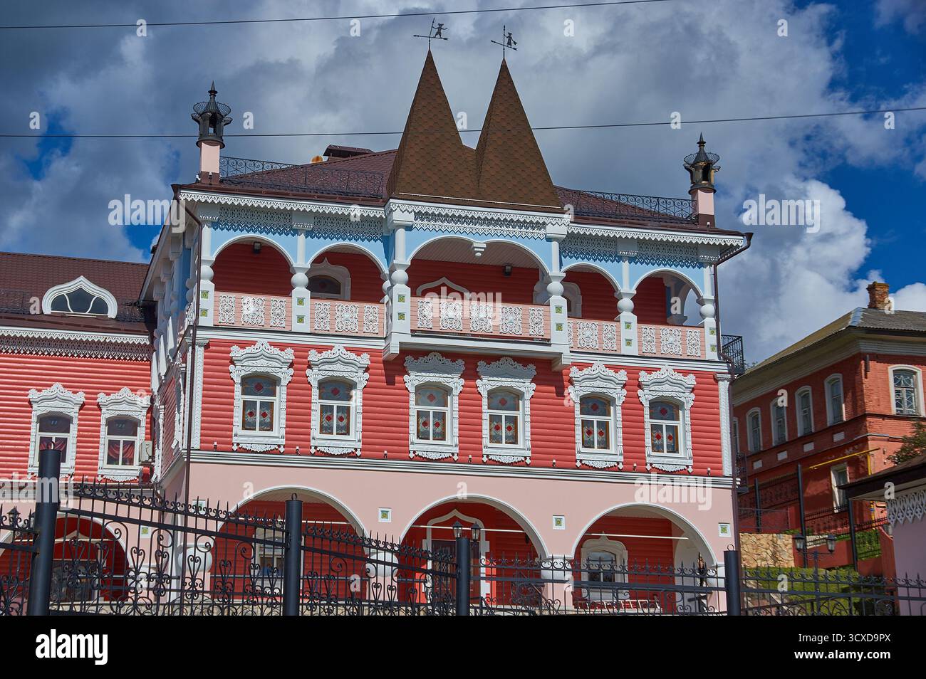 Myschkin ist eine Stadt und das Verwaltungszentrum des Bezirks Myschkinski in der Oblast Jaroslawl, Russland. Stockfotohttps://www.alamy.de/image-license-details/?v=1https://www.alamy.de/myschkin-ist-eine-stadt-und-das-verwaltungszentrum-des-bezirks-myschkinski-in-der-oblast-jaroslawl-russland-image704688850.html
RF3CXD9PX–Myschkin ist eine Stadt und das Verwaltungszentrum des Bezirks Myschkinski in der Oblast Jaroslawl, Russland.
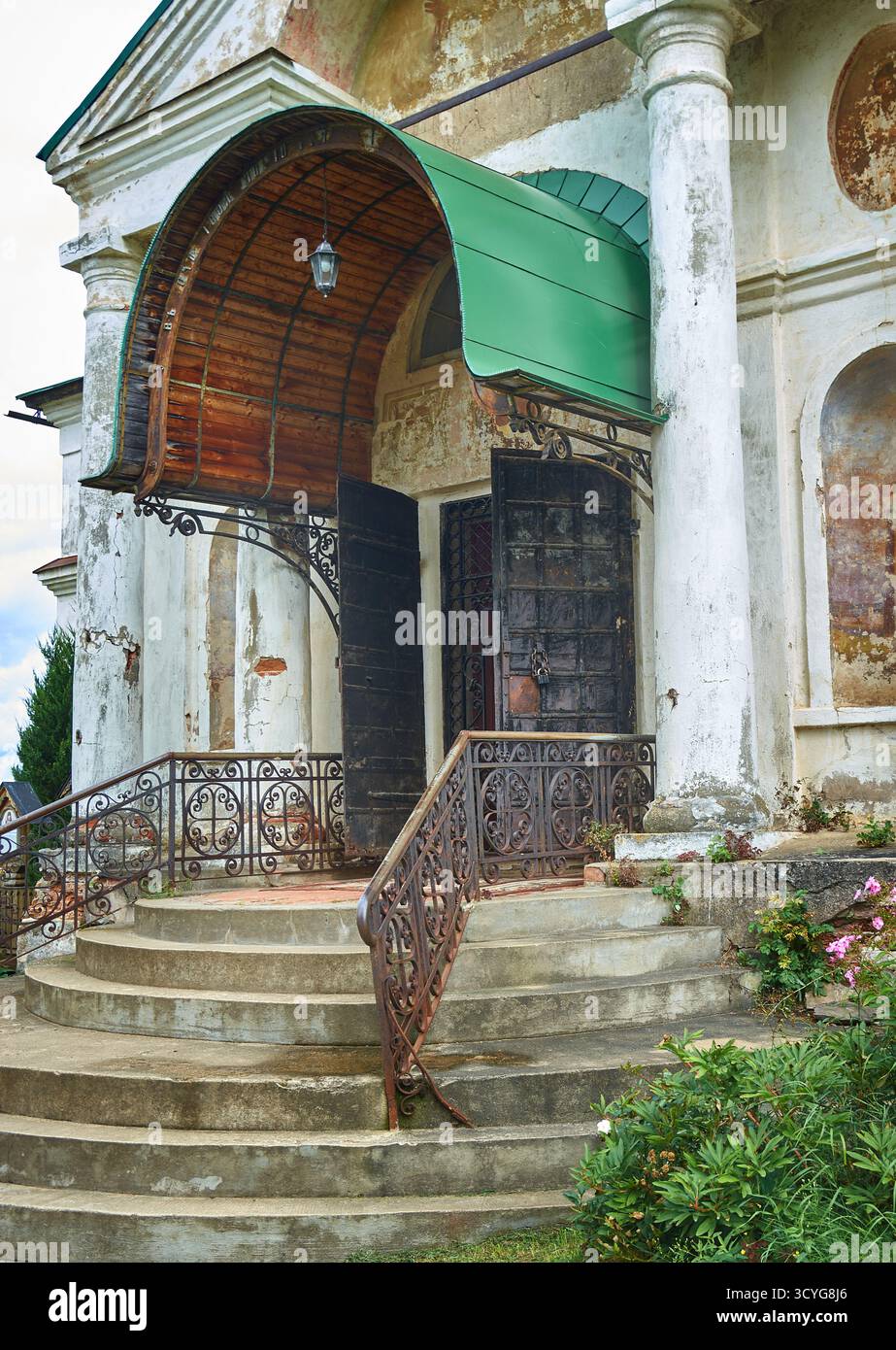 Das Borisoglebski-Kloster, eine geschnitzte Barbakankirche, die im späten 17. Jahrhundert von der Metropolitin Iona Sysojewitsch in Auftrag gegeben wurde. Stockfotohttps://www.alamy.de/image-license-details/?v=1https://www.alamy.de/das-borisoglebski-kloster-eine-geschnitzte-barbakankirche-die-im-spaten-17-jahrhundert-von-der-metropolitin-iona-sysojewitsch-in-auftrag-gegeben-wurde-image705368446.html
RF3CYG8J6–Das Borisoglebski-Kloster, eine geschnitzte Barbakankirche, die im späten 17. Jahrhundert von der Metropolitin Iona Sysojewitsch in Auftrag gegeben wurde.
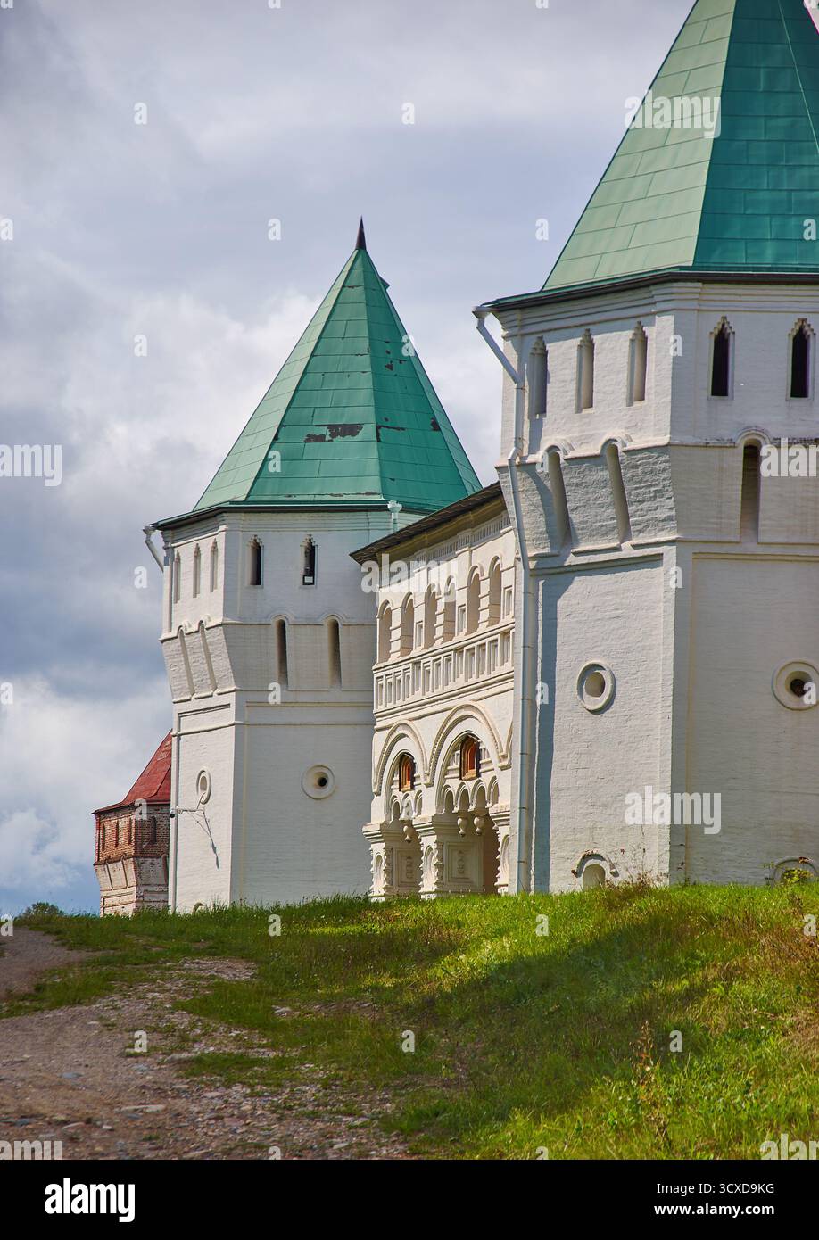 Das Borisoglebski-Kloster, eine geschnitzte Barbakankirche, die im späten 17. Jahrhundert von der Metropolitin Iona Sysojewitsch in Auftrag gegeben wurde. Stockfotohttps://www.alamy.de/image-license-details/?v=1https://www.alamy.de/das-borisoglebski-kloster-eine-geschnitzte-barbakankirche-die-im-spaten-17-jahrhundert-von-der-metropolitin-iona-sysojewitsch-in-auftrag-gegeben-wurde-image704688756.html
RF3CXD9KG–Das Borisoglebski-Kloster, eine geschnitzte Barbakankirche, die im späten 17. Jahrhundert von der Metropolitin Iona Sysojewitsch in Auftrag gegeben wurde.
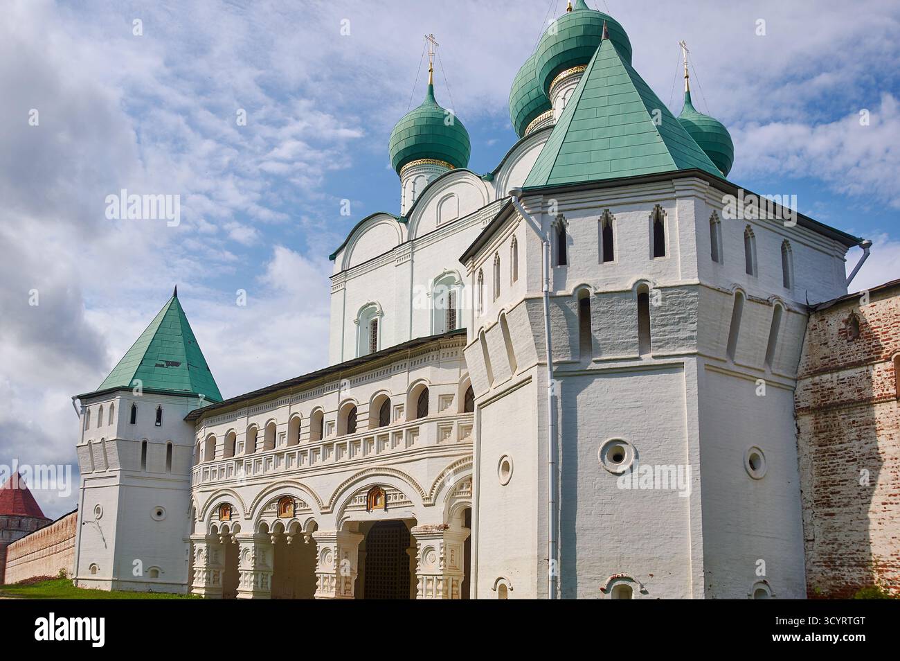 Das Borisoglebski-Kloster, eine geschnitzte Barbakankirche, die im späten 17. Jahrhundert von der Metropolitin Iona Sysojewitsch in Auftrag gegeben wurde. Stockfotohttps://www.alamy.de/image-license-details/?v=1https://www.alamy.de/das-borisoglebski-kloster-eine-geschnitzte-barbakankirche-die-im-spaten-17-jahrhundert-von-der-metropolitin-iona-sysojewitsch-in-auftrag-gegeben-wurde-image705534616.html
RF3CYRTGT–Das Borisoglebski-Kloster, eine geschnitzte Barbakankirche, die im späten 17. Jahrhundert von der Metropolitin Iona Sysojewitsch in Auftrag gegeben wurde.
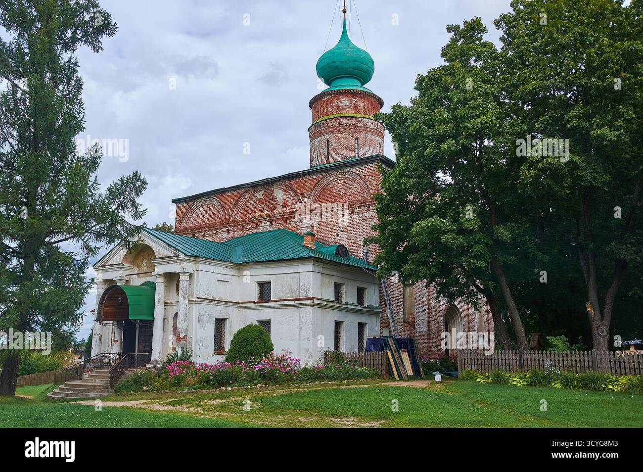 Das Borisoglebski-Kloster, eine geschnitzte Barbakankirche, die im späten 17. Jahrhundert von der Metropolitin Iona Sysojewitsch in Auftrag gegeben wurde. Stockfotohttps://www.alamy.de/image-license-details/?v=1https://www.alamy.de/das-borisoglebski-kloster-eine-geschnitzte-barbakankirche-die-im-spaten-17-jahrhundert-von-der-metropolitin-iona-sysojewitsch-in-auftrag-gegeben-wurde-image705368499.html
RF3CYG8M3–Das Borisoglebski-Kloster, eine geschnitzte Barbakankirche, die im späten 17. Jahrhundert von der Metropolitin Iona Sysojewitsch in Auftrag gegeben wurde.
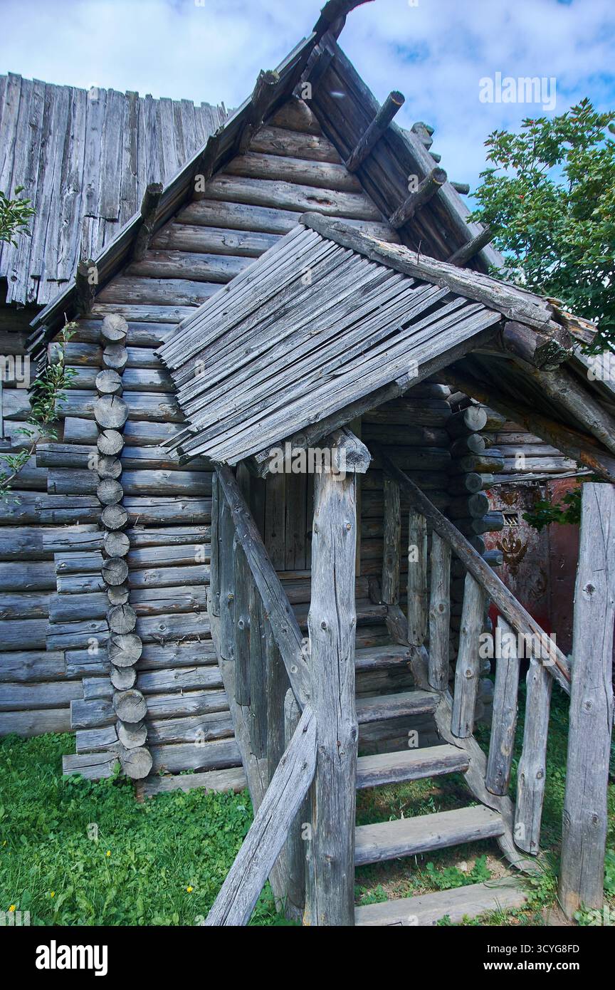 Shhurovo Festung, Museum für slawische Geschichte Hotel. Suzdal Stockfotohttps://www.alamy.de/image-license-details/?v=1https://www.alamy.de/shhurovo-festung-museum-fur-slawische-geschichte-hotel-suzdal-image705368369.html
RF3CYG8FD–Shhurovo Festung, Museum für slawische Geschichte Hotel. Suzdal
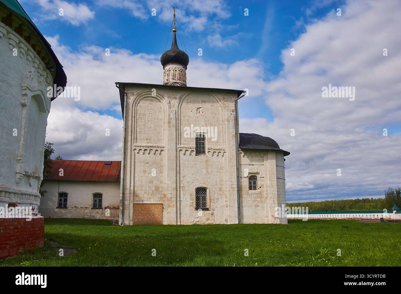 Kideksha Kirche, Kirche von Boris und Gleb ist eine Kirche, die im Jahre 1152 auf Befehl von Prinz Juri Dolgoruky in Kideksha am Fluss Nerl erbaut wurde Stockfotohttps://www.alamy.de/image-license-details/?v=1https://www.alamy.de/kideksha-kirche-kirche-von-boris-und-gleb-ist-eine-kirche-die-im-jahre-1152-auf-befehl-von-prinz-juri-dolgoruky-in-kideksha-am-fluss-nerl-erbaut-wurde-image705534519.html
RF3CYRTDB–Kideksha Kirche, Kirche von Boris und Gleb ist eine Kirche, die im Jahre 1152 auf Befehl von Prinz Juri Dolgoruky in Kideksha am Fluss Nerl erbaut wurde
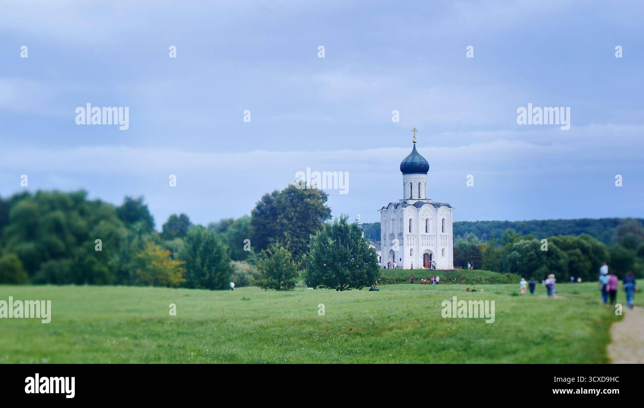 Die Kirche der Heiligen Jungfrau auf Nerl Fluss, Bogolyubovo, Russland Stockfotohttps://www.alamy.de/image-license-details/?v=1https://www.alamy.de/die-kirche-der-heiligen-jungfrau-auf-nerl-fluss-bogolyubovo-russland-image704688696.html
RF3CXD9HC–Die Kirche der Heiligen Jungfrau auf Nerl Fluss, Bogolyubovo, Russland
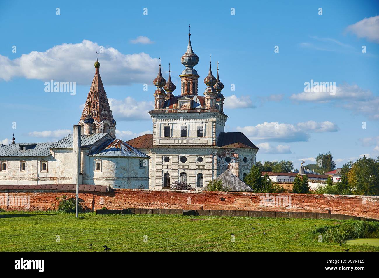 Kirche Znamenskaya, Kathedrale des Heiligen Erzengels Michael, Stadt Jurjew-Polsky, Verwaltungszentrum des Bezirks Jurjew-Polski in der Oblast Wladimir, R. Stockfotohttps://www.alamy.de/image-license-details/?v=1https://www.alamy.de/kirche-znamenskaya-kathedrale-des-heiligen-erzengels-michael-stadt-jurjew-polsky-verwaltungszentrum-des-bezirks-jurjew-polski-in-der-oblast-wladimir-r-image705534541.html
RF3CYRTE5–Kirche Znamenskaya, Kathedrale des Heiligen Erzengels Michael, Stadt Jurjew-Polsky, Verwaltungszentrum des Bezirks Jurjew-Polski in der Oblast Wladimir, R.
 Taldyk Pass, 3615 m, Pamir Highway, Kirgisistan, schöne Aussicht auf den Berg Straße Stockfotohttps://www.alamy.de/image-license-details/?v=1https://www.alamy.de/taldyk-pass-3615-m-pamir-highway-kirgisistan-schone-aussicht-auf-den-berg-strasse-image570979900.html
RF2T4XAK8–Taldyk Pass, 3615 m, Pamir Highway, Kirgisistan, schöne Aussicht auf den Berg Straße
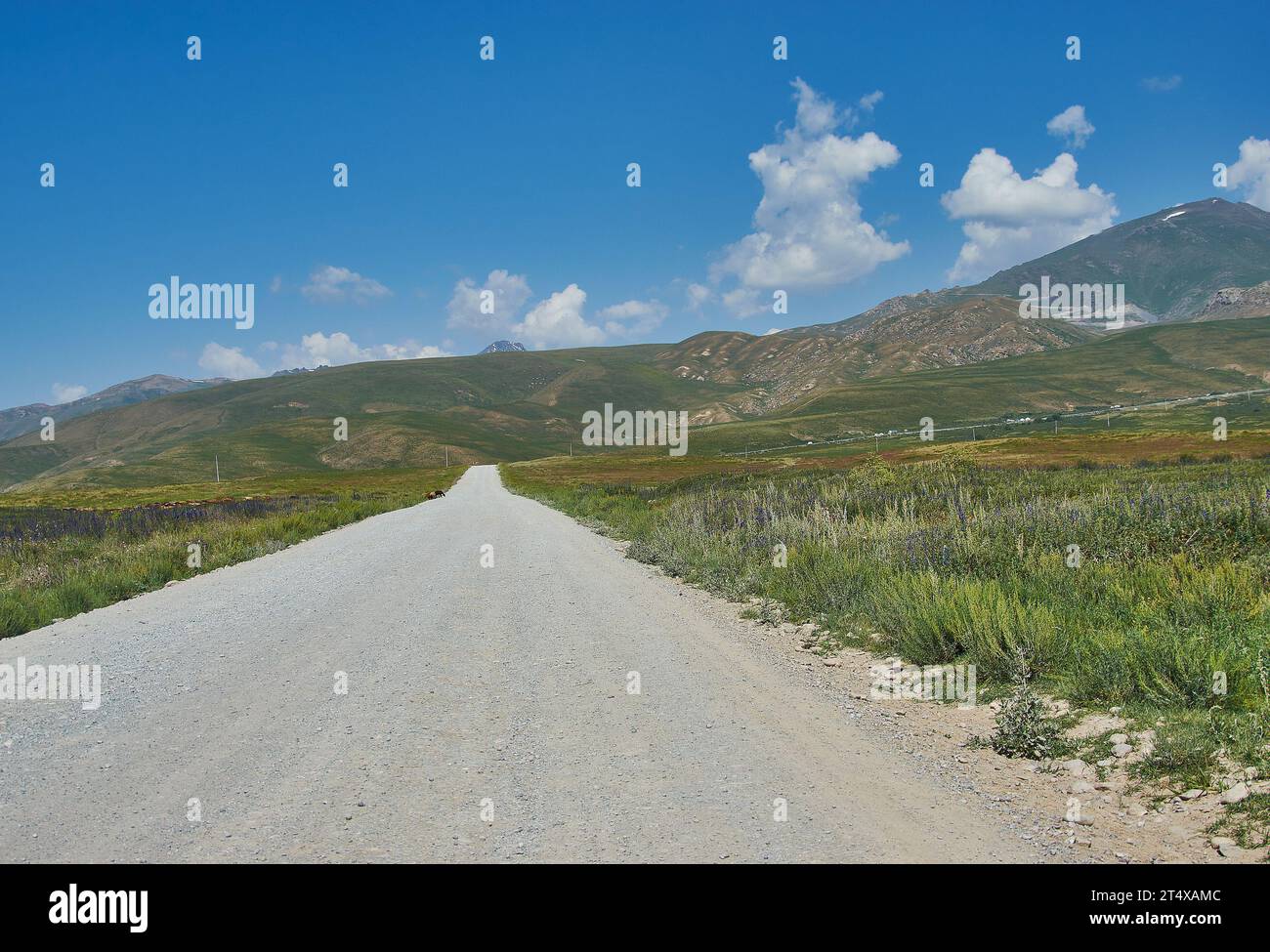 Suusamyr Tal, Berglandschaft. Kirgisistan. Stockfotohttps://www.alamy.de/image-license-details/?v=1https://www.alamy.de/suusamyr-tal-berglandschaft-kirgisistan-image570979932.html
RF2T4XAMC–Suusamyr Tal, Berglandschaft. Kirgisistan.
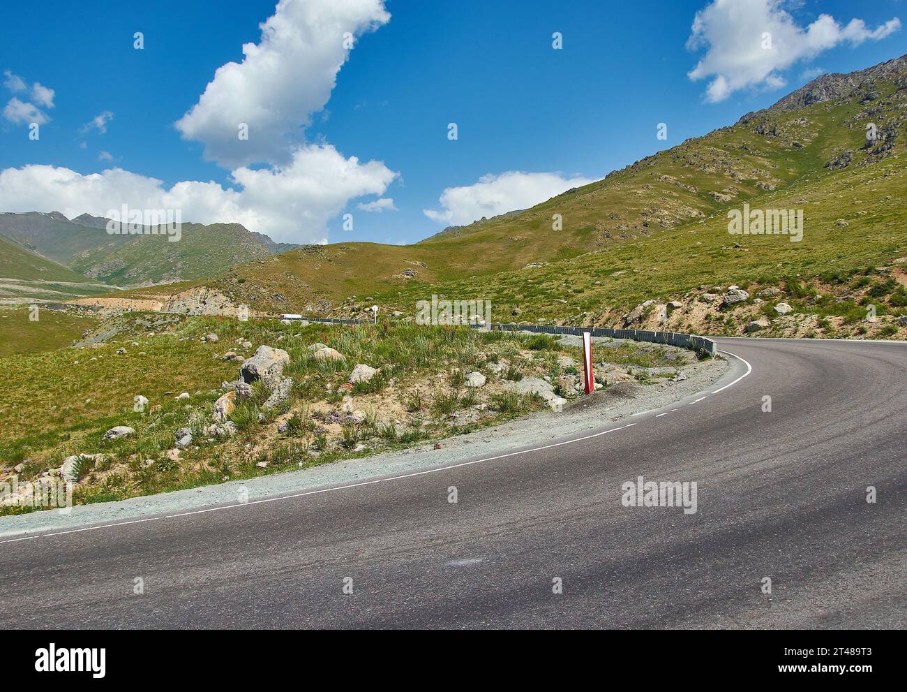 Suusamyr Tal, Berglandschaft. Kirgisistan. Stockfotohttps://www.alamy.de/image-license-details/?v=1https://www.alamy.de/suusamyr-tal-berglandschaft-kirgisistan-image570584115.html
RF2T489T3–Suusamyr Tal, Berglandschaft. Kirgisistan.
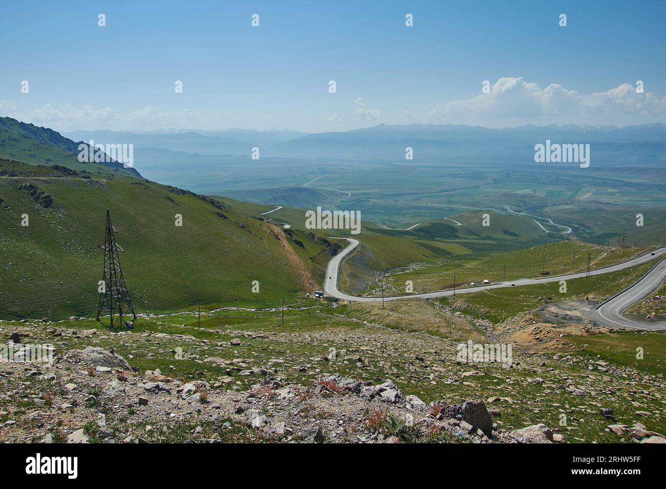 Suusamyr Valley, Taldyk Pass Berglandschaft. Kirgisistan. Stockfotohttps://www.alamy.de/image-license-details/?v=1https://www.alamy.de/suusamyr-valley-taldyk-pass-berglandschaft-kirgisistan-image561734083.html
RF2RHW5FF–Suusamyr Valley, Taldyk Pass Berglandschaft. Kirgisistan.
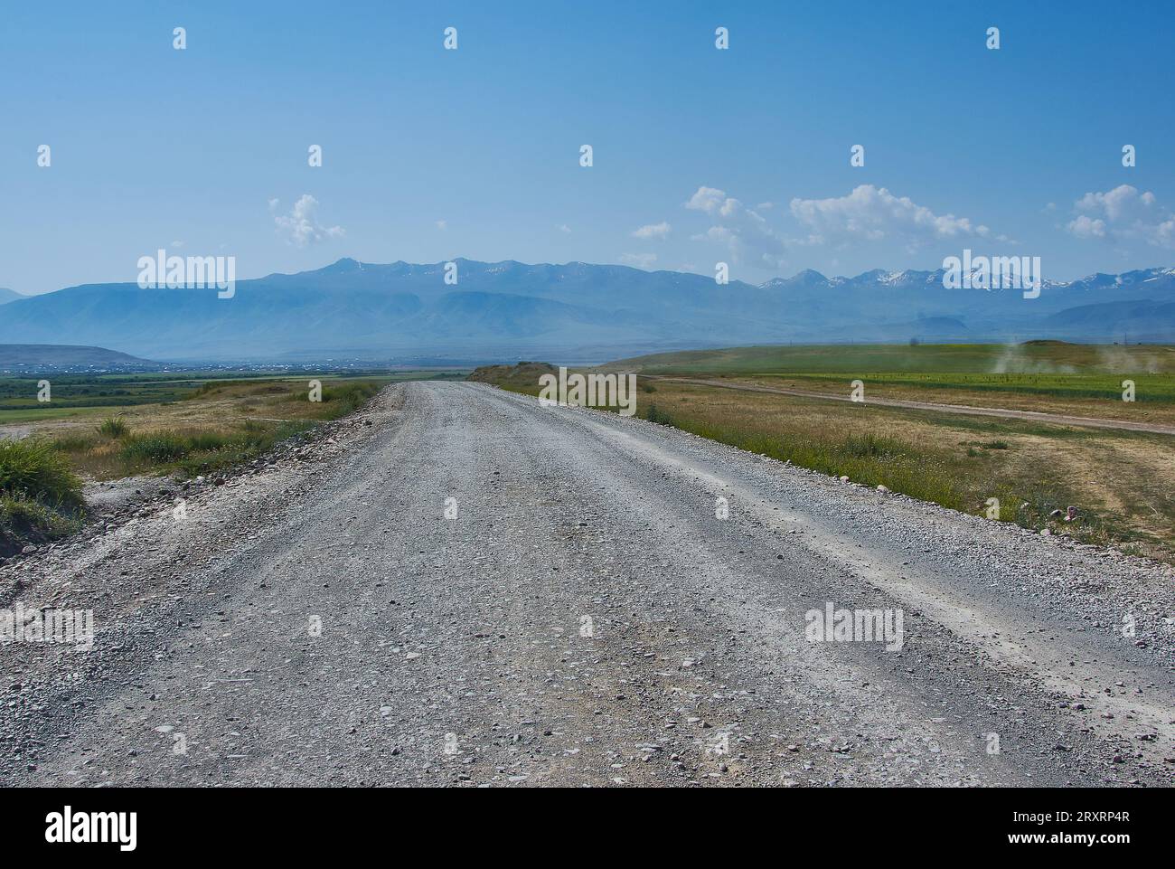 Suusamyr Tal, Berglandschaft. Kirgisistan. Stockfotohttps://www.alamy.de/image-license-details/?v=1https://www.alamy.de/suusamyr-tal-berglandschaft-kirgisistan-image567235111.html
RF2RXRP4R–Suusamyr Tal, Berglandschaft. Kirgisistan.
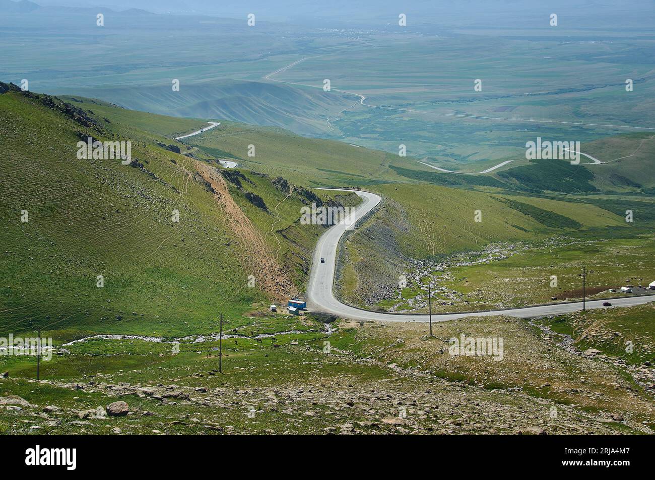 Suusamyr Valley, Taldyk Pass Berglandschaft. Kirgisistan. Stockfotohttps://www.alamy.de/image-license-details/?v=1https://www.alamy.de/suusamyr-valley-taldyk-pass-berglandschaft-kirgisistan-image562018807.html
RF2RJA4M7–Suusamyr Valley, Taldyk Pass Berglandschaft. Kirgisistan.
 Suusamyr Valley, Taldyk Pass Berglandschaft. Kirgisistan. Stockfotohttps://www.alamy.de/image-license-details/?v=1https://www.alamy.de/suusamyr-valley-taldyk-pass-berglandschaft-kirgisistan-image560588050.html
RF2RG0YNP–Suusamyr Valley, Taldyk Pass Berglandschaft. Kirgisistan.
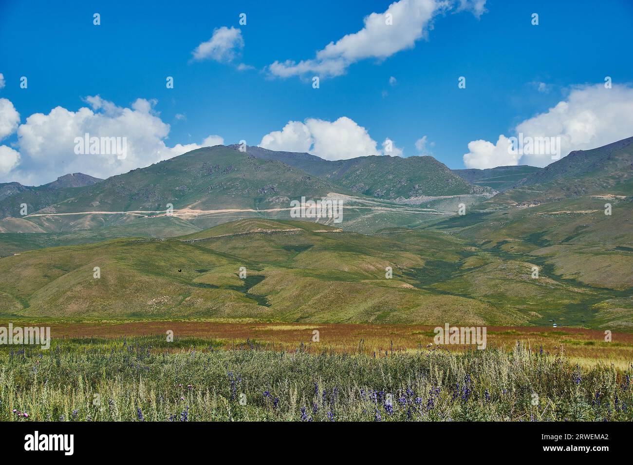 Suusamyr Tal, Berglandschaft. Kirgisistan. Stockfotohttps://www.alamy.de/image-license-details/?v=1https://www.alamy.de/suusamyr-tal-berglandschaft-kirgisistan-image566421466.html
RF2RWEMA2–Suusamyr Tal, Berglandschaft. Kirgisistan.
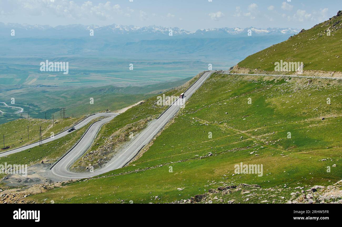 Suusamyr Valley, Taldyk Pass Berglandschaft. Kirgisistan. Stockfotohttps://www.alamy.de/image-license-details/?v=1https://www.alamy.de/suusamyr-valley-taldyk-pass-berglandschaft-kirgisistan-image561734091.html
RF2RHW5FR–Suusamyr Valley, Taldyk Pass Berglandschaft. Kirgisistan.
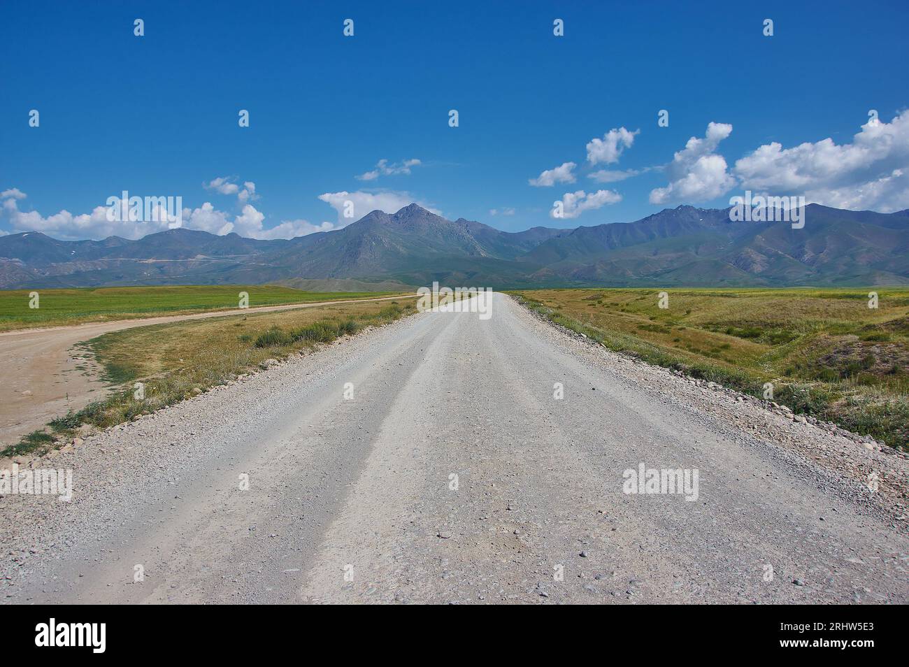 Suusamyr Tal, Berglandschaft. Kirgisistan. Stockfotohttps://www.alamy.de/image-license-details/?v=1https://www.alamy.de/suusamyr-tal-berglandschaft-kirgisistan-image561734043.html
RF2RHW5E3–Suusamyr Tal, Berglandschaft. Kirgisistan.
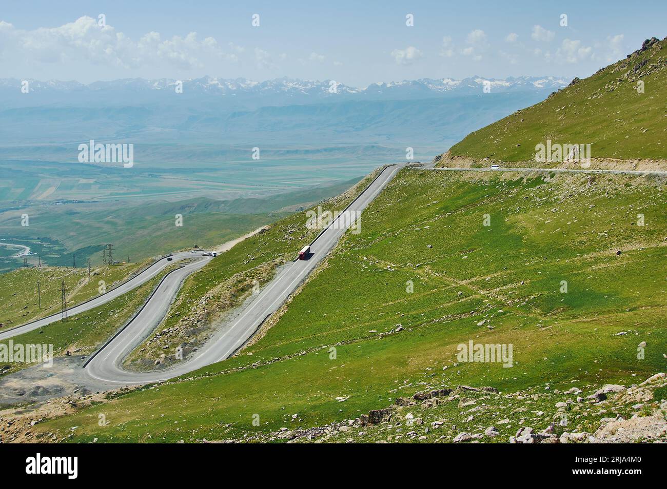 Suusamyr Valley, Taldyk Pass Berglandschaft. Kirgisistan. Stockfotohttps://www.alamy.de/image-license-details/?v=1https://www.alamy.de/suusamyr-valley-taldyk-pass-berglandschaft-kirgisistan-image562018800.html
RF2RJA4M0–Suusamyr Valley, Taldyk Pass Berglandschaft. Kirgisistan.
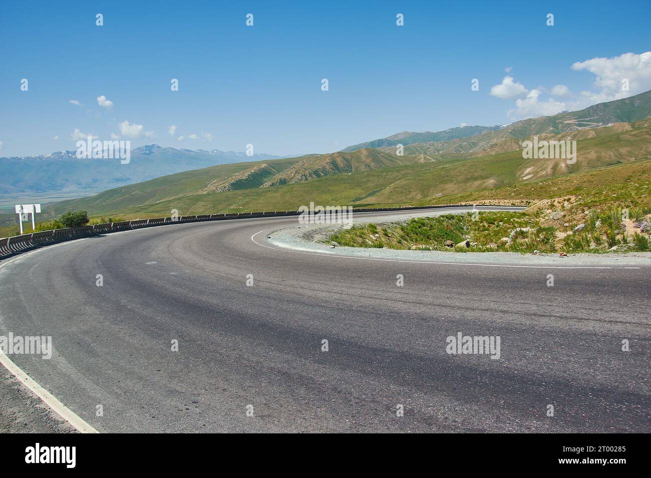 Suusamyr Tal, Berglandschaft. Kirgisistan. Stockfotohttps://www.alamy.de/image-license-details/?v=1https://www.alamy.de/suusamyr-tal-berglandschaft-kirgisistan-image567943941.html
RF2T00285–Suusamyr Tal, Berglandschaft. Kirgisistan.
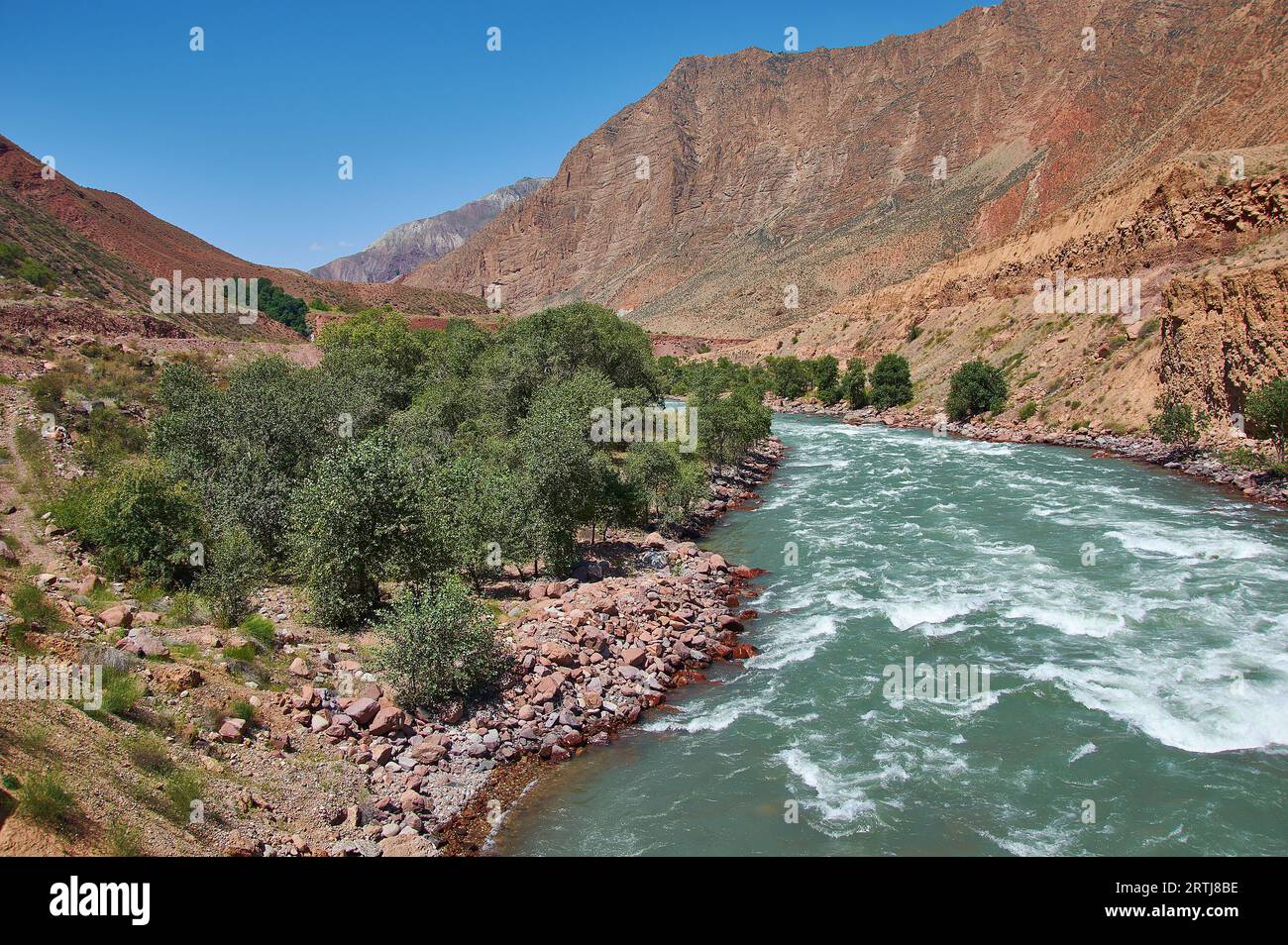 Neue Nord-Süd-Route, Canyon Fluss Kekemeren, Kirgisistan. Stockfotohttps://www.alamy.de/image-license-details/?v=1https://www.alamy.de/neue-nord-sud-route-canyon-fluss-kekemeren-kirgisistan-image565885250.html
RF2RTJ8BE–Neue Nord-Süd-Route, Canyon Fluss Kekemeren, Kirgisistan.
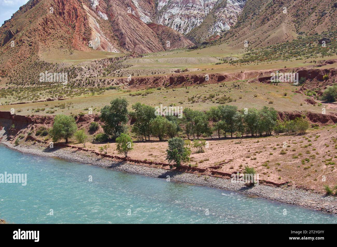 Neue Nord-Süd-Route, Canyon Fluss Kekemeren, Kirgisistan. Stockfotohttps://www.alamy.de/image-license-details/?v=1https://www.alamy.de/neue-nord-sud-route-canyon-fluss-kekemeren-kirgisistan-image569777487.html
RF2T2YGYY–Neue Nord-Süd-Route, Canyon Fluss Kekemeren, Kirgisistan.
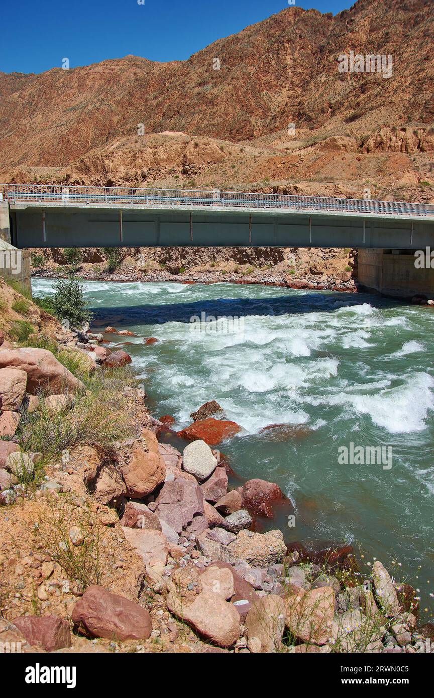 Neue Nord-Süd-Route, Canyon Fluss Kekemeren, Kirgisistan. Stockfotohttps://www.alamy.de/image-license-details/?v=1https://www.alamy.de/neue-nord-sud-route-canyon-fluss-kekemeren-kirgisistan-image566559509.html
RF2RWN0C5–Neue Nord-Süd-Route, Canyon Fluss Kekemeren, Kirgisistan.
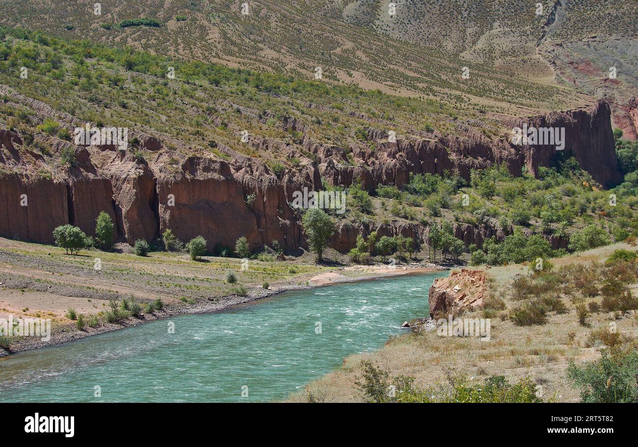 Neue Nord-Süd-Route, Canyon Fluss Kekemeren, Kirgisistan. Stockfotohttps://www.alamy.de/image-license-details/?v=1https://www.alamy.de/neue-nord-sud-route-canyon-fluss-kekemeren-kirgisistan-image565612322.html
RF2RT5T82–Neue Nord-Süd-Route, Canyon Fluss Kekemeren, Kirgisistan.
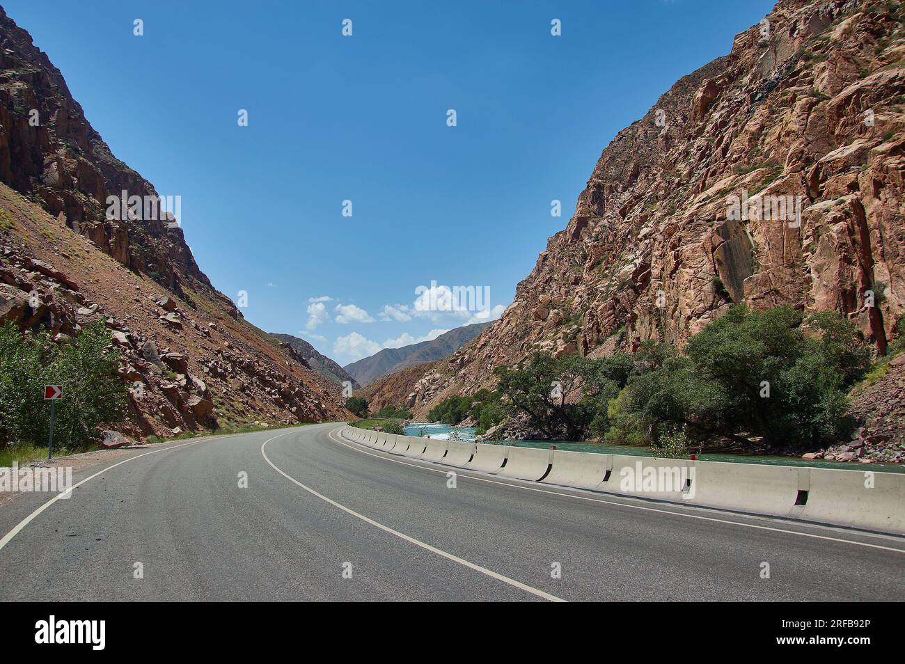 Neue Nord-Süd-Route, Canyon Fluss Kekemeren, Kirgisistan. Stockfotohttps://www.alamy.de/image-license-details/?v=1https://www.alamy.de/neue-nord-sud-route-canyon-fluss-kekemeren-kirgisistan-image560200222.html
RF2RFB92P–Neue Nord-Süd-Route, Canyon Fluss Kekemeren, Kirgisistan.
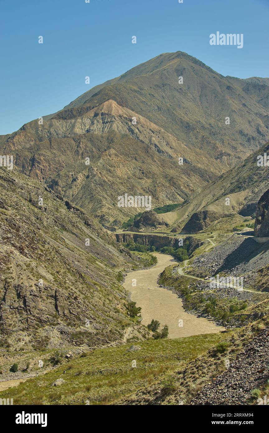 Neue Nord-Süd-Route, Canyon River Naryn, Kirgisistan. Stockfotohttps://www.alamy.de/image-license-details/?v=1https://www.alamy.de/neue-nord-sud-route-canyon-river-naryn-kirgisistan-image565455552.html
RF2RRXM94–Neue Nord-Süd-Route, Canyon River Naryn, Kirgisistan.
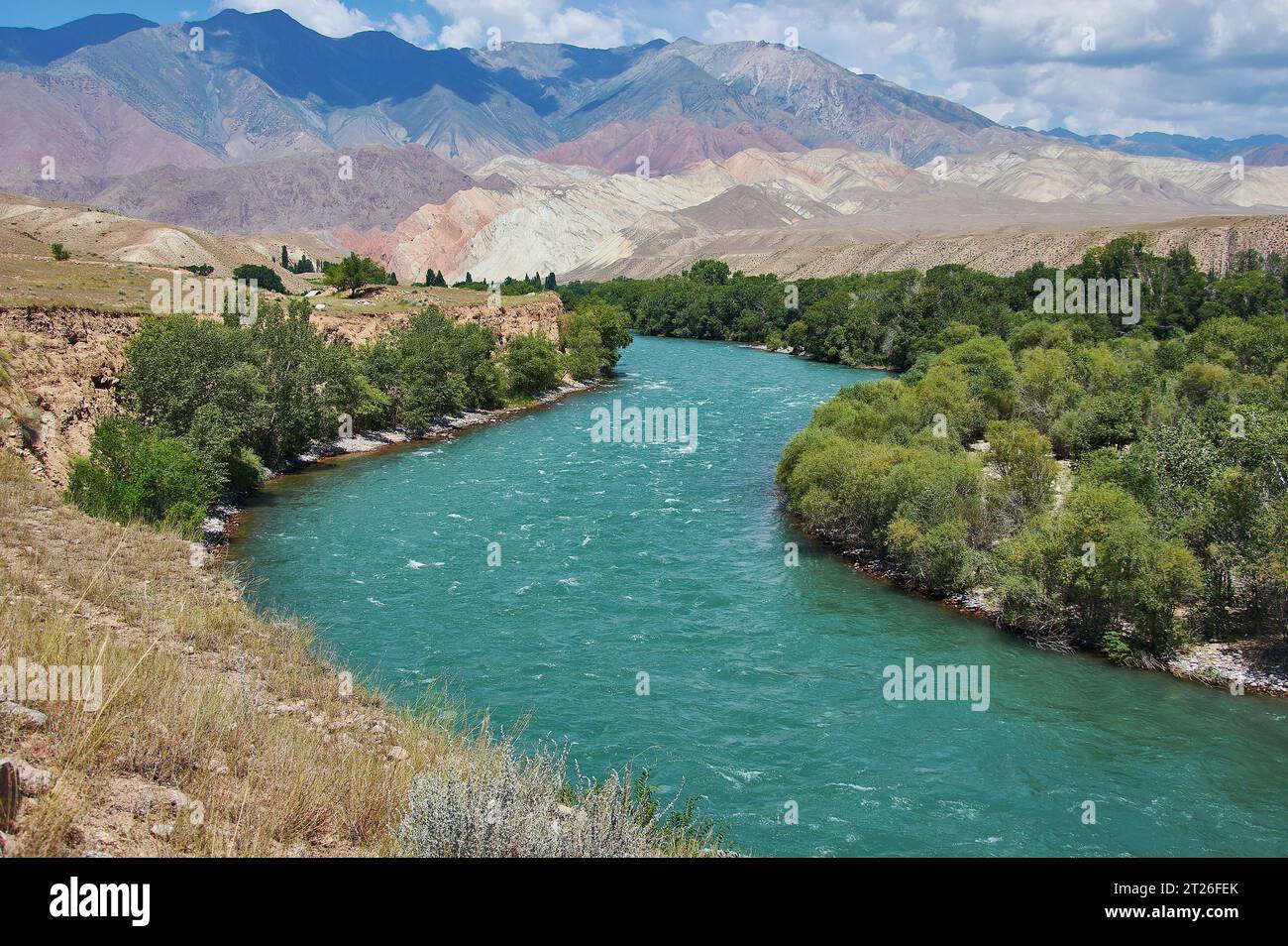 Neue Nord-Süd-Route, Canyon Fluss Kekemeren, Kirgisistan. Stockfotohttps://www.alamy.de/image-license-details/?v=1https://www.alamy.de/neue-nord-sud-route-canyon-fluss-kekemeren-kirgisistan-image569315339.html
RF2T26FEK–Neue Nord-Süd-Route, Canyon Fluss Kekemeren, Kirgisistan.
 canyon River Kekemeren, Kirgisistan. Bergschlucht Stockfotohttps://www.alamy.de/image-license-details/?v=1https://www.alamy.de/canyon-river-kekemeren-kirgisistan-bergschlucht-image566856278.html
RF2RX6EY2–canyon River Kekemeren, Kirgisistan. Bergschlucht
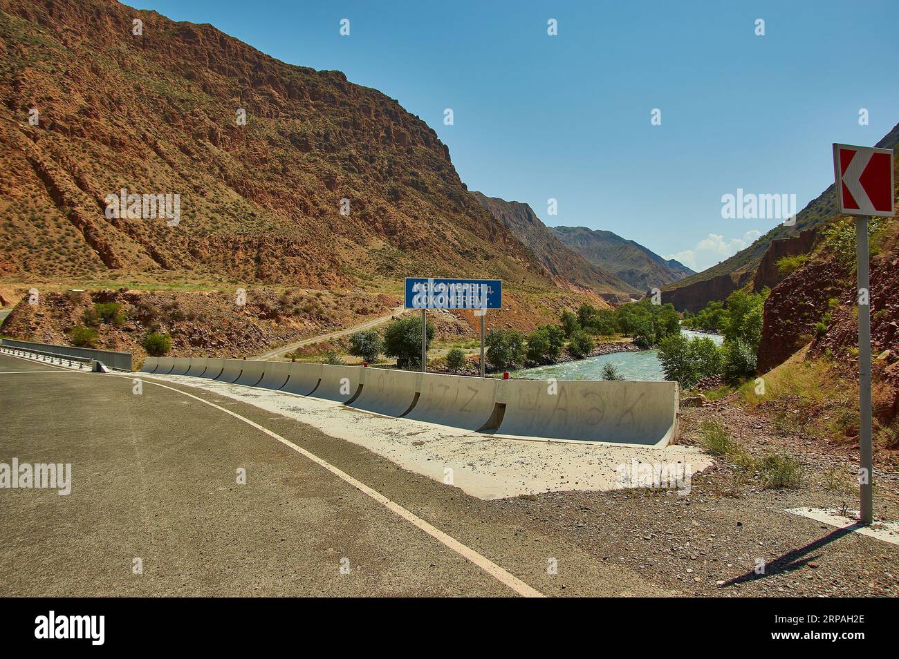 Neue Nord-Süd-Route, Canyon Fluss Kekemeren, Kirgisistan. Stockfotohttps://www.alamy.de/image-license-details/?v=1https://www.alamy.de/neue-nord-sud-route-canyon-fluss-kekemeren-kirgisistan-image564487126.html
RF2RPAH2E–Neue Nord-Süd-Route, Canyon Fluss Kekemeren, Kirgisistan.
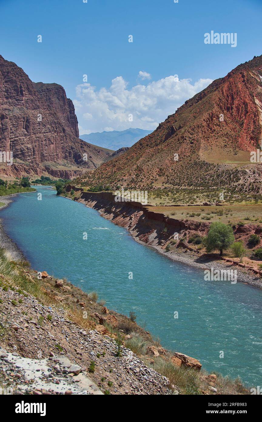 Neue Nord-Süd-Route, Canyon Fluss Kekemeren, Kirgisistan. Stockfotohttps://www.alamy.de/image-license-details/?v=1https://www.alamy.de/neue-nord-sud-route-canyon-fluss-kekemeren-kirgisistan-image560200371.html
RF2RFB983–Neue Nord-Süd-Route, Canyon Fluss Kekemeren, Kirgisistan.
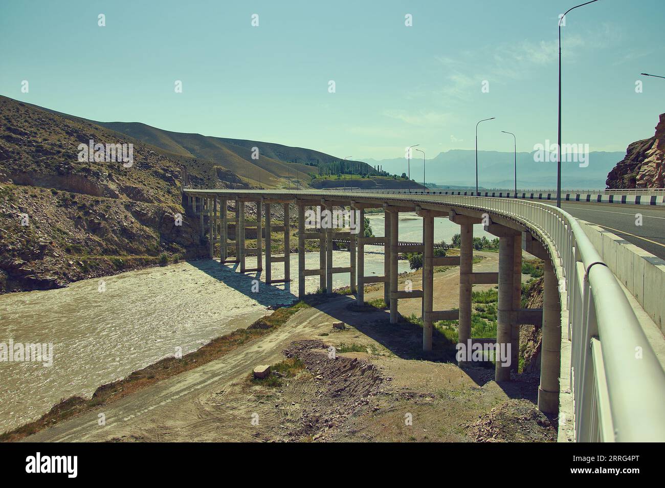 Neue Nord-Süd-Route, Brücke überquert 1000 Meter Schlucht Fluss Naryn, Kirgisistan. Stockfotohttps://www.alamy.de/image-license-details/?v=1https://www.alamy.de/neue-nord-sud-route-brucke-uberquert-1000-meter-schlucht-fluss-naryn-kirgisistan-image565223872.html
RF2RRG4PT–Neue Nord-Süd-Route, Brücke überquert 1000 Meter Schlucht Fluss Naryn, Kirgisistan.
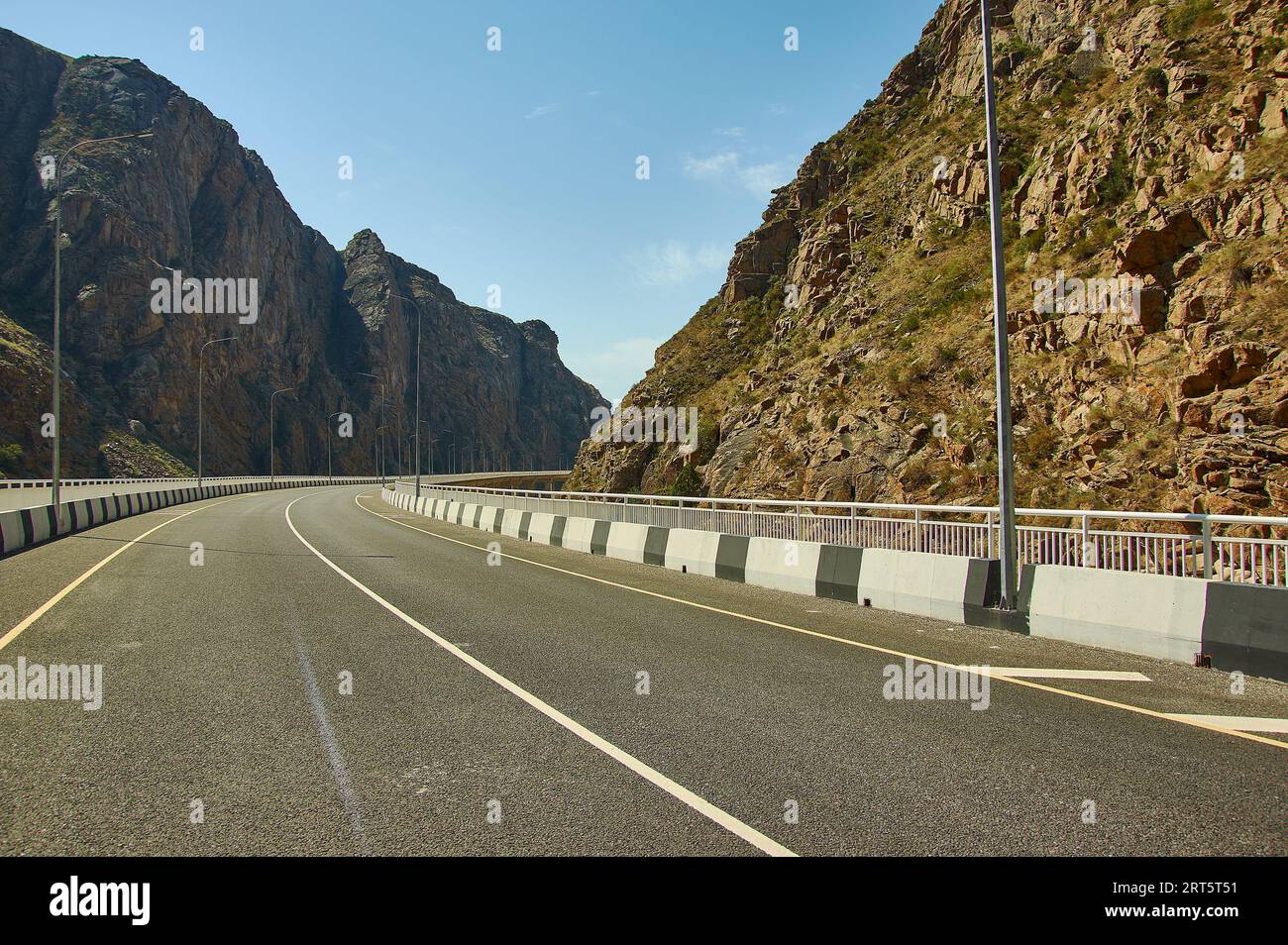 Neue Nord-Süd-Route, Canyon River Naryn, Kirgisistan. Stockfotohttps://www.alamy.de/image-license-details/?v=1https://www.alamy.de/neue-nord-sud-route-canyon-river-naryn-kirgisistan-image565612237.html
RF2RT5T51–Neue Nord-Süd-Route, Canyon River Naryn, Kirgisistan.
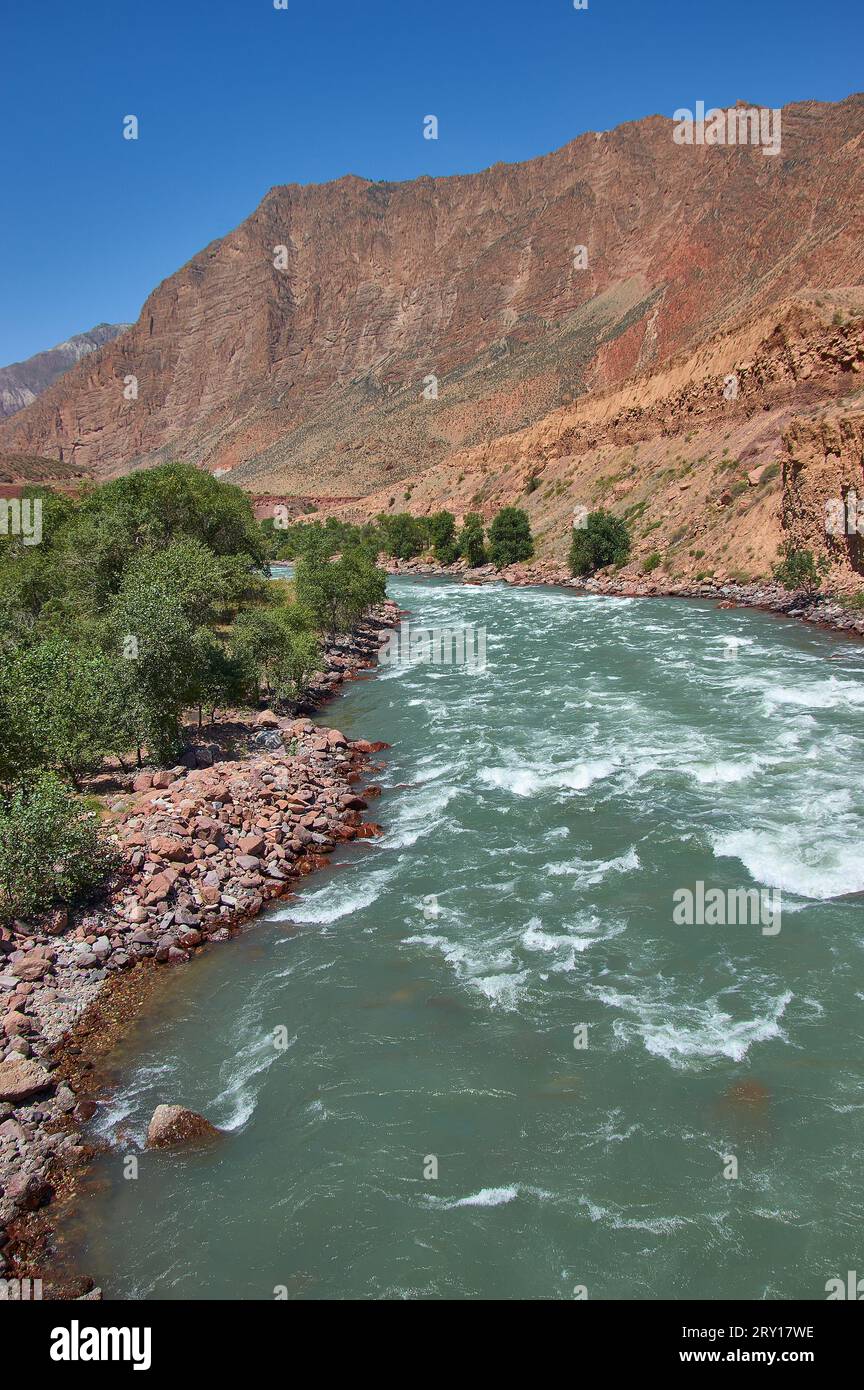 Neue Nord-Süd-Route, Canyon Fluss Kekemeren, Kirgisistan. Stockfotohttps://www.alamy.de/image-license-details/?v=1https://www.alamy.de/neue-nord-sud-route-canyon-fluss-kekemeren-kirgisistan-image567355642.html
RF2RY17WE–Neue Nord-Süd-Route, Canyon Fluss Kekemeren, Kirgisistan.
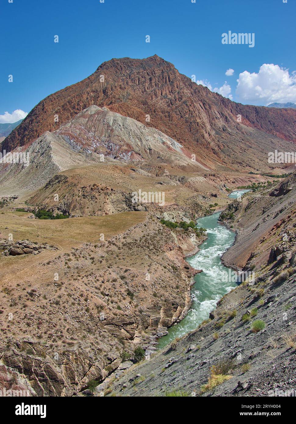 Neue Nord-Süd-Route, Canyon Fluss Kekemeren, Kirgisistan. Stockfotohttps://www.alamy.de/image-license-details/?v=1https://www.alamy.de/neue-nord-sud-route-canyon-fluss-kekemeren-kirgisistan-image567700676.html
RF2RYH004–Neue Nord-Süd-Route, Canyon Fluss Kekemeren, Kirgisistan.
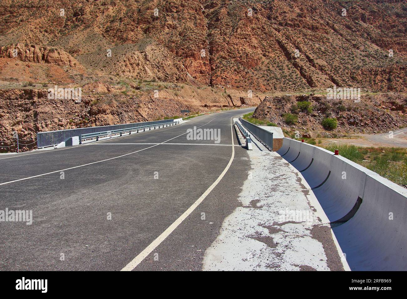 Neue Nord-Süd-Route, Canyon Fluss Kekemeren, Kirgisistan. Stockfotohttps://www.alamy.de/image-license-details/?v=1https://www.alamy.de/neue-nord-sud-route-canyon-fluss-kekemeren-kirgisistan-image560200321.html
RF2RFB969–Neue Nord-Süd-Route, Canyon Fluss Kekemeren, Kirgisistan.
 canyon River Kekemeren, Kirgisistan. Bergschlucht Stockfotohttps://www.alamy.de/image-license-details/?v=1https://www.alamy.de/canyon-river-kekemeren-kirgisistan-bergschlucht-image564487178.html
RF2RPAH4A–canyon River Kekemeren, Kirgisistan. Bergschlucht
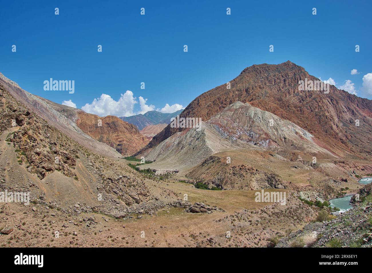 Neue Nord-Süd-Route, Canyon River Naryn, Kirgisistan. Stockfotohttps://www.alamy.de/image-license-details/?v=1https://www.alamy.de/neue-nord-sud-route-canyon-river-naryn-kirgisistan-image566856277.html
RF2RX6EY1–Neue Nord-Süd-Route, Canyon River Naryn, Kirgisistan.
 Bergplateau, Straße nach Kasarman, Bezirk der Region Jalal-Abad in Westkirgisistan Stockfotohttps://www.alamy.de/image-license-details/?v=1https://www.alamy.de/bergplateau-strasse-nach-kasarman-bezirk-der-region-jalal-abad-in-westkirgisistan-image568955714.html
RF2T1J4PX–Bergplateau, Straße nach Kasarman, Bezirk der Region Jalal-Abad in Westkirgisistan
 Hochplateau Bezirk Jalal-Abad Region Kirgisistan Stockfotohttps://www.alamy.de/image-license-details/?v=1https://www.alamy.de/hochplateau-bezirk-jalal-abad-region-kirgisistan-image567355613.html
RF2RY17TD–Hochplateau Bezirk Jalal-Abad Region Kirgisistan
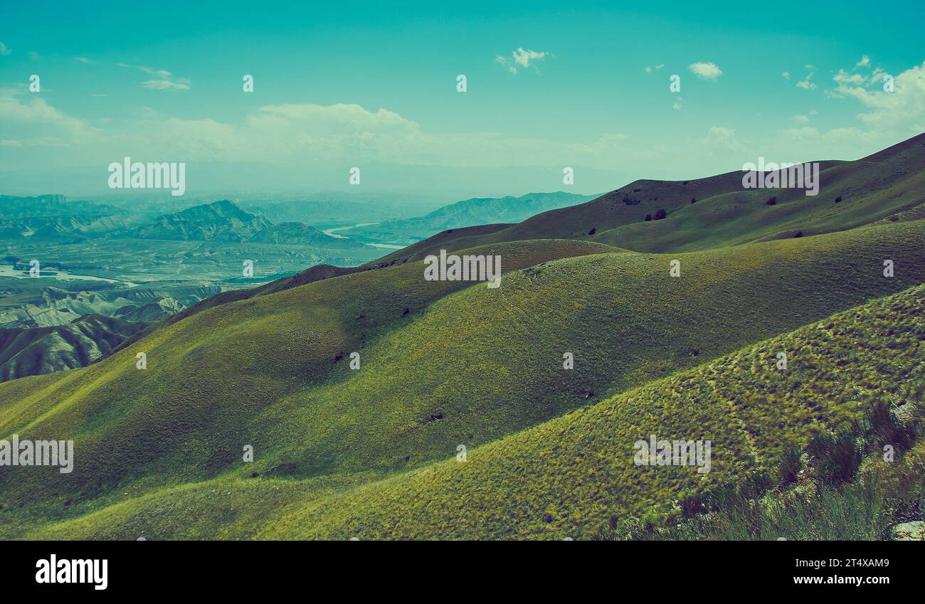 Toguz-Toro pass Bezirk Jalal-Abad Region Kirgisistan Stockfotohttps://www.alamy.de/image-license-details/?v=1https://www.alamy.de/toguz-toro-pass-bezirk-jalal-abad-region-kirgisistan-image570979929.html
RF2T4XAM9–Toguz-Toro pass Bezirk Jalal-Abad Region Kirgisistan
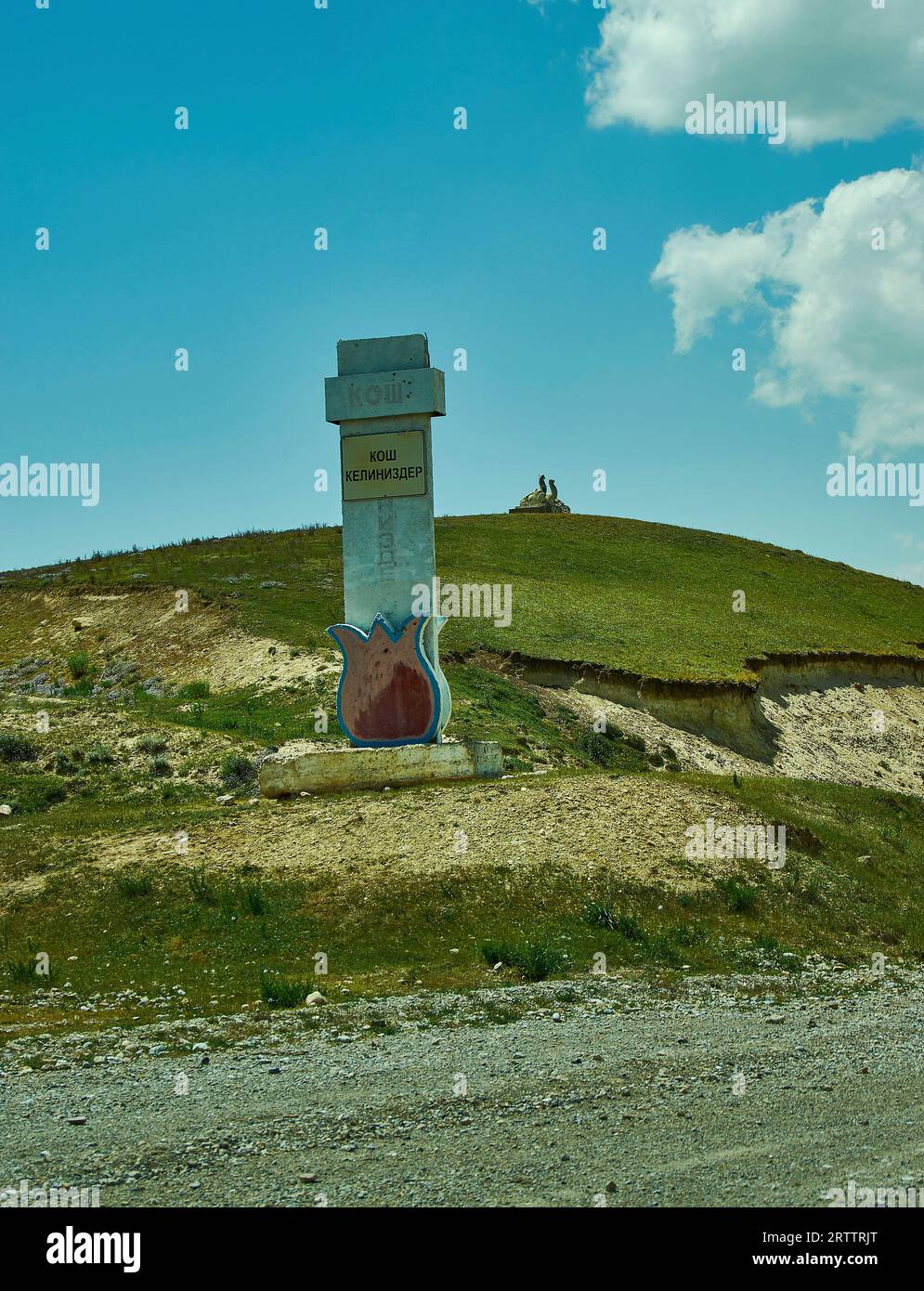 Toguz-Toro pass Bezirk Jalal-Abad Region Kirgisistan Stockfotohttps://www.alamy.de/image-license-details/?v=1https://www.alamy.de/toguz-toro-pass-bezirk-jalal-abad-region-kirgisistan-image566028928.html
RF2RTTRJT–Toguz-Toro pass Bezirk Jalal-Abad Region Kirgisistan
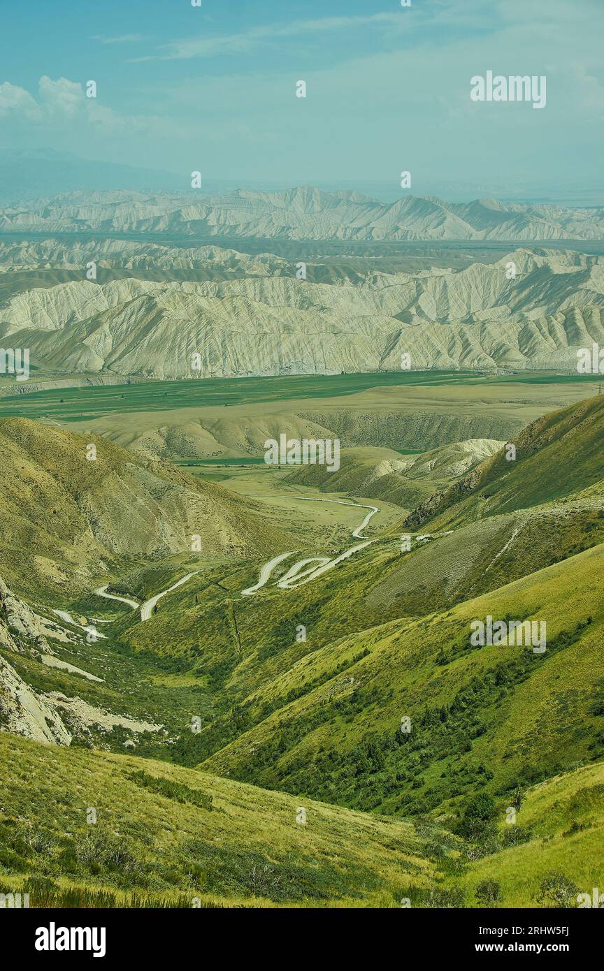 Toguz-Toro pass Bezirk Jalal-Abad Region Kirgisistan Stockfotohttps://www.alamy.de/image-license-details/?v=1https://www.alamy.de/toguz-toro-pass-bezirk-jalal-abad-region-kirgisistan-image561734086.html
RF2RHW5FJ–Toguz-Toro pass Bezirk Jalal-Abad Region Kirgisistan
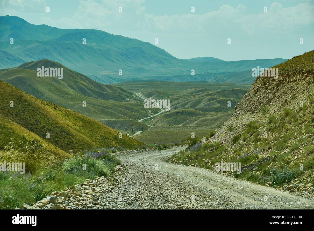 Toguz-Toro pass Bezirk Jalal-Abad Region Kirgisistan Stockfotohttps://www.alamy.de/image-license-details/?v=1https://www.alamy.de/toguz-toro-pass-bezirk-jalal-abad-region-kirgisistan-image565714492.html
RF2RTAEH0–Toguz-Toro pass Bezirk Jalal-Abad Region Kirgisistan
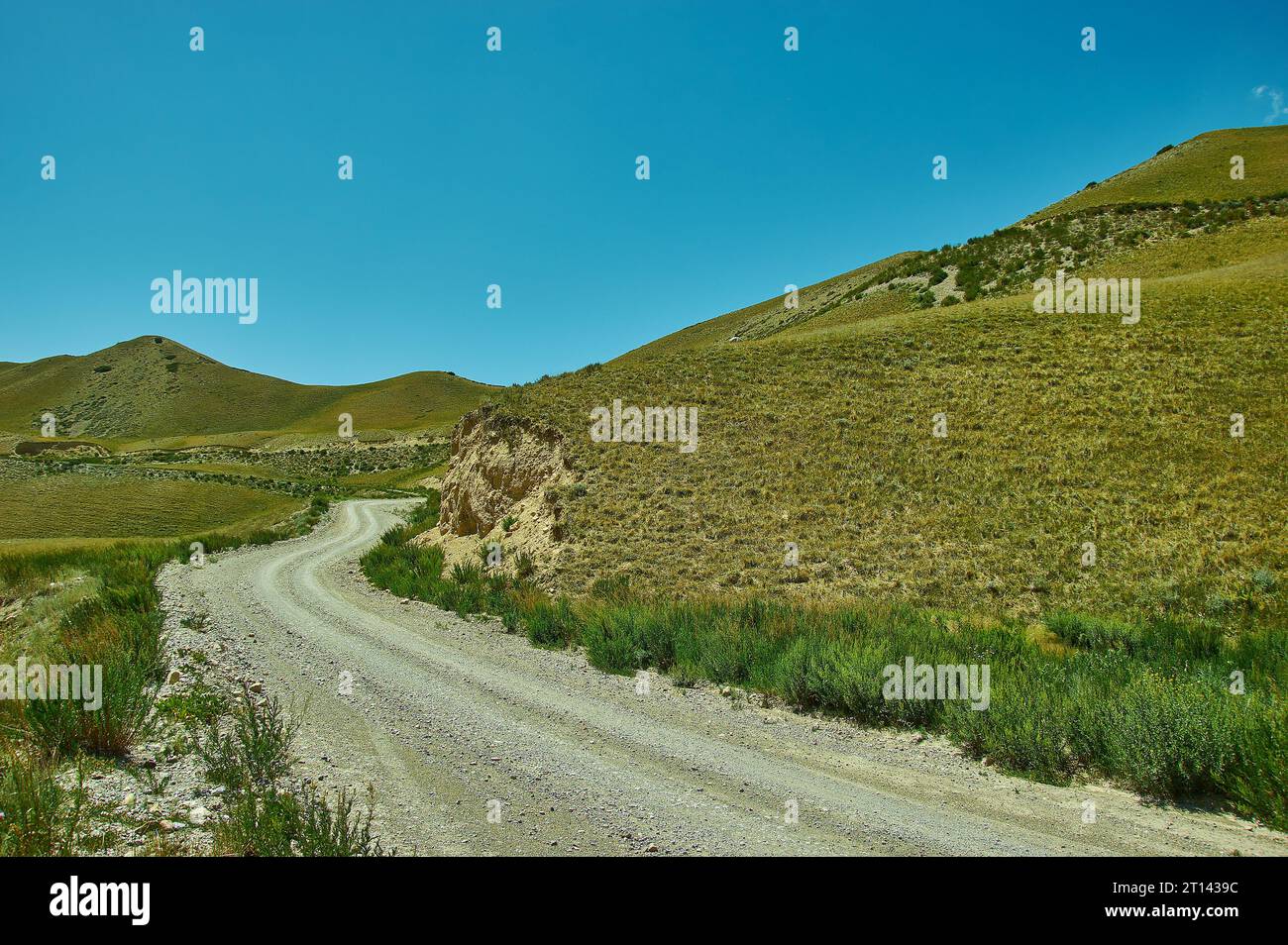 Toguz-Toro pass Bezirk Jalal-Abad Region Kirgisistan Stockfotohttps://www.alamy.de/image-license-details/?v=1https://www.alamy.de/toguz-toro-pass-bezirk-jalal-abad-region-kirgisistan-image568647224.html
RF2T1439C–Toguz-Toro pass Bezirk Jalal-Abad Region Kirgisistan
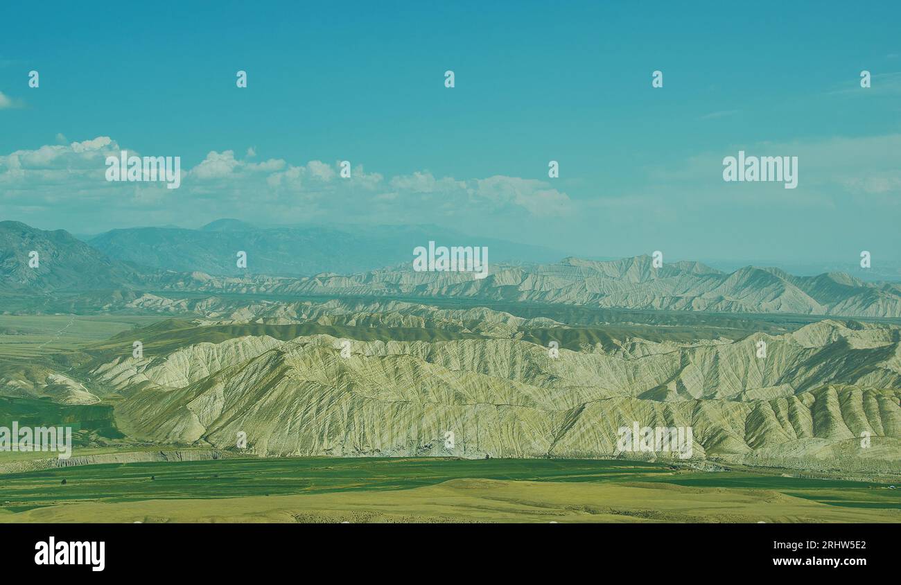 Toguz-Toro pass Bezirk Jalal-Abad Region Kirgisistan Stockfotohttps://www.alamy.de/image-license-details/?v=1https://www.alamy.de/toguz-toro-pass-bezirk-jalal-abad-region-kirgisistan-image561734042.html
RF2RHW5E2–Toguz-Toro pass Bezirk Jalal-Abad Region Kirgisistan
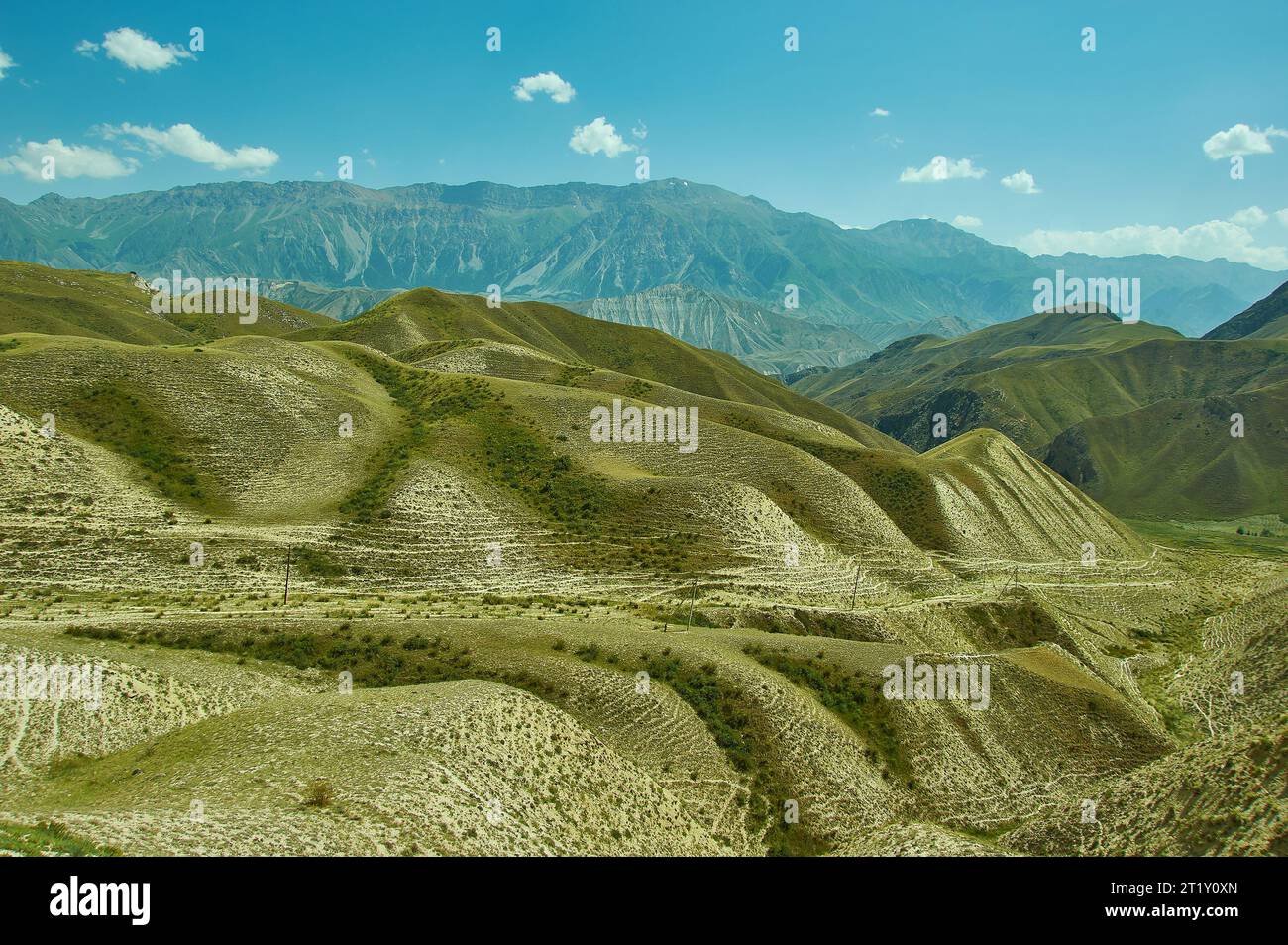 Bergplateau, Straße nach Kasarman, Bezirk der Region Jalal-Abad in Westkirgisistan Stockfotohttps://www.alamy.de/image-license-details/?v=1https://www.alamy.de/bergplateau-strasse-nach-kasarman-bezirk-der-region-jalal-abad-in-westkirgisistan-image569150253.html
RF2T1Y0XN–Bergplateau, Straße nach Kasarman, Bezirk der Region Jalal-Abad in Westkirgisistan
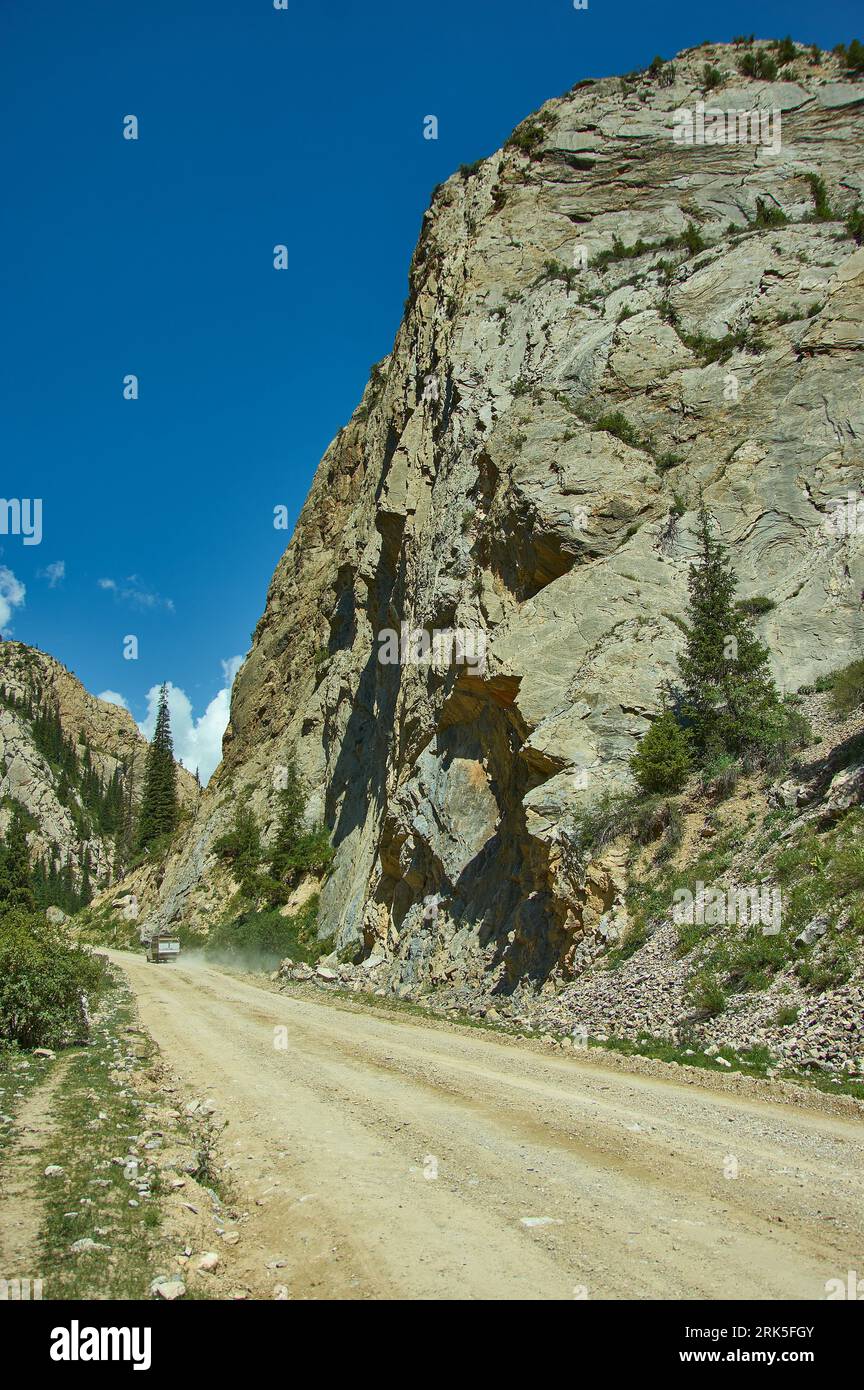 Gorge Moldo-Ashuu Rastplatz, wunderschöne Aussicht auf die Berge, Kirgisistan, Zentralasien Stockfotohttps://www.alamy.de/image-license-details/?v=1https://www.alamy.de/gorge-moldo-ashuu-rastplatz-wunderschone-aussicht-auf-die-berge-kirgisistan-zentralasien-image562532235.html
RF2RK5FGY–Gorge Moldo-Ashuu Rastplatz, wunderschöne Aussicht auf die Berge, Kirgisistan, Zentralasien
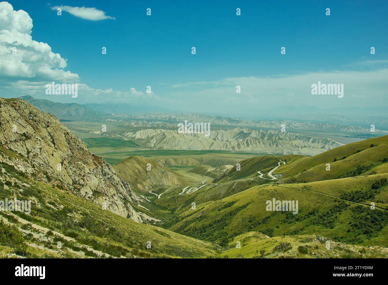 Toguz-Toro pass Bezirk Jalal-Abad Region Kirgisistan Stockfotohttps://www.alamy.de/image-license-details/?v=1https://www.alamy.de/toguz-toro-pass-bezirk-jalal-abad-region-kirgisistan-image569150252.html
RF2T1Y0XM–Toguz-Toro pass Bezirk Jalal-Abad Region Kirgisistan
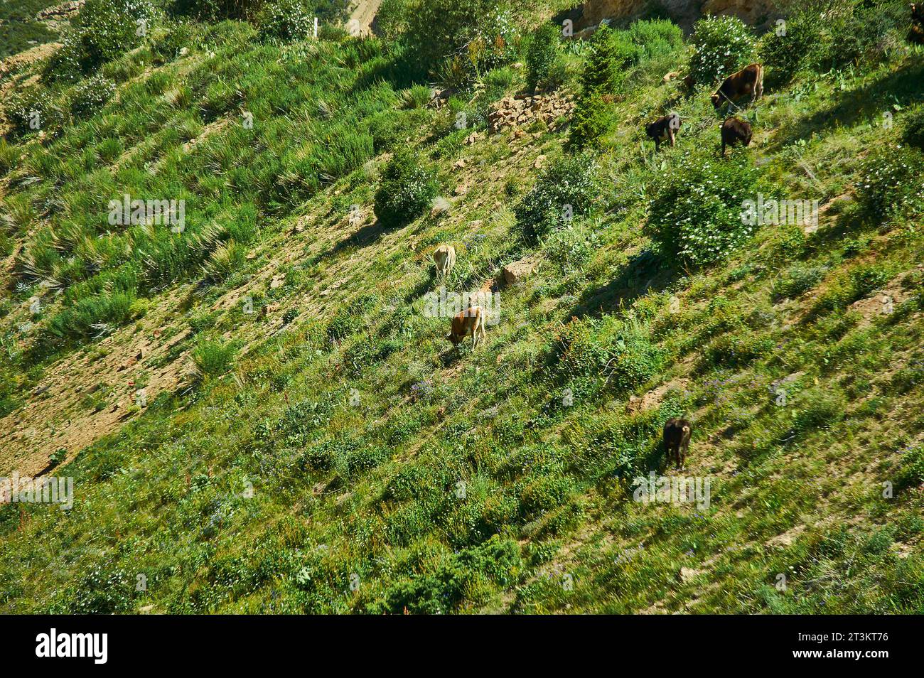 Moldo-Ashuu Pass Bezirk der Region Son-Kul in Westkirgisistan Stockfotohttps://www.alamy.de/image-license-details/?v=1https://www.alamy.de/moldo-ashuu-pass-bezirk-der-region-son-kul-in-westkirgisistan-image570222218.html
RF2T3KT76–Moldo-Ashuu Pass Bezirk der Region Son-Kul in Westkirgisistan
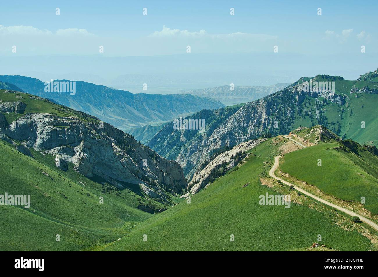 Moldo-Ashuu Pass Bezirk der Region Son-Kul in Westkirgisistan Stockfotohttps://www.alamy.de/image-license-details/?v=1https://www.alamy.de/moldo-ashuu-pass-bezirk-der-region-son-kul-in-westkirgisistan-image568315031.html
RF2T0GYHB–Moldo-Ashuu Pass Bezirk der Region Son-Kul in Westkirgisistan
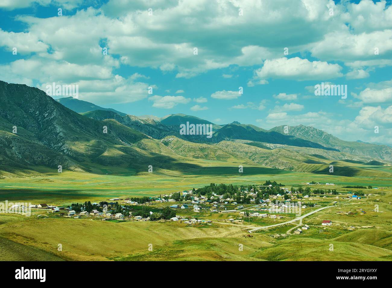 Bergplateau, Straße nach Kasarman, Bezirk der Region Jalal-Abad in Westkirgisistan Stockfotohttps://www.alamy.de/image-license-details/?v=1https://www.alamy.de/bergplateau-strasse-nach-kasarman-bezirk-der-region-jalal-abad-in-westkirgisistan-image567700643.html
RF2RYGYXY–Bergplateau, Straße nach Kasarman, Bezirk der Region Jalal-Abad in Westkirgisistan
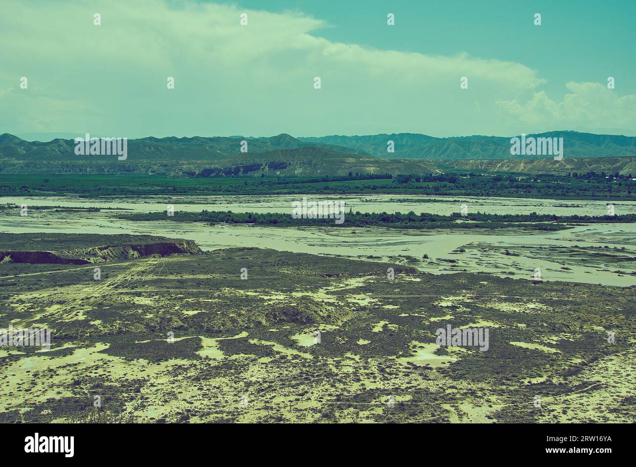 Hochplateau Bezirk Jalal-Abad Region Kirgisistan Stockfotohttps://www.alamy.de/image-license-details/?v=1https://www.alamy.de/hochplateau-bezirk-jalal-abad-region-kirgisistan-image566125598.html
RF2RW16YA–Hochplateau Bezirk Jalal-Abad Region Kirgisistan
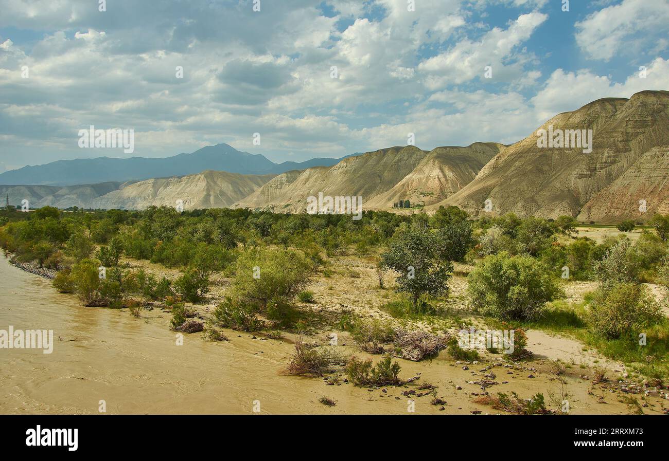 Neue Nord-Süd-Route, Canyon River Naryn, Kirgisistan. Stockfotohttps://www.alamy.de/image-license-details/?v=1https://www.alamy.de/neue-nord-sud-route-canyon-river-naryn-kirgisistan-image565455495.html
RF2RRXM73–Neue Nord-Süd-Route, Canyon River Naryn, Kirgisistan.
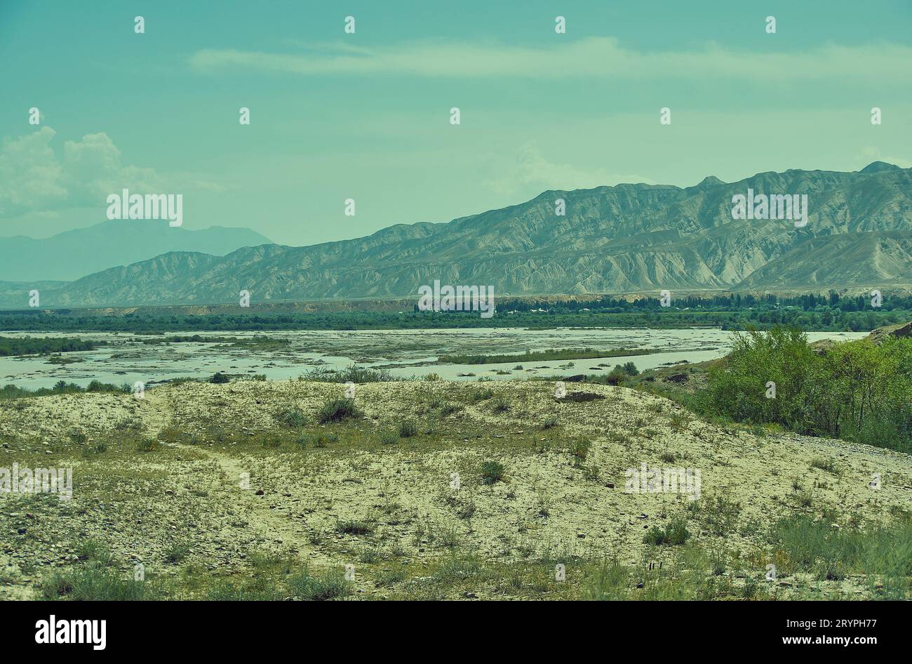 Hochplateau Bezirk Jalal-Abad Region Kirgisistan Stockfotohttps://www.alamy.de/image-license-details/?v=1https://www.alamy.de/hochplateau-bezirk-jalal-abad-region-kirgisistan-image567823963.html
RF2RYPH77–Hochplateau Bezirk Jalal-Abad Region Kirgisistan
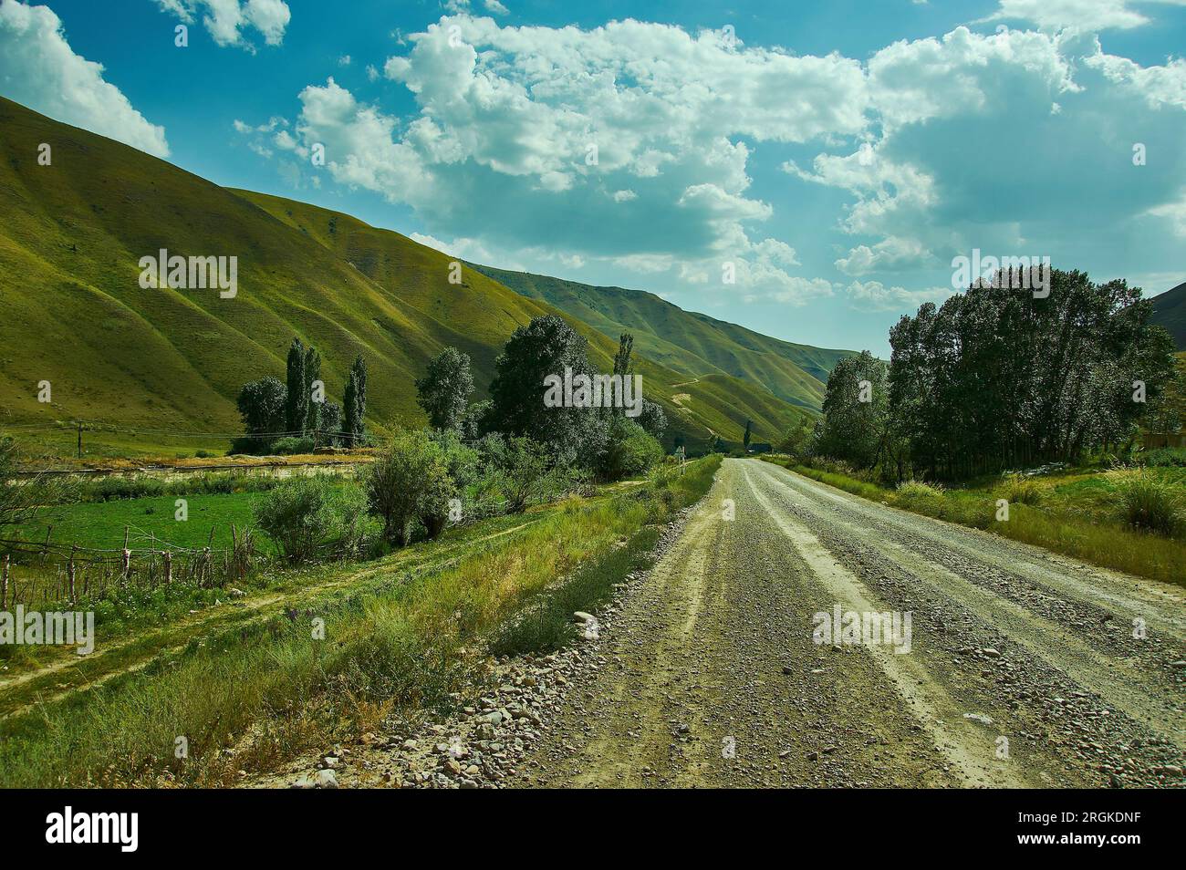 Bergplateau, Straße nach Kasarman, Bezirk der Region Jalal-Abad in Westkirgisistan Stockfotohttps://www.alamy.de/image-license-details/?v=1https://www.alamy.de/bergplateau-strasse-nach-kasarman-bezirk-der-region-jalal-abad-in-westkirgisistan-image560994155.html
RF2RGKDNF–Bergplateau, Straße nach Kasarman, Bezirk der Region Jalal-Abad in Westkirgisistan
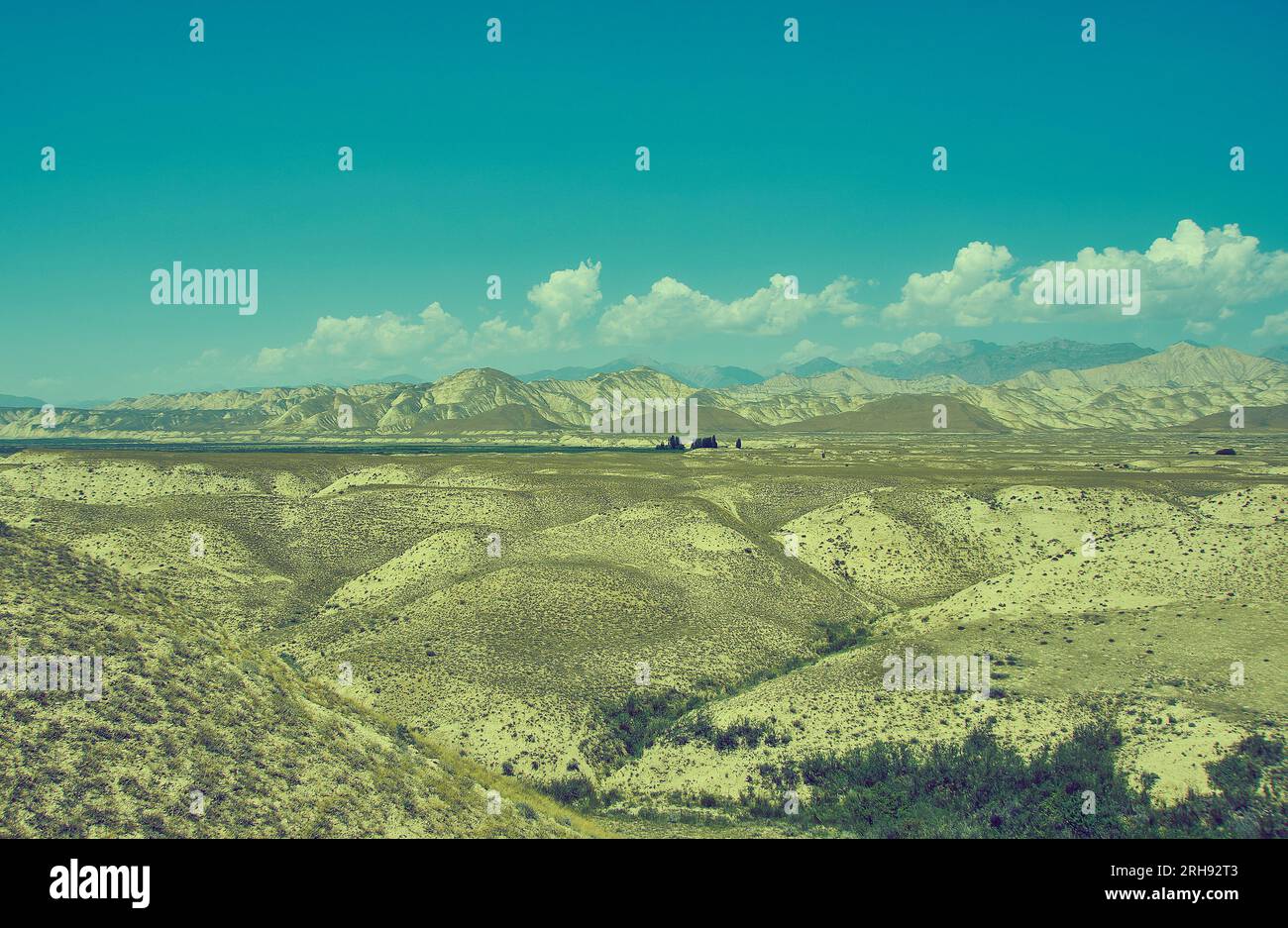 Hochplateau Bezirk Jalal-Abad Region Kirgisistan Stockfotohttps://www.alamy.de/image-license-details/?v=1https://www.alamy.de/hochplateau-bezirk-jalal-abad-region-kirgisistan-image561380739.html
RF2RH92T3–Hochplateau Bezirk Jalal-Abad Region Kirgisistan
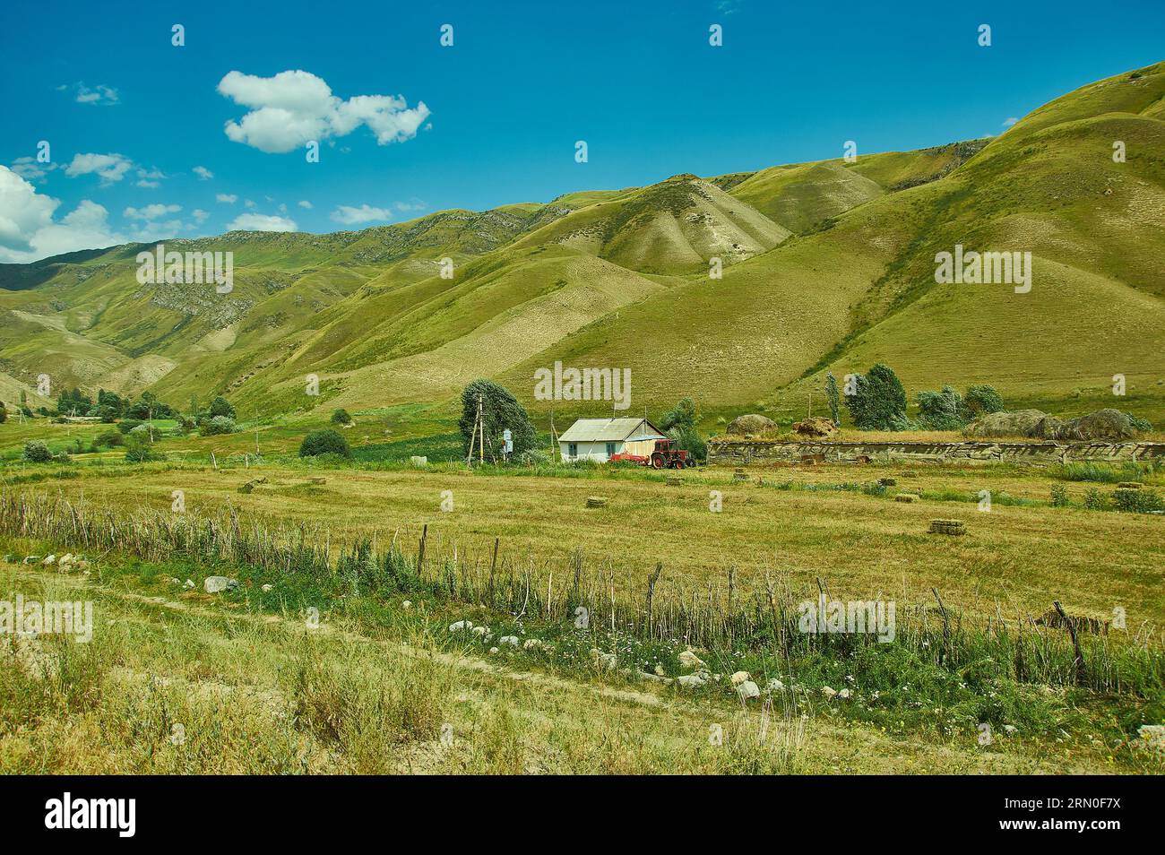 Bergplateau, Straße nach Kasarman, Bezirk der Region Jalal-Abad in Westkirgisistan Stockfotohttps://www.alamy.de/image-license-details/?v=1https://www.alamy.de/bergplateau-strasse-nach-kasarman-bezirk-der-region-jalal-abad-in-westkirgisistan-image563651534.html
RF2RN0F7X–Bergplateau, Straße nach Kasarman, Bezirk der Region Jalal-Abad in Westkirgisistan
 Moldo-Ashuu Pass Bezirk der Region Son-Kul in Westkirgisistan Stockfotohttps://www.alamy.de/image-license-details/?v=1https://www.alamy.de/moldo-ashuu-pass-bezirk-der-region-son-kul-in-westkirgisistan-image560272557.html
RF2RFEHA5–Moldo-Ashuu Pass Bezirk der Region Son-Kul in Westkirgisistan
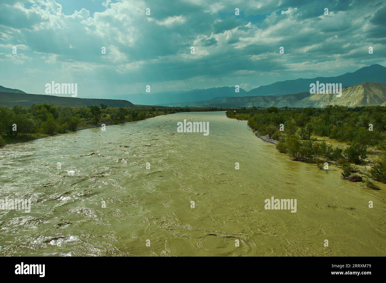 Neue Nord-Süd-Route, Blick auf den Naryn-Fluss, Kirgisistan. Stockfotohttps://www.alamy.de/image-license-details/?v=1https://www.alamy.de/neue-nord-sud-route-blick-auf-den-naryn-fluss-kirgisistan-image565455501.html
RF2RRXM79–Neue Nord-Süd-Route, Blick auf den Naryn-Fluss, Kirgisistan.
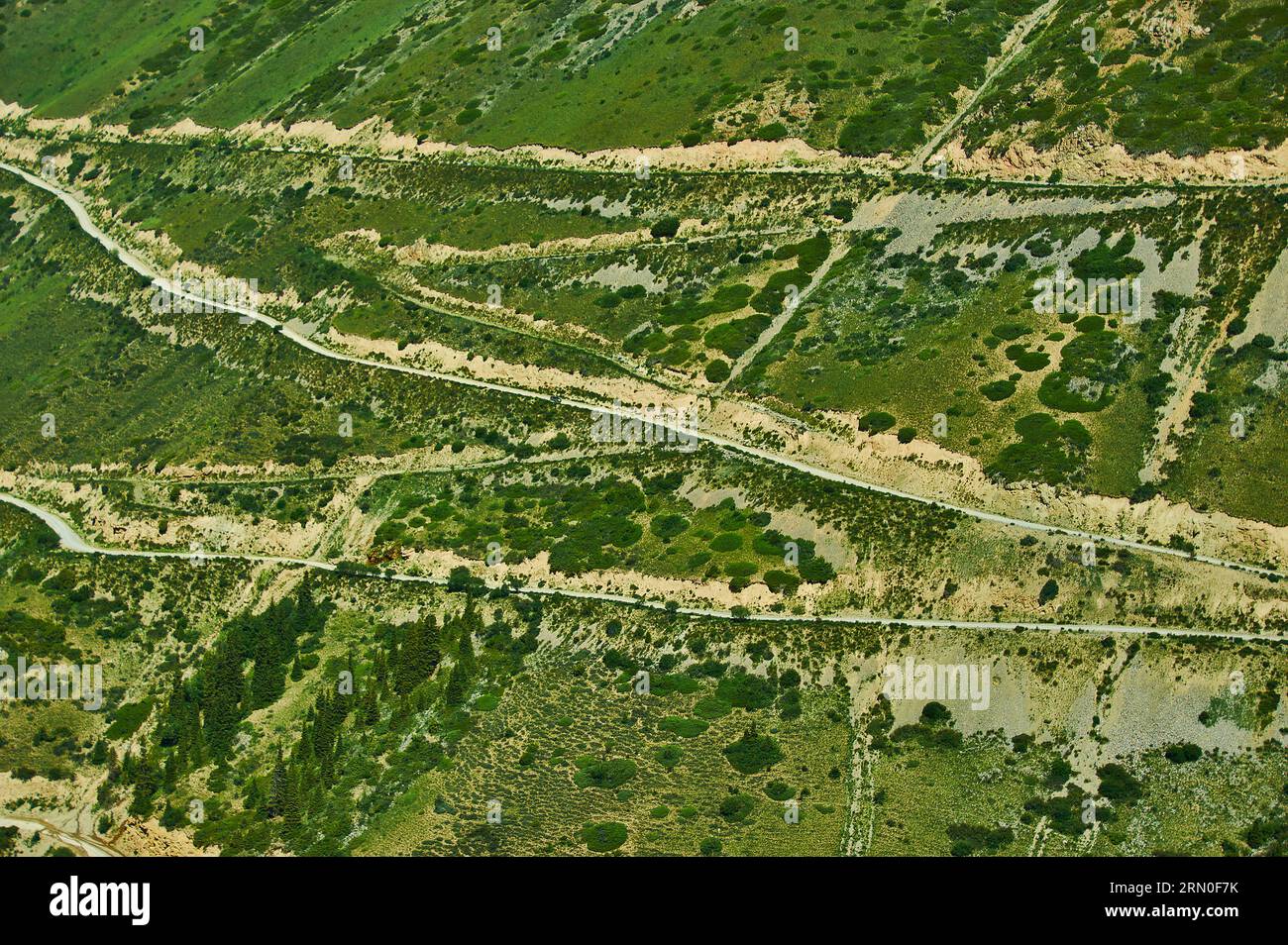 Moldo-Ashuu Pass Bezirk der Region Son-Kul in Westkirgisistan Stockfotohttps://www.alamy.de/image-license-details/?v=1https://www.alamy.de/moldo-ashuu-pass-bezirk-der-region-son-kul-in-westkirgisistan-image563651527.html
RF2RN0F7K–Moldo-Ashuu Pass Bezirk der Region Son-Kul in Westkirgisistan
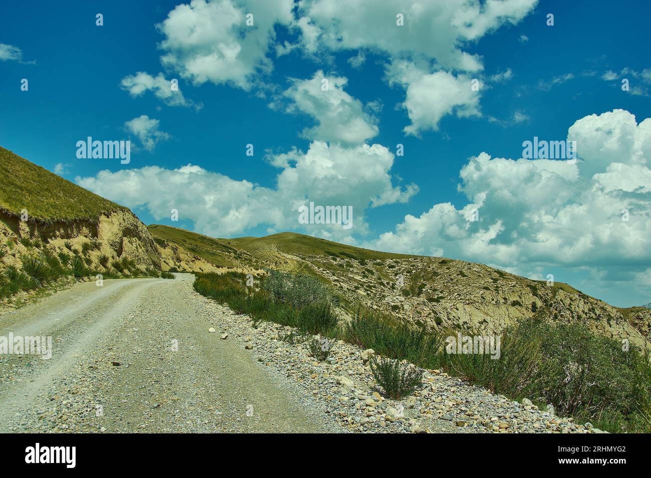 Toguz-Toro pass Bezirk Jalal-Abad Region Kirgisistan Stockfotohttps://www.alamy.de/image-license-details/?v=1https://www.alamy.de/toguz-toro-pass-bezirk-jalal-abad-region-kirgisistan-image561641586.html
RF2RHMYG2–Toguz-Toro pass Bezirk Jalal-Abad Region Kirgisistan
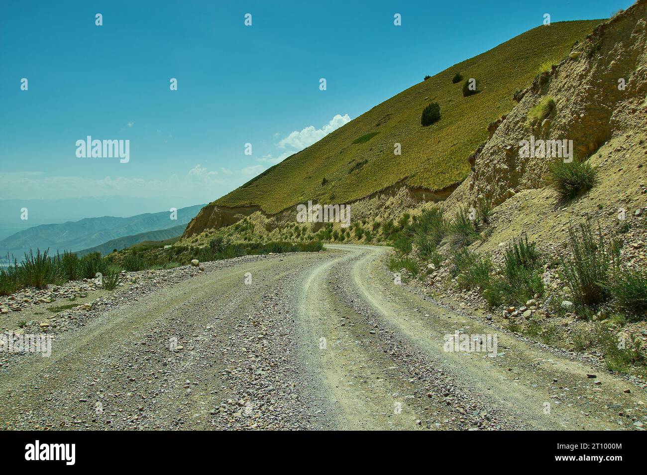 Toguz-Toro pass Bezirk Jalal-Abad Region Kirgisistan Stockfotohttps://www.alamy.de/image-license-details/?v=1https://www.alamy.de/toguz-toro-pass-bezirk-jalal-abad-region-kirgisistan-image568556820.html
RF2T1000M–Toguz-Toro pass Bezirk Jalal-Abad Region Kirgisistan
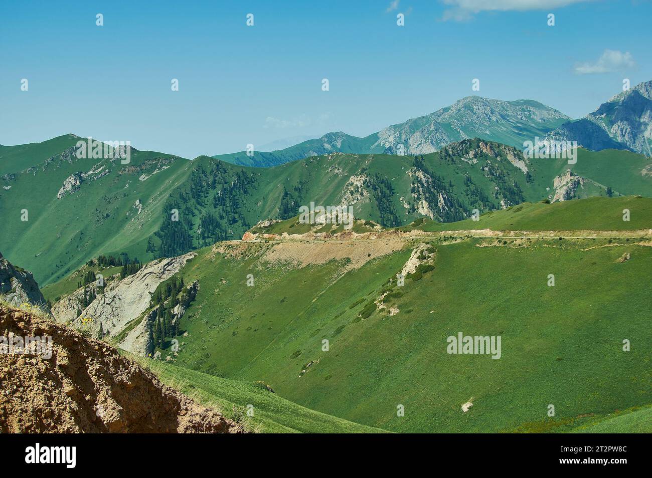 Moldo-Ashuu Pass Bezirk der Region Son-Kul in Westkirgisistan Stockfotohttps://www.alamy.de/image-license-details/?v=1https://www.alamy.de/moldo-ashuu-pass-bezirk-der-region-son-kul-in-westkirgisistan-image569674236.html
RF2T2PW8C–Moldo-Ashuu Pass Bezirk der Region Son-Kul in Westkirgisistan
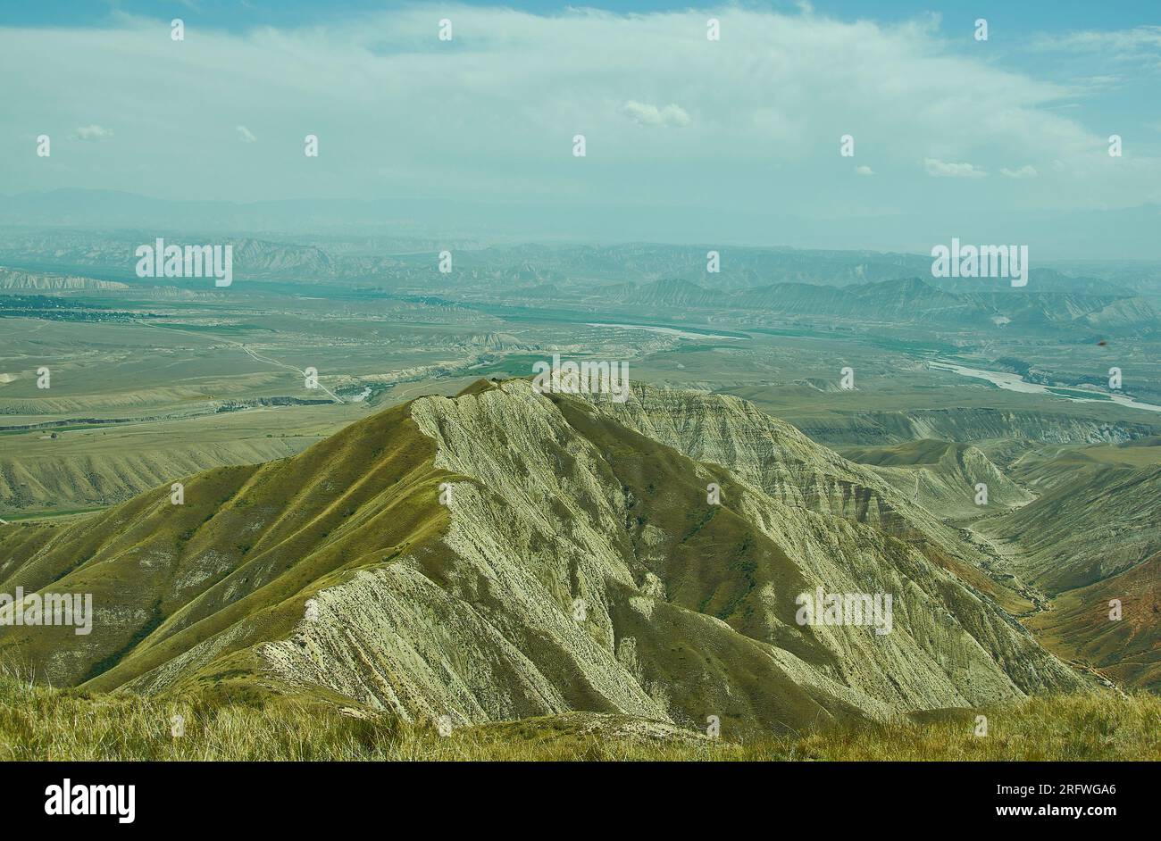 Toguz-Toro pass Bezirk Jalal-Abad Region Kirgisistan Stockfotohttps://www.alamy.de/image-license-details/?v=1https://www.alamy.de/toguz-toro-pass-bezirk-jalal-abad-region-kirgisistan-image560513246.html
RF2RFWGA6–Toguz-Toro pass Bezirk Jalal-Abad Region Kirgisistan
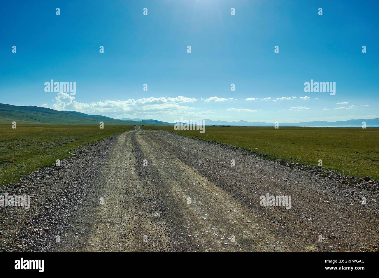 Der Bergsee Son kul in kirgisistan liegt auf einer Höhe von über 3000 Metern Stockfotohttps://www.alamy.de/image-license-details/?v=1https://www.alamy.de/der-bergsee-son-kul-in-kirgisistan-liegt-auf-einer-hohe-von-uber-3000-metern-image560513256.html
RF2RFWGAG–Der Bergsee Son kul in kirgisistan liegt auf einer Höhe von über 3000 Metern
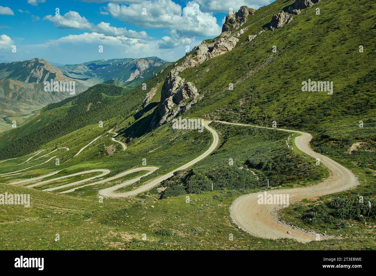 Teskeytorpo Pass , 3133м, Region Kochkor, Kirgisistan Stockfotohttps://www.alamy.de/image-license-details/?v=1https://www.alamy.de/teskeytorpo-pass-3133-region-kochkor-kirgisistan-image570102778.html
RF2T3EBWE–Teskeytorpo Pass , 3133м, Region Kochkor, Kirgisistan
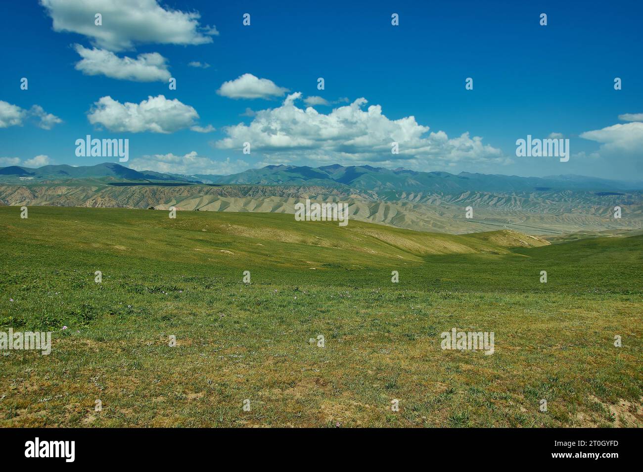 Straße nach Son-Kul See, Teshik Trakt, Kirgisistan, Stockfotohttps://www.alamy.de/image-license-details/?v=1https://www.alamy.de/strasse-nach-son-kul-see-teshik-trakt-kirgisistan-image568314977.html
RF2T0GYFD–Straße nach Son-Kul See, Teshik Trakt, Kirgisistan,
 Teskeytorpo Pass , 3133м, Region Kochkor, Kirgisistan Stockfotohttps://www.alamy.de/image-license-details/?v=1https://www.alamy.de/teskeytorpo-pass-3133-region-kochkor-kirgisistan-image568220715.html
RF2T0CK8Y–Teskeytorpo Pass , 3133м, Region Kochkor, Kirgisistan
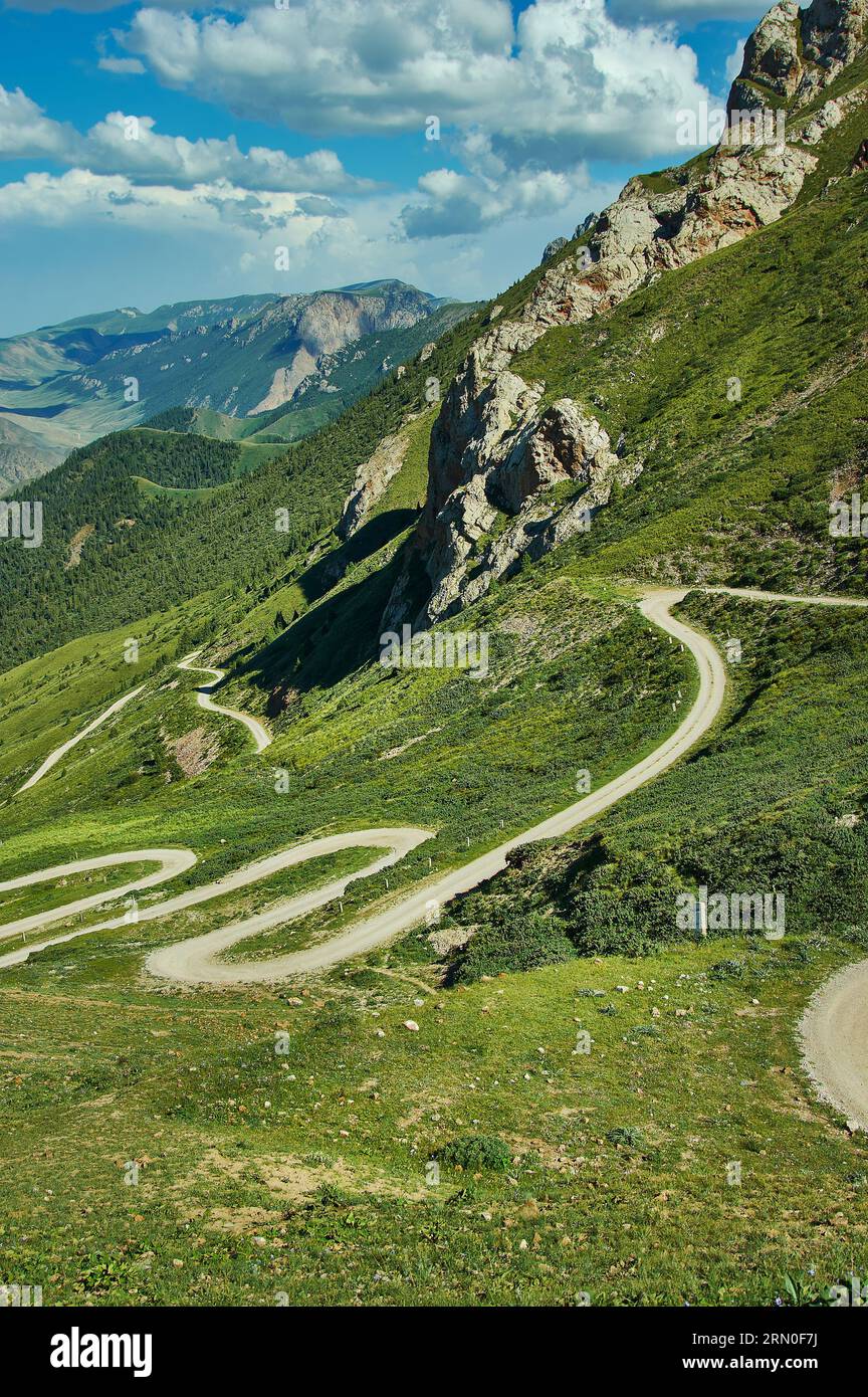 Teskeytorpo Pass , 3133м, Region Kochkor, Kirgisistan Stockfotohttps://www.alamy.de/image-license-details/?v=1https://www.alamy.de/teskeytorpo-pass-3133-region-kochkor-kirgisistan-image563651526.html
RF2RN0F7J–Teskeytorpo Pass , 3133м, Region Kochkor, Kirgisistan
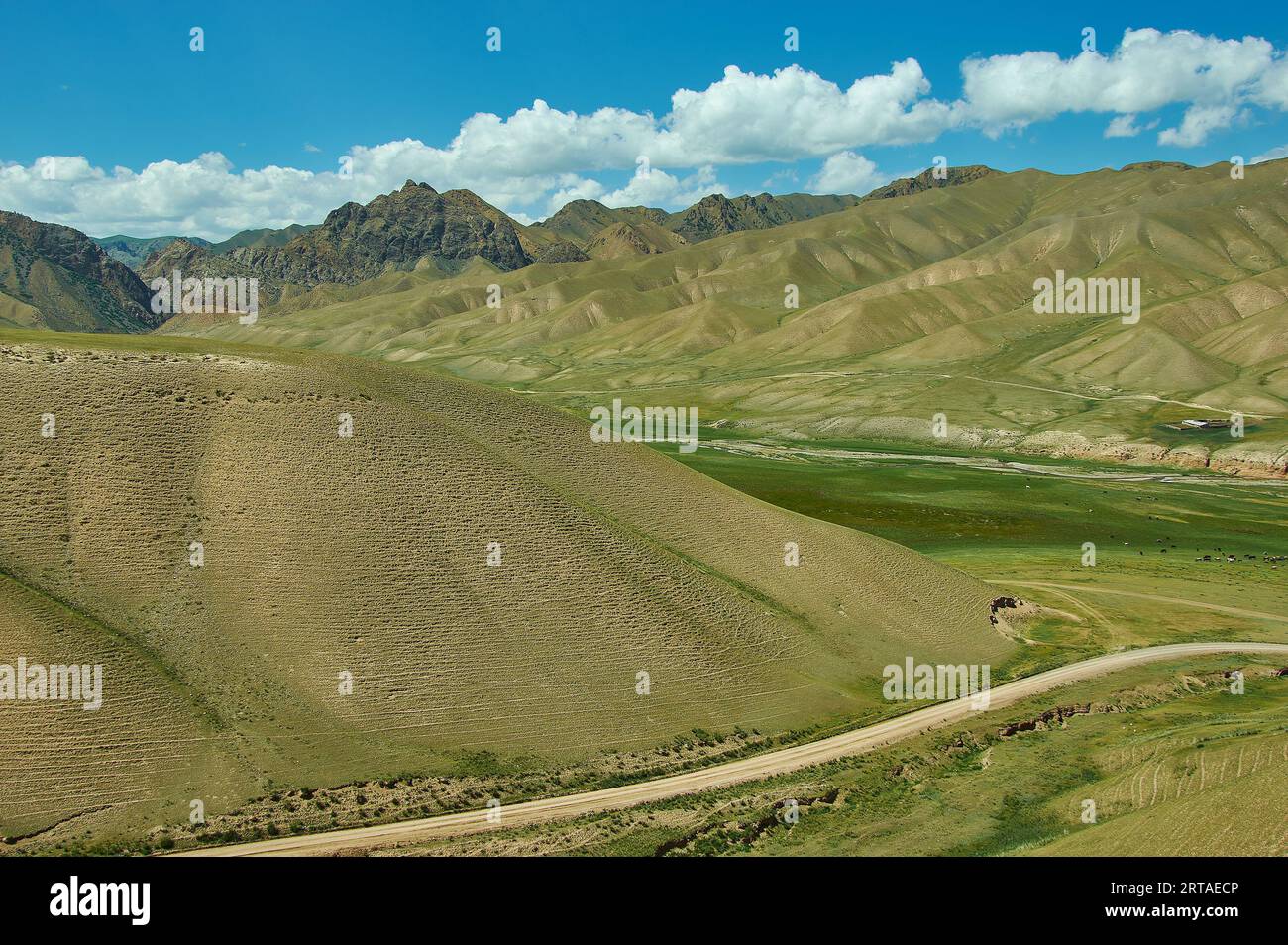 Straße nach Son-Kul See, Teshik Trakt, Kirgisistan, Stockfotohttps://www.alamy.de/image-license-details/?v=1https://www.alamy.de/strasse-nach-son-kul-see-teshik-trakt-kirgisistan-image565714374.html
RF2RTAECP–Straße nach Son-Kul See, Teshik Trakt, Kirgisistan,
 Teskeytorpo Pass , 3133м, Region Kochkor, Kirgisistan Stockfotohttps://www.alamy.de/image-license-details/?v=1https://www.alamy.de/teskeytorpo-pass-3133-region-kochkor-kirgisistan-image564157338.html
RF2RNRGCA–Teskeytorpo Pass , 3133м, Region Kochkor, Kirgisistan
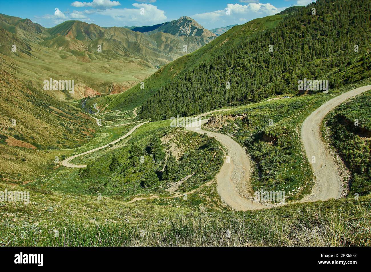 Teskeytorpo Pass , 3133м, Region Kochkor, Kirgisistan Stockfotohttps://www.alamy.de/image-license-details/?v=1https://www.alamy.de/teskeytorpo-pass-3133-region-kochkor-kirgisistan-image566855943.html
RF2RX6EF3–Teskeytorpo Pass , 3133м, Region Kochkor, Kirgisistan
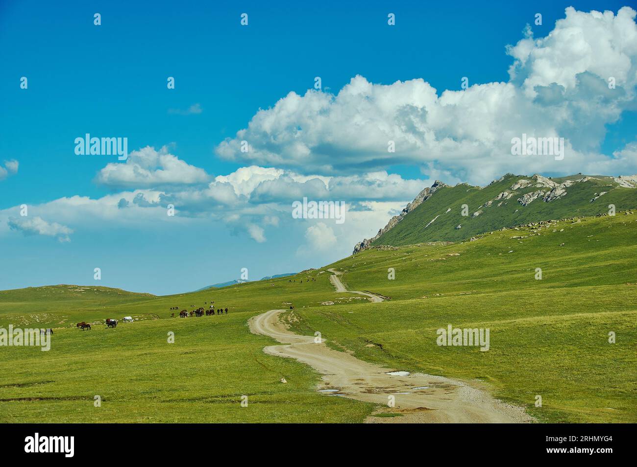 Der Bergsee Son kul in kirgisistan liegt auf einer Höhe von über 3000 Metern Stockfotohttps://www.alamy.de/image-license-details/?v=1https://www.alamy.de/der-bergsee-son-kul-in-kirgisistan-liegt-auf-einer-hohe-von-uber-3000-metern-image561641588.html
RF2RHMYG4–Der Bergsee Son kul in kirgisistan liegt auf einer Höhe von über 3000 Metern
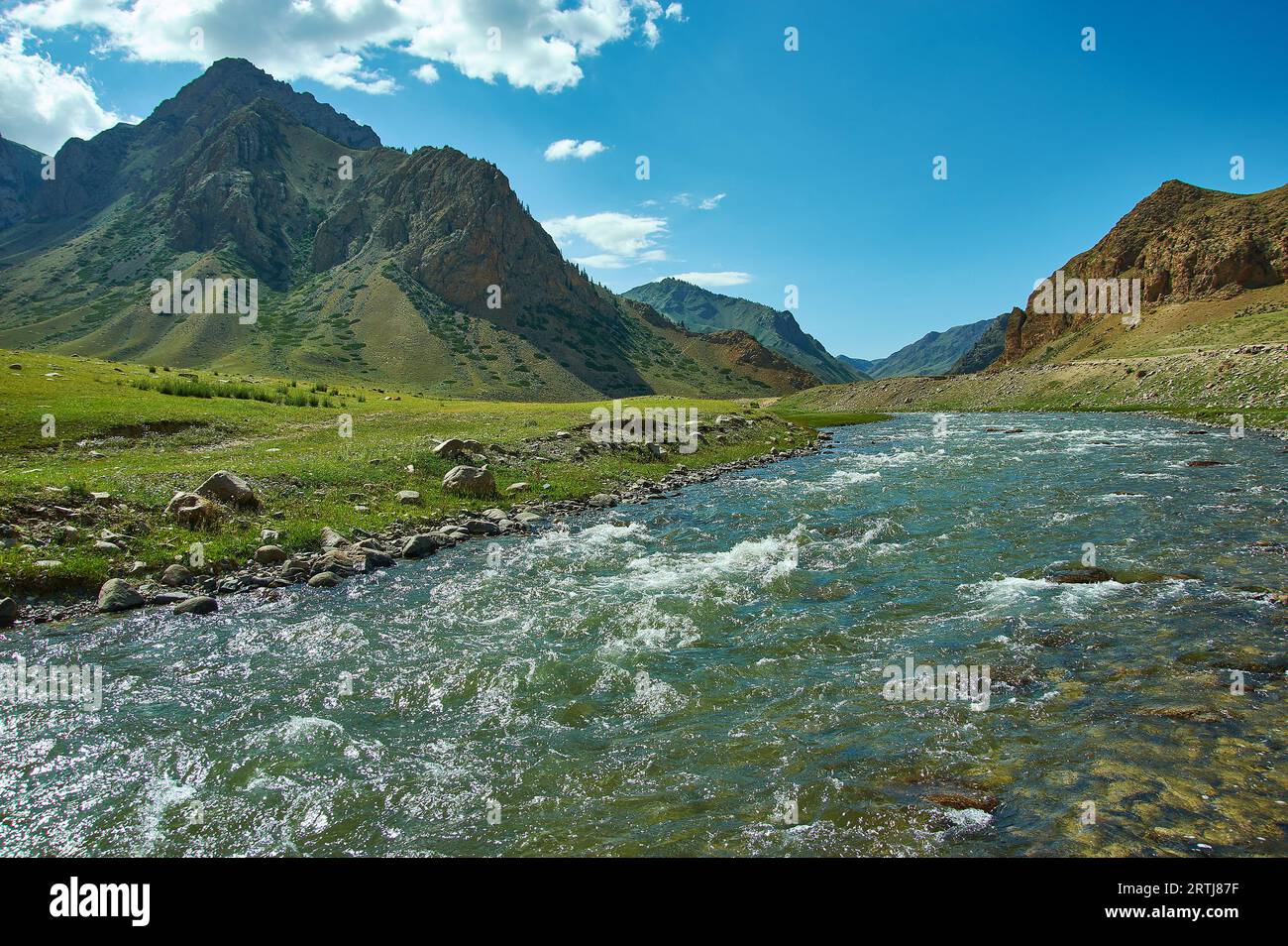 Straße nach Son-Kul See, Teshik Trakt, Kirgisistan, Stockfotohttps://www.alamy.de/image-license-details/?v=1https://www.alamy.de/strasse-nach-son-kul-see-teshik-trakt-kirgisistan-image565885139.html
RF2RTJ87F–Straße nach Son-Kul See, Teshik Trakt, Kirgisistan,
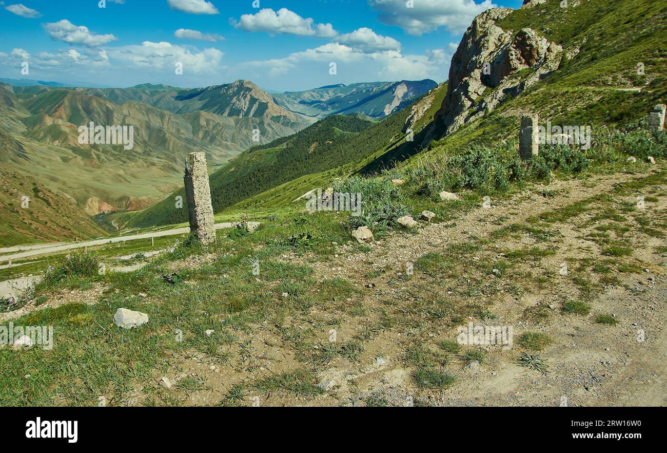 Teskeytorpo Pass , 3133м, Region Kochkor, Kirgisistan Stockfotohttps://www.alamy.de/image-license-details/?v=1https://www.alamy.de/teskeytorpo-pass-3133-region-kochkor-kirgisistan-image566125532.html
RF2RW16W0–Teskeytorpo Pass , 3133м, Region Kochkor, Kirgisistan
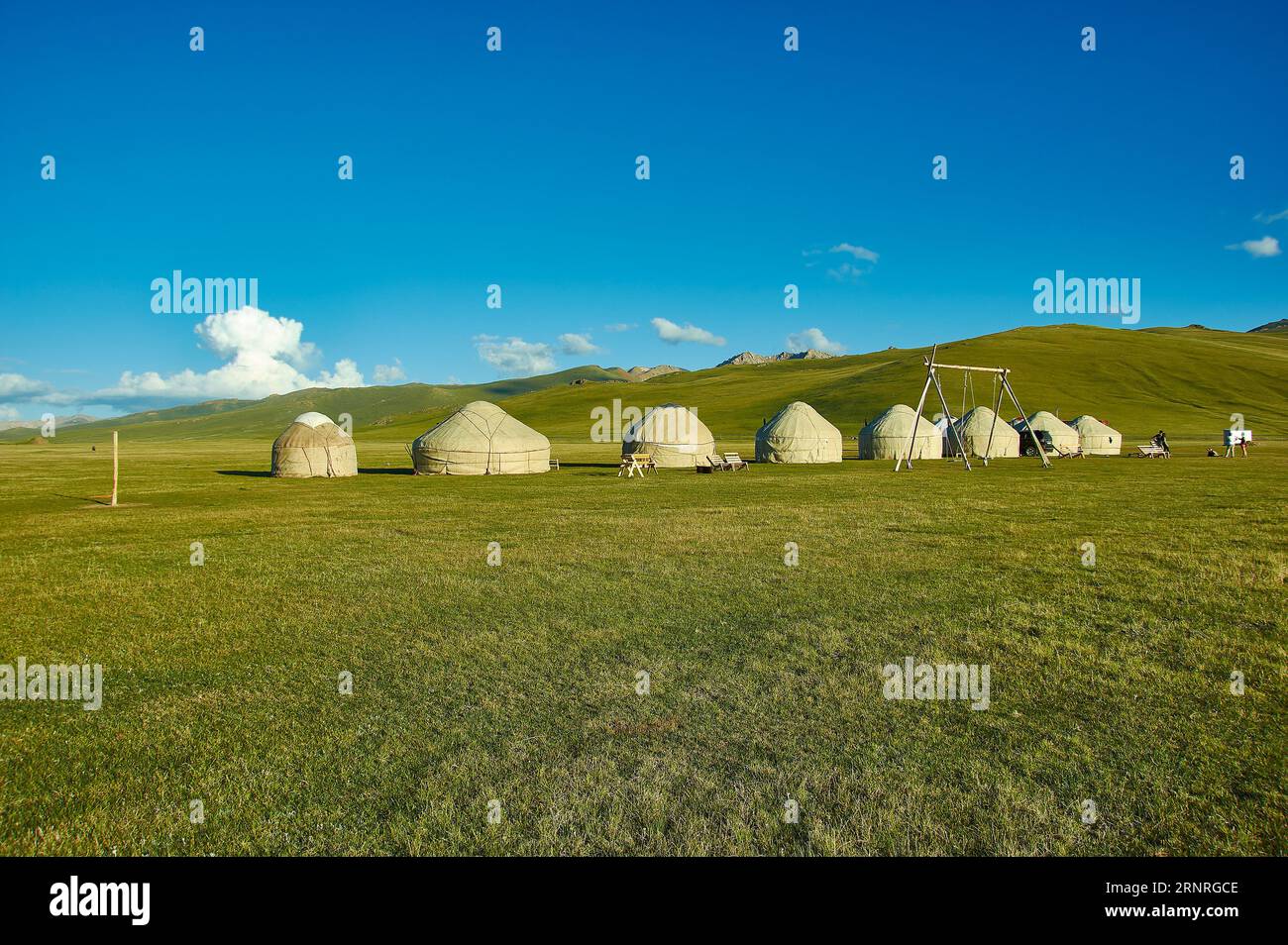 Der Bergsee Son kul in kirgisistan liegt auf einer Höhe von über 3000 Metern Stockfotohttps://www.alamy.de/image-license-details/?v=1https://www.alamy.de/der-bergsee-son-kul-in-kirgisistan-liegt-auf-einer-hohe-von-uber-3000-metern-image564157342.html
RF2RNRGCE–Der Bergsee Son kul in kirgisistan liegt auf einer Höhe von über 3000 Metern
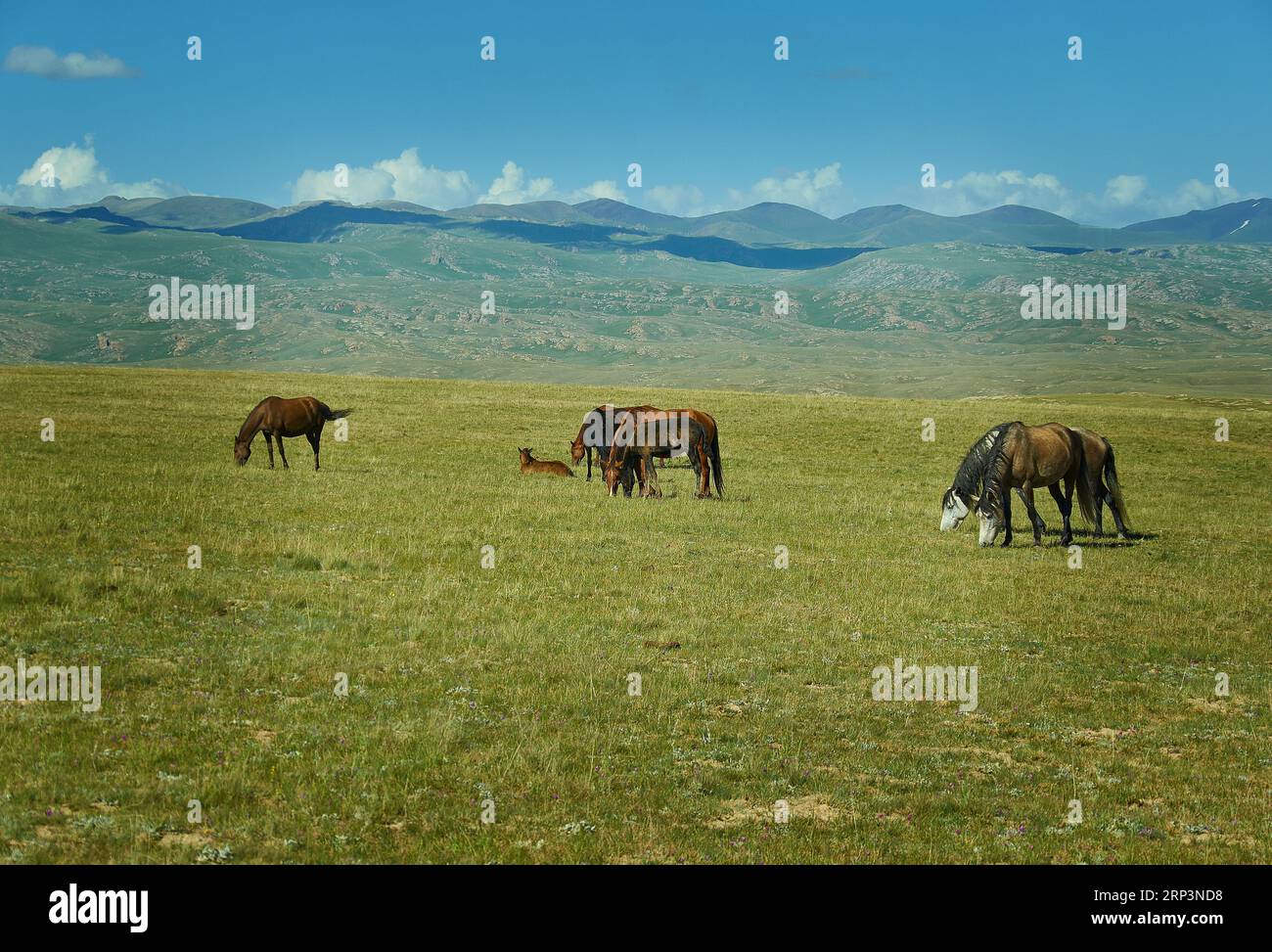 Der Bergsee Son kul in kirgisistan liegt auf einer Höhe von über 3000 Metern Stockfotohttps://www.alamy.de/image-license-details/?v=1https://www.alamy.de/der-bergsee-son-kul-in-kirgisistan-liegt-auf-einer-hohe-von-uber-3000-metern-image564336900.html
RF2RP3ND8–Der Bergsee Son kul in kirgisistan liegt auf einer Höhe von über 3000 Metern
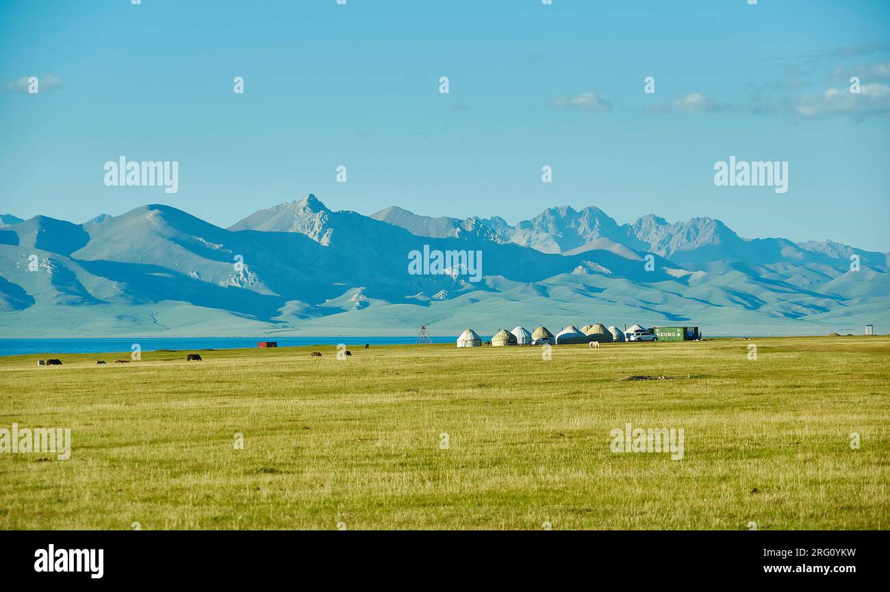 Der Bergsee Son kul in kirgisistan liegt auf einer Höhe von über 3000 Metern Stockfotohttps://www.alamy.de/image-license-details/?v=1https://www.alamy.de/der-bergsee-son-kul-in-kirgisistan-liegt-auf-einer-hohe-von-uber-3000-metern-image560587997.html
RF2RG0YKW–Der Bergsee Son kul in kirgisistan liegt auf einer Höhe von über 3000 Metern
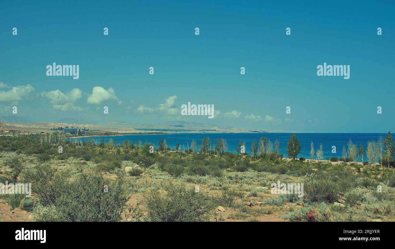 Issyk-Kul-See, Kirgisistan, Zentralasien, befindet sich im Bezirk Kochkor der Provinz Naryn Stockfotohttps://www.alamy.de/image-license-details/?v=1https://www.alamy.de/issyk-kul-see-kirgisistan-zentralasien-befindet-sich-im-bezirk-kochkor-der-provinz-naryn-image562212303.html
RF2RJJYER–Issyk-Kul-See, Kirgisistan, Zentralasien, befindet sich im Bezirk Kochkor der Provinz Naryn
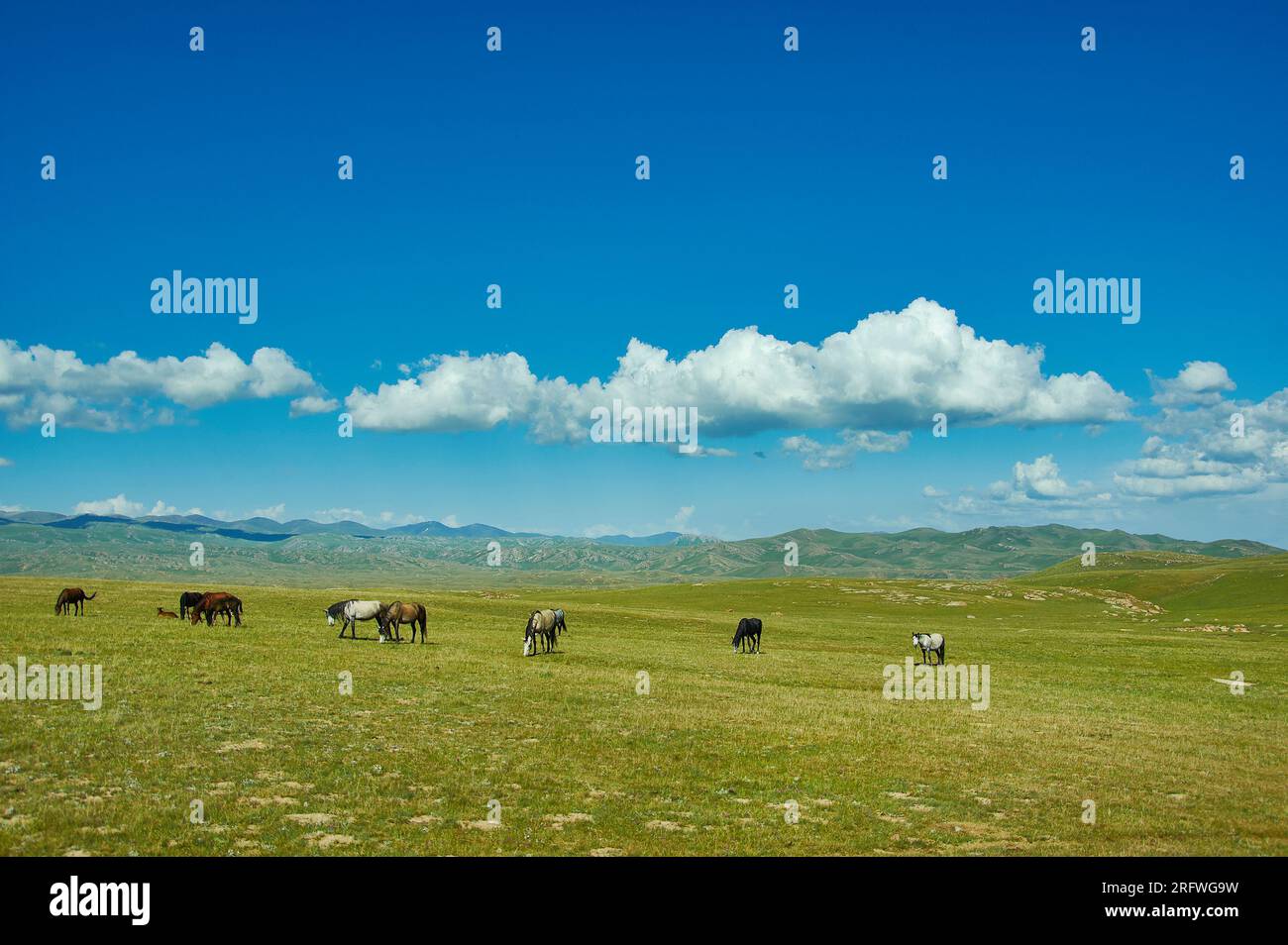 Der Bergsee Son kul in kirgisistan liegt auf einer Höhe von über 3000 Metern Stockfotohttps://www.alamy.de/image-license-details/?v=1https://www.alamy.de/der-bergsee-son-kul-in-kirgisistan-liegt-auf-einer-hohe-von-uber-3000-metern-image560513237.html
RF2RFWG9W–Der Bergsee Son kul in kirgisistan liegt auf einer Höhe von über 3000 Metern
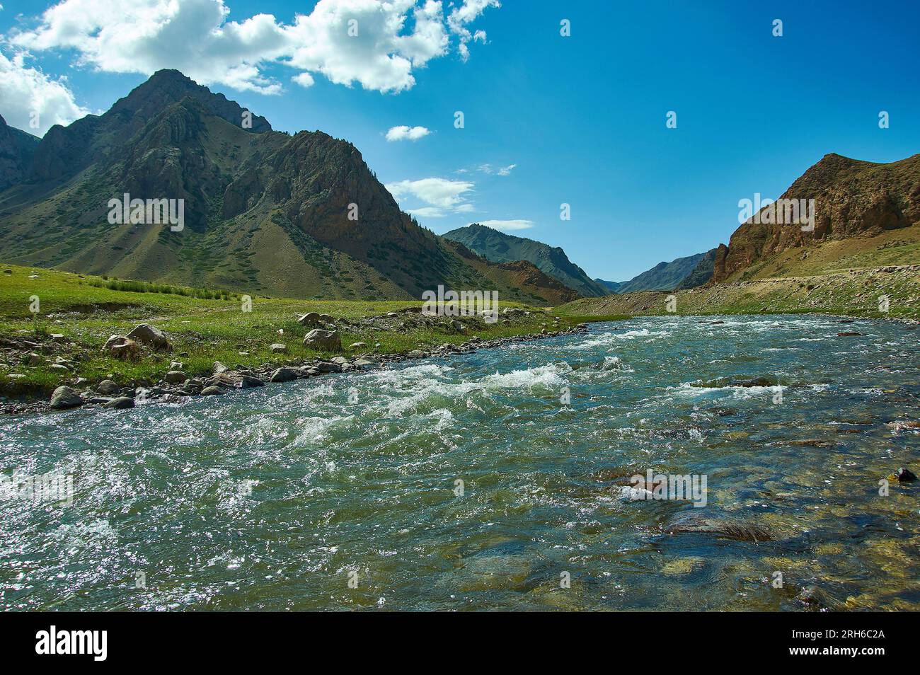 Straße nach Son-Kul See, Teshik Trakt, Kirgisistan, Stockfotohttps://www.alamy.de/image-license-details/?v=1https://www.alamy.de/strasse-nach-son-kul-see-teshik-trakt-kirgisistan-image561322114.html
RF2RH6C2A–Straße nach Son-Kul See, Teshik Trakt, Kirgisistan,
 Märchen Canyon, Felsformationen auf der Issyk-Kul See. Kirgistan Zentrales Asien Stockfotohttps://www.alamy.de/image-license-details/?v=1https://www.alamy.de/marchen-canyon-felsformationen-auf-der-issyk-kul-see-kirgistan-zentrales-asien-image566935454.html
RF2RXA3XP–Märchen Canyon, Felsformationen auf der Issyk-Kul See. Kirgistan Zentrales Asien
 Märchen Canyon, Felsformationen auf der Issyk-Kul See. Kirgistan Zentrales Asien Stockfotohttps://www.alamy.de/image-license-details/?v=1https://www.alamy.de/marchen-canyon-felsformationen-auf-der-issyk-kul-see-kirgistan-zentrales-asien-image562212299.html
RF2RJJYEK–Märchen Canyon, Felsformationen auf der Issyk-Kul See. Kirgistan Zentrales Asien
 Märchen Canyon, Felsformationen auf der Issyk-Kul See. Kirgistan Zentrales Asien Stockfotohttps://www.alamy.de/image-license-details/?v=1https://www.alamy.de/marchen-canyon-felsformationen-auf-der-issyk-kul-see-kirgistan-zentrales-asien-image566935457.html
RF2RXA3XW–Märchen Canyon, Felsformationen auf der Issyk-Kul See. Kirgistan Zentrales Asien
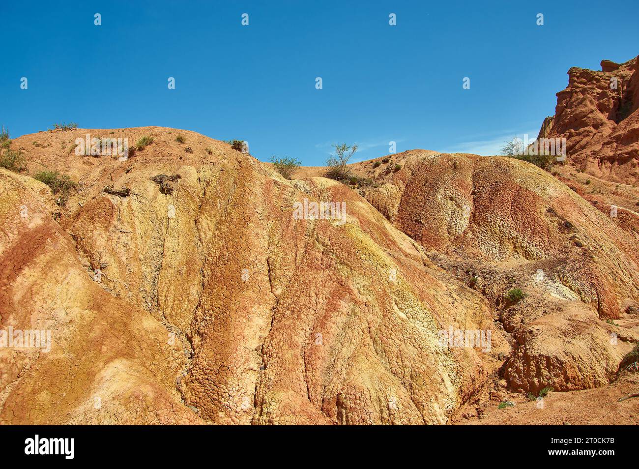 Märchen Canyon, Felsformationen auf der Issyk-Kul See. Kirgistan Zentrales Asien Stockfotohttps://www.alamy.de/image-license-details/?v=1https://www.alamy.de/marchen-canyon-felsformationen-auf-der-issyk-kul-see-kirgistan-zentrales-asien-image568220671.html
RF2T0CK7B–Märchen Canyon, Felsformationen auf der Issyk-Kul See. Kirgistan Zentrales Asien
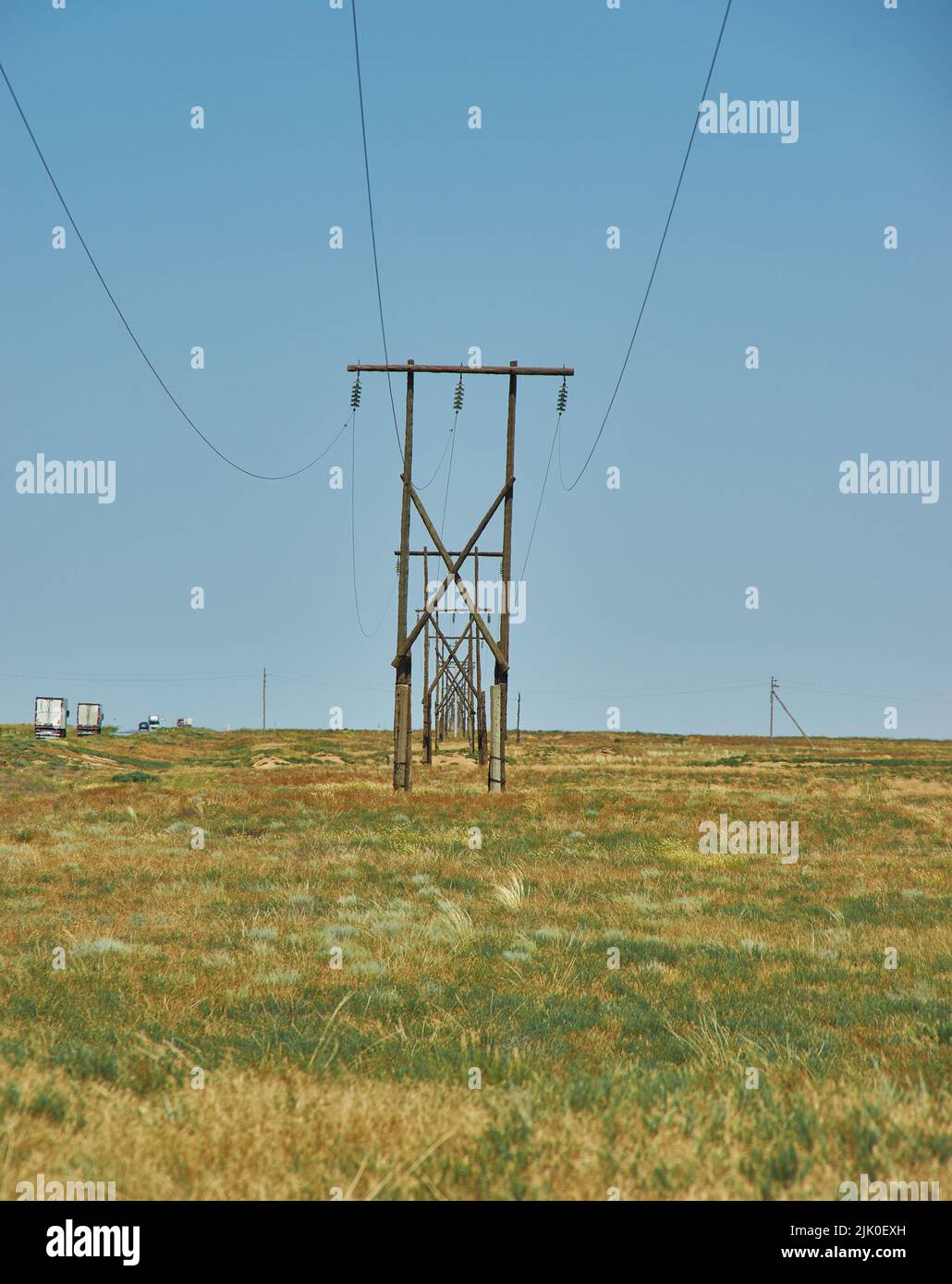 Oberleitung in der Wüstenrepublik Kalmückien, Russland Stockfotohttps://www.alamy.de/image-license-details/?v=1https://www.alamy.de/oberleitung-in-der-wustenrepublik-kalmuckien-russland-image476370121.html
RF2JK0EXH–Oberleitung in der Wüstenrepublik Kalmückien, Russland
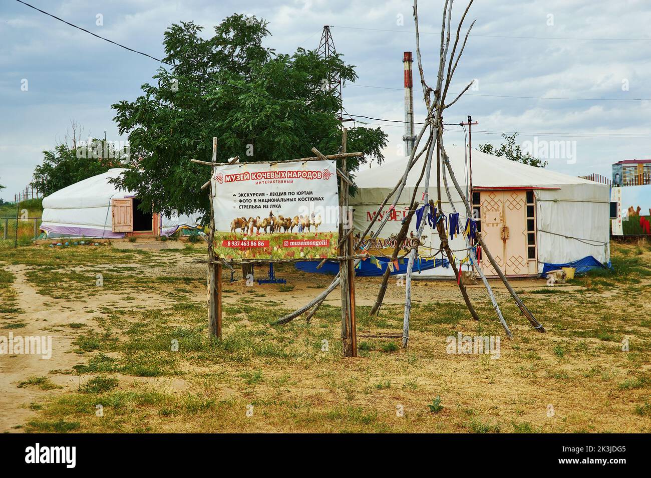 Museum der nomadischen Völker. Zwei mongolische Jurten 21. Juni 2022. Elista, Russland Stockfotohttps://www.alamy.de/image-license-details/?v=1https://www.alamy.de/museum-der-nomadischen-volker-zwei-mongolische-jurten-21-juni-2022-elista-russland-image484140053.html
RF2K3JDG5–Museum der nomadischen Völker. Zwei mongolische Jurten 21. Juni 2022. Elista, Russland
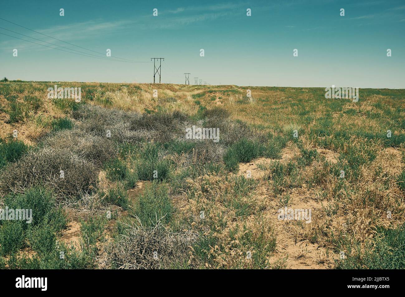 Menschenleere Gegend der Steppe. Republik Kalmückien, Russland Stockfotohttps://www.alamy.de/image-license-details/?v=1https://www.alamy.de/menschenleere-gegend-der-steppe-republik-kalmuckien-russland-image476004765.html
RF2JJBTX5–Menschenleere Gegend der Steppe. Republik Kalmückien, Russland
 Museum der nomadischen Völker. Zwei mongolische Jurten 21. Juni 2022. Elista, Russland Stockfotohttps://www.alamy.de/image-license-details/?v=1https://www.alamy.de/museum-der-nomadischen-volker-zwei-mongolische-jurten-21-juni-2022-elista-russland-image484140060.html
RF2K3JDGC–Museum der nomadischen Völker. Zwei mongolische Jurten 21. Juni 2022. Elista, Russland
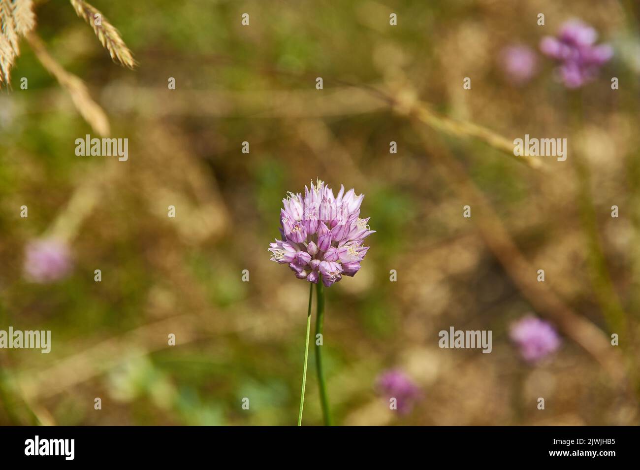 Schnittlauch - Arten der blühenden Pflanze in der Familie Amaryllidacea Stockfotohttps://www.alamy.de/image-license-details/?v=1https://www.alamy.de/schnittlauch-arten-der-bluhenden-pflanze-in-der-familie-amaryllidacea-image480455113.html
RF2JWJHB5–Schnittlauch - Arten der blühenden Pflanze in der Familie Amaryllidacea
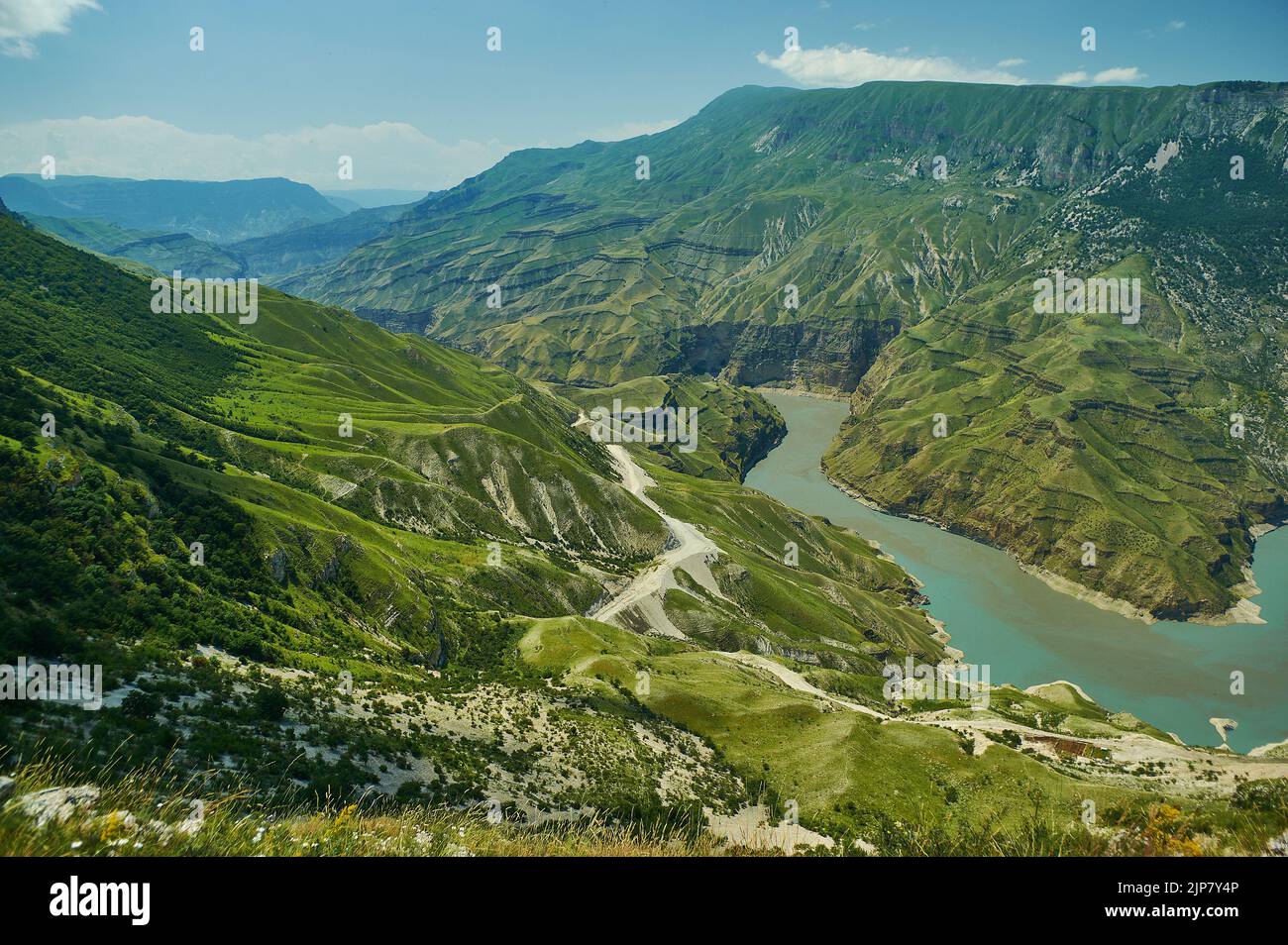 Sulak Canyon, der steilste Canyon Europas, der vom Sulak-Fluss in Dagestan, Russland, geformt wurde. Stockfotohttps://www.alamy.de/image-license-details/?v=1https://www.alamy.de/sulak-canyon-der-steilste-canyon-europas-der-vom-sulak-fluss-in-dagestan-russland-geformt-wurde-image478377334.html
RF2JP7Y4P–Sulak Canyon, der steilste Canyon Europas, der vom Sulak-Fluss in Dagestan, Russland, geformt wurde.
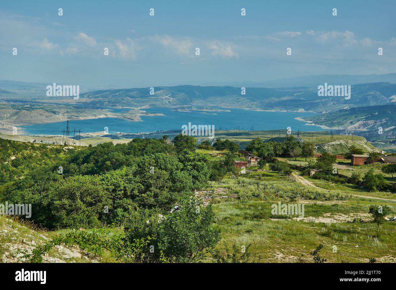 Chirkey Stausee Dagestan, Berglandschaft mit Feldweg in der Nähe des Stausees Stockfotohttps://www.alamy.de/image-license-details/?v=1https://www.alamy.de/chirkey-stausee-dagestan-berglandschaft-mit-feldweg-in-der-nahe-des-stausees-image475784708.html
RF2JJ1T70–Chirkey Stausee Dagestan, Berglandschaft mit Feldweg in der Nähe des Stausees
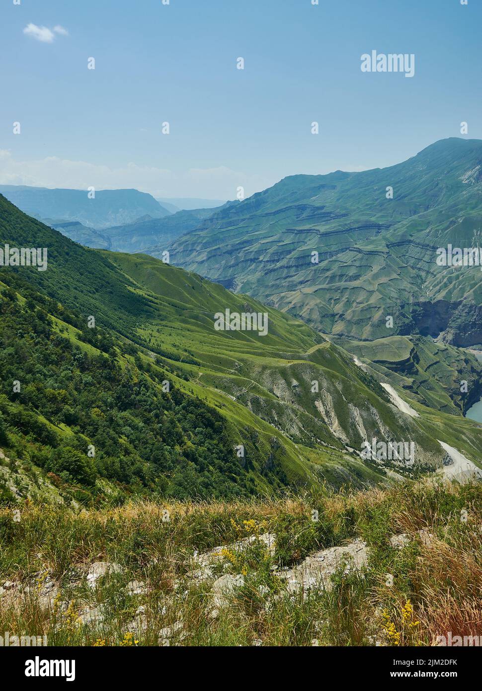 Sulak Canyon, der steilste Canyon Europas, der vom Sulak-Fluss in Dagestan, Russland, geformt wurde. Stockfotohttps://www.alamy.de/image-license-details/?v=1https://www.alamy.de/sulak-canyon-der-steilste-canyon-europas-der-vom-sulak-fluss-in-dagestan-russland-geformt-wurde-image477027591.html
RF2JM2DFK–Sulak Canyon, der steilste Canyon Europas, der vom Sulak-Fluss in Dagestan, Russland, geformt wurde.
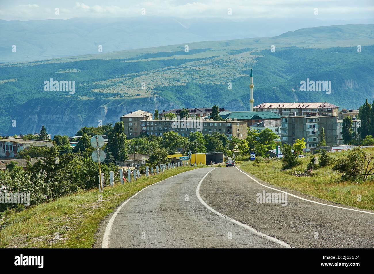 Chirkey Stausee Dagestan, Stadt der Dubki Berglandschaft mit Feldweg in der Nähe des Stausees Stockfotohttps://www.alamy.de/image-license-details/?v=1https://www.alamy.de/chirkey-stausee-dagestan-stadt-der-dubki-berglandschaft-mit-feldweg-in-der-nahe-des-stausees-image474593200.html
RF2JG3GD4–Chirkey Stausee Dagestan, Stadt der Dubki Berglandschaft mit Feldweg in der Nähe des Stausees
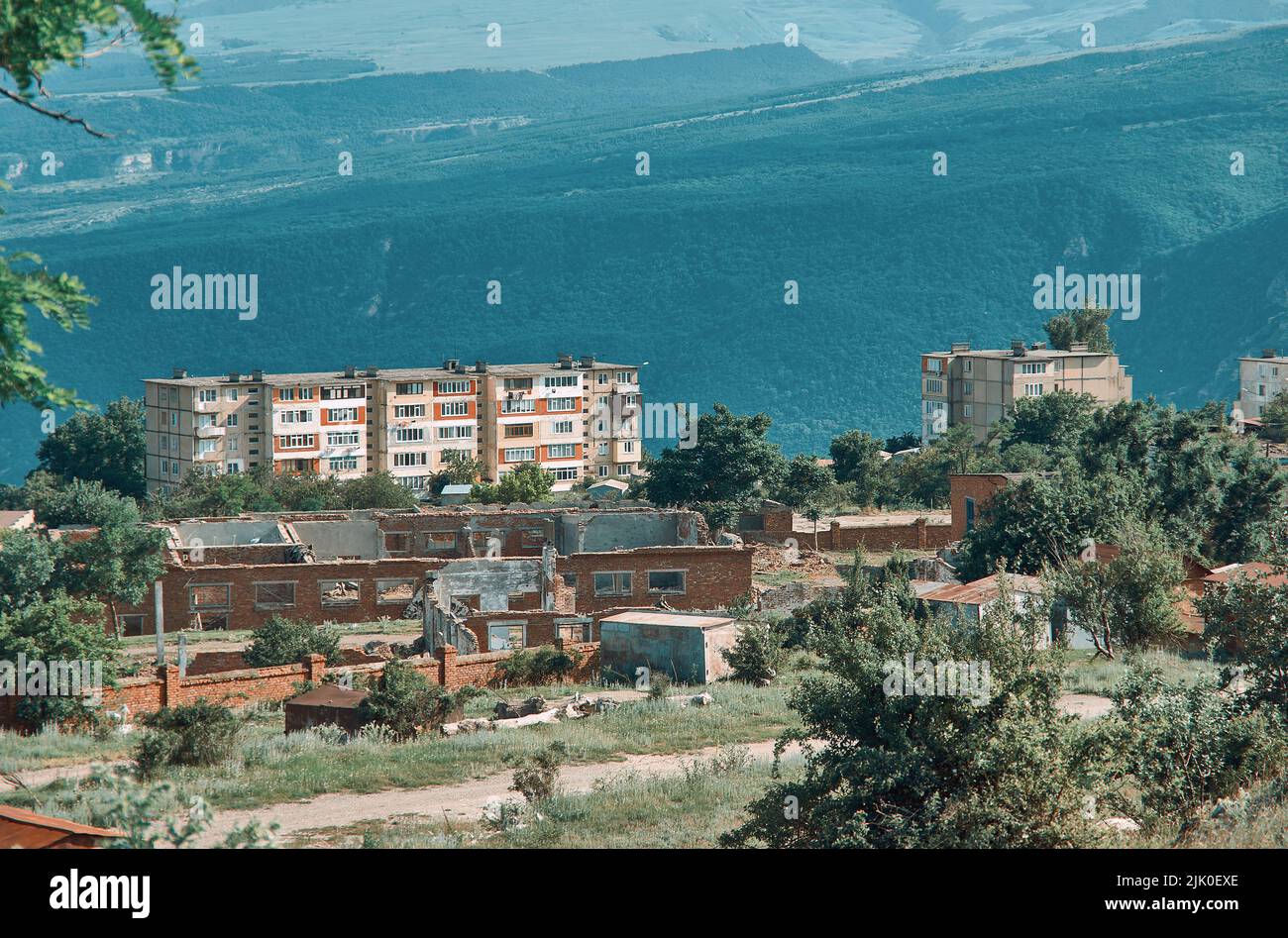 Chirkey Stausee Dagestan, Stadt der Dubki Berglandschaft mit Feldweg in der Nähe des Stausees Stockfotohttps://www.alamy.de/image-license-details/?v=1https://www.alamy.de/chirkey-stausee-dagestan-stadt-der-dubki-berglandschaft-mit-feldweg-in-der-nahe-des-stausees-image476370118.html
RF2JK0EXE–Chirkey Stausee Dagestan, Stadt der Dubki Berglandschaft mit Feldweg in der Nähe des Stausees
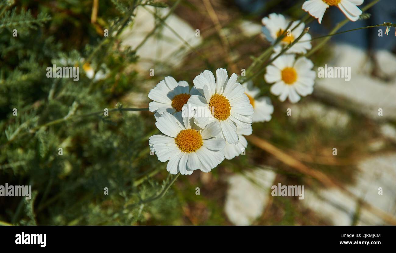 Leucаnthemum kurilensе - Gattung der blühenden Pflanzen in der Aster-Familie, Asteraceae. Sie ist hauptsächlich in Süd- und Mitteleuropa verbreitet Stockfotohttps://www.alamy.de/image-license-details/?v=1https://www.alamy.de/leucnthemum-kurilens-gattung-der-bluhenden-pflanzen-in-der-aster-familie-asteraceae-sie-ist-hauptsachlich-in-sud-und-mitteleuropa-verbreitet-image479270532.html
RF2JRMJCM–Leucаnthemum kurilensе - Gattung der blühenden Pflanzen in der Aster-Familie, Asteraceae. Sie ist hauptsächlich in Süd- und Mitteleuropa verbreitet
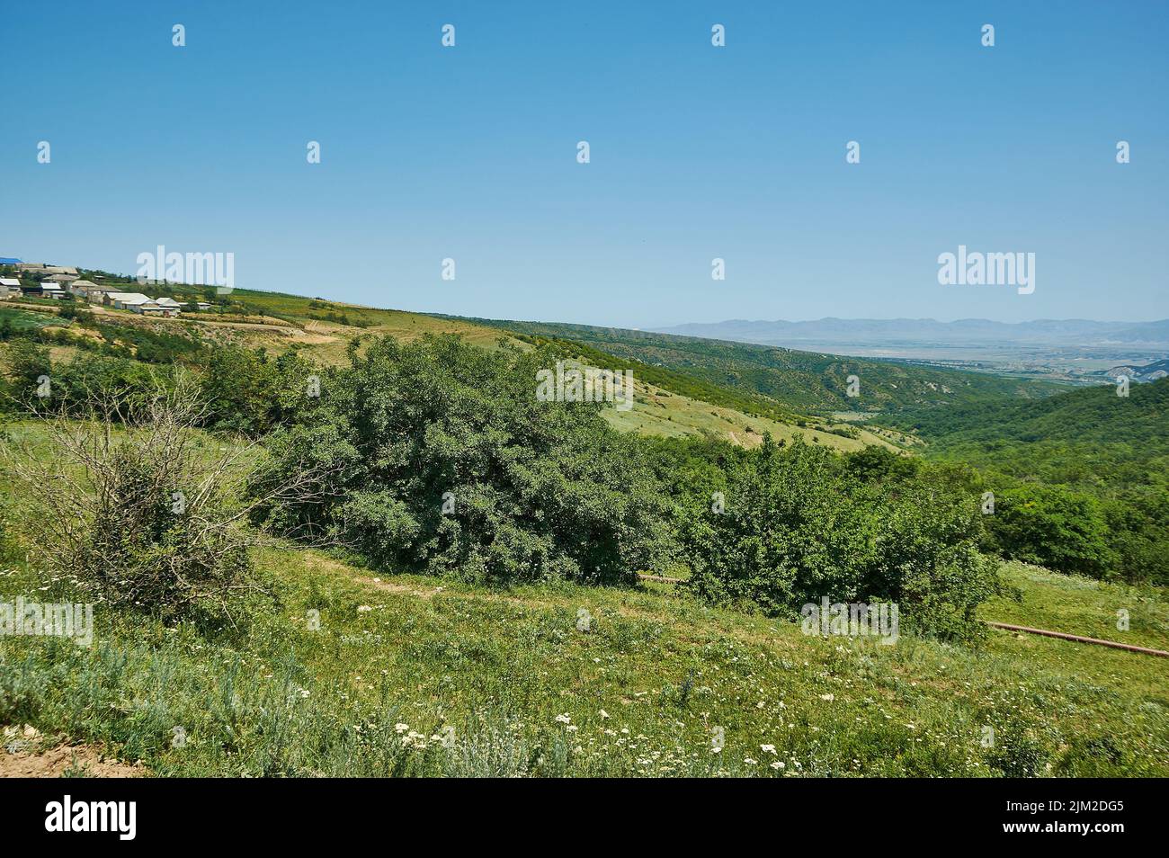 Landschaftlich schöne Aussicht auf grüne Wiesen große Bergformation im Hintergrund. Dagestan, Russland Stockfotohttps://www.alamy.de/image-license-details/?v=1https://www.alamy.de/landschaftlich-schone-aussicht-auf-grune-wiesen-grosse-bergformation-im-hintergrund-dagestan-russland-image477027605.html
RF2JM2DG5–Landschaftlich schöne Aussicht auf grüne Wiesen große Bergformation im Hintergrund. Dagestan, Russland
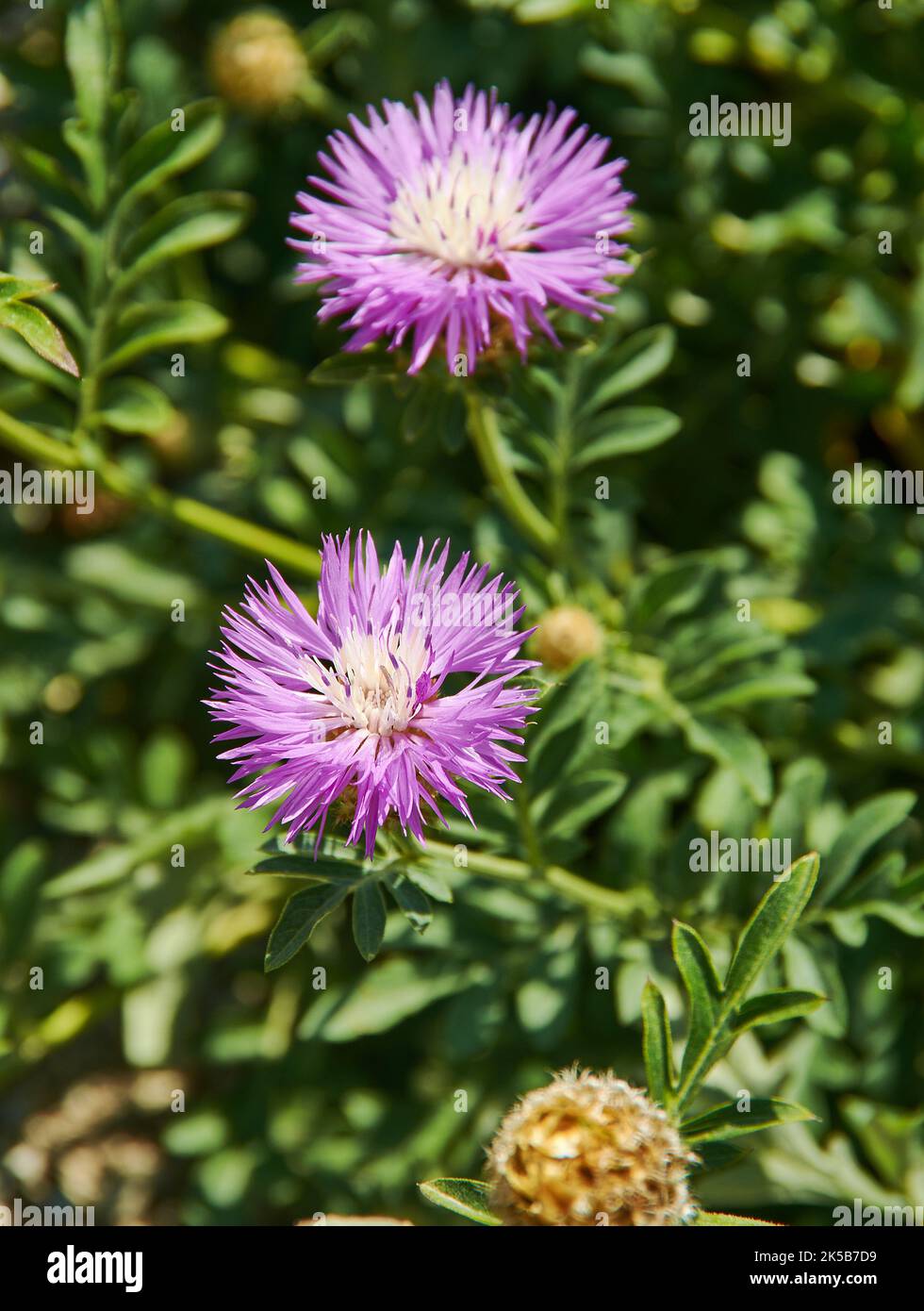 Centaurea jacea - Arten krautiger Staudenpflanzen der Gattung Centaurea, die in ganz Europa auf trockenen Wiesen und offenen Wäldern beheimatet sind. Stockfotohttps://www.alamy.de/image-license-details/?v=1https://www.alamy.de/centaurea-jacea-arten-krautiger-staudenpflanzen-der-gattung-centaurea-die-in-ganz-europa-auf-trockenen-wiesen-und-offenen-waldern-beheimatet-sind-image485210917.html
RF2K5B7D9–Centaurea jacea - Arten krautiger Staudenpflanzen der Gattung Centaurea, die in ganz Europa auf trockenen Wiesen und offenen Wäldern beheimatet sind.
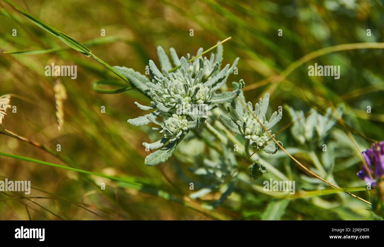 Teucrium polium - im Volksmund als Filzgermander bekannt, ist ein Substrauch und Kraut, das im westlichen Mittelmeerraum beheimatet ist Stockfotohttps://www.alamy.de/image-license-details/?v=1https://www.alamy.de/teucrium-polium-im-volksmund-als-filzgermander-bekannt-ist-ein-substrauch-und-kraut-das-im-westlichen-mittelmeerraum-beheimatet-ist-image480455190.html
RF2JWJHDX–Teucrium polium - im Volksmund als Filzgermander bekannt, ist ein Substrauch und Kraut, das im westlichen Mittelmeerraum beheimatet ist