Aberystwyth bilder Stockfotos & Bilder
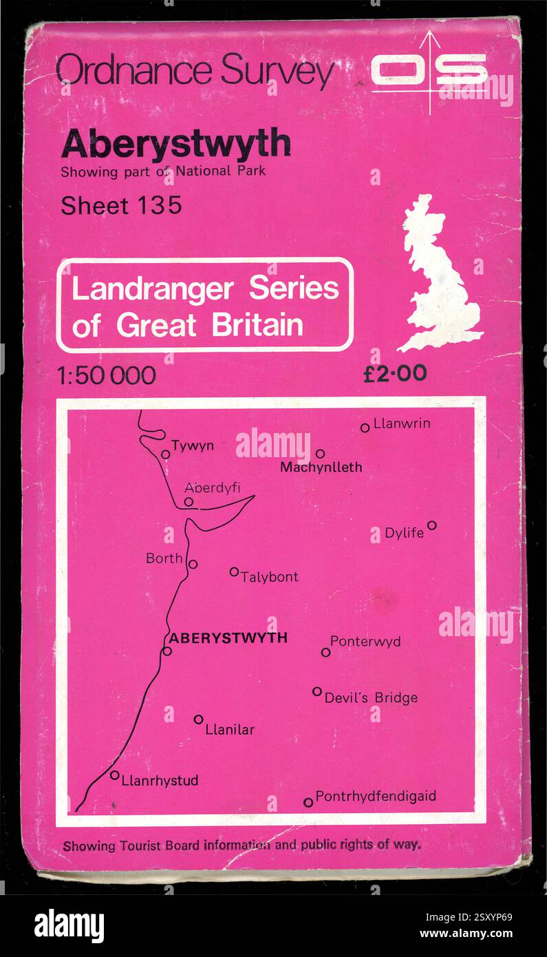
 Vintage Ordnance Survey Karte Aberystwyth, Teil National Park Blatt 135 Landranger Series of Great Britain Veröffentlichungsdatum 1980, UK Stockfotohttps://www.alamy.de/image-license-details/?v=1https://www.alamy.de/vintage-ordnance-survey-karte-aberystwyth-teil-national-park-blatt-135-landranger-series-of-great-britain-veroffentlichungsdatum-1980-uk-image653374801.html
RM2SXYP69–Vintage Ordnance Survey Karte Aberystwyth, Teil National Park Blatt 135 Landranger Series of Great Britain Veröffentlichungsdatum 1980, UK
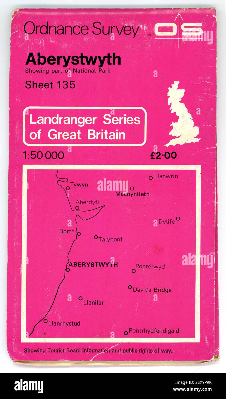
 Vintage Ordnance Survey Karte Aberystwyth, Teil National Park Blatt 135 Landranger Series of Great Britain Veröffentlichungsdatum 1980, UK Stockfotohttps://www.alamy.de/image-license-details/?v=1https://www.alamy.de/vintage-ordnance-survey-karte-aberystwyth-teil-national-park-blatt-135-landranger-series-of-great-britain-veroffentlichungsdatum-1980-uk-image653374895.html
RM2SXYP9K–Vintage Ordnance Survey Karte Aberystwyth, Teil National Park Blatt 135 Landranger Series of Great Britain Veröffentlichungsdatum 1980, UK
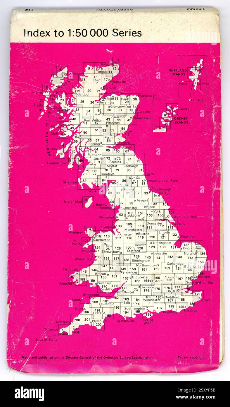
 Umgekehrte Vintage Ordnance Survey Map Aberystwyth, Teil des National Park Sheet 135 Landranger Series of Great Britain Erscheinungsdatum 1980, Großbritannien Stockfotohttps://www.alamy.de/image-license-details/?v=1https://www.alamy.de/umgekehrte-vintage-ordnance-survey-map-aberystwyth-teil-des-national-park-sheet-135-landranger-series-of-great-britain-erscheinungsdatum-1980-grossbritannien-image653374775.html
RM2SXYP5B–Umgekehrte Vintage Ordnance Survey Map Aberystwyth, Teil des National Park Sheet 135 Landranger Series of Great Britain Erscheinungsdatum 1980, Großbritannien
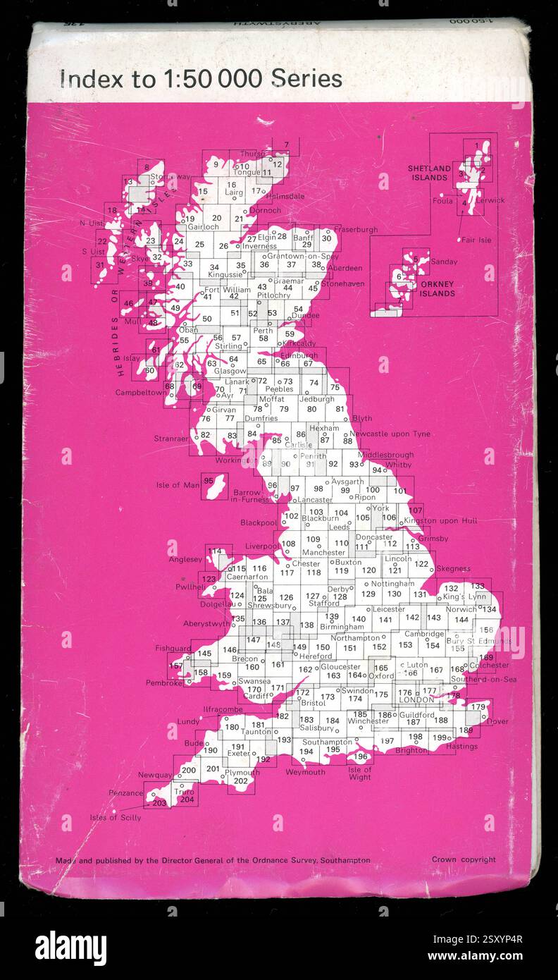
 Umgekehrte Vintage Ordnance Survey Map Aberystwyth, Teil des National Park Sheet 135 Landranger Series of Great Britain Erscheinungsdatum 1980, Großbritannien Stockfotohttps://www.alamy.de/image-license-details/?v=1https://www.alamy.de/umgekehrte-vintage-ordnance-survey-map-aberystwyth-teil-des-national-park-sheet-135-landranger-series-of-great-britain-erscheinungsdatum-1980-grossbritannien-image653374759.html
RM2SXYP4R–Umgekehrte Vintage Ordnance Survey Map Aberystwyth, Teil des National Park Sheet 135 Landranger Series of Great Britain Erscheinungsdatum 1980, Großbritannien