Countryside ireland Stockfotos & Bilder
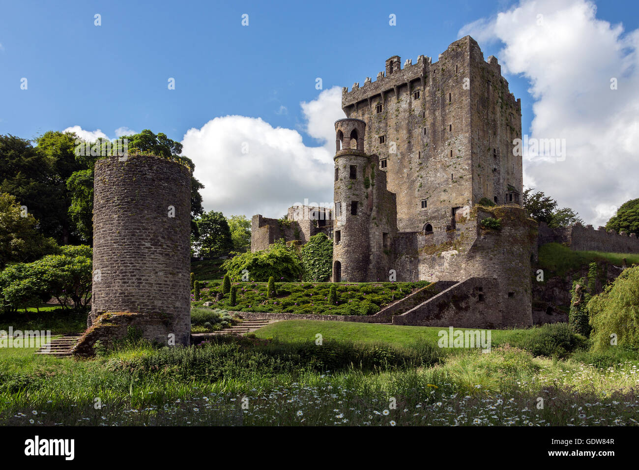 Blarney Castle ist eine mittelalterliche Festung in Blarney, in der Nähe von Cork, Irland. Stockfotohttps://www.alamy.de/image-license-details/?v=1https://www.alamy.de/stockfoto-blarney-castle-ist-eine-mittelalterliche-festung-in-blarney-in-der-nahe-von-cork-irland-111807943.html
RMGDW84R–Blarney Castle ist eine mittelalterliche Festung in Blarney, in der Nähe von Cork, Irland.
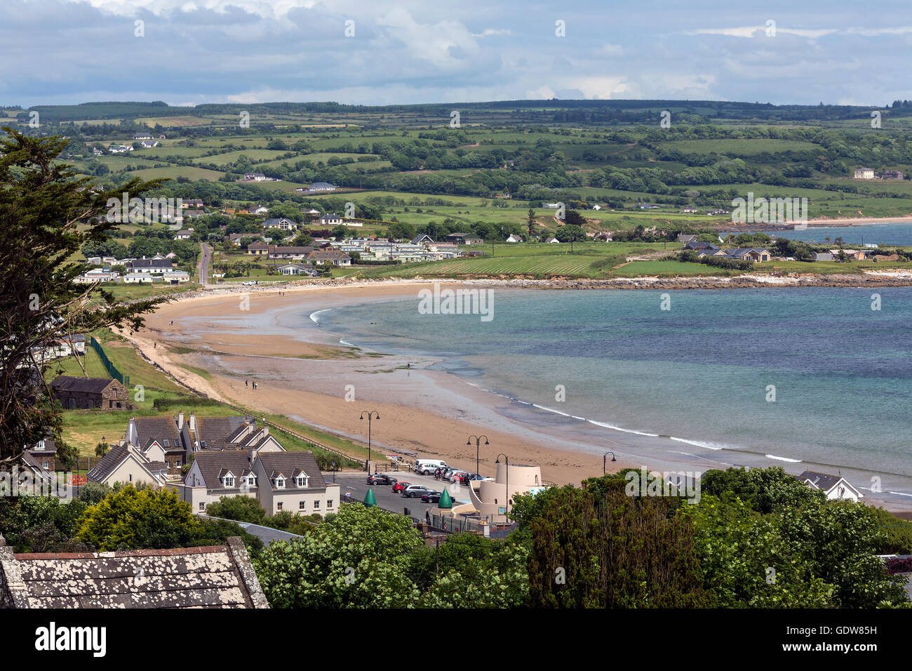 Das Dorf von Ardmore in County Waterford in Irland. Stockfotohttps://www.alamy.de/image-license-details/?v=1https://www.alamy.de/stockfoto-das-dorf-von-ardmore-in-county-waterford-in-irland-111807965.html
RFGDW85H–Das Dorf von Ardmore in County Waterford in Irland.
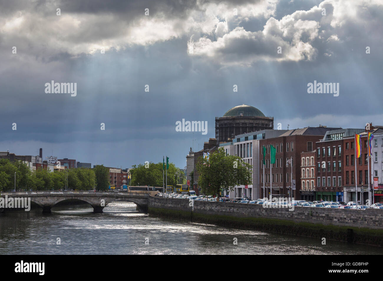 Gewitterwolken und Sonnenstrahlen über den Fluss Liffey und die Stadt Dublin in Irland. Stockfotohttps://www.alamy.de/image-license-details/?v=1https://www.alamy.de/stockfoto-gewitterwolken-und-sonnenstrahlen-uber-den-fluss-liffey-und-die-stadt-dublin-in-irland-111506466.html
RFGDBFHP–Gewitterwolken und Sonnenstrahlen über den Fluss Liffey und die Stadt Dublin in Irland.
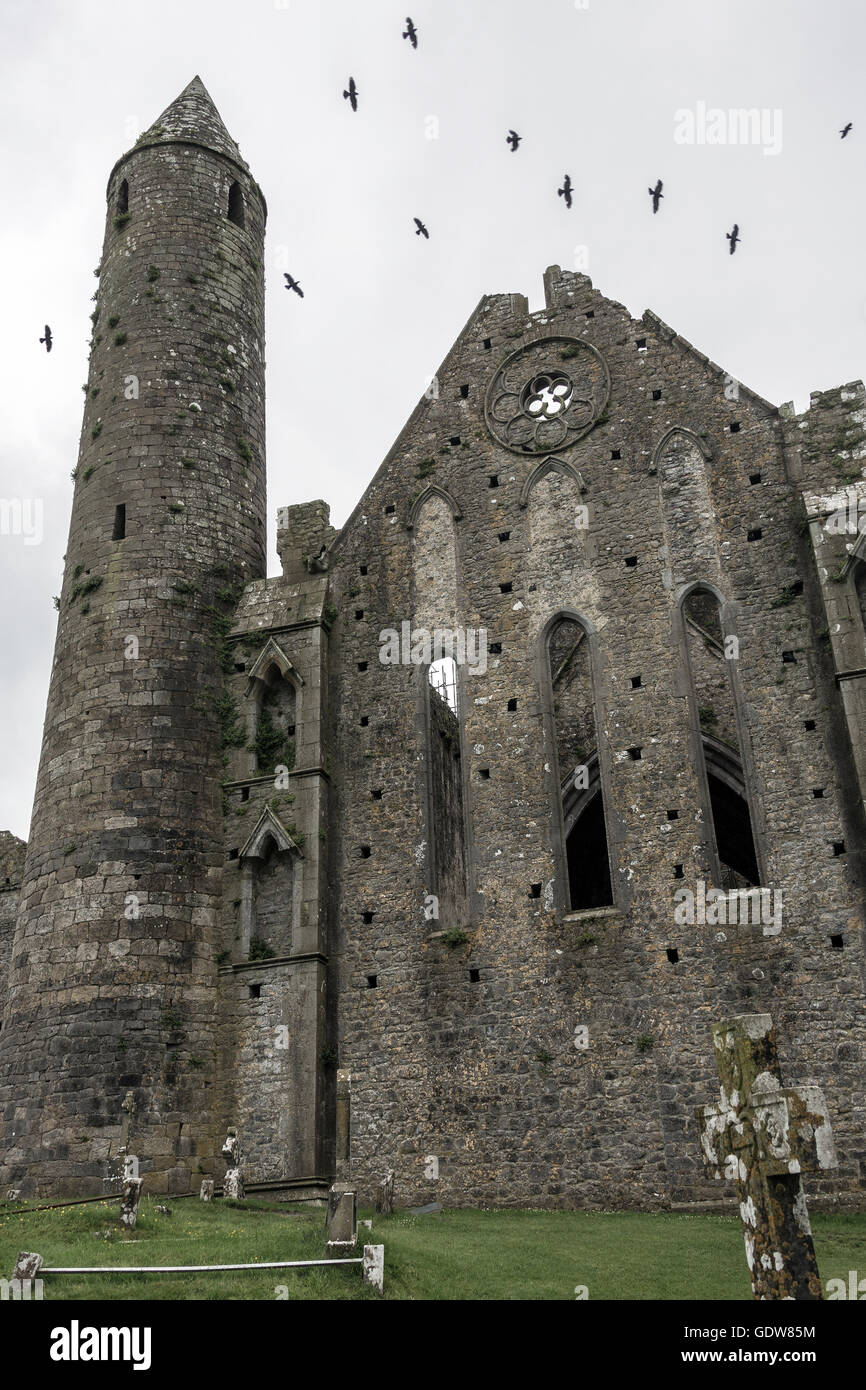 Der Rock of Cashel - Republik Irland Stockfotohttps://www.alamy.de/image-license-details/?v=1https://www.alamy.de/stockfoto-der-rock-of-cashel-republik-irland-111807968.html
RFGDW85M–Der Rock of Cashel - Republik Irland
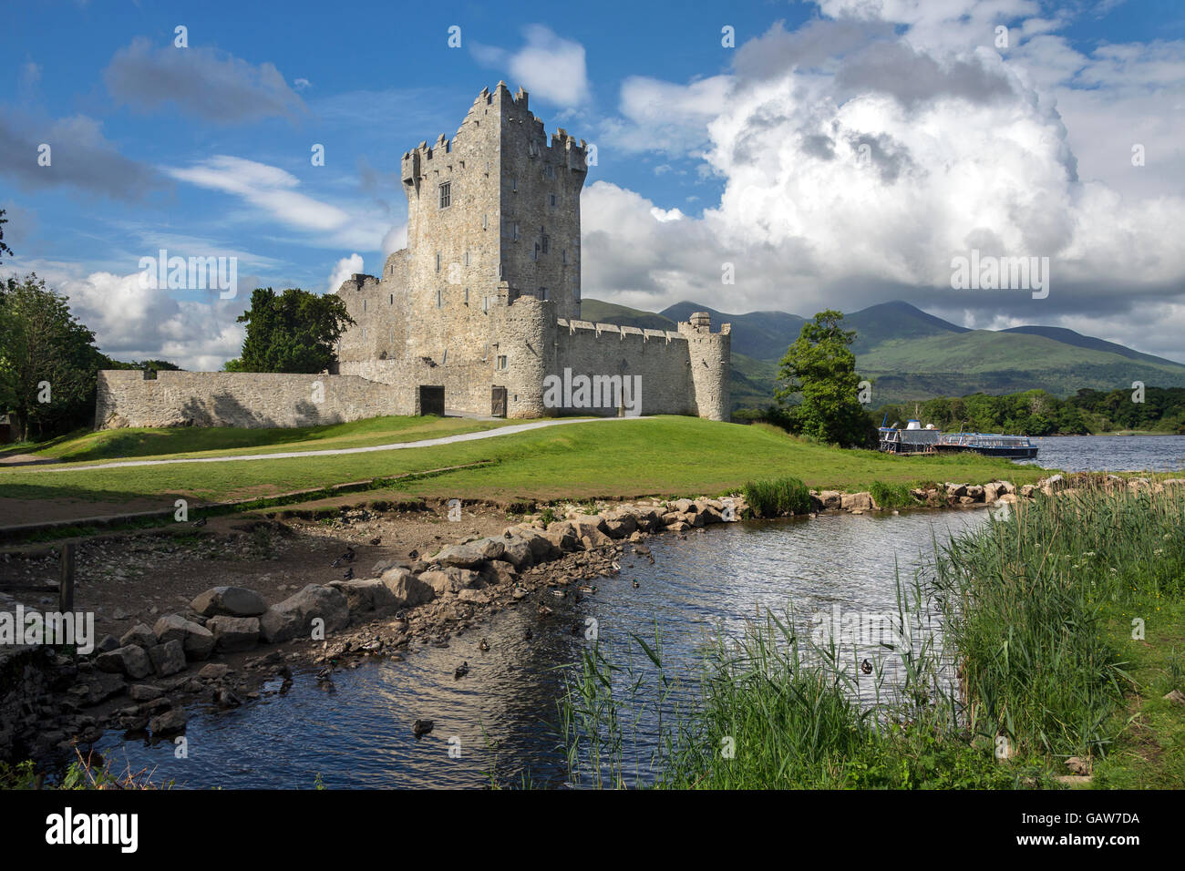 Ross Castle - Killarney - Republik Irland Stockfotohttps://www.alamy.de/image-license-details/?v=1https://www.alamy.de/stockfoto-ross-castle-killarney-republik-irland-109963430.html
RMGAW7DA–Ross Castle - Killarney - Republik Irland
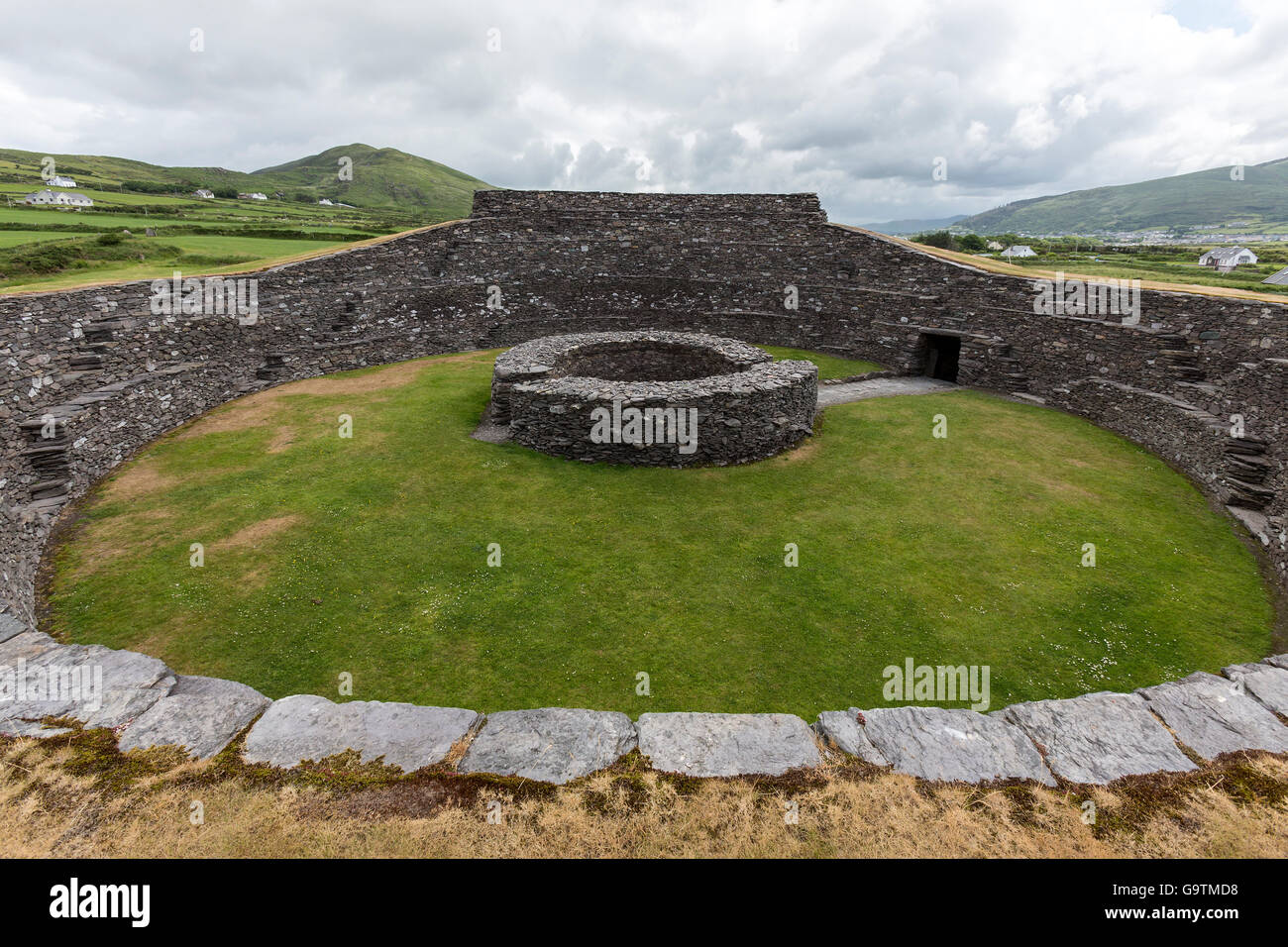 Cahergall Stone Fort in der Nähe von Cahirsiveen im Südwesten Irlands. Stockfotohttps://www.alamy.de/image-license-details/?v=1https://www.alamy.de/stockfoto-cahergall-stone-fort-in-der-nahe-von-cahirsiveen-im-sudwesten-irlands-109337012.html
RFG9TMD8–Cahergall Stone Fort in der Nähe von Cahirsiveen im Südwesten Irlands.
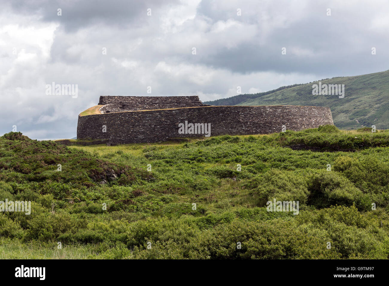 Cahergall Stone Fort in der Nähe von Cahirsiveen im Südwesten Irlands. Stockfotohttps://www.alamy.de/image-license-details/?v=1https://www.alamy.de/stockfoto-cahergall-stone-fort-in-der-nahe-von-cahirsiveen-im-sudwesten-irlands-109336899.html
RFG9TM97–Cahergall Stone Fort in der Nähe von Cahirsiveen im Südwesten Irlands.
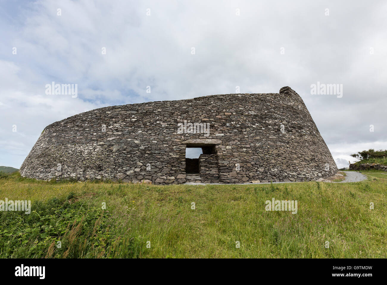 Cahergall Stone Fort in der Nähe von Cahirsiveen im Südwesten Irlands. Stockfotohttps://www.alamy.de/image-license-details/?v=1https://www.alamy.de/stockfoto-cahergall-stone-fort-in-der-nahe-von-cahirsiveen-im-sudwesten-irlands-109337029.html
RFG9TMDW–Cahergall Stone Fort in der Nähe von Cahirsiveen im Südwesten Irlands.
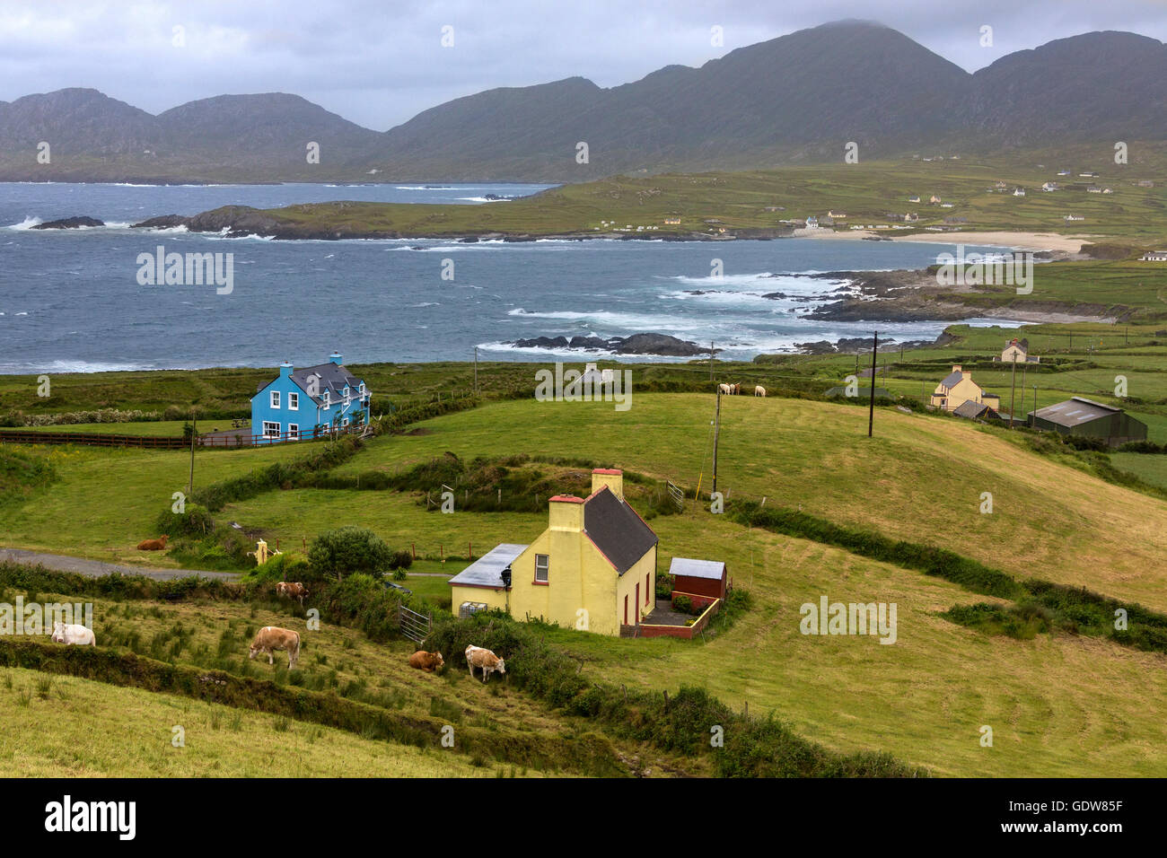 Dramatische Küstenlinie der Halbinsel Beara, an der südwestlichen Küste von Irland. Stockfotohttps://www.alamy.de/image-license-details/?v=1https://www.alamy.de/stockfoto-dramatische-kustenlinie-der-halbinsel-beara-an-der-sudwestlichen-kuste-von-irland-111807963.html
RFGDW85F–Dramatische Küstenlinie der Halbinsel Beara, an der südwestlichen Küste von Irland.
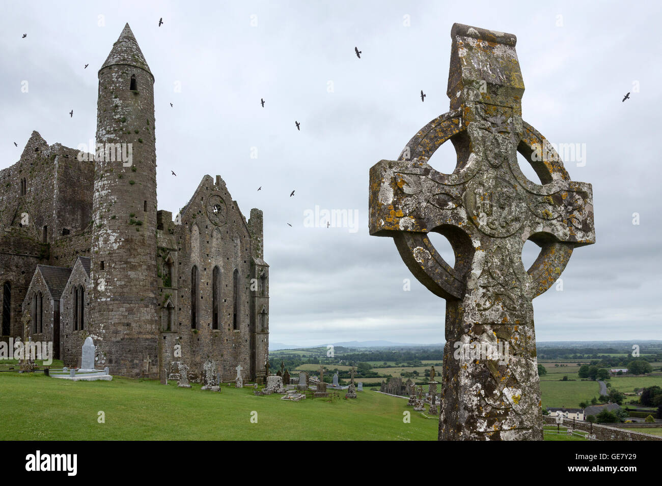 Der Rock of Cashel - County Tipperary in Irland Stockfotohttps://www.alamy.de/image-license-details/?v=1https://www.alamy.de/stockfoto-der-rock-of-cashel-county-tipperary-in-irland-112042289.html
RFGE7Y29–Der Rock of Cashel - County Tipperary in Irland
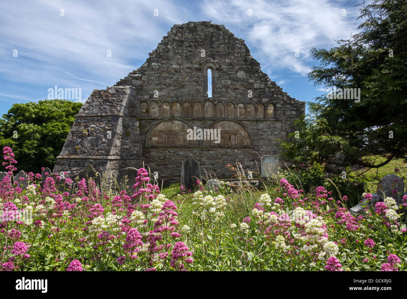 Die Ruinen von Ardmore Kathedrale, County Waterford in Irland. Stockfotohttps://www.alamy.de/image-license-details/?v=1https://www.alamy.de/stockfoto-die-ruinen-von-ardmore-kathedrale-county-waterford-in-irland-111073720.html
RFGCKRJG–Die Ruinen von Ardmore Kathedrale, County Waterford in Irland.
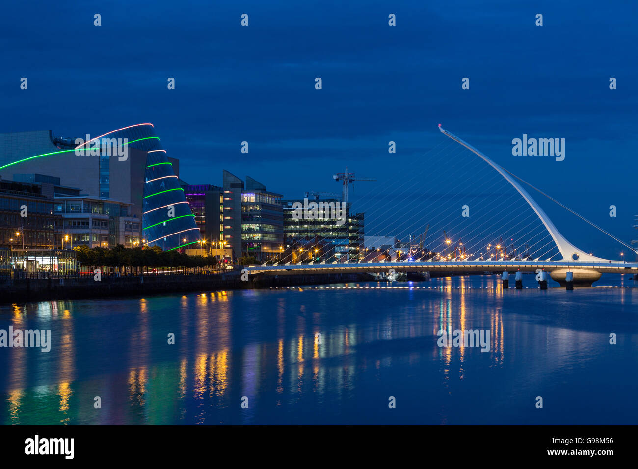 Der Fluss Liffey, Samuel Beckett Bridge und dem Convention Center - Dublin - Irland Stockfotohttps://www.alamy.de/image-license-details/?v=1https://www.alamy.de/stockfoto-der-fluss-liffey-samuel-beckett-bridge-und-dem-convention-center-dublin-irland-108985554.html
RFG98M56–Der Fluss Liffey, Samuel Beckett Bridge und dem Convention Center - Dublin - Irland
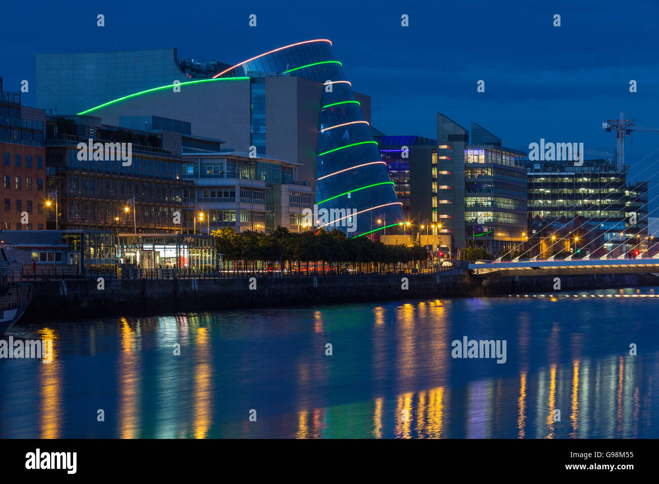 Der Fluss Liffey, Samuel Beckett Bridge und dem Convention Center - Dublin - Irland Stockfotohttps://www.alamy.de/image-license-details/?v=1https://www.alamy.de/stockfoto-der-fluss-liffey-samuel-beckett-bridge-und-dem-convention-center-dublin-irland-108985553.html
RFG98M55–Der Fluss Liffey, Samuel Beckett Bridge und dem Convention Center - Dublin - Irland
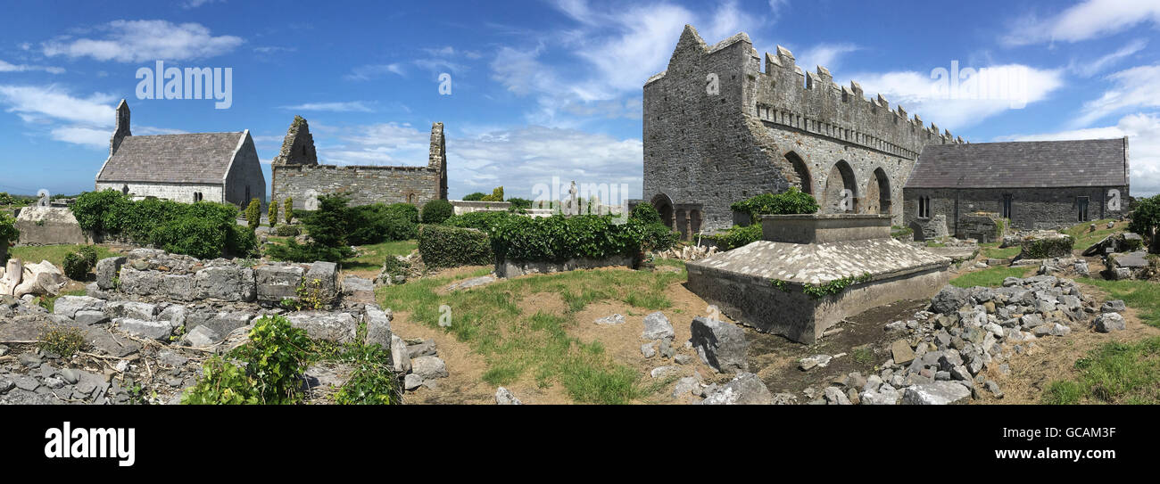 Die Ruinen von Ardfert Kathedrale in County Kerry in Irland. Stockfotohttps://www.alamy.de/image-license-details/?v=1https://www.alamy.de/stockfoto-die-ruinen-von-ardfert-kathedrale-in-county-kerry-in-irland-110873379.html
RFGCAM3F–Die Ruinen von Ardfert Kathedrale in County Kerry in Irland.
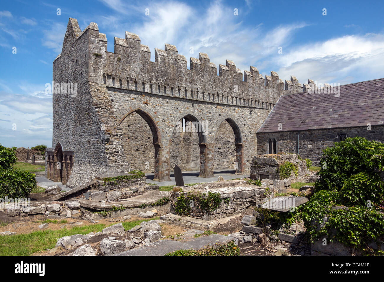 Die Ruinen von Ardfert Kathedrale in County Kerry in Irland. Stockfotohttps://www.alamy.de/image-license-details/?v=1https://www.alamy.de/stockfoto-die-ruinen-von-ardfert-kathedrale-in-county-kerry-in-irland-110873322.html
RFGCAM1E–Die Ruinen von Ardfert Kathedrale in County Kerry in Irland.
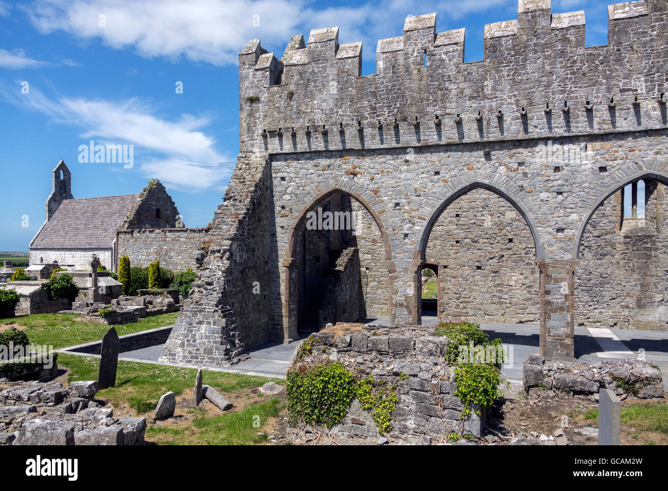 Die Ruinen von Ardfert Kathedrale in County Kerry in Irland. Stockfotohttps://www.alamy.de/image-license-details/?v=1https://www.alamy.de/stockfoto-die-ruinen-von-ardfert-kathedrale-in-county-kerry-in-irland-110873361.html
RFGCAM2W–Die Ruinen von Ardfert Kathedrale in County Kerry in Irland.
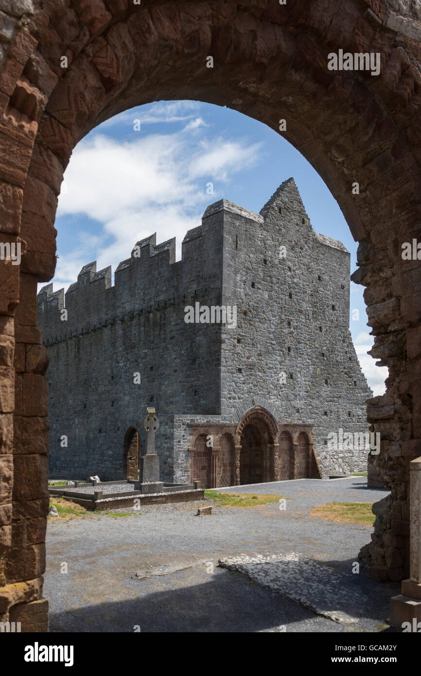 Die Ruinen von Ardfert Kathedrale in County Kerry in Irland. Stockfotohttps://www.alamy.de/image-license-details/?v=1https://www.alamy.de/stockfoto-die-ruinen-von-ardfert-kathedrale-in-county-kerry-in-irland-110873363.html
RFGCAM2Y–Die Ruinen von Ardfert Kathedrale in County Kerry in Irland.
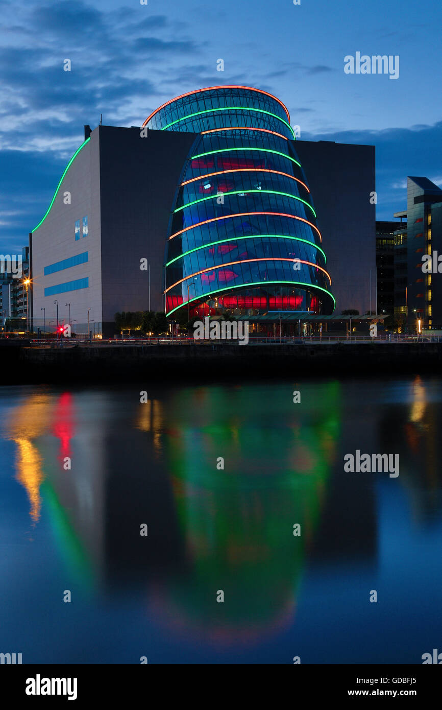 Nachtansicht des Convention Centre in Dublin Docklands in der Republik Irland Stockfotohttps://www.alamy.de/image-license-details/?v=1https://www.alamy.de/stockfoto-nachtansicht-des-convention-centre-in-dublin-docklands-in-der-republik-irland-111506477.html
RFGDBFJ5–Nachtansicht des Convention Centre in Dublin Docklands in der Republik Irland
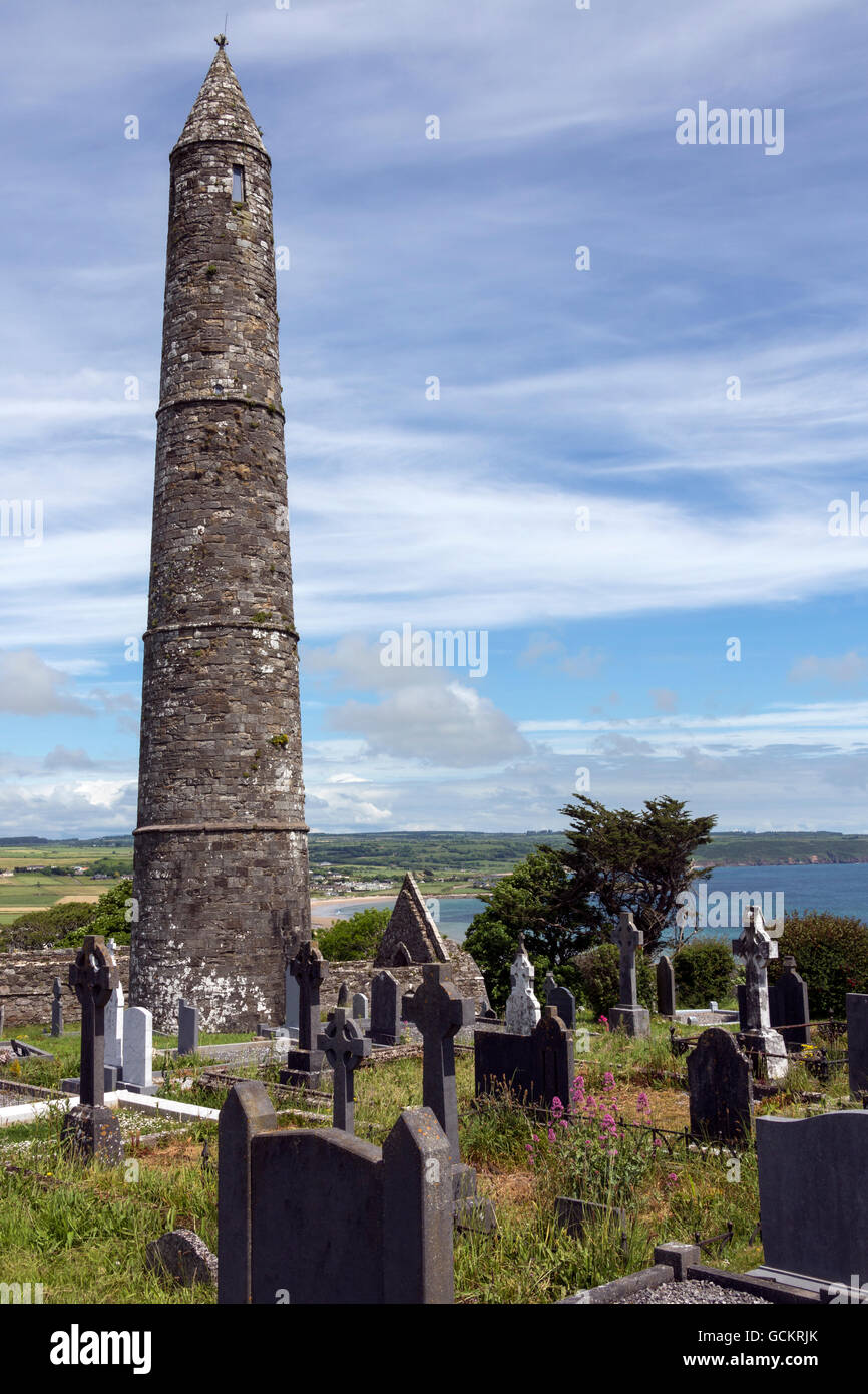 Die Ruinen von Ardmore Kathedrale und Rundturm, County Waterford in Irland. Stockfotohttps://www.alamy.de/image-license-details/?v=1https://www.alamy.de/stockfoto-die-ruinen-von-ardmore-kathedrale-und-rundturm-county-waterford-in-irland-111073723.html
RFGCKRJK–Die Ruinen von Ardmore Kathedrale und Rundturm, County Waterford in Irland.
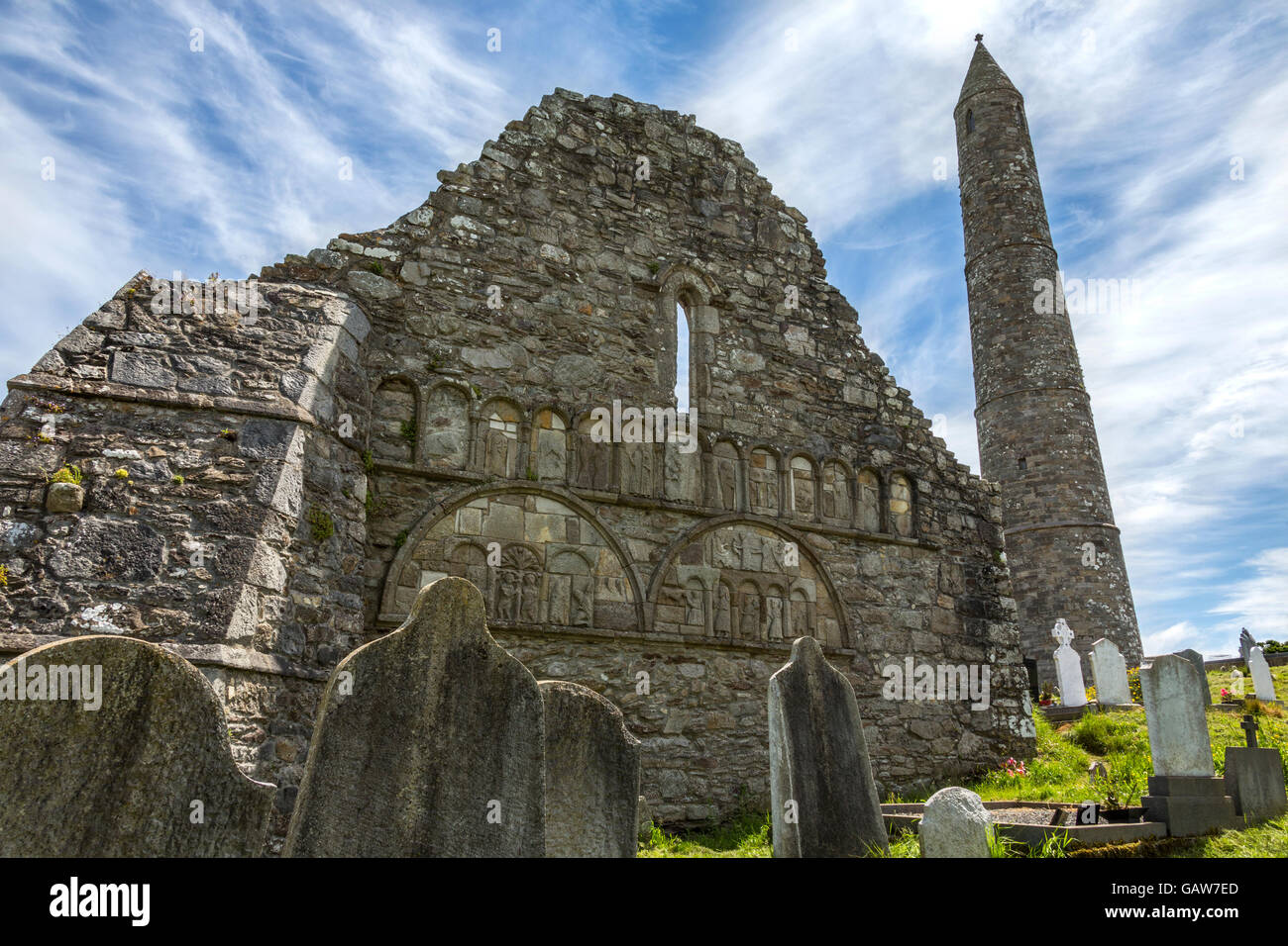 Die Ruinen von Ardmore Kathedrale und Rundturm, County Waterford in Irland. Stockfotohttps://www.alamy.de/image-license-details/?v=1https://www.alamy.de/stockfoto-die-ruinen-von-ardmore-kathedrale-und-rundturm-county-waterford-in-irland-109963461.html
RFGAW7ED–Die Ruinen von Ardmore Kathedrale und Rundturm, County Waterford in Irland.
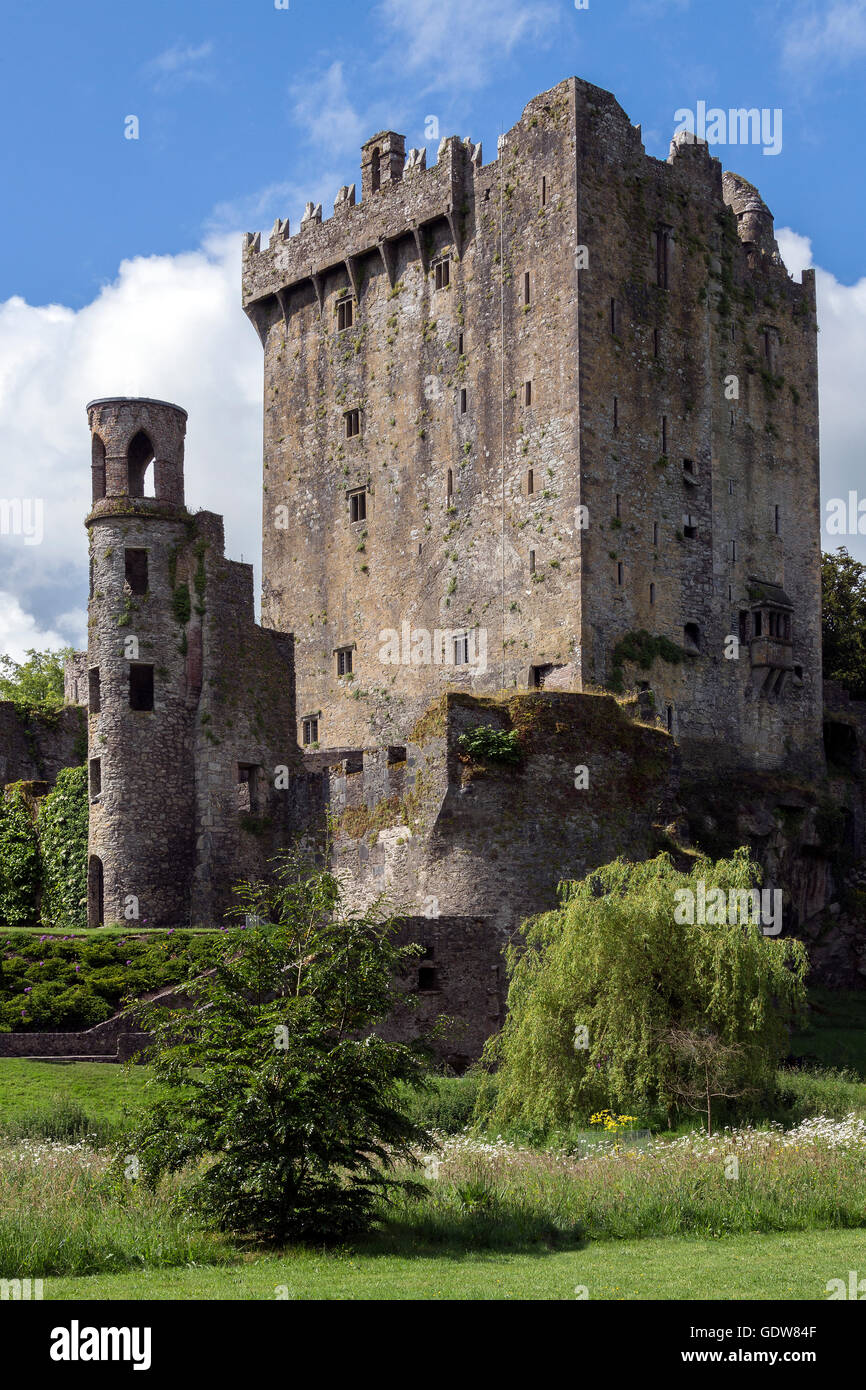 Blarney Castle ist eine mittelalterliche Festung in Blarney, in der Nähe von Cork, Irland. Stockfotohttps://www.alamy.de/image-license-details/?v=1https://www.alamy.de/stockfoto-blarney-castle-ist-eine-mittelalterliche-festung-in-blarney-in-der-nahe-von-cork-irland-111807935.html
RMGDW84F–Blarney Castle ist eine mittelalterliche Festung in Blarney, in der Nähe von Cork, Irland.
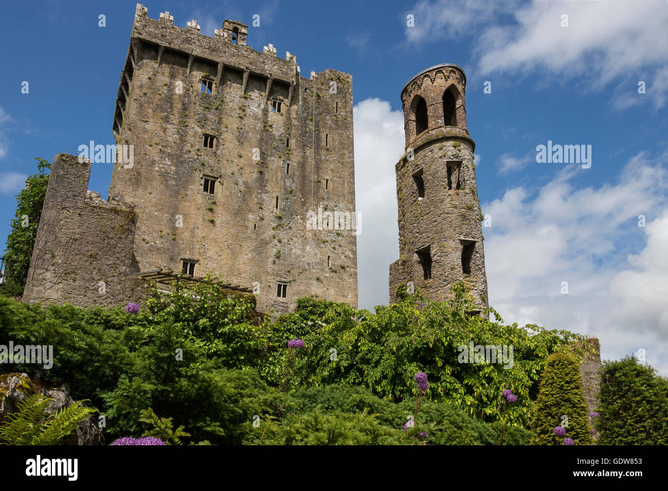 Blarney Castle ist eine mittelalterliche Festung in Blarney, in der Nähe von Cork, Irland. Stockfotohttps://www.alamy.de/image-license-details/?v=1https://www.alamy.de/stockfoto-blarney-castle-ist-eine-mittelalterliche-festung-in-blarney-in-der-nahe-von-cork-irland-111807951.html
RMGDW853–Blarney Castle ist eine mittelalterliche Festung in Blarney, in der Nähe von Cork, Irland.
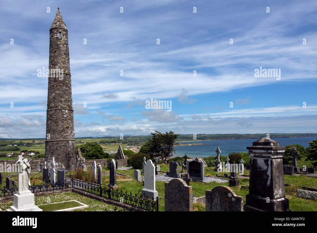 Die Ruinen von Ardmore Kathedrale und Rundturm, County Waterford in Irland. Stockfotohttps://www.alamy.de/image-license-details/?v=1https://www.alamy.de/stockfoto-die-ruinen-von-ardmore-kathedrale-und-rundturm-county-waterford-in-irland-109963478.html
RFGAW7F2–Die Ruinen von Ardmore Kathedrale und Rundturm, County Waterford in Irland.
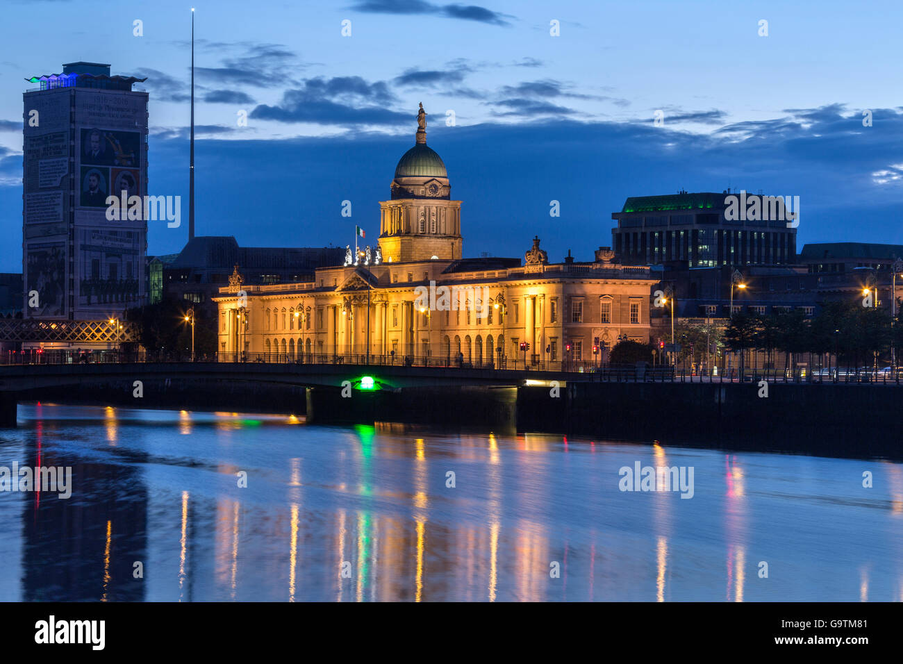 Customs House in Dublin, Irland. Die Skyline von Dublin in der Nähe von Custom House Stockfotohttps://www.alamy.de/image-license-details/?v=1https://www.alamy.de/stockfoto-customs-house-in-dublin-irland-die-skyline-von-dublin-in-der-nahe-von-custom-house-109336865.html
RFG9TM81–Customs House in Dublin, Irland. Die Skyline von Dublin in der Nähe von Custom House
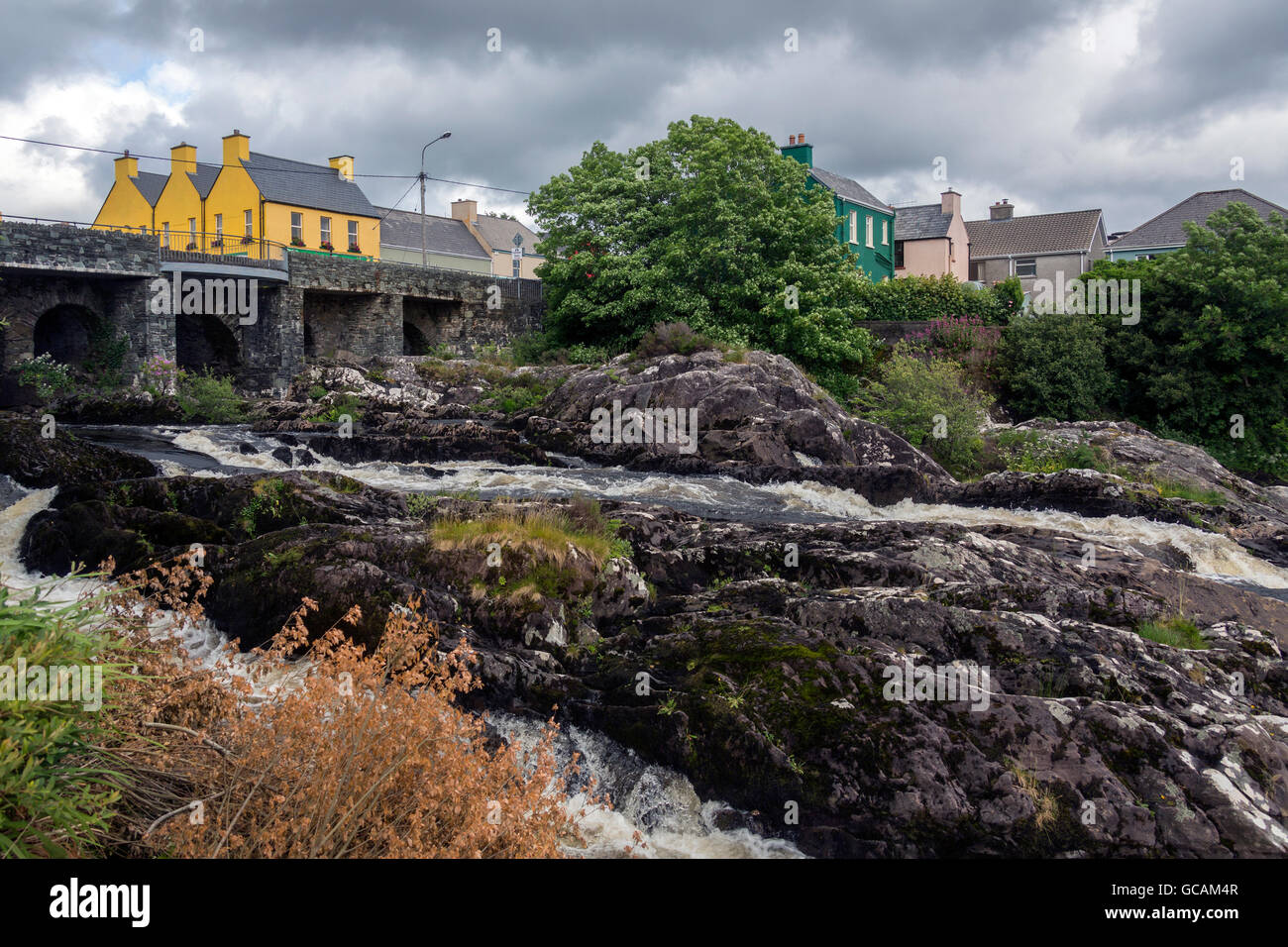 Das Dorf von Sneem auf der Iveragh-Halbinsel in der Grafschaft Kerry in Irland. Stockfotohttps://www.alamy.de/image-license-details/?v=1https://www.alamy.de/stockfoto-das-dorf-von-sneem-auf-der-iveragh-halbinsel-in-der-grafschaft-kerry-in-irland-110873415.html
RFGCAM4R–Das Dorf von Sneem auf der Iveragh-Halbinsel in der Grafschaft Kerry in Irland.
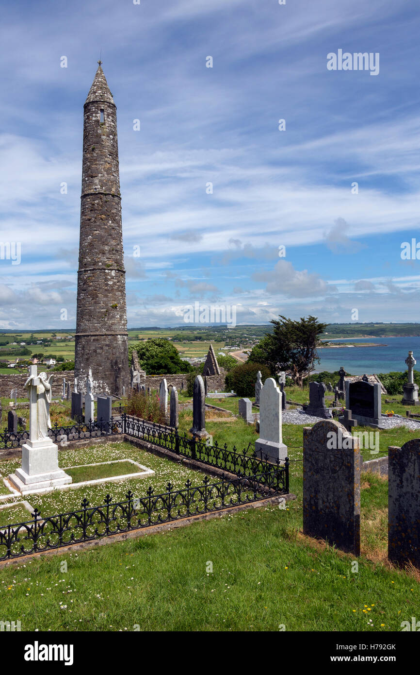 Die Ruinen von Ardmore Kathedrale und Rundturm, County Waterford in Irland. Stockfotohttps://www.alamy.de/image-license-details/?v=1https://www.alamy.de/stockfoto-die-ruinen-von-ardmore-kathedrale-und-rundturm-county-waterford-in-irland-124974771.html
RFH792GK–Die Ruinen von Ardmore Kathedrale und Rundturm, County Waterford in Irland.
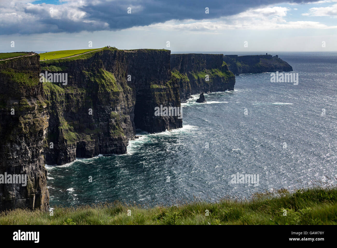 Die Klippen von Moher - befindet sich am südwestlichen Rand der Region Burren im County Clare, Irland. Stockfotohttps://www.alamy.de/image-license-details/?v=1https://www.alamy.de/stockfoto-die-klippen-von-moher-befindet-sich-am-sudwestlichen-rand-der-region-burren-im-county-clare-irland-109963307.html
RFGAW78Y–Die Klippen von Moher - befindet sich am südwestlichen Rand der Region Burren im County Clare, Irland.
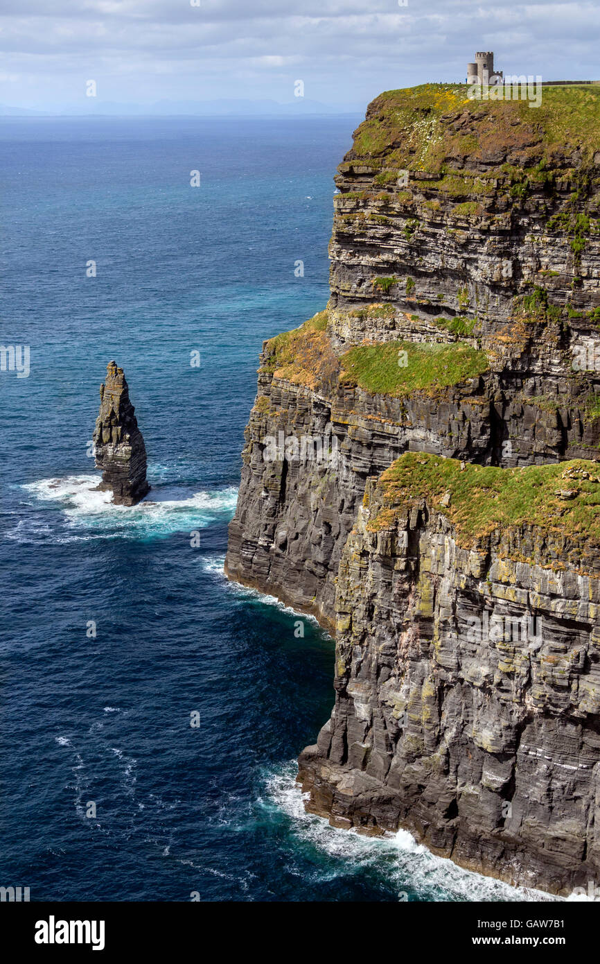 Die Klippen von Moher - befindet sich am südwestlichen Rand der Region Burren im County Clare, Irland. Stockfotohttps://www.alamy.de/image-license-details/?v=1https://www.alamy.de/stockfoto-die-klippen-von-moher-befindet-sich-am-sudwestlichen-rand-der-region-burren-im-county-clare-irland-109963365.html
RFGAW7B1–Die Klippen von Moher - befindet sich am südwestlichen Rand der Region Burren im County Clare, Irland.
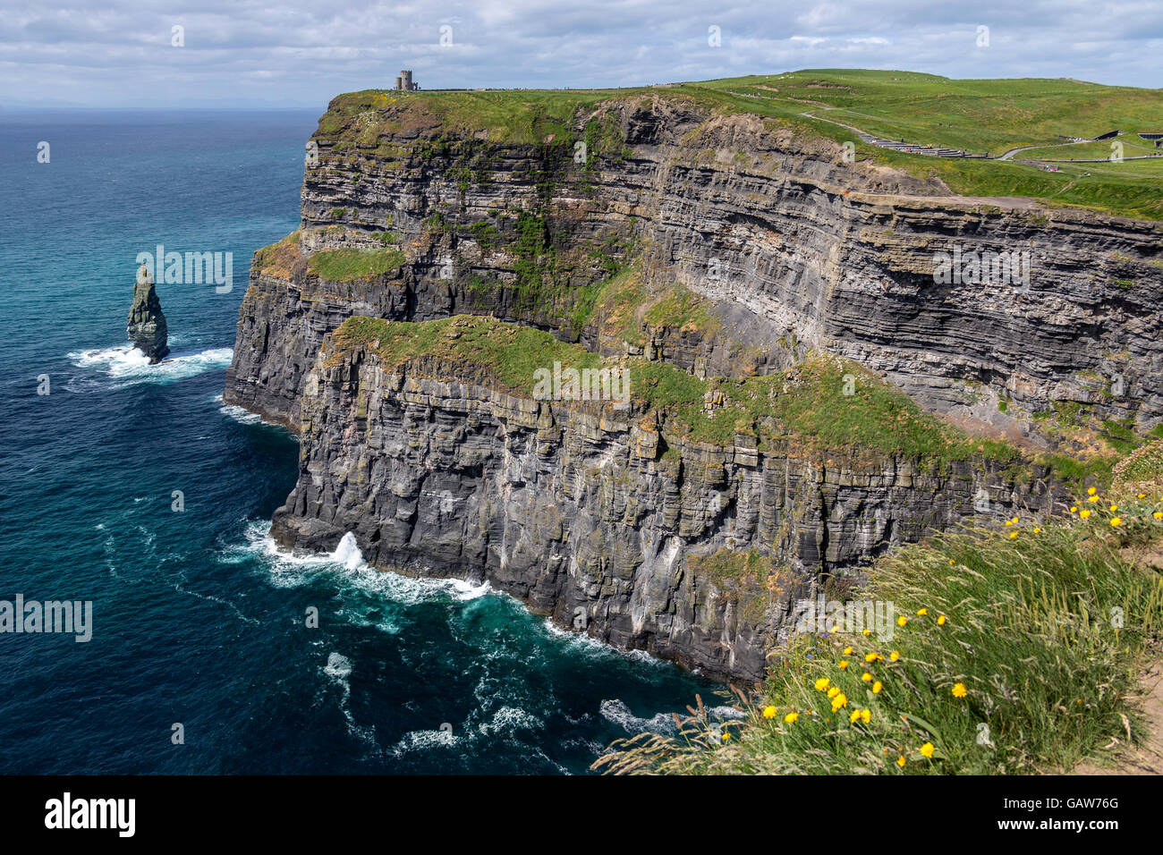 Die Klippen von Moher - befindet sich am südwestlichen Rand der Region Burren im County Clare, Irland. Stockfotohttps://www.alamy.de/image-license-details/?v=1https://www.alamy.de/stockfoto-die-klippen-von-moher-befindet-sich-am-sudwestlichen-rand-der-region-burren-im-county-clare-irland-109963240.html
RFGAW76G–Die Klippen von Moher - befindet sich am südwestlichen Rand der Region Burren im County Clare, Irland.
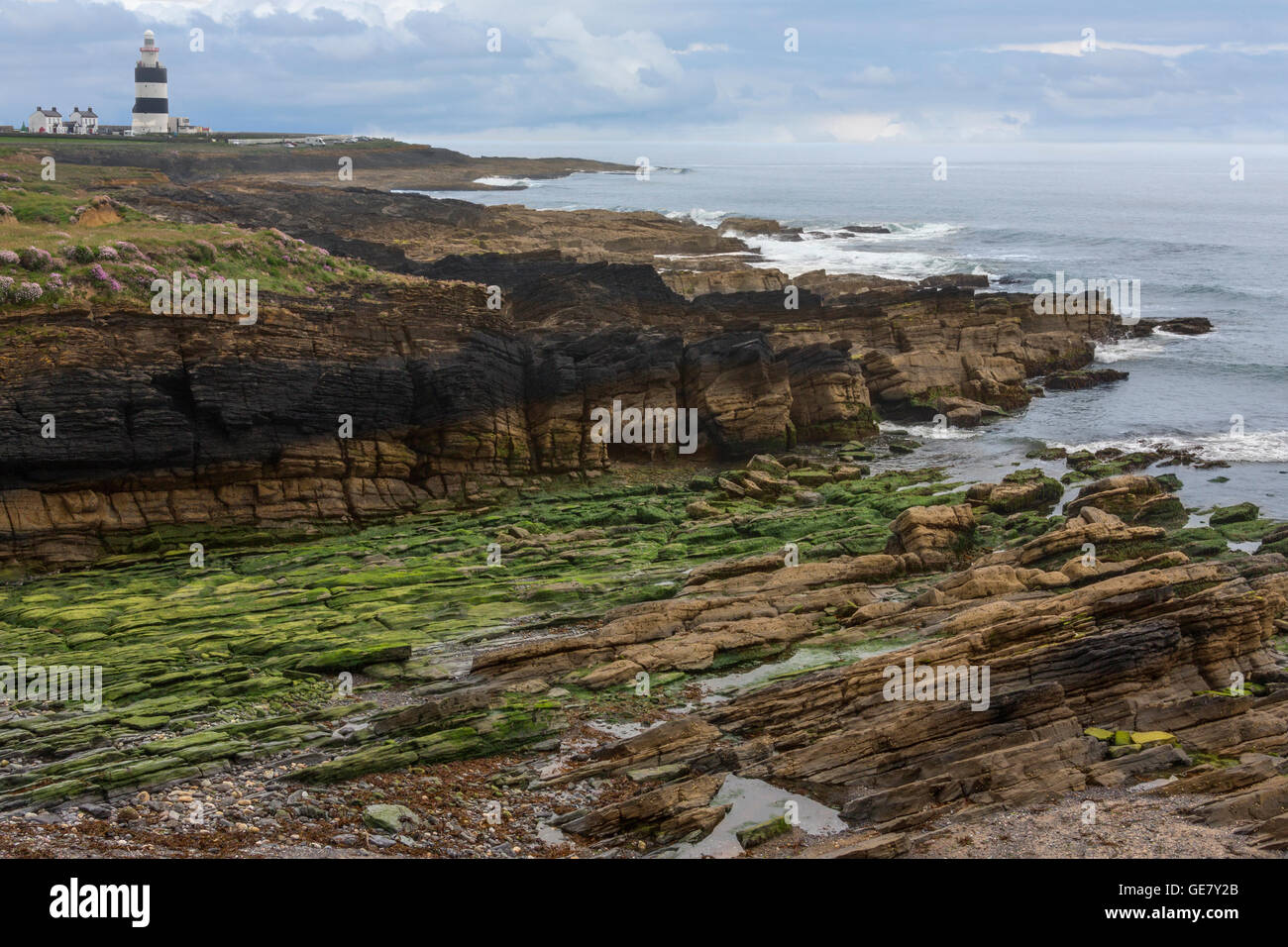 Hook Head Lighthouse befindet sich an der Spitze der Halbinsel Hook in County Wexford in Irland. Stockfotohttps://www.alamy.de/image-license-details/?v=1https://www.alamy.de/stockfoto-hook-head-lighthouse-befindet-sich-an-der-spitze-der-halbinsel-hook-in-county-wexford-in-irland-112042291.html
RFGE7Y2B–Hook Head Lighthouse befindet sich an der Spitze der Halbinsel Hook in County Wexford in Irland.
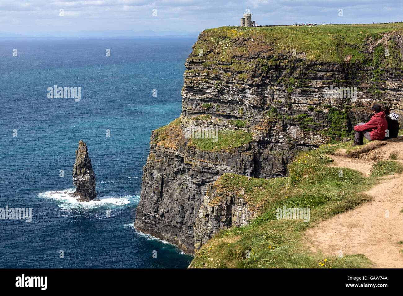 Die Klippen von Moher - befindet sich am südwestlichen Rand der Region Burren im County Clare, Irland. Stockfotohttps://www.alamy.de/image-license-details/?v=1https://www.alamy.de/stockfoto-die-klippen-von-moher-befindet-sich-am-sudwestlichen-rand-der-region-burren-im-county-clare-irland-109963178.html
RMGAW74A–Die Klippen von Moher - befindet sich am südwestlichen Rand der Region Burren im County Clare, Irland.
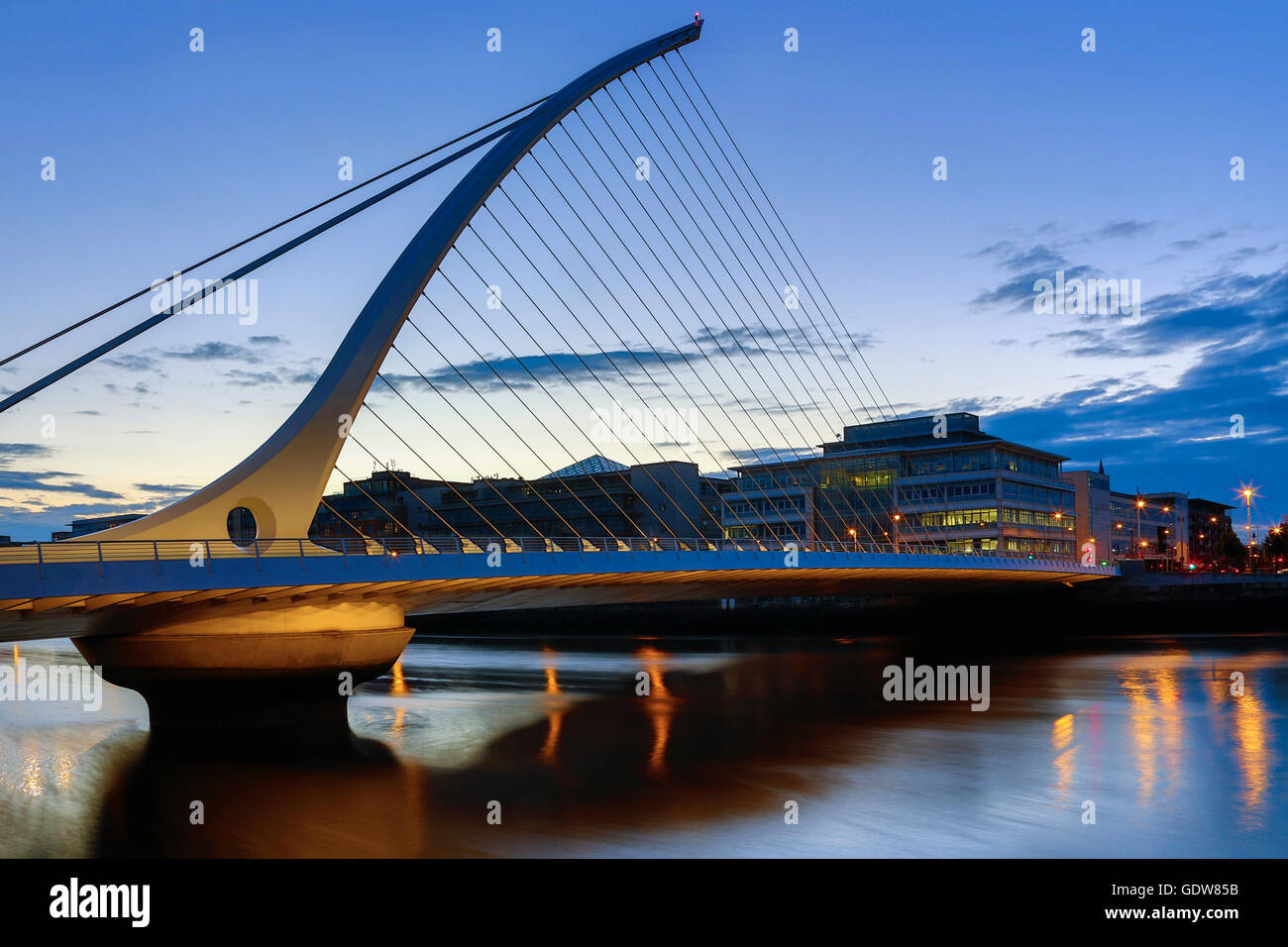 Samuel Beckett Bridge und das Gebäude an der Küste in der Nähe von Kongresszentrum - Zentrum von Dublin, Irland Stockfotohttps://www.alamy.de/image-license-details/?v=1https://www.alamy.de/stockfoto-samuel-beckett-bridge-und-das-gebaude-an-der-kuste-in-der-nahe-von-kongresszentrum-zentrum-von-dublin-irland-111807959.html
RMGDW85B–Samuel Beckett Bridge und das Gebäude an der Küste in der Nähe von Kongresszentrum - Zentrum von Dublin, Irland
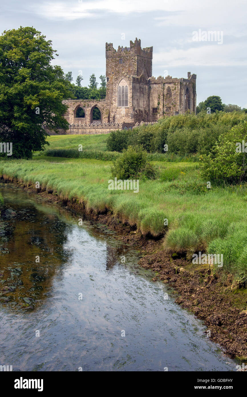 Tintern Abbey - die Ruinen der Zisterzienser-Abtei liegt auf der Halbinsel Hook, County Wexford, Irland. Stockfotohttps://www.alamy.de/image-license-details/?v=1https://www.alamy.de/stockfoto-tintern-abbey-die-ruinen-der-zisterzienser-abtei-liegt-auf-der-halbinsel-hook-county-wexford-irland-111506471.html
RFGDBFHY–Tintern Abbey - die Ruinen der Zisterzienser-Abtei liegt auf der Halbinsel Hook, County Wexford, Irland.
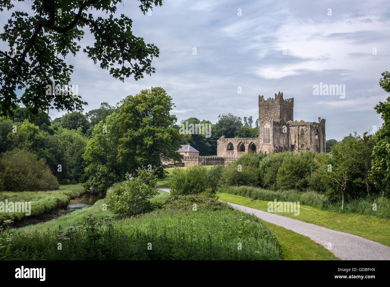 Tintern Abbey - die Ruinen der Zisterzienser-Abtei liegt auf der Halbinsel Hook, County Wexford, Irland. Stockfotohttps://www.alamy.de/image-license-details/?v=1https://www.alamy.de/stockfoto-tintern-abbey-die-ruinen-der-zisterzienser-abtei-liegt-auf-der-halbinsel-hook-county-wexford-irland-111506470.html
RFGDBFHX–Tintern Abbey - die Ruinen der Zisterzienser-Abtei liegt auf der Halbinsel Hook, County Wexford, Irland.
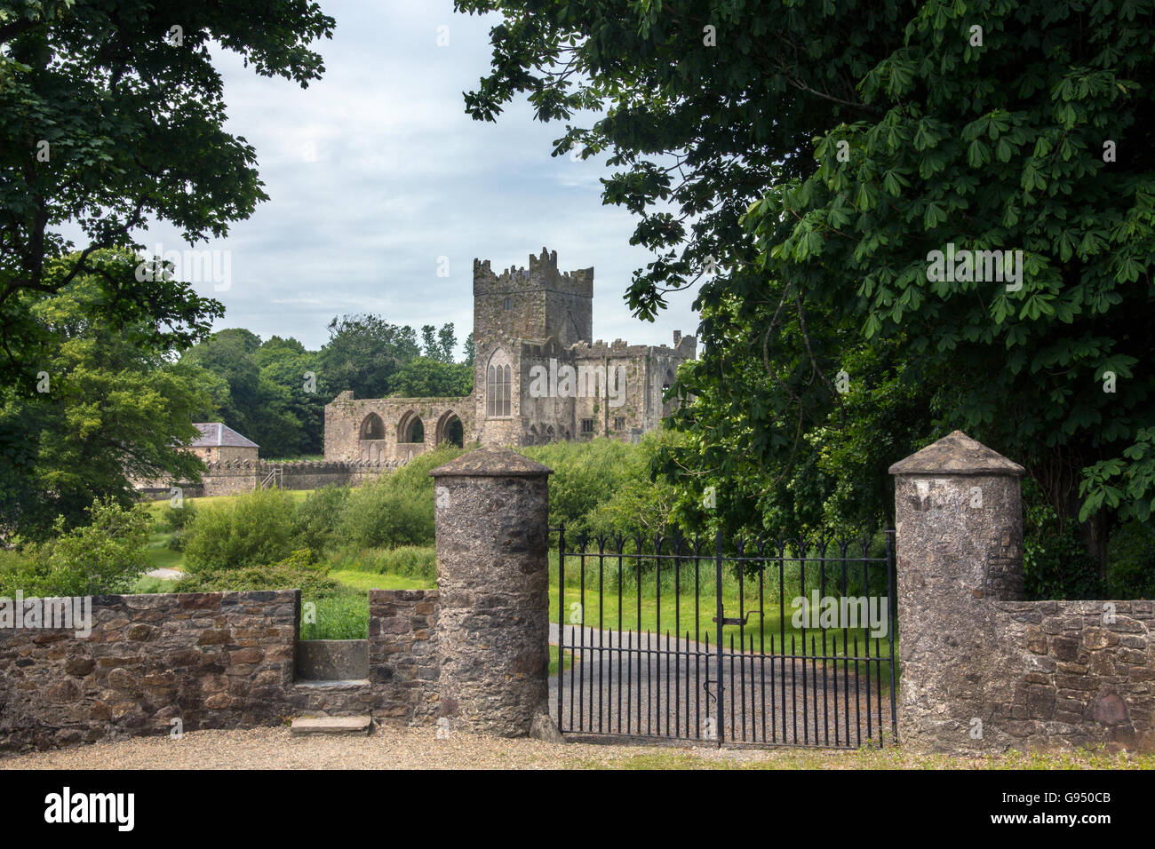 Tintern Abbey - die Ruinen der Zisterzienser-Abtei liegt auf der Halbinsel Hook, County Wexford, Irland. Stockfotohttps://www.alamy.de/image-license-details/?v=1https://www.alamy.de/stockfoto-tintern-abbey-die-ruinen-der-zisterzienser-abtei-liegt-auf-der-halbinsel-hook-county-wexford-irland-108904219.html
RMG950CB–Tintern Abbey - die Ruinen der Zisterzienser-Abtei liegt auf der Halbinsel Hook, County Wexford, Irland.
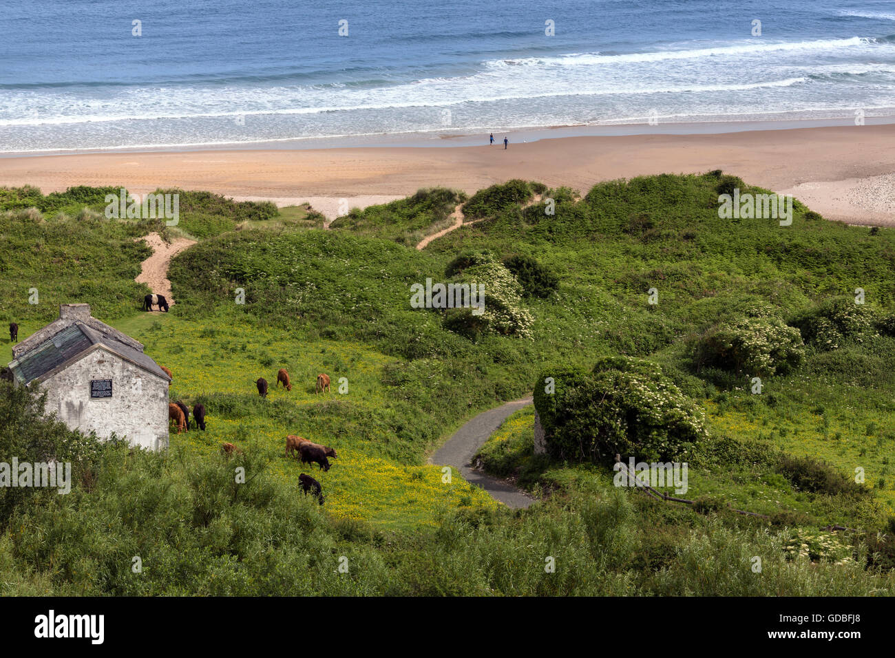 White Park Bay in der Nähe von Ballycastle, County Antrim an der Küste Nordirlands. Stockfotohttps://www.alamy.de/image-license-details/?v=1https://www.alamy.de/stockfoto-white-park-bay-in-der-nahe-von-ballycastle-county-antrim-an-der-kuste-nordirlands-111506480.html
RFGDBFJ8–White Park Bay in der Nähe von Ballycastle, County Antrim an der Küste Nordirlands.
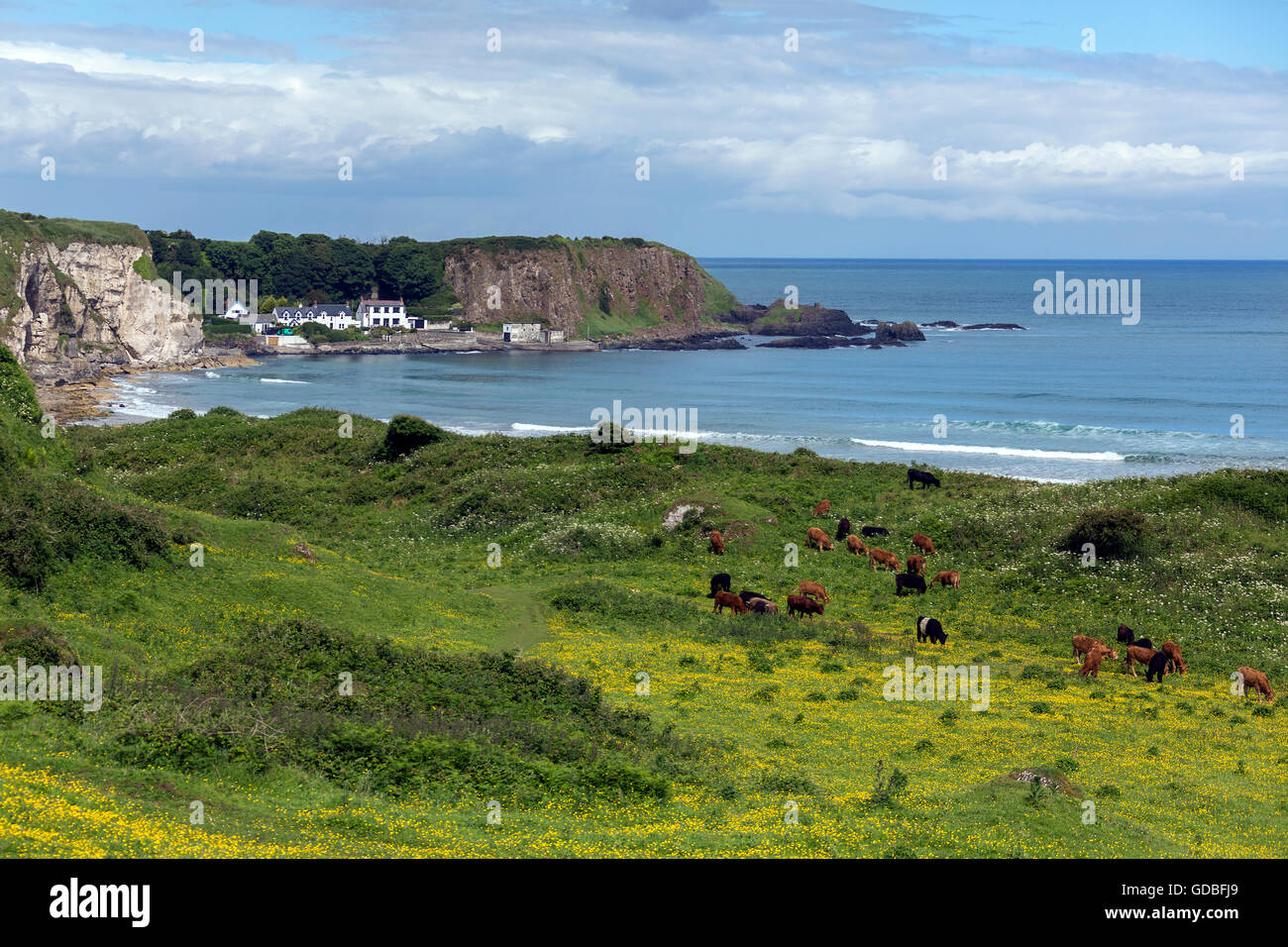 White Park Bay in der Nähe von Ballycastle, County Antrim an der Küste Nordirlands. Stockfotohttps://www.alamy.de/image-license-details/?v=1https://www.alamy.de/stockfoto-white-park-bay-in-der-nahe-von-ballycastle-county-antrim-an-der-kuste-nordirlands-111506481.html
RFGDBFJ9–White Park Bay in der Nähe von Ballycastle, County Antrim an der Küste Nordirlands.
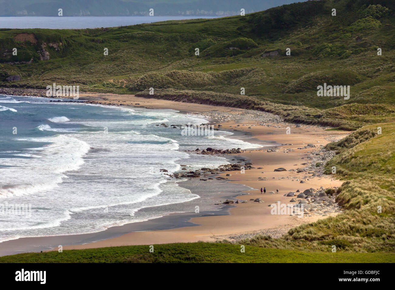 White Park Bay in der Nähe von Ballycastle, County Antrim an der Küste Nordirlands. Stockfotohttps://www.alamy.de/image-license-details/?v=1https://www.alamy.de/stockfoto-white-park-bay-in-der-nahe-von-ballycastle-county-antrim-an-der-kuste-nordirlands-111506484.html
RFGDBFJC–White Park Bay in der Nähe von Ballycastle, County Antrim an der Küste Nordirlands.
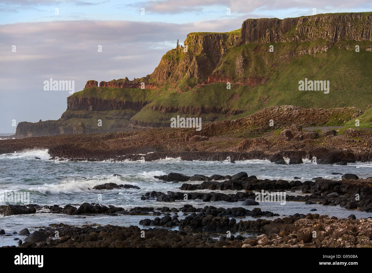 Die Giants Causeway in der Grafschaft Antrim in Nordirland. Ein UNESCO-Weltkulturerbe. Stockfotohttps://www.alamy.de/image-license-details/?v=1https://www.alamy.de/stockfoto-die-giants-causeway-in-der-grafschaft-antrim-in-nordirland-ein-unesco-weltkulturerbe-108904190.html
RFG950BA–Die Giants Causeway in der Grafschaft Antrim in Nordirland. Ein UNESCO-Weltkulturerbe.
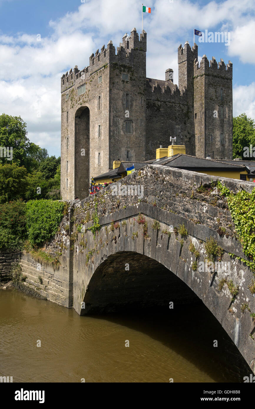 Bunratty Castle ist ein großes 15. Jahrhundert Turmhaus im County Clare in Irland. Stockfotohttps://www.alamy.de/image-license-details/?v=1https://www.alamy.de/stockfoto-bunratty-castle-ist-ein-grosses-15-jahrhundert-turmhaus-im-county-clare-in-irland-111632508.html
RMGDH8B8–Bunratty Castle ist ein großes 15. Jahrhundert Turmhaus im County Clare in Irland.
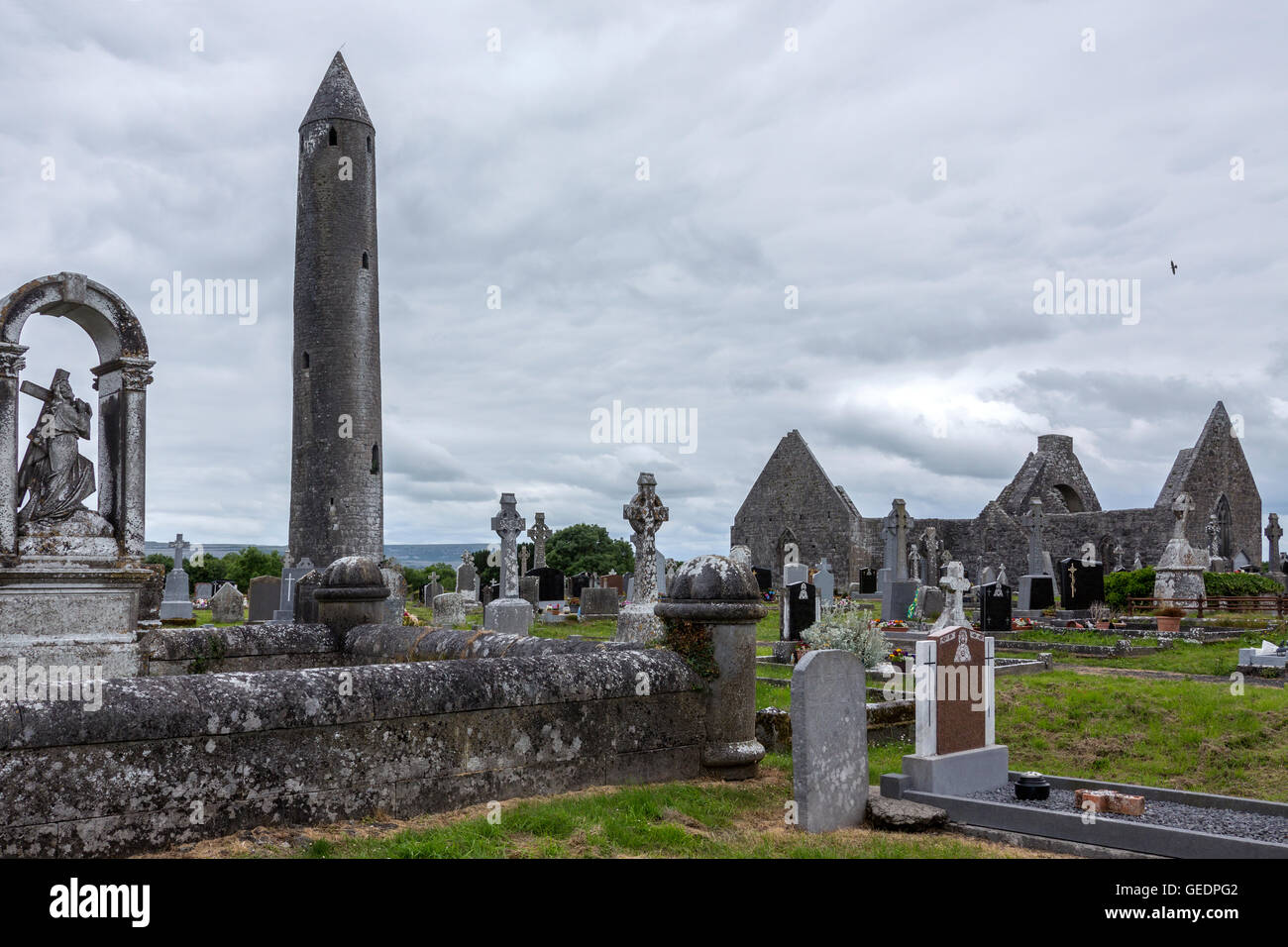 Kilmacduagh Kloster und Rundturm - einer zerstörten Abtei in der Nähe der Stadt Gort in County Galway, Irland. Stockfotohttps://www.alamy.de/image-license-details/?v=1https://www.alamy.de/stockfoto-kilmacduagh-kloster-und-rundturm-einer-zerstorten-abtei-in-der-nahe-der-stadt-gort-in-county-galway-irland-112170466.html
RFGEDPG2–Kilmacduagh Kloster und Rundturm - einer zerstörten Abtei in der Nähe der Stadt Gort in County Galway, Irland.
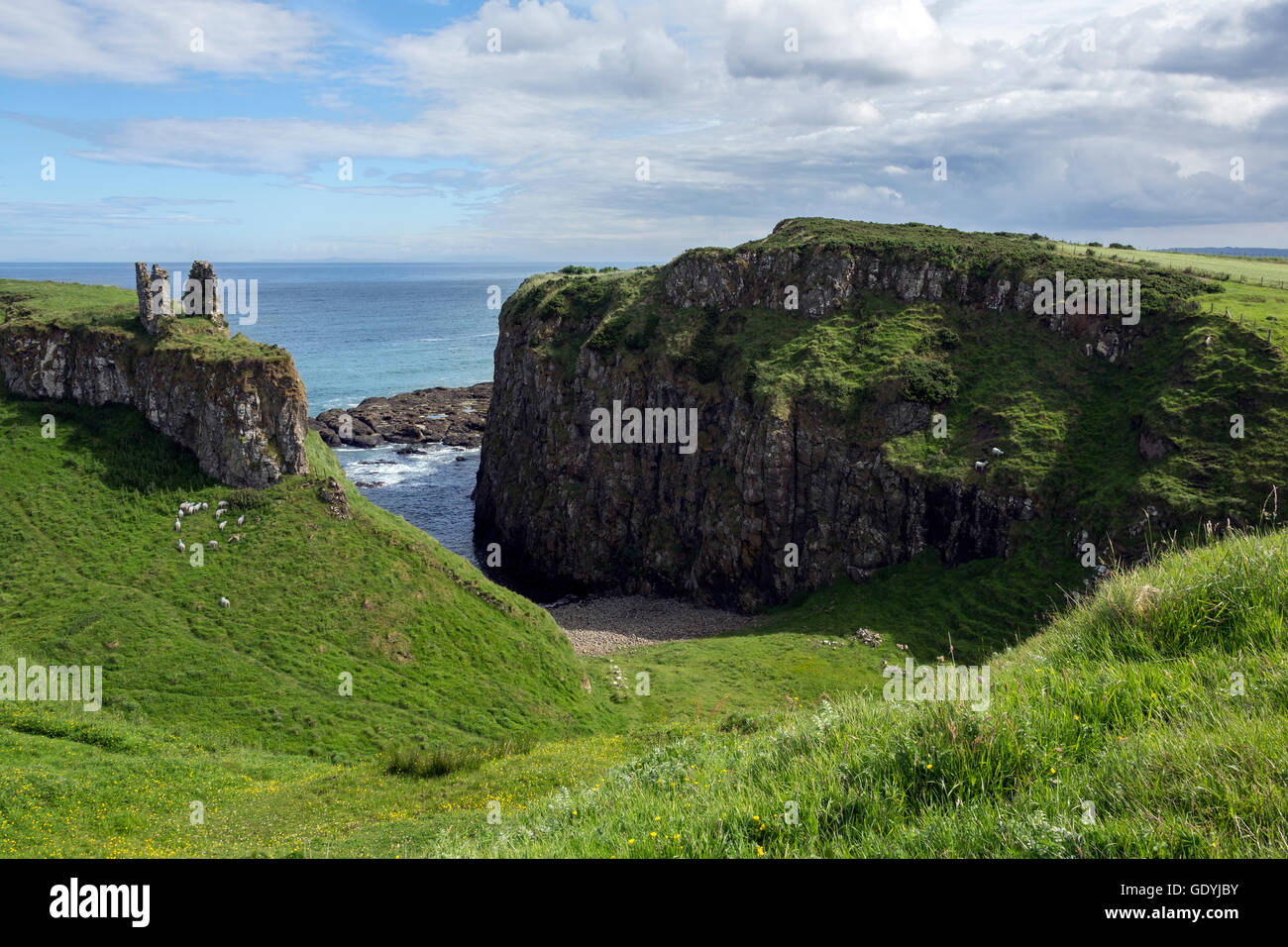 Dunseverick Castle im County Antrim, Nordirland. In der Nähe des kleinen Dorfes Dunseverick und den Giant's Causeway. D Stockfotohttps://www.alamy.de/image-license-details/?v=1https://www.alamy.de/stockfoto-dunseverick-castle-im-county-antrim-nordirland-in-der-nahe-des-kleinen-dorfes-dunseverick-und-den-giants-causeway-d-111859887.html
RFGDYJBY–Dunseverick Castle im County Antrim, Nordirland. In der Nähe des kleinen Dorfes Dunseverick und den Giant's Causeway. D
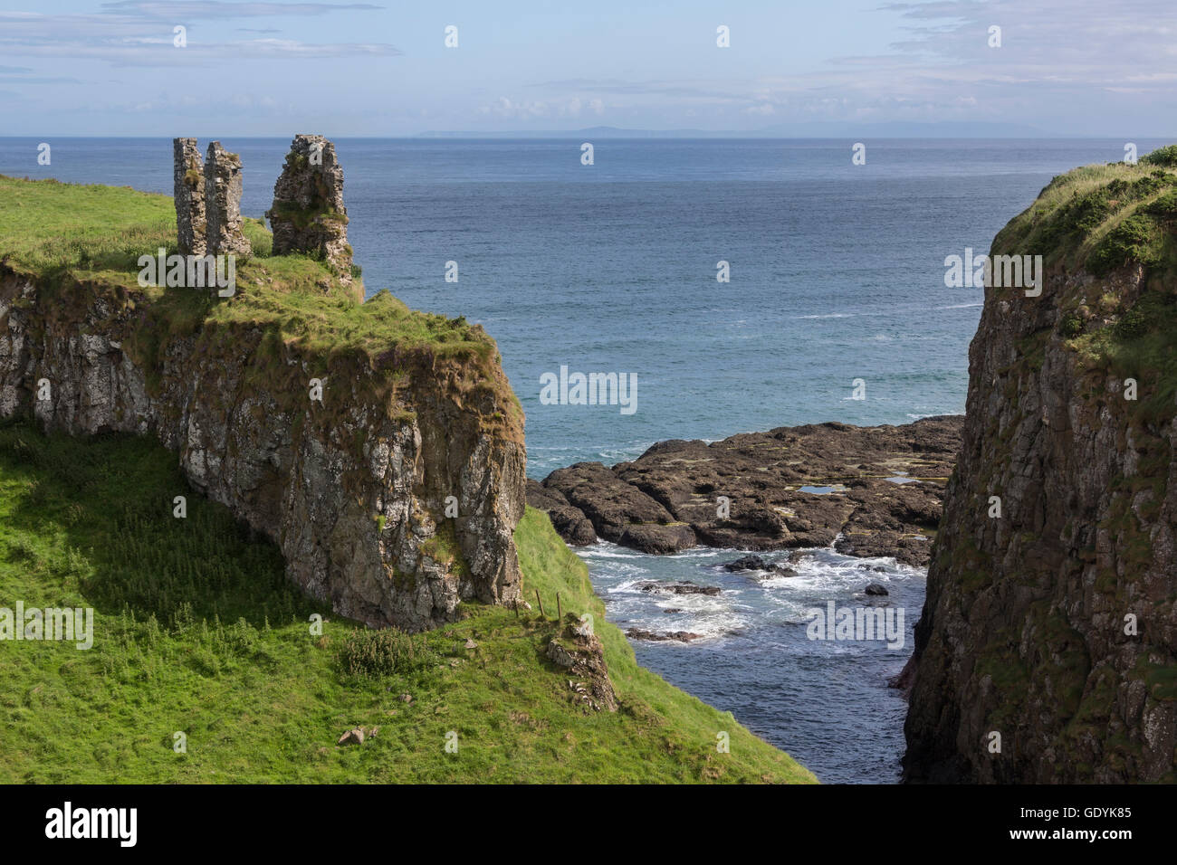 Dunseverick Castle im County Antrim, Nordirland. In der Nähe des kleinen Dorfes Dunseverick und den Giant's Causeway. D Stockfotohttps://www.alamy.de/image-license-details/?v=1https://www.alamy.de/stockfoto-dunseverick-castle-im-county-antrim-nordirland-in-der-nahe-des-kleinen-dorfes-dunseverick-und-den-giants-causeway-d-111860565.html
RFGDYK85–Dunseverick Castle im County Antrim, Nordirland. In der Nähe des kleinen Dorfes Dunseverick und den Giant's Causeway. D
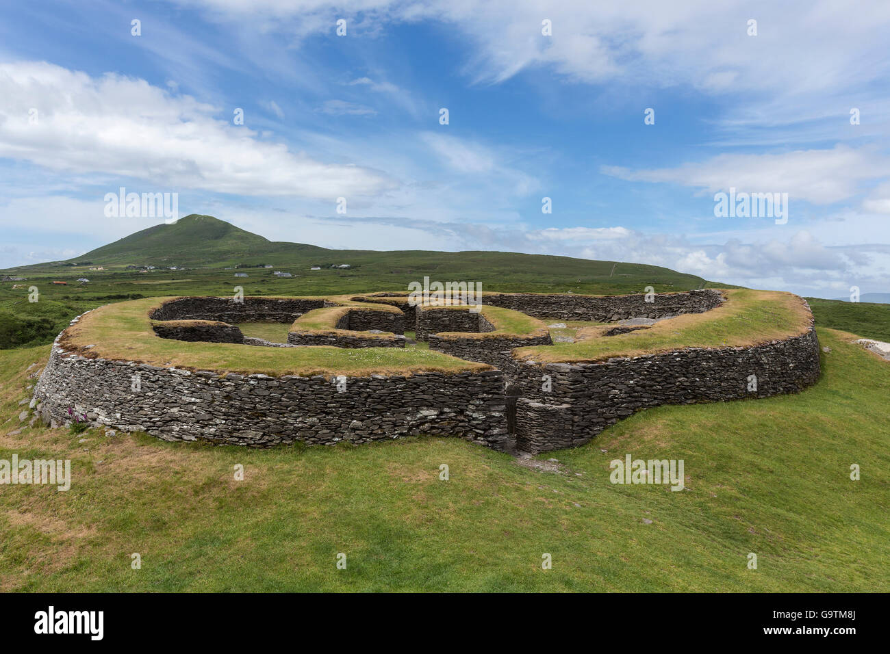 Leacanabuile Stone Fort in der Nähe von Cahirsiveen im Südwesten Irlands. Das Steinkastell oder Cashel entstand im 9. oder 10. Jahrhundert eine Stockfotohttps://www.alamy.de/image-license-details/?v=1https://www.alamy.de/stockfoto-leacanabuile-stone-fort-in-der-nahe-von-cahirsiveen-im-sudwesten-irlands-das-steinkastell-oder-cashel-entstand-im-9-oder-10-jahrhundert-eine-109336882.html
RFG9TM8J–Leacanabuile Stone Fort in der Nähe von Cahirsiveen im Südwesten Irlands. Das Steinkastell oder Cashel entstand im 9. oder 10. Jahrhundert eine
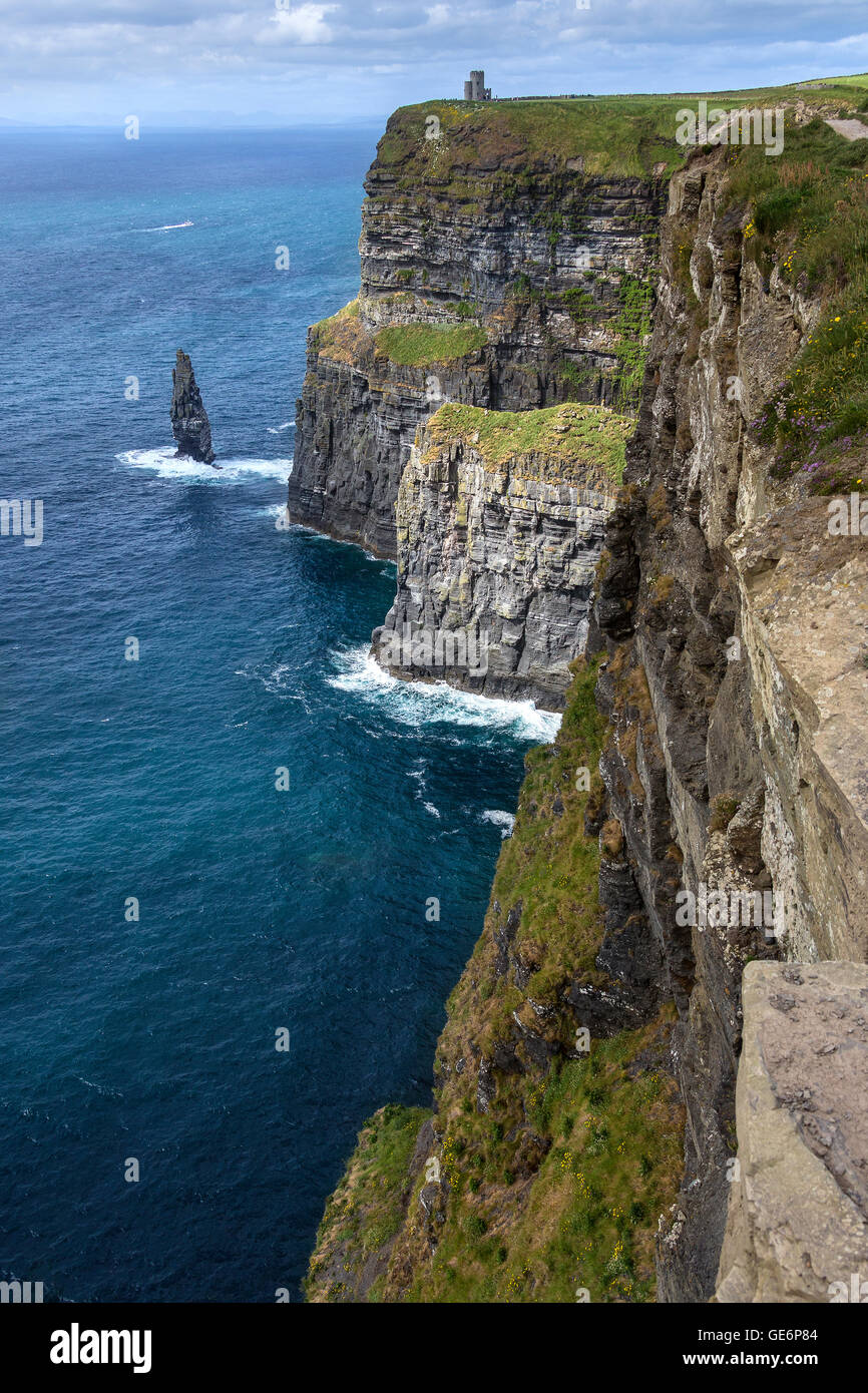 Die Klippen von Moher - befindet sich am südwestlichen Rand der Region Burren im County Clare, Irland. Sie ragen 120 Meter (390 Stockfotohttps://www.alamy.de/image-license-details/?v=1https://www.alamy.de/stockfoto-die-klippen-von-moher-befindet-sich-am-sudwestlichen-rand-der-region-burren-im-county-clare-irland-sie-ragen-120-meter-390-112016580.html
RFGE6P84–Die Klippen von Moher - befindet sich am südwestlichen Rand der Region Burren im County Clare, Irland. Sie ragen 120 Meter (390
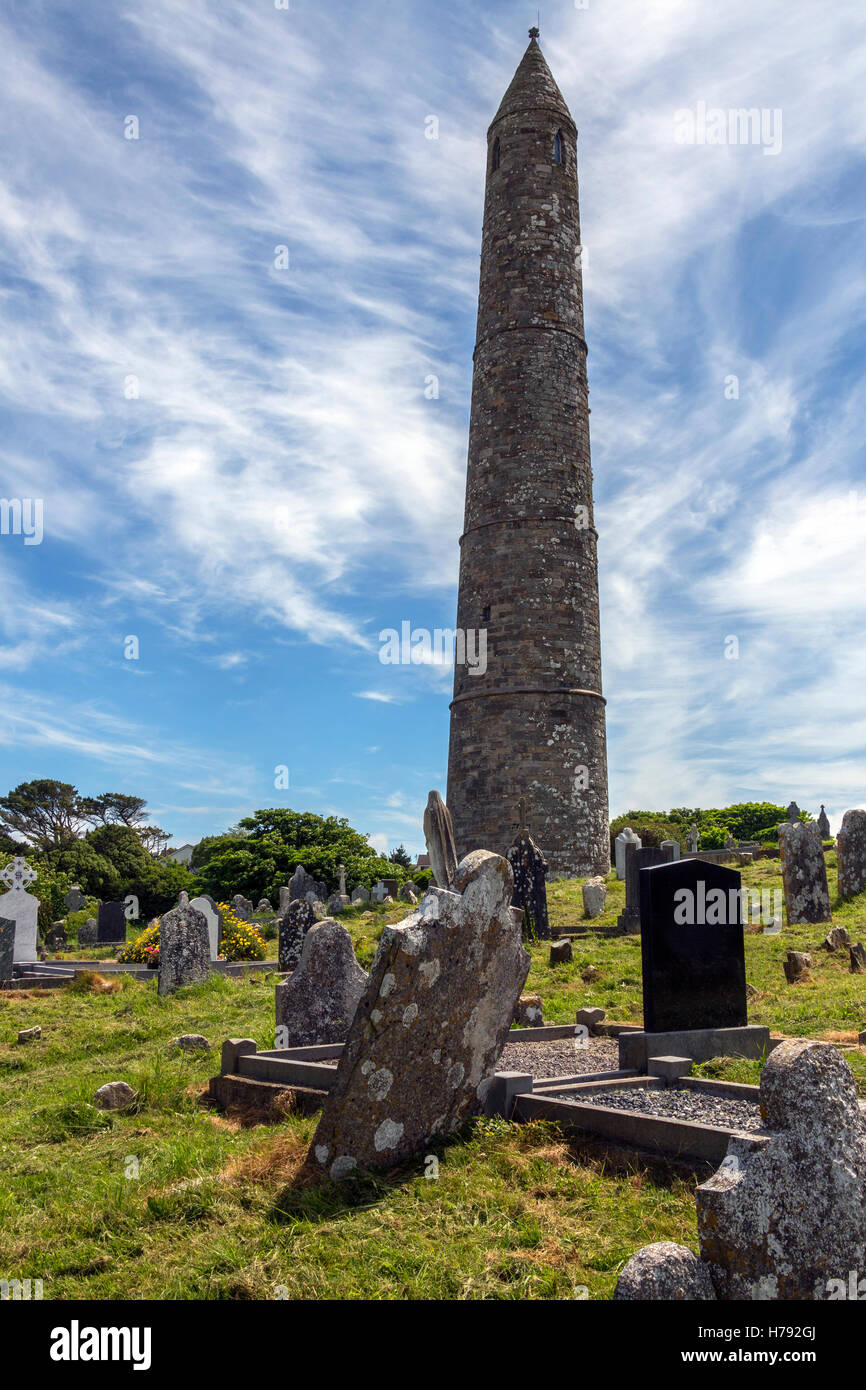 Die Ruinen von Ardmore Kathedrale und Rundturm, County Waterford in Irland. Auf einem Hügel über dem Dorf Ardm Stockfotohttps://www.alamy.de/image-license-details/?v=1https://www.alamy.de/stockfoto-die-ruinen-von-ardmore-kathedrale-und-rundturm-county-waterford-in-irland-auf-einem-hugel-uber-dem-dorf-ardm-124974770.html
RFH792GJ–Die Ruinen von Ardmore Kathedrale und Rundturm, County Waterford in Irland. Auf einem Hügel über dem Dorf Ardm
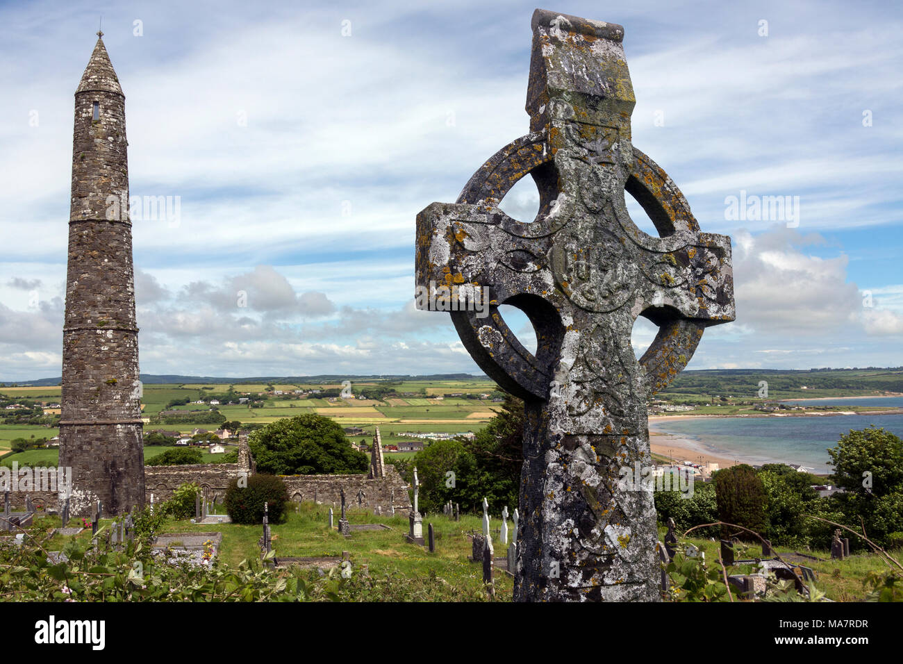 Die Ruinen von Ardmore Kathedrale und Rundturm, County Waterford in Irland. Stockfotohttps://www.alamy.de/image-license-details/?v=1https://www.alamy.de/die-ruinen-von-ardmore-kathedrale-und-rundturm-county-waterford-in-irland-image178422323.html
RFMA7RDR–Die Ruinen von Ardmore Kathedrale und Rundturm, County Waterford in Irland.
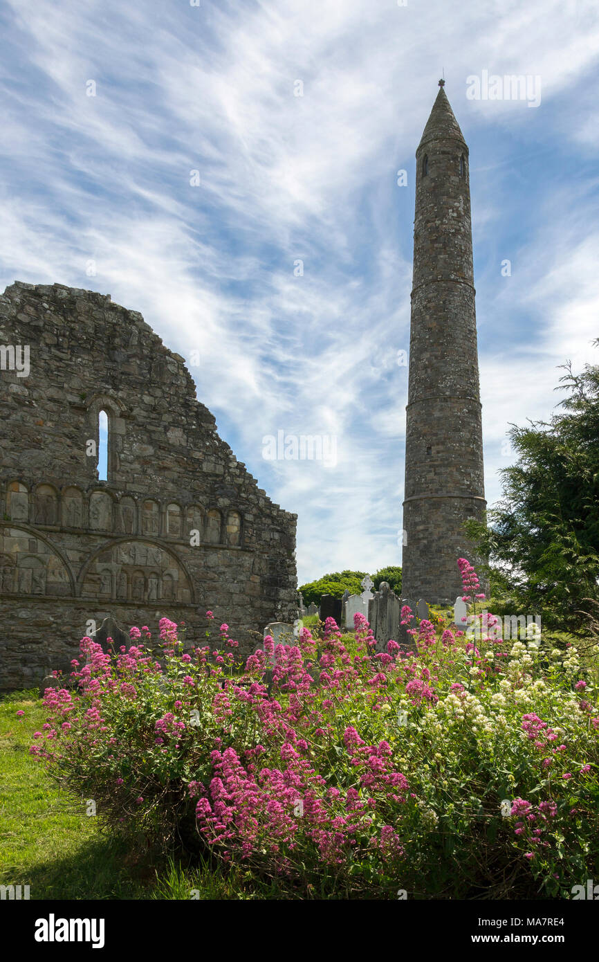 Die Ruinen von Ardmore Kathedrale und Rundturm, County Waterford in Irland. Stockfotohttps://www.alamy.de/image-license-details/?v=1https://www.alamy.de/die-ruinen-von-ardmore-kathedrale-und-rundturm-county-waterford-in-irland-image178422332.html
RFMA7RE4–Die Ruinen von Ardmore Kathedrale und Rundturm, County Waterford in Irland.
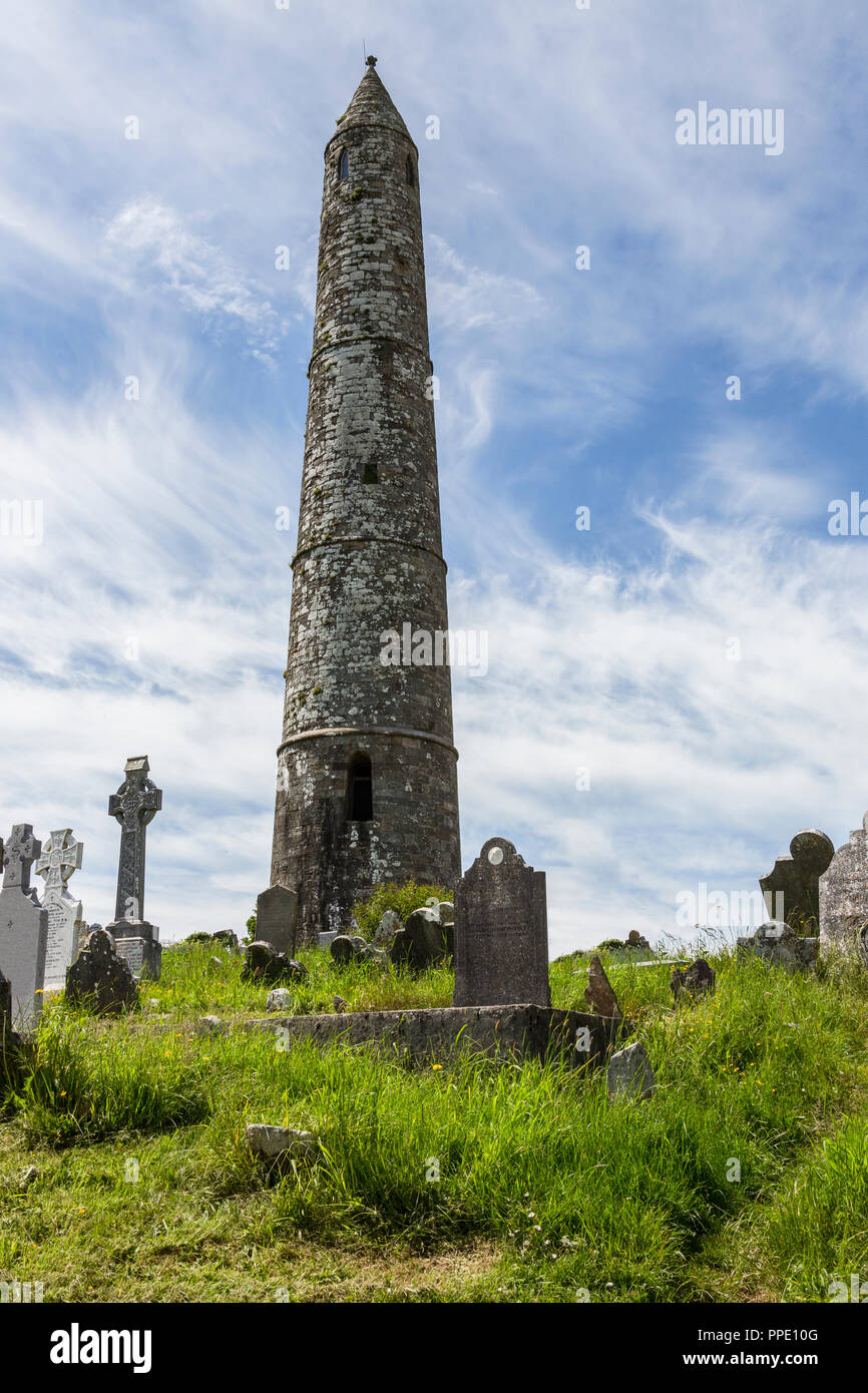 Der runde Turm in der Nähe der Ruinen von Ardmore Kathedrale, County Waterford in der Republik Irland. Stockfotohttps://www.alamy.de/image-license-details/?v=1https://www.alamy.de/der-runde-turm-in-der-nahe-der-ruinen-von-ardmore-kathedrale-county-waterford-in-der-republik-irland-image220354976.html
RFPPE10G–Der runde Turm in der Nähe der Ruinen von Ardmore Kathedrale, County Waterford in der Republik Irland.
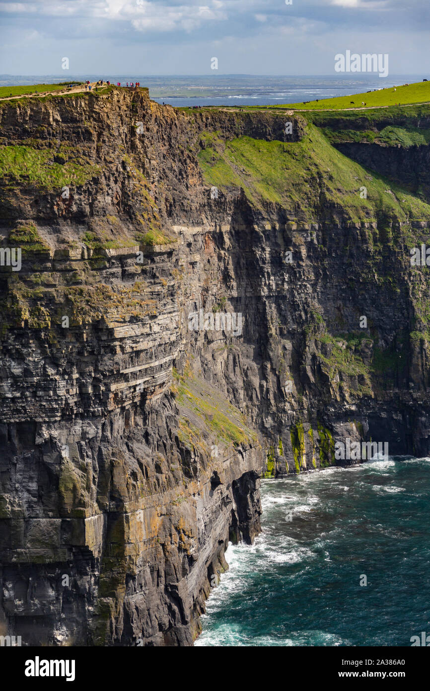 Die Cliffs of Moher, County Clare, Irland. Sie erreichen Ihre maximale Höhe von 214 m (702 ft) hier, Nördlich von O'Brien's Tower. Stockfotohttps://www.alamy.de/image-license-details/?v=1https://www.alamy.de/die-cliffs-of-moher-county-clare-irland-sie-erreichen-ihre-maximale-hohe-von-214-m-702-ft-hier-nordlich-von-obriens-tower-image329021560.html
RF2A386A0–Die Cliffs of Moher, County Clare, Irland. Sie erreichen Ihre maximale Höhe von 214 m (702 ft) hier, Nördlich von O'Brien's Tower.
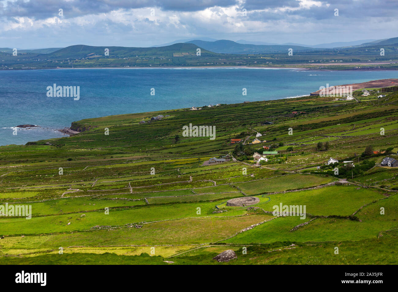 Malerische Küstenlandschaft am Ring of Kerry, ein Teil von den wilden Atlantik Art und Weise an der Westküste der Republik Irland. Stockfotohttps://www.alamy.de/image-license-details/?v=1https://www.alamy.de/malerische-kustenlandschaft-am-ring-of-kerry-ein-teil-von-den-wilden-atlantik-art-und-weise-an-der-westkuste-der-republik-irland-image328965275.html
RF2A35JFR–Malerische Küstenlandschaft am Ring of Kerry, ein Teil von den wilden Atlantik Art und Weise an der Westküste der Republik Irland.
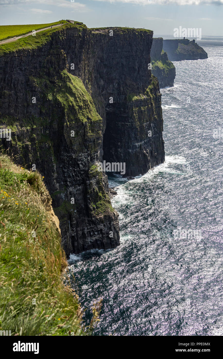 Die Klippen von Moher - am südwestlichen Rand der Region Burren im County Clare, Irland. Steigen Sie 120 m (390 ft) über dem Atlantik Stockfotohttps://www.alamy.de/image-license-details/?v=1https://www.alamy.de/die-klippen-von-moher-am-sudwestlichen-rand-der-region-burren-im-county-clare-irland-steigen-sie-120-m-390-ft-uber-dem-atlantik-image220354762.html
RFPPE0MX–Die Klippen von Moher - am südwestlichen Rand der Region Burren im County Clare, Irland. Steigen Sie 120 m (390 ft) über dem Atlantik
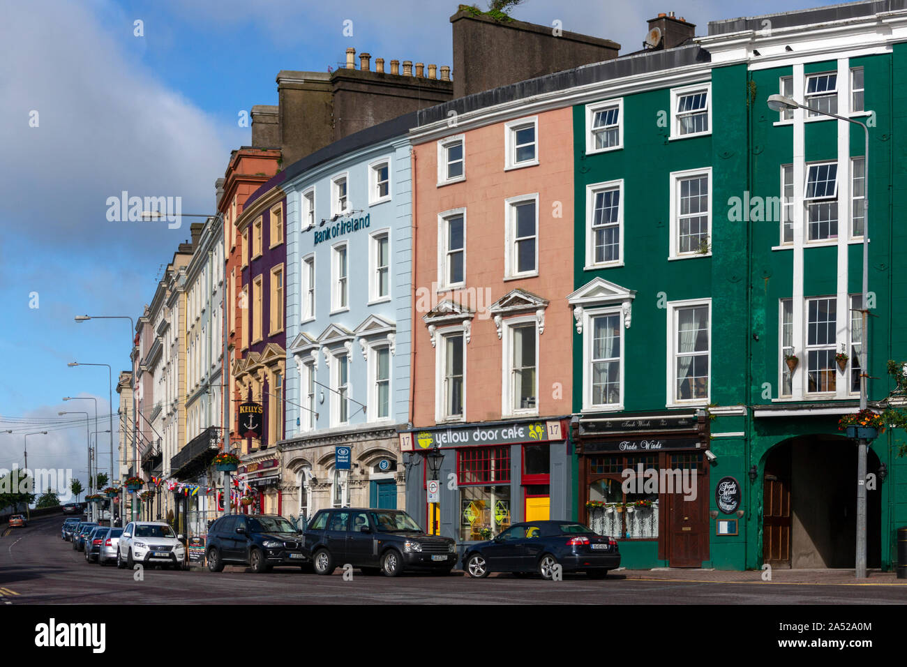 Cobh. Irland. 06.12.16. Die Stadt und den Hafen von Cobh (von 1849 bis 1920 bekannt als Queenstown) im County Cork, Republik Irland. Stockfotohttps://www.alamy.de/image-license-details/?v=1https://www.alamy.de/cobh-irland-061216-die-stadt-und-den-hafen-von-cobh-von-1849-bis-1920-bekannt-als-queenstown-im-county-cork-republik-irland-image330122036.html
RF2A52A0M–Cobh. Irland. 06.12.16. Die Stadt und den Hafen von Cobh (von 1849 bis 1920 bekannt als Queenstown) im County Cork, Republik Irland.
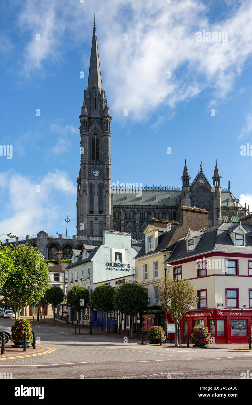 Cobh. Irland. 06.12.16. Die Hafenstadt Cobh (von 1849 bis 1920 bekannt als Queenstown) und die Kathedrale Kirche St. Colman, auch bekannt als Cobh Cathedr Stockfotohttps://www.alamy.de/image-license-details/?v=1https://www.alamy.de/cobh-irland-061216-die-hafenstadt-cobh-von-1849-bis-1920-bekannt-als-queenstown-und-die-kathedrale-kirche-st-colman-auch-bekannt-als-cobh-cathedr-image330122028.html
RF2A52A0C–Cobh. Irland. 06.12.16. Die Hafenstadt Cobh (von 1849 bis 1920 bekannt als Queenstown) und die Kathedrale Kirche St. Colman, auch bekannt als Cobh Cathedr
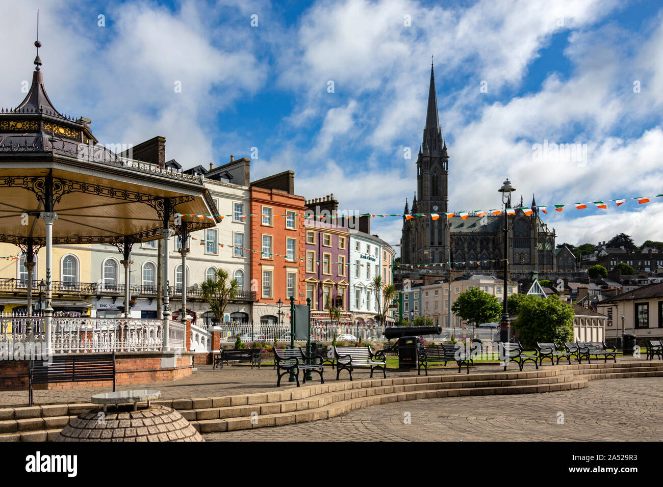 Cobh. Irland. 06.12.16. Die Hafenstadt Cobh (von 1849 bis 1920 bekannt als Queenstown) und die Kathedrale Kirche St. Colman, auch bekannt als Cobh Cathedr Stockfotohttps://www.alamy.de/image-license-details/?v=1https://www.alamy.de/cobh-irland-061216-die-hafenstadt-cobh-von-1849-bis-1920-bekannt-als-queenstown-und-die-kathedrale-kirche-st-colman-auch-bekannt-als-cobh-cathedr-image330121879.html
RF2A529R3–Cobh. Irland. 06.12.16. Die Hafenstadt Cobh (von 1849 bis 1920 bekannt als Queenstown) und die Kathedrale Kirche St. Colman, auch bekannt als Cobh Cathedr
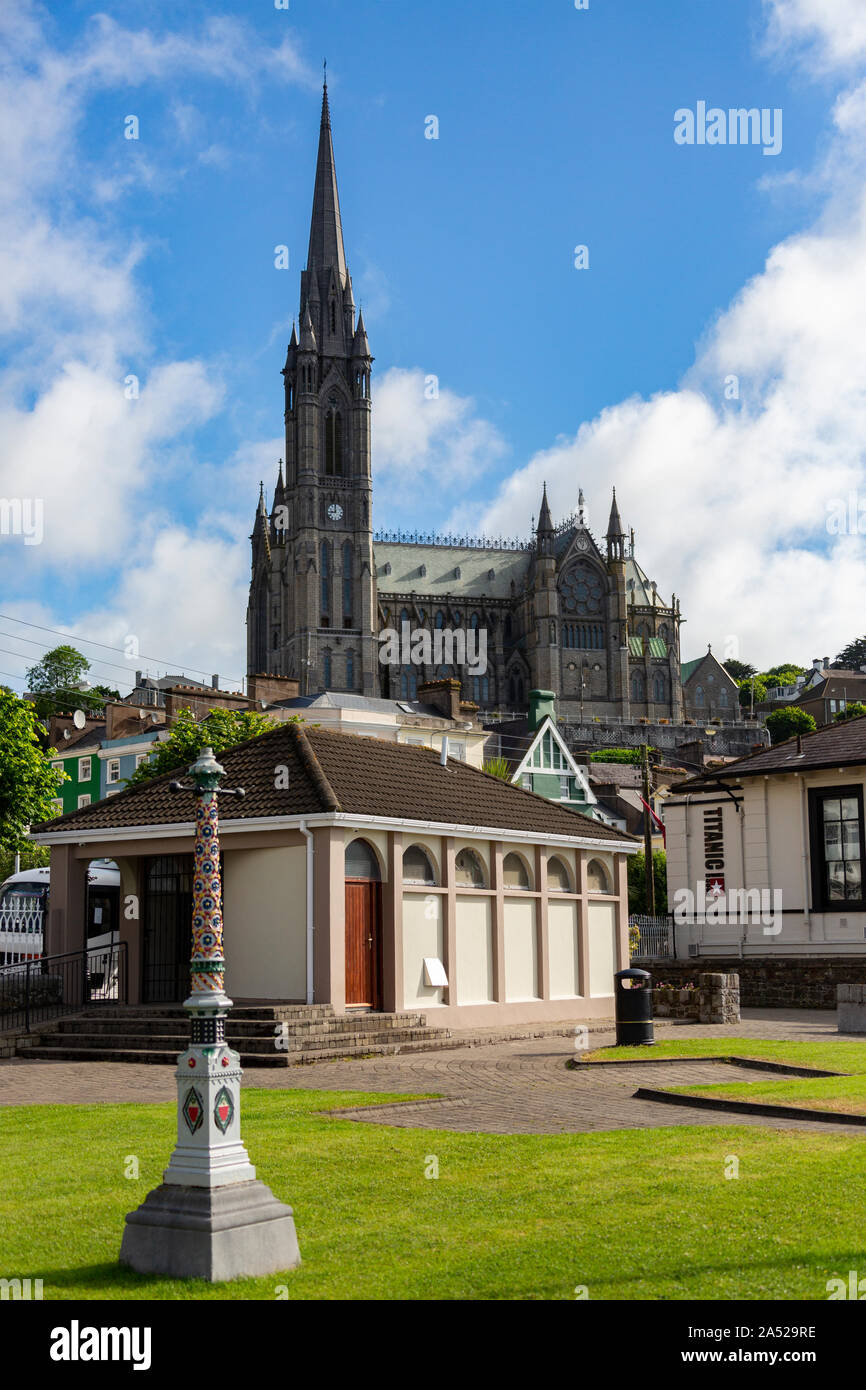 Cobh. Irland. 06.12.16. Die Hafenstadt Cobh (von 1849 bis 1920 bekannt als Queenstown) und die Kathedrale Kirche St. Colman, auch bekannt als Cobh Cathedr Stockfotohttps://www.alamy.de/image-license-details/?v=1https://www.alamy.de/cobh-irland-061216-die-hafenstadt-cobh-von-1849-bis-1920-bekannt-als-queenstown-und-die-kathedrale-kirche-st-colman-auch-bekannt-als-cobh-cathedr-image330121890.html
RF2A529RE–Cobh. Irland. 06.12.16. Die Hafenstadt Cobh (von 1849 bis 1920 bekannt als Queenstown) und die Kathedrale Kirche St. Colman, auch bekannt als Cobh Cathedr
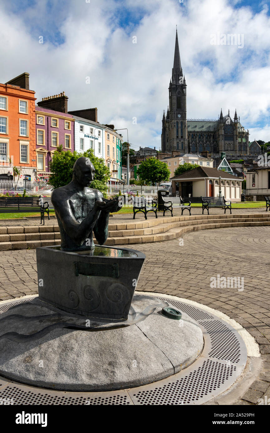 Cobh. Irland. 06.12.16. Der Navigator Skulptur von Maria Gregoriy und die Kathedrale Kirche St. Colman, auch als Cobh Kathedrale in der Stadt C bekannt Stockfotohttps://www.alamy.de/image-license-details/?v=1https://www.alamy.de/cobh-irland-061216-der-navigator-skulptur-von-maria-gregoriy-und-die-kathedrale-kirche-st-colman-auch-als-cobh-kathedrale-in-der-stadt-c-bekannt-image330121865.html
RF2A529PH–Cobh. Irland. 06.12.16. Der Navigator Skulptur von Maria Gregoriy und die Kathedrale Kirche St. Colman, auch als Cobh Kathedrale in der Stadt C bekannt
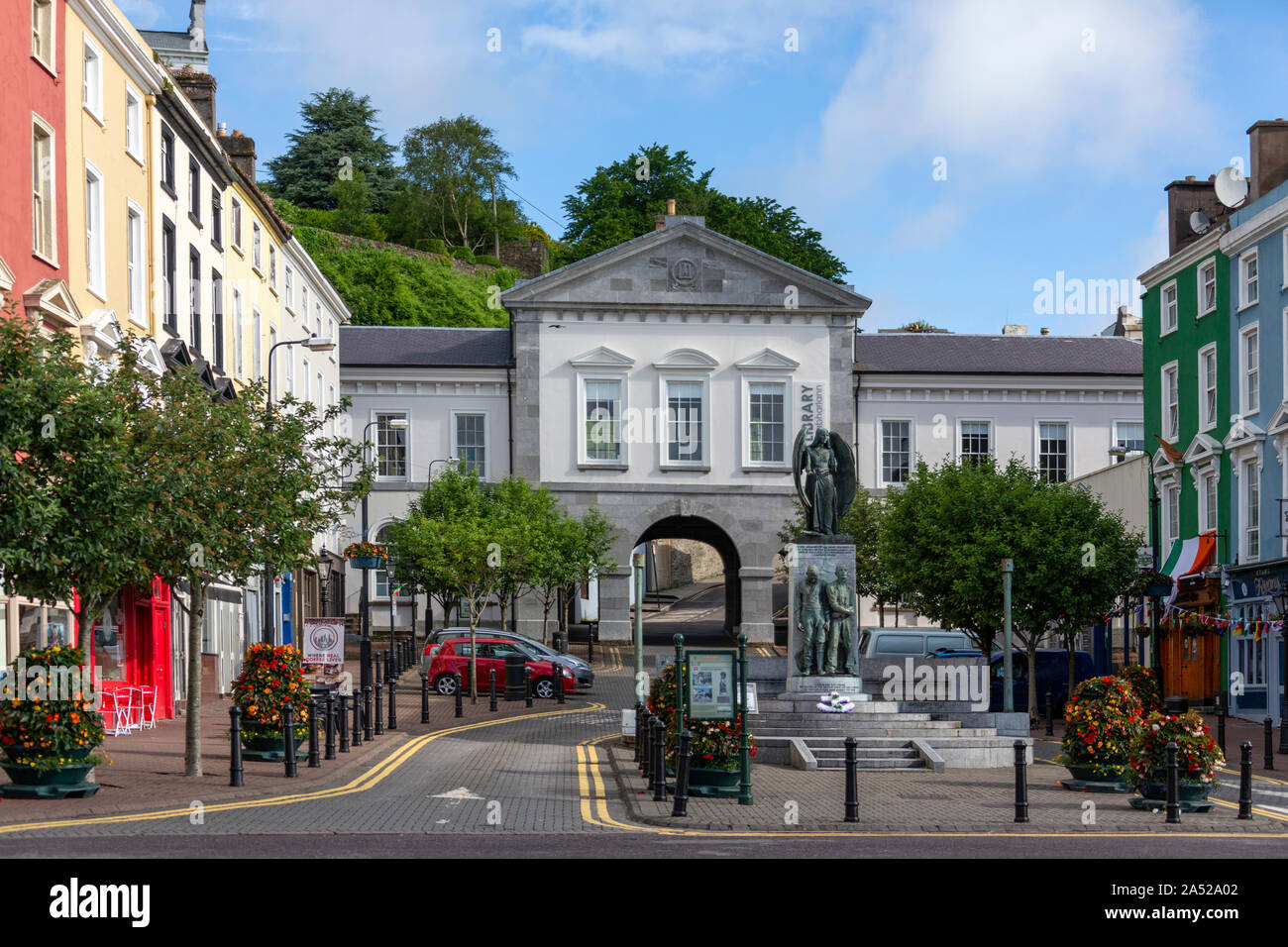 Cobh. Irland. 06.12.16. Den Stadtplatz und die Bibliothek in der Hafenstadt Cobh (von 1849 bis 1920 bekannt als Queenstown) in der Republik Irland. Stockfotohttps://www.alamy.de/image-license-details/?v=1https://www.alamy.de/cobh-irland-061216-den-stadtplatz-und-die-bibliothek-in-der-hafenstadt-cobh-von-1849-bis-1920-bekannt-als-queenstown-in-der-republik-irland-image330122018.html
RF2A52A02–Cobh. Irland. 06.12.16. Den Stadtplatz und die Bibliothek in der Hafenstadt Cobh (von 1849 bis 1920 bekannt als Queenstown) in der Republik Irland.
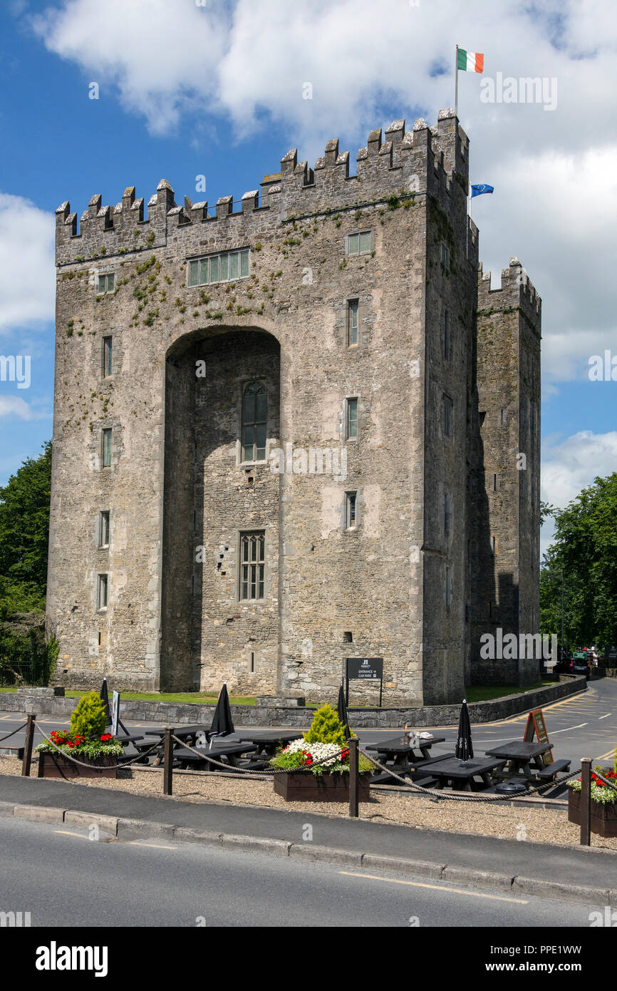 Bunratty Castle ist eine große aus dem 15. Jahrhundert und das Tower House in der Grafschaft Clare in der Republik Irland. Es mitten in Bunratty Village befindet, die c Stockfotohttps://www.alamy.de/image-license-details/?v=1https://www.alamy.de/bunratty-castle-ist-eine-grosse-aus-dem-15-jahrhundert-und-das-tower-house-in-der-grafschaft-clare-in-der-republik-irland-es-mitten-in-bunratty-village-befindet-die-c-image220355685.html
RMPPE1WW–Bunratty Castle ist eine große aus dem 15. Jahrhundert und das Tower House in der Grafschaft Clare in der Republik Irland. Es mitten in Bunratty Village befindet, die c
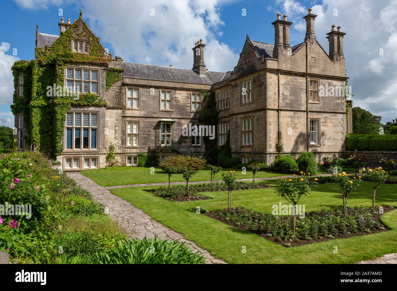 Killarney. Irland. 06.15.16. Muckross House - auf der Halbinsel zwischen Muckross Muckross Lake und Lough Leane, zwei der Seen von Killarney, 6 km entfernt Stockfotohttps://www.alamy.de/image-license-details/?v=1https://www.alamy.de/killarney-irland-061516-muckross-house-auf-der-halbinsel-zwischen-muckross-muckross-lake-und-lough-leane-zwei-der-seen-von-killarney-6-km-entfernt-image329003037.html
RF2A37AMD–Killarney. Irland. 06.15.16. Muckross House - auf der Halbinsel zwischen Muckross Muckross Lake und Lough Leane, zwei der Seen von Killarney, 6 km entfernt
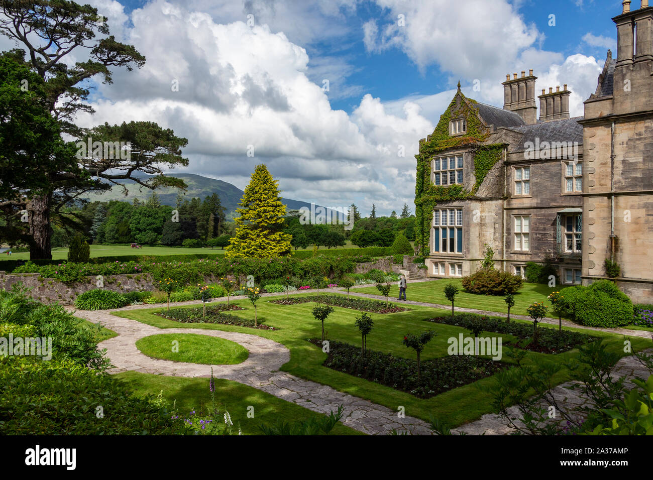 Killarney. Irland. 06.15.16. Muckross House - auf der Halbinsel zwischen Muckross Muckross Lake und Lough Leane, zwei der Seen von Killarney, 6 km entfernt Stockfotohttps://www.alamy.de/image-license-details/?v=1https://www.alamy.de/killarney-irland-061516-muckross-house-auf-der-halbinsel-zwischen-muckross-muckross-lake-und-lough-leane-zwei-der-seen-von-killarney-6-km-entfernt-image329003046.html
RF2A37AMP–Killarney. Irland. 06.15.16. Muckross House - auf der Halbinsel zwischen Muckross Muckross Lake und Lough Leane, zwei der Seen von Killarney, 6 km entfernt
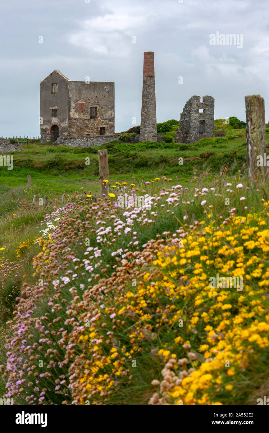 Ruinen einer alten Kupfermine Motor Haus auf dem Kupfer Küste auf den wilden Atlantik, in der Nähe von Tankardstown an der Westküste der Republik Irland. Stockfotohttps://www.alamy.de/image-license-details/?v=1https://www.alamy.de/ruinen-einer-alten-kupfermine-motor-haus-auf-dem-kupfer-kuste-auf-den-wilden-atlantik-in-der-nahe-von-tankardstown-an-der-westkuste-der-republik-irland-image330181994.html
RF2A552E2–Ruinen einer alten Kupfermine Motor Haus auf dem Kupfer Küste auf den wilden Atlantik, in der Nähe von Tankardstown an der Westküste der Republik Irland.
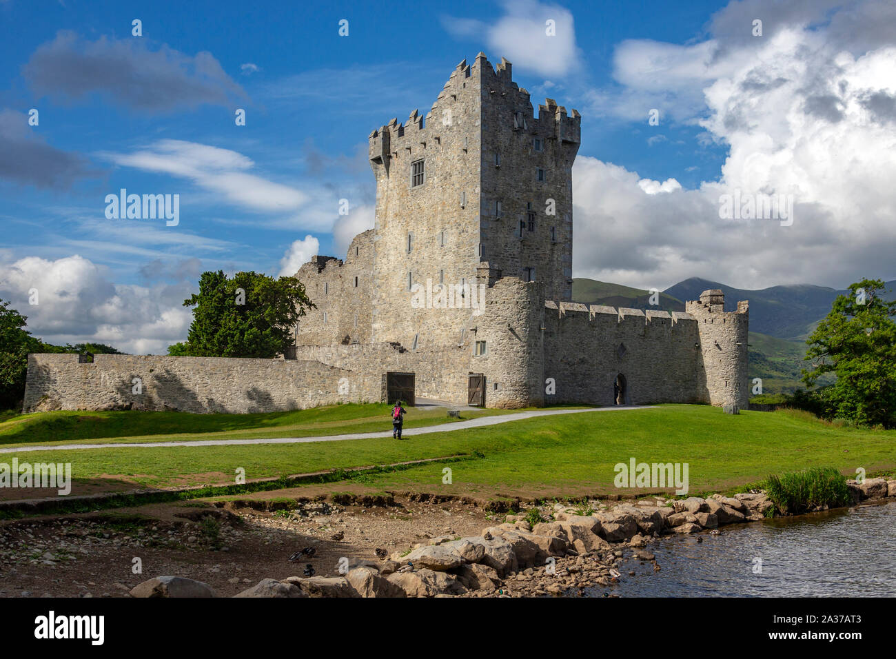 Killarney. Irland. 06.15.16. Ross Castle ist ein aus dem 15. Jahrhundert und das Tower House und am Rande des Lough Leane halten, im Nationalpark Killarney, County Kerry Stockfotohttps://www.alamy.de/image-license-details/?v=1https://www.alamy.de/killarney-irland-061516-ross-castle-ist-ein-aus-dem-15-jahrhundert-und-das-tower-house-und-am-rande-des-lough-leane-halten-im-nationalpark-killarney-county-kerry-image329003139.html
RF2A37AT3–Killarney. Irland. 06.15.16. Ross Castle ist ein aus dem 15. Jahrhundert und das Tower House und am Rande des Lough Leane halten, im Nationalpark Killarney, County Kerry
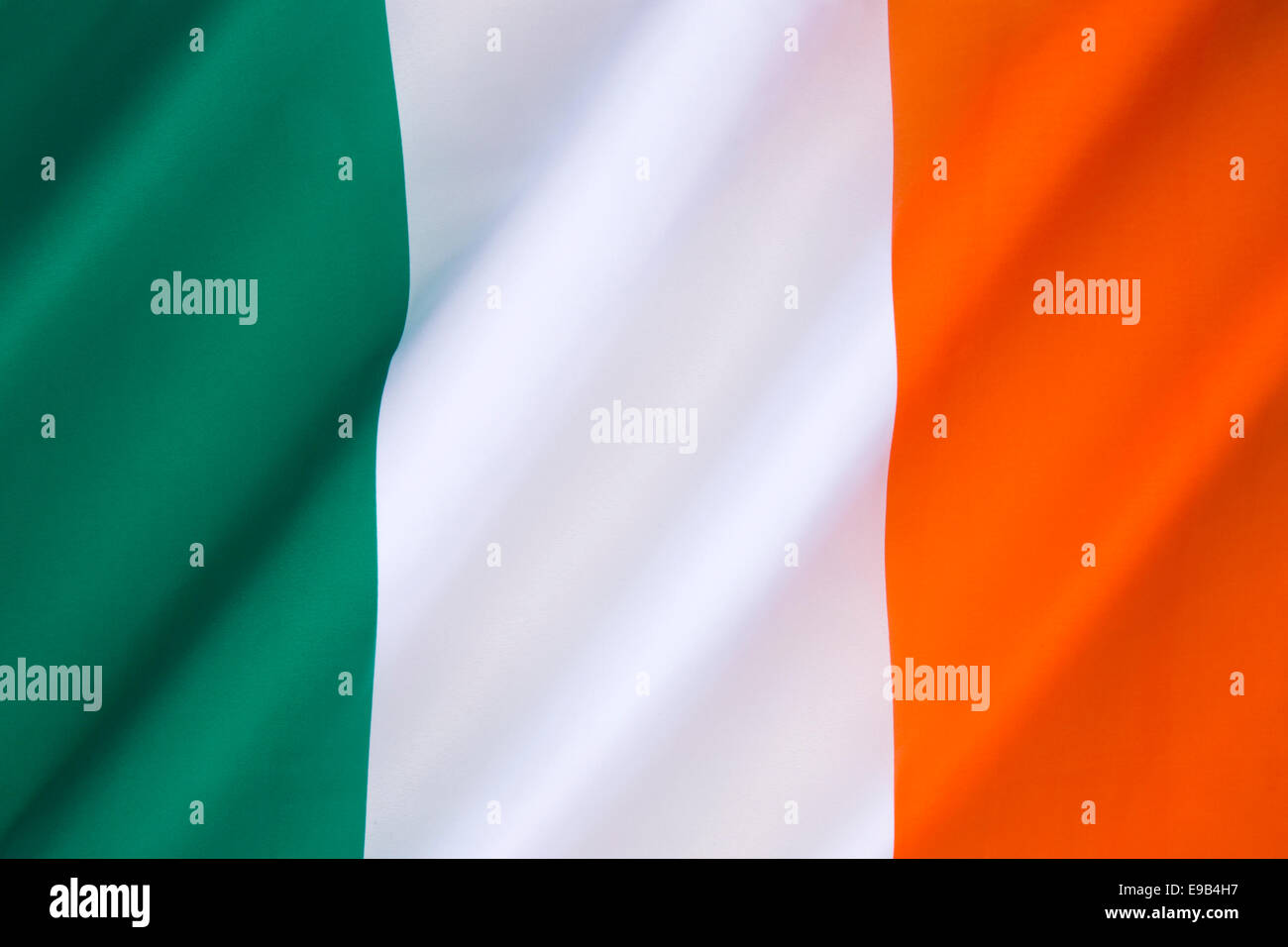 Flagge von Irland Stockfotohttps://www.alamy.de/image-license-details/?v=1https://www.alamy.de/stockfoto-flagge-von-irland-74618467.html
RFE9B4H7–Flagge von Irland
 Nationalflagge von Irland Stockfotohttps://www.alamy.de/image-license-details/?v=1https://www.alamy.de/nationalflagge-von-irland-image67291003.html
RFDWDAA3–Nationalflagge von Irland
 Die Nationalflagge von Irland Stockfotohttps://www.alamy.de/image-license-details/?v=1https://www.alamy.de/die-nationalflagge-von-irland-image68817619.html
RFDYXWG3–Die Nationalflagge von Irland
 Flagge des Northern Ireland - Vereinigtes Königreich Stockfotohttps://www.alamy.de/image-license-details/?v=1https://www.alamy.de/stockfoto-flagge-des-northern-ireland-vereinigtes-konigreich-74619414.html
RFE9B5R2–Flagge des Northern Ireland - Vereinigtes Königreich
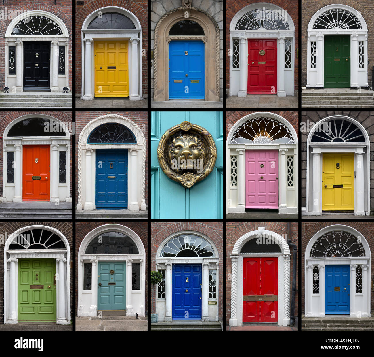 Eine Auswahl an Türen von Dublin in Irland. Stockfotohttps://www.alamy.de/image-license-details/?v=1https://www.alamy.de/stockfoto-eine-auswahl-an-turen-von-dublin-in-irland-123327658.html
RMH4J1K6–Eine Auswahl an Türen von Dublin in Irland.
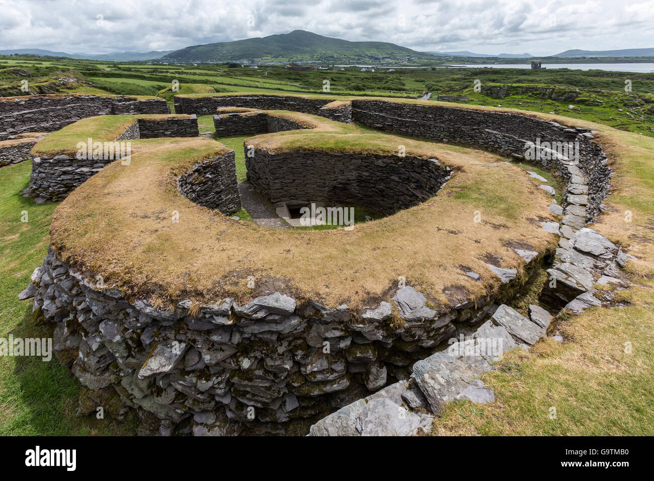 Leacanabuile Stone Fort in der Nähe von Cahirsiveen im Südwesten Irlands. Stockfotohttps://www.alamy.de/image-license-details/?v=1https://www.alamy.de/stockfoto-leacanabuile-stone-fort-in-der-nahe-von-cahirsiveen-im-sudwesten-irlands-109336948.html
RFG9TMB0–Leacanabuile Stone Fort in der Nähe von Cahirsiveen im Südwesten Irlands.
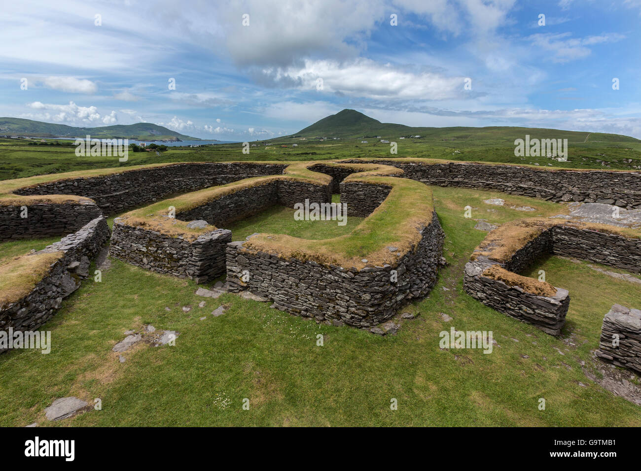 Leacanabuile Stone Fort in der Nähe von Cahirsiveen im Südwesten Irlands. Stockfotohttps://www.alamy.de/image-license-details/?v=1https://www.alamy.de/stockfoto-leacanabuile-stone-fort-in-der-nahe-von-cahirsiveen-im-sudwesten-irlands-109336949.html
RFG9TMB1–Leacanabuile Stone Fort in der Nähe von Cahirsiveen im Südwesten Irlands.
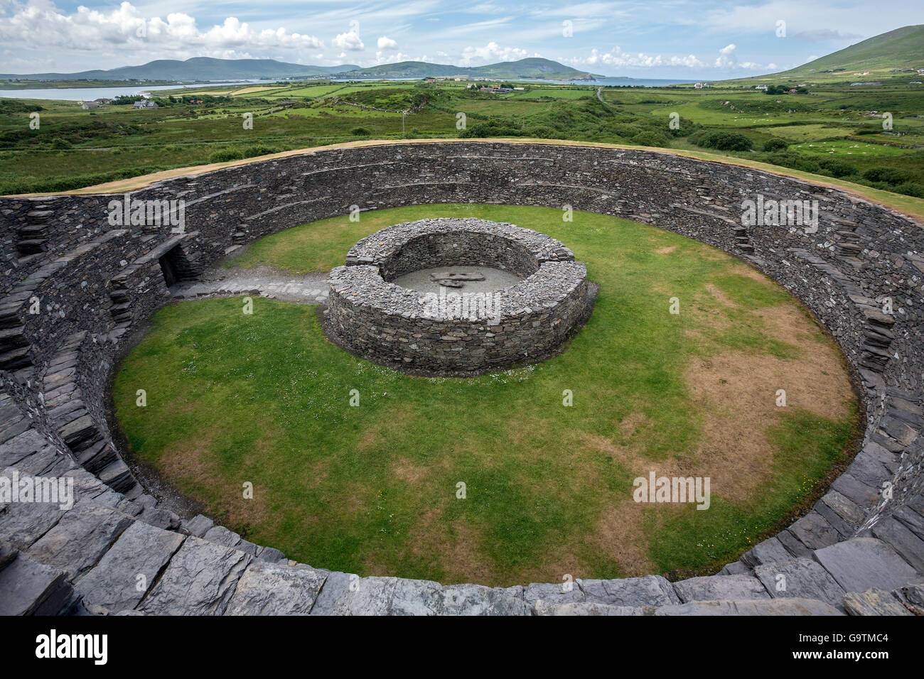 Cahergall Stone Fort in der Nähe von Cahirsiveen im Südwesten Irlands. Stockfotohttps://www.alamy.de/image-license-details/?v=1https://www.alamy.de/stockfoto-cahergall-stone-fort-in-der-nahe-von-cahirsiveen-im-sudwesten-irlands-109336980.html
RFG9TMC4–Cahergall Stone Fort in der Nähe von Cahirsiveen im Südwesten Irlands.
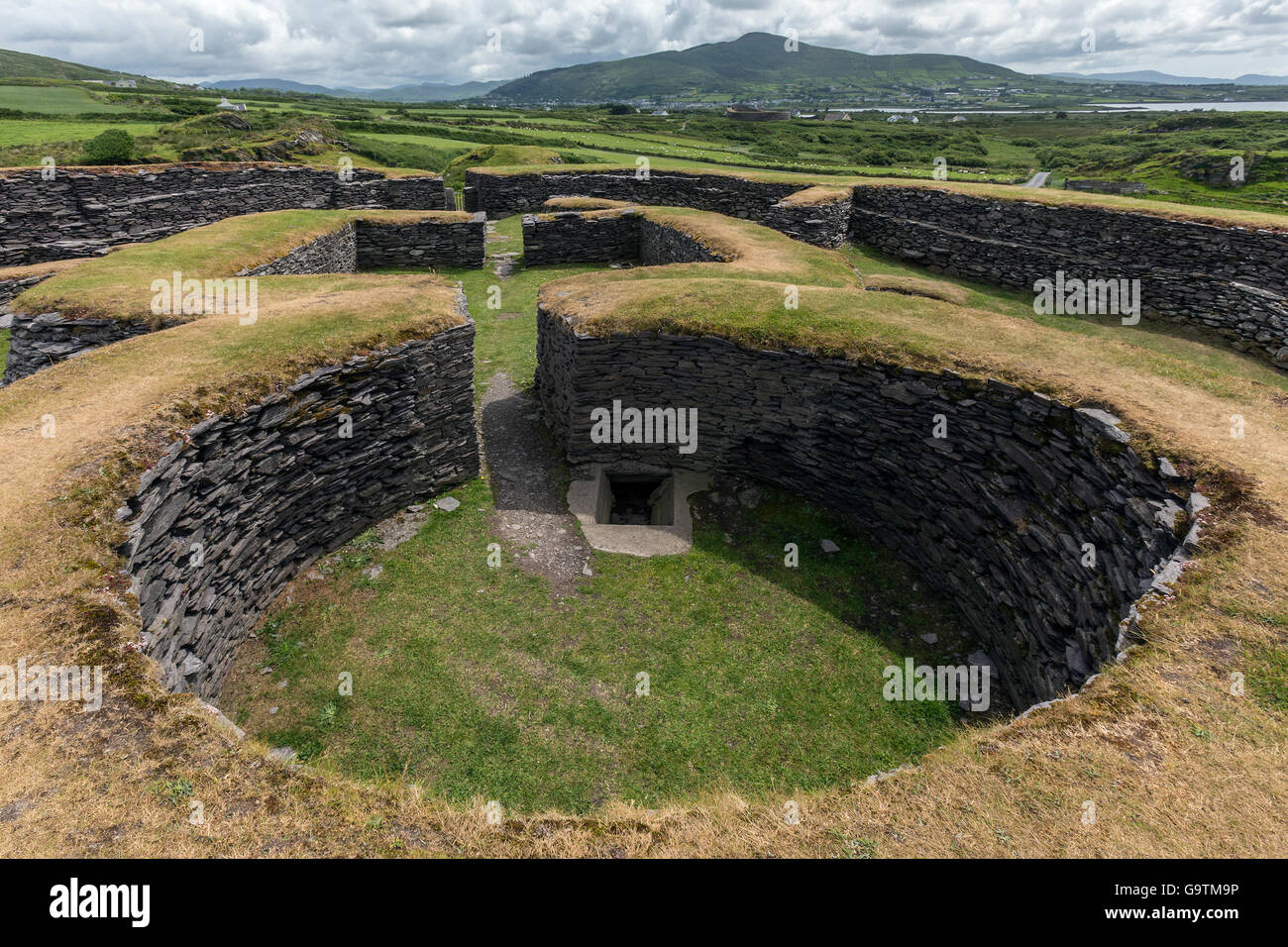 Leacanabuile Stone Fort in der Nähe von Cahirsiveen im Südwesten Irlands. Stockfotohttps://www.alamy.de/image-license-details/?v=1https://www.alamy.de/stockfoto-leacanabuile-stone-fort-in-der-nahe-von-cahirsiveen-im-sudwesten-irlands-109336914.html
RFG9TM9P–Leacanabuile Stone Fort in der Nähe von Cahirsiveen im Südwesten Irlands.
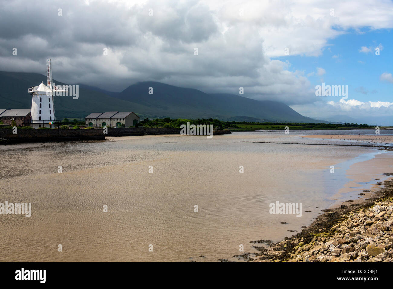 Die Blennerville Windmill in County Kerry in Irland. Stockfotohttps://www.alamy.de/image-license-details/?v=1https://www.alamy.de/stockfoto-die-blennerville-windmill-in-county-kerry-in-irland-111506473.html
RFGDBFJ1–Die Blennerville Windmill in County Kerry in Irland.
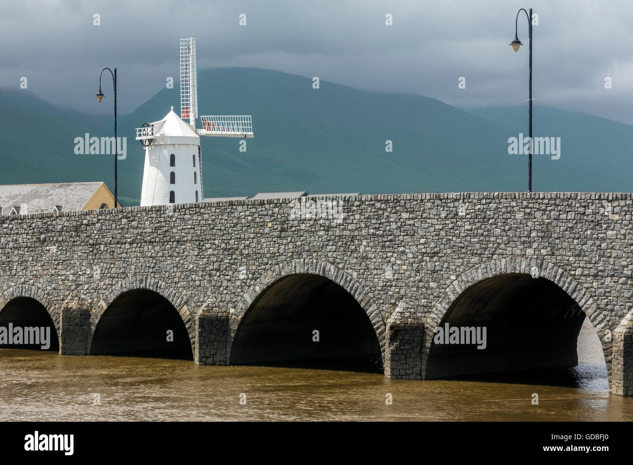 Die Blennerville Windmill in County Kerry in Irland. Stockfotohttps://www.alamy.de/image-license-details/?v=1https://www.alamy.de/stockfoto-die-blennerville-windmill-in-county-kerry-in-irland-111506472.html
RFGDBFJ0–Die Blennerville Windmill in County Kerry in Irland.
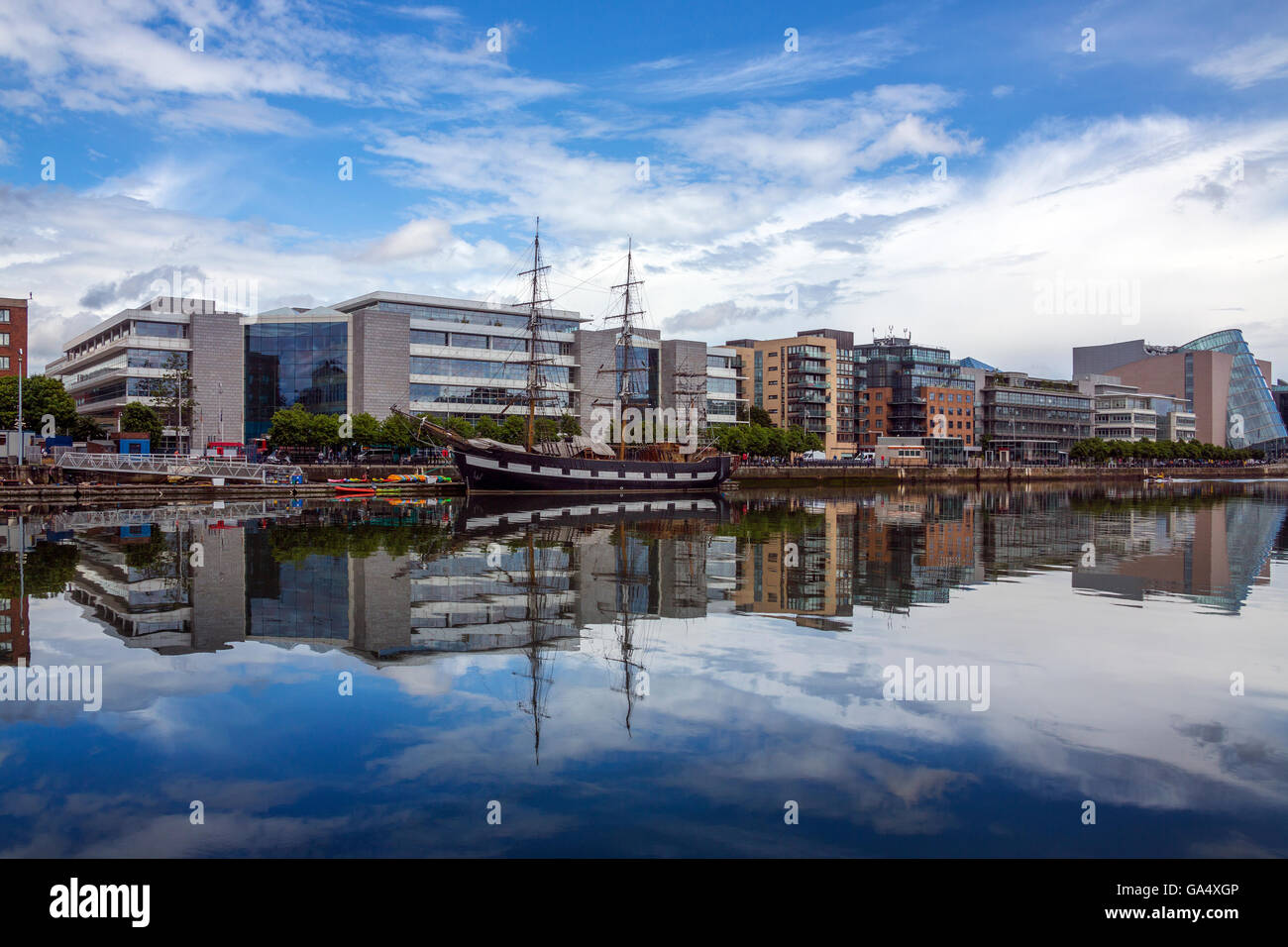 Der Fluss Liffey und Teil des Ufers Dublin - Dublin in Irland. Stockfotohttps://www.alamy.de/image-license-details/?v=1https://www.alamy.de/stockfoto-der-fluss-liffey-und-teil-des-ufers-dublin-dublin-in-irland-109517430.html
RFGA4XGP–Der Fluss Liffey und Teil des Ufers Dublin - Dublin in Irland.
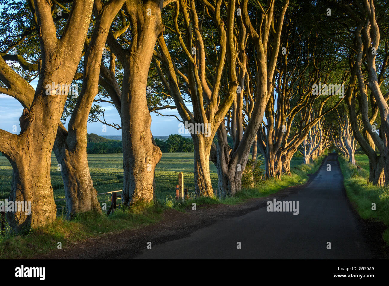 Die "dunklen Hecken" - eine Allee von alten Bäumen in der Grafschaft Antrim in Nordirland. Stockfotohttps://www.alamy.de/image-license-details/?v=1https://www.alamy.de/stockfoto-die-dunklen-hecken-eine-allee-von-alten-baumen-in-der-grafschaft-antrim-in-nordirland-108904161.html
RFG950A9–Die "dunklen Hecken" - eine Allee von alten Bäumen in der Grafschaft Antrim in Nordirland.
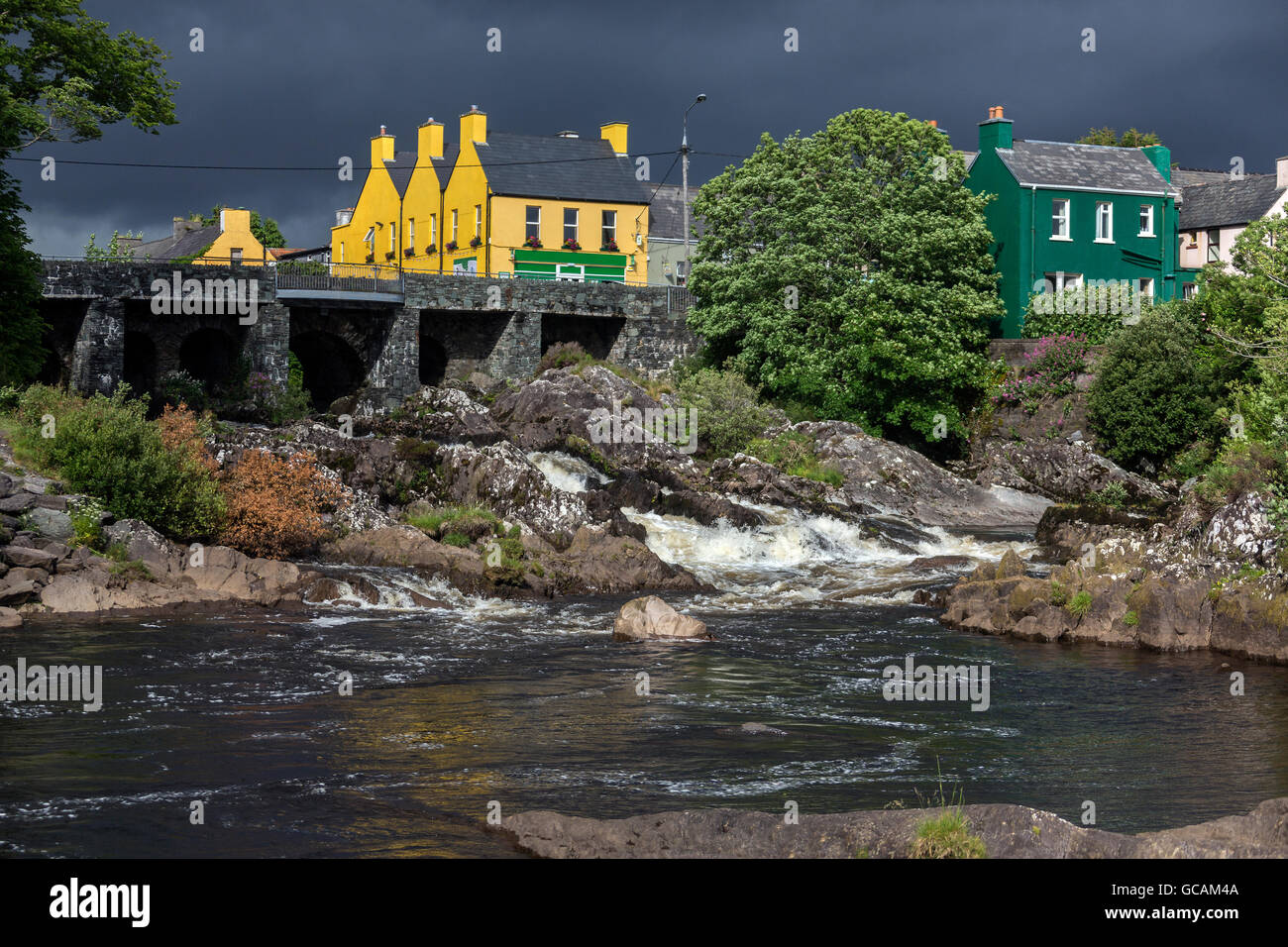 Das Dorf von Sneem auf der Iveragh-Halbinsel in der Grafschaft Kerry in Irland. Stockfotohttps://www.alamy.de/image-license-details/?v=1https://www.alamy.de/stockfoto-das-dorf-von-sneem-auf-der-iveragh-halbinsel-in-der-grafschaft-kerry-in-irland-110873402.html
RFGCAM4A–Das Dorf von Sneem auf der Iveragh-Halbinsel in der Grafschaft Kerry in Irland.
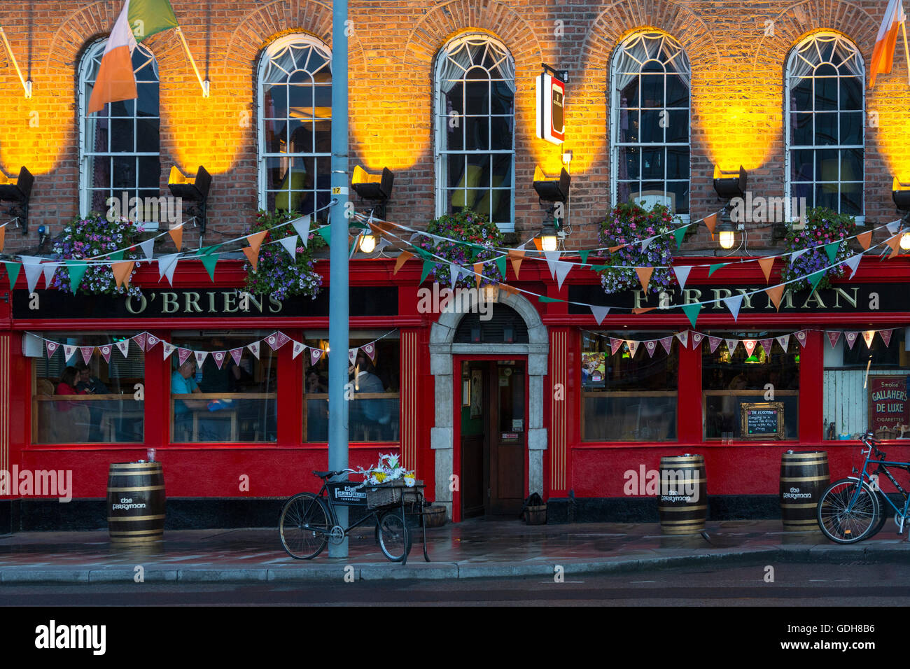 O'Briens öffentlichen Haus "Der Fährmann" im Bereich "Dockland" von der Stadt Dublin in Irland. Stockfotohttps://www.alamy.de/image-license-details/?v=1https://www.alamy.de/stockfoto-obriens-offentlichen-haus-der-fahrmann-im-bereich-dockland-von-der-stadt-dublin-in-irland-111632506.html
RMGDH8B6–O'Briens öffentlichen Haus "Der Fährmann" im Bereich "Dockland" von der Stadt Dublin in Irland.
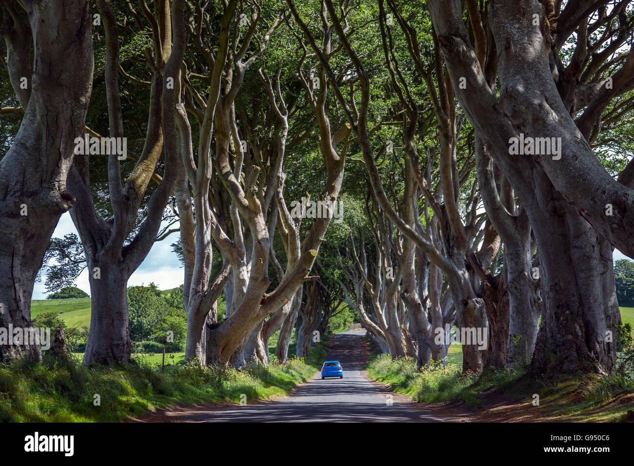 Die "dunklen Hecken" - eine Allee von alten Bäumen in der Grafschaft Antrim in Nordirland. Stockfotohttps://www.alamy.de/image-license-details/?v=1https://www.alamy.de/stockfoto-die-dunklen-hecken-eine-allee-von-alten-baumen-in-der-grafschaft-antrim-in-nordirland-108904214.html
RFG950C6–Die "dunklen Hecken" - eine Allee von alten Bäumen in der Grafschaft Antrim in Nordirland.
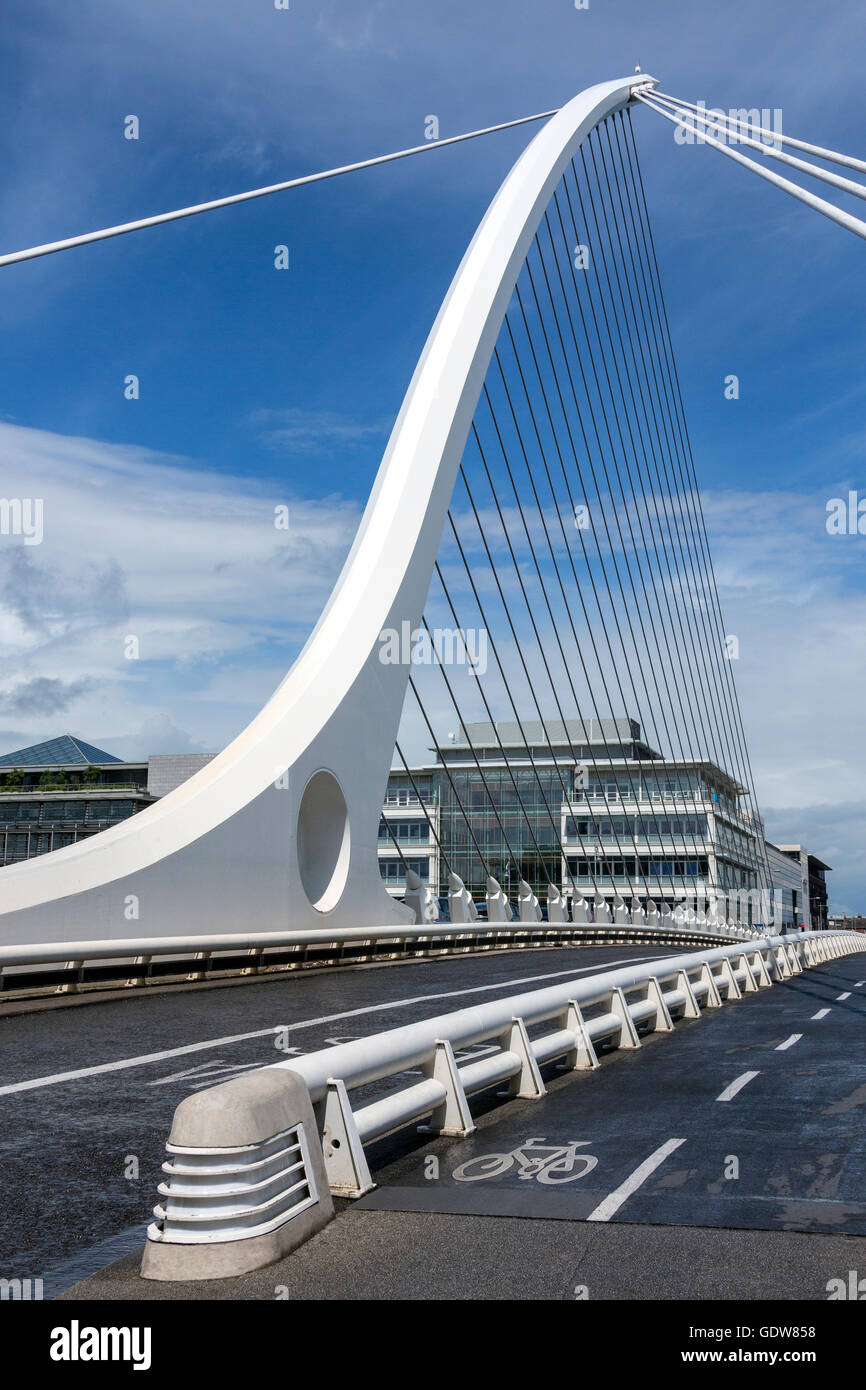 Samuel Beckett Bridge und das Gebäude an der Küste in der Nähe von Kongresszentrum - Zentrum von Dublin, Irland Stockfotohttps://www.alamy.de/image-license-details/?v=1https://www.alamy.de/stockfoto-samuel-beckett-bridge-und-das-gebaude-an-der-kuste-in-der-nahe-von-kongresszentrum-zentrum-von-dublin-irland-111807956.html
RMGDW858–Samuel Beckett Bridge und das Gebäude an der Küste in der Nähe von Kongresszentrum - Zentrum von Dublin, Irland
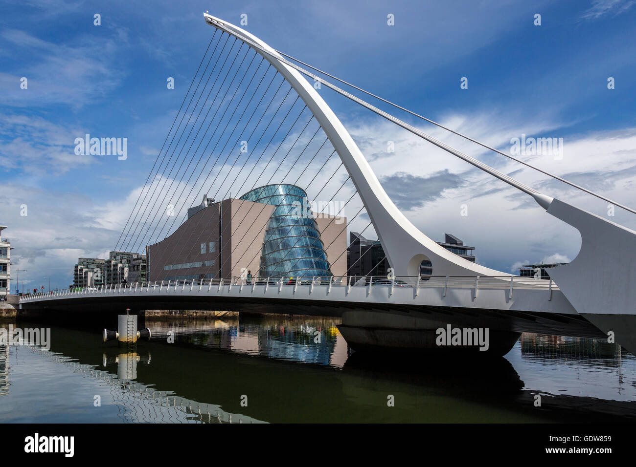 Samuel Beckett Bridge und das Gebäude an der Küste in der Nähe von Kongresszentrum - Zentrum von Dublin, Irland Stockfotohttps://www.alamy.de/image-license-details/?v=1https://www.alamy.de/stockfoto-samuel-beckett-bridge-und-das-gebaude-an-der-kuste-in-der-nahe-von-kongresszentrum-zentrum-von-dublin-irland-111807957.html
RMGDW859–Samuel Beckett Bridge und das Gebäude an der Küste in der Nähe von Kongresszentrum - Zentrum von Dublin, Irland
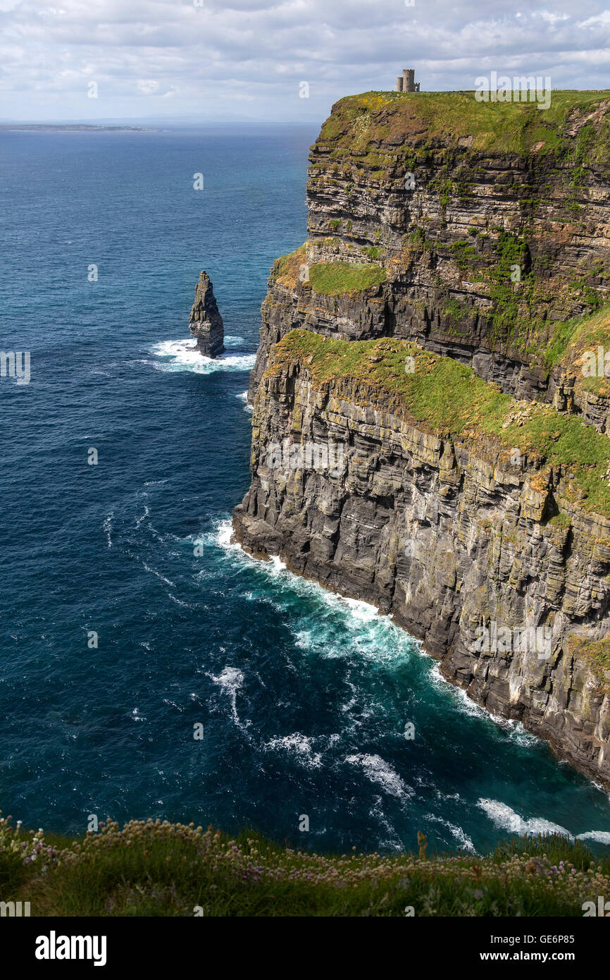 Die Klippen von Moher - befindet sich am südwestlichen Rand der Region Burren im County Clare, Irland. Stockfotohttps://www.alamy.de/image-license-details/?v=1https://www.alamy.de/stockfoto-die-klippen-von-moher-befindet-sich-am-sudwestlichen-rand-der-region-burren-im-county-clare-irland-112016581.html
RMGE6P85–Die Klippen von Moher - befindet sich am südwestlichen Rand der Region Burren im County Clare, Irland.
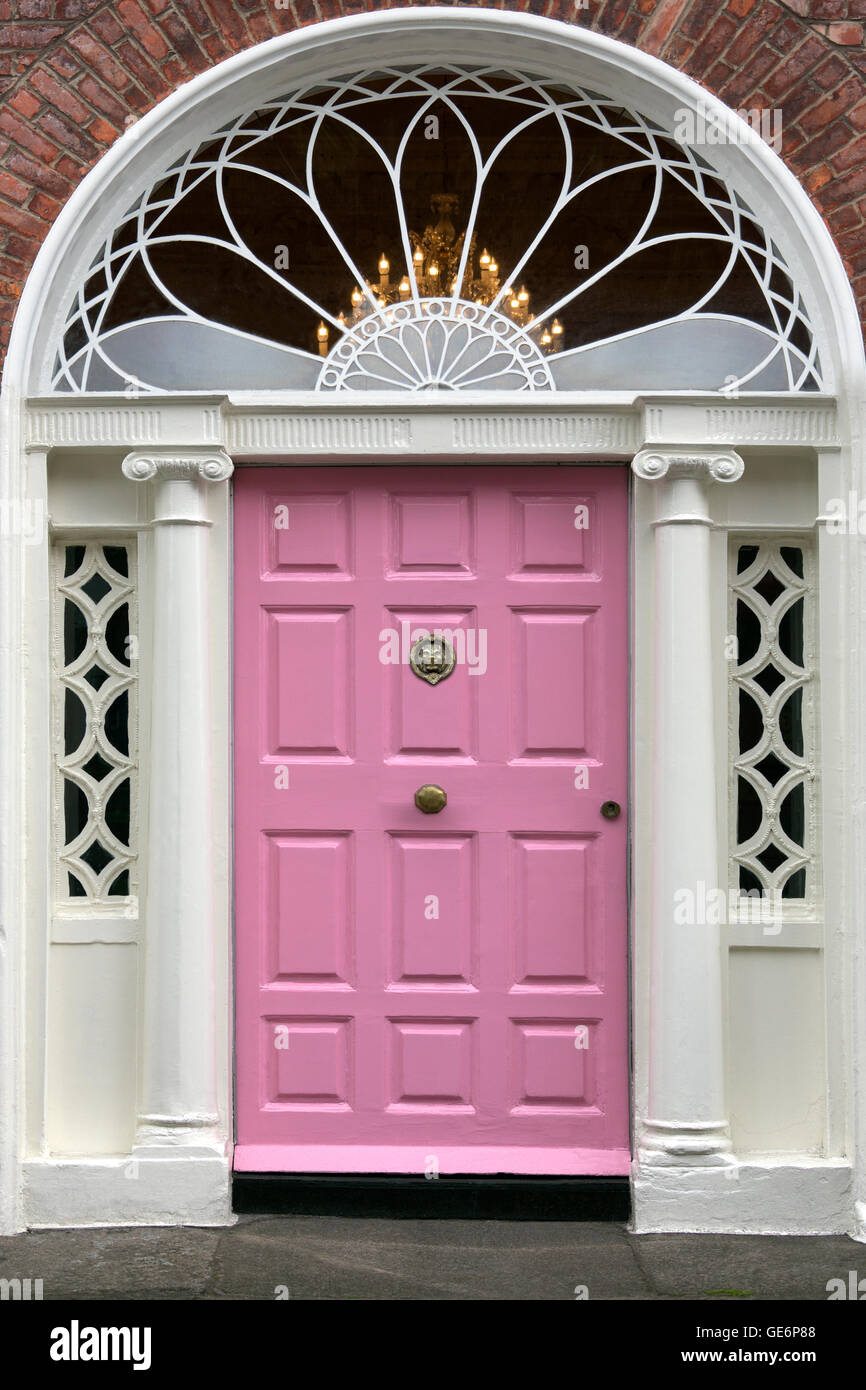 Einer der berühmten Dublin Türen. Typisch für das Design von vielen Haustüren im Zentrum von Dublin, Republik Irland Stockfotohttps://www.alamy.de/image-license-details/?v=1https://www.alamy.de/stockfoto-einer-der-beruhmten-dublin-turen-typisch-fur-das-design-von-vielen-hausturen-im-zentrum-von-dublin-republik-irland-112016584.html
RMGE6P88–Einer der berühmten Dublin Türen. Typisch für das Design von vielen Haustüren im Zentrum von Dublin, Republik Irland
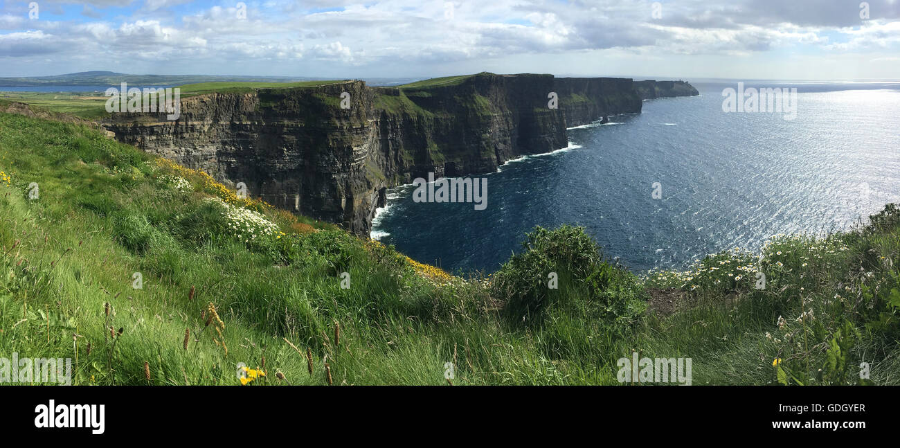 Die Klippen von Moher - befindet sich am südwestlichen Rand der Region Burren im County Clare, Irland. Stockfotohttps://www.alamy.de/image-license-details/?v=1https://www.alamy.de/stockfoto-die-klippen-von-moher-befindet-sich-am-sudwestlichen-rand-der-region-burren-im-county-clare-irland-111625551.html
RFGDGYER–Die Klippen von Moher - befindet sich am südwestlichen Rand der Region Burren im County Clare, Irland.
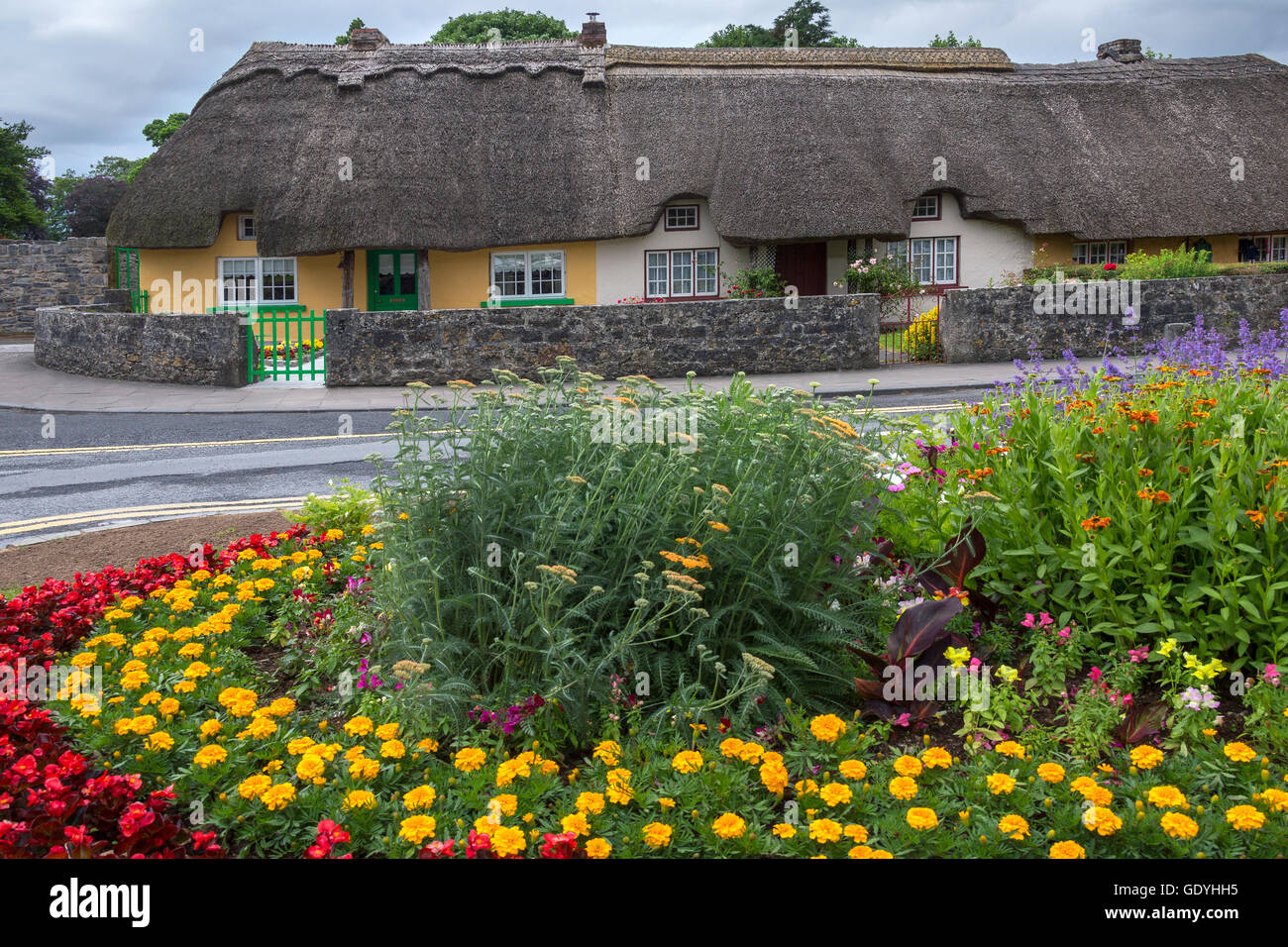 Alten strohgedeckten Hütten im Dorf Adare in der Grafschaft Limerick in Irland. Stockfotohttps://www.alamy.de/image-license-details/?v=1https://www.alamy.de/stockfoto-alten-strohgedeckten-hutten-im-dorf-adare-in-der-grafschaft-limerick-in-irland-111859249.html
RFGDYHH5–Alten strohgedeckten Hütten im Dorf Adare in der Grafschaft Limerick in Irland.
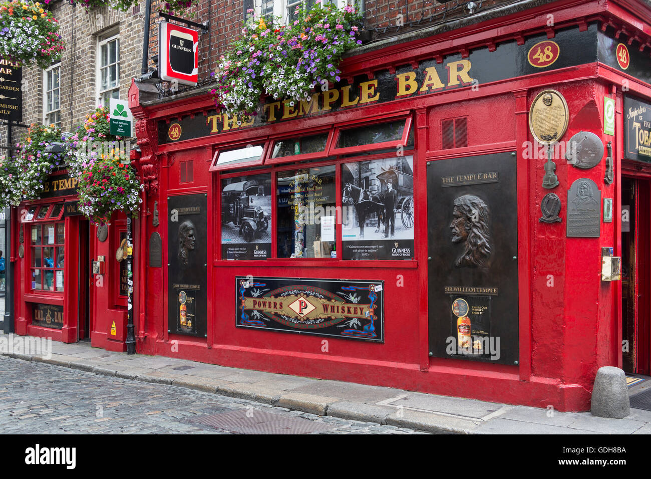 Die berühmte Temple Bar Irish Pub im Temple Bar Bezirk von Dublin in Irland. Stockfotohttps://www.alamy.de/image-license-details/?v=1https://www.alamy.de/stockfoto-die-beruhmte-temple-bar-irish-pub-im-temple-bar-bezirk-von-dublin-in-irland-111632510.html
RMGDH8BA–Die berühmte Temple Bar Irish Pub im Temple Bar Bezirk von Dublin in Irland.
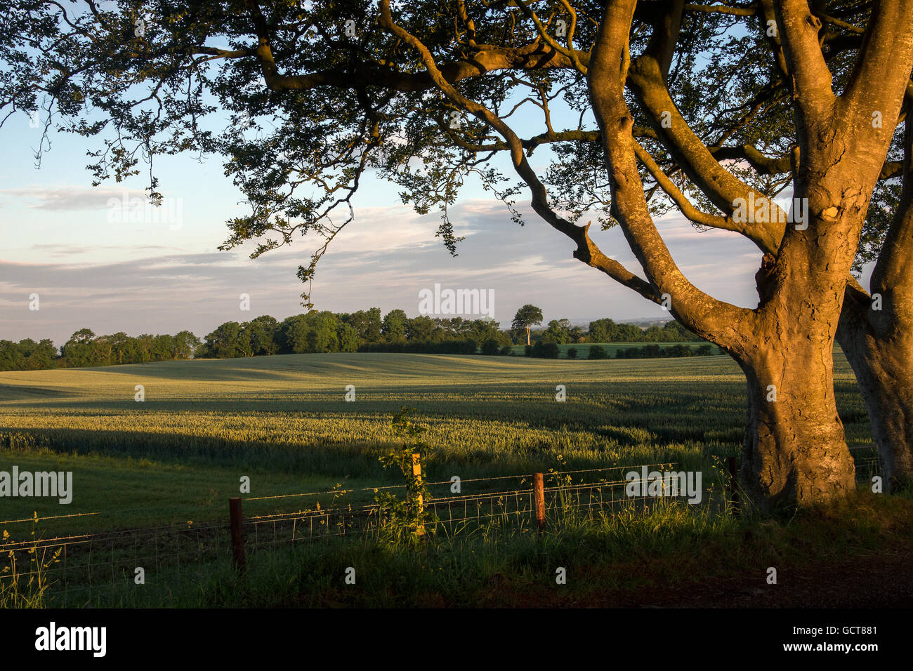 Am frühen Morgensonnenlicht auf die Bäume und Felder des ländlichen Irland - County Antrim in Nordirland. Stockfotohttps://www.alamy.de/image-license-details/?v=1https://www.alamy.de/stockfoto-am-fruhen-morgensonnenlicht-auf-die-baume-und-felder-des-landlichen-irland-county-antrim-in-nordirland-111171425.html
RFGCT881–Am frühen Morgensonnenlicht auf die Bäume und Felder des ländlichen Irland - County Antrim in Nordirland.
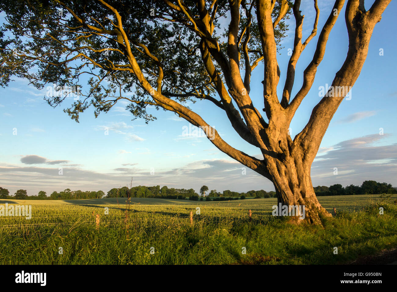 Am frühen Morgensonnenlicht auf die Bäume und Felder des ländlichen Irland - County Antrim in Nordirland. Stockfotohttps://www.alamy.de/image-license-details/?v=1https://www.alamy.de/stockfoto-am-fruhen-morgensonnenlicht-auf-die-baume-und-felder-des-landlichen-irland-county-antrim-in-nordirland-108904201.html
RFG950BN–Am frühen Morgensonnenlicht auf die Bäume und Felder des ländlichen Irland - County Antrim in Nordirland.
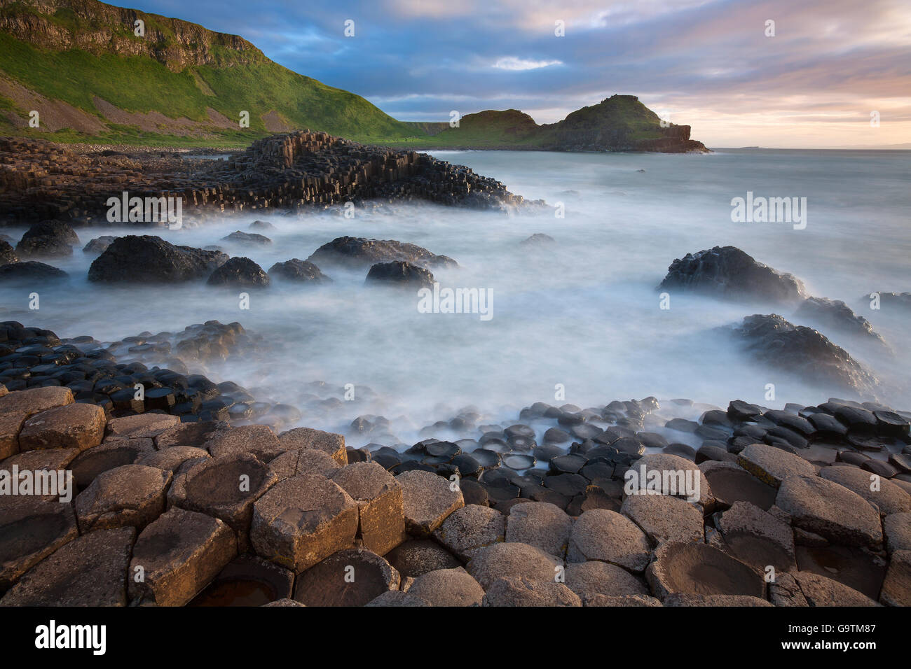 Die Giants Causeway in der Grafschaft Antrim in Nordirland. Ein UNESCO-Weltkulturerbe. Stockfotohttps://www.alamy.de/image-license-details/?v=1https://www.alamy.de/stockfoto-die-giants-causeway-in-der-grafschaft-antrim-in-nordirland-ein-unesco-weltkulturerbe-109336871.html
RFG9TM87–Die Giants Causeway in der Grafschaft Antrim in Nordirland. Ein UNESCO-Weltkulturerbe.
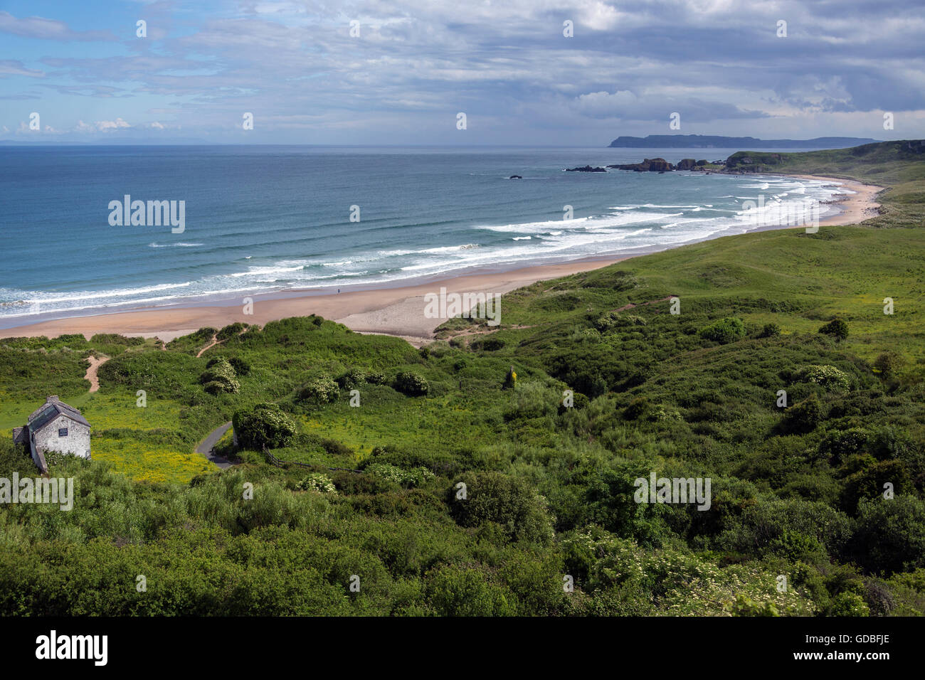 White Park Bay in der Nähe von Ballycastle, County Antrim an der Küste Nordirlands. Stockfotohttps://www.alamy.de/image-license-details/?v=1https://www.alamy.de/stockfoto-white-park-bay-in-der-nahe-von-ballycastle-county-antrim-an-der-kuste-nordirlands-111506486.html
RFGDBFJE–White Park Bay in der Nähe von Ballycastle, County Antrim an der Küste Nordirlands.
 Flagge der Regierung von Nordirland. Auch bekannt als die Ulster Fahne. Nordirland ist ein Teil des Vereinigten Königreichs. Stockfotohttps://www.alamy.de/image-license-details/?v=1https://www.alamy.de/stockfoto-flagge-der-regierung-von-nordirland-auch-bekannt-als-die-ulster-fahne-nordirland-ist-ein-teil-des-vereinigten-konigreichs-73763935.html
RFE806J7–Flagge der Regierung von Nordirland. Auch bekannt als die Ulster Fahne. Nordirland ist ein Teil des Vereinigten Königreichs.
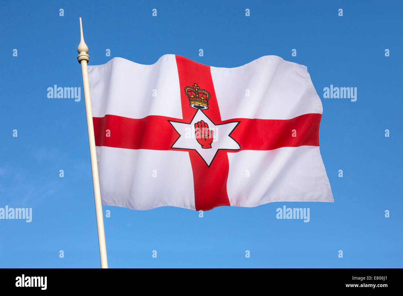 Flagge der Regierung von Nordirland. Auch bekannt als die Ulster Fahne. Nordirland ist ein Teil des Vereinigten Königreichs Stockfotohttps://www.alamy.de/image-license-details/?v=1https://www.alamy.de/stockfoto-flagge-der-regierung-von-nordirland-auch-bekannt-als-die-ulster-fahne-nordirland-ist-ein-teil-des-vereinigten-konigreichs-73763929.html
RFE806J1–Flagge der Regierung von Nordirland. Auch bekannt als die Ulster Fahne. Nordirland ist ein Teil des Vereinigten Königreichs
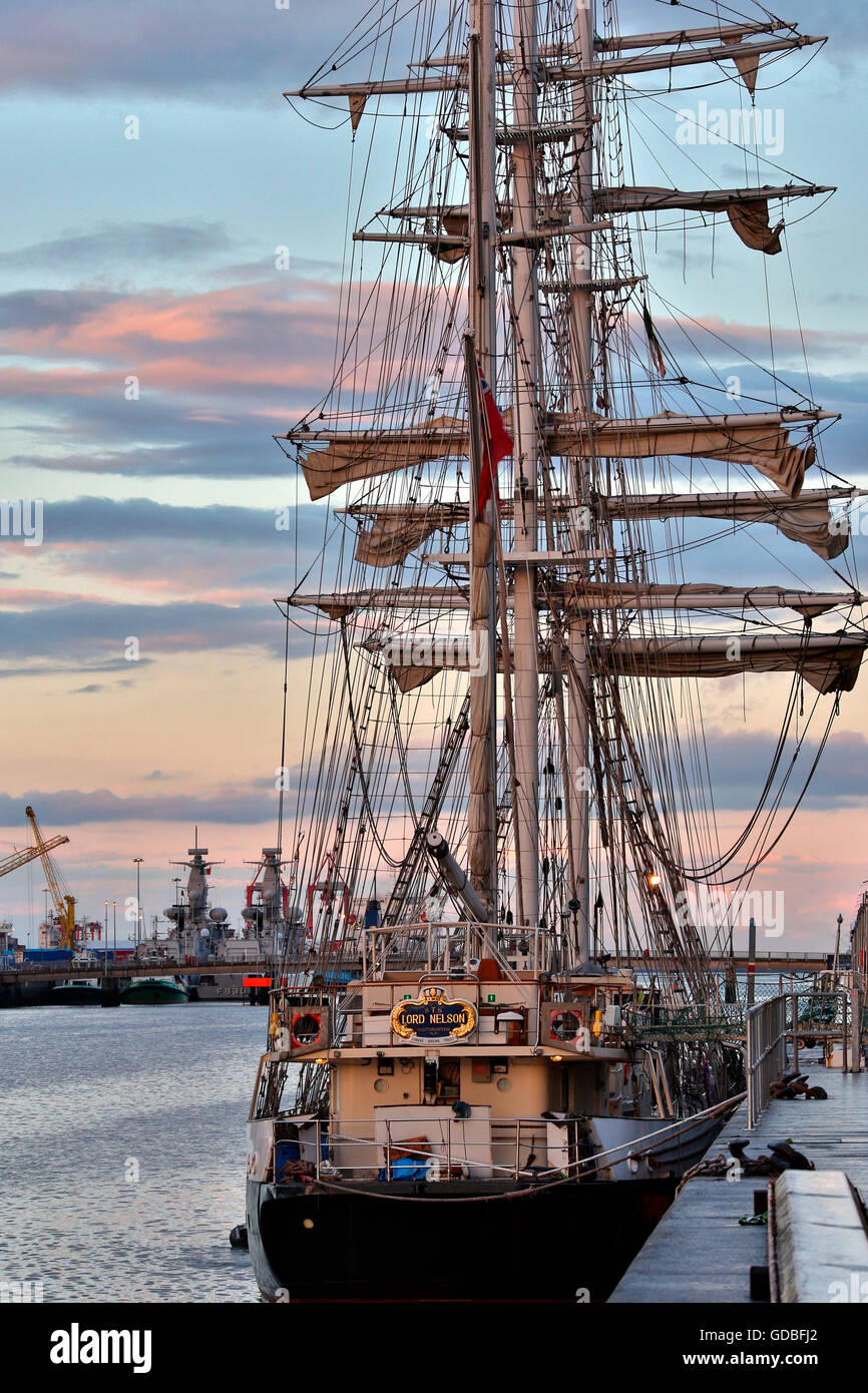 Die Segel-Schulschiff Lord Nelson vor Anker in den Fluss Liffey in Dublin, Irland. Stockfotohttps://www.alamy.de/image-license-details/?v=1https://www.alamy.de/stockfoto-die-segel-schulschiff-lord-nelson-vor-anker-in-den-fluss-liffey-in-dublin-irland-111506474.html
RFGDBFJ2–Die Segel-Schulschiff Lord Nelson vor Anker in den Fluss Liffey in Dublin, Irland.
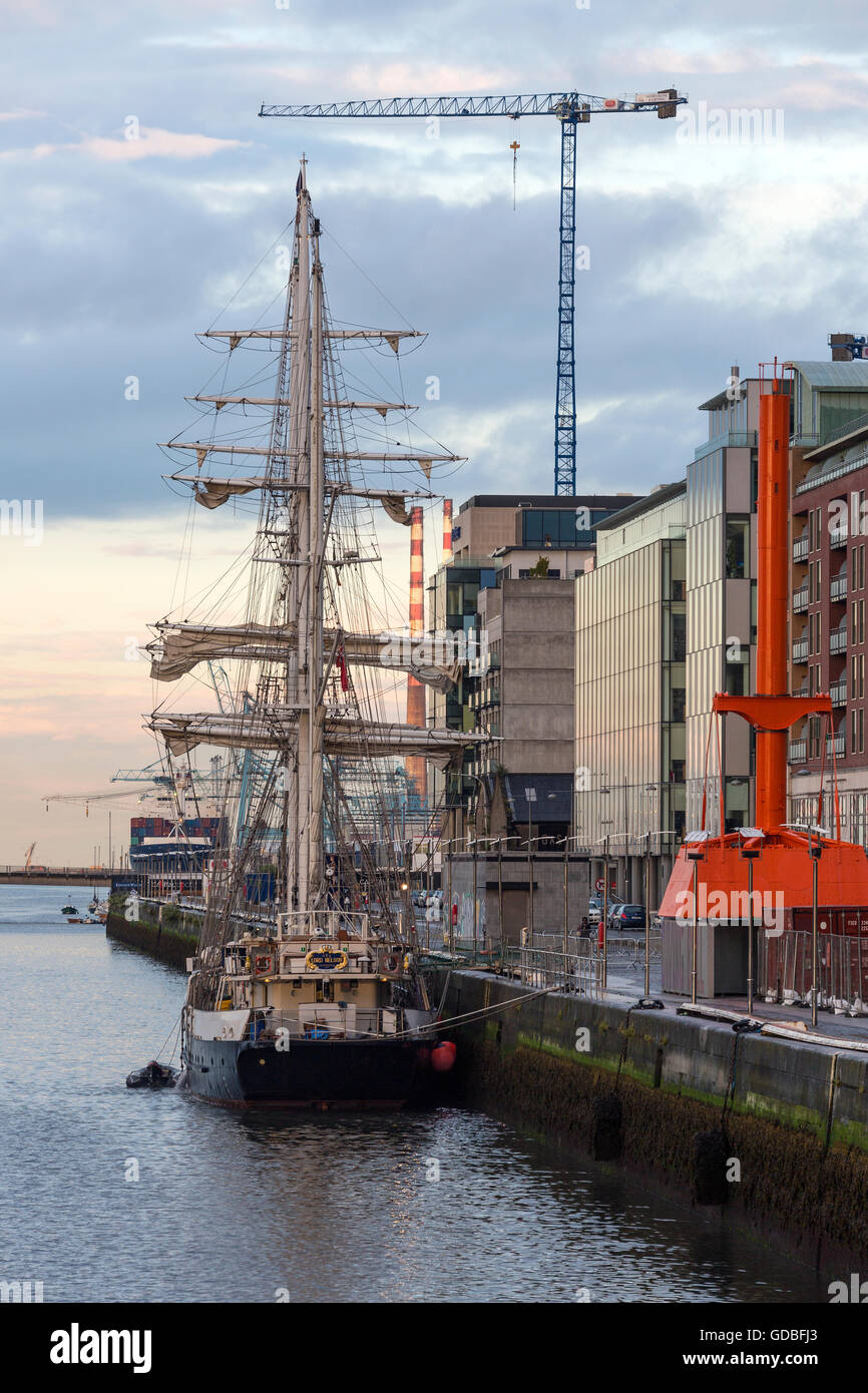 Die Segel-Schulschiff Lord Nelson vor Anker in den Fluss Liffey in Dublin, Irland. Stockfotohttps://www.alamy.de/image-license-details/?v=1https://www.alamy.de/stockfoto-die-segel-schulschiff-lord-nelson-vor-anker-in-den-fluss-liffey-in-dublin-irland-111506475.html
RFGDBFJ3–Die Segel-Schulschiff Lord Nelson vor Anker in den Fluss Liffey in Dublin, Irland.
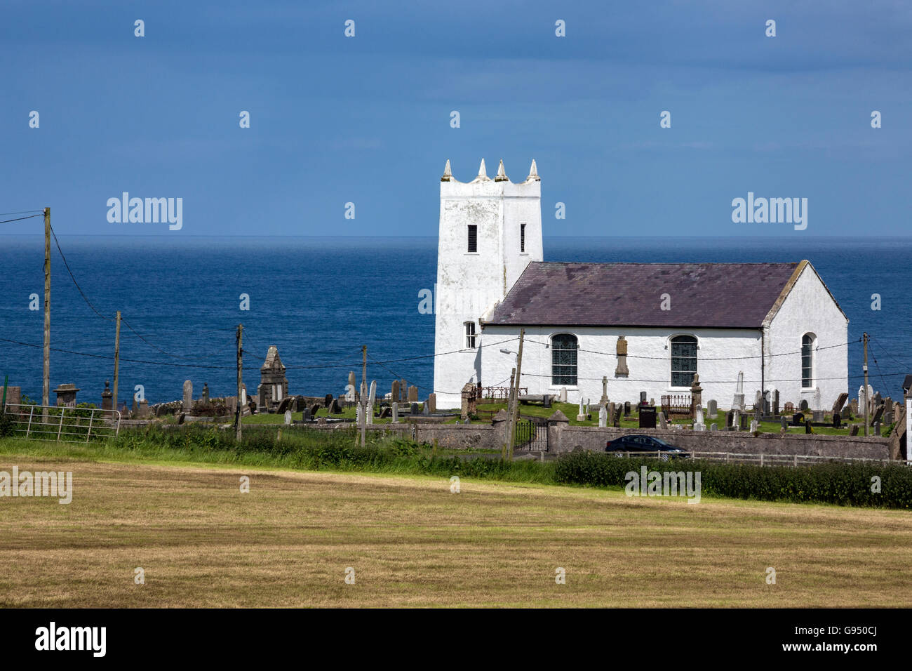 Ballintoy Pfarrkirche ist die Hauptkirche der Church of Ireland von der kleinen Stadt von Ballintoy, County Antrim, Nordirland. Stockfotohttps://www.alamy.de/image-license-details/?v=1https://www.alamy.de/stockfoto-ballintoy-pfarrkirche-ist-die-hauptkirche-der-church-of-ireland-von-der-kleinen-stadt-von-ballintoy-county-antrim-nordirland-108904226.html
RFG950CJ–Ballintoy Pfarrkirche ist die Hauptkirche der Church of Ireland von der kleinen Stadt von Ballintoy, County Antrim, Nordirland.
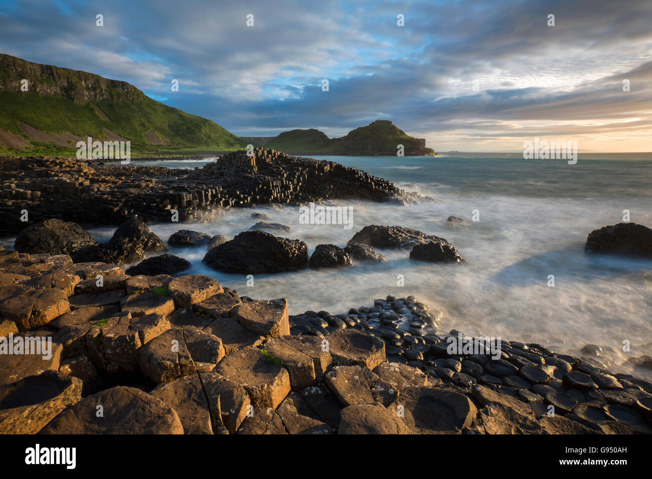 Die Giants Causeway in der Grafschaft Antrim in Nordirland. Ein UNESCO-Weltkulturerbe. Stockfotohttps://www.alamy.de/image-license-details/?v=1https://www.alamy.de/stockfoto-die-giants-causeway-in-der-grafschaft-antrim-in-nordirland-ein-unesco-weltkulturerbe-108904169.html
RFG950AH–Die Giants Causeway in der Grafschaft Antrim in Nordirland. Ein UNESCO-Weltkulturerbe.
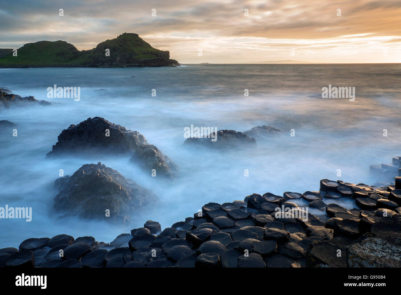 Die Giants Causeway in der Grafschaft Antrim in Nordirland. Ein UNESCO-Weltkulturerbe. Stockfotohttps://www.alamy.de/image-license-details/?v=1https://www.alamy.de/stockfoto-die-giants-causeway-in-der-grafschaft-antrim-in-nordirland-ein-unesco-weltkulturerbe-108904184.html
RFG950B4–Die Giants Causeway in der Grafschaft Antrim in Nordirland. Ein UNESCO-Weltkulturerbe.
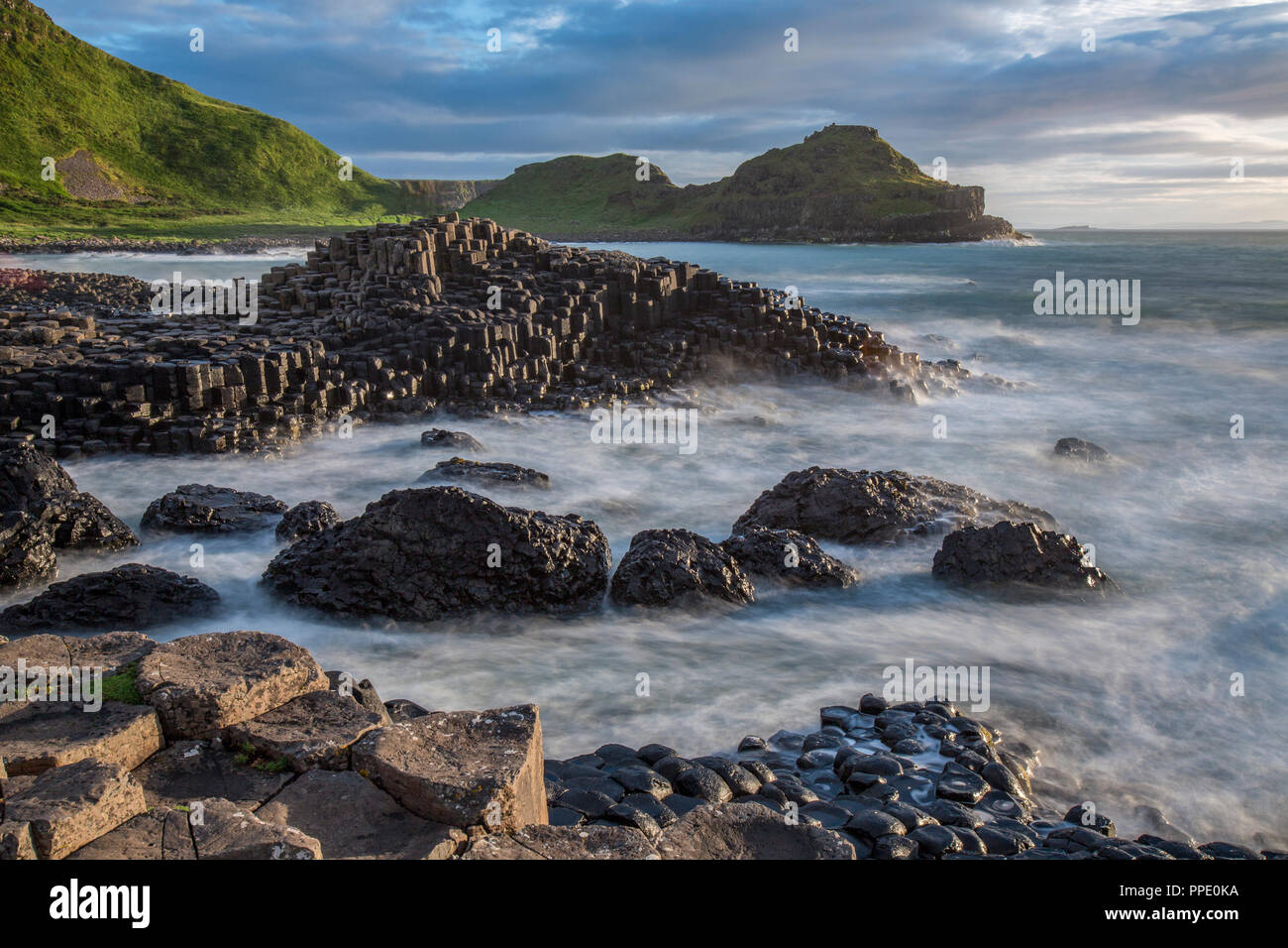 Der Giant's Causeway, eine Fläche von etwa 40.000 Verriegelung Basaltsäulen, die Ergebnis einer alten vulkanischen Eruption. County Antrim, Nordirland Stockfotohttps://www.alamy.de/image-license-details/?v=1https://www.alamy.de/der-giants-causeway-eine-flache-von-etwa-40000-verriegelung-basaltsaulen-die-ergebnis-einer-alten-vulkanischen-eruption-county-antrim-nordirland-image220354718.html
RFPPE0KA–Der Giant's Causeway, eine Fläche von etwa 40.000 Verriegelung Basaltsäulen, die Ergebnis einer alten vulkanischen Eruption. County Antrim, Nordirland
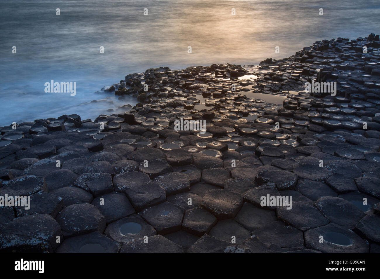 Die Giants Causeway in der Grafschaft Antrim in Nordirland. Ein UNESCO-Weltkulturerbe. Stockfotohttps://www.alamy.de/image-license-details/?v=1https://www.alamy.de/stockfoto-die-giants-causeway-in-der-grafschaft-antrim-in-nordirland-ein-unesco-weltkulturerbe-108904173.html
RFG950AN–Die Giants Causeway in der Grafschaft Antrim in Nordirland. Ein UNESCO-Weltkulturerbe.
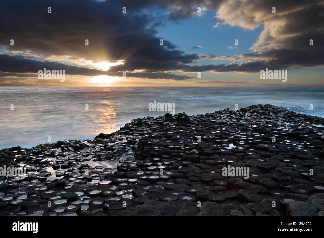 Die Giants Causeway in der Grafschaft Antrim in Nordirland. Ein UNESCO-Weltkulturerbe. Stockfotohttps://www.alamy.de/image-license-details/?v=1https://www.alamy.de/stockfoto-die-giants-causeway-in-der-grafschaft-antrim-in-nordirland-ein-unesco-weltkulturerbe-109023098.html
RFG9AC22–Die Giants Causeway in der Grafschaft Antrim in Nordirland. Ein UNESCO-Weltkulturerbe.