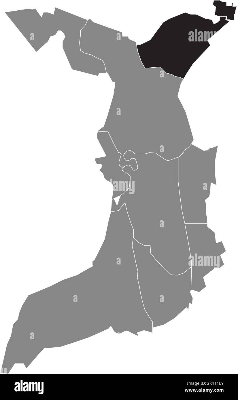
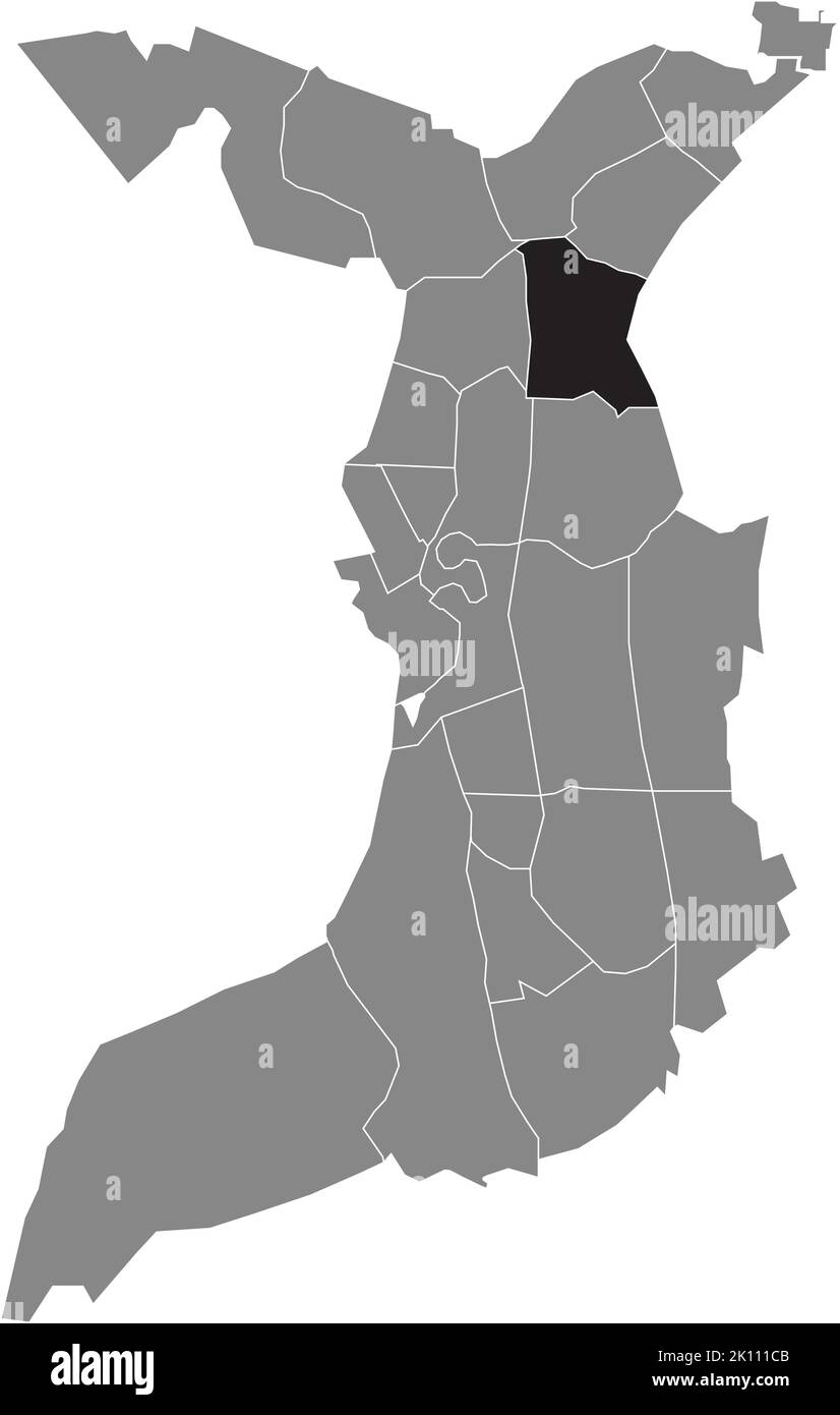
Locator karte Schwarz-Weiß-Archivfotos
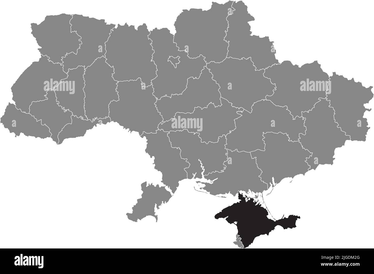 Locator Karte der KRIM, UKRAINE Stock Vektorhttps://www.alamy.de/image-license-details/?v=1https://www.alamy.de/locator-karte-der-krim-ukraine-image474815560.html
RF2JGDM2G–Locator Karte der KRIM, UKRAINE
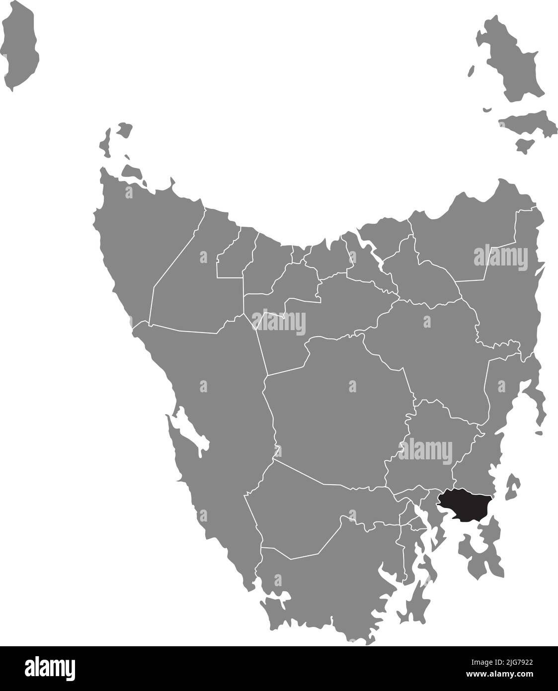 Locator-Karte des SORELL, TASMANIEN Stock Vektorhttps://www.alamy.de/image-license-details/?v=1https://www.alamy.de/locator-karte-des-sorell-tasmanien-image474675210.html
RF2JG7922–Locator-Karte des SORELL, TASMANIEN
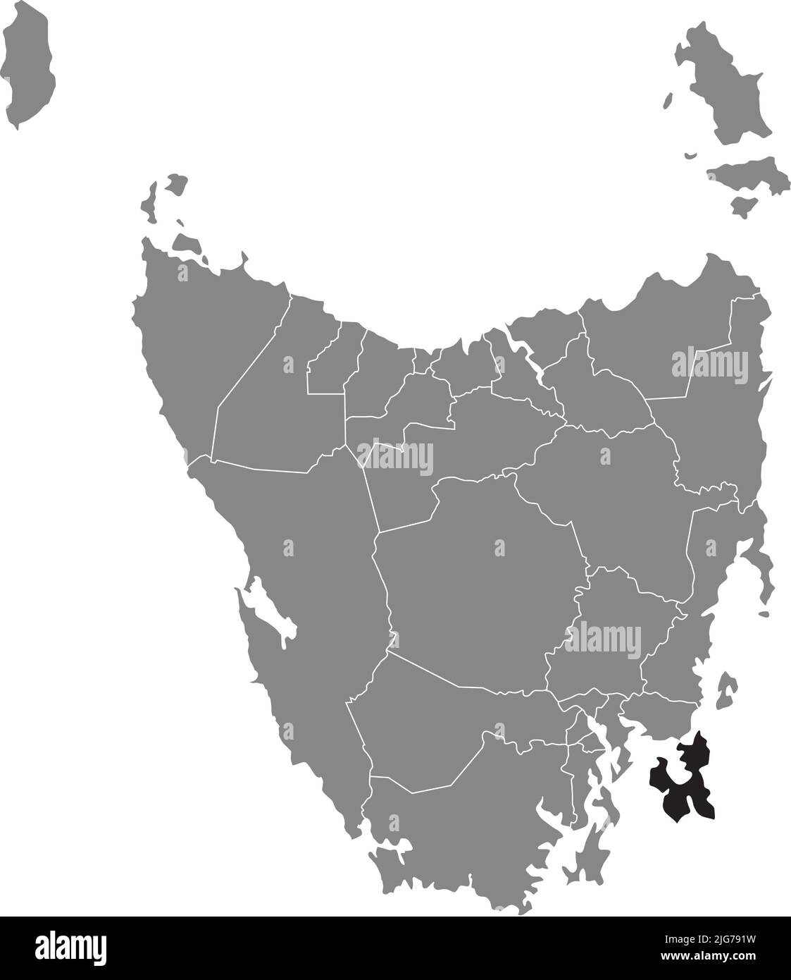 Locator-Karte von TASMAN, TASMANIEN Stock Vektorhttps://www.alamy.de/image-license-details/?v=1https://www.alamy.de/locator-karte-von-tasman-tasmanien-image474675205.html
RF2JG791W–Locator-Karte von TASMAN, TASMANIEN
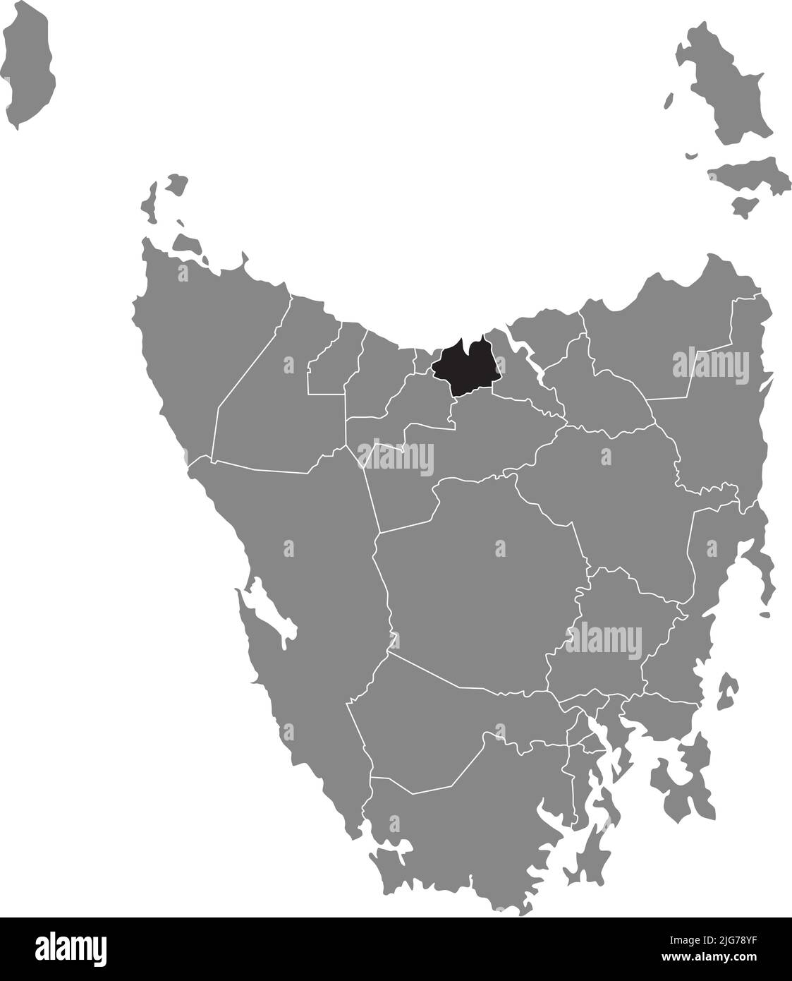 Locator-Karte des LATROBE, TASMANIEN Stock Vektorhttps://www.alamy.de/image-license-details/?v=1https://www.alamy.de/locator-karte-des-latrobe-tasmanien-image474675139.html
RF2JG78YF–Locator-Karte des LATROBE, TASMANIEN
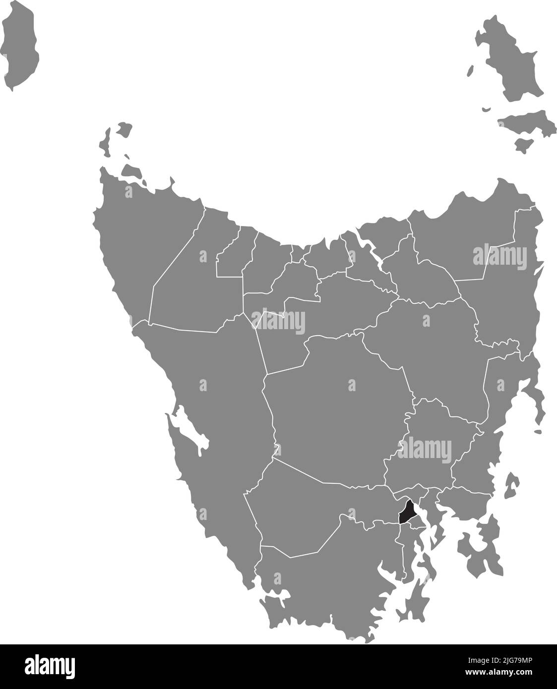 Lageplan des GLENORCHY, TASMANIEN Stock Vektorhttps://www.alamy.de/image-license-details/?v=1https://www.alamy.de/lageplan-des-glenorchy-tasmanien-image474675734.html
RF2JG79MP–Lageplan des GLENORCHY, TASMANIEN
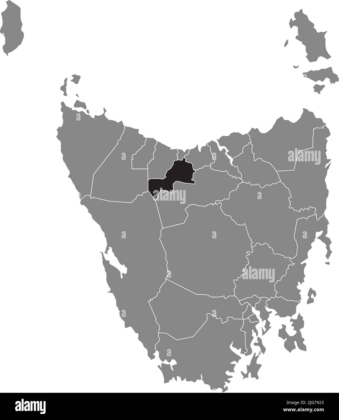 Lageplan des KENTISH, TASMANIEN Stock Vektorhttps://www.alamy.de/image-license-details/?v=1https://www.alamy.de/lageplan-des-kentish-tasmanien-image474675211.html
RF2JG7923–Lageplan des KENTISH, TASMANIEN
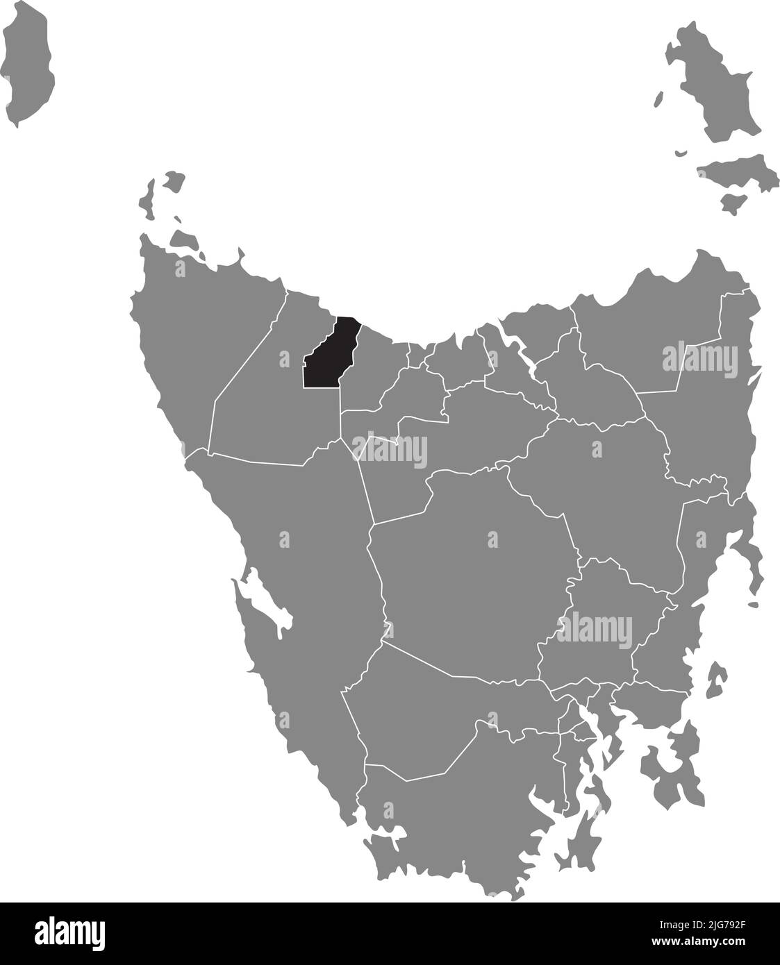 Locator-Karte des BURNIE, TASMANIEN Stock Vektorhttps://www.alamy.de/image-license-details/?v=1https://www.alamy.de/locator-karte-des-burnie-tasmanien-image474675223.html
RF2JG792F–Locator-Karte des BURNIE, TASMANIEN
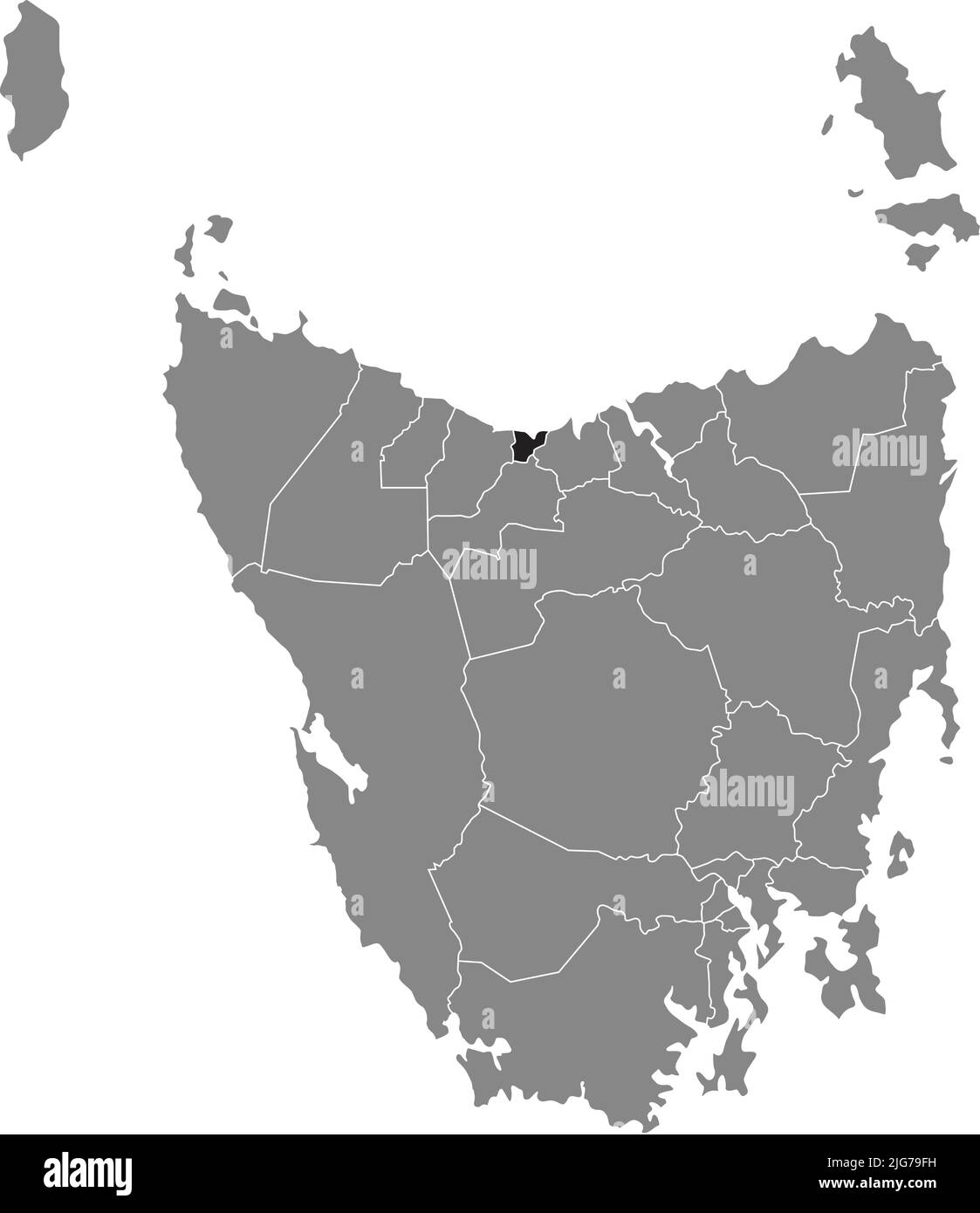 Locator-Karte des DEVONPORT, TASMANIEN Stock Vektorhttps://www.alamy.de/image-license-details/?v=1https://www.alamy.de/locator-karte-des-devonport-tasmanien-image474675589.html
RF2JG79FH–Locator-Karte des DEVONPORT, TASMANIEN
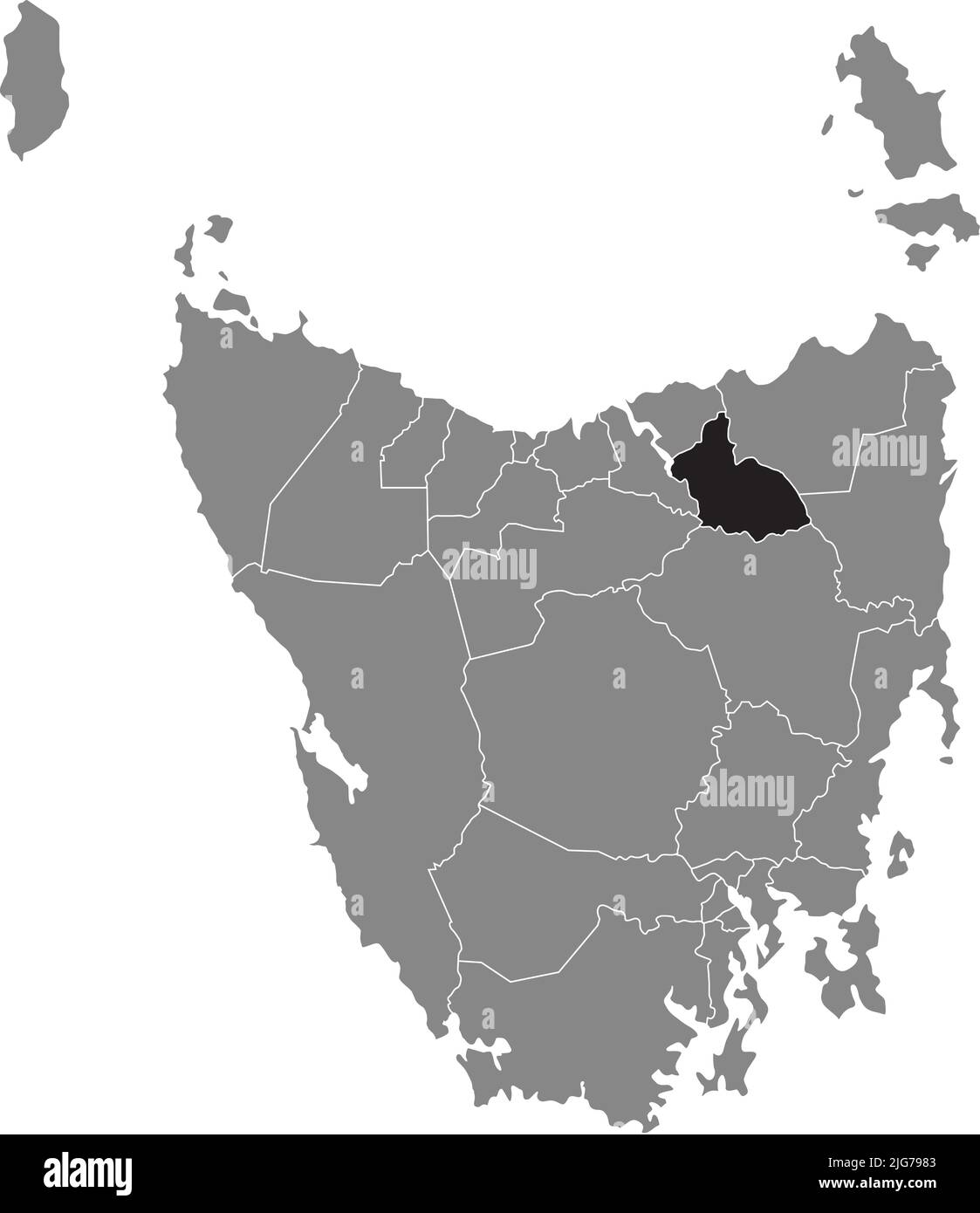 Lageplan des LAUNCESTON, TASMANIEN Stock Vektorhttps://www.alamy.de/image-license-details/?v=1https://www.alamy.de/lageplan-des-launceston-tasmanien-image474675379.html
RF2JG7983–Lageplan des LAUNCESTON, TASMANIEN
 Lageplan der FLINDERS, TASMANIEN Stock Vektorhttps://www.alamy.de/image-license-details/?v=1https://www.alamy.de/lageplan-der-flinders-tasmanien-image474675196.html
RF2JG791G–Lageplan der FLINDERS, TASMANIEN
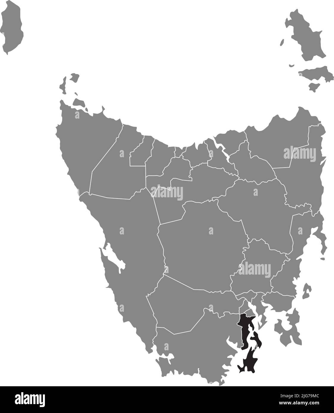 Lageplan des KINGBOROUGH, TASMANIEN Stock Vektorhttps://www.alamy.de/image-license-details/?v=1https://www.alamy.de/lageplan-des-kingborough-tasmanien-image474675724.html
RF2JG79MC–Lageplan des KINGBOROUGH, TASMANIEN
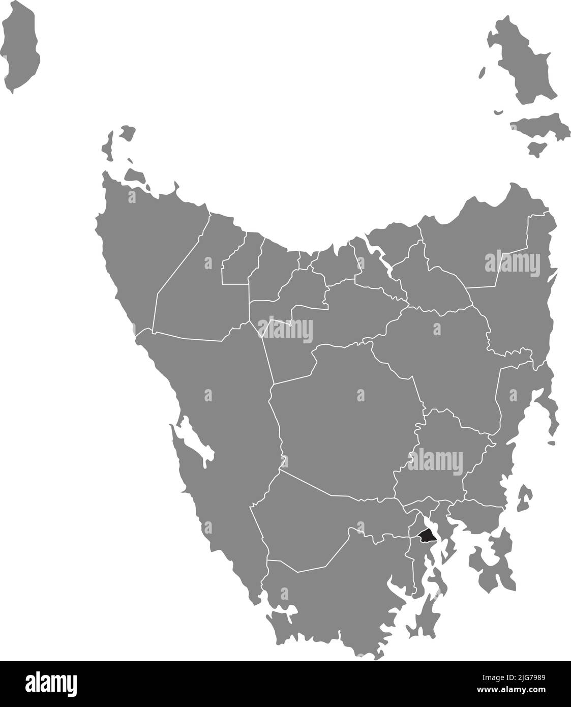 Locator-Karte von HOBART, TASMANIEN Stock Vektorhttps://www.alamy.de/image-license-details/?v=1https://www.alamy.de/locator-karte-von-hobart-tasmanien-image474675385.html
RF2JG7989–Locator-Karte von HOBART, TASMANIEN
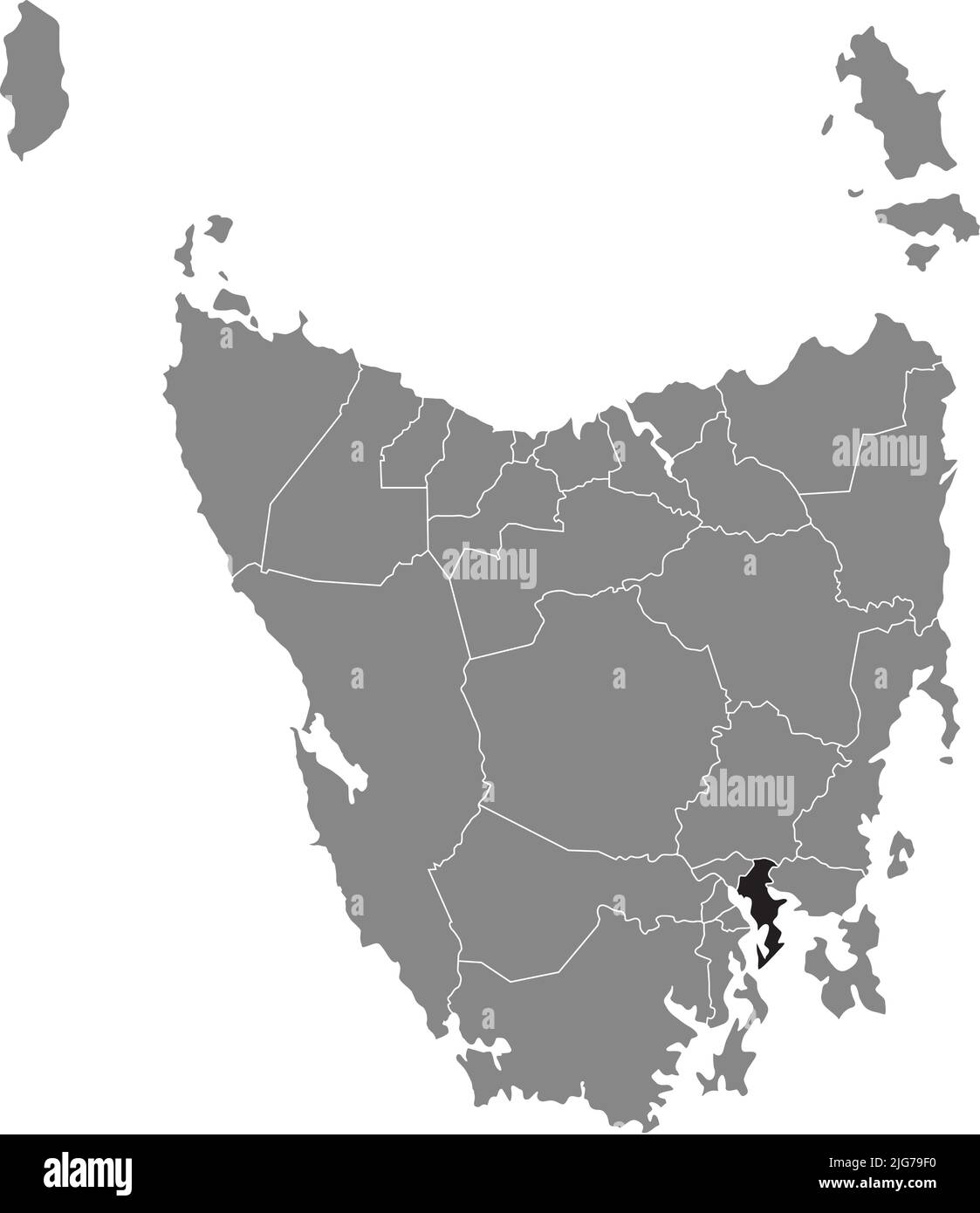 Locator-Karte der CLARENCE, TASMANIEN Stock Vektorhttps://www.alamy.de/image-license-details/?v=1https://www.alamy.de/locator-karte-der-clarence-tasmanien-image474675572.html
RF2JG79F0–Locator-Karte der CLARENCE, TASMANIEN
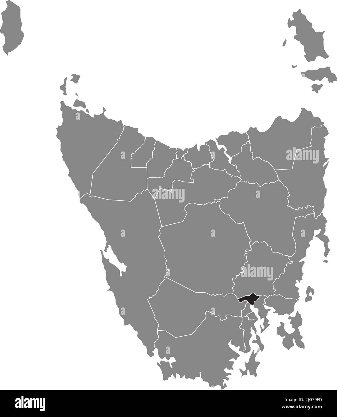 Lageplan von BRIGHTON, TASMANIEN Stock Vektorhttps://www.alamy.de/image-license-details/?v=1https://www.alamy.de/lageplan-von-brighton-tasmanien-image474675585.html
RF2JG79FD–Lageplan von BRIGHTON, TASMANIEN
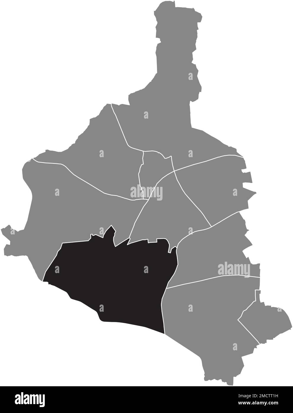 Ortskarte DES BEZIRKS ELLINGHORST, GLADBECK Stock Vektorhttps://www.alamy.de/image-license-details/?v=1https://www.alamy.de/ortskarte-des-bezirks-ellinghorst-gladbeck-image507022253.html
RF2MCTT1H–Ortskarte DES BEZIRKS ELLINGHORST, GLADBECK
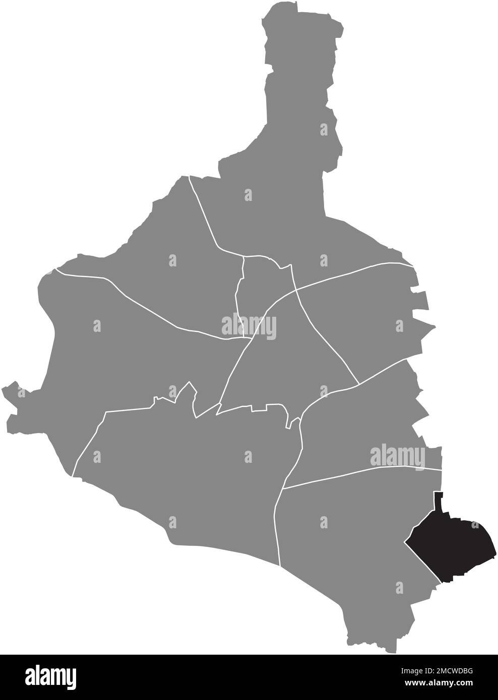 Landkarte des ROSENHÜGEL-VIERTELS, GLADBECK Stock Vektorhttps://www.alamy.de/image-license-details/?v=1https://www.alamy.de/landkarte-des-rosenhugel-viertels-gladbeck-image507035860.html
RF2MCWDBG–Landkarte des ROSENHÜGEL-VIERTELS, GLADBECK
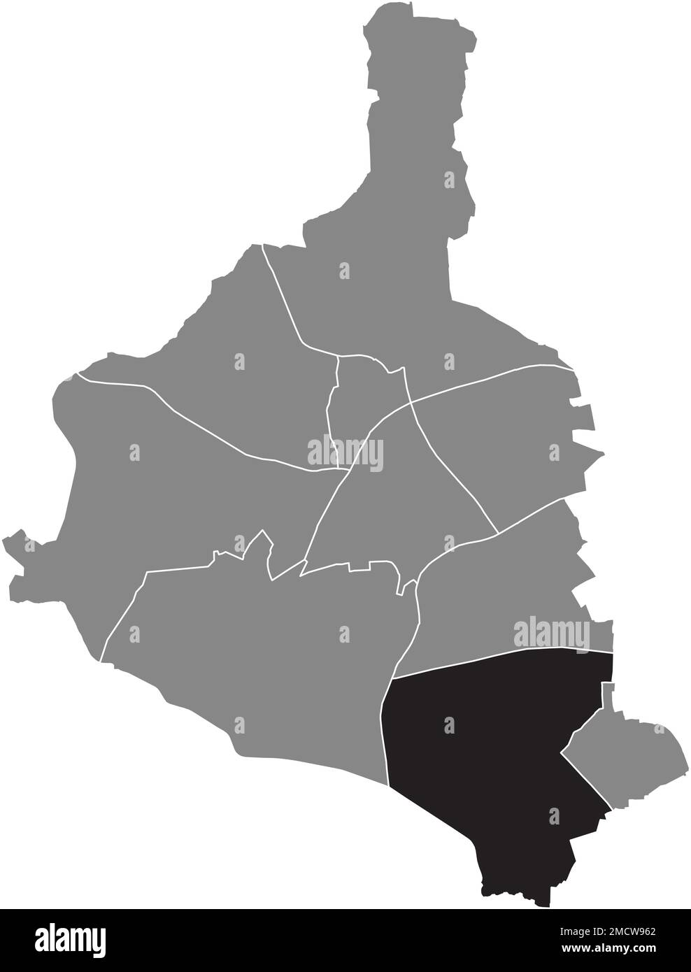 Ortungskarte des BRAUCK-VIERTELS, GLADBECK Stock Vektorhttps://www.alamy.de/image-license-details/?v=1https://www.alamy.de/ortungskarte-des-brauck-viertels-gladbeck-image507032570.html
RF2MCW962–Ortungskarte des BRAUCK-VIERTELS, GLADBECK
 Ortskarte des BEZIRKS BUTENDORF, GLADBECK Stock Vektorhttps://www.alamy.de/image-license-details/?v=1https://www.alamy.de/ortskarte-des-bezirks-butendorf-gladbeck-image507012867.html
RF2MCTC2B–Ortskarte des BEZIRKS BUTENDORF, GLADBECK
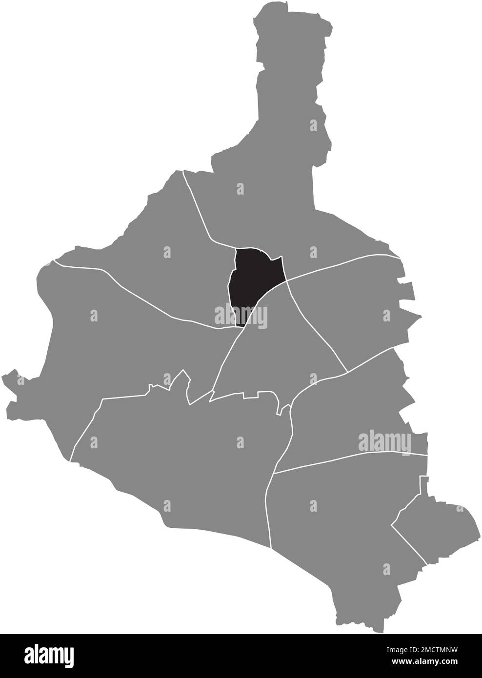 Lageplan des BEZIRKS SCHULTENDORF, GLADBECK Stock Vektorhttps://www.alamy.de/image-license-details/?v=1https://www.alamy.de/lageplan-des-bezirks-schultendorf-gladbeck-image507019685.html
RF2MCTMNW–Lageplan des BEZIRKS SCHULTENDORF, GLADBECK
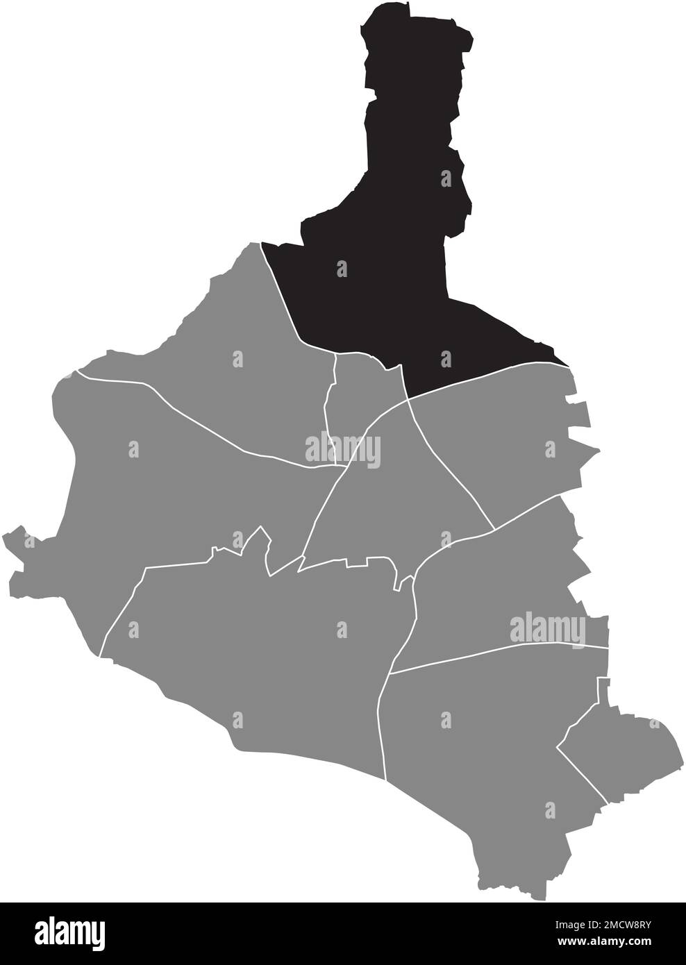 Ortskarte des ZWECKEL-VIERTELS, GLADBECK Stock Vektorhttps://www.alamy.de/image-license-details/?v=1https://www.alamy.de/ortskarte-des-zweckel-viertels-gladbeck-image507032287.html
RF2MCW8RY–Ortskarte des ZWECKEL-VIERTELS, GLADBECK
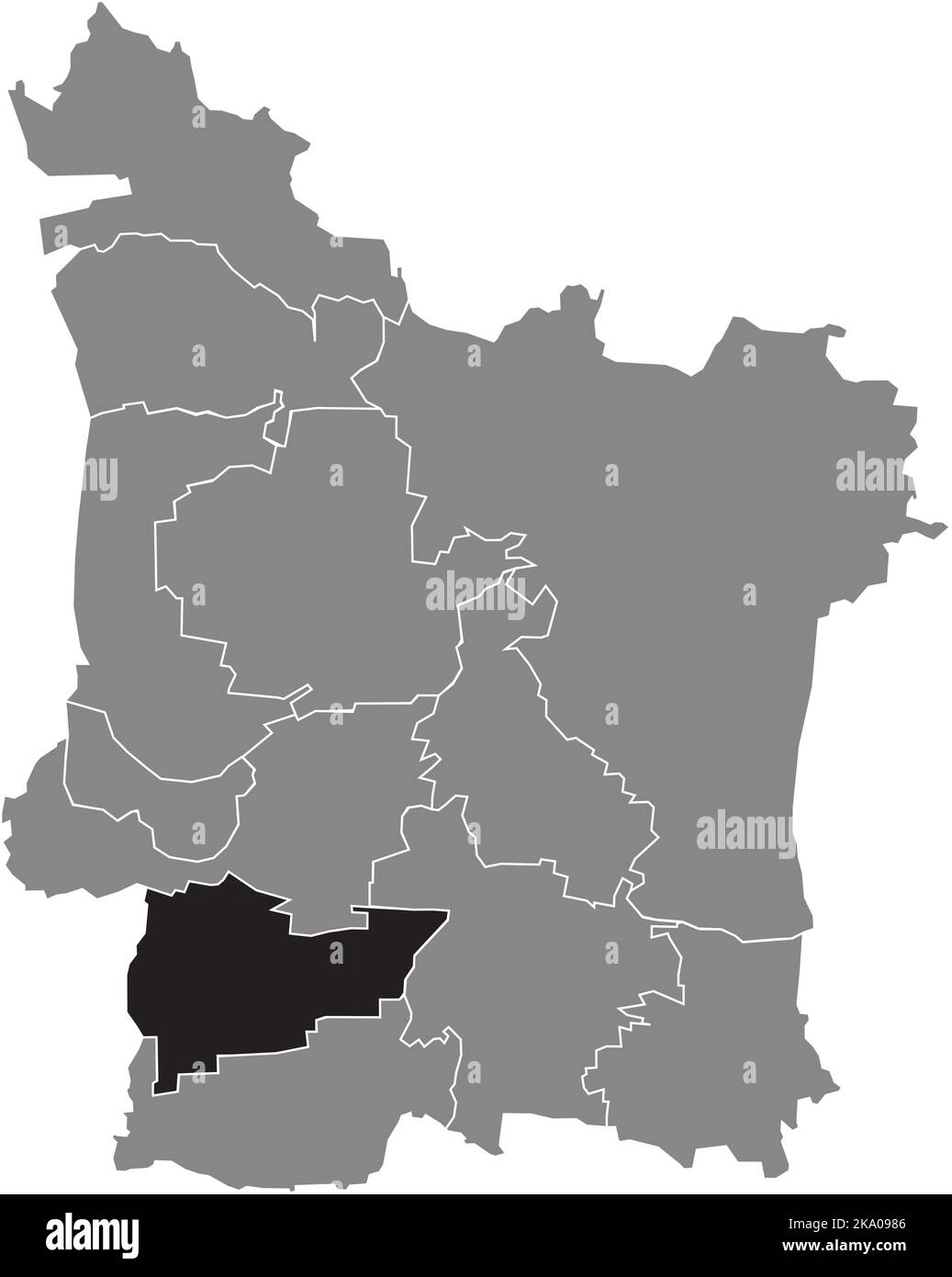 Lageplan des KREISES KRIEGENBRUNN, ERLANGEN Stock Vektorhttps://www.alamy.de/image-license-details/?v=1https://www.alamy.de/lageplan-des-kreises-kriegenbrunn-erlangen-image488044150.html
RF2KA0986–Lageplan des KREISES KRIEGENBRUNN, ERLANGEN
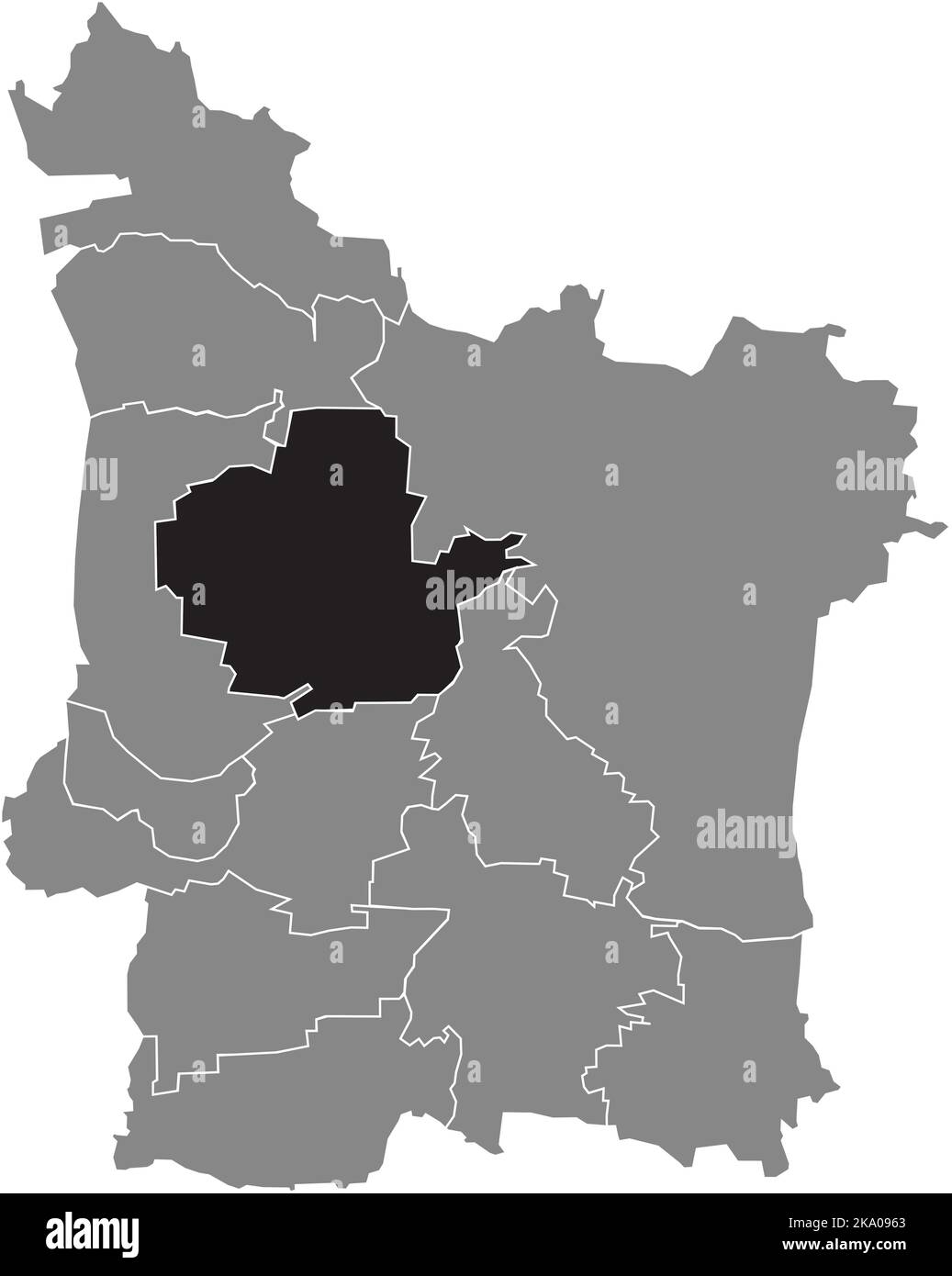 Lageplan des BEZIRKS BÜCHENBACH, ERLANGEN Stock Vektorhttps://www.alamy.de/image-license-details/?v=1https://www.alamy.de/lageplan-des-bezirks-buchenbach-erlangen-image488044091.html
RF2KA0963–Lageplan des BEZIRKS BÜCHENBACH, ERLANGEN
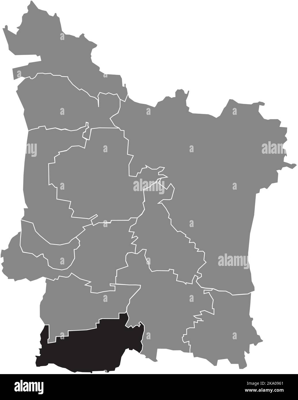 Lageplan des BEZIRKS HÜTTENDORF, ERLANGEN Stock Vektorhttps://www.alamy.de/image-license-details/?v=1https://www.alamy.de/lageplan-des-bezirks-huttendorf-erlangen-image488044089.html
RF2KA0961–Lageplan des BEZIRKS HÜTTENDORF, ERLANGEN
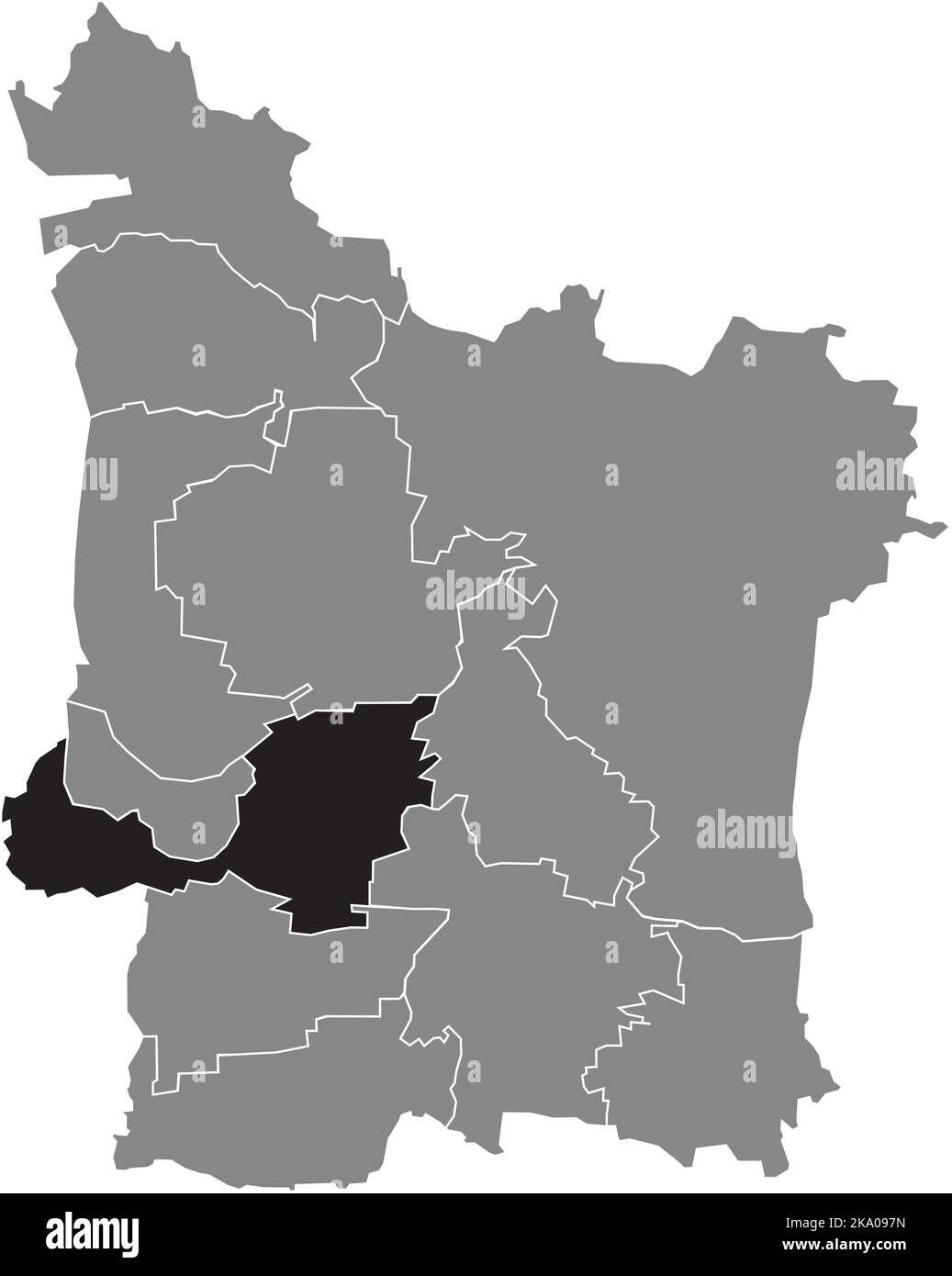 Lageplan des BEZIRKS FRAUENAURACH, ERLANGEN Stock Vektorhttps://www.alamy.de/image-license-details/?v=1https://www.alamy.de/lageplan-des-bezirks-frauenaurach-erlangen-image488044137.html
RF2KA097N–Lageplan des BEZIRKS FRAUENAURACH, ERLANGEN
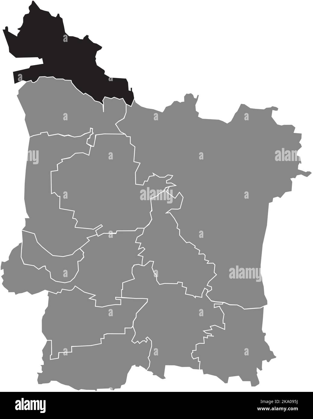 Lageplan des BEZIRKS GROSSDECHSENDORF, ERLANGEN Stock Vektorhttps://www.alamy.de/image-license-details/?v=1https://www.alamy.de/lageplan-des-bezirks-grossdechsendorf-erlangen-image488044078.html
RF2KA095J–Lageplan des BEZIRKS GROSSDECHSENDORF, ERLANGEN
 Lageplan des STADTTEILS BRUCK, ERLANGEN Stock Vektorhttps://www.alamy.de/image-license-details/?v=1https://www.alamy.de/lageplan-des-stadtteils-bruck-erlangen-image488044080.html
RF2KA095M–Lageplan des STADTTEILS BRUCK, ERLANGEN
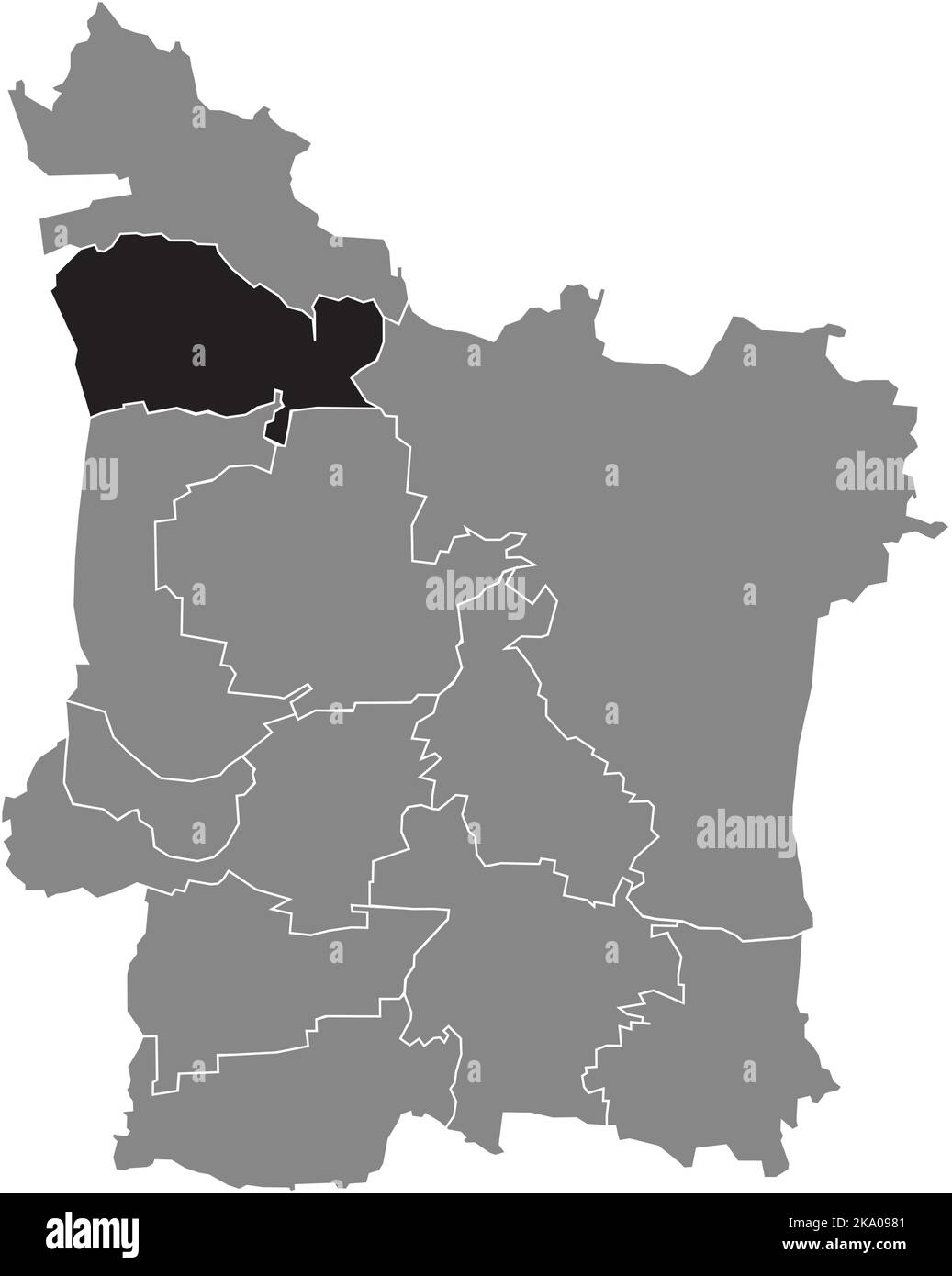 Lageplan des STADTTEILS MÖNAU, ERLANGEN Stock Vektorhttps://www.alamy.de/image-license-details/?v=1https://www.alamy.de/lageplan-des-stadtteils-monau-erlangen-image488044145.html
RF2KA0981–Lageplan des STADTTEILS MÖNAU, ERLANGEN
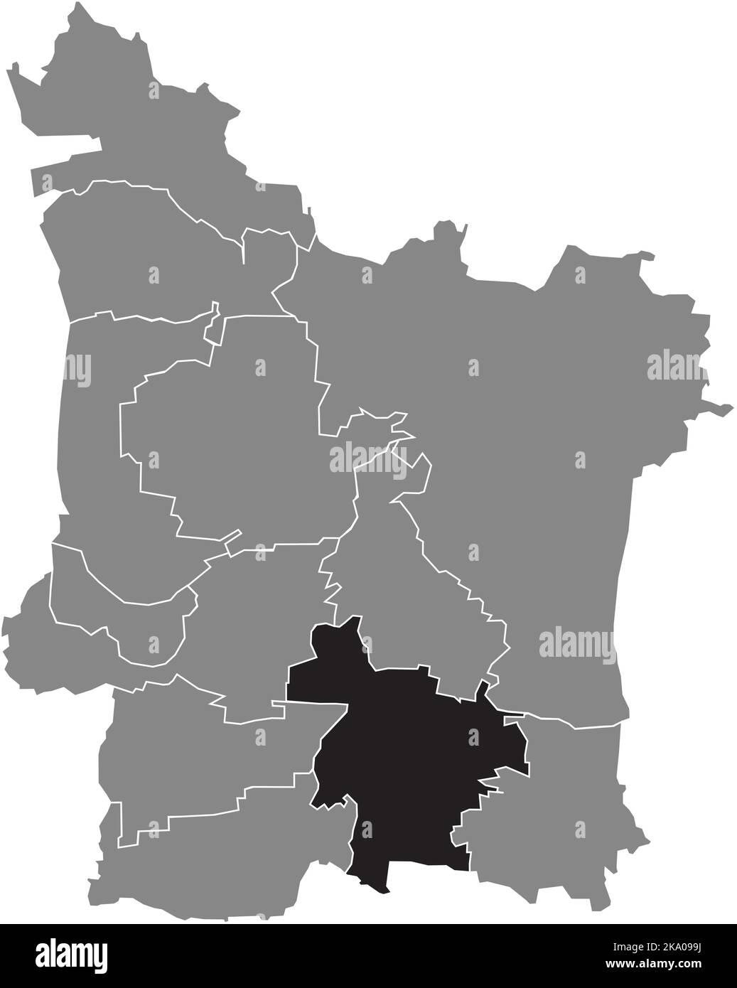 Lageplan des STADTTEILS ELTERSDORF, ERLANGEN Stock Vektorhttps://www.alamy.de/image-license-details/?v=1https://www.alamy.de/lageplan-des-stadtteils-eltersdorf-erlangen-image488044190.html
RF2KA099J–Lageplan des STADTTEILS ELTERSDORF, ERLANGEN
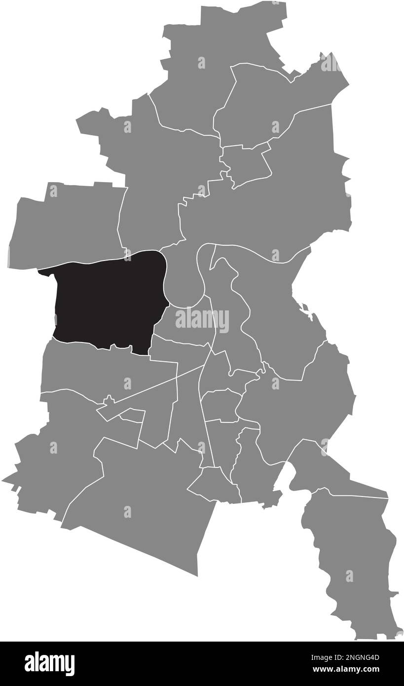 Lageplan der GROSSKÜHNAU BOROUGH, DESSAU Stock Vektorhttps://www.alamy.de/image-license-details/?v=1https://www.alamy.de/lageplan-der-grosskuhnau-borough-dessau-image526619197.html
RF2NGNG4D–Lageplan der GROSSKÜHNAU BOROUGH, DESSAU
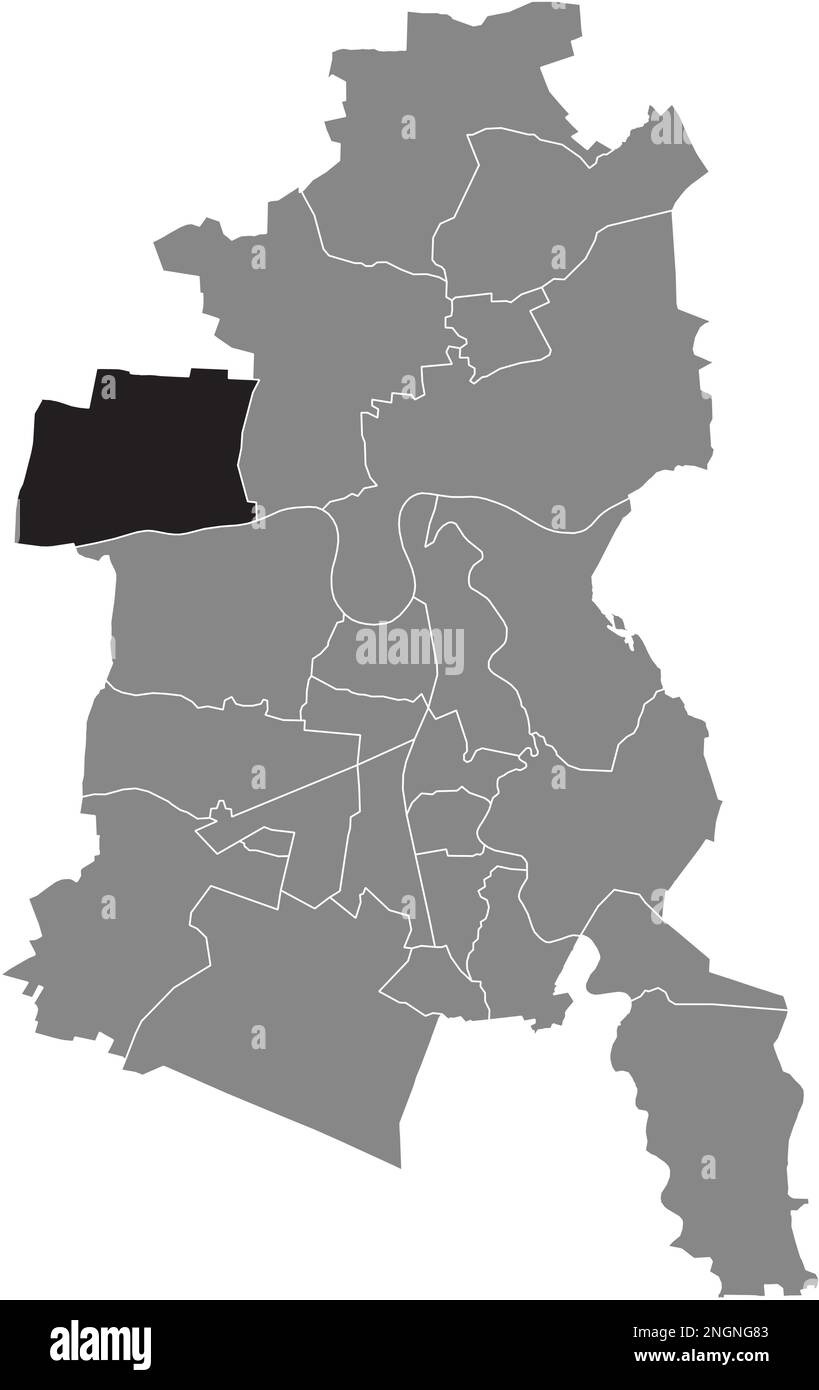 Ortungskarte des BRAMBACH-BEZIRKS, DESSAU Stock Vektorhttps://www.alamy.de/image-license-details/?v=1https://www.alamy.de/ortungskarte-des-brambach-bezirks-dessau-image526619299.html
RF2NGNG83–Ortungskarte des BRAMBACH-BEZIRKS, DESSAU
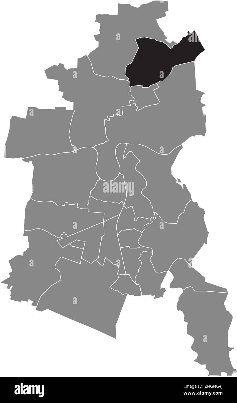 Lageplan des MÜHLSTEDT BOROUGH, DESSAU Stock Vektorhttps://www.alamy.de/image-license-details/?v=1https://www.alamy.de/lageplan-des-muhlstedt-borough-dessau-image526619202.html
RF2NGNG4J–Lageplan des MÜHLSTEDT BOROUGH, DESSAU
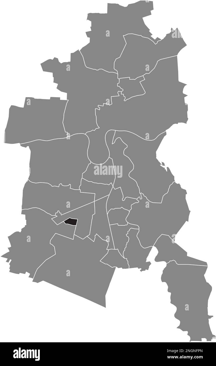 Ortskarte des ZOBERBERG BOROUGH, DESSAU Stock Vektorhttps://www.alamy.de/image-license-details/?v=1https://www.alamy.de/ortskarte-des-zoberberg-borough-dessau-image526618925.html
RF2NGNFPN–Ortskarte des ZOBERBERG BOROUGH, DESSAU
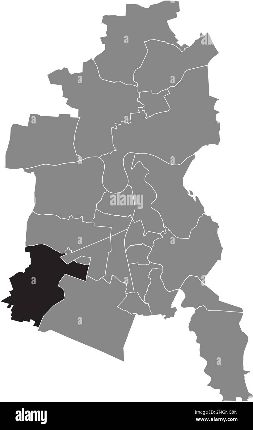 Ortskarte des MOSIGKAU BOROUGH, DESSAU Stock Vektorhttps://www.alamy.de/image-license-details/?v=1https://www.alamy.de/ortskarte-des-mosigkau-borough-dessau-image526619317.html
RF2NGNG8N–Ortskarte des MOSIGKAU BOROUGH, DESSAU
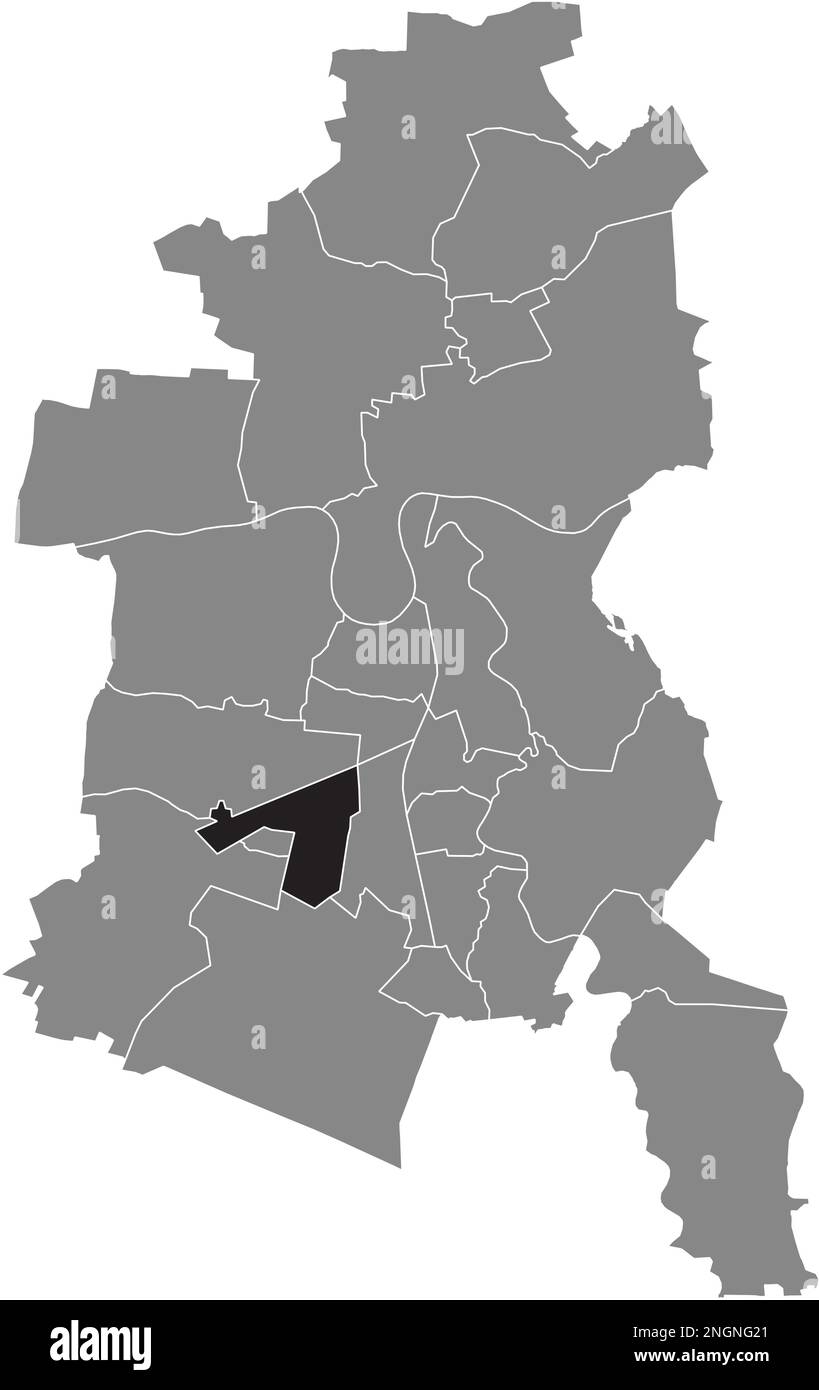 Ortskarte der ALTEN BOROUGH, DESSAU Stock Vektorhttps://www.alamy.de/image-license-details/?v=1https://www.alamy.de/ortskarte-der-alten-borough-dessau-image526619129.html
RF2NGNG21–Ortskarte der ALTEN BOROUGH, DESSAU
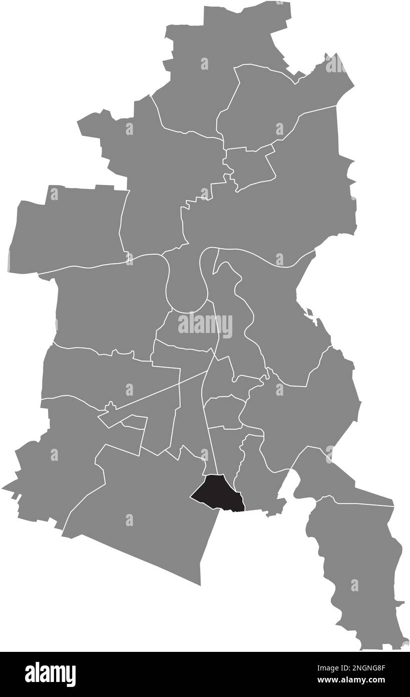 Lageplan der HAIDEBURG BOROUGH, DESSAU Stock Vektorhttps://www.alamy.de/image-license-details/?v=1https://www.alamy.de/lageplan-der-haideburg-borough-dessau-image526619311.html
RF2NGNG8F–Lageplan der HAIDEBURG BOROUGH, DESSAU
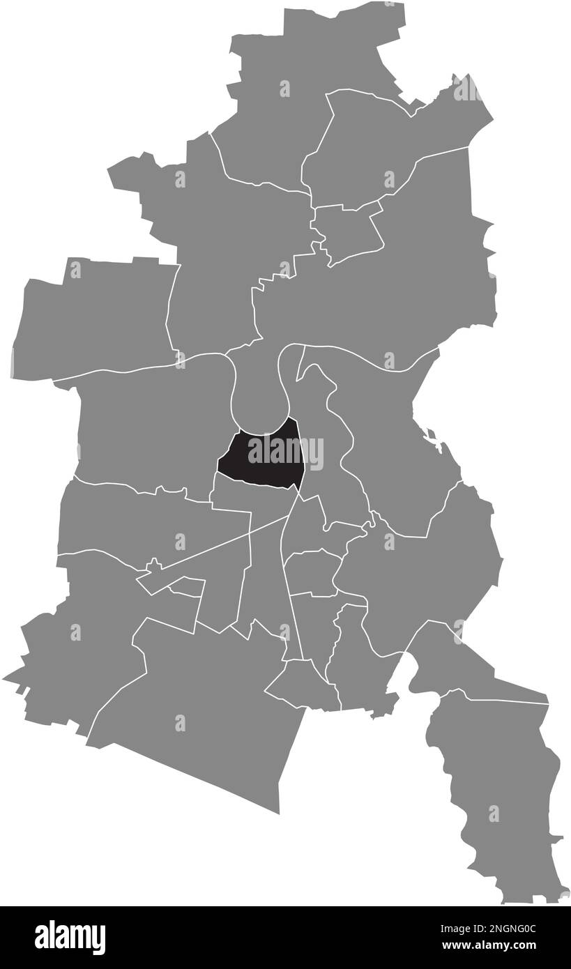 Ortskarte des ZIEBIGK BOROUGH, DESSAU Stock Vektorhttps://www.alamy.de/image-license-details/?v=1https://www.alamy.de/ortskarte-des-ziebigk-borough-dessau-image526619084.html
RF2NGNG0C–Ortskarte des ZIEBIGK BOROUGH, DESSAU
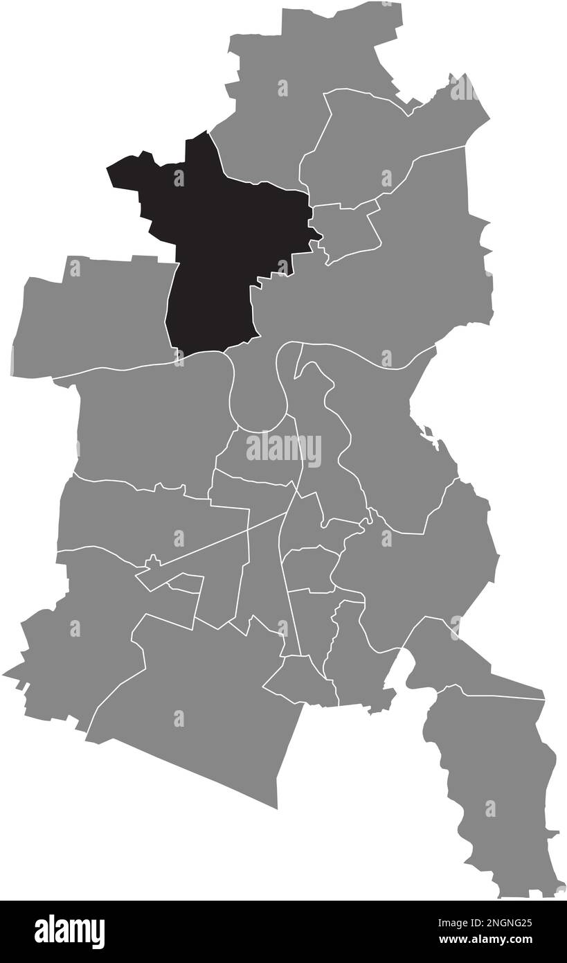 Ortungskarte der RODLEBEN BOROUGH, DESSAU Stock Vektorhttps://www.alamy.de/image-license-details/?v=1https://www.alamy.de/ortungskarte-der-rodleben-borough-dessau-image526619133.html
RF2NGNG25–Ortungskarte der RODLEBEN BOROUGH, DESSAU
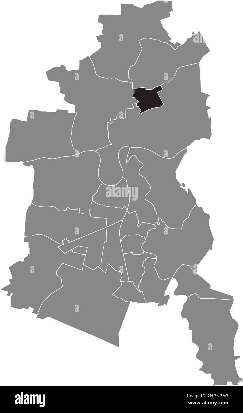 Ortskarte der MEINSDORF BOROUGH, DESSAU Stock Vektorhttps://www.alamy.de/image-license-details/?v=1https://www.alamy.de/ortskarte-der-meinsdorf-borough-dessau-image526619368.html
RF2NGNGAG–Ortskarte der MEINSDORF BOROUGH, DESSAU
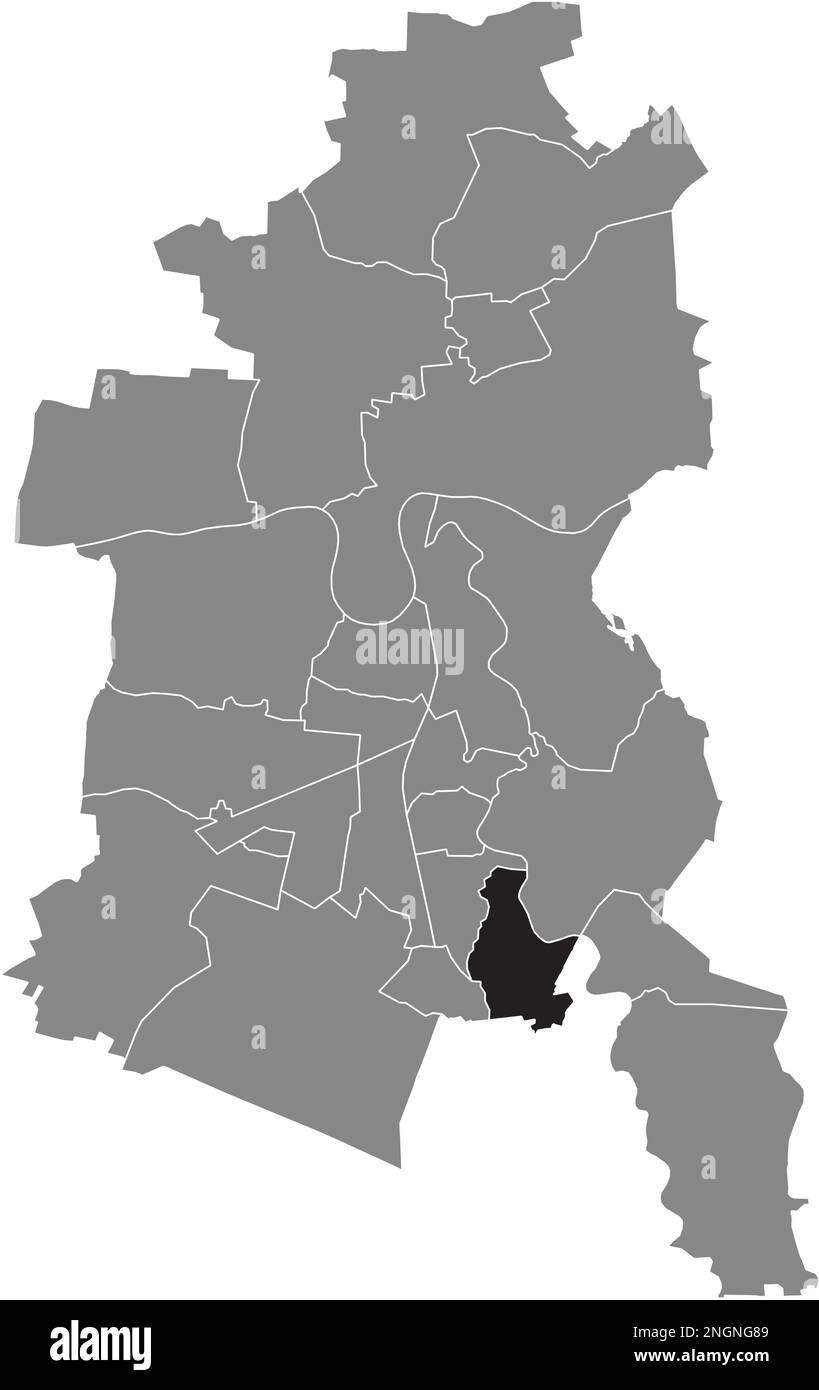 Ortskarte des TÖRTEN-BEZIRKS, DESSAU Stock Vektorhttps://www.alamy.de/image-license-details/?v=1https://www.alamy.de/ortskarte-des-torten-bezirks-dessau-image526619305.html
RF2NGNG89–Ortskarte des TÖRTEN-BEZIRKS, DESSAU
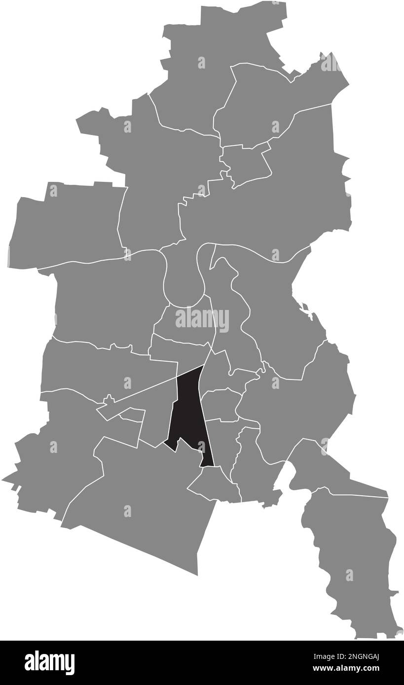 Ortungskarte des WEST BOROUGH, DESSAU Stock Vektorhttps://www.alamy.de/image-license-details/?v=1https://www.alamy.de/ortungskarte-des-west-borough-dessau-image526619370.html
RF2NGNGAJ–Ortungskarte des WEST BOROUGH, DESSAU
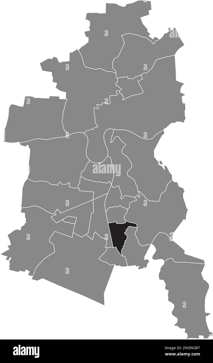 Ortskarte des Süd-BEZIRKS, DESSAU Stock Vektorhttps://www.alamy.de/image-license-details/?v=1https://www.alamy.de/ortskarte-des-sud-bezirks-dessau-image526619320.html
RF2NGNG8T–Ortskarte des Süd-BEZIRKS, DESSAU
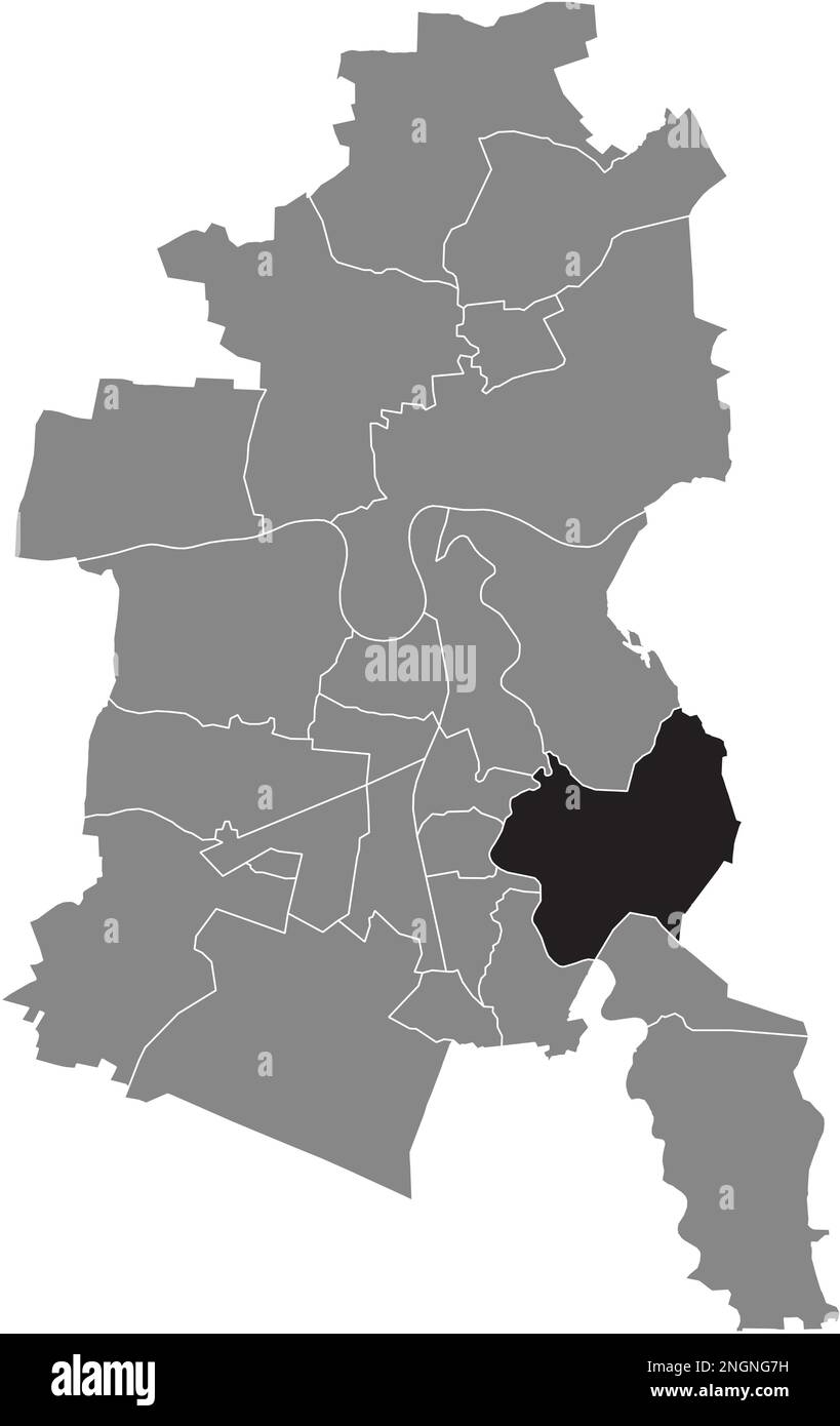 Ortskarte des MILDENSEE BOROUGH, DESSAU Stock Vektorhttps://www.alamy.de/image-license-details/?v=1https://www.alamy.de/ortskarte-des-mildensee-borough-dessau-image526619285.html
RF2NGNG7H–Ortskarte des MILDENSEE BOROUGH, DESSAU
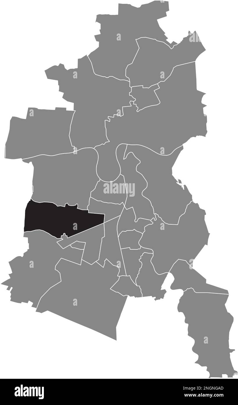 Lageplan des KLEINKÜHNAU BOROUGH, DESSAU Stock Vektorhttps://www.alamy.de/image-license-details/?v=1https://www.alamy.de/lageplan-des-kleinkuhnau-borough-dessau-image526619365.html
RF2NGNGAD–Lageplan des KLEINKÜHNAU BOROUGH, DESSAU
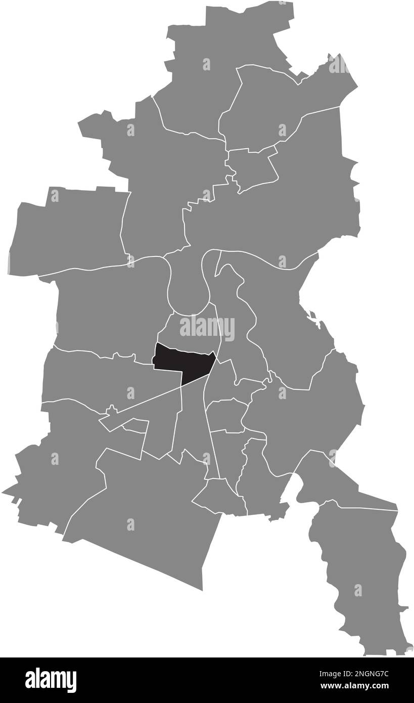 Ortungskarte des SIEDLUNG BOROUGH, DESSAU Stock Vektorhttps://www.alamy.de/image-license-details/?v=1https://www.alamy.de/ortungskarte-des-siedlung-borough-dessau-image526619280.html
RF2NGNG7C–Ortungskarte des SIEDLUNG BOROUGH, DESSAU
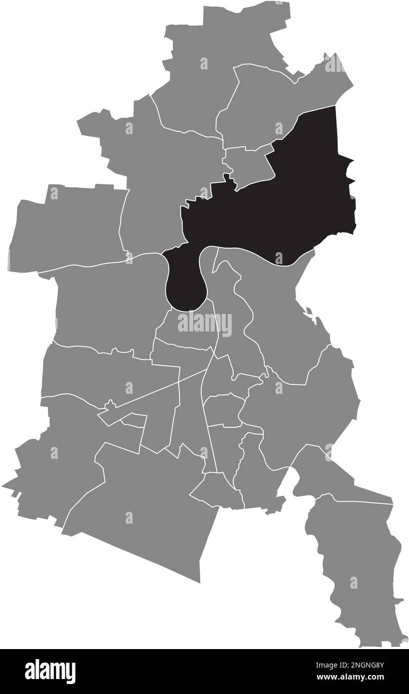 Ortskarte des ROSSLAU BOROUGH, DESSAU Stock Vektorhttps://www.alamy.de/image-license-details/?v=1https://www.alamy.de/ortskarte-des-rosslau-borough-dessau-image526619323.html
RF2NGNG8Y–Ortskarte des ROSSLAU BOROUGH, DESSAU
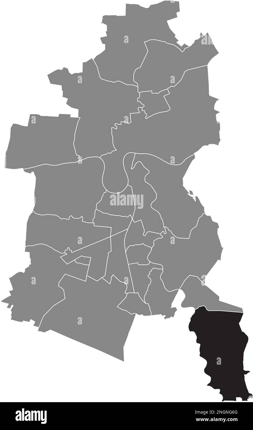 Ortskarte der SOLLNITZ BOROUGH, DESSAU Stock Vektorhttps://www.alamy.de/image-license-details/?v=1https://www.alamy.de/ortskarte-der-sollnitz-borough-dessau-image526619256.html
RF2NGNG6G–Ortskarte der SOLLNITZ BOROUGH, DESSAU
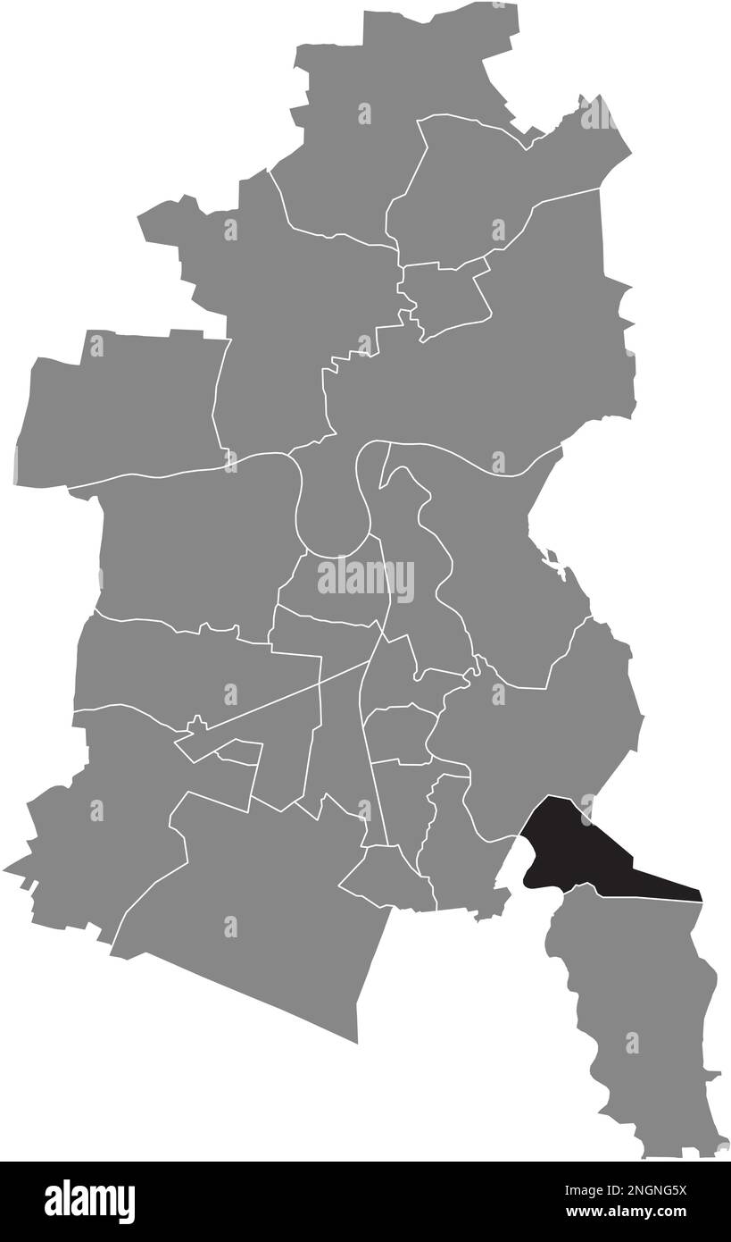 Ortskarte des KLEUTSCH BOROUGH, DESSAU Stock Vektorhttps://www.alamy.de/image-license-details/?v=1https://www.alamy.de/ortskarte-des-kleutsch-borough-dessau-image526619238.html
RF2NGNG5X–Ortskarte des KLEUTSCH BOROUGH, DESSAU
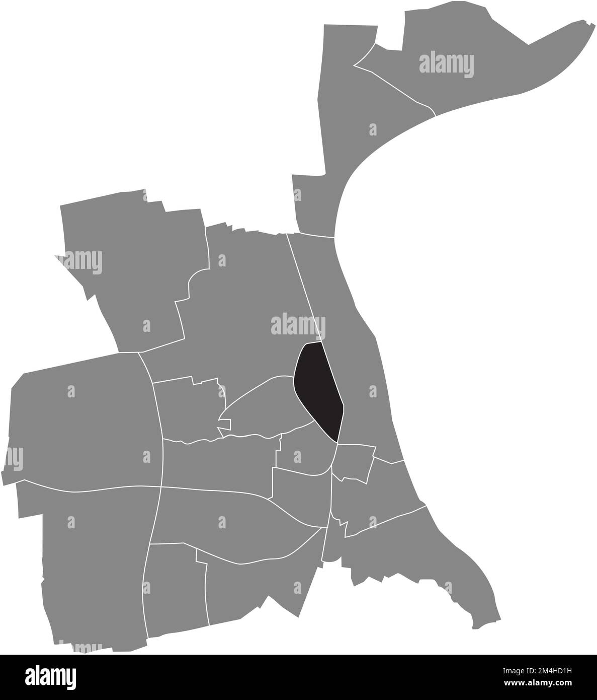 Ortungskarte des STADTVIERTELS NEUHAUSEN, WÜRMER Stock Vektorhttps://www.alamy.de/image-license-details/?v=1https://www.alamy.de/ortungskarte-des-stadtviertels-neuhausen-wurmer-image501942717.html
RF2M4HD1H–Ortungskarte des STADTVIERTELS NEUHAUSEN, WÜRMER
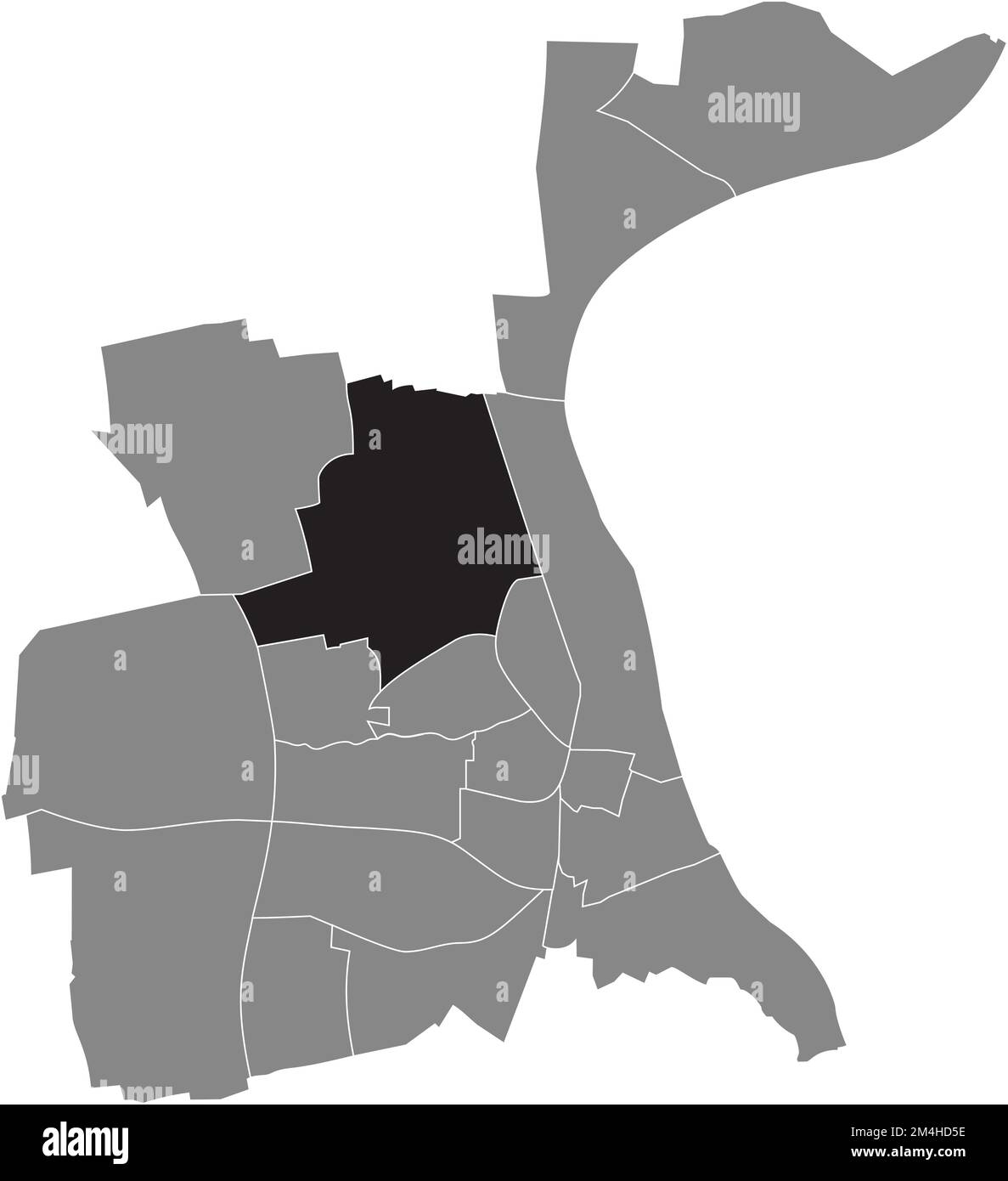 Ortungskarte des HERRNSHEIM-VIERTELS, WÜRMER Stock Vektorhttps://www.alamy.de/image-license-details/?v=1https://www.alamy.de/ortungskarte-des-herrnsheim-viertels-wurmer-image501942826.html
RF2M4HD5E–Ortungskarte des HERRNSHEIM-VIERTELS, WÜRMER
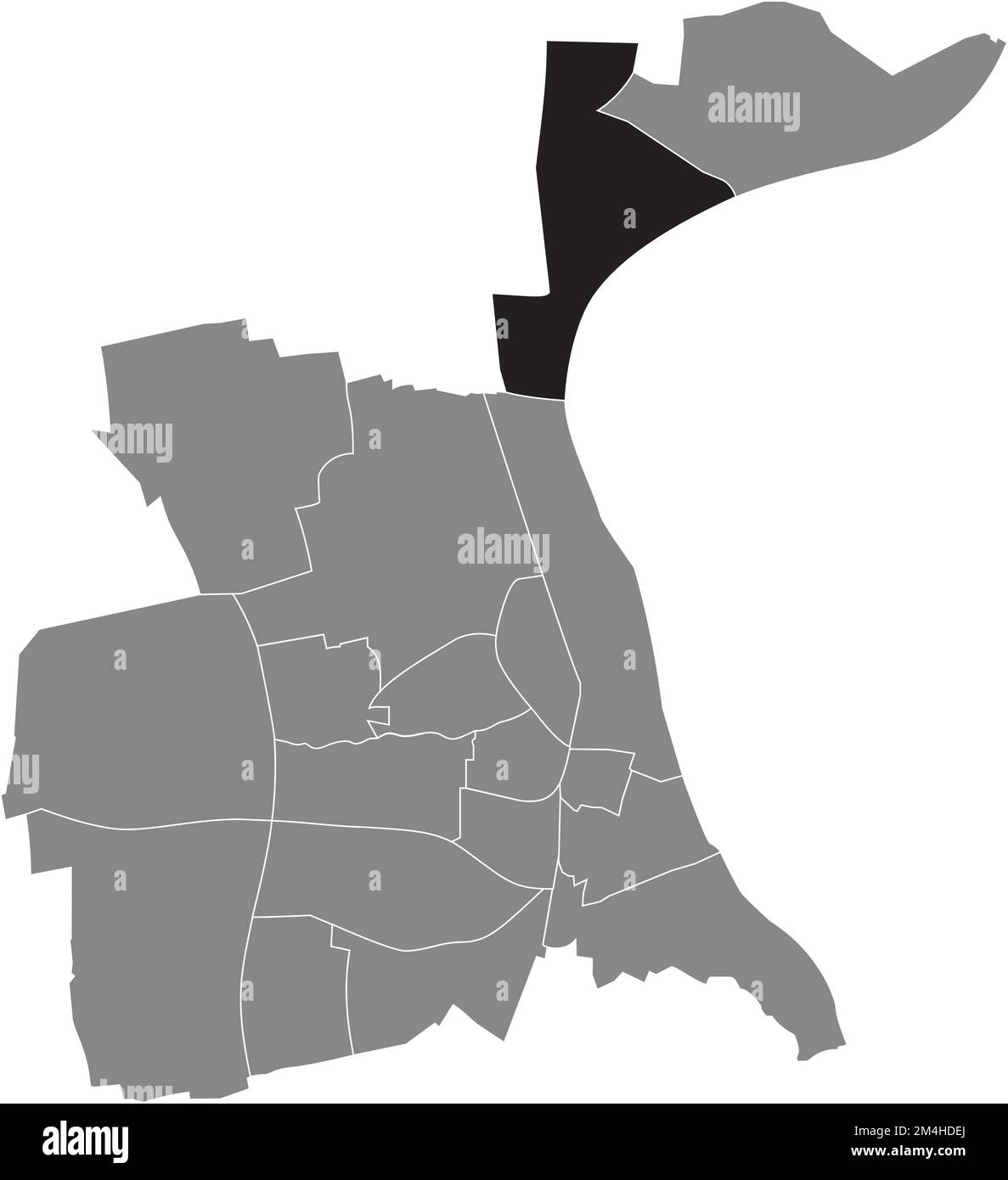 Lageplan des RHEINDÜRKHEIM-VIERTELS, WÜRMER Stock Vektorhttps://www.alamy.de/image-license-details/?v=1https://www.alamy.de/lageplan-des-rheindurkheim-viertels-wurmer-image501943082.html
RF2M4HDEJ–Lageplan des RHEINDÜRKHEIM-VIERTELS, WÜRMER
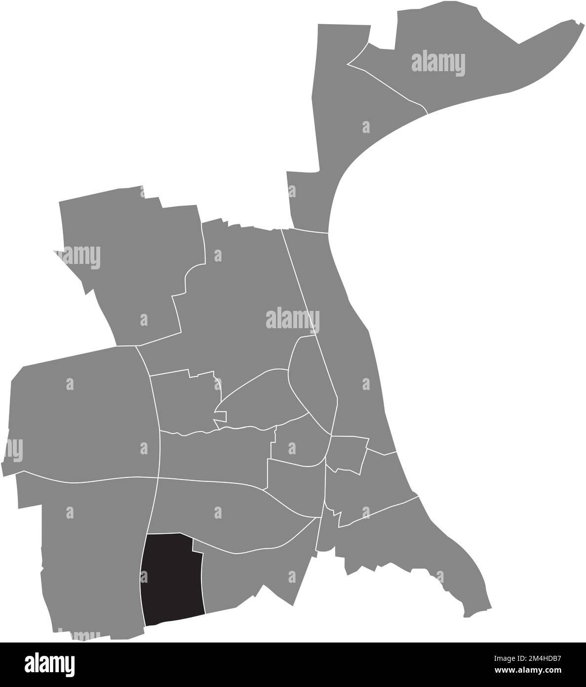 Lageplan des WIESOPPENHEIM-VIERTELS, WÜRMER Stock Vektorhttps://www.alamy.de/image-license-details/?v=1https://www.alamy.de/lageplan-des-wiesoppenheim-viertels-wurmer-image501942987.html
RF2M4HDB7–Lageplan des WIESOPPENHEIM-VIERTELS, WÜRMER
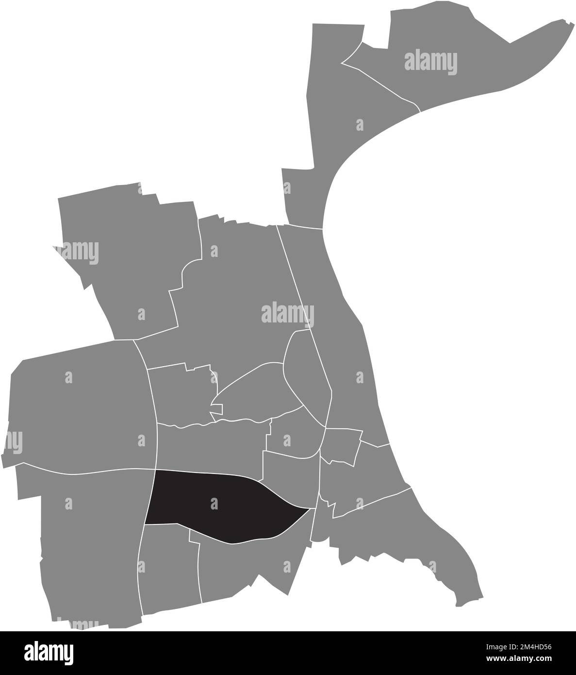 Ortungskarte des HORCHHEIM-VIERTELS, WÜRMER Stock Vektorhttps://www.alamy.de/image-license-details/?v=1https://www.alamy.de/ortungskarte-des-horchheim-viertels-wurmer-image501942818.html
RF2M4HD56–Ortungskarte des HORCHHEIM-VIERTELS, WÜRMER
 Lageplan des PFIFFLIGHEIM-VIERTELS, WÜRMER Stock Vektorhttps://www.alamy.de/image-license-details/?v=1https://www.alamy.de/lageplan-des-pfiffligheim-viertels-wurmer-image501942698.html
RF2M4HD0X–Lageplan des PFIFFLIGHEIM-VIERTELS, WÜRMER
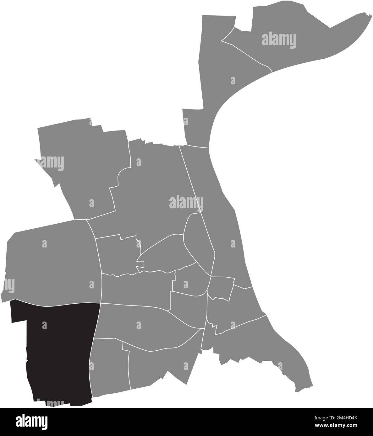 Ortungskarte des STADTVIERTELS HEPPENHEIM, WÜRMER Stock Vektorhttps://www.alamy.de/image-license-details/?v=1https://www.alamy.de/ortungskarte-des-stadtviertels-heppenheim-wurmer-image501942803.html
RF2M4HD4K–Ortungskarte des STADTVIERTELS HEPPENHEIM, WÜRMER
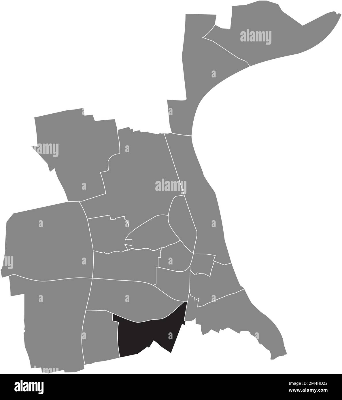 Ortungskarte des WEINSHEIM-VIERTELS, WÜRMER Stock Vektorhttps://www.alamy.de/image-license-details/?v=1https://www.alamy.de/ortungskarte-des-weinsheim-viertels-wurmer-image501942730.html
RF2M4HD22–Ortungskarte des WEINSHEIM-VIERTELS, WÜRMER
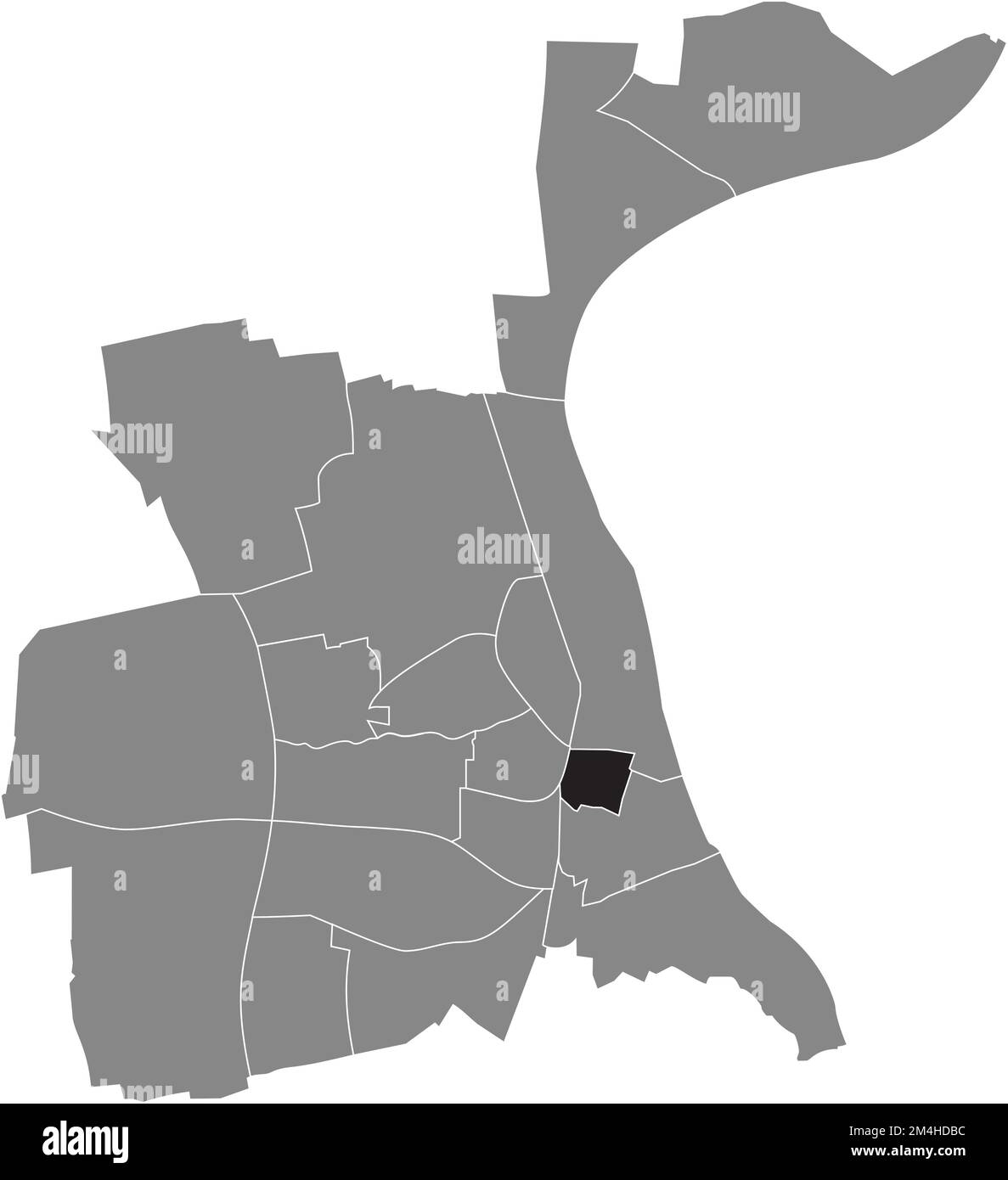 Ortungskarte des STADTVIERTELS, WÜRMER Stock Vektorhttps://www.alamy.de/image-license-details/?v=1https://www.alamy.de/ortungskarte-des-stadtviertels-wurmer-image501942992.html
RF2M4HDBC–Ortungskarte des STADTVIERTELS, WÜRMER
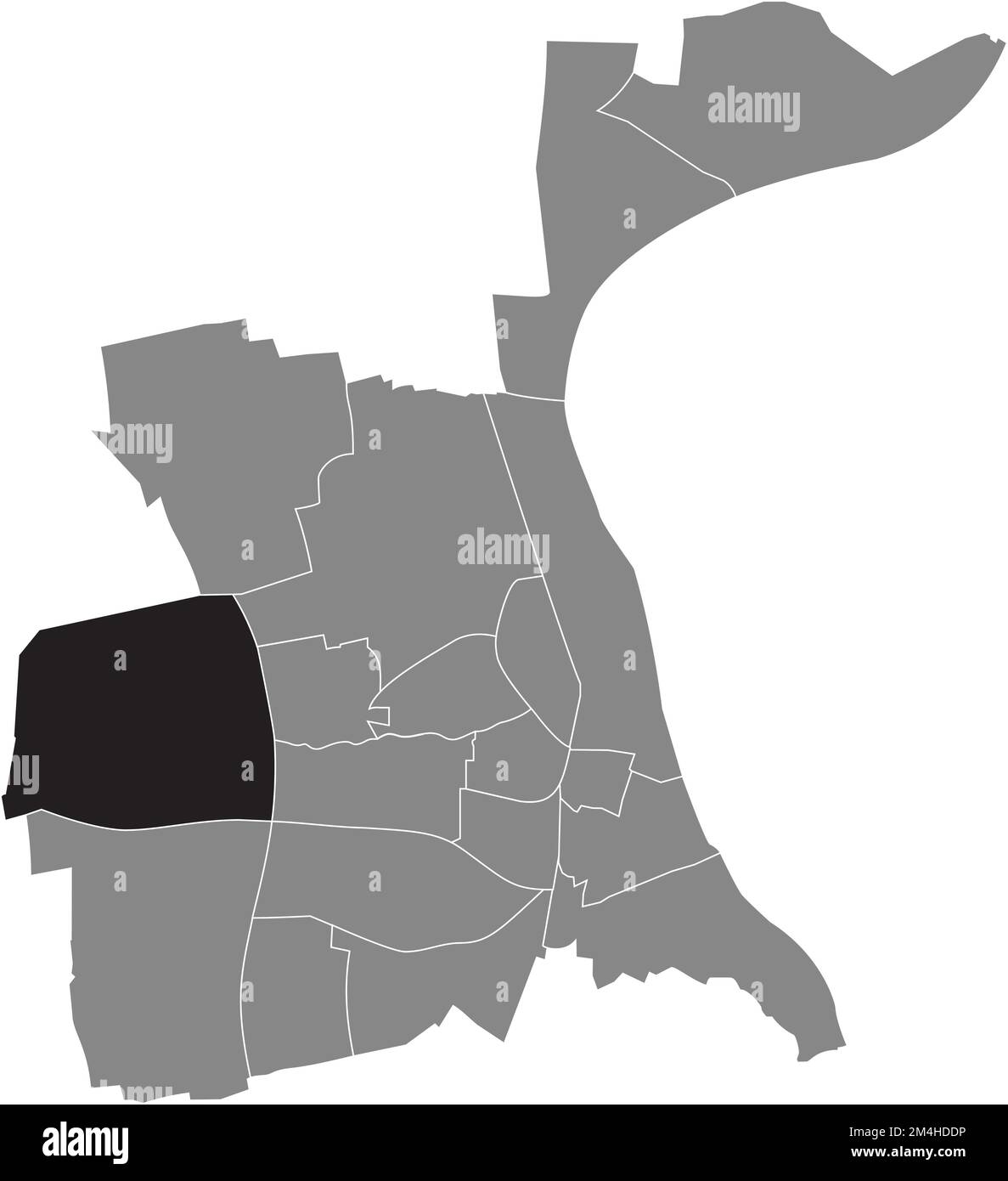 Ortungskarte des PFEDDERSHEIM-VIERTELS, WÜRMER Stock Vektorhttps://www.alamy.de/image-license-details/?v=1https://www.alamy.de/ortungskarte-des-pfeddersheim-viertels-wurmer-image501943058.html
RF2M4HDDP–Ortungskarte des PFEDDERSHEIM-VIERTELS, WÜRMER
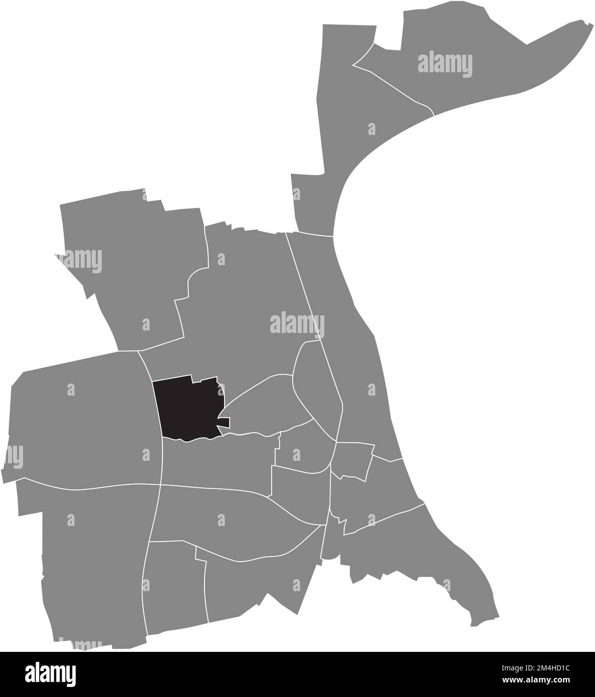 Lageplan des LEISELHEIM-VIERTELS, WÜRMER Stock Vektorhttps://www.alamy.de/image-license-details/?v=1https://www.alamy.de/lageplan-des-leiselheim-viertels-wurmer-image501942712.html
RF2M4HD1C–Lageplan des LEISELHEIM-VIERTELS, WÜRMER
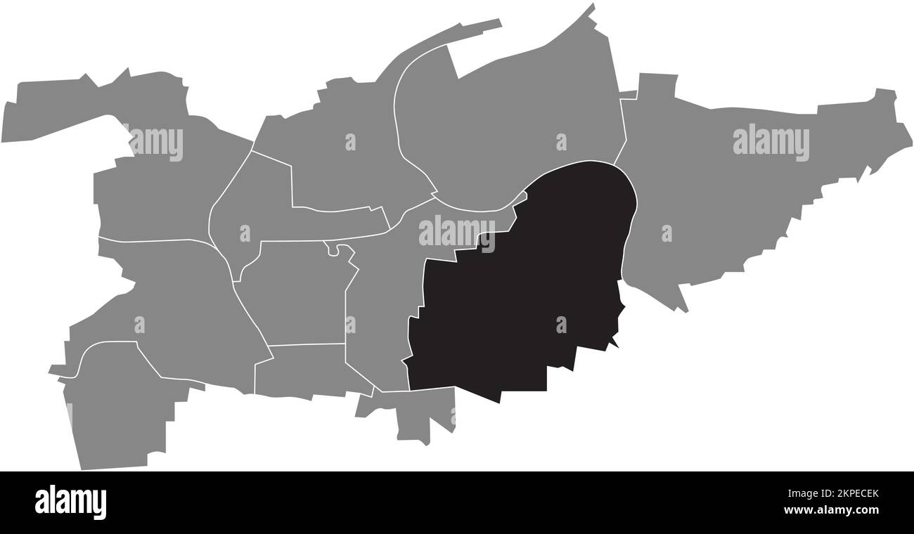 Ortskarte der GEMEINDE OSSWEIL, LUDWIGSBURG Stock Vektorhttps://www.alamy.de/image-license-details/?v=1https://www.alamy.de/ortskarte-der-gemeinde-ossweil-ludwigsburg-image495729883.html
RF2KPECEK–Ortskarte der GEMEINDE OSSWEIL, LUDWIGSBURG
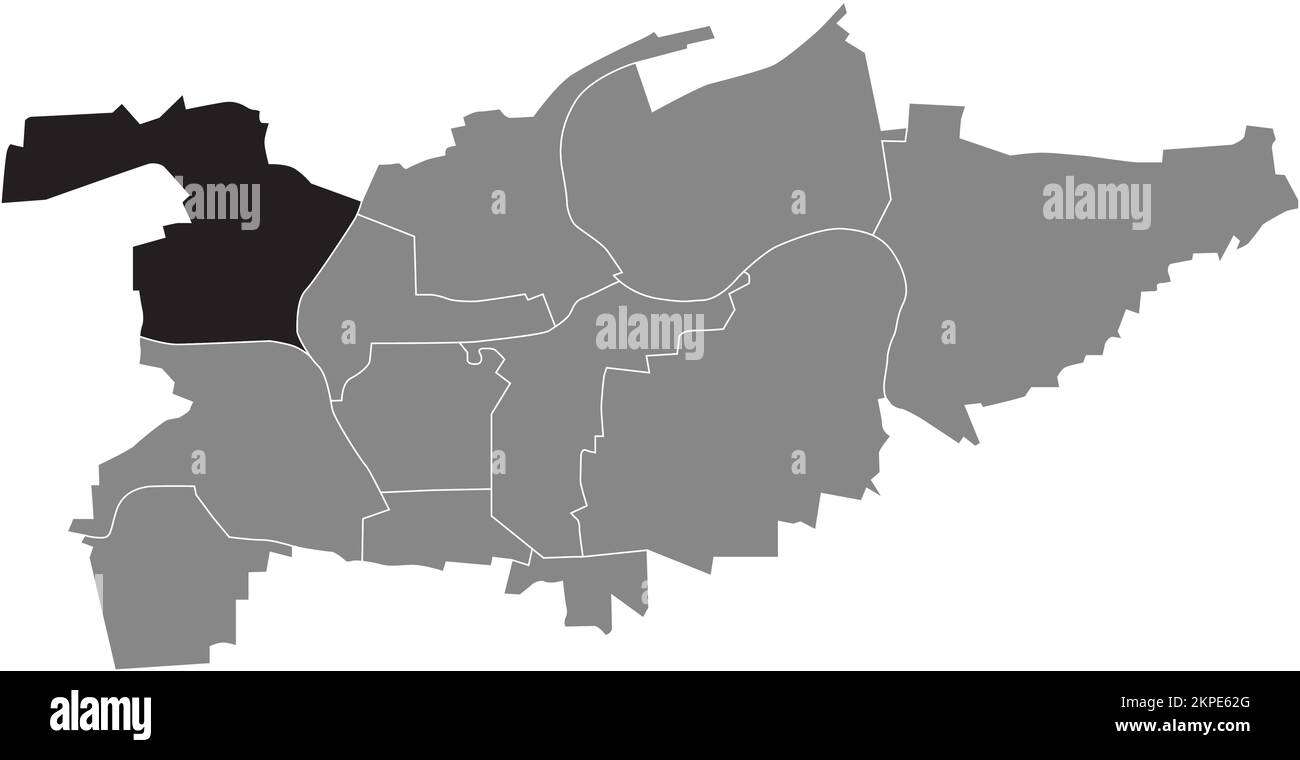 Ortskarte der GEMEINDE EGLOSHEIM, LUDWIGSBURG Stock Vektorhttps://www.alamy.de/image-license-details/?v=1https://www.alamy.de/ortskarte-der-gemeinde-eglosheim-ludwigsburg-image495724840.html
RF2KPE62G–Ortskarte der GEMEINDE EGLOSHEIM, LUDWIGSBURG
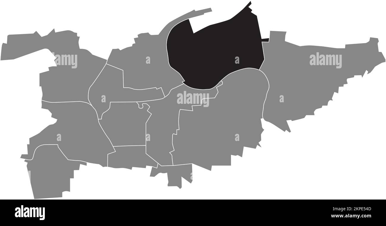 Ortskarte der GEMEINDE NECKARWEIHINGEN, LUDWIGSBURG Stock Vektorhttps://www.alamy.de/image-license-details/?v=1https://www.alamy.de/ortskarte-der-gemeinde-neckarweihingen-ludwigsburg-image495724109.html
RF2KPE54D–Ortskarte der GEMEINDE NECKARWEIHINGEN, LUDWIGSBURG
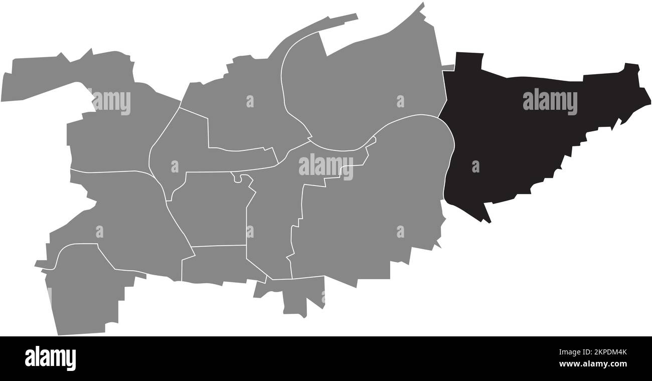 Ortskarte der GEMEINDE POPPENWEILER, LUDWIGSBURG Stock Vektorhttps://www.alamy.de/image-license-details/?v=1https://www.alamy.de/ortskarte-der-gemeinde-poppenweiler-ludwigsburg-image495713923.html
RF2KPDM4K–Ortskarte der GEMEINDE POPPENWEILER, LUDWIGSBURG
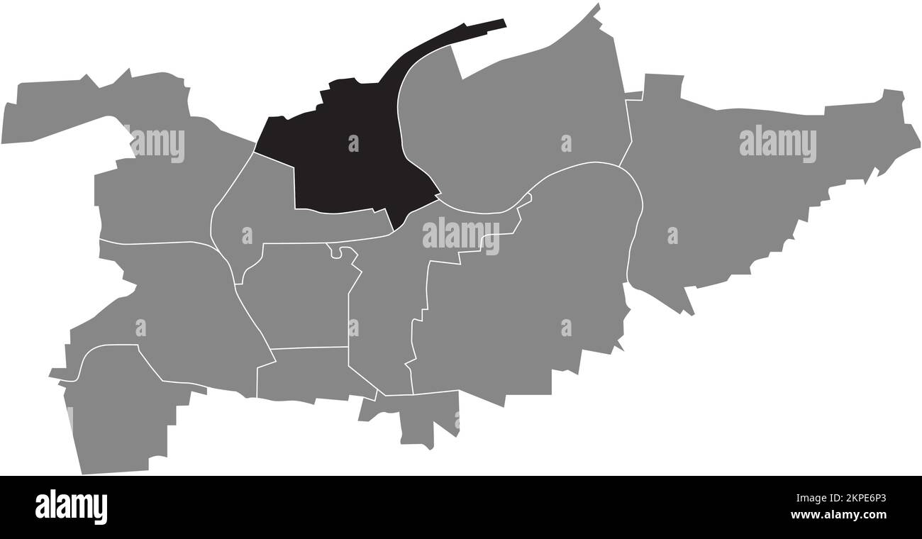 Ortskarte der GEMEINDE HOHENECK, LUDWIGSBURG Stock Vektorhttps://www.alamy.de/image-license-details/?v=1https://www.alamy.de/ortskarte-der-gemeinde-hoheneck-ludwigsburg-image495725387.html
RF2KPE6P3–Ortskarte der GEMEINDE HOHENECK, LUDWIGSBURG
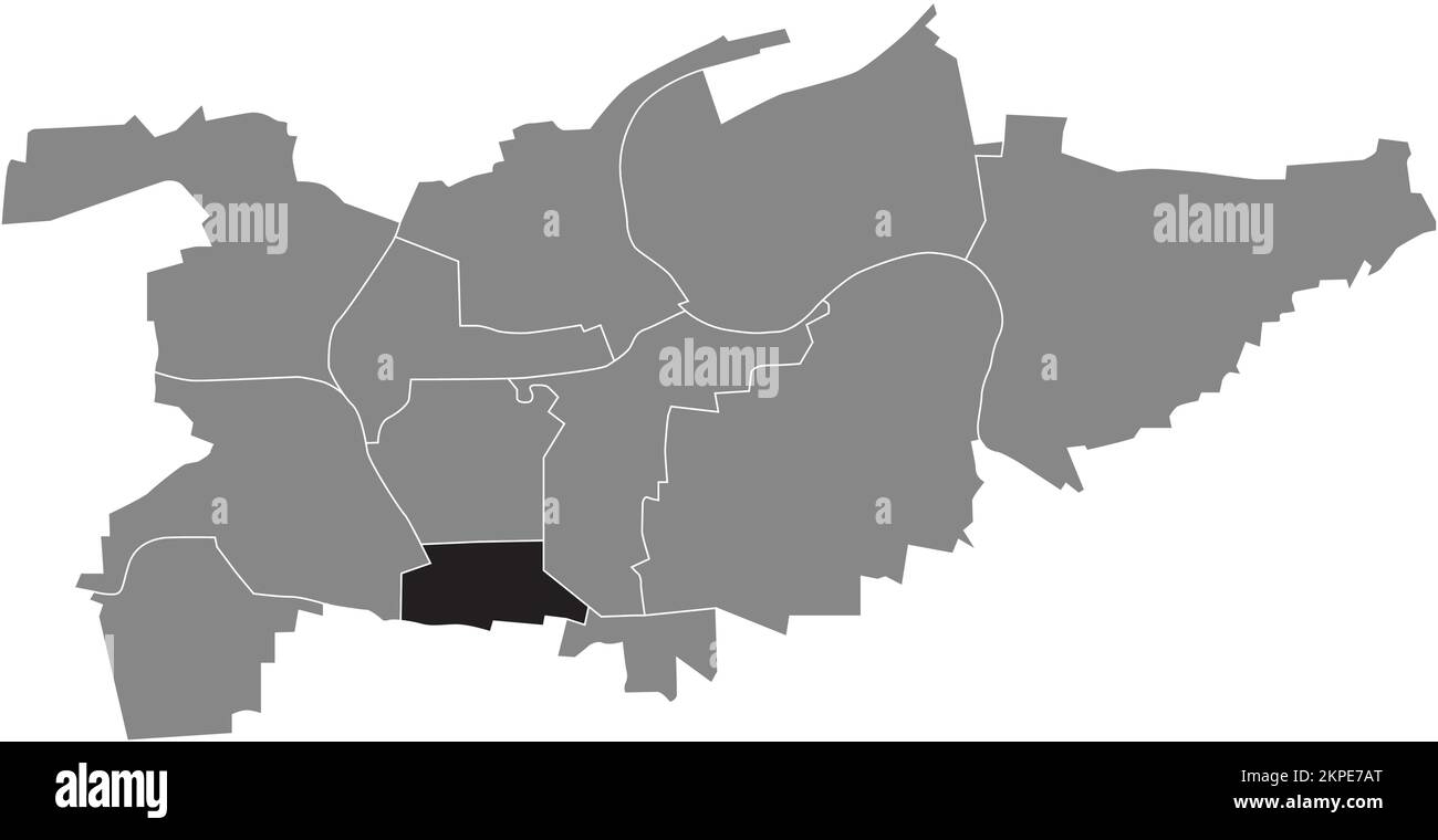 Ortskarte der Gemeinde Süd, LUDWIGSBURG Stock Vektorhttps://www.alamy.de/image-license-details/?v=1https://www.alamy.de/ortskarte-der-gemeinde-sud-ludwigsburg-image495725856.html
RF2KPE7AT–Ortskarte der Gemeinde Süd, LUDWIGSBURG
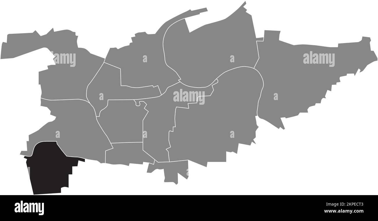 Ortskarte der GEMEINDE PFLUGFELDEN, LUDWIGSBURG Stock Vektorhttps://www.alamy.de/image-license-details/?v=1https://www.alamy.de/ortskarte-der-gemeinde-pflugfelden-ludwigsburg-image495730147.html
RF2KPECT3–Ortskarte der GEMEINDE PFLUGFELDEN, LUDWIGSBURG
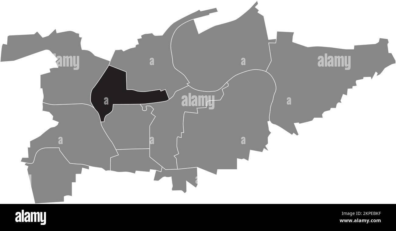 Ortskarte der Gemeinde Nord, LUDWIGSBURG Stock Vektorhttps://www.alamy.de/image-license-details/?v=1https://www.alamy.de/ortskarte-der-gemeinde-nord-ludwigsburg-image495729235.html
RF2KPEBKF–Ortskarte der Gemeinde Nord, LUDWIGSBURG
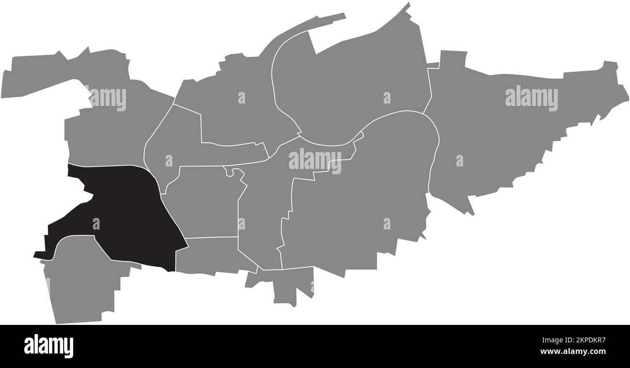 Ortskarte der GEMEINDE WEST, LUDWIGSBURG Stock Vektorhttps://www.alamy.de/image-license-details/?v=1https://www.alamy.de/ortskarte-der-gemeinde-west-ludwigsburg-image495713659.html
RF2KPDKR7–Ortskarte der GEMEINDE WEST, LUDWIGSBURG
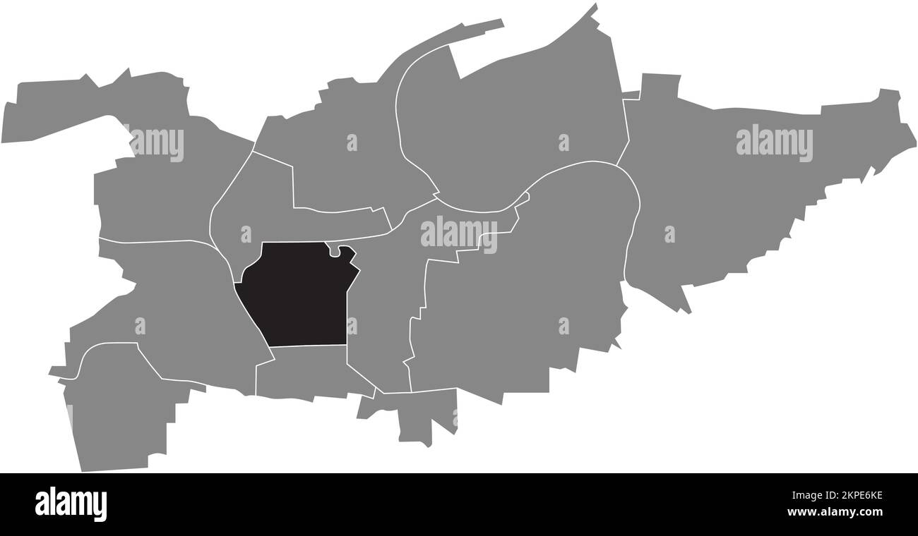 Ortskarte der GEMEINDE MITTE, LUDWIGSBURG Stock Vektorhttps://www.alamy.de/image-license-details/?v=1https://www.alamy.de/ortskarte-der-gemeinde-mitte-ludwigsburg-image495725314.html
RF2KPE6KE–Ortskarte der GEMEINDE MITTE, LUDWIGSBURG
 Lageplan der GEMEINDE OCHTERSUM, HILDESHEIM Stock Vektorhttps://www.alamy.de/image-license-details/?v=1https://www.alamy.de/lageplan-der-gemeinde-ochtersum-hildesheim-image487659267.html
RF2K9APAB–Lageplan der GEMEINDE OCHTERSUM, HILDESHEIM
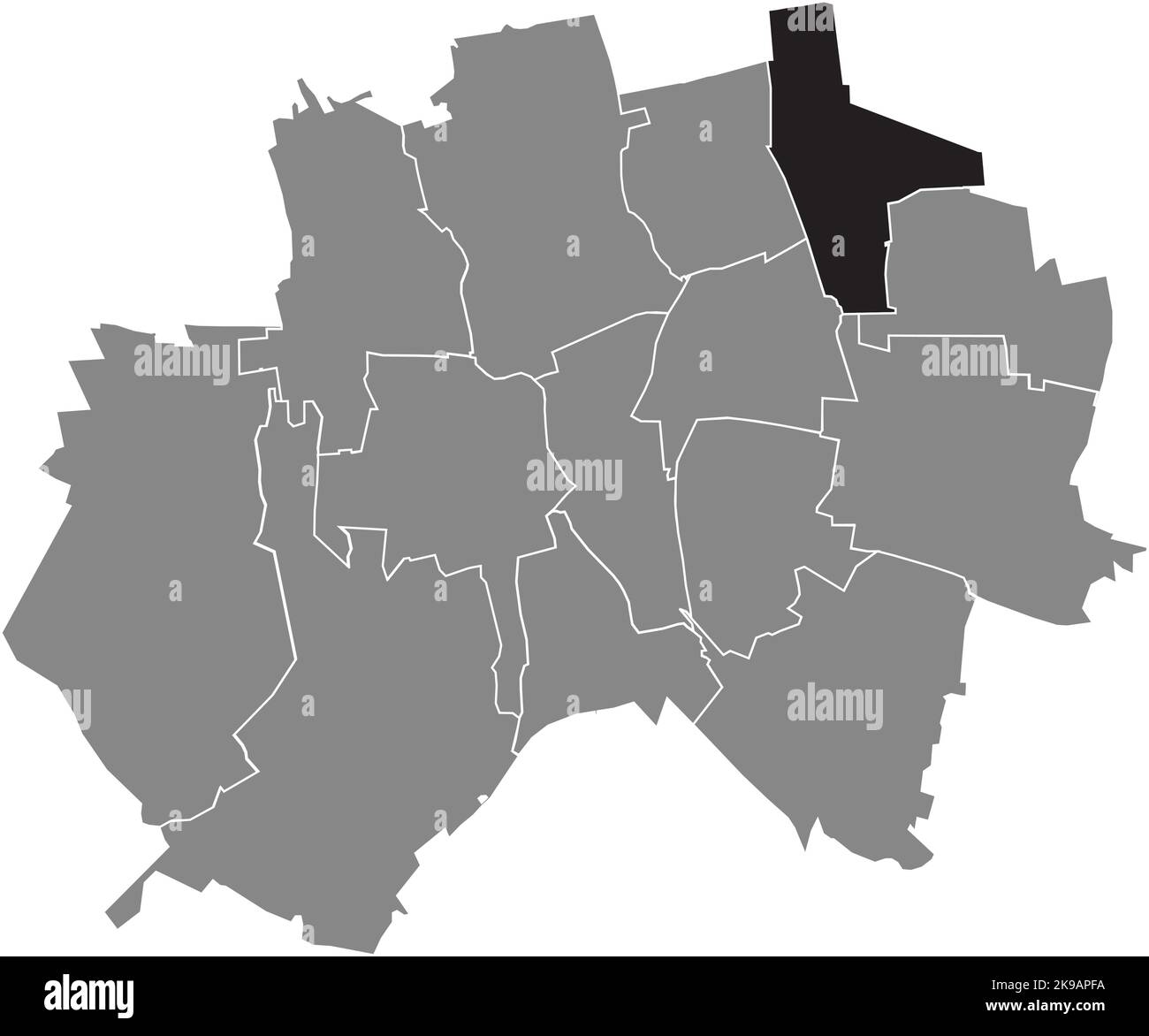 Lageplan der GEMEINDE BAVENSTEDT, HILDESHEIM Stock Vektorhttps://www.alamy.de/image-license-details/?v=1https://www.alamy.de/lageplan-der-gemeinde-bavenstedt-hildesheim-image487659406.html
RF2K9APFA–Lageplan der GEMEINDE BAVENSTEDT, HILDESHEIM
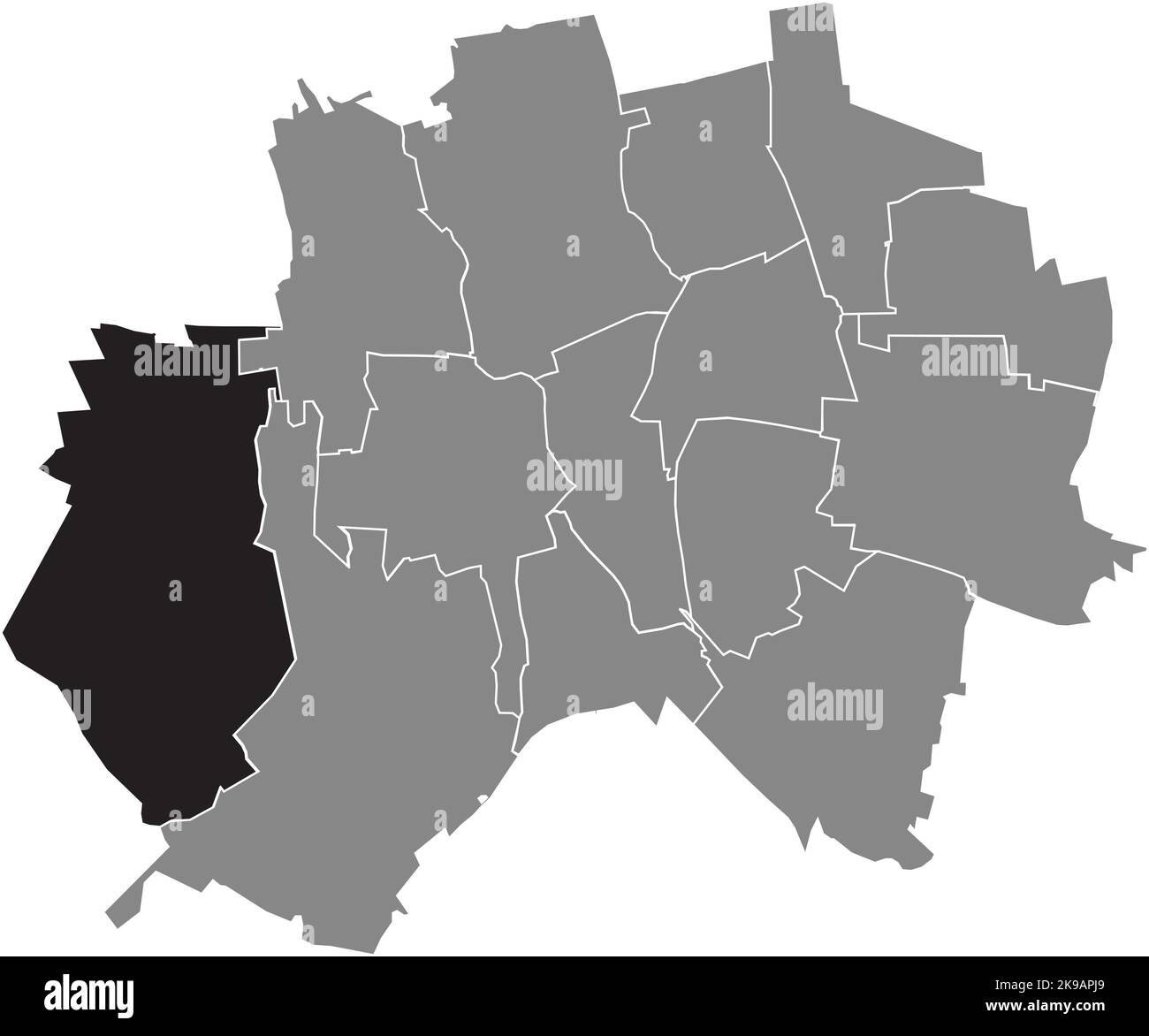 Lageplan der GEMEINDE SORSUM, HILDESHEIM Stock Vektorhttps://www.alamy.de/image-license-details/?v=1https://www.alamy.de/lageplan-der-gemeinde-sorsum-hildesheim-image487659489.html
RF2K9APJ9–Lageplan der GEMEINDE SORSUM, HILDESHEIM
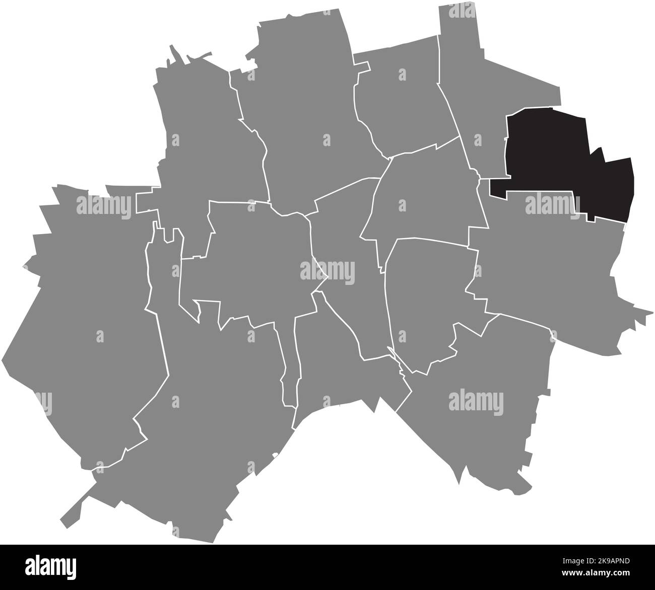 Lageplan der Gemeinde EINUM, HILDESHEIM Stock Vektorhttps://www.alamy.de/image-license-details/?v=1https://www.alamy.de/lageplan-der-gemeinde-einum-hildesheim-image487659577.html
RF2K9APND–Lageplan der Gemeinde EINUM, HILDESHEIM
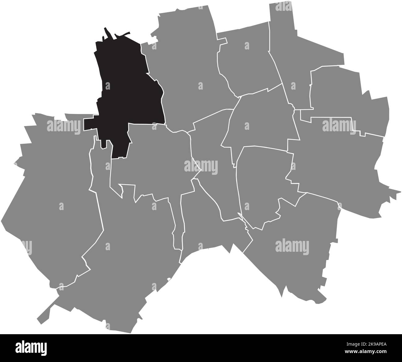 Lageplan der GEMEINDE HIMMELSTHÜR, HILDESHEIM Stock Vektorhttps://www.alamy.de/image-license-details/?v=1https://www.alamy.de/lageplan-der-gemeinde-himmelsthur-hildesheim-image487659378.html
RF2K9APEA–Lageplan der GEMEINDE HIMMELSTHÜR, HILDESHEIM
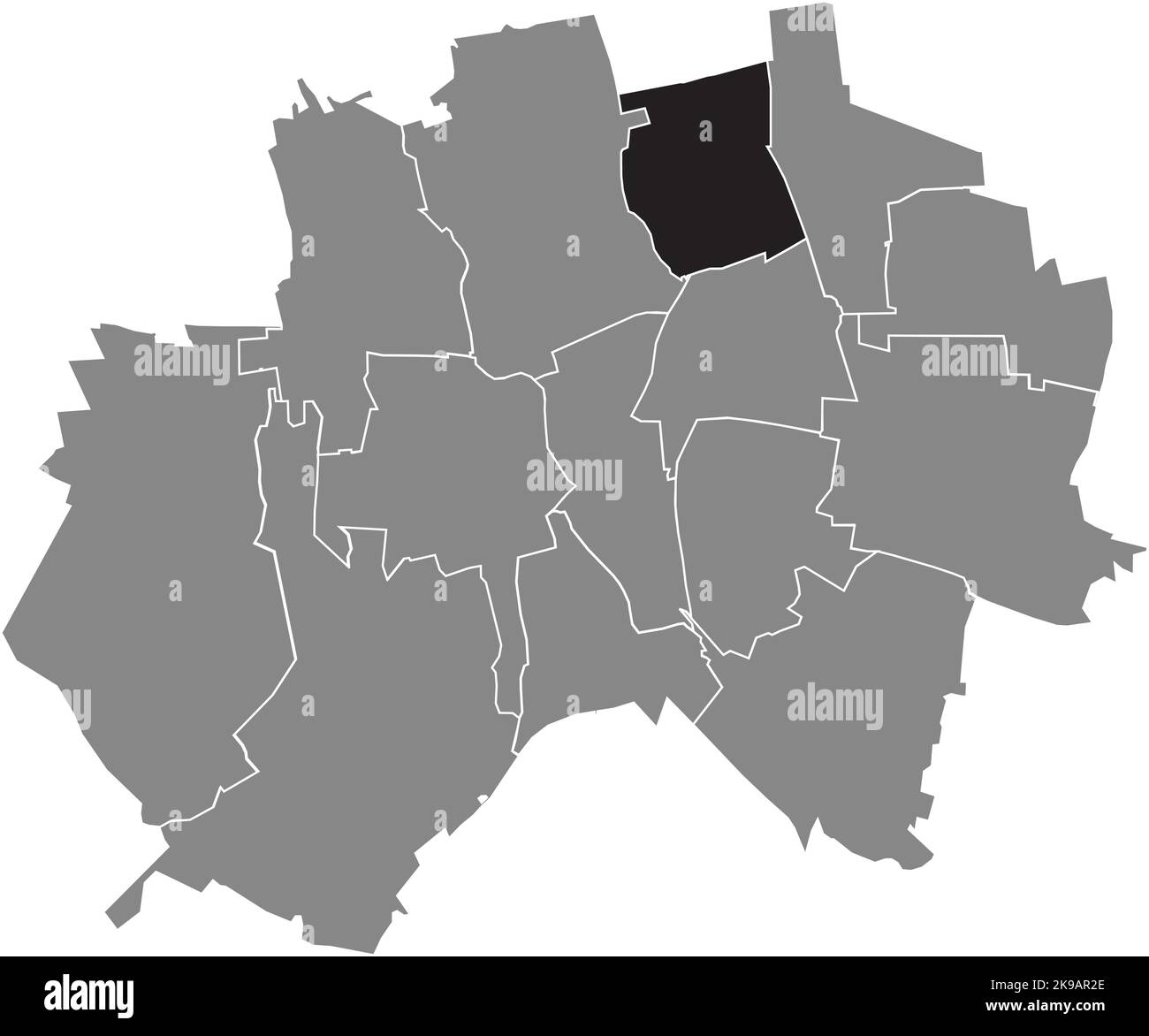 Lageplan der GEMEINDE DRISPENSTEDT, HILDESHEIM Stock Vektorhttps://www.alamy.de/image-license-details/?v=1https://www.alamy.de/lageplan-der-gemeinde-drispenstedt-hildesheim-image487659830.html
RF2K9AR2E–Lageplan der GEMEINDE DRISPENSTEDT, HILDESHEIM
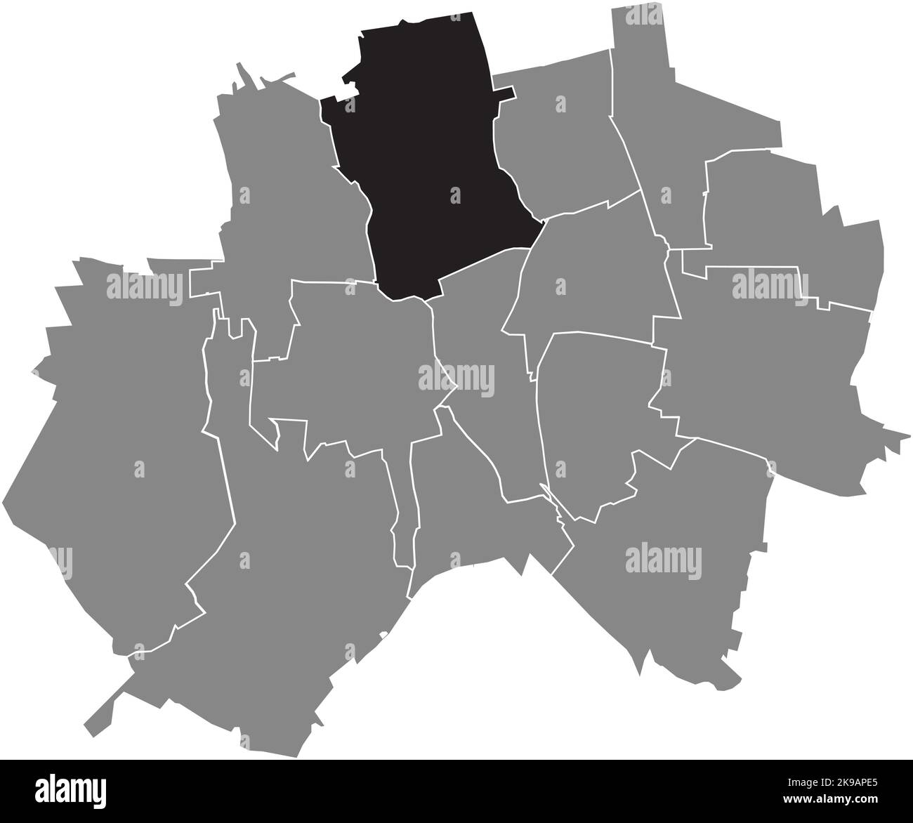 Lageplan der GEMEINDE NORDSTADT, HILDESHEIM Stock Vektorhttps://www.alamy.de/image-license-details/?v=1https://www.alamy.de/lageplan-der-gemeinde-nordstadt-hildesheim-image487659373.html
RF2K9APE5–Lageplan der GEMEINDE NORDSTADT, HILDESHEIM
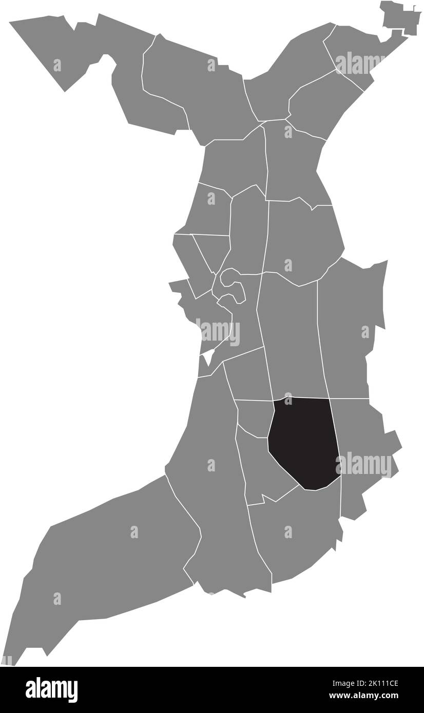 Lageplan des Viertels GRÜNHÖFE, BREMERHAVEN Stock Vektorhttps://www.alamy.de/image-license-details/?v=1https://www.alamy.de/lageplan-des-viertels-grunhofe-bremerhaven-image482528046.html
RF2K111CE–Lageplan des Viertels GRÜNHÖFE, BREMERHAVEN
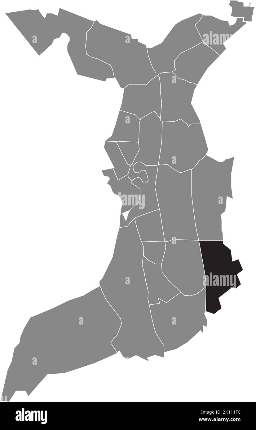 Lageplan des SURHEIDE-VIERTELS, BREMERHAVEN Stock Vektorhttps://www.alamy.de/image-license-details/?v=1https://www.alamy.de/lageplan-des-surheide-viertels-bremerhaven-image482528128.html
RF2K111FC–Lageplan des SURHEIDE-VIERTELS, BREMERHAVEN
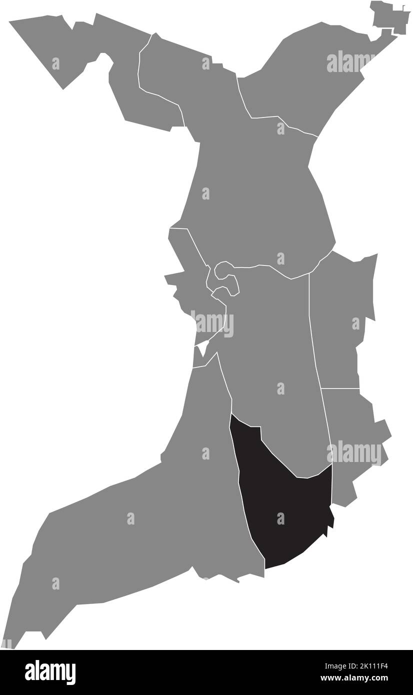 Lageplan des STADTTEILS WULSDORF, BREMERHAVEN Stock Vektorhttps://www.alamy.de/image-license-details/?v=1https://www.alamy.de/lageplan-des-stadtteils-wulsdorf-bremerhaven-image482528120.html
RF2K111F4–Lageplan des STADTTEILS WULSDORF, BREMERHAVEN
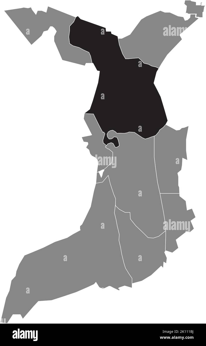 Lageplan des STADTTEILS LEHE, BREMERHAVEN Stock Vektorhttps://www.alamy.de/image-license-details/?v=1https://www.alamy.de/lageplan-des-stadtteils-lehe-bremerhaven-image482528022.html
RF2K111BJ–Lageplan des STADTTEILS LEHE, BREMERHAVEN
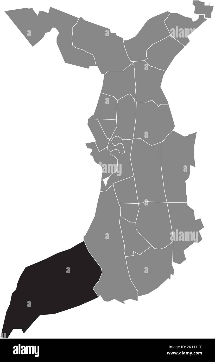 Lageplan des LUNEPLATE QUARTER, BREMERHAVEN Stock Vektorhttps://www.alamy.de/image-license-details/?v=1https://www.alamy.de/lageplan-des-luneplate-quarter-bremerhaven-image482528159.html
RF2K111GF–Lageplan des LUNEPLATE QUARTER, BREMERHAVEN
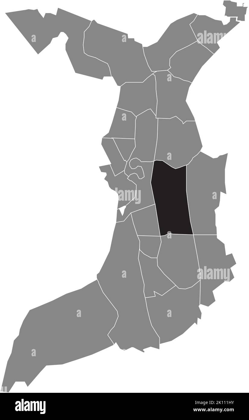 Lageplan des BÜRGERPARKS, BREMERHAVEN Stock Vektorhttps://www.alamy.de/image-license-details/?v=1https://www.alamy.de/lageplan-des-burgerparks-bremerhaven-image482528199.html
RF2K111HY–Lageplan des BÜRGERPARKS, BREMERHAVEN
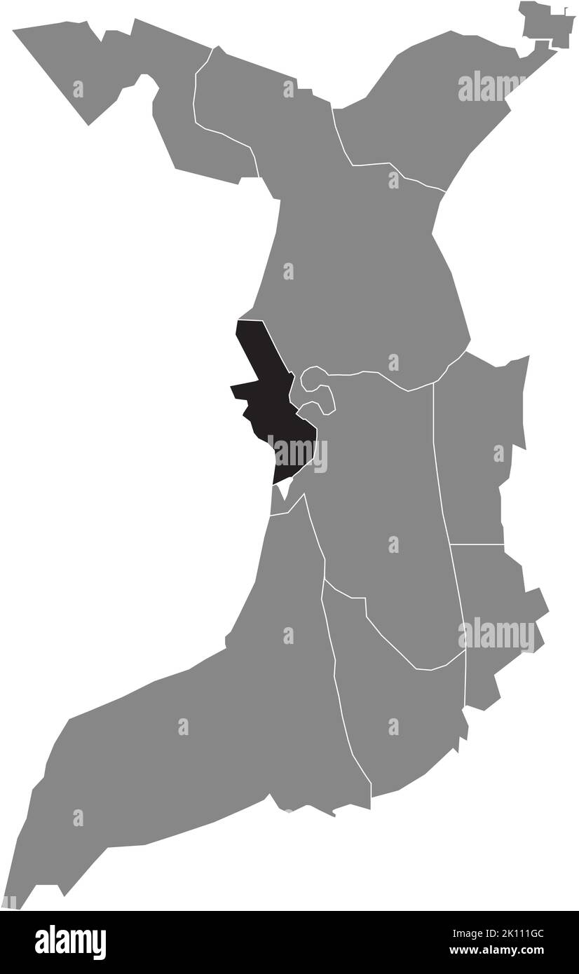 Lageplan des STADTTEILS MITTE, BREMERHAVEN Stock Vektorhttps://www.alamy.de/image-license-details/?v=1https://www.alamy.de/lageplan-des-stadtteils-mitte-bremerhaven-image482528156.html
RF2K111GC–Lageplan des STADTTEILS MITTE, BREMERHAVEN
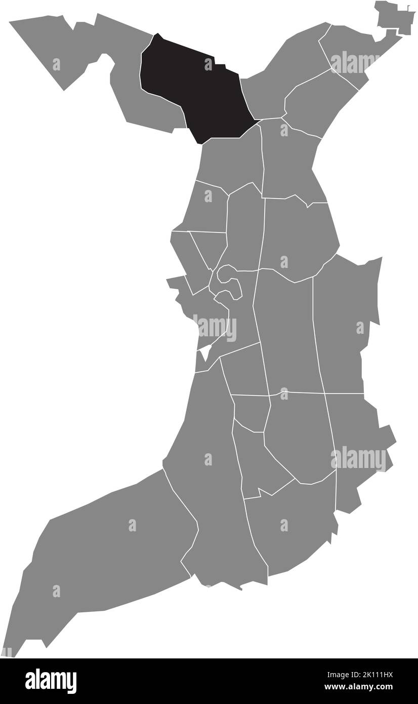 Lageplan des VIERTELS SPECKENBÜTTEL, BREMERHAVEN Stock Vektorhttps://www.alamy.de/image-license-details/?v=1https://www.alamy.de/lageplan-des-viertels-speckenbuttel-bremerhaven-image482528198.html
RF2K111HX–Lageplan des VIERTELS SPECKENBÜTTEL, BREMERHAVEN
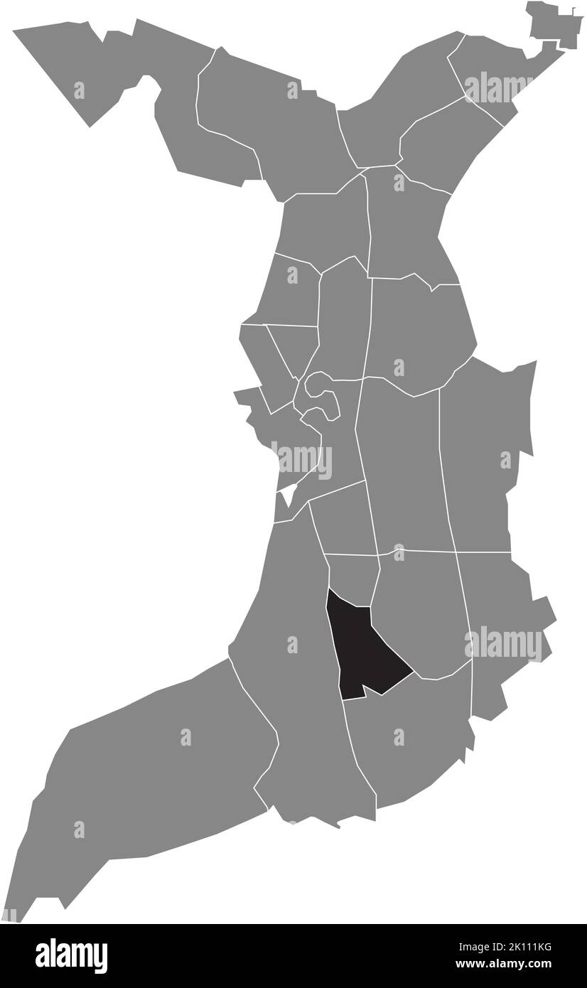 Lageplan des DREIBERGEN-VIERTELS, BREMERHAVEN Stock Vektorhttps://www.alamy.de/image-license-details/?v=1https://www.alamy.de/lageplan-des-dreibergen-viertels-bremerhaven-image482528244.html
RF2K111KG–Lageplan des DREIBERGEN-VIERTELS, BREMERHAVEN
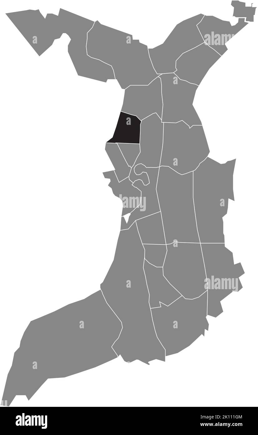 Lageplan des TWISCHKAMP-VIERTELS, BREMERHAVEN Stock Vektorhttps://www.alamy.de/image-license-details/?v=1https://www.alamy.de/lageplan-des-twischkamp-viertels-bremerhaven-image482528164.html
RF2K111GM–Lageplan des TWISCHKAMP-VIERTELS, BREMERHAVEN
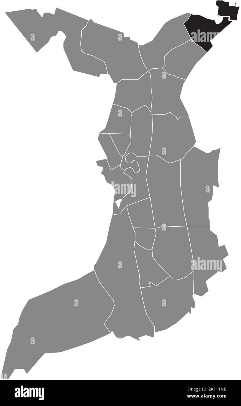 Lageplan des FEHRMOOR-VIERTELS, BREMERHAVEN Stock Vektorhttps://www.alamy.de/image-license-details/?v=1https://www.alamy.de/lageplan-des-fehrmoor-viertels-bremerhaven-image482528295.html
RF2K111NB–Lageplan des FEHRMOOR-VIERTELS, BREMERHAVEN
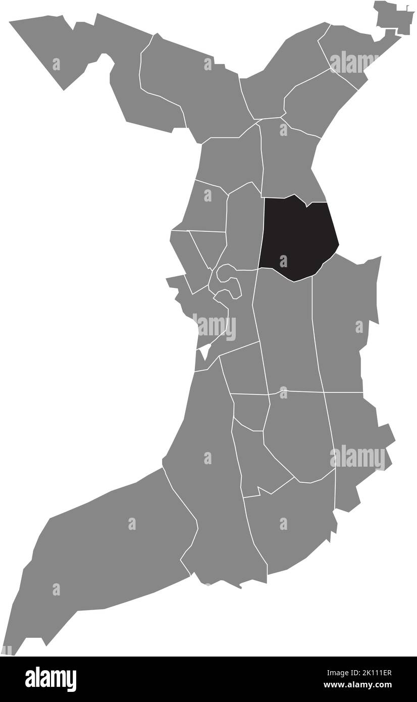 Lageplan des Viertels BUSCHKÄMPEN, BREMERHAVEN Stock Vektorhttps://www.alamy.de/image-license-details/?v=1https://www.alamy.de/lageplan-des-viertels-buschkampen-bremerhaven-image482528111.html
RF2K111ER–Lageplan des Viertels BUSCHKÄMPEN, BREMERHAVEN
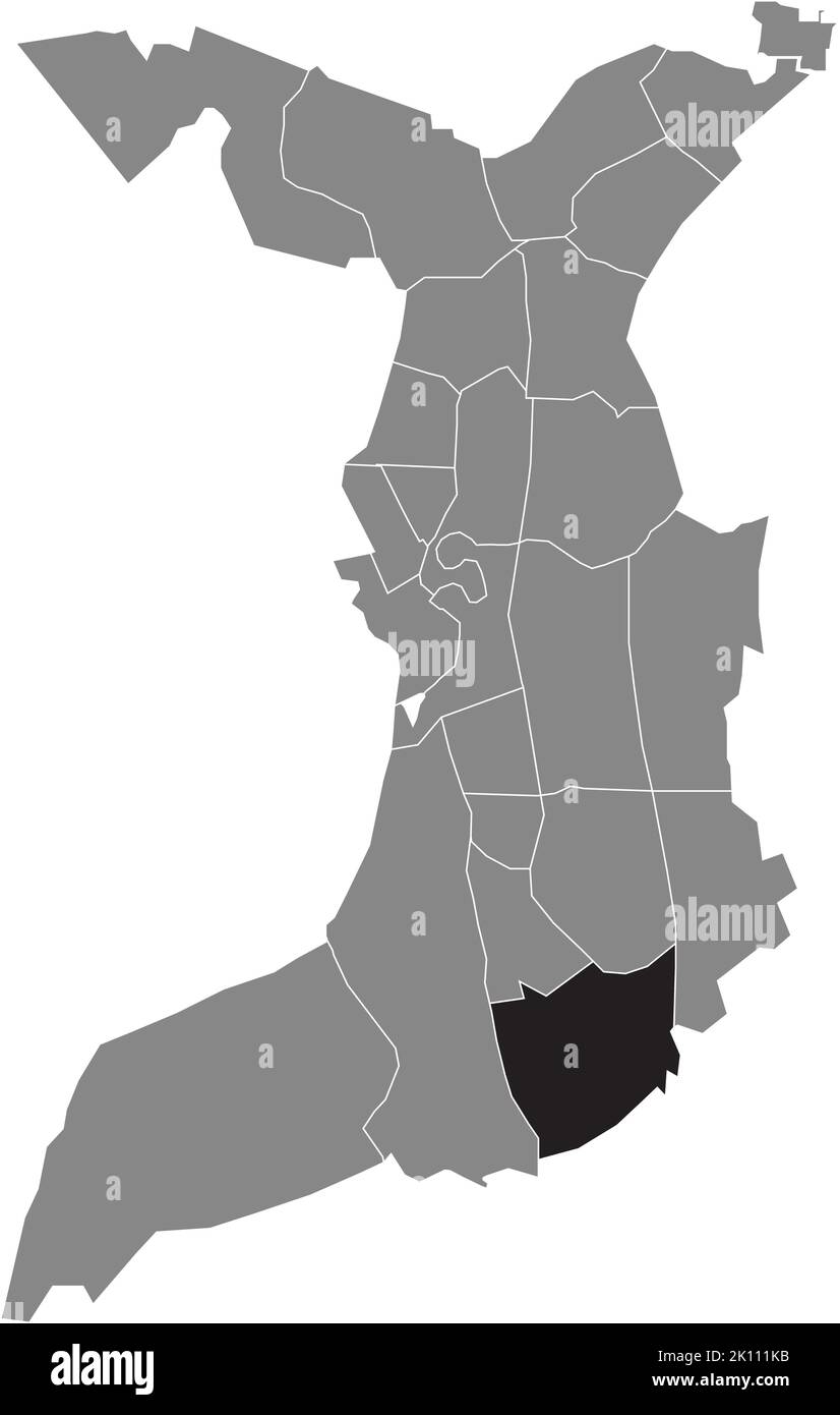 Lageplan des JEDUTENBERG-VIERTELS, BREMERHAVEN Stock Vektorhttps://www.alamy.de/image-license-details/?v=1https://www.alamy.de/lageplan-des-jedutenberg-viertels-bremerhaven-image482528239.html
RF2K111KB–Lageplan des JEDUTENBERG-VIERTELS, BREMERHAVEN
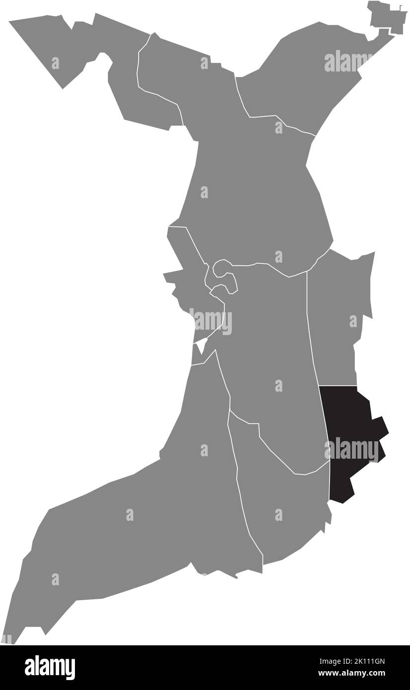 Lageplan des STADTTEILS SURHEIDE, BREMERHAVEN Stock Vektorhttps://www.alamy.de/image-license-details/?v=1https://www.alamy.de/lageplan-des-stadtteils-surheide-bremerhaven-image482528165.html
RF2K111GN–Lageplan des STADTTEILS SURHEIDE, BREMERHAVEN
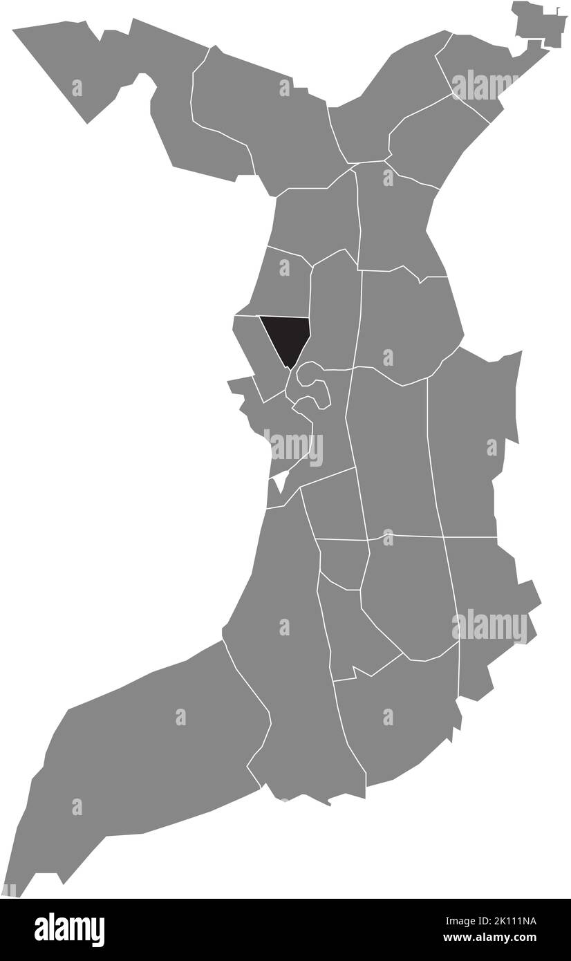 Lageplan des GOETHESTRASSENVIERTELS, BREMERHAVEN Stock Vektorhttps://www.alamy.de/image-license-details/?v=1https://www.alamy.de/lageplan-des-goethestrassenviertels-bremerhaven-image482528294.html
RF2K111NA–Lageplan des GOETHESTRASSENVIERTELS, BREMERHAVEN
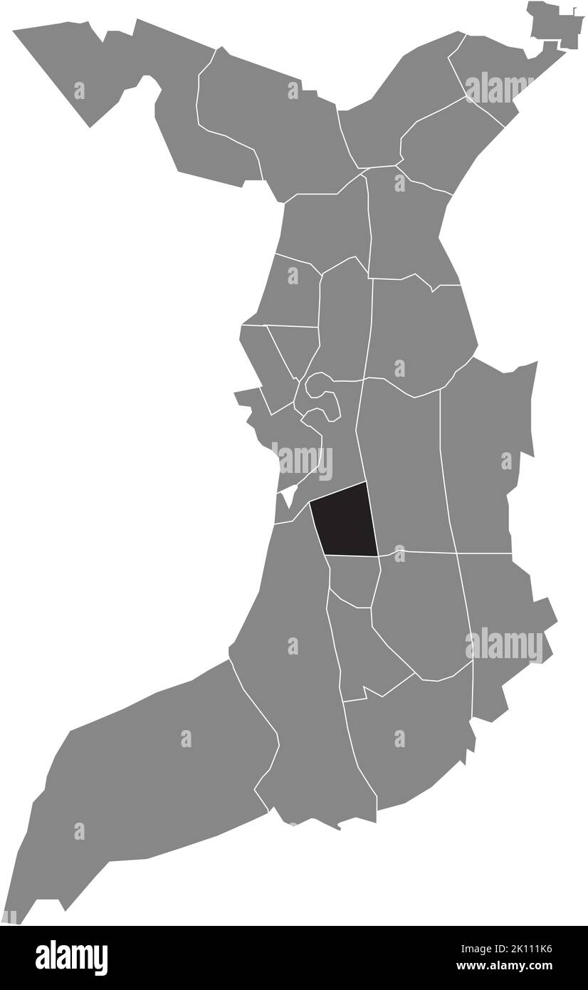 Lageplan des QUARTIERS GEESTENDORF, BREMERHAVEN Stock Vektorhttps://www.alamy.de/image-license-details/?v=1https://www.alamy.de/lageplan-des-quartiers-geestendorf-bremerhaven-image482528234.html
RF2K111K6–Lageplan des QUARTIERS GEESTENDORF, BREMERHAVEN
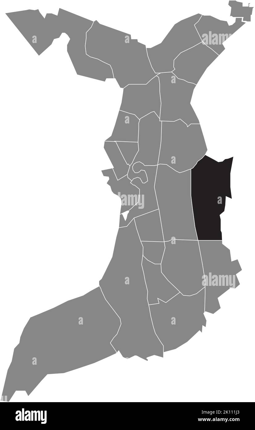 Lageplan des SCHIFFDORFERDAMM-VIERTELS, BREMERHAVEN Stock Vektorhttps://www.alamy.de/image-license-details/?v=1https://www.alamy.de/lageplan-des-schiffdorferdamm-viertels-bremerhaven-image482528203.html
RF2K111J3–Lageplan des SCHIFFDORFERDAMM-VIERTELS, BREMERHAVEN
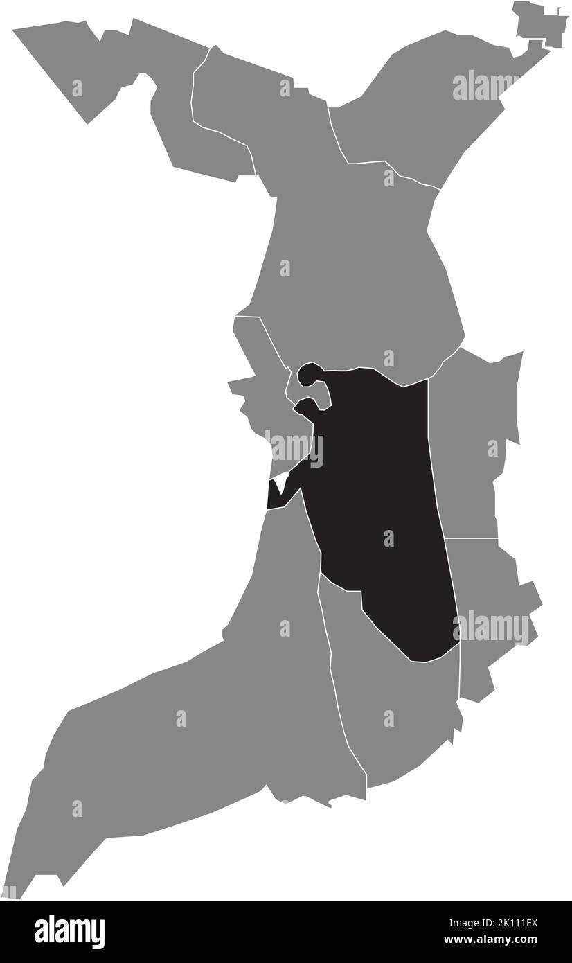 Lageplan des STADTTEILS GEESTEMÜNDE, BREMERHAVEN Stock Vektorhttps://www.alamy.de/image-license-details/?v=1https://www.alamy.de/lageplan-des-stadtteils-geestemunde-bremerhaven-image482528114.html
RF2K111EX–Lageplan des STADTTEILS GEESTEMÜNDE, BREMERHAVEN
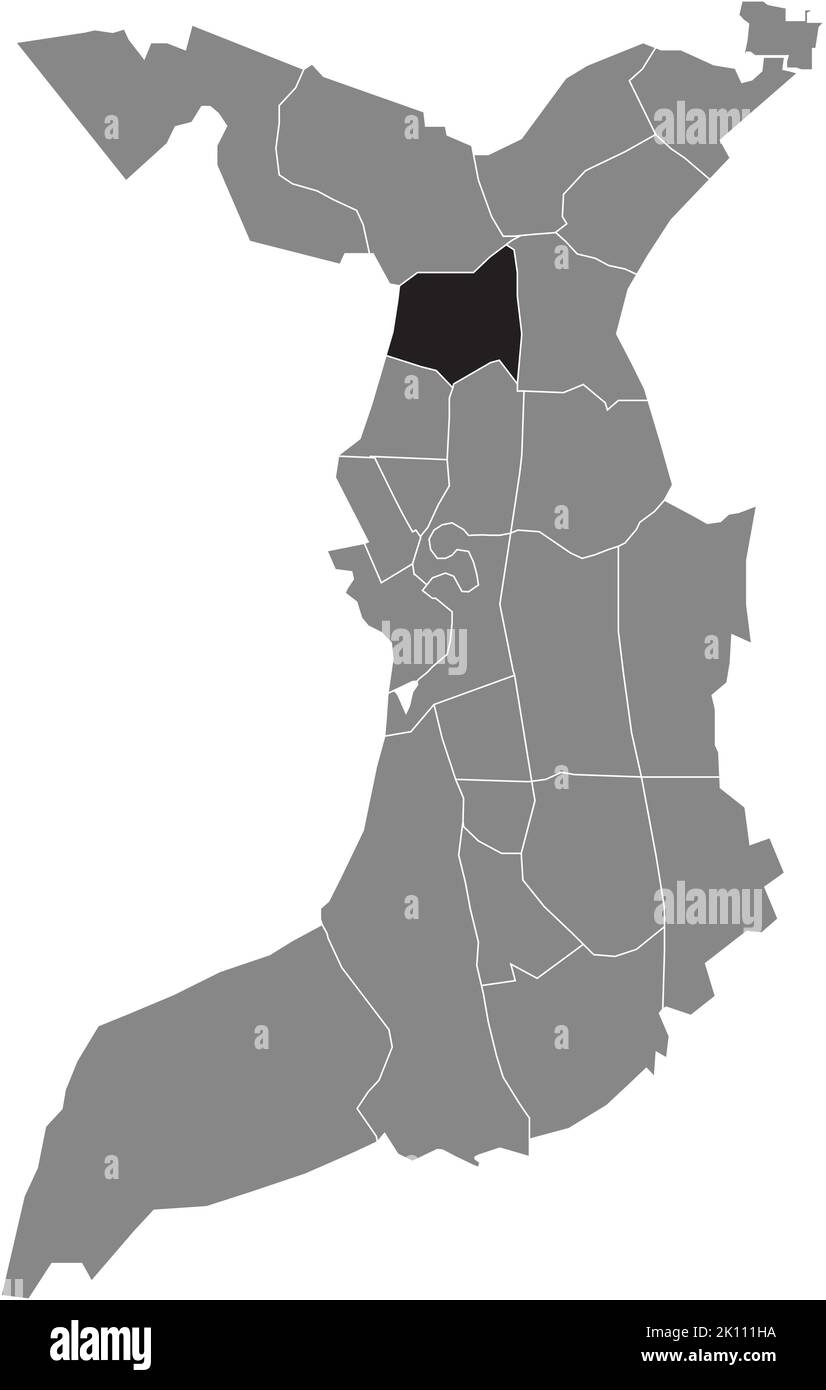 Lageplan des ECKERNFELD-VIERTELS, BREMERHAVEN Stock Vektorhttps://www.alamy.de/image-license-details/?v=1https://www.alamy.de/lageplan-des-eckernfeld-viertels-bremerhaven-image482528182.html
RF2K111HA–Lageplan des ECKERNFELD-VIERTELS, BREMERHAVEN
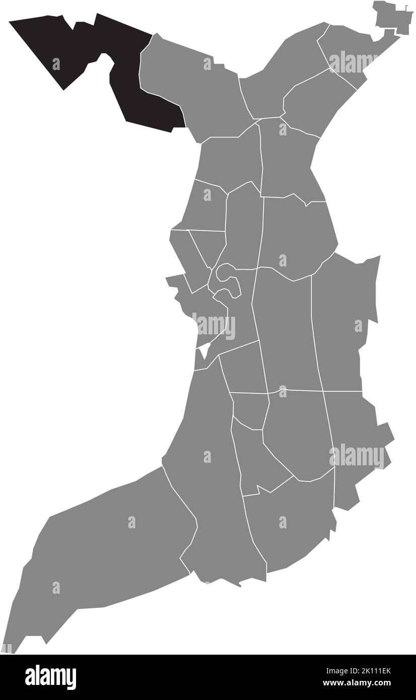 Lageplan des STADTVIERTELS WEDDEWARDEN, BREMERHAVEN Stock Vektorhttps://www.alamy.de/image-license-details/?v=1https://www.alamy.de/lageplan-des-stadtviertels-weddewarden-bremerhaven-image482528107.html
RF2K111EK–Lageplan des STADTVIERTELS WEDDEWARDEN, BREMERHAVEN
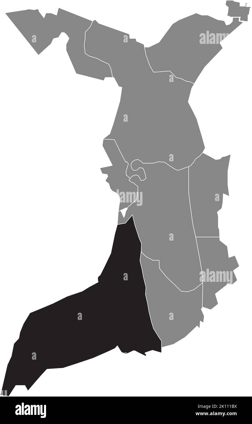 Lageplan des FISCHEREIHAFENS, BREMERHAVEN Stock Vektorhttps://www.alamy.de/image-license-details/?v=1https://www.alamy.de/lageplan-des-fischereihafens-bremerhaven-image482528030.html
RF2K111BX–Lageplan des FISCHEREIHAFENS, BREMERHAVEN
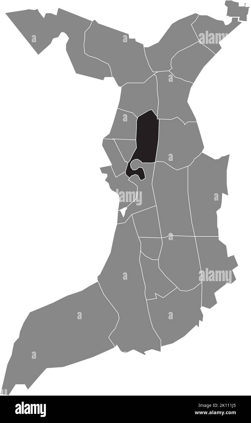 Lageplan des STADTVIERTELS KLUSHOF, BREMERHAVEN Stock Vektorhttps://www.alamy.de/image-license-details/?v=1https://www.alamy.de/lageplan-des-stadtviertels-klushof-bremerhaven-image482528205.html
RF2K111J5–Lageplan des STADTVIERTELS KLUSHOF, BREMERHAVEN
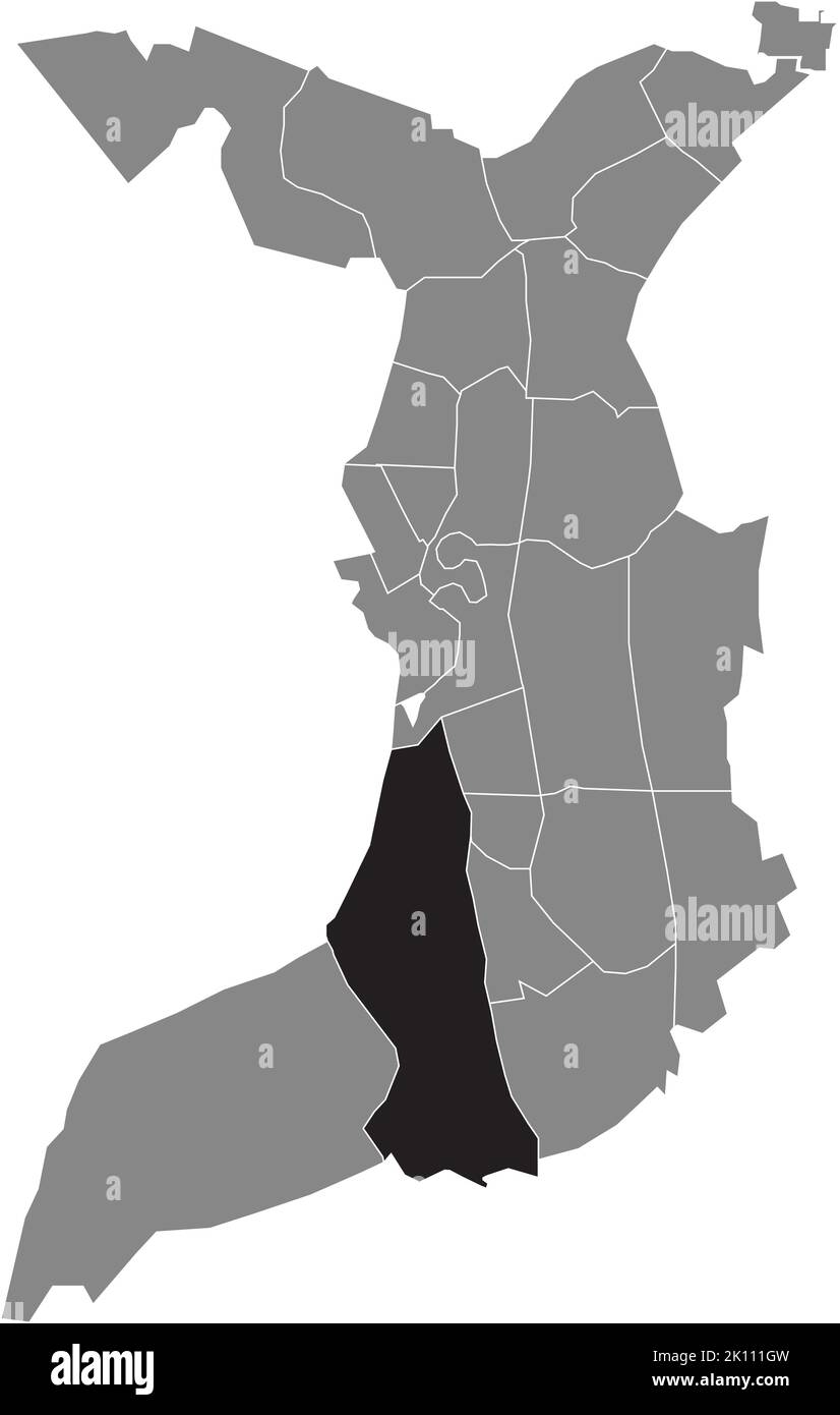 Lageplan des FISCHEREIHAFENS, BREMERHAVEN Stock Vektorhttps://www.alamy.de/image-license-details/?v=1https://www.alamy.de/lageplan-des-fischereihafens-bremerhaven-image482528169.html
RF2K111GW–Lageplan des FISCHEREIHAFENS, BREMERHAVEN
