Topo karte Stockfotos & Bilder
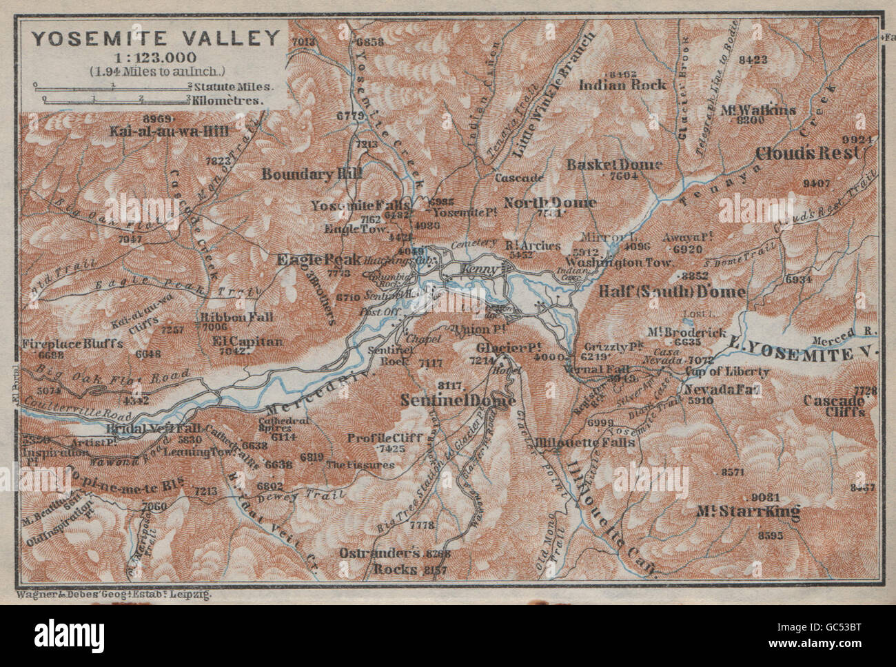 YOSEMITE VALLEY, Kalifornien. Topo-Karte. BAEDEKER, 1909 Stockfotohttps://www.alamy.de/image-license-details/?v=1https://www.alamy.de/stockfoto-yosemite-valley-kalifornien-topo-karte-baedeker-1909-110750524.html
RFGC53BT–YOSEMITE VALLEY, Kalifornien. Topo-Karte. BAEDEKER, 1909
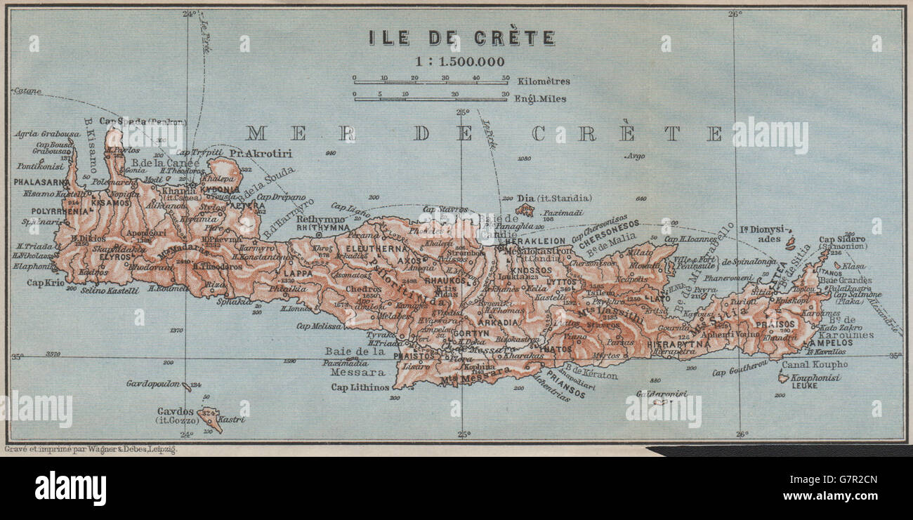 KRETA. Topo-Karte der Insel. Griechenland. BAEDEKER, 1909 Stockfotohttps://www.alamy.de/image-license-details/?v=1https://www.alamy.de/stockfoto-kreta-topo-karte-der-insel-griechenland-baedeker-1909-108071621.html
RFG7R2CN–KRETA. Topo-Karte der Insel. Griechenland. BAEDEKER, 1909
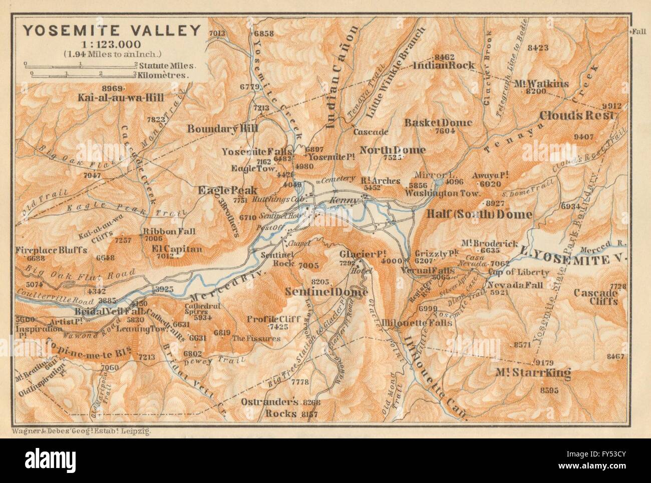 YOSEMITE VALLEY, Kalifornien. Topo-Karte. BAEDEKER, 1904 Stockfotohttps://www.alamy.de/image-license-details/?v=1https://www.alamy.de/stockfoto-yosemite-valley-kalifornien-topo-karte-baedeker-1904-102760027.html
RFFY53CY–YOSEMITE VALLEY, Kalifornien. Topo-Karte. BAEDEKER, 1904
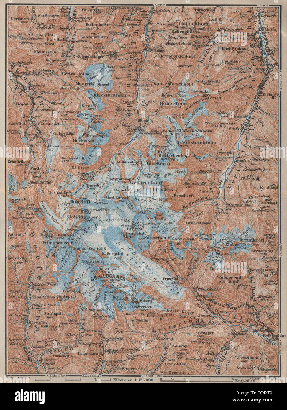 GLOCKNERGRUPPE Großglockner Topo-Karte. Österreich-Österreich Karte, 1927 Stockfotohttps://www.alamy.de/image-license-details/?v=1https://www.alamy.de/stockfoto-glocknergruppe-grossglockner-topo-karte-osterreich-osterreich-karte-1927-110746944.html
RFGC4XT0–GLOCKNERGRUPPE Großglockner Topo-Karte. Österreich-Österreich Karte, 1927
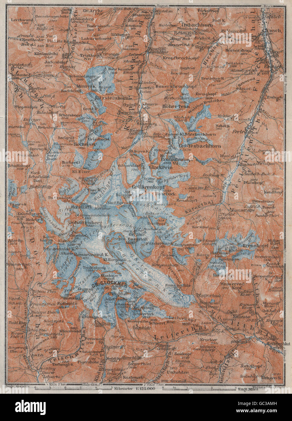 GLOCKNERGRUPPE Großglockner Topo-Karte. Österreich-Österreich Karte, 1923 Stockfotohttps://www.alamy.de/image-license-details/?v=1https://www.alamy.de/stockfoto-glocknergruppe-grossglockner-topo-karte-osterreich-osterreich-karte-1923-110712353.html
RFGC3AMH–GLOCKNERGRUPPE Großglockner Topo-Karte. Österreich-Österreich Karte, 1923
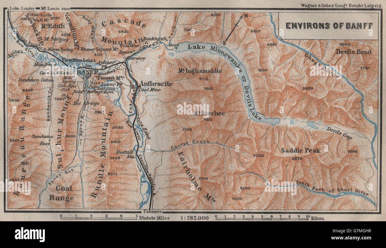 BANFF Umgebung, Topo-Karte. Alberta, Kanada. BAEDEKER, 1922 Stockfotohttps://www.alamy.de/image-license-details/?v=1https://www.alamy.de/stockfoto-banff-umgebung-topo-karte-alberta-kanada-baedeker-1922-108016883.html
RFG7MGHR–BANFF Umgebung, Topo-Karte. Alberta, Kanada. BAEDEKER, 1922
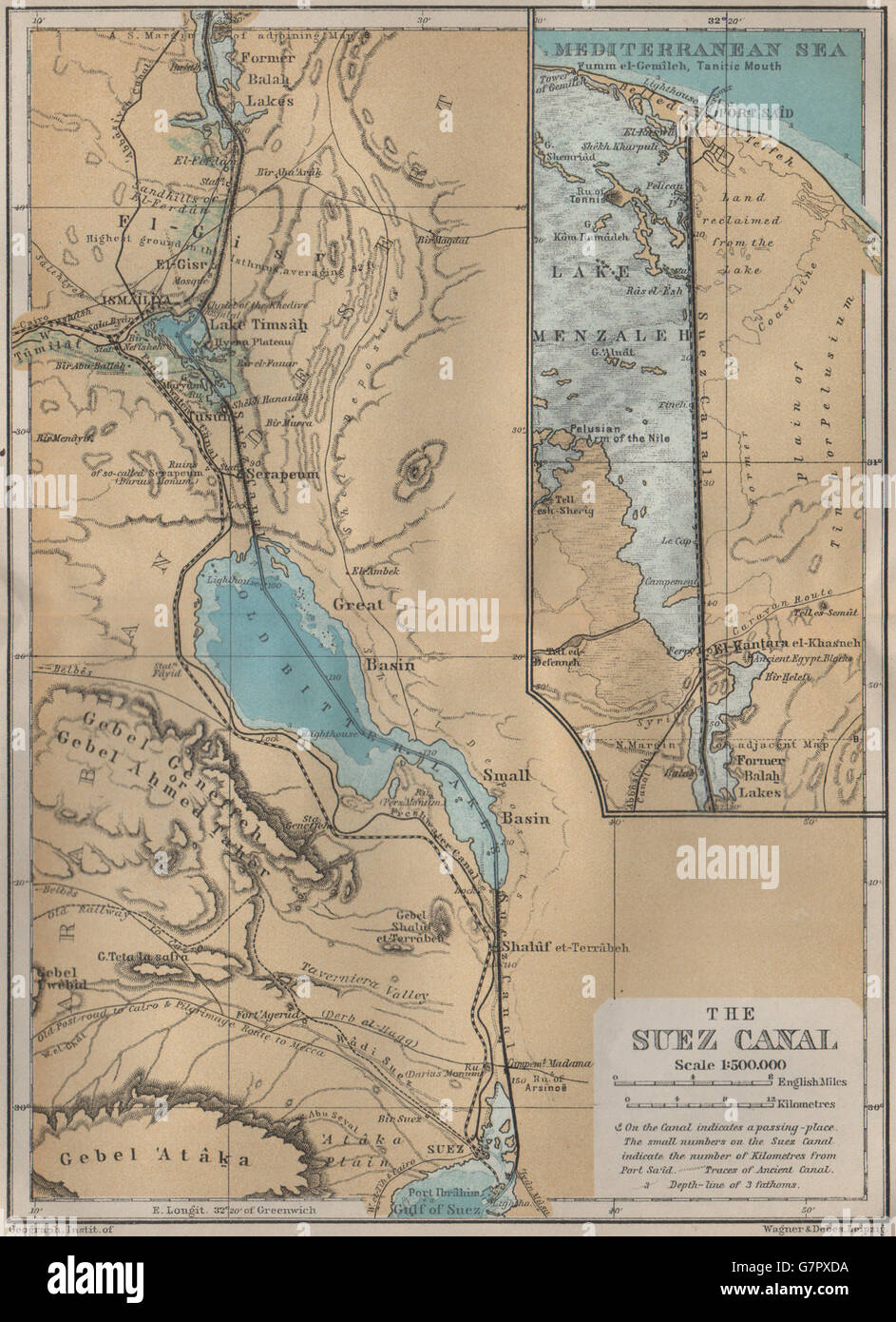 DER SUEZ-KANAL. Port Said. Topo-Karte. Ägypten. BAEDEKER, 1914 Stockfotohttps://www.alamy.de/image-license-details/?v=1https://www.alamy.de/stockfoto-der-suez-kanal-port-said-topo-karte-agypten-baedeker-1914-108068502.html
RFG7PXDA–DER SUEZ-KANAL. Port Said. Topo-Karte. Ägypten. BAEDEKER, 1914
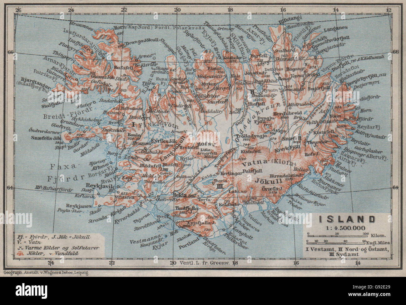 Island/Insel. Reykjavik. Topo-Karte Kort. BAEDEKER, 1912 Stockfotohttps://www.alamy.de/image-license-details/?v=1https://www.alamy.de/stockfoto-islandinsel-reykjavik-topo-karte-kort-baedeker-1912-108849057.html
RFG92E29–Island/Insel. Reykjavik. Topo-Karte Kort. BAEDEKER, 1912
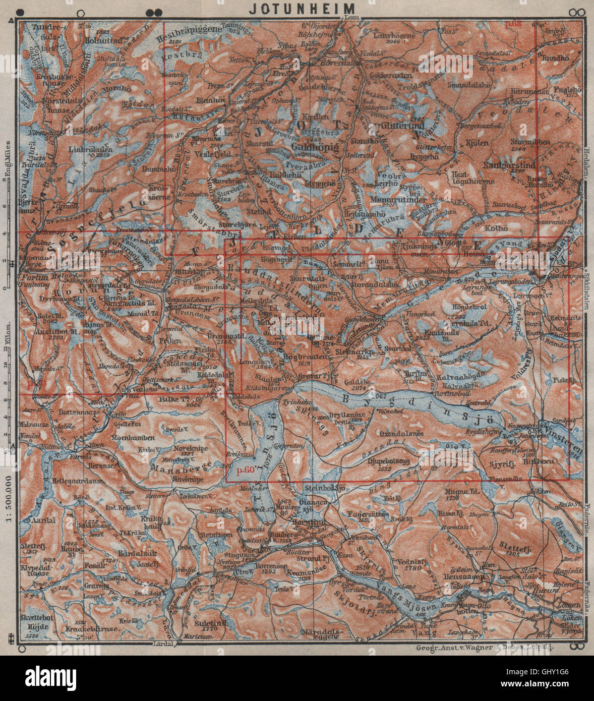 JOTUNHEIMEN Nasjonalpark Topo-Karte. Norwegen-Kart. BAEDEKER, 1912 Stockfotohttps://www.alamy.de/image-license-details/?v=1https://www.alamy.de/stockfoto-jotunheimen-nasjonalpark-topo-karte-norwegen-kart-baedeker-1912-114305302.html
RFGHY1G6–JOTUNHEIMEN Nasjonalpark Topo-Karte. Norwegen-Kart. BAEDEKER, 1912
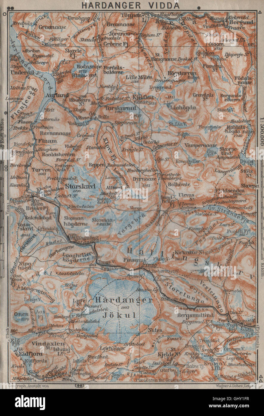 HARDANGERVIDDA. Hardangerjokulen. Topo-Karte. Norwegen-Kart. BAEDEKER, 1912 Stockfotohttps://www.alamy.de/image-license-details/?v=1https://www.alamy.de/stockfoto-hardangervidda-hardangerjokulen-topo-karte-norwegen-kart-baedeker-1912-114305291.html
RFGHY1FR–HARDANGERVIDDA. Hardangerjokulen. Topo-Karte. Norwegen-Kart. BAEDEKER, 1912
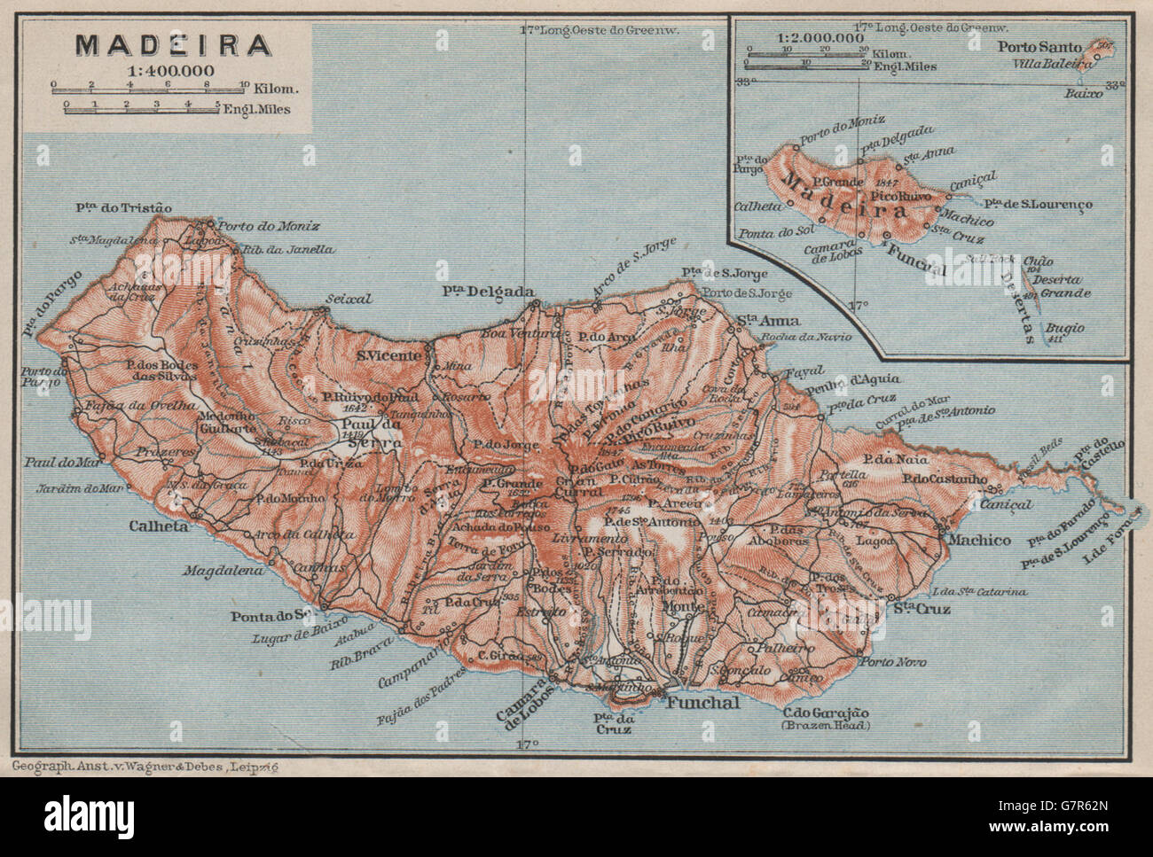 MADEIRA Island Topo-Karte. Portugal-Mapa. BAEDEKER, 1911 Stockfotohttps://www.alamy.de/image-license-details/?v=1https://www.alamy.de/stockfoto-madeira-island-topo-karte-portugal-mapa-baedeker-1911-108074477.html
RFG7R62N–MADEIRA Island Topo-Karte. Portugal-Mapa. BAEDEKER, 1911
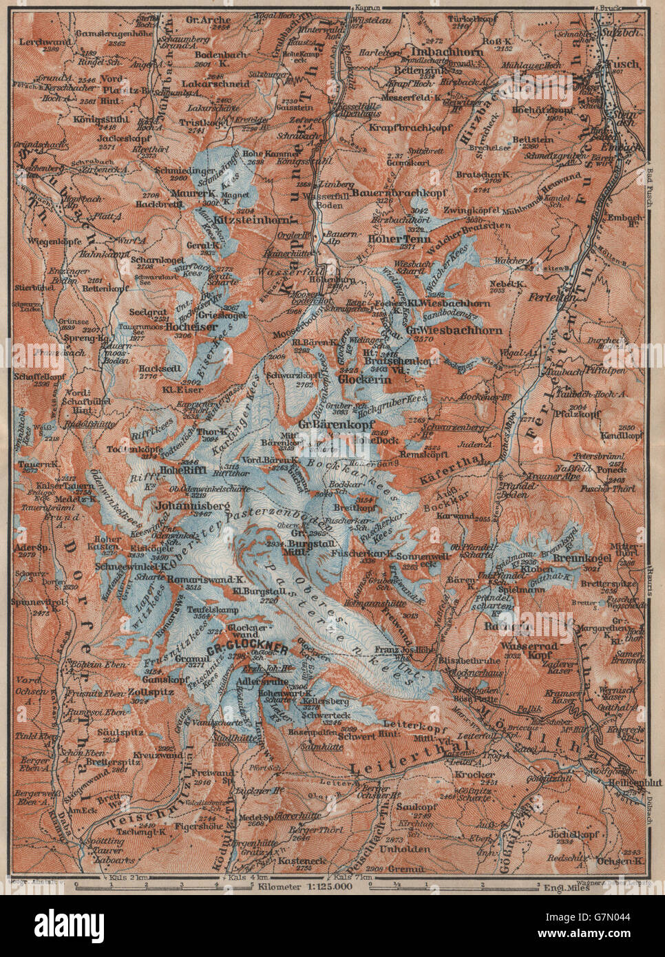 GLOCKNERGRUPPE Großglockner Topo-Karte. Österreich-Österreich Karte, 1911 Stockfotohttps://www.alamy.de/image-license-details/?v=1https://www.alamy.de/stockfoto-glocknergruppe-grossglockner-topo-karte-osterreich-osterreich-karte-1911-108025908.html
RFG7N044–GLOCKNERGRUPPE Großglockner Topo-Karte. Österreich-Österreich Karte, 1911
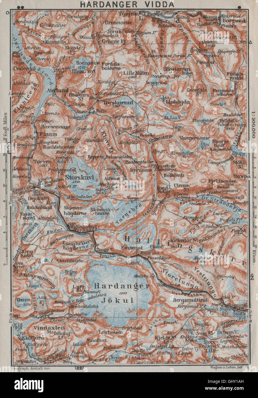 HARDANGERVIDDA. Hardangerjokulen. Topo-Karte. Norwegen-Kart. BAEDEKER, 1909 Stockfotohttps://www.alamy.de/image-license-details/?v=1https://www.alamy.de/stockfoto-hardangervidda-hardangerjokulen-topo-karte-norwegen-kart-baedeker-1909-114305145.html
RFGHY1AH–HARDANGERVIDDA. Hardangerjokulen. Topo-Karte. Norwegen-Kart. BAEDEKER, 1909
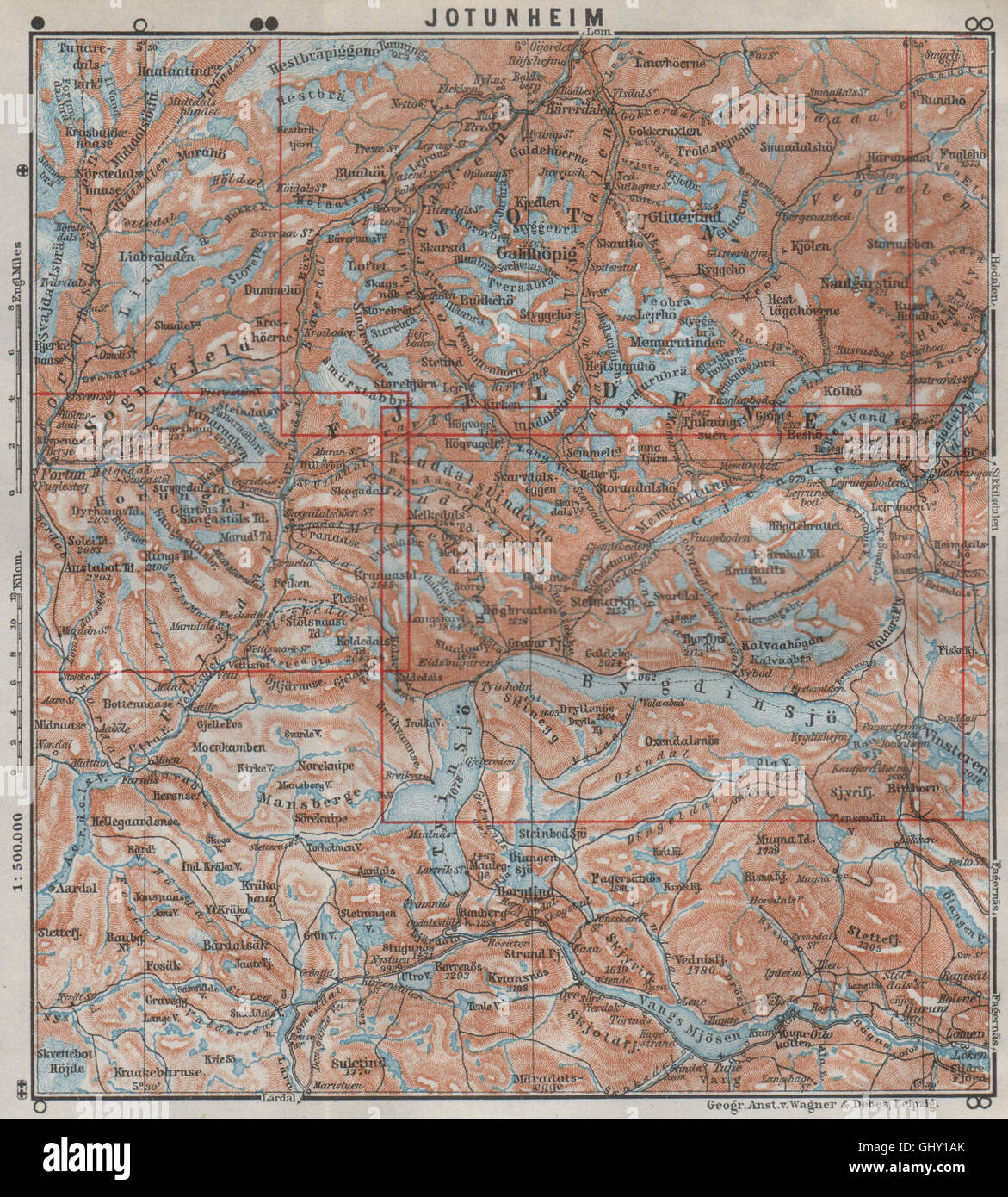 JOTUNHEIMEN Nasjonalpark Topo-Karte. Norwegen-Kart. BAEDEKER, 1909 Stockfotohttps://www.alamy.de/image-license-details/?v=1https://www.alamy.de/stockfoto-jotunheimen-nasjonalpark-topo-karte-norwegen-kart-baedeker-1909-114305147.html
RFGHY1AK–JOTUNHEIMEN Nasjonalpark Topo-Karte. Norwegen-Kart. BAEDEKER, 1909
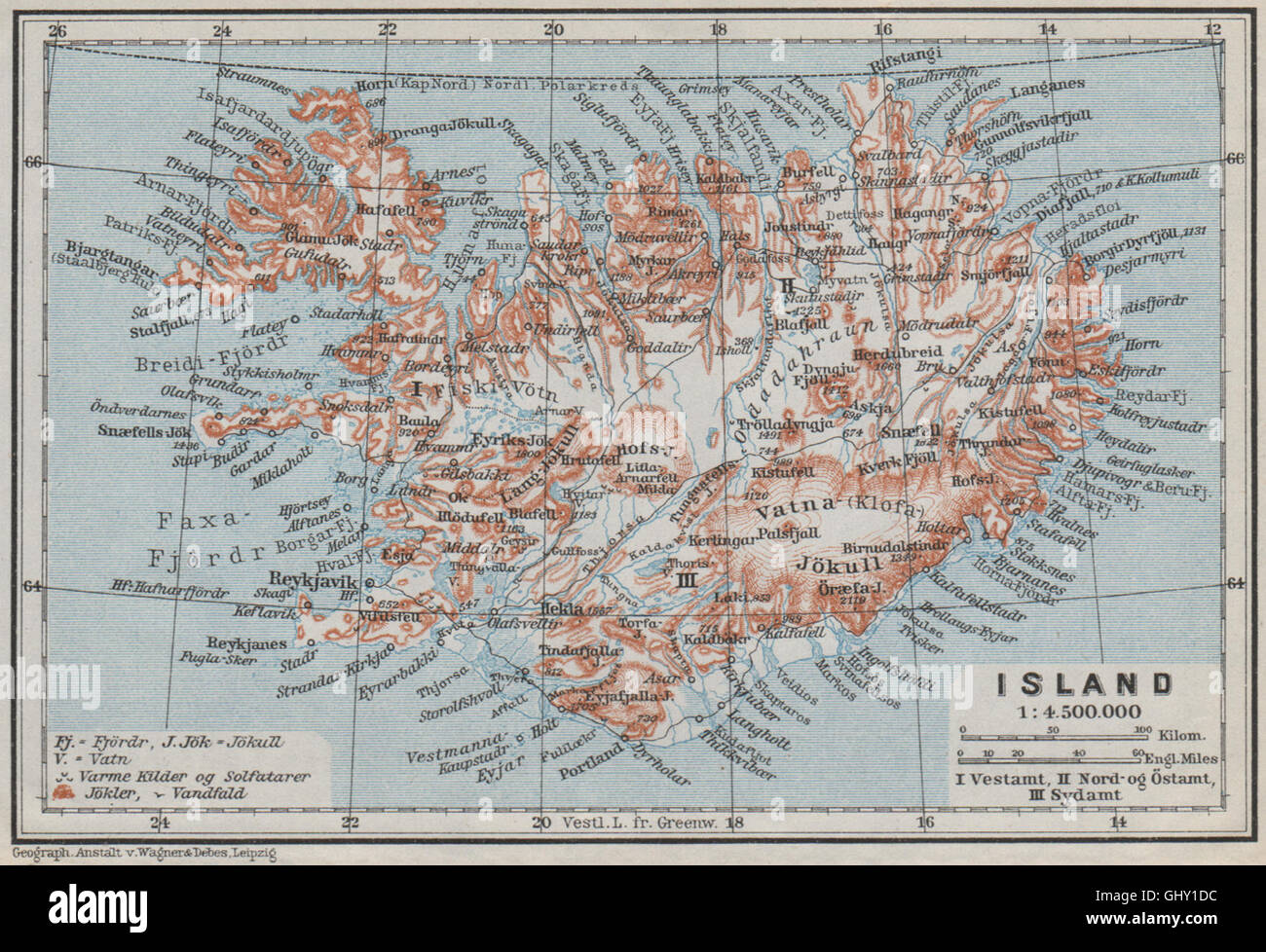 Island/Insel. Reykjavik. Topo-Karte Kort. BAEDEKER, 1909 Stockfotohttps://www.alamy.de/image-license-details/?v=1https://www.alamy.de/stockfoto-islandinsel-reykjavik-topo-karte-kort-baedeker-1909-114305224.html
RFGHY1DC–Island/Insel. Reykjavik. Topo-Karte Kort. BAEDEKER, 1909
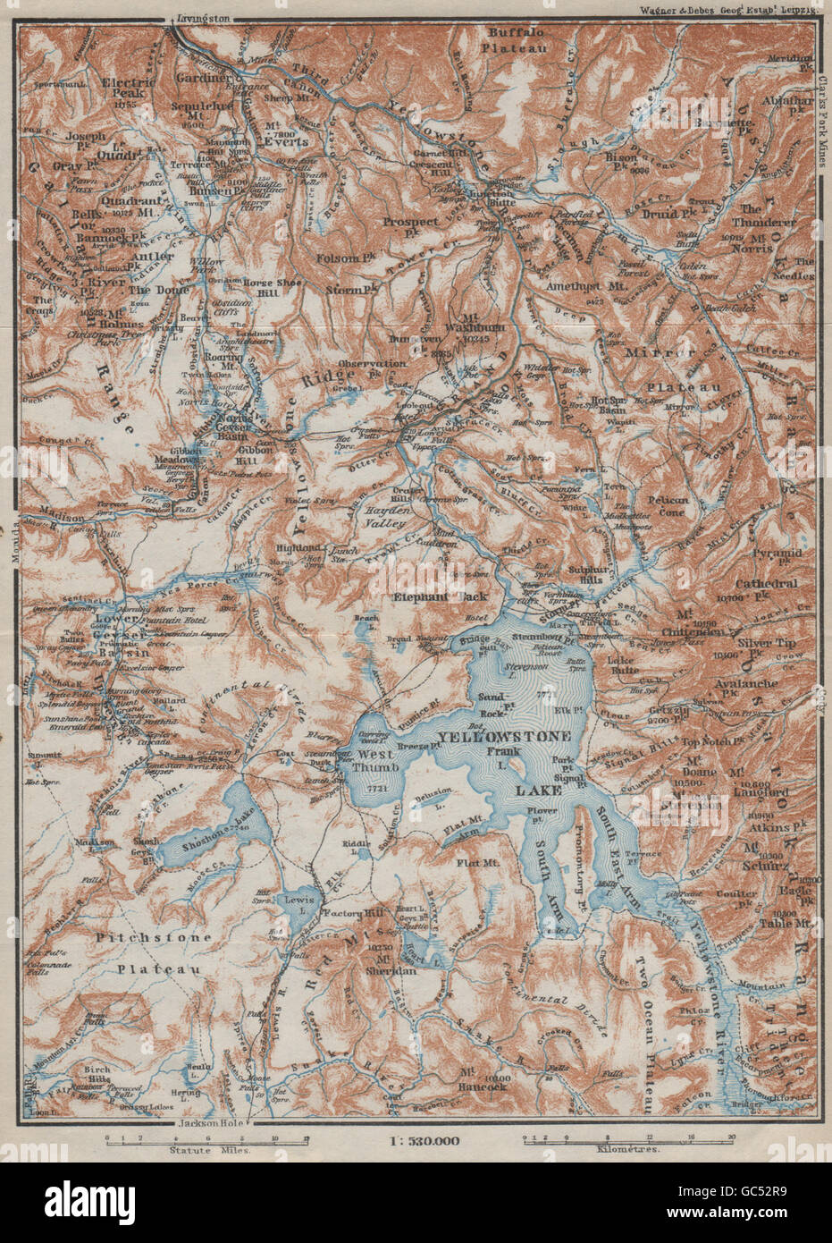 YELLOWSTONE-NATIONALPARK. Topo-Karte. Wyoming. BAEDEKER, 1909 Stockfotohttps://www.alamy.de/image-license-details/?v=1https://www.alamy.de/stockfoto-yellowstone-nationalpark-topo-karte-wyoming-baedeker-1909-110750061.html
RFGC52R9–YELLOWSTONE-NATIONALPARK. Topo-Karte. Wyoming. BAEDEKER, 1909
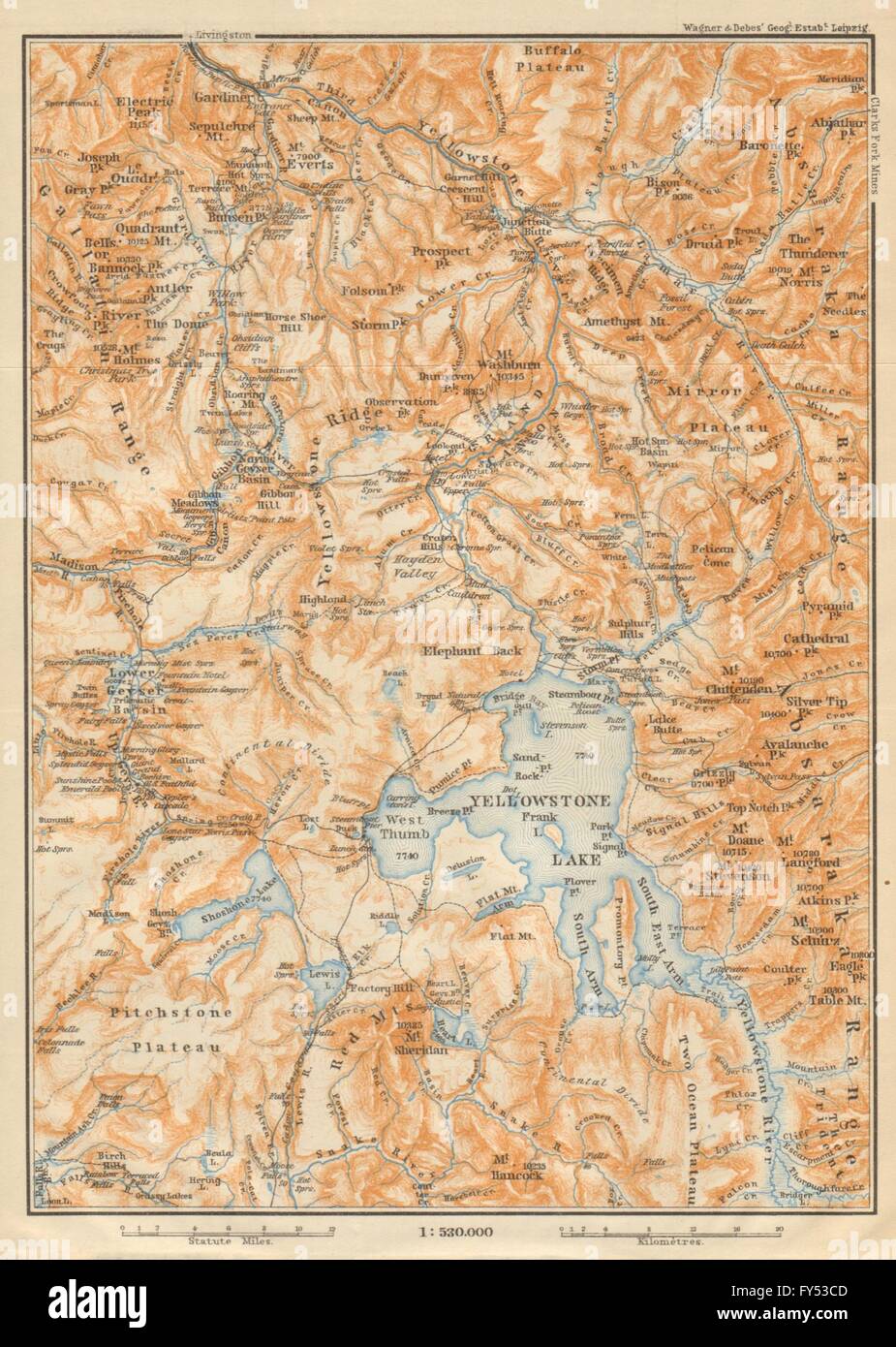 YELLOWSTONE-NATIONALPARK. Topo-Karte. Wyoming. BAEDEKER, 1904 Stockfotohttps://www.alamy.de/image-license-details/?v=1https://www.alamy.de/stockfoto-yellowstone-nationalpark-topo-karte-wyoming-baedeker-1904-102760013.html
RFFY53CD–YELLOWSTONE-NATIONALPARK. Topo-Karte. Wyoming. BAEDEKER, 1904
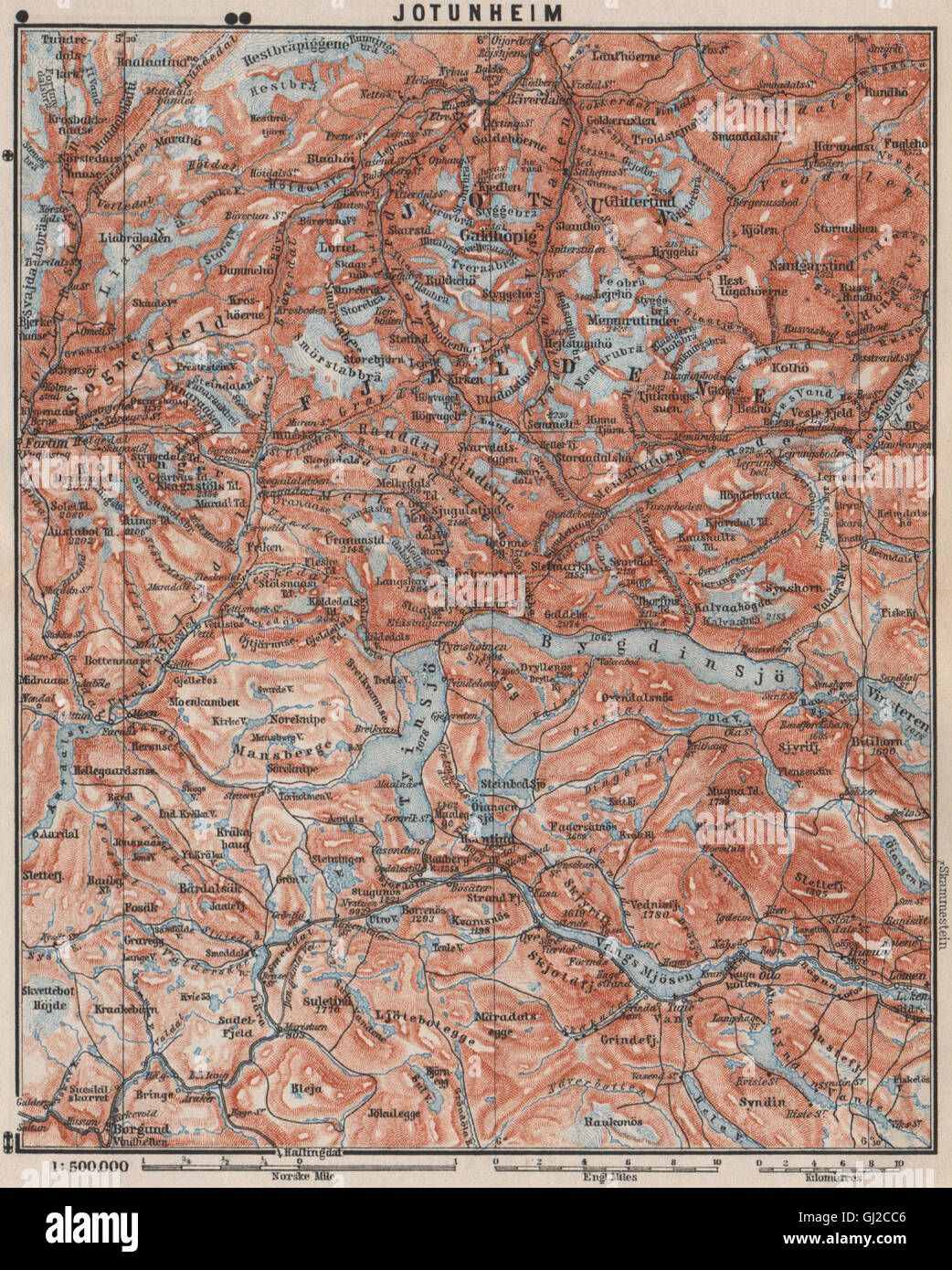 JOTUNHEIMEN Nasjonalpark Topo-Karte. Norwegen-Kart. BAEDEKER, 1899 Stockfotohttps://www.alamy.de/image-license-details/?v=1https://www.alamy.de/stockfoto-jotunheimen-nasjonalpark-topo-karte-norwegen-kart-baedeker-1899-114379670.html
RFGJ2CC6–JOTUNHEIMEN Nasjonalpark Topo-Karte. Norwegen-Kart. BAEDEKER, 1899
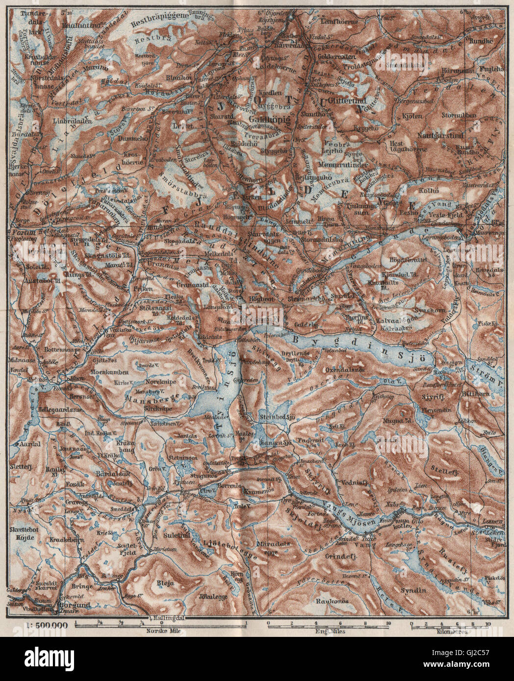 JOTUNHEIMEN Nasjonalpark Topo-Karte. Norwegen-Kart. BAEDEKER, 1885 Stockfotohttps://www.alamy.de/image-license-details/?v=1https://www.alamy.de/stockfoto-jotunheimen-nasjonalpark-topo-karte-norwegen-kart-baedeker-1885-114379475.html
RFGJ2C57–JOTUNHEIMEN Nasjonalpark Topo-Karte. Norwegen-Kart. BAEDEKER, 1885
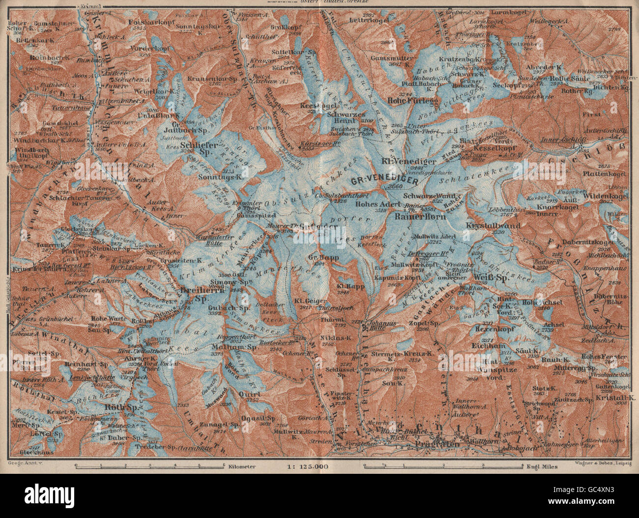 Grobe VENEDIGERGRUPPE Gruppe Topo-Karte. Prägraten. Österreich Österreich, 1927 Stockfotohttps://www.alamy.de/image-license-details/?v=1https://www.alamy.de/stockfoto-grobe-venedigergruppe-gruppe-topo-karte-pragraten-osterreich-osterreich-1927-110746863.html
RFGC4XN3–Grobe VENEDIGERGRUPPE Gruppe Topo-Karte. Prägraten. Österreich Österreich, 1927
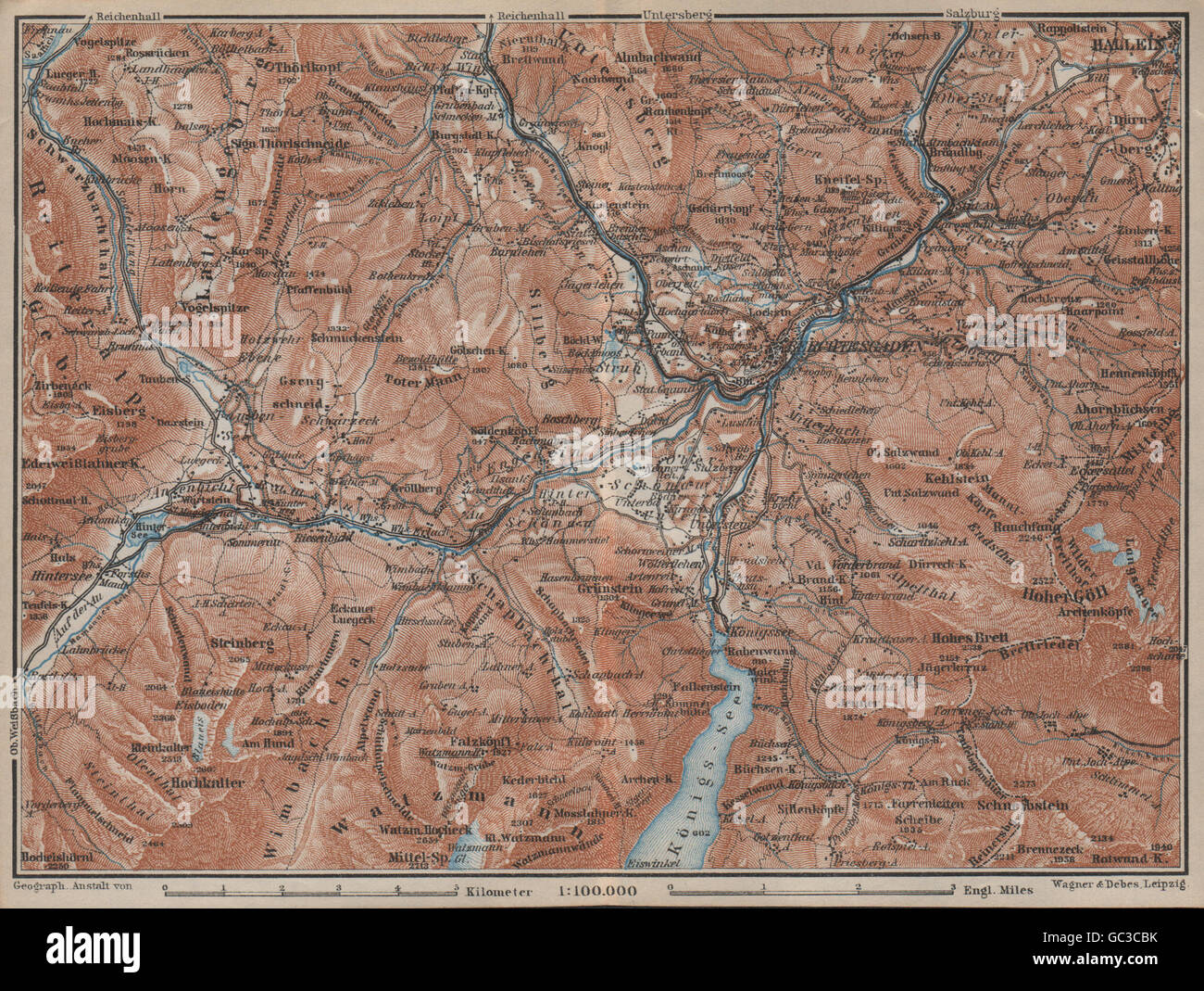 BERCHTESGADEN Umgebung Topo-Karte. Hallein Bayern Berchtesgadener Land, 1927 Stockfotohttps://www.alamy.de/image-license-details/?v=1https://www.alamy.de/stockfoto-berchtesgaden-umgebung-topo-karte-hallein-bayern-berchtesgadener-land-1927-110713671.html
RFGC3CBK–BERCHTESGADEN Umgebung Topo-Karte. Hallein Bayern Berchtesgadener Land, 1927
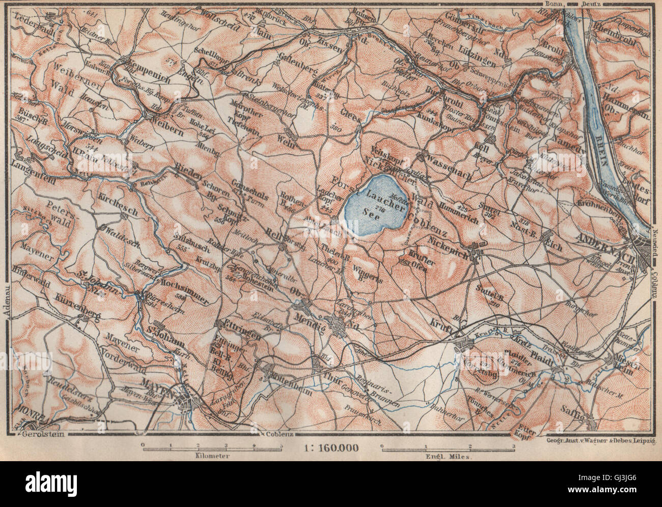 LAACHER SEE. Vulkaneifel Topo-Karte Andernach Mayen Rheinland-Pfalz, 1926 Stockfotohttps://www.alamy.de/image-license-details/?v=1https://www.alamy.de/stockfoto-laacher-see-vulkaneifel-topo-karte-andernach-mayen-rheinland-pfalz-1926-114406438.html
RFGJ3JG6–LAACHER SEE. Vulkaneifel Topo-Karte Andernach Mayen Rheinland-Pfalz, 1926
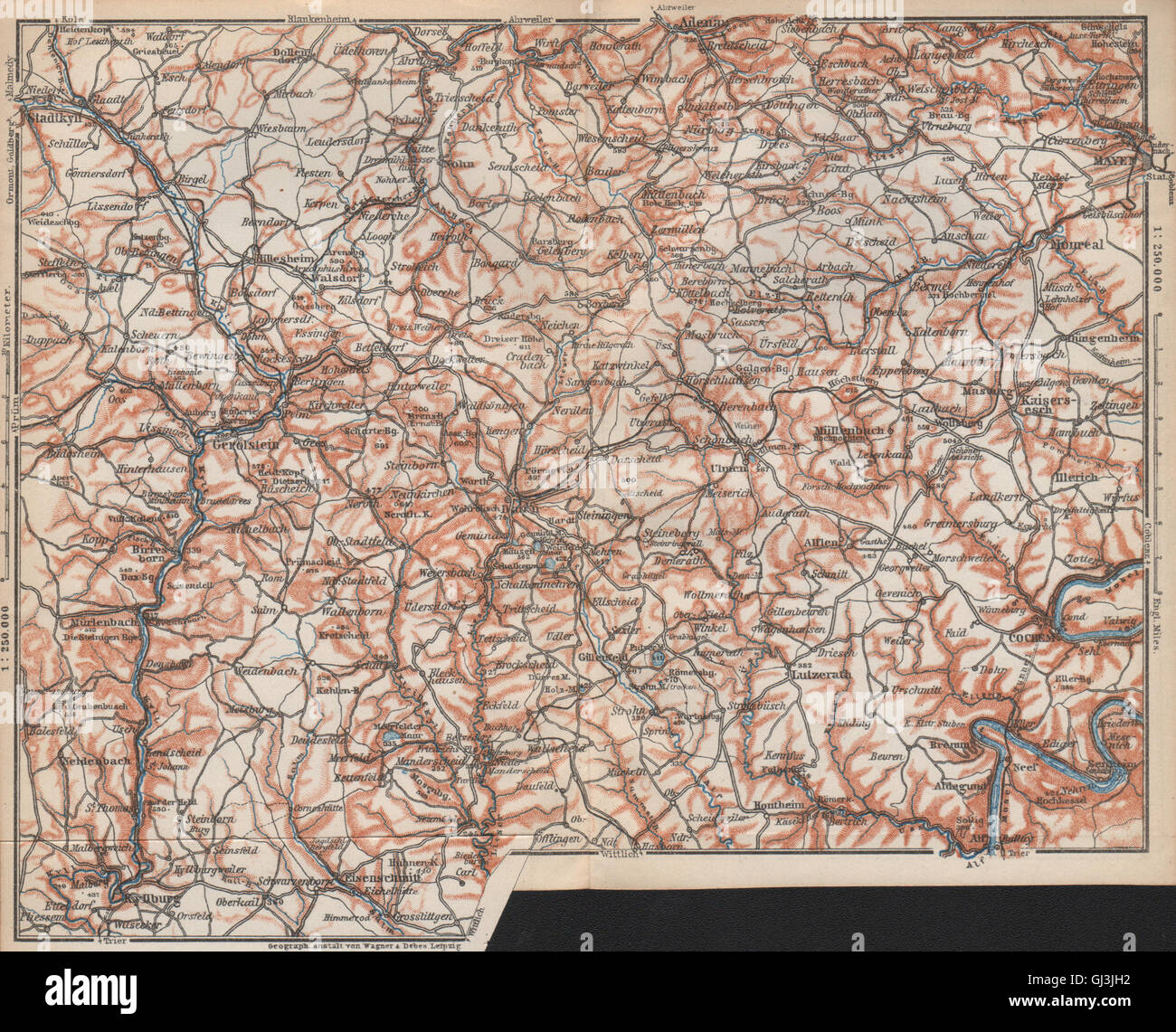 VULKANEIFEL. DIE VULKANEIFEL Topo-Karte. Gerolstein. Deutschland Karte, 1926 Stockfotohttps://www.alamy.de/image-license-details/?v=1https://www.alamy.de/stockfoto-vulkaneifel-die-vulkaneifel-topo-karte-gerolstein-deutschland-karte-1926-114406462.html
RFGJ3JH2–VULKANEIFEL. DIE VULKANEIFEL Topo-Karte. Gerolstein. Deutschland Karte, 1926
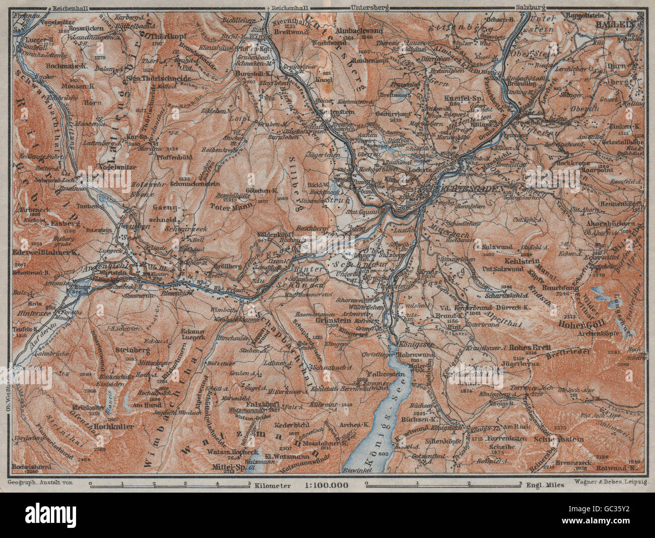 BERCHTESGADEN Umgebung Topo-Karte. Hallein Bayern Berchtesgadener Land, 1923 Stockfotohttps://www.alamy.de/image-license-details/?v=1https://www.alamy.de/stockfoto-berchtesgaden-umgebung-topo-karte-hallein-bayern-berchtesgadener-land-1923-110708614.html
RFGC35Y2–BERCHTESGADEN Umgebung Topo-Karte. Hallein Bayern Berchtesgadener Land, 1923
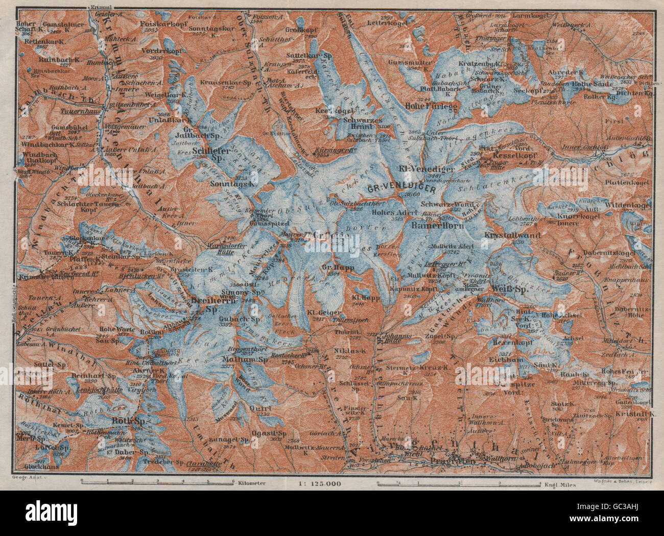 Grobe VENEDIGERGRUPPE Gruppe Topo-Karte. Prägraten. Österreich Österreich, 1923 Stockfotohttps://www.alamy.de/image-license-details/?v=1https://www.alamy.de/stockfoto-grobe-venedigergruppe-gruppe-topo-karte-pragraten-osterreich-osterreich-1923-110712270.html
RFGC3AHJ–Grobe VENEDIGERGRUPPE Gruppe Topo-Karte. Prägraten. Österreich Österreich, 1923
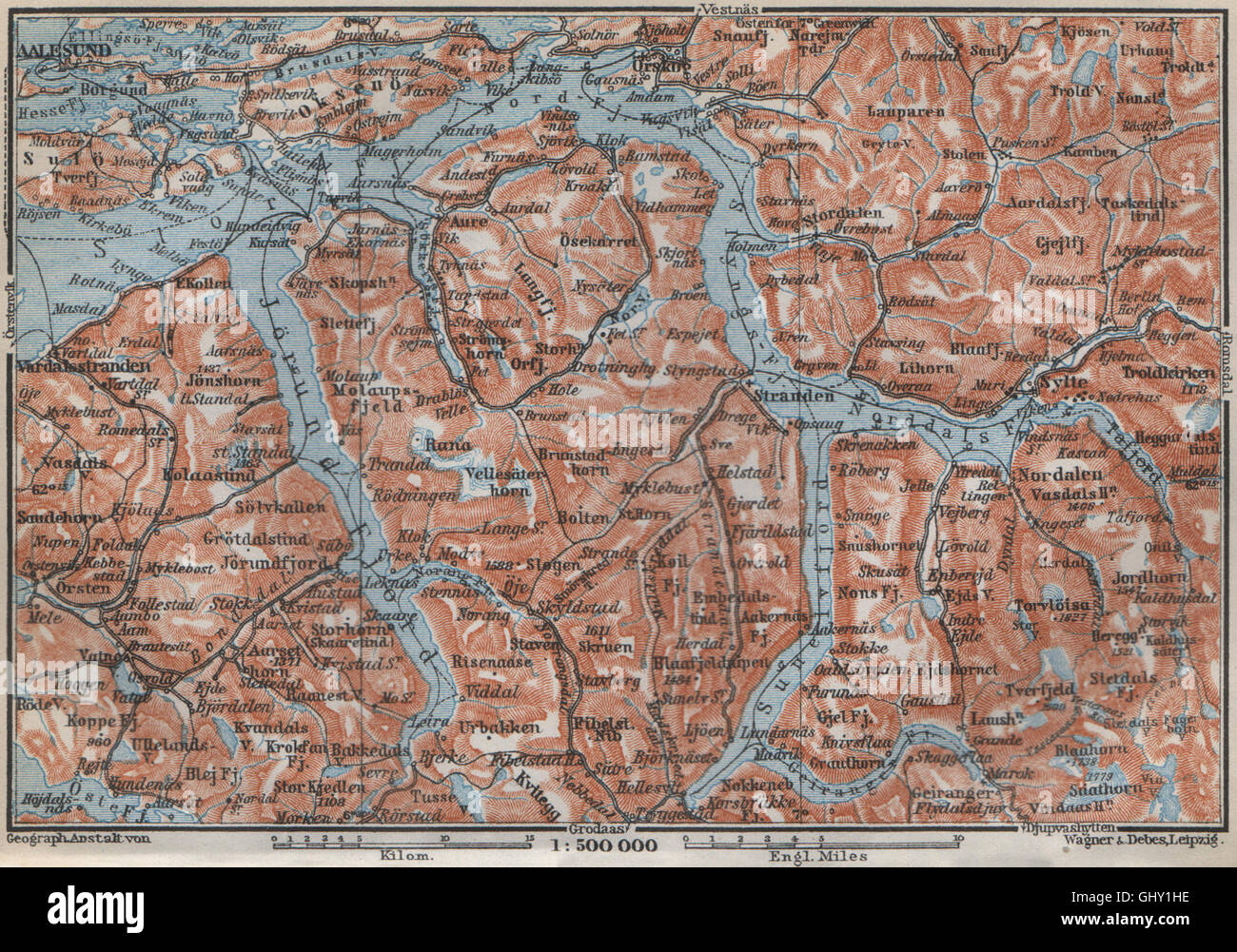 Hjørundfjorden Geirangerfjord Topo-Karte. Alesund Stranda beträgt. Norwegen, 1912 Stockfotohttps://www.alamy.de/image-license-details/?v=1https://www.alamy.de/stockfoto-hjrundfjorden-geirangerfjord-topo-karte-alesund-stranda-betragt-norwegen-1912-114305338.html
RFGHY1HE–Hjørundfjorden Geirangerfjord Topo-Karte. Alesund Stranda beträgt. Norwegen, 1912
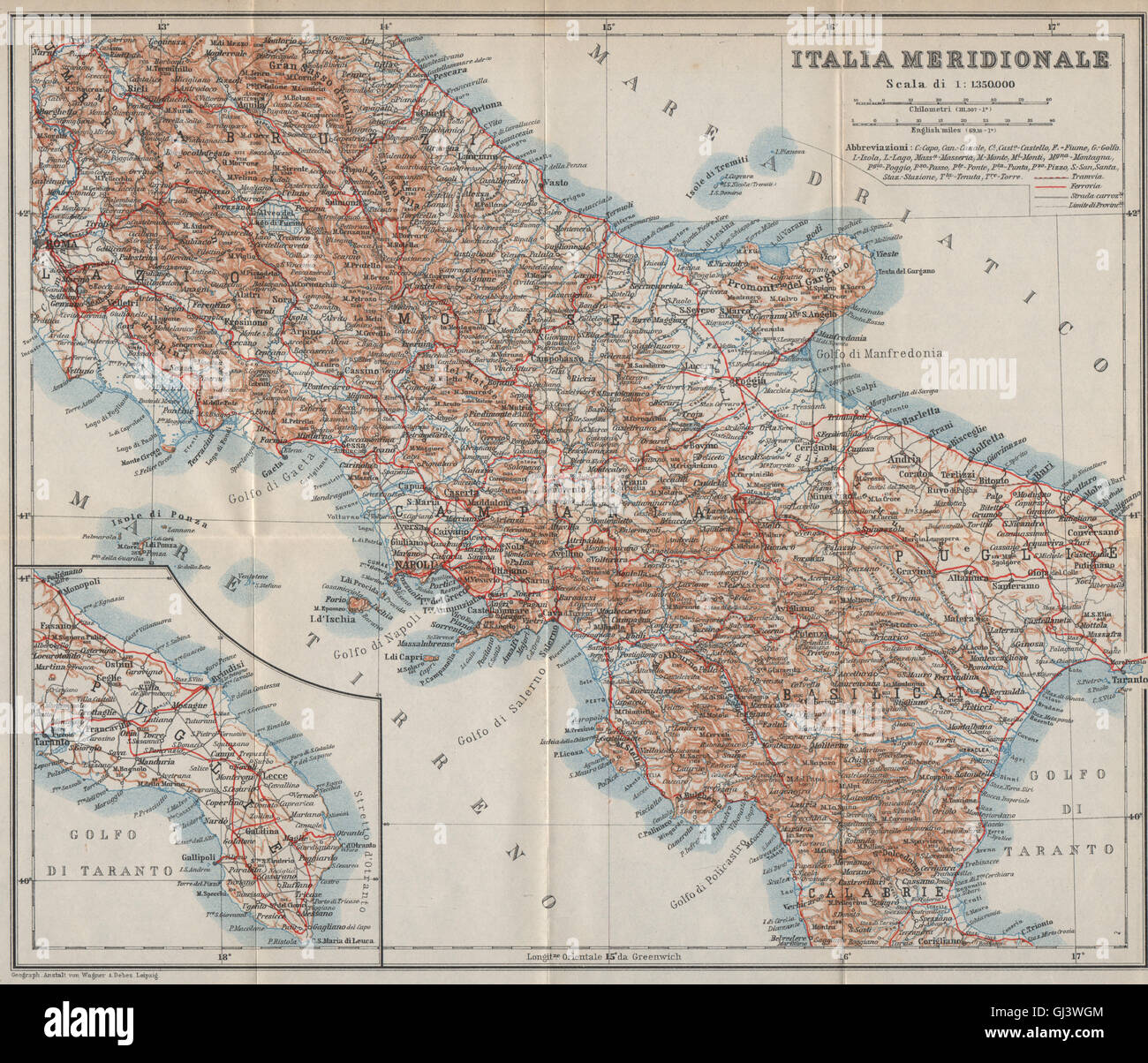 SÜDITALIEN. ITALIA MERIDIONALE. Topo-Karte Mappa. BAEDEKER, 1912 Stockfotohttps://www.alamy.de/image-license-details/?v=1https://www.alamy.de/stockfoto-suditalien-italia-meridionale-topo-karte-mappa-baedeker-1912-114411940.html
RFGJ3WGM–SÜDITALIEN. ITALIA MERIDIONALE. Topo-Karte Mappa. BAEDEKER, 1912
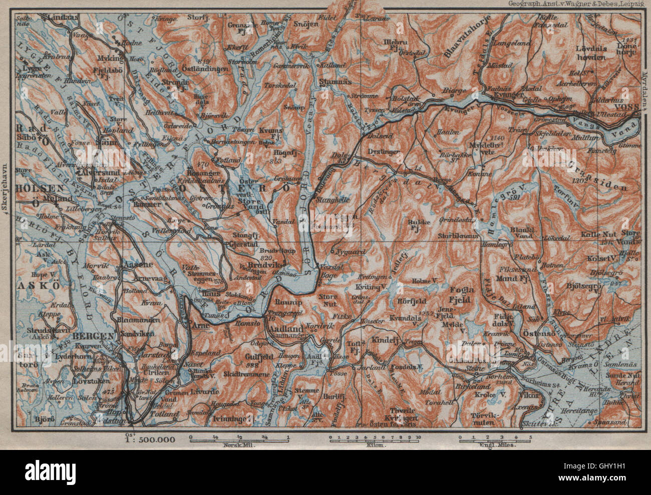 BERGEN-VOSSVANGEN. Sorfjord. Topo-Karte. Norwegen-Kart. BAEDEKER, 1912 Stockfotohttps://www.alamy.de/image-license-details/?v=1https://www.alamy.de/stockfoto-bergen-vossvangen-sorfjord-topo-karte-norwegen-kart-baedeker-1912-114305325.html
RFGHY1H1–BERGEN-VOSSVANGEN. Sorfjord. Topo-Karte. Norwegen-Kart. BAEDEKER, 1912
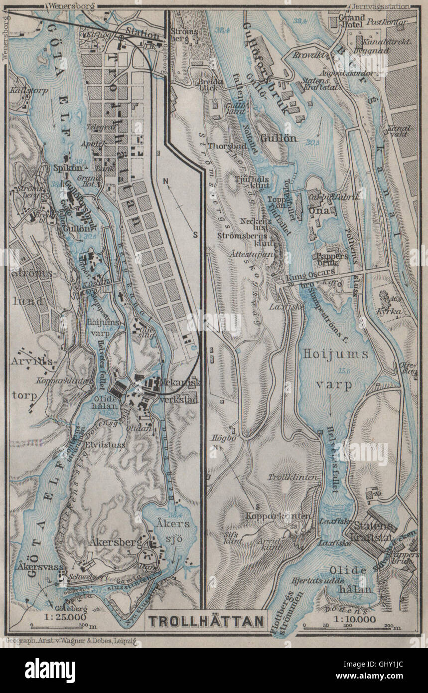 TROLLHATTAN FÄLLT. Trollhättan. Topo-Karte. Schweden-Karta. BAEDEKER, 1912 Stockfotohttps://www.alamy.de/image-license-details/?v=1https://www.alamy.de/stockfoto-trollhattan-fallt-trollhattan-topo-karte-schweden-karta-baedeker-1912-114305364.html
RFGHY1JC–TROLLHATTAN FÄLLT. Trollhättan. Topo-Karte. Schweden-Karta. BAEDEKER, 1912
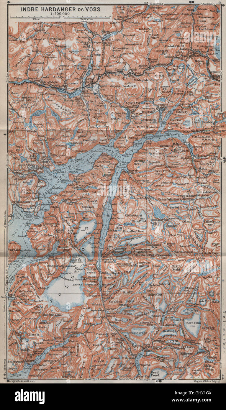 INNEREN HARDANGERFJORD Topo-Karte. Folgefonna. Norwegen-Kart. BAEDEKER, 1912 Stockfotohttps://www.alamy.de/image-license-details/?v=1https://www.alamy.de/stockfoto-inneren-hardangerfjord-topo-karte-folgefonna-norwegen-kart-baedeker-1912-114305322.html
RFGHY1GX–INNEREN HARDANGERFJORD Topo-Karte. Folgefonna. Norwegen-Kart. BAEDEKER, 1912
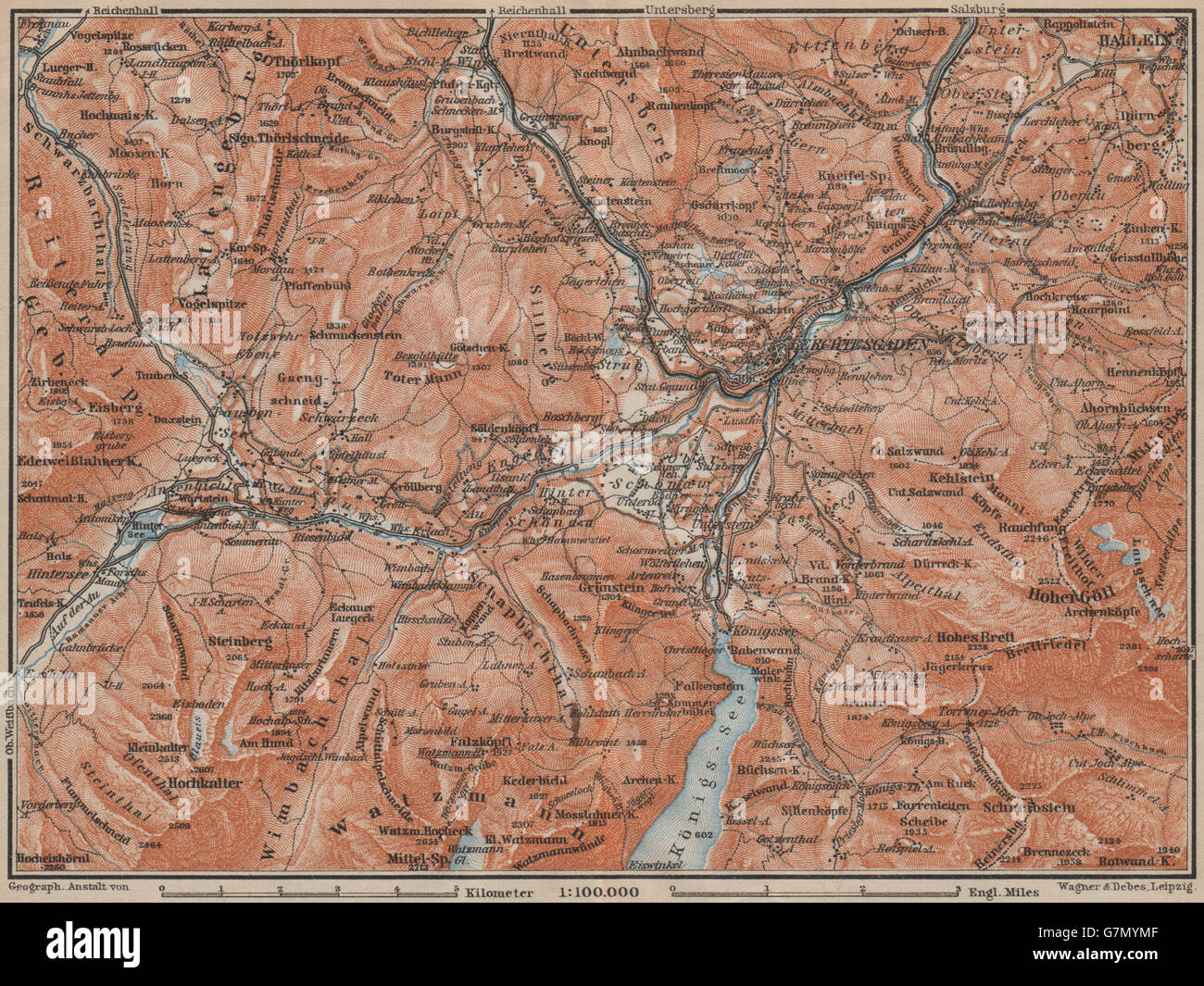 BERCHTESGADEN Umgebung Topo-Karte. Hallein Bayern Berchtesgadener Land, 1911 Stockfotohttps://www.alamy.de/image-license-details/?v=1https://www.alamy.de/stockfoto-berchtesgaden-umgebung-topo-karte-hallein-bayern-berchtesgadener-land-1911-108025583.html
RFG7MYMF–BERCHTESGADEN Umgebung Topo-Karte. Hallein Bayern Berchtesgadener Land, 1911
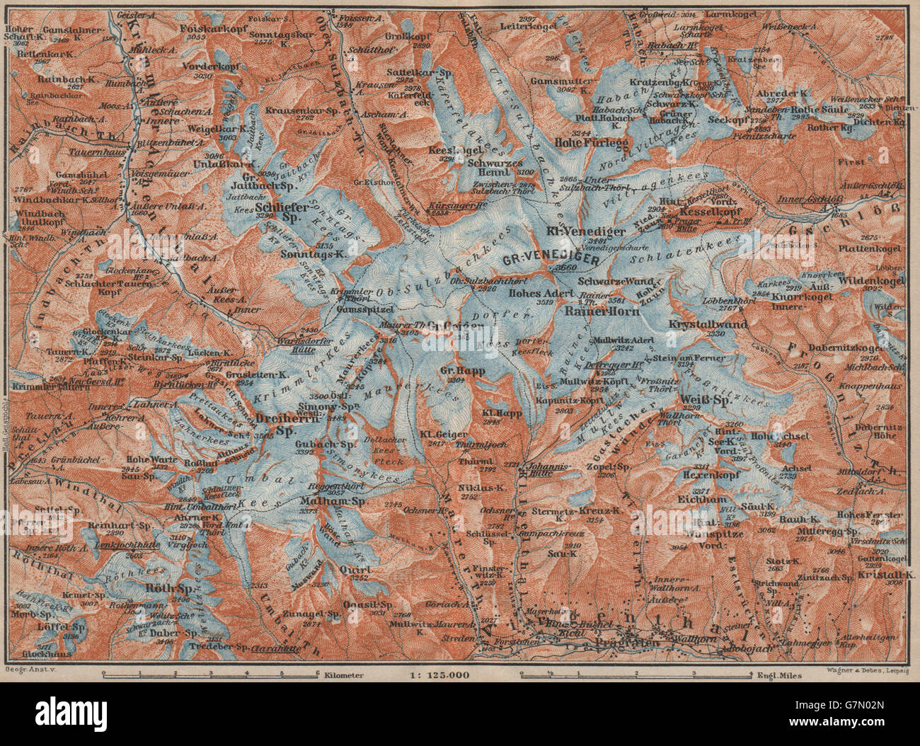 Grobe VENEDIGERGRUPPE Gruppe Topo-Karte. Prägraten. Österreich Österreich, 1911 Stockfotohttps://www.alamy.de/image-license-details/?v=1https://www.alamy.de/stockfoto-grobe-venedigergruppe-gruppe-topo-karte-pragraten-osterreich-osterreich-1911-108025869.html
RFG7N02N–Grobe VENEDIGERGRUPPE Gruppe Topo-Karte. Prägraten. Österreich Österreich, 1911
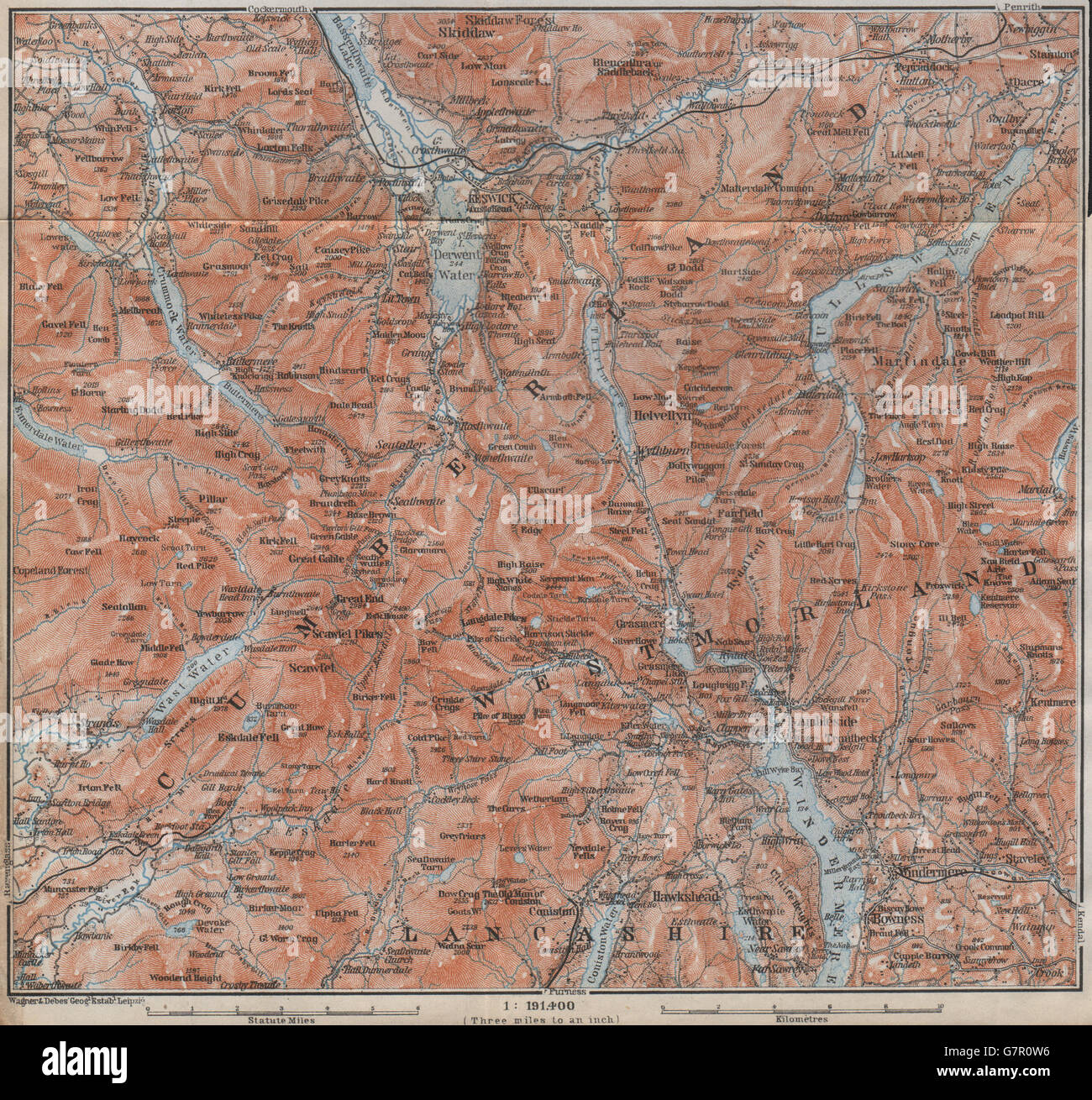 DER LAKE DISTRICT Topo-Karte. Keswick Wimdermere Grasmere Ambleside, 1910 Stockfotohttps://www.alamy.de/image-license-details/?v=1https://www.alamy.de/stockfoto-der-lake-district-topo-karte-keswick-wimdermere-grasmere-ambleside-1910-108070402.html
RFG7R0W6–DER LAKE DISTRICT Topo-Karte. Keswick Wimdermere Grasmere Ambleside, 1910
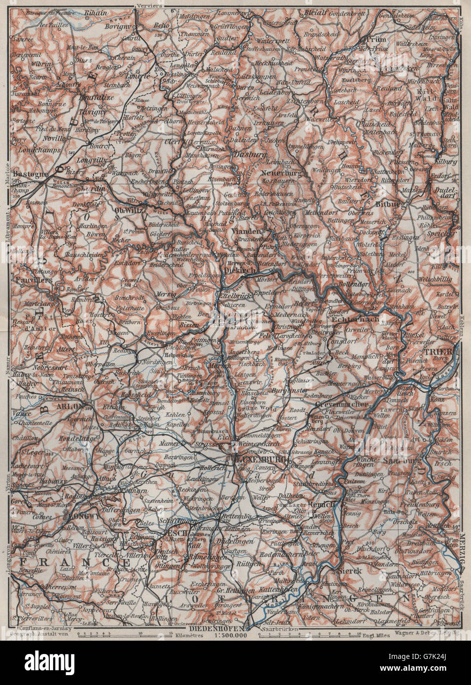 Das GROßHERZOGTUM LUXEMBURG Luxemburg Topo-Karte Carte. BAEDEKER, 1910 Stockfotohttps://www.alamy.de/image-license-details/?v=1https://www.alamy.de/stockfoto-das-grossherzogtum-luxemburg-luxemburg-topo-karte-carte-baedeker-1910-107983586.html
RFG7K24J–Das GROßHERZOGTUM LUXEMBURG Luxemburg Topo-Karte Carte. BAEDEKER, 1910
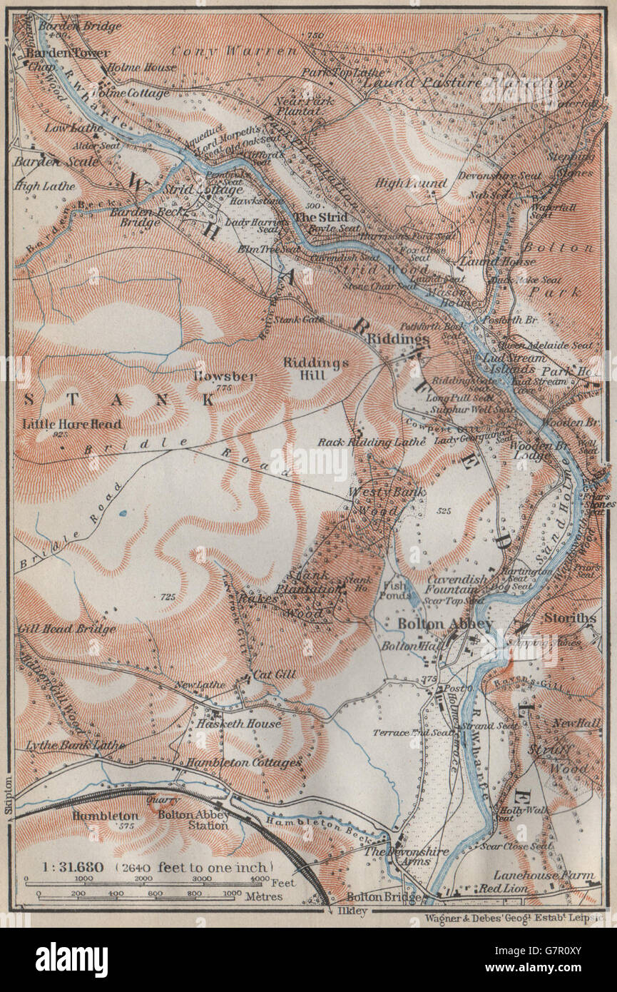 WHARFEDALE Topo-Karte. Bolton Abbey. Yorkshire Dales. BAEDEKER, 1910 Stockfotohttps://www.alamy.de/image-license-details/?v=1https://www.alamy.de/stockfoto-wharfedale-topo-karte-bolton-abbey-yorkshire-dales-baedeker-1910-108070451.html
RFG7R0XY–WHARFEDALE Topo-Karte. Bolton Abbey. Yorkshire Dales. BAEDEKER, 1910
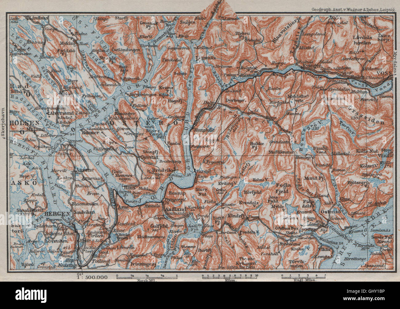 BERGEN-VOSSVANGEN. Sorfjord. Topo-Karte. Norwegen-Kart. BAEDEKER, 1909 Stockfotohttps://www.alamy.de/image-license-details/?v=1https://www.alamy.de/stockfoto-bergen-vossvangen-sorfjord-topo-karte-norwegen-kart-baedeker-1909-114305178.html
RFGHY1BP–BERGEN-VOSSVANGEN. Sorfjord. Topo-Karte. Norwegen-Kart. BAEDEKER, 1909
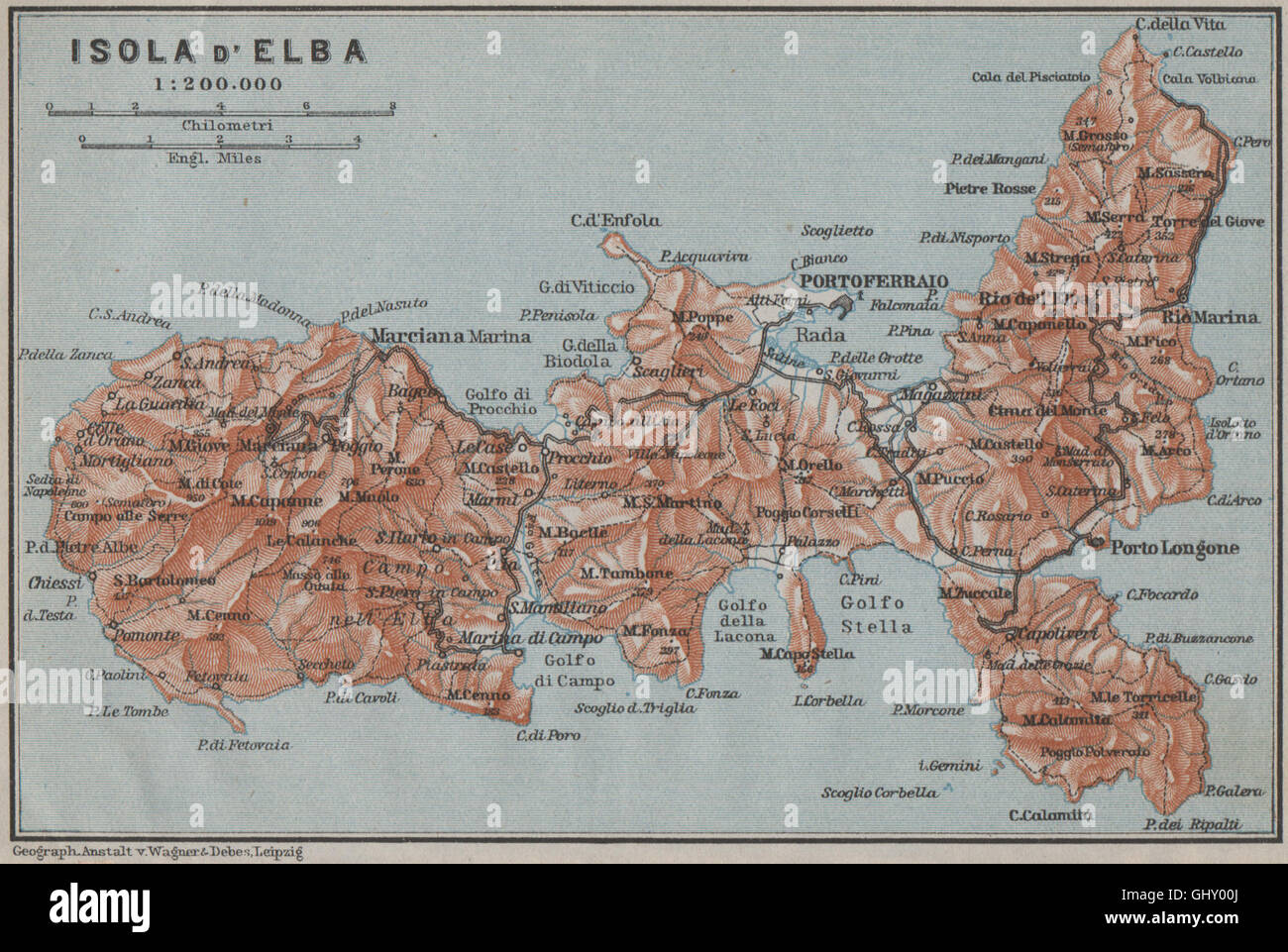 ISOLA D'ELBA Topo-Karte. Portoferraio. Italien-Mappa. BAEDEKER, 1909 Stockfotohttps://www.alamy.de/image-license-details/?v=1https://www.alamy.de/stockfoto-isola-delba-topo-karte-portoferraio-italien-mappa-baedeker-1909-114304082.html
RFGHY00J–ISOLA D'ELBA Topo-Karte. Portoferraio. Italien-Mappa. BAEDEKER, 1909
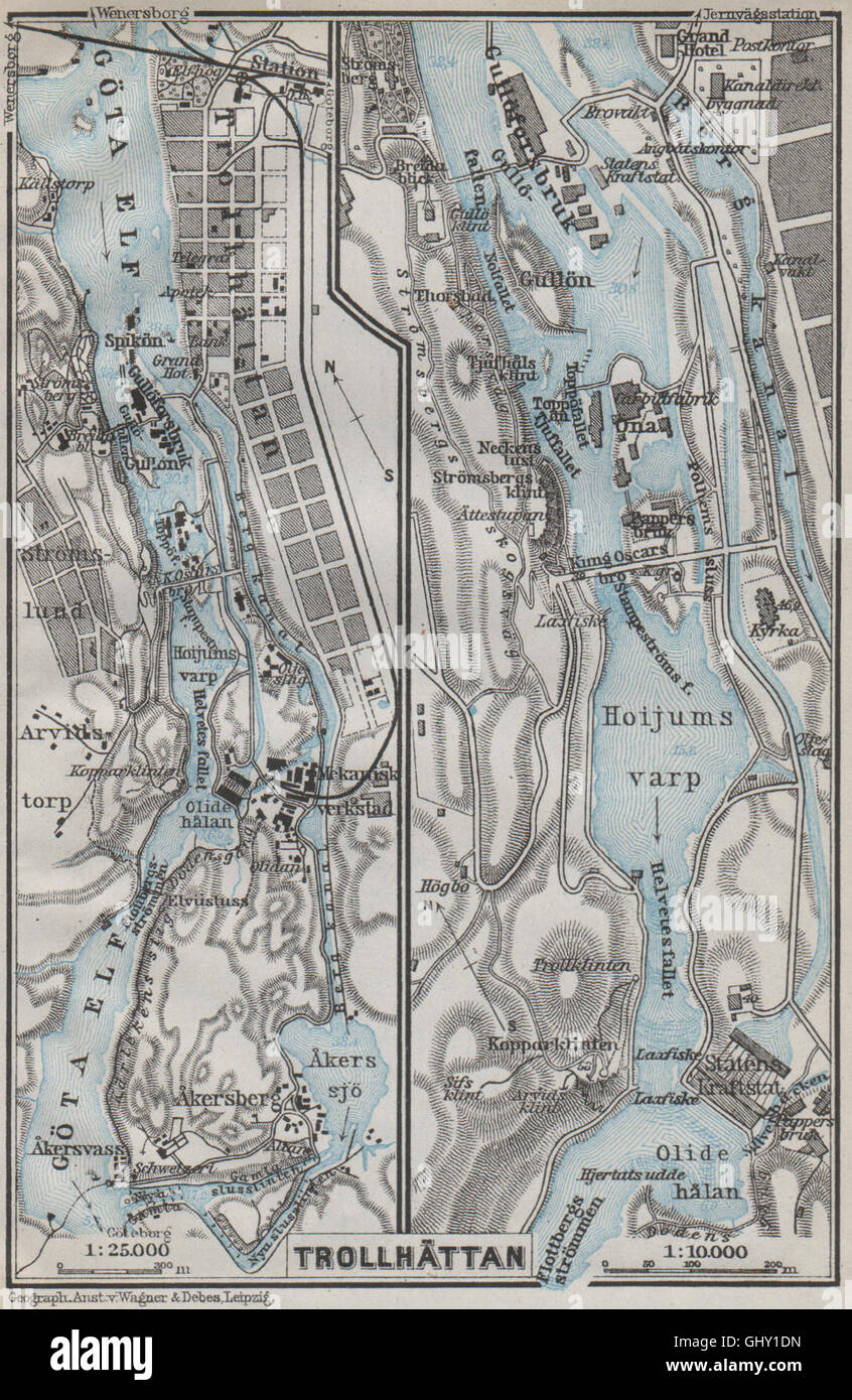 TROLLHATTAN FÄLLT. Trollhättan. Topo-Karte. Schweden-Karta. BAEDEKER, 1909 Stockfotohttps://www.alamy.de/image-license-details/?v=1https://www.alamy.de/stockfoto-trollhattan-fallt-trollhattan-topo-karte-schweden-karta-baedeker-1909-114305233.html
RFGHY1DN–TROLLHATTAN FÄLLT. Trollhättan. Topo-Karte. Schweden-Karta. BAEDEKER, 1909
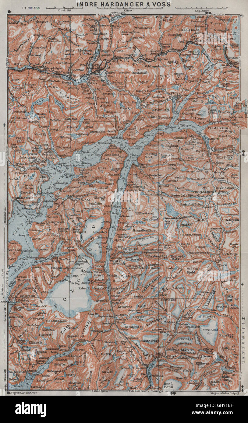 INNEREN HARDANGERFJORD Topo-Karte. Folgefonna. Norwegen-Kart. BAEDEKER, 1909 Stockfotohttps://www.alamy.de/image-license-details/?v=1https://www.alamy.de/stockfoto-inneren-hardangerfjord-topo-karte-folgefonna-norwegen-kart-baedeker-1909-114305171.html
RFGHY1BF–INNEREN HARDANGERFJORD Topo-Karte. Folgefonna. Norwegen-Kart. BAEDEKER, 1909
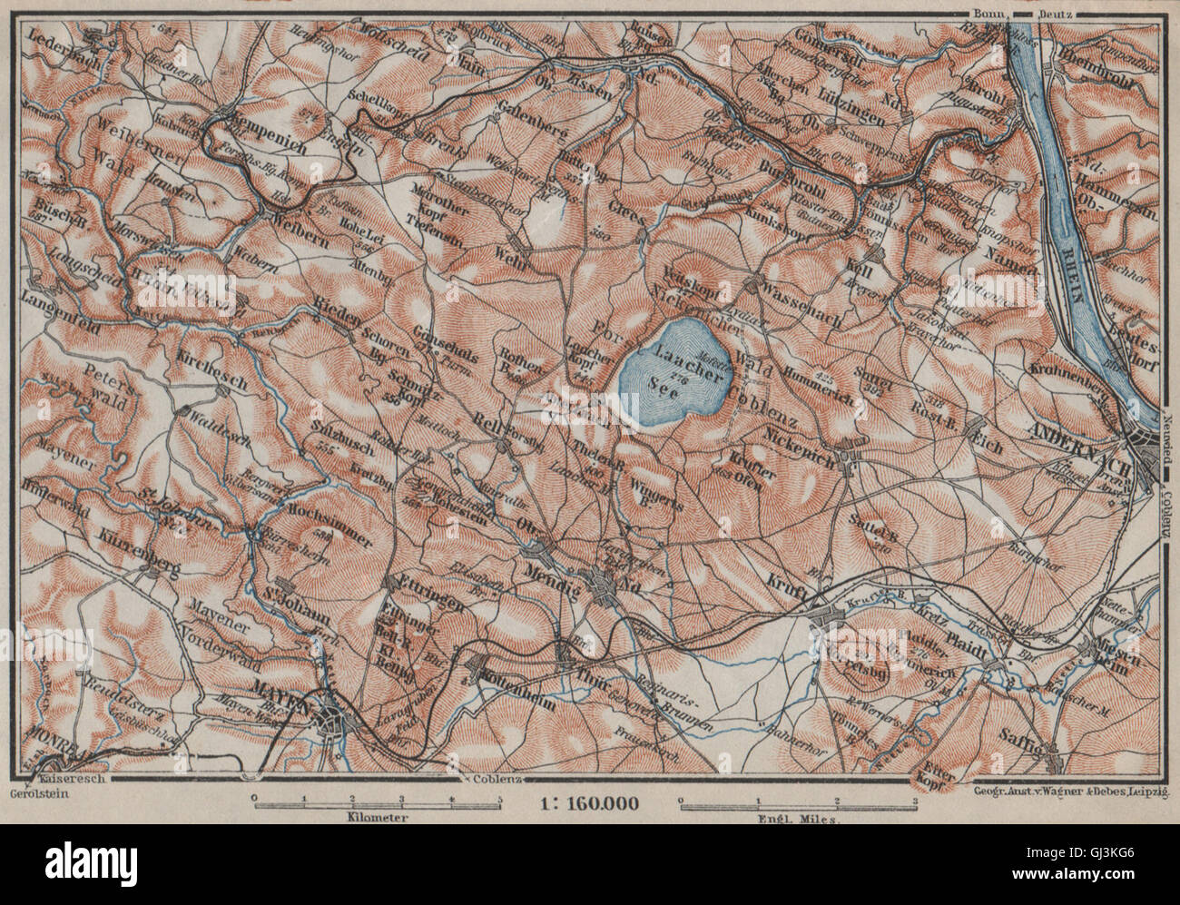 LAACHER SEE. Vulkaneifel Topo-Karte Andernach Mayen Rheinland-Pfalz, 1906 Stockfotohttps://www.alamy.de/image-license-details/?v=1https://www.alamy.de/stockfoto-laacher-see-vulkaneifel-topo-karte-andernach-mayen-rheinland-pfalz-1906-114407222.html
RFGJ3KG6–LAACHER SEE. Vulkaneifel Topo-Karte Andernach Mayen Rheinland-Pfalz, 1906
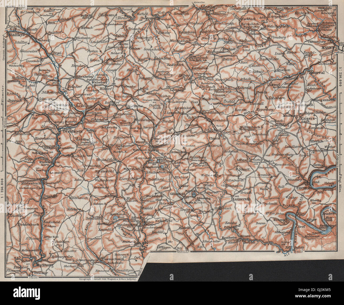 VULKANEIFEL. DIE VULKANEIFEL Topo-Karte. Gerolstein. Deutschland Karte, 1906 Stockfotohttps://www.alamy.de/image-license-details/?v=1https://www.alamy.de/stockfoto-vulkaneifel-die-vulkaneifel-topo-karte-gerolstein-deutschland-karte-1906-114407333.html
RFGJ3KM5–VULKANEIFEL. DIE VULKANEIFEL Topo-Karte. Gerolstein. Deutschland Karte, 1906
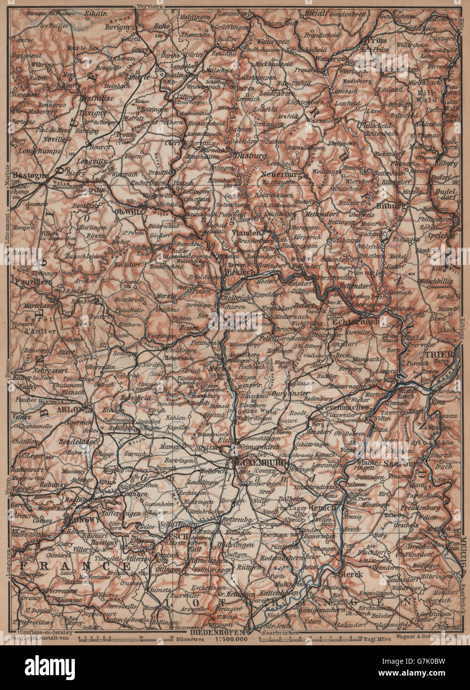 Das GROßHERZOGTUM LUXEMBURG Luxemburg Topo-Karte Carte. BAEDEKER, 1905 Stockfotohttps://www.alamy.de/image-license-details/?v=1https://www.alamy.de/stockfoto-das-grossherzogtum-luxemburg-luxemburg-topo-karte-carte-baedeker-1905-107982221.html
RFG7K0BW–Das GROßHERZOGTUM LUXEMBURG Luxemburg Topo-Karte Carte. BAEDEKER, 1905
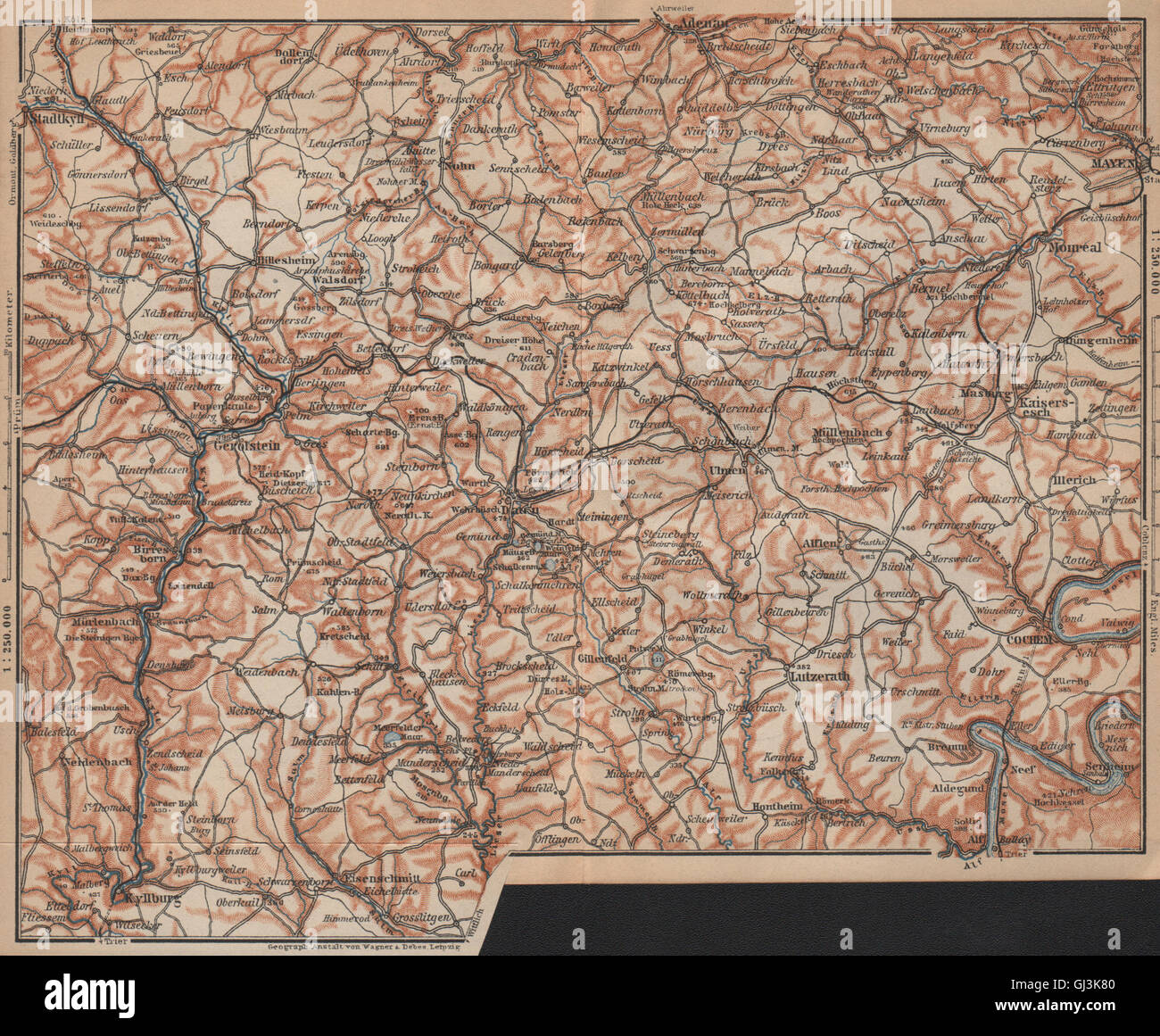 VULKANEIFEL. DIE VULKANEIFEL Topo-Karte. Gerolstein. Deutschland Karte, 1903 Stockfotohttps://www.alamy.de/image-license-details/?v=1https://www.alamy.de/stockfoto-vulkaneifel-die-vulkaneifel-topo-karte-gerolstein-deutschland-karte-1903-114406992.html
RFGJ3K80–VULKANEIFEL. DIE VULKANEIFEL Topo-Karte. Gerolstein. Deutschland Karte, 1903
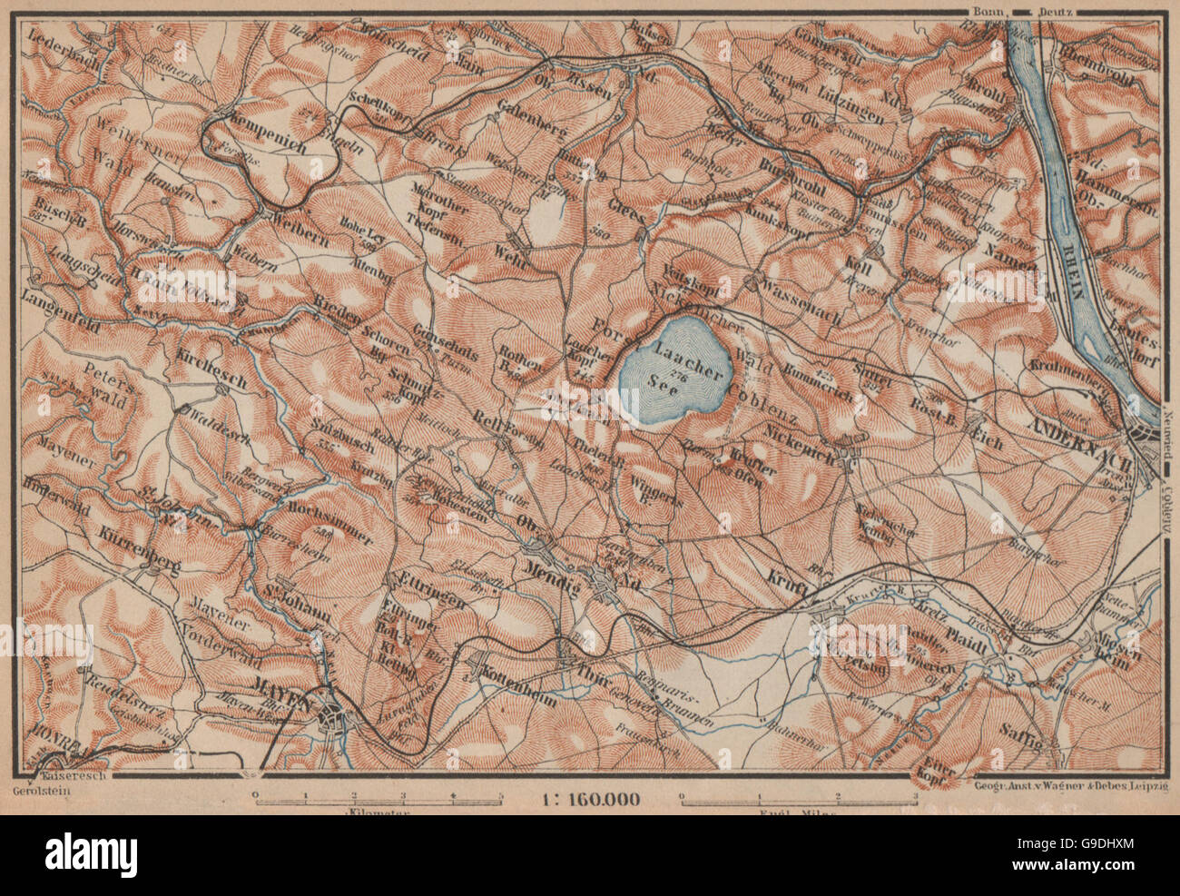 LAACHER SEE. Vulkaneifel Topo-Karte Andernach Mayen Rheinland-Pfalz, 1903 Stockfotohttps://www.alamy.de/image-license-details/?v=1https://www.alamy.de/stockfoto-laacher-see-vulkaneifel-topo-karte-andernach-mayen-rheinland-pfalz-1903-109093564.html
RFG9DHXM–LAACHER SEE. Vulkaneifel Topo-Karte Andernach Mayen Rheinland-Pfalz, 1903
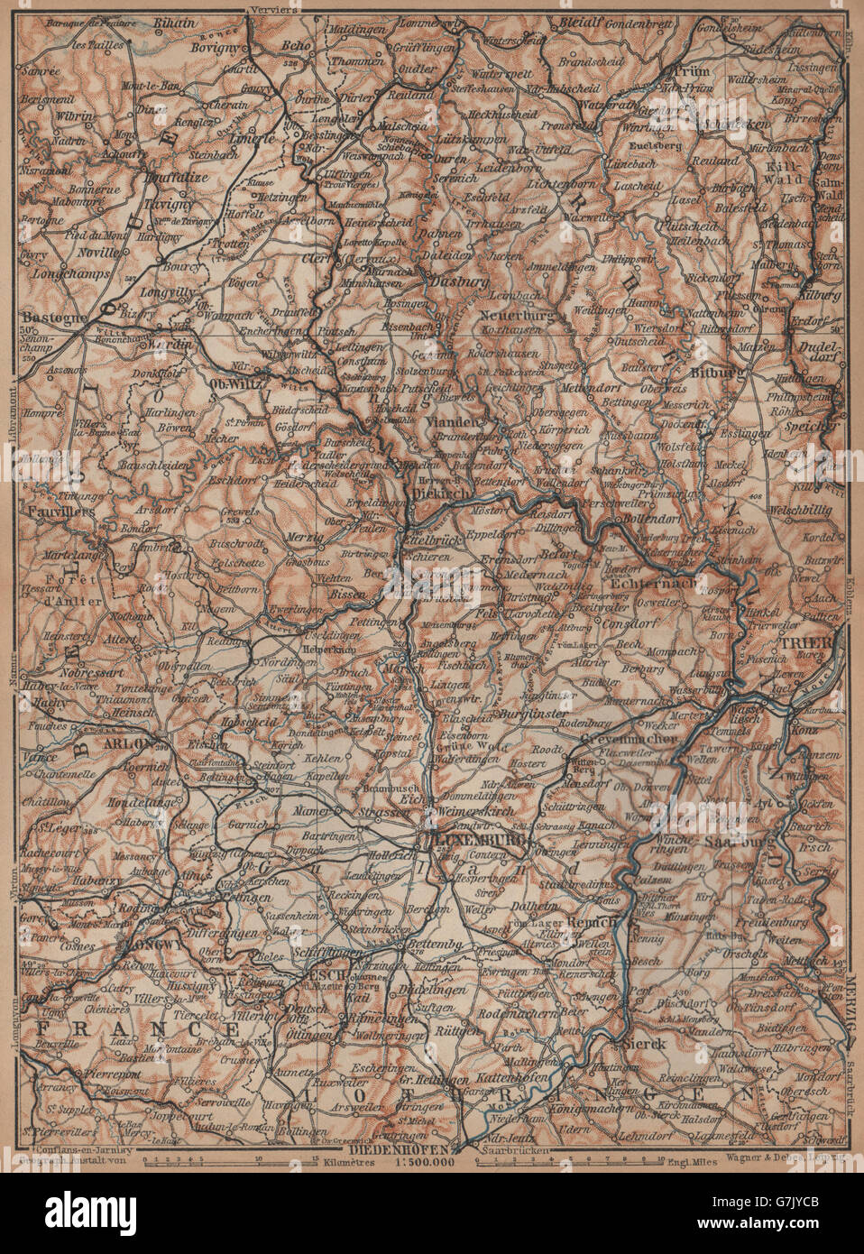 Das GROßHERZOGTUM LUXEMBURG Luxemburg Topo-Karte Carte. BAEDEKER, 1901 Stockfotohttps://www.alamy.de/image-license-details/?v=1https://www.alamy.de/stockfoto-das-grossherzogtum-luxemburg-luxemburg-topo-karte-carte-baedeker-1901-107981451.html
RFG7JYCB–Das GROßHERZOGTUM LUXEMBURG Luxemburg Topo-Karte Carte. BAEDEKER, 1901
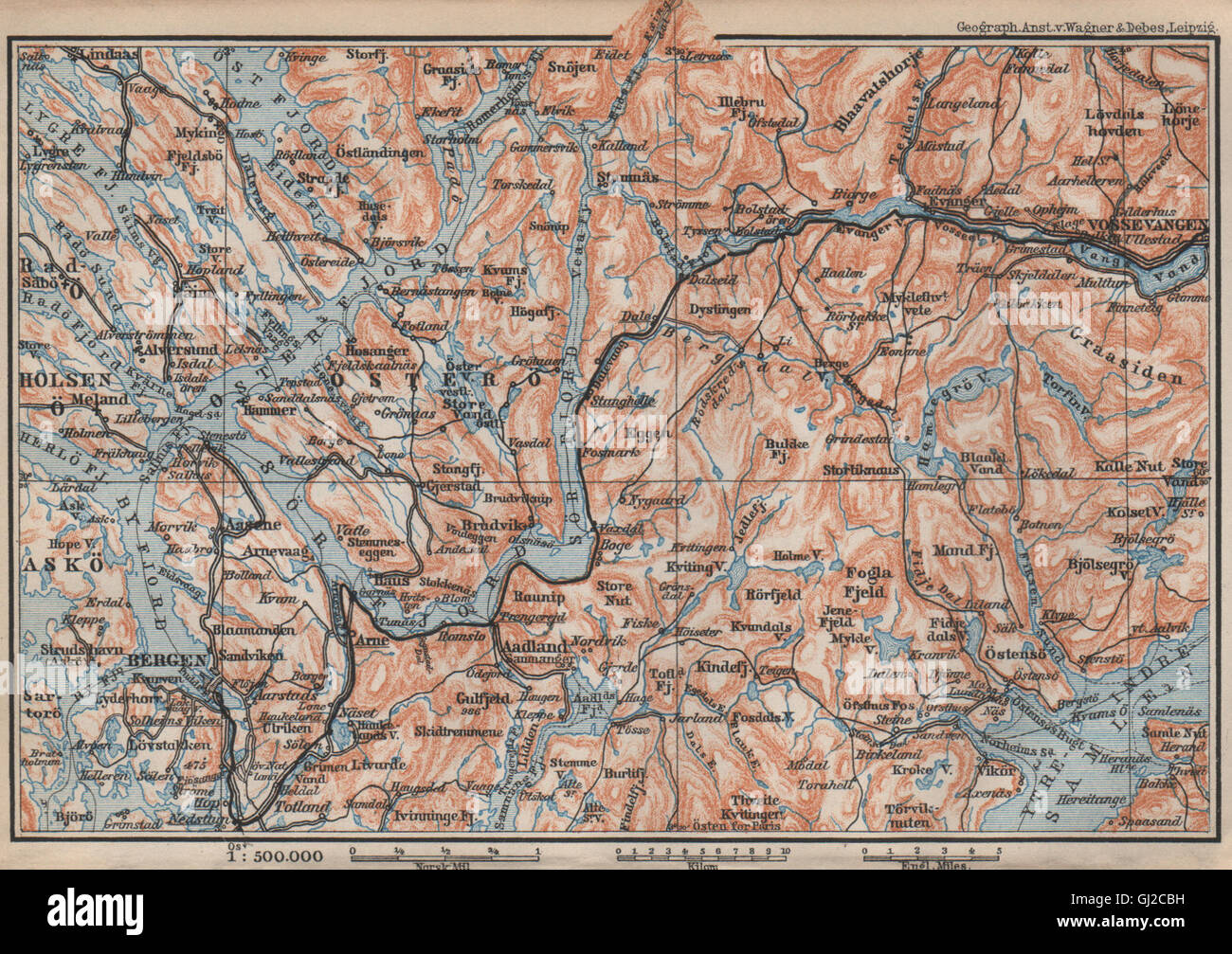 BERGEN-VOSSVANGEN. Sorfjord. Topo-Karte. Norwegen-Kart. BAEDEKER, 1899 Stockfotohttps://www.alamy.de/image-license-details/?v=1https://www.alamy.de/stockfoto-bergen-vossvangen-sorfjord-topo-karte-norwegen-kart-baedeker-1899-114379653.html
RFGJ2CBH–BERGEN-VOSSVANGEN. Sorfjord. Topo-Karte. Norwegen-Kart. BAEDEKER, 1899
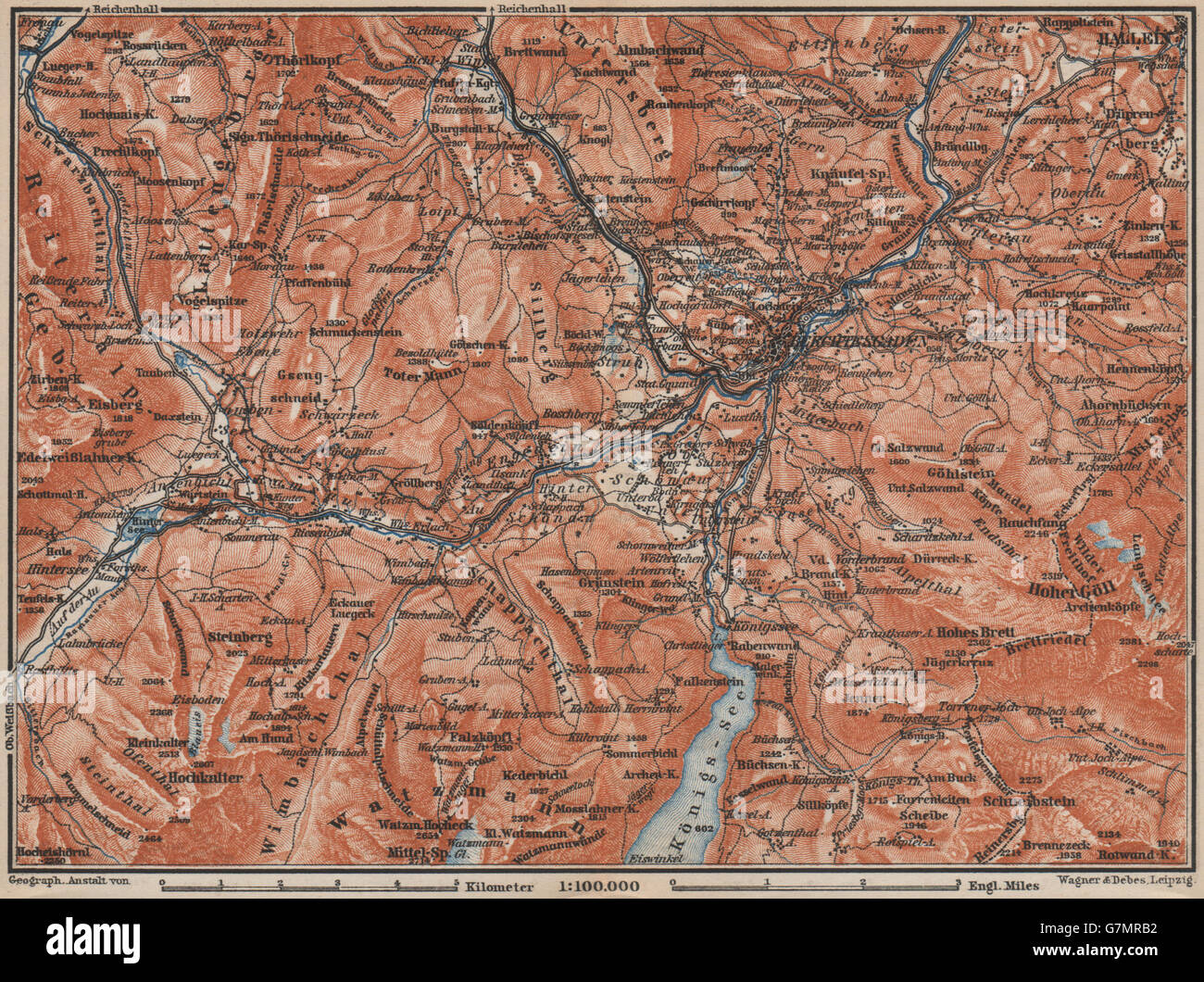 BERCHTESGADEN Umgebung Topo-Karte. Hallein Bayern Berchtesgadener Land, 1899 Stockfotohttps://www.alamy.de/image-license-details/?v=1https://www.alamy.de/stockfoto-berchtesgaden-umgebung-topo-karte-hallein-bayern-berchtesgadener-land-1899-108022182.html
RFG7MRB2–BERCHTESGADEN Umgebung Topo-Karte. Hallein Bayern Berchtesgadener Land, 1899
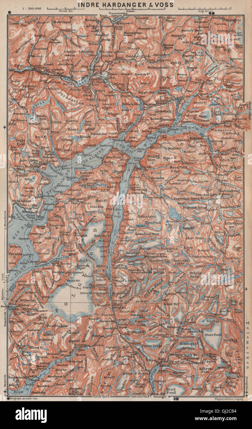 INNEREN HARDANGERFJORD Topo-Karte. Folgefonna. Norwegen-Kart. BAEDEKER, 1899 Stockfotohttps://www.alamy.de/image-license-details/?v=1https://www.alamy.de/stockfoto-inneren-hardangerfjord-topo-karte-folgefonna-norwegen-kart-baedeker-1899-114379640.html
RFGJ2CB4–INNEREN HARDANGERFJORD Topo-Karte. Folgefonna. Norwegen-Kart. BAEDEKER, 1899
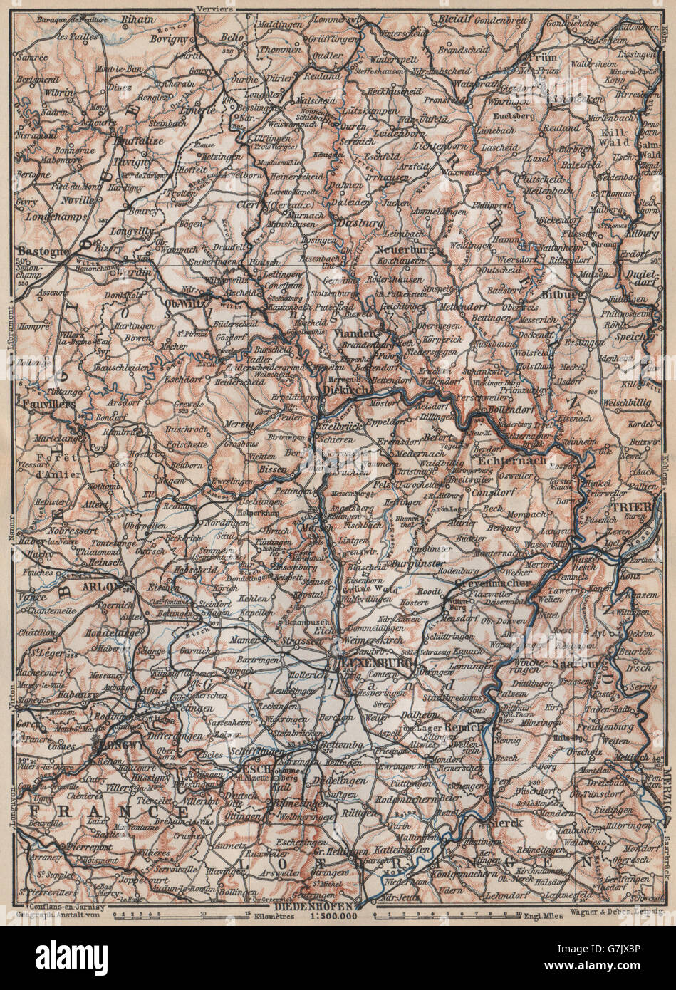 Das GROßHERZOGTUM LUXEMBURG Luxemburg Topo-Karte Carte. BAEDEKER, 1897 Stockfotohttps://www.alamy.de/image-license-details/?v=1https://www.alamy.de/stockfoto-das-grossherzogtum-luxemburg-luxemburg-topo-karte-carte-baedeker-1897-107980426.html
RFG7JX3P–Das GROßHERZOGTUM LUXEMBURG Luxemburg Topo-Karte Carte. BAEDEKER, 1897
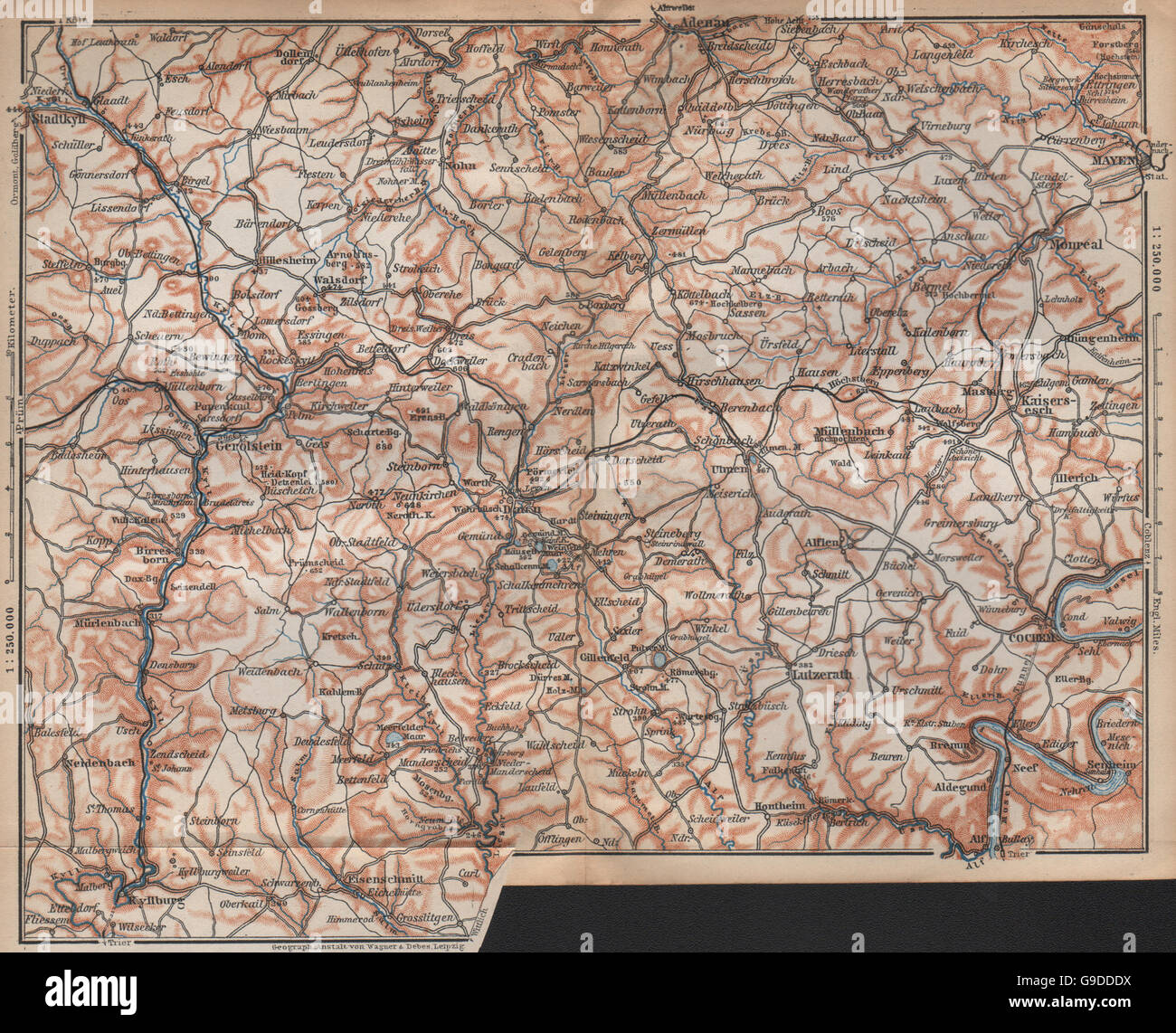 VULKANEIFEL. DIE VULKANEIFEL Topo-Karte. Gerolstein. Deutschland Karte, 1896 Stockfotohttps://www.alamy.de/image-license-details/?v=1https://www.alamy.de/stockfoto-vulkaneifel-die-vulkaneifel-topo-karte-gerolstein-deutschland-karte-1896-109090070.html
RFG9DDDX–VULKANEIFEL. DIE VULKANEIFEL Topo-Karte. Gerolstein. Deutschland Karte, 1896
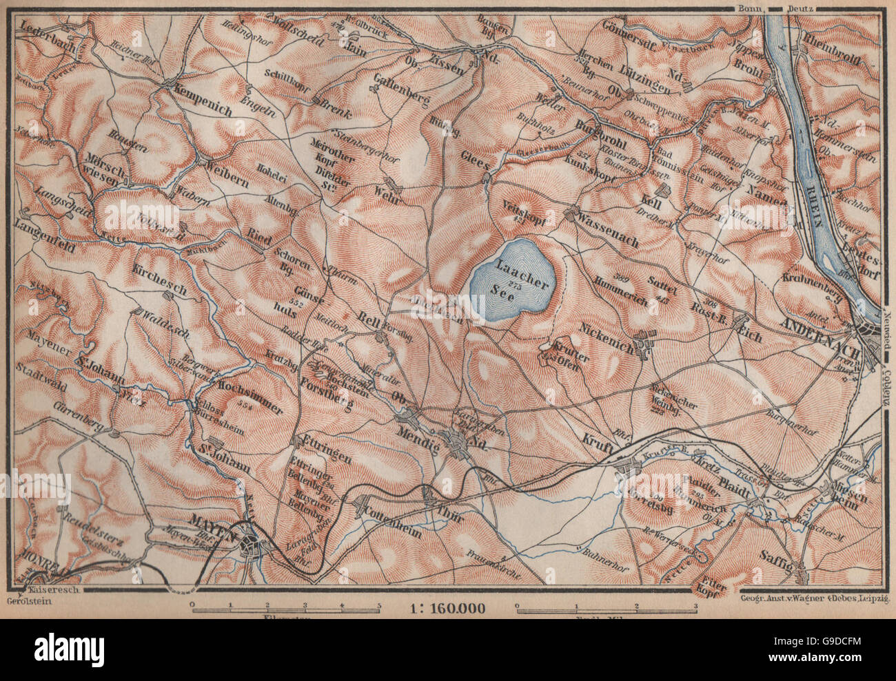 LAACHER SEE. Vulkaneifel Topo-Karte Andernach Mayen Rheinland-Pfalz, 1896 Stockfotohttps://www.alamy.de/image-license-details/?v=1https://www.alamy.de/stockfoto-laacher-see-vulkaneifel-topo-karte-andernach-mayen-rheinland-pfalz-1896-109089336.html
RFG9DCFM–LAACHER SEE. Vulkaneifel Topo-Karte Andernach Mayen Rheinland-Pfalz, 1896
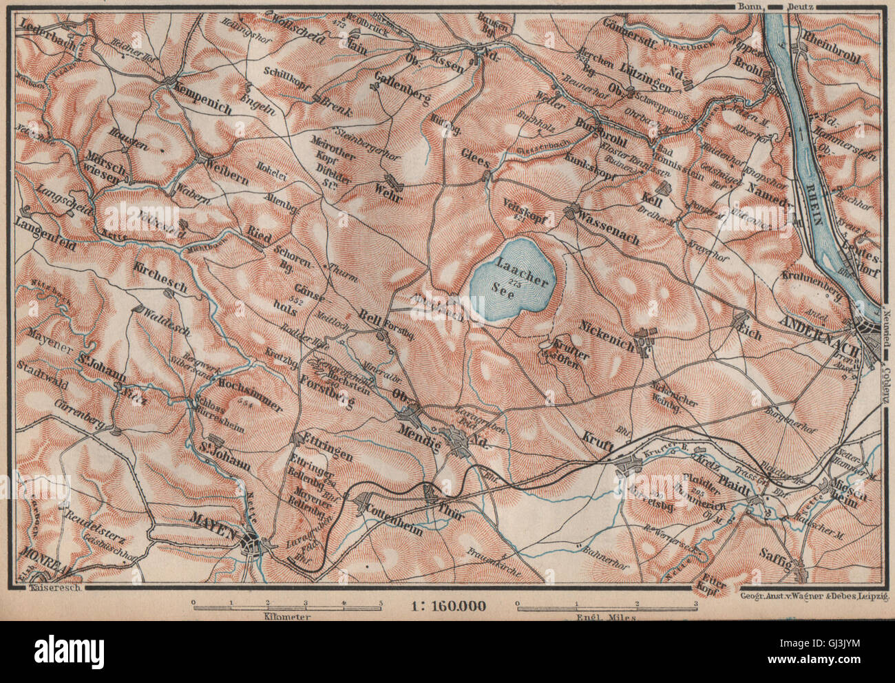 LAACHER SEE. Vulkaneifel Topo-Karte Andernach Mayen Rheinland-Pfalz, 1892 Stockfotohttps://www.alamy.de/image-license-details/?v=1https://www.alamy.de/stockfoto-laacher-see-vulkaneifel-topo-karte-andernach-mayen-rheinland-pfalz-1892-114406760.html
RFGJ3JYM–LAACHER SEE. Vulkaneifel Topo-Karte Andernach Mayen Rheinland-Pfalz, 1892
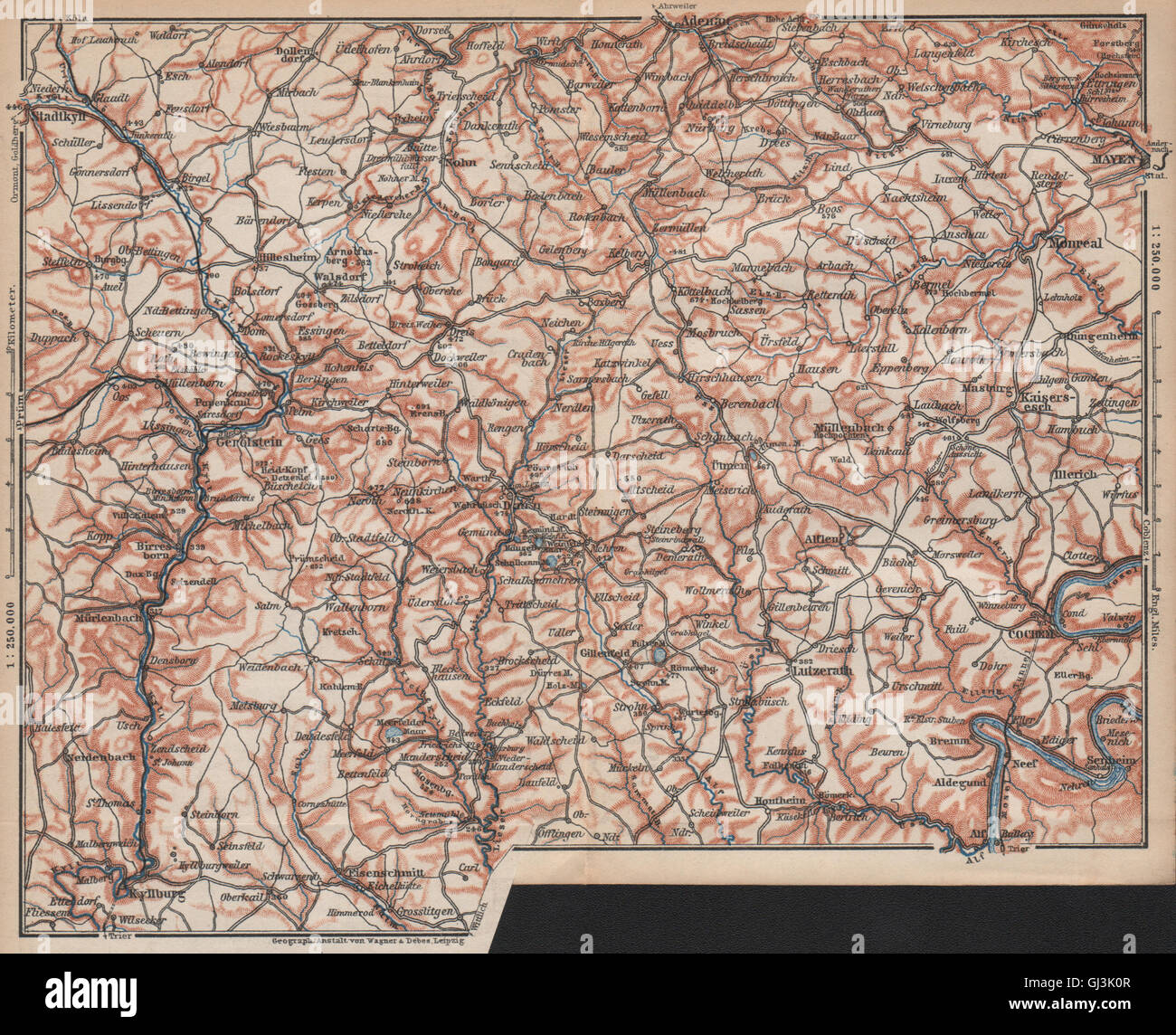 VULKANEIFEL. DIE VULKANEIFEL Topo-Karte. Gerolstein. Deutschland Karte, 1892 Stockfotohttps://www.alamy.de/image-license-details/?v=1https://www.alamy.de/stockfoto-vulkaneifel-die-vulkaneifel-topo-karte-gerolstein-deutschland-karte-1892-114406791.html
RFGJ3K0R–VULKANEIFEL. DIE VULKANEIFEL Topo-Karte. Gerolstein. Deutschland Karte, 1892
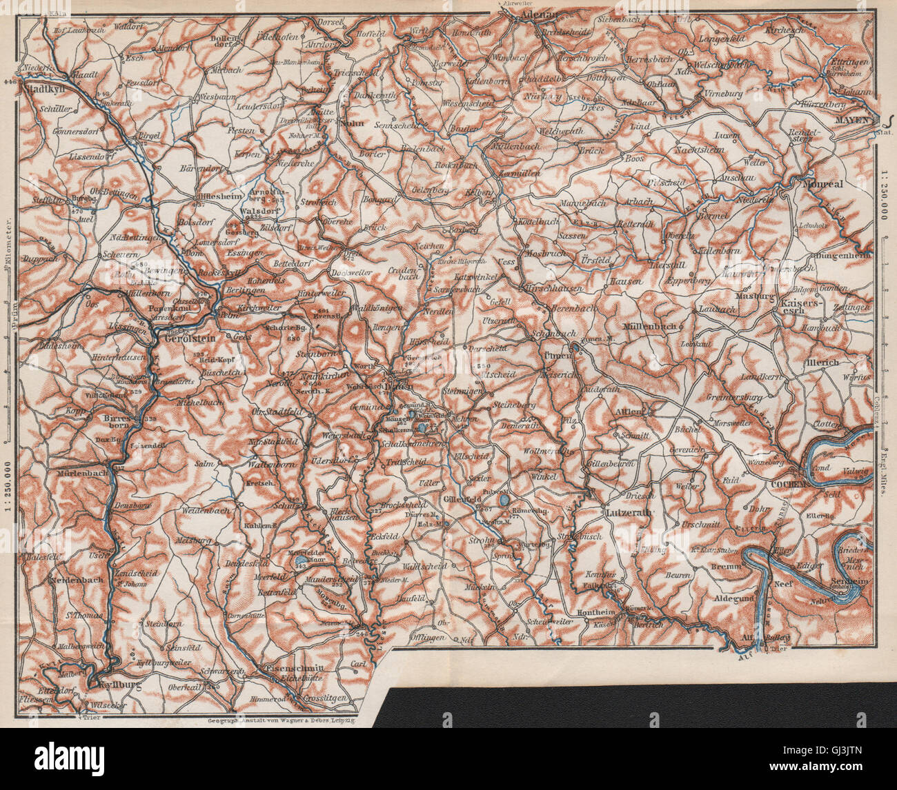 VULKANEIFEL. DIE VULKANEIFEL Topo-Karte. Gerolstein. Deutschland Karte, 1889 Stockfotohttps://www.alamy.de/image-license-details/?v=1https://www.alamy.de/stockfoto-vulkaneifel-die-vulkaneifel-topo-karte-gerolstein-deutschland-karte-1889-114406677.html
RFGJ3JTN–VULKANEIFEL. DIE VULKANEIFEL Topo-Karte. Gerolstein. Deutschland Karte, 1889
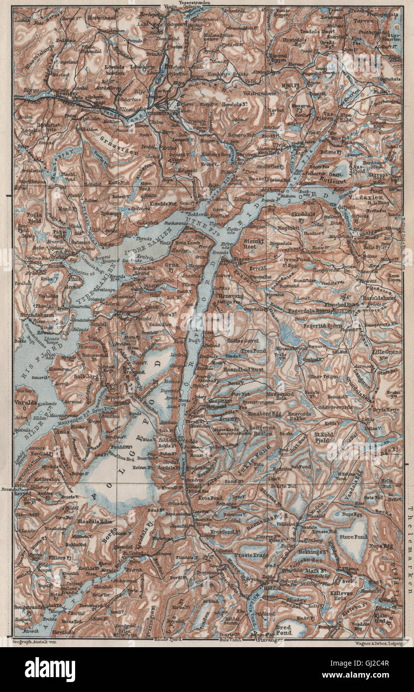 INNEREN HARDANGERFJORD Topo-Karte. Folgefonna. Norwegen-Kart. BAEDEKER, 1885 Stockfotohttps://www.alamy.de/image-license-details/?v=1https://www.alamy.de/stockfoto-inneren-hardangerfjord-topo-karte-folgefonna-norwegen-kart-baedeker-1885-114379463.html
RFGJ2C4R–INNEREN HARDANGERFJORD Topo-Karte. Folgefonna. Norwegen-Kart. BAEDEKER, 1885
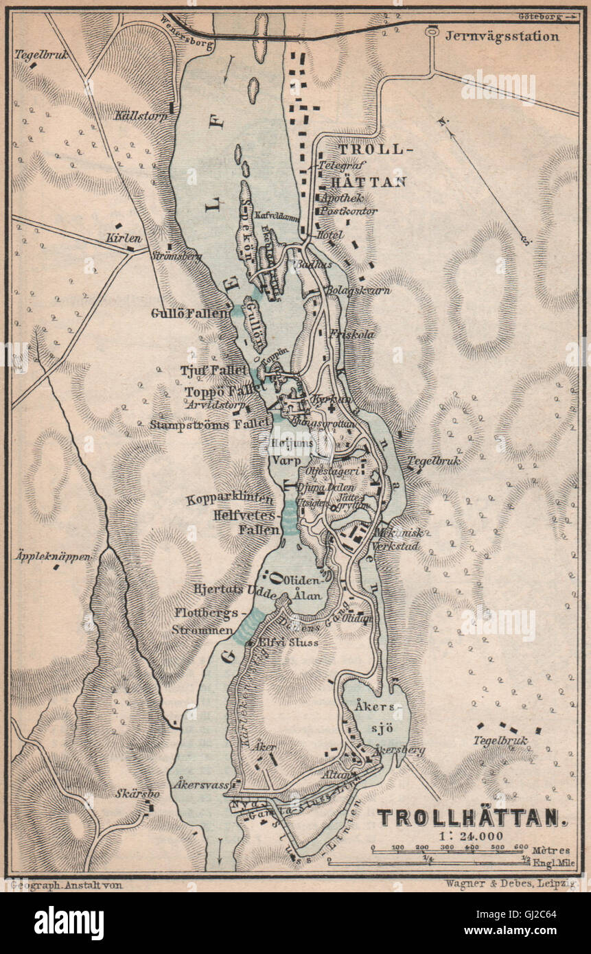 TROLLHATTAN FÄLLT. Trollhättan. Topo-Karte. Schweden-Karta. BAEDEKER, 1885 Stockfotohttps://www.alamy.de/image-license-details/?v=1https://www.alamy.de/stockfoto-trollhattan-fallt-trollhattan-topo-karte-schweden-karta-baedeker-1885-114379500.html
RFGJ2C64–TROLLHATTAN FÄLLT. Trollhättan. Topo-Karte. Schweden-Karta. BAEDEKER, 1885
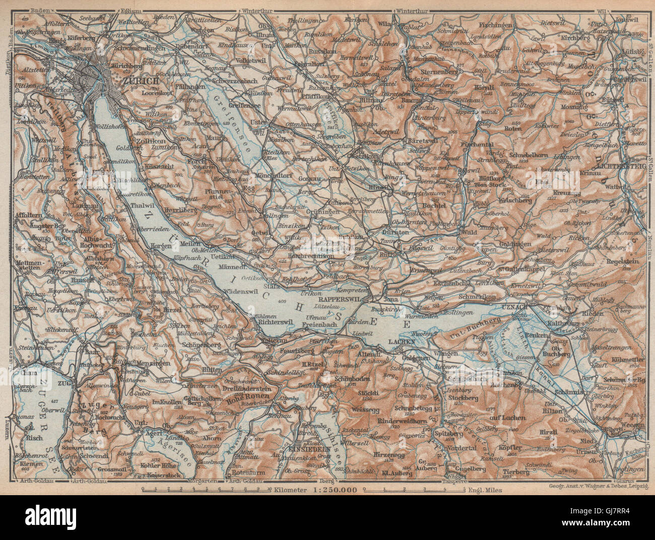 ZÜRICHSEE. Zürcher siehe Lachen Utznach.Topo-Karte. Schweiz Schweiz, 1938 Stockfotohttps://www.alamy.de/image-license-details/?v=1https://www.alamy.de/stockfoto-zurichsee-zurcher-siehe-lachen-utznachtopo-karte-schweiz-schweiz-1938-114498360.html
RFGJ7RR4–ZÜRICHSEE. Zürcher siehe Lachen Utznach.Topo-Karte. Schweiz Schweiz, 1938
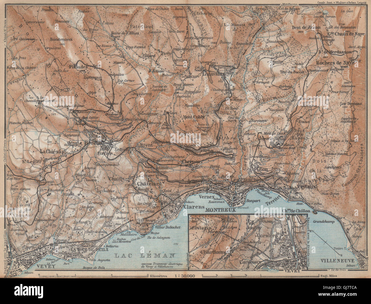 MONTREUX-BEREICH. Vevey Villneuve. Topo-Karte. Schweiz-Suisse-Schweiz, 1938 Stockfotohttps://www.alamy.de/image-license-details/?v=1https://www.alamy.de/stockfoto-montreux-bereich-vevey-villneuve-topo-karte-schweiz-suisse-schweiz-1938-114498842.html
RFGJ7TCA–MONTREUX-BEREICH. Vevey Villneuve. Topo-Karte. Schweiz-Suisse-Schweiz, 1938
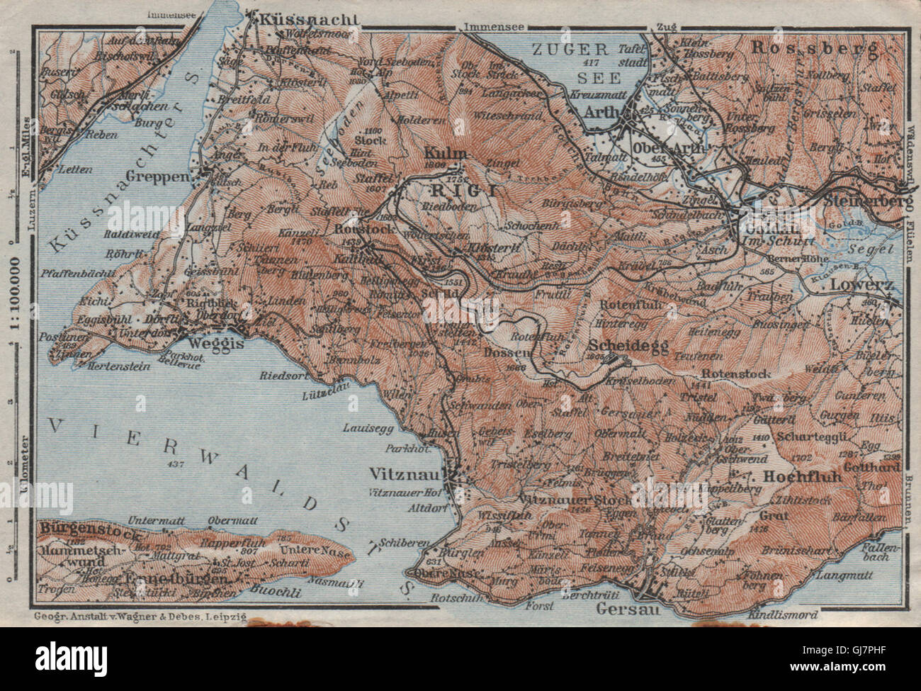 DIE RIGI. Lowerz Arth Gersau Küssnacht. Topo-Karte. Schweiz Schweiz, 1928 Stockfotohttps://www.alamy.de/image-license-details/?v=1https://www.alamy.de/stockfoto-die-rigi-lowerz-arth-gersau-kussnacht-topo-karte-schweiz-schweiz-1928-114497419.html
RFGJ7PHF–DIE RIGI. Lowerz Arth Gersau Küssnacht. Topo-Karte. Schweiz Schweiz, 1928
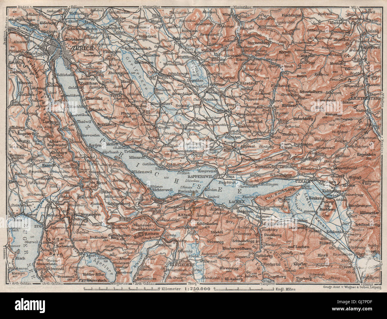 ZÜRICHSEE. Zürcher siehe Lachen Utznach.Topo-Karte. Schweiz Schweiz, 1928 Stockfotohttps://www.alamy.de/image-license-details/?v=1https://www.alamy.de/stockfoto-zurichsee-zurcher-siehe-lachen-utznachtopo-karte-schweiz-schweiz-1928-114497307.html
RFGJ7PDF–ZÜRICHSEE. Zürcher siehe Lachen Utznach.Topo-Karte. Schweiz Schweiz, 1928
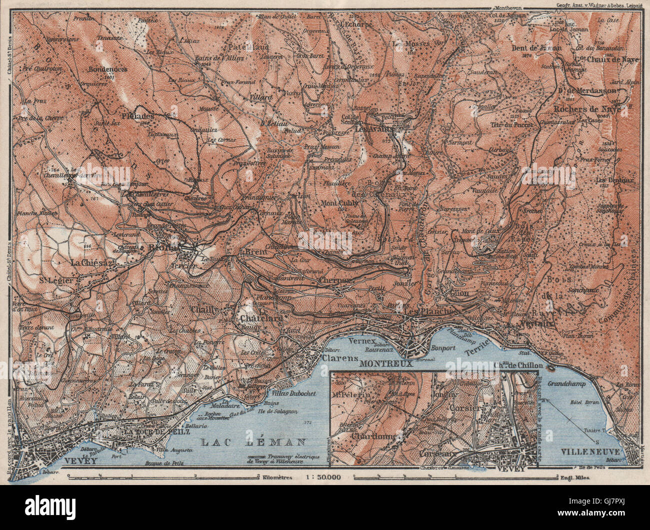 MONTREUX-BEREICH. Vevey Villneuve. Topo-Karte. Schweiz-Suisse-Schweiz, 1928 Stockfotohttps://www.alamy.de/image-license-details/?v=1https://www.alamy.de/stockfoto-montreux-bereich-vevey-villneuve-topo-karte-schweiz-suisse-schweiz-1928-114497674.html
RFGJ7PXJ–MONTREUX-BEREICH. Vevey Villneuve. Topo-Karte. Schweiz-Suisse-Schweiz, 1928
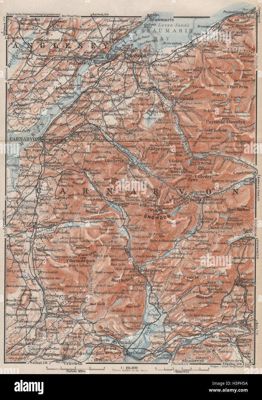 SNOWDONIA Topo-Karte. Caernarfon Bangor Menai Straits. Tremadoc. Wales 1927 Stockfotohttps://www.alamy.de/image-license-details/?v=1https://www.alamy.de/stockfoto-snowdonia-topo-karte-caernarfon-bangor-menai-straits-tremadoc-wales-1927-122812966.html
RFH3PH5A–SNOWDONIA Topo-Karte. Caernarfon Bangor Menai Straits. Tremadoc. Wales 1927
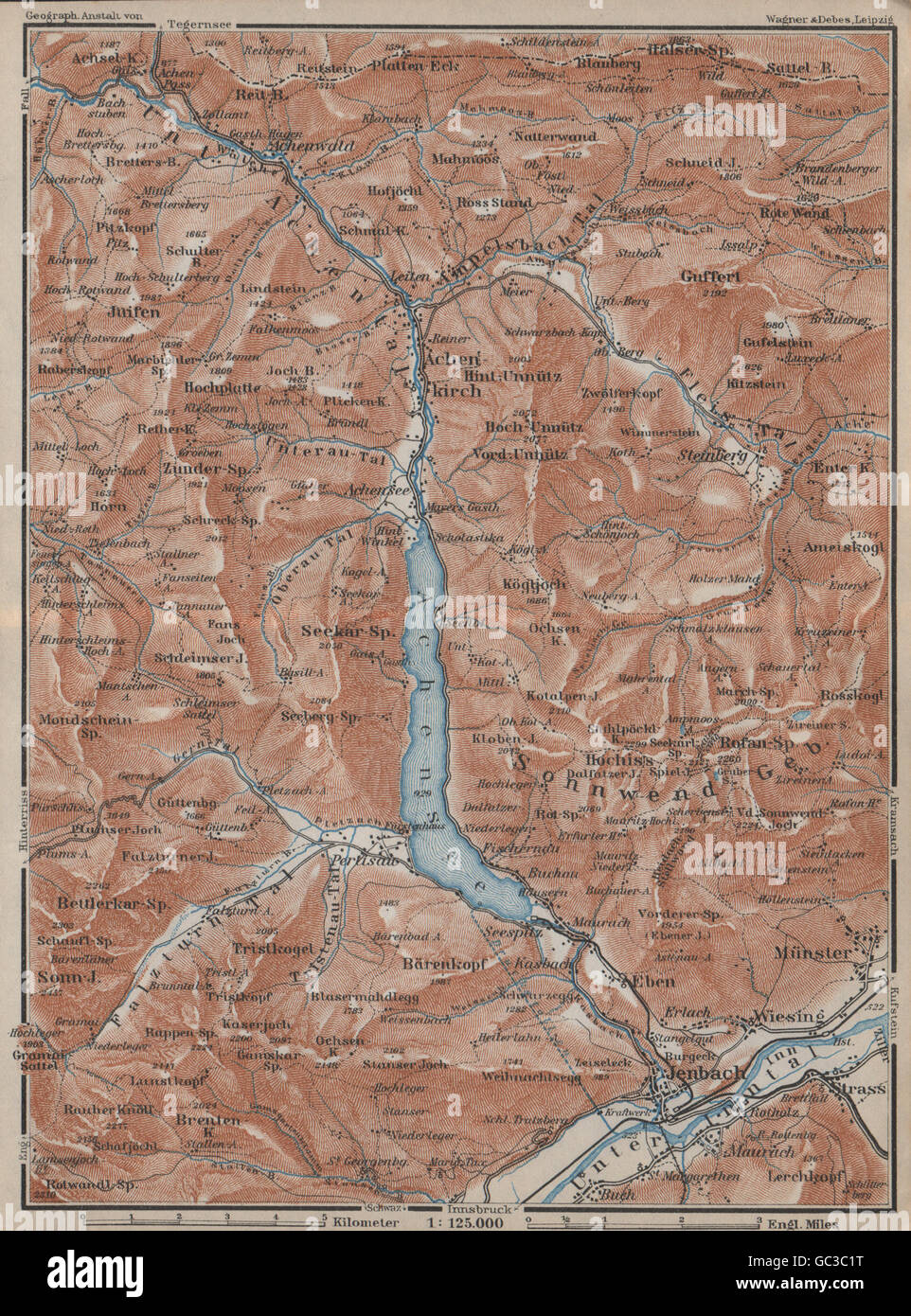 ACHENSEE & Umgebung. Jenbach Achenkirch. Topo-Karte. Österreich Österreich, 1927 Stockfotohttps://www.alamy.de/image-license-details/?v=1https://www.alamy.de/stockfoto-achensee-umgebung-jenbach-achenkirch-topo-karte-osterreich-osterreich-1927-110713396.html
RFGC3C1T–ACHENSEE & Umgebung. Jenbach Achenkirch. Topo-Karte. Österreich Österreich, 1927
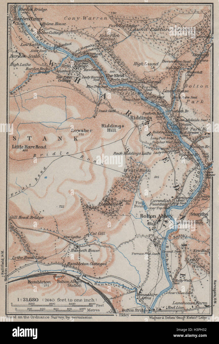 WHARFEDALE Topo-Karte. Bolton Abbey. Yorkshire Dales. BAEDEKER-1927 alt Stockfotohttps://www.alamy.de/image-license-details/?v=1https://www.alamy.de/stockfoto-wharfedale-topo-karte-bolton-abbey-yorkshire-dales-baedeker-1927-alt-122812902.html
RFH3PH32–WHARFEDALE Topo-Karte. Bolton Abbey. Yorkshire Dales. BAEDEKER-1927 alt
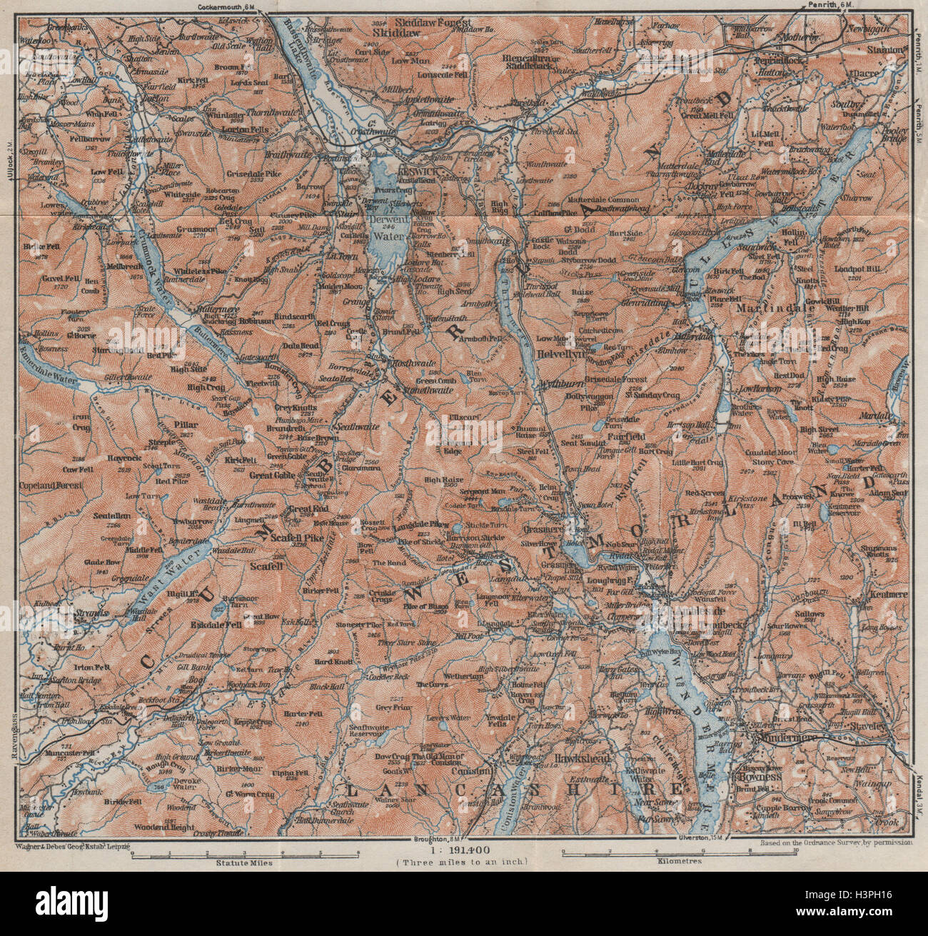 DER LAKE DISTRICT Topo-Karte. Keswick Wimdermere Grasmere Ambleside 1927 alt Stockfotohttps://www.alamy.de/image-license-details/?v=1https://www.alamy.de/stockfoto-der-lake-district-topo-karte-keswick-wimdermere-grasmere-ambleside-1927-alt-122812850.html
RFH3PH16–DER LAKE DISTRICT Topo-Karte. Keswick Wimdermere Grasmere Ambleside 1927 alt
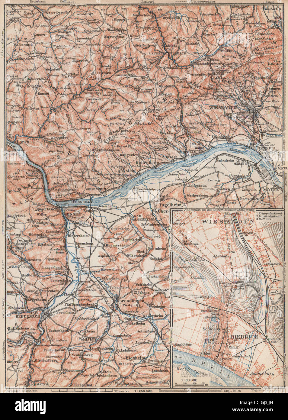 DER RHEINGAU Topo-Karte. Wiesbaden Lorch Rüdesheim Mainz. Deutschland Karte, 1926 Stockfotohttps://www.alamy.de/image-license-details/?v=1https://www.alamy.de/stockfoto-der-rheingau-topo-karte-wiesbaden-lorch-rudesheim-mainz-deutschland-karte-1926-114406505.html
RFGJ3JJH–DER RHEINGAU Topo-Karte. Wiesbaden Lorch Rüdesheim Mainz. Deutschland Karte, 1926
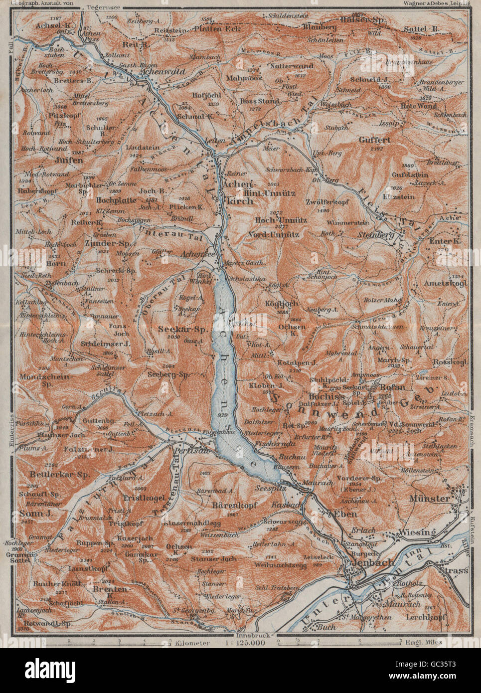 ACHENSEE & Umgebung. Jenbach Achenkirch. Topo-Karte. Österreich Österreich, 1923 Stockfotohttps://www.alamy.de/image-license-details/?v=1https://www.alamy.de/stockfoto-achensee-umgebung-jenbach-achenkirch-topo-karte-osterreich-osterreich-1923-110708531.html
RFGC35T3–ACHENSEE & Umgebung. Jenbach Achenkirch. Topo-Karte. Österreich Österreich, 1923
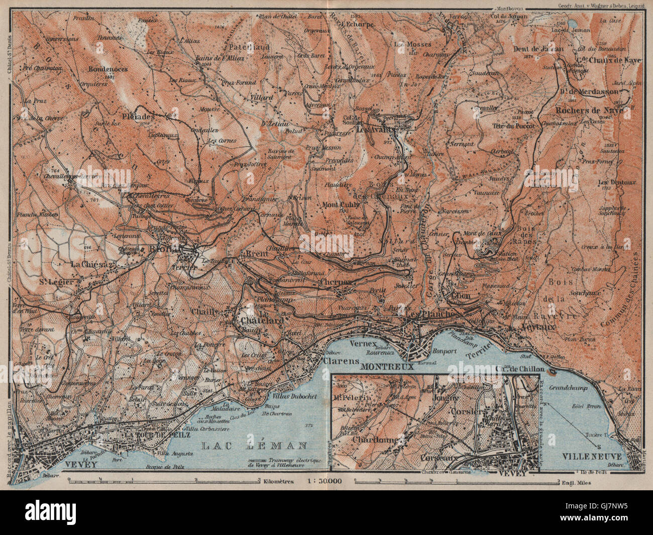 MONTREUX-BEREICH. Vevey Villneuve. Topo-Karte. Schweiz-Suisse-Schweiz, 1922 Stockfotohttps://www.alamy.de/image-license-details/?v=1https://www.alamy.de/stockfoto-montreux-bereich-vevey-villneuve-topo-karte-schweiz-suisse-schweiz-1922-114496849.html
RFGJ7NW5–MONTREUX-BEREICH. Vevey Villneuve. Topo-Karte. Schweiz-Suisse-Schweiz, 1922
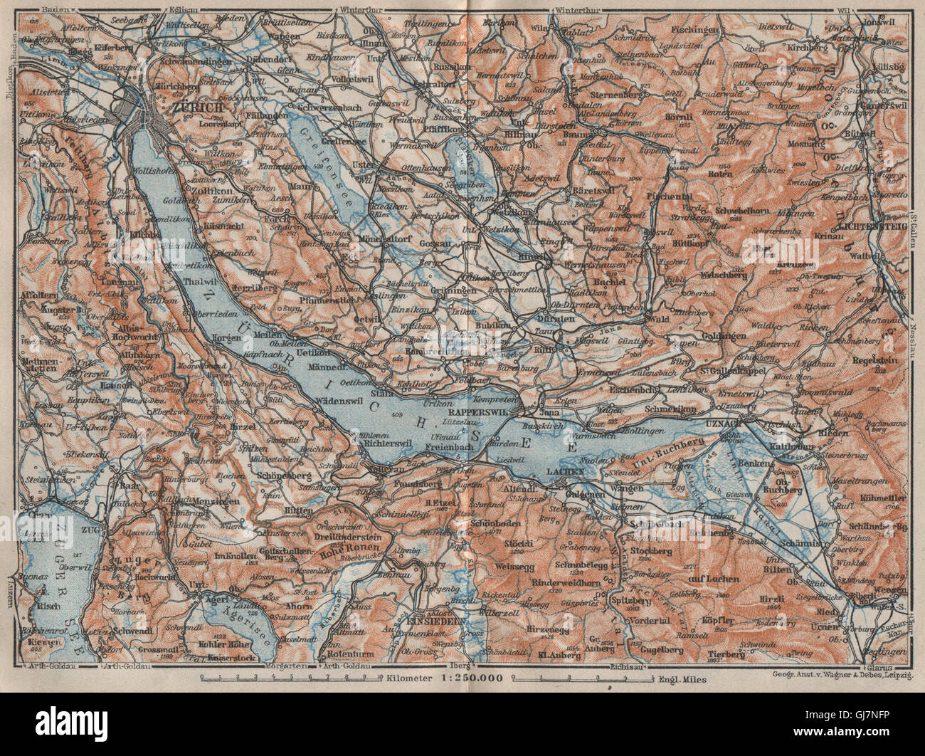 ZÜRICHSEE. Zürcher siehe Lachen Utznach.Topo-Karte. Schweiz Schweiz, 1922 Stockfotohttps://www.alamy.de/image-license-details/?v=1https://www.alamy.de/stockfoto-zurichsee-zurcher-siehe-lachen-utznachtopo-karte-schweiz-schweiz-1922-114496586.html
RFGJ7NFP–ZÜRICHSEE. Zürcher siehe Lachen Utznach.Topo-Karte. Schweiz Schweiz, 1922
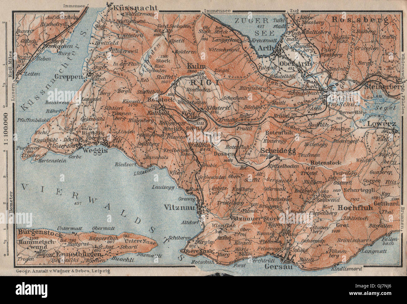 DIE RIGI. Lowerz Arth Gersau Küssnacht. Topo-Karte. Schweiz Schweiz, 1922 Stockfotohttps://www.alamy.de/image-license-details/?v=1https://www.alamy.de/stockfoto-die-rigi-lowerz-arth-gersau-kussnacht-topo-karte-schweiz-schweiz-1922-114496654.html
RFGJ7NJ6–DIE RIGI. Lowerz Arth Gersau Küssnacht. Topo-Karte. Schweiz Schweiz, 1922
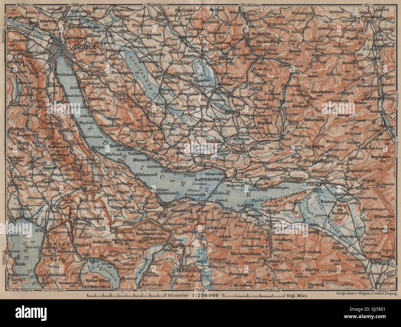 ZÜRICHSEE. Zürcher siehe Lachen Utznach.Topo-Karte. Schweiz Schweiz, 1920 Stockfotohttps://www.alamy.de/image-license-details/?v=1https://www.alamy.de/stockfoto-zurichsee-zurcher-siehe-lachen-utznachtopo-karte-schweiz-schweiz-1920-114485953.html
RFGJ7801–ZÜRICHSEE. Zürcher siehe Lachen Utznach.Topo-Karte. Schweiz Schweiz, 1920
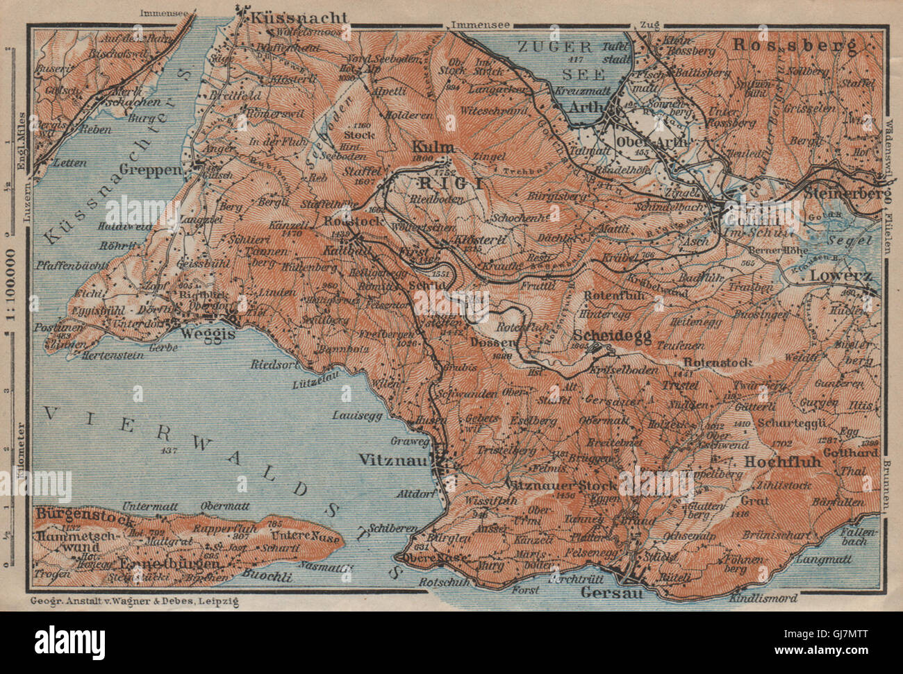 DIE RIGI. Lowerz Arth Gersau Küssnacht. Topo-Karte. Schweiz Schweiz, 1920 Stockfotohttps://www.alamy.de/image-license-details/?v=1https://www.alamy.de/stockfoto-die-rigi-lowerz-arth-gersau-kussnacht-topo-karte-schweiz-schweiz-1920-114496056.html
RFGJ7MTT–DIE RIGI. Lowerz Arth Gersau Küssnacht. Topo-Karte. Schweiz Schweiz, 1920
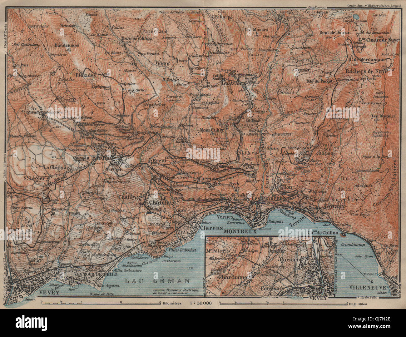 MONTREUX-BEREICH. Vevey Villneuve. Topo-Karte. Schweiz-Suisse-Schweiz, 1920 Stockfotohttps://www.alamy.de/image-license-details/?v=1https://www.alamy.de/stockfoto-montreux-bereich-vevey-villneuve-topo-karte-schweiz-suisse-schweiz-1920-114496214.html
RFGJ7N2E–MONTREUX-BEREICH. Vevey Villneuve. Topo-Karte. Schweiz-Suisse-Schweiz, 1920
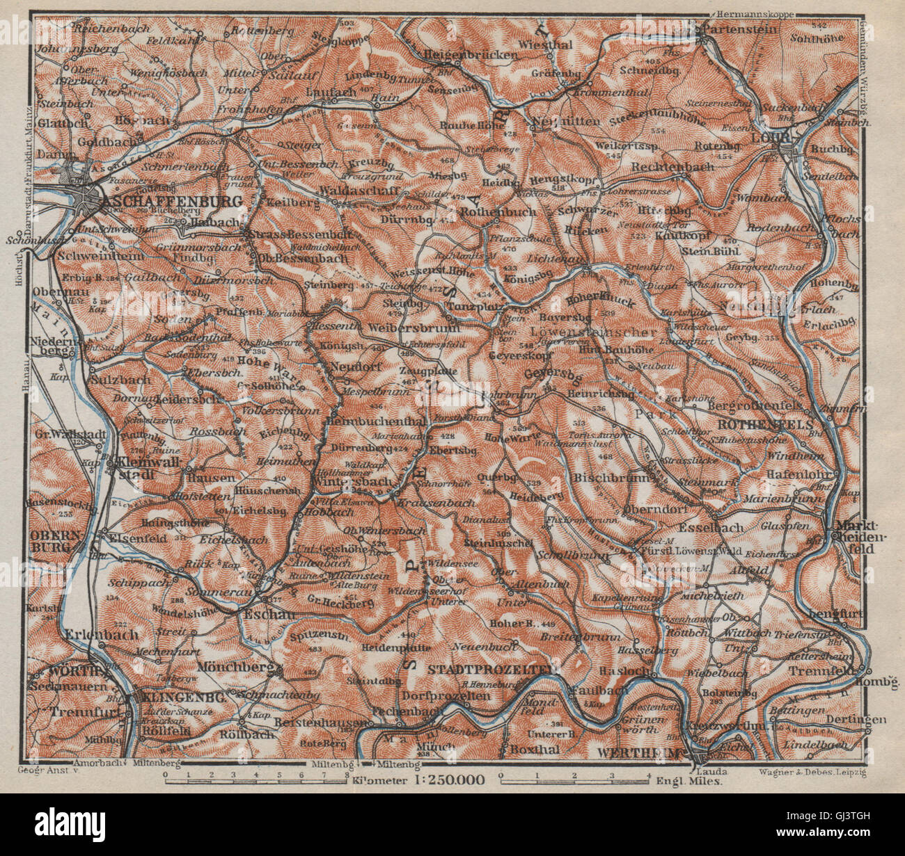 SPESSART Topo-Karte. Aschaffenburg-Lohr am Main Zertheim Geiersberg, 1914 Stockfotohttps://www.alamy.de/image-license-details/?v=1https://www.alamy.de/stockfoto-spessart-topo-karte-aschaffenburg-lohr-am-main-zertheim-geiersberg-1914-114411153.html
RFGJ3TGH–SPESSART Topo-Karte. Aschaffenburg-Lohr am Main Zertheim Geiersberg, 1914
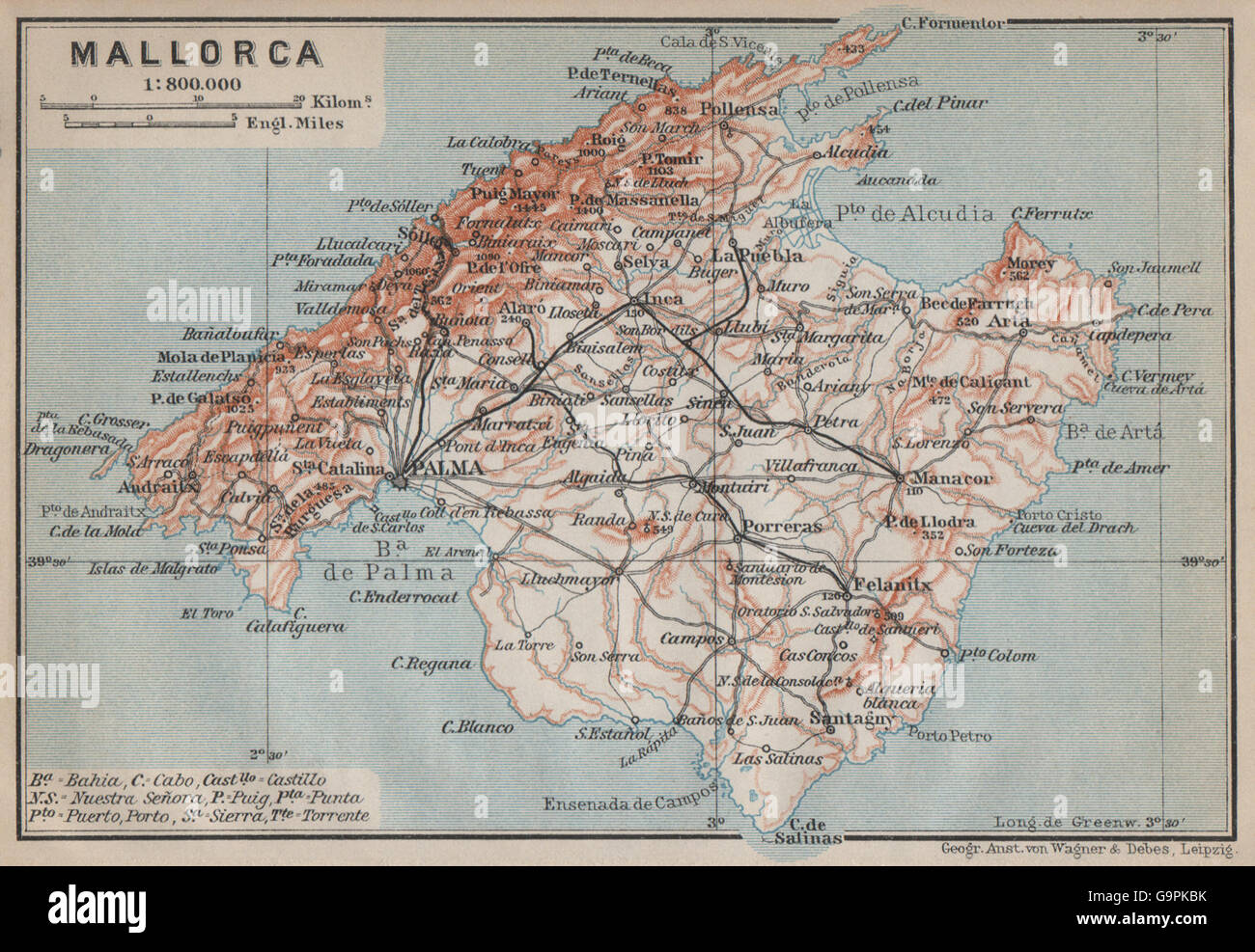 Insel Mallorca MALLORCA Topo-Karte. Spanien España Mapa. BAEDEKER, 1913 Stockfotohttps://www.alamy.de/image-license-details/?v=1https://www.alamy.de/stockfoto-insel-mallorca-mallorca-topo-karte-spanien-espaa-mapa-baedeker-1913-109292279.html
RFG9PKBK–Insel Mallorca MALLORCA Topo-Karte. Spanien España Mapa. BAEDEKER, 1913
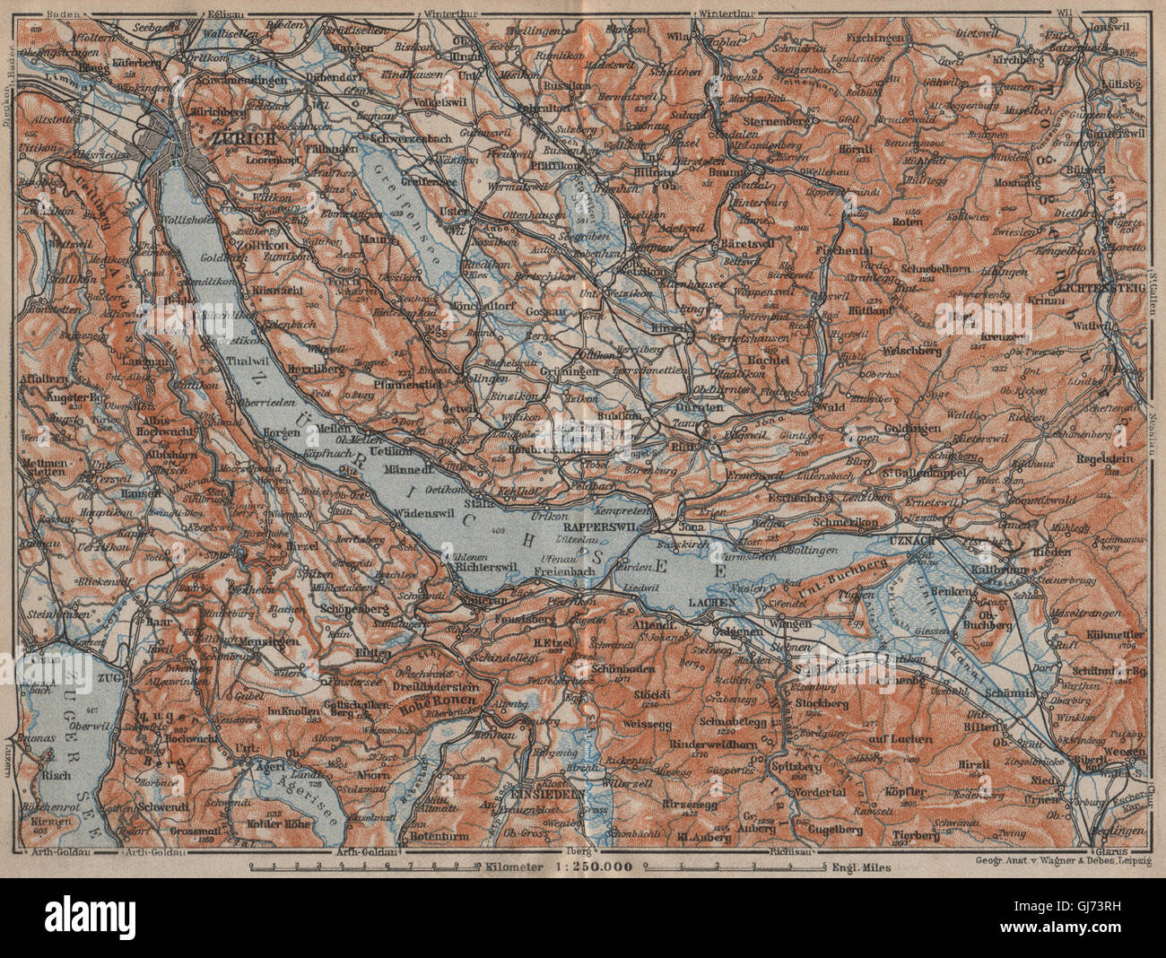 ZÜRICHSEE. Zürcher siehe Lachen Utznach.Topo-Karte. Schweiz Schweiz, 1913 Stockfotohttps://www.alamy.de/image-license-details/?v=1https://www.alamy.de/stockfoto-zurichsee-zurcher-siehe-lachen-utznachtopo-karte-schweiz-schweiz-1913-114482693.html
RFGJ73RH–ZÜRICHSEE. Zürcher siehe Lachen Utznach.Topo-Karte. Schweiz Schweiz, 1913
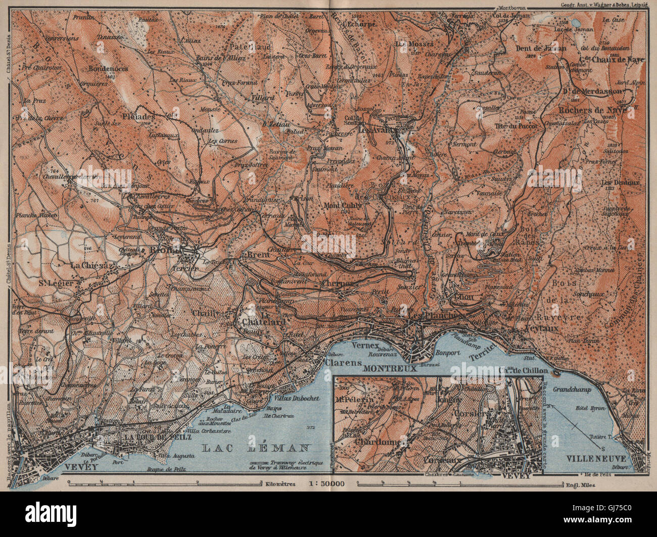 MONTREUX-BEREICH. Vevey Villneuve. Topo-Karte. Schweiz-Suisse-Schweiz, 1913 Stockfotohttps://www.alamy.de/image-license-details/?v=1https://www.alamy.de/stockfoto-montreux-bereich-vevey-villneuve-topo-karte-schweiz-suisse-schweiz-1913-114483936.html
RFGJ75C0–MONTREUX-BEREICH. Vevey Villneuve. Topo-Karte. Schweiz-Suisse-Schweiz, 1913
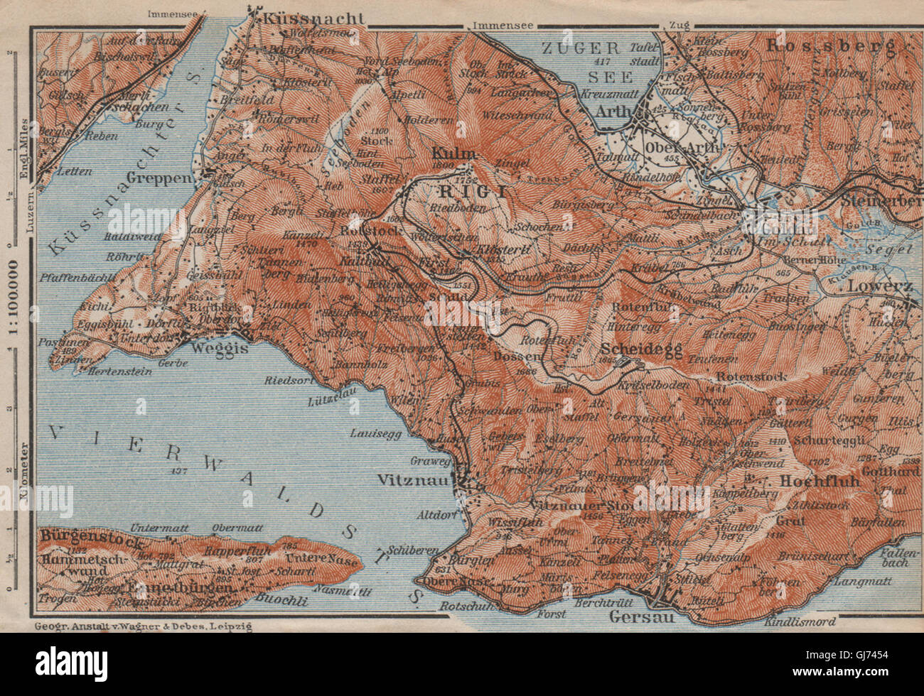 DIE RIGI. Lowerz Arth Gersau Küssnacht. Topo-Karte. Schweiz Schweiz, 1913 Stockfotohttps://www.alamy.de/image-license-details/?v=1https://www.alamy.de/stockfoto-die-rigi-lowerz-arth-gersau-kussnacht-topo-karte-schweiz-schweiz-1913-114482960.html
RFGJ7454–DIE RIGI. Lowerz Arth Gersau Küssnacht. Topo-Karte. Schweiz Schweiz, 1913
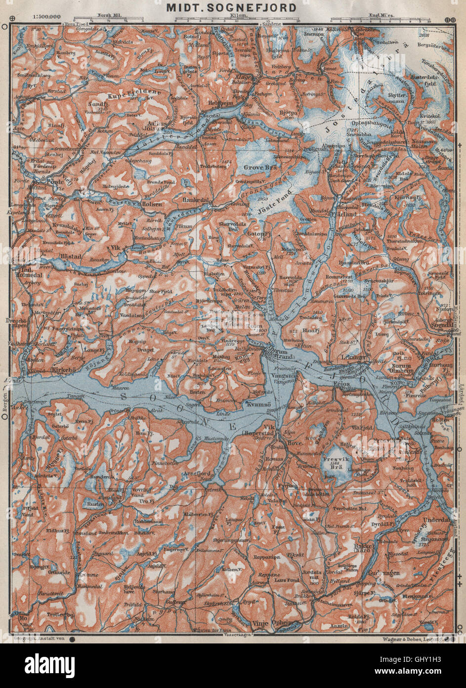 ZENTRALEN SOGNEFJORD Topo-Karte. Leikanger Sogndal. Norwegen-Kart. BAEDEKER, 1912 Stockfotohttps://www.alamy.de/image-license-details/?v=1https://www.alamy.de/stockfoto-zentralen-sognefjord-topo-karte-leikanger-sogndal-norwegen-kart-baedeker-1912-114305327.html
RFGHY1H3–ZENTRALEN SOGNEFJORD Topo-Karte. Leikanger Sogndal. Norwegen-Kart. BAEDEKER, 1912
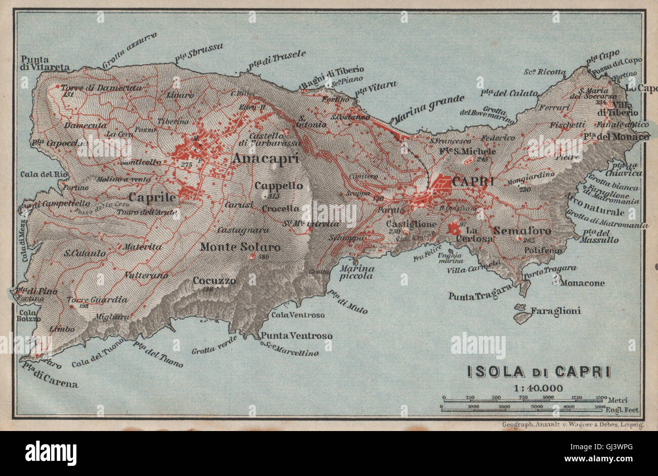 ISOLA DI CAPRI Topo-Karte. Anacapri. Italien-Mappa. BAEDEKER, 1912 Stockfotohttps://www.alamy.de/image-license-details/?v=1https://www.alamy.de/stockfoto-isola-di-capri-topo-karte-anacapri-italien-mappa-baedeker-1912-114412104.html
RFGJ3WPG–ISOLA DI CAPRI Topo-Karte. Anacapri. Italien-Mappa. BAEDEKER, 1912
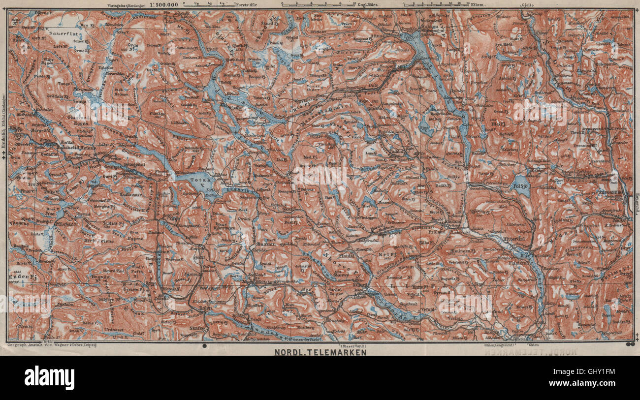 Nord TELEMARKEN Topo-Karte. Kongsberg Dalen Bakken. Norwegen-Kart, 1912 Stockfotohttps://www.alamy.de/image-license-details/?v=1https://www.alamy.de/stockfoto-nord-telemarken-topo-karte-kongsberg-dalen-bakken-norwegen-kart-1912-114305288.html
RFGHY1FM–Nord TELEMARKEN Topo-Karte. Kongsberg Dalen Bakken. Norwegen-Kart, 1912
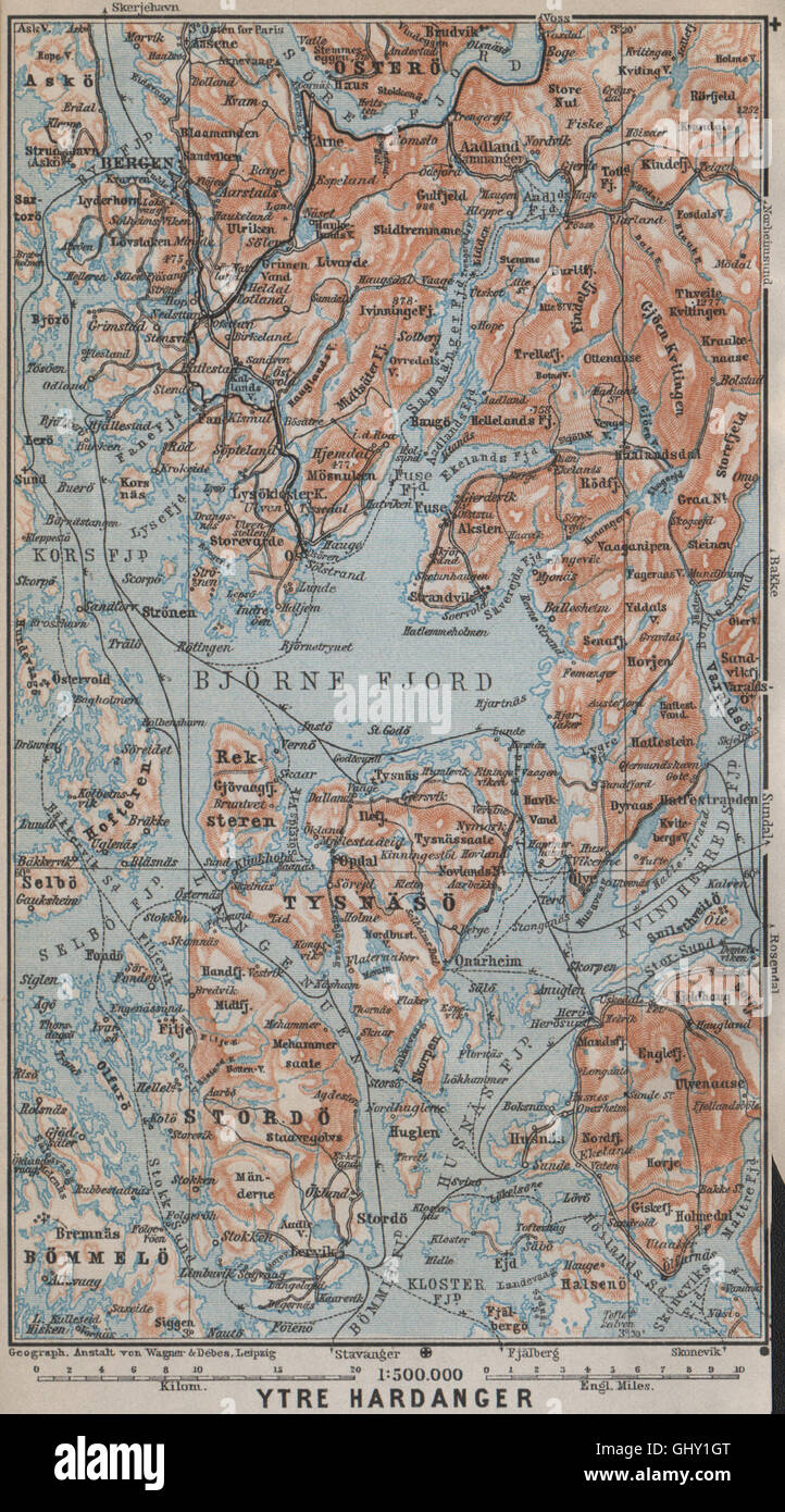 ÄUßEREN HARDANGERFJORD Topo-Karte. Bergen Stordo. Norwegen-Kart. BAEDEKER, 1912 Stockfotohttps://www.alamy.de/image-license-details/?v=1https://www.alamy.de/stockfoto-ausseren-hardangerfjord-topo-karte-bergen-stordo-norwegen-kart-baedeker-1912-114305320.html
RFGHY1GT–ÄUßEREN HARDANGERFJORD Topo-Karte. Bergen Stordo. Norwegen-Kart. BAEDEKER, 1912
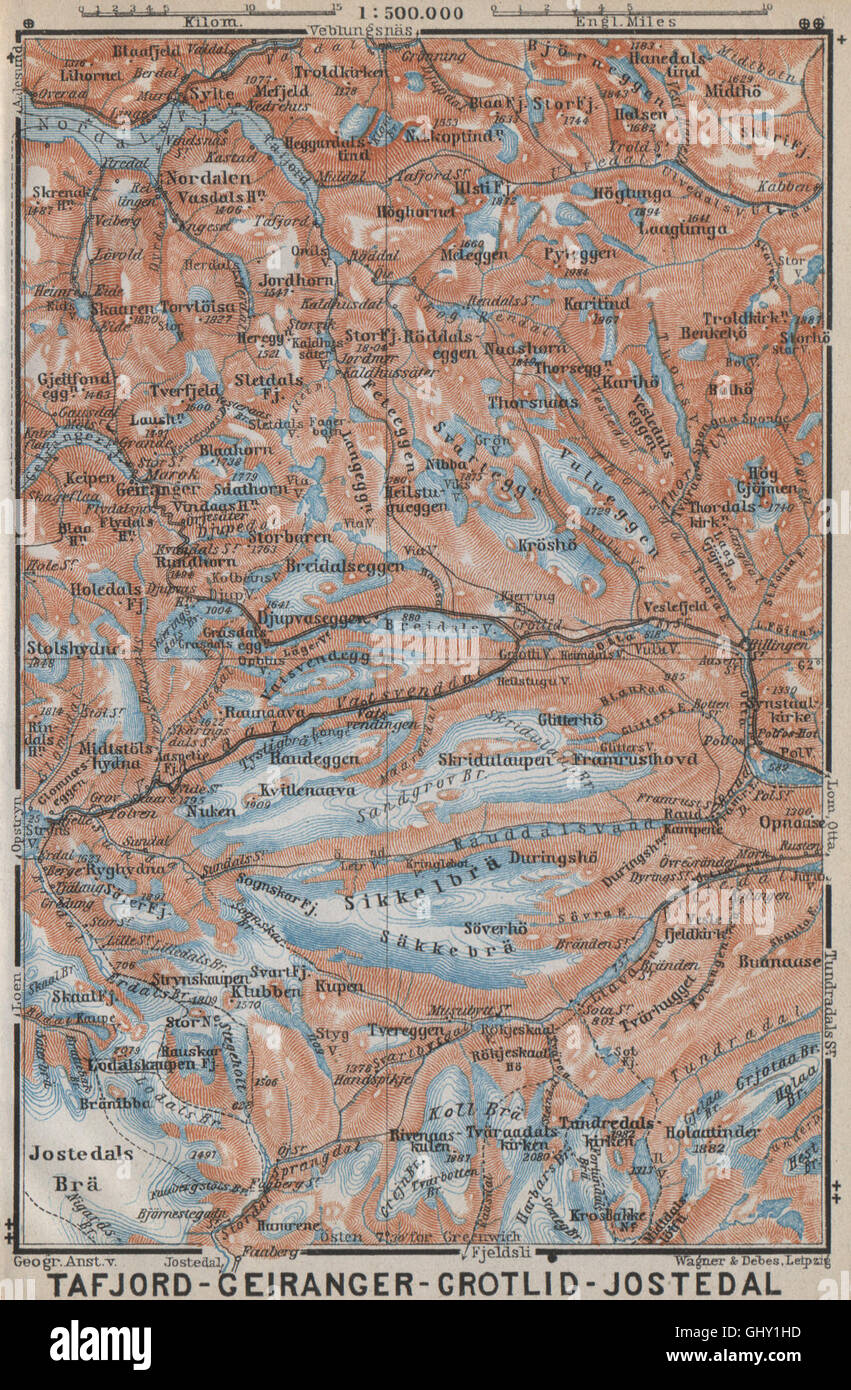 Geiranger Polfos Tafjord Jostedal Grotli Topo-Karte. Norwegen-Kart, 1912 Stockfotohttps://www.alamy.de/image-license-details/?v=1https://www.alamy.de/stockfoto-geiranger-polfos-tafjord-jostedal-grotli-topo-karte-norwegen-kart-1912-114305337.html
RFGHY1HD–Geiranger Polfos Tafjord Jostedal Grotli Topo-Karte. Norwegen-Kart, 1912
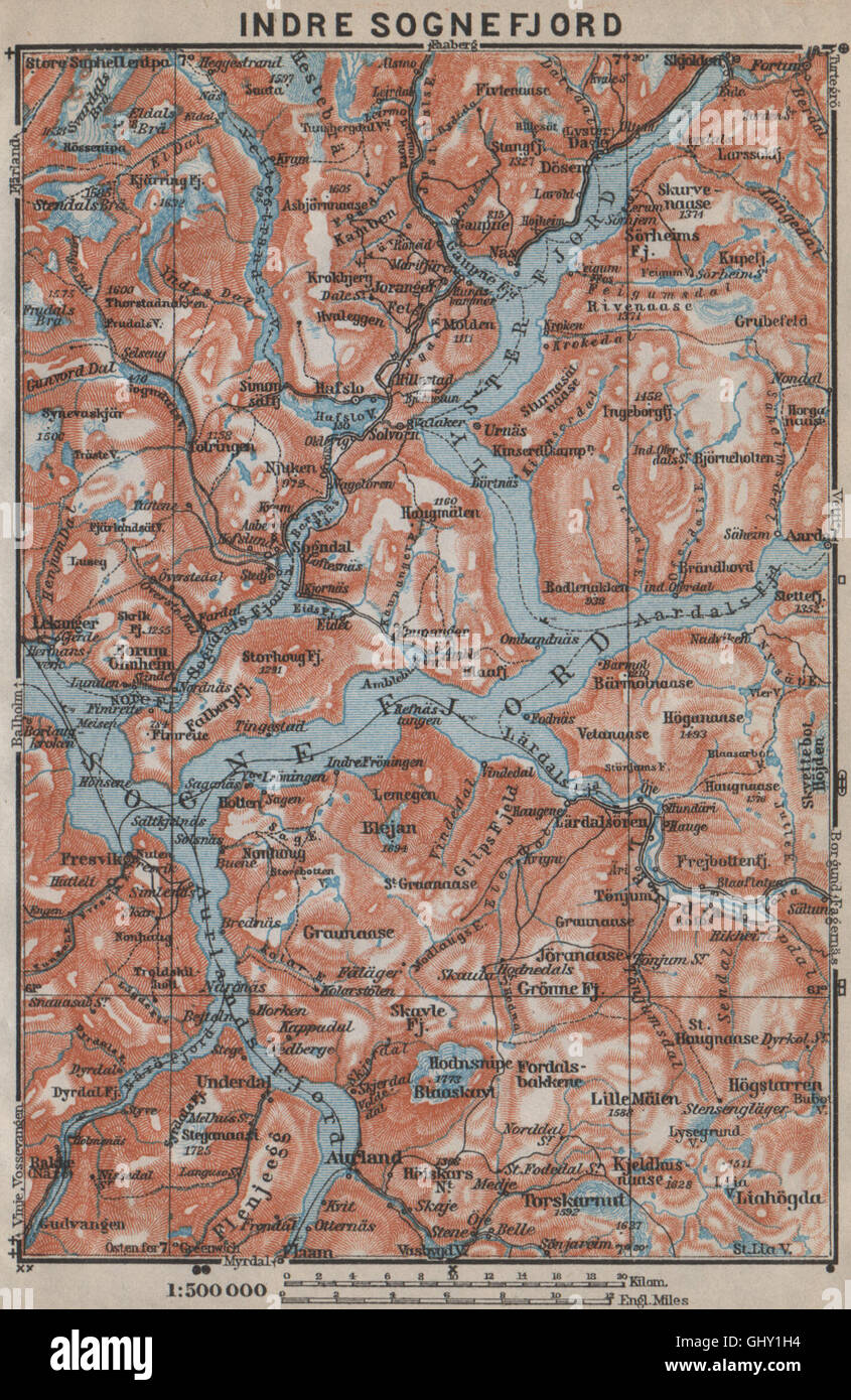 INNEREN SOGNEFJORD Topo-Karte. Gaupne Glanz Ardalstangen. Norwegen-Kart, 1912 Stockfotohttps://www.alamy.de/image-license-details/?v=1https://www.alamy.de/stockfoto-inneren-sognefjord-topo-karte-gaupne-glanz-ardalstangen-norwegen-kart-1912-114305328.html
RFGHY1H4–INNEREN SOGNEFJORD Topo-Karte. Gaupne Glanz Ardalstangen. Norwegen-Kart, 1912
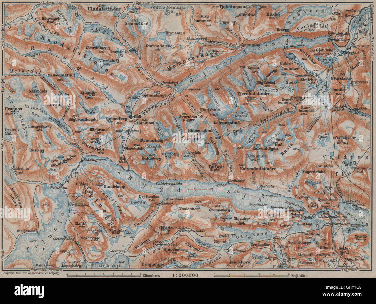 Seen, BYGDIN und GJENDE Topo-Karte. Jotunheimen. Norwegen-Kart. BAEDEKER, 1912 Stockfotohttps://www.alamy.de/image-license-details/?v=1https://www.alamy.de/stockfoto-seen-bygdin-und-gjende-topo-karte-jotunheimen-norwegen-kart-baedeker-1912-114305304.html
RFGHY1G8–Seen, BYGDIN und GJENDE Topo-Karte. Jotunheimen. Norwegen-Kart. BAEDEKER, 1912
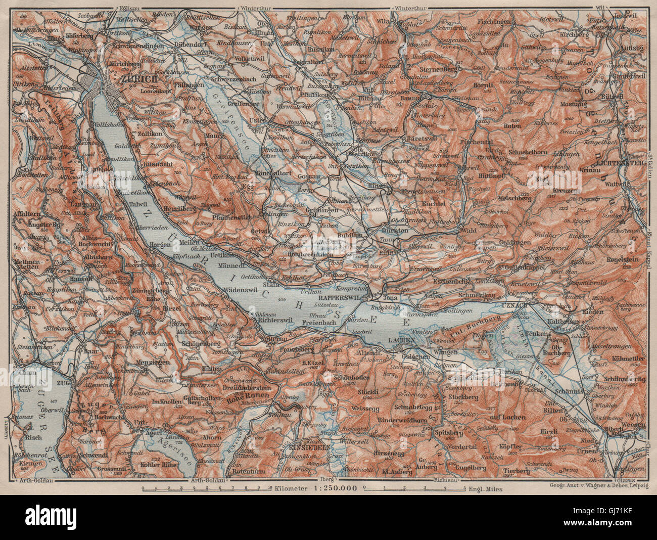 ZÜRICHSEE. Zürcher siehe Lachen Utznach.Topo-Karte. Schweiz Schweiz, 1911 Stockfotohttps://www.alamy.de/image-license-details/?v=1https://www.alamy.de/stockfoto-zurichsee-zurcher-siehe-lachen-utznachtopo-karte-schweiz-schweiz-1911-114481011.html
RFGJ71KF–ZÜRICHSEE. Zürcher siehe Lachen Utznach.Topo-Karte. Schweiz Schweiz, 1911
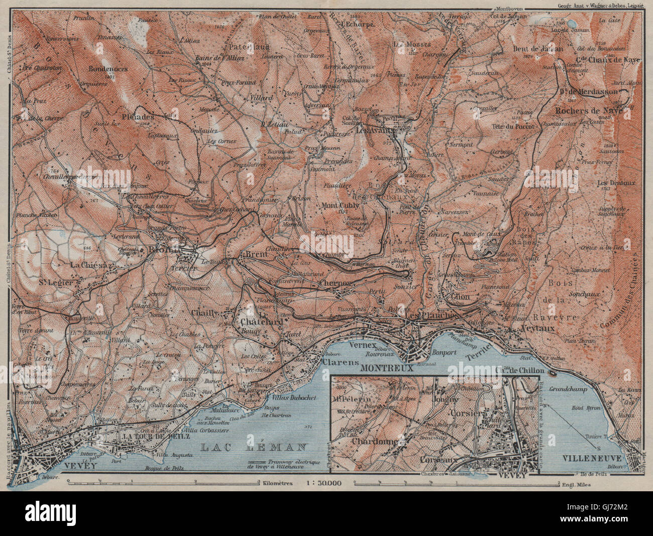 MONTREUX-BEREICH. Vevey Villneuve. Topo-Karte. Schweiz-Suisse-Schweiz, 1911 Stockfotohttps://www.alamy.de/image-license-details/?v=1https://www.alamy.de/stockfoto-montreux-bereich-vevey-villneuve-topo-karte-schweiz-suisse-schweiz-1911-114481810.html
RFGJ72M2–MONTREUX-BEREICH. Vevey Villneuve. Topo-Karte. Schweiz-Suisse-Schweiz, 1911
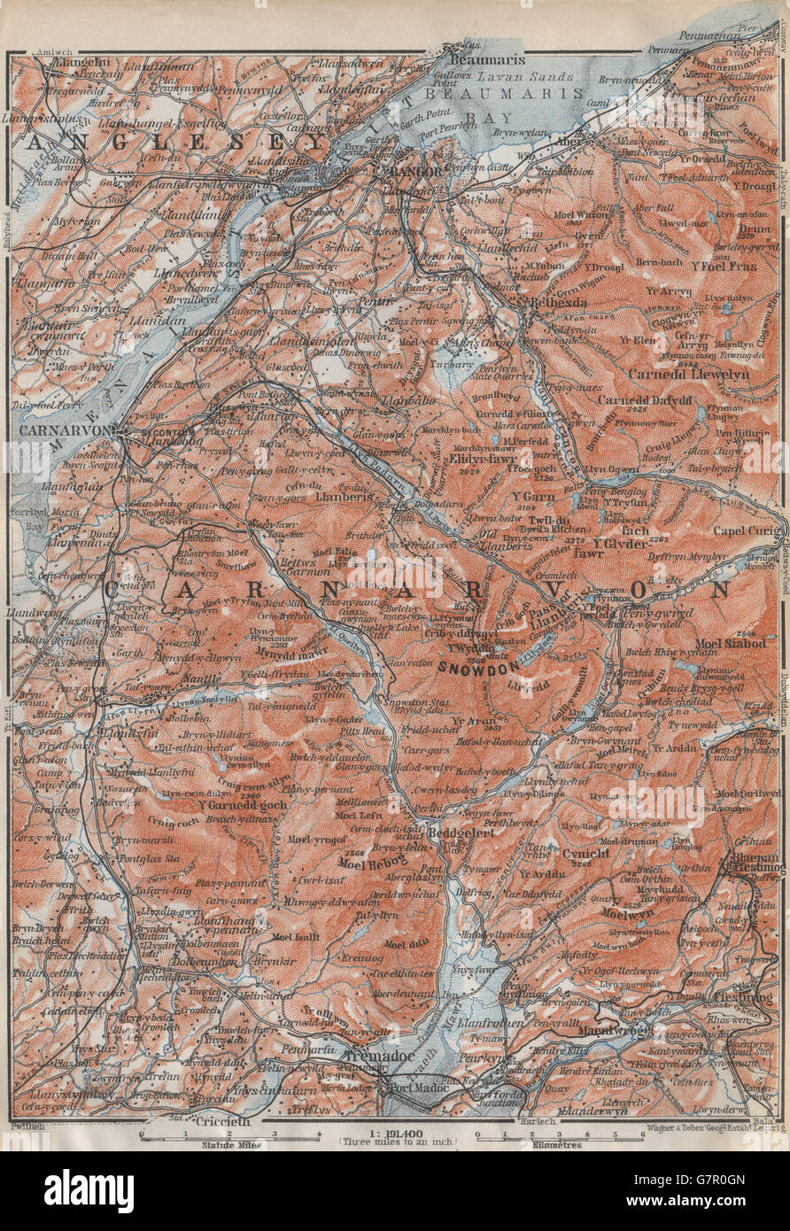 SNOWDONIA Topo-Karte. Caernarfon Bangor Menai Straits. Tremadoc. Wales, 1910 Stockfotohttps://www.alamy.de/image-license-details/?v=1https://www.alamy.de/stockfoto-snowdonia-topo-karte-caernarfon-bangor-menai-straits-tremadoc-wales-1910-108070165.html
RFG7R0GN–SNOWDONIA Topo-Karte. Caernarfon Bangor Menai Straits. Tremadoc. Wales, 1910
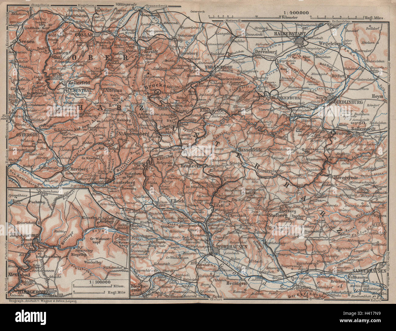 HARZ MOUNTAINS Topo-Karte. Harzgerode. Halberstadt Nordhausen Karte 1910 alt Stockfotohttps://www.alamy.de/image-license-details/?v=1https://www.alamy.de/stockfoto-harz-mountains-topo-karte-harzgerode-halberstadt-nordhausen-karte-1910-alt-122959237.html
RFH417N9–HARZ MOUNTAINS Topo-Karte. Harzgerode. Halberstadt Nordhausen Karte 1910 alt
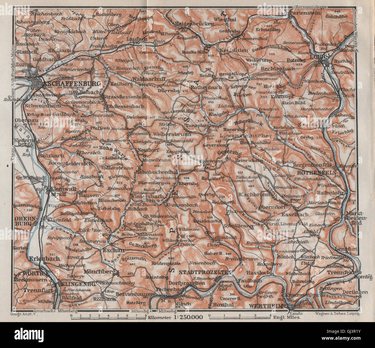 SPESSART Topo-Karte. Aschaffenburg-Lohr am Main Zertheim Geiersberg, 1910 Stockfotohttps://www.alamy.de/image-license-details/?v=1https://www.alamy.de/stockfoto-spessart-topo-karte-aschaffenburg-lohr-am-main-zertheim-geiersberg-1910-114409959.html
RFGJ3R1Y–SPESSART Topo-Karte. Aschaffenburg-Lohr am Main Zertheim Geiersberg, 1910
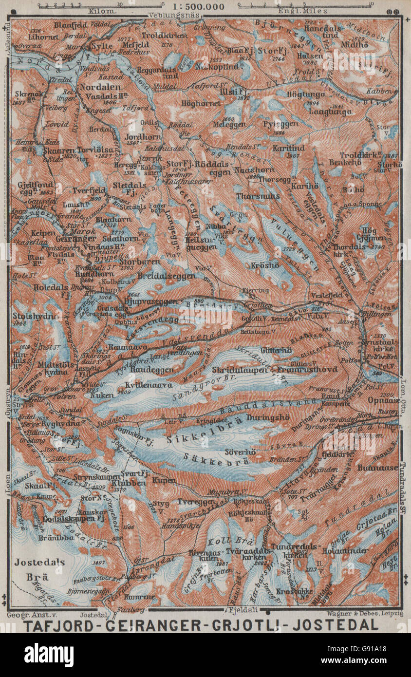 Geiranger Polfos Tafjord Jostedal Grotli Topo-Karte. Norwegen-Kart, 1909 Stockfotohttps://www.alamy.de/image-license-details/?v=1https://www.alamy.de/stockfoto-geiranger-polfos-tafjord-jostedal-grotli-topo-karte-norwegen-kart-1909-108823940.html
RFG91A18–Geiranger Polfos Tafjord Jostedal Grotli Topo-Karte. Norwegen-Kart, 1909
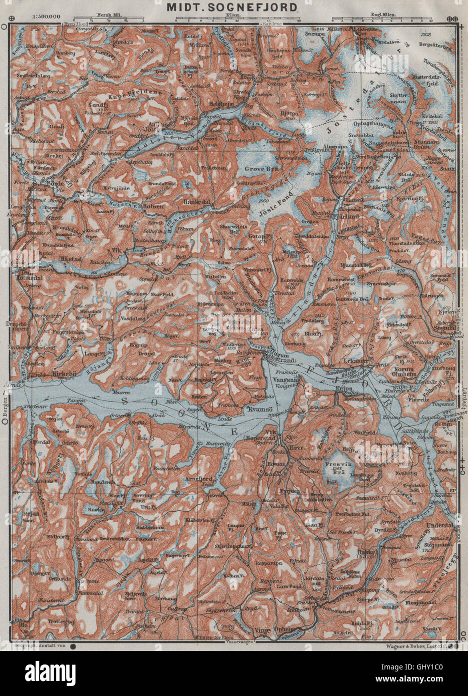 ZENTRALEN SOGNEFJORD Topo-Karte. Leikanger Sogndal. Norwegen-Kart. BAEDEKER, 1909 Stockfotohttps://www.alamy.de/image-license-details/?v=1https://www.alamy.de/stockfoto-zentralen-sognefjord-topo-karte-leikanger-sogndal-norwegen-kart-baedeker-1909-114305184.html
RFGHY1C0–ZENTRALEN SOGNEFJORD Topo-Karte. Leikanger Sogndal. Norwegen-Kart. BAEDEKER, 1909
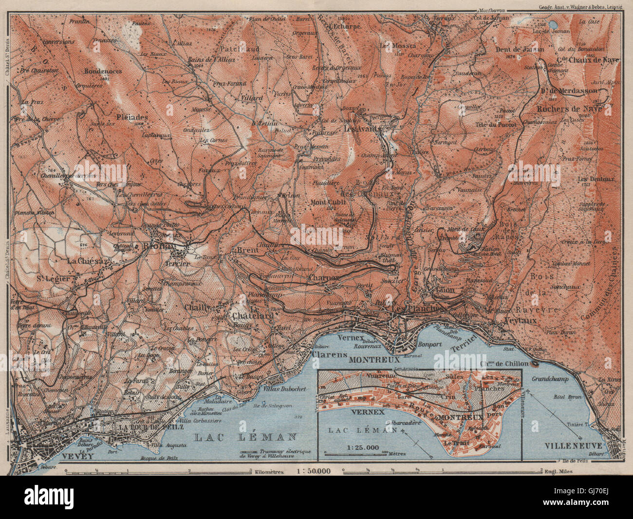 MONTREUX-BEREICH. Vevey Villneuve. Topo-Karte. Schweiz-Suisse-Schweiz, 1909 Stockfotohttps://www.alamy.de/image-license-details/?v=1https://www.alamy.de/stockfoto-montreux-bereich-vevey-villneuve-topo-karte-schweiz-suisse-schweiz-1909-114480090.html
RFGJ70EJ–MONTREUX-BEREICH. Vevey Villneuve. Topo-Karte. Schweiz-Suisse-Schweiz, 1909
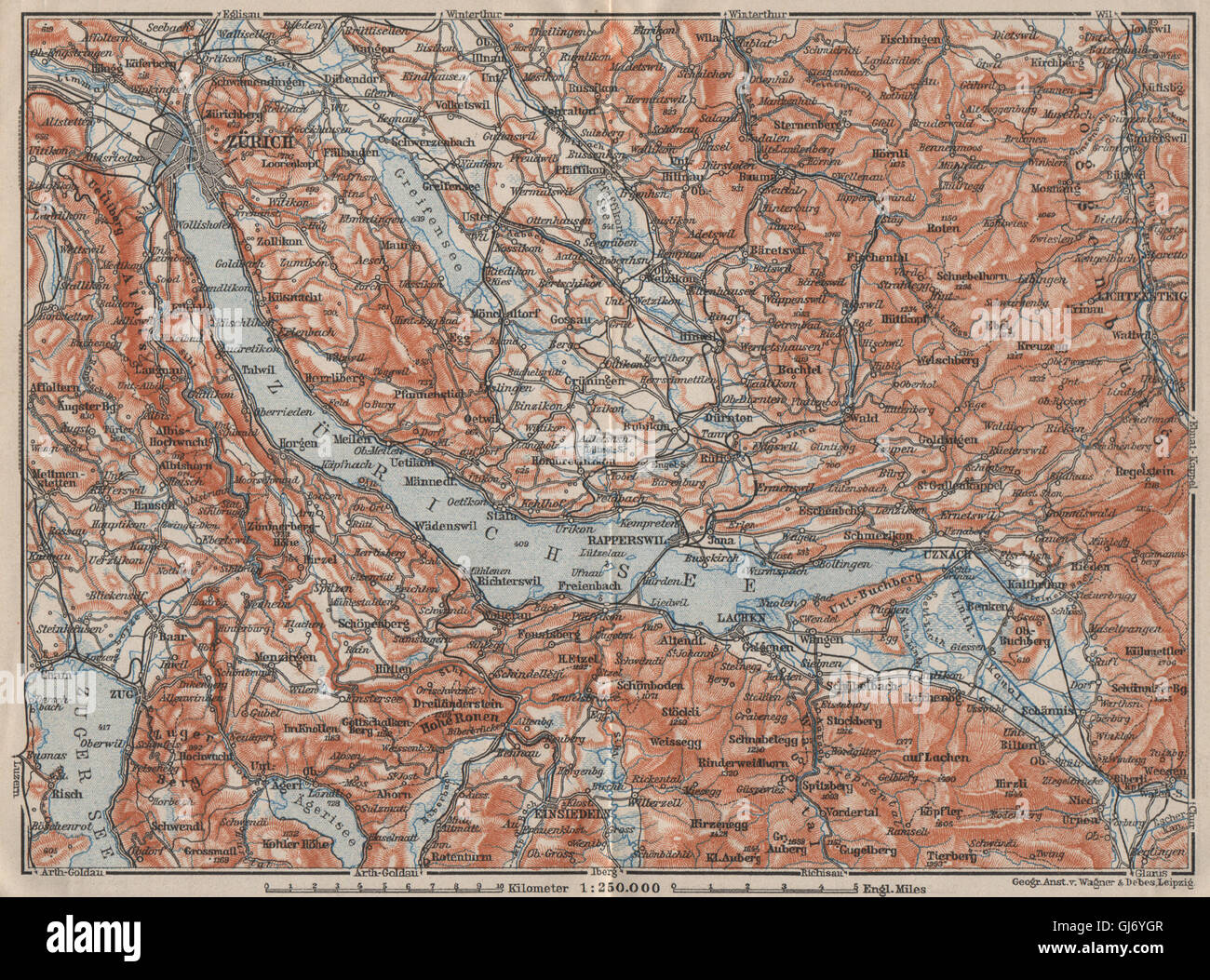 ZÜRICHSEE. Zürcher siehe Lachen Utznach.Topo-Karte. Schweiz Schweiz, 1909 Stockfotohttps://www.alamy.de/image-license-details/?v=1https://www.alamy.de/stockfoto-zurichsee-zurcher-siehe-lachen-utznachtopo-karte-schweiz-schweiz-1909-114479367.html
RFGJ6YGR–ZÜRICHSEE. Zürcher siehe Lachen Utznach.Topo-Karte. Schweiz Schweiz, 1909
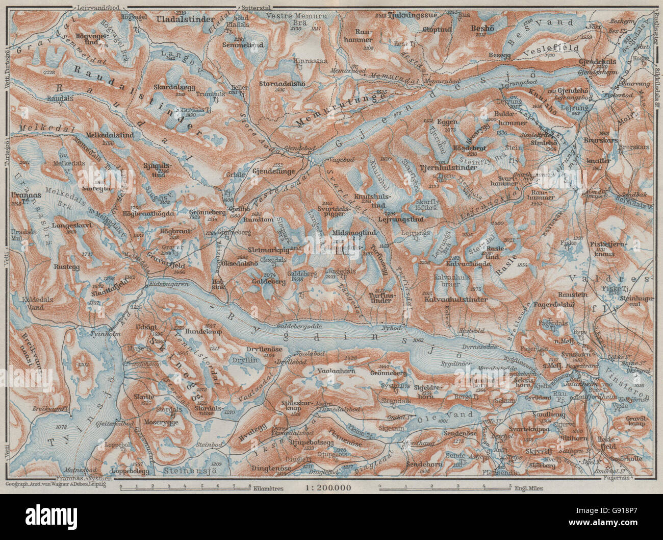 Seen, BYGDIN und GJENDE Topo-Karte. Jotunheimen. Norwegen-Kart. BAEDEKER, 1909 Stockfotohttps://www.alamy.de/image-license-details/?v=1https://www.alamy.de/stockfoto-seen-bygdin-und-gjende-topo-karte-jotunheimen-norwegen-kart-baedeker-1909-108822959.html
RFG918P7–Seen, BYGDIN und GJENDE Topo-Karte. Jotunheimen. Norwegen-Kart. BAEDEKER, 1909
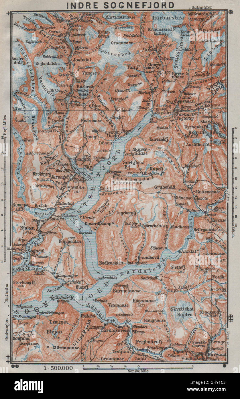 INNEREN SOGNEFJORD Topo-Karte. Gaupne Glanz Ardalstangen. Norwegen-Kart, 1909 Stockfotohttps://www.alamy.de/image-license-details/?v=1https://www.alamy.de/stockfoto-inneren-sognefjord-topo-karte-gaupne-glanz-ardalstangen-norwegen-kart-1909-114305187.html
RFGHY1C3–INNEREN SOGNEFJORD Topo-Karte. Gaupne Glanz Ardalstangen. Norwegen-Kart, 1909
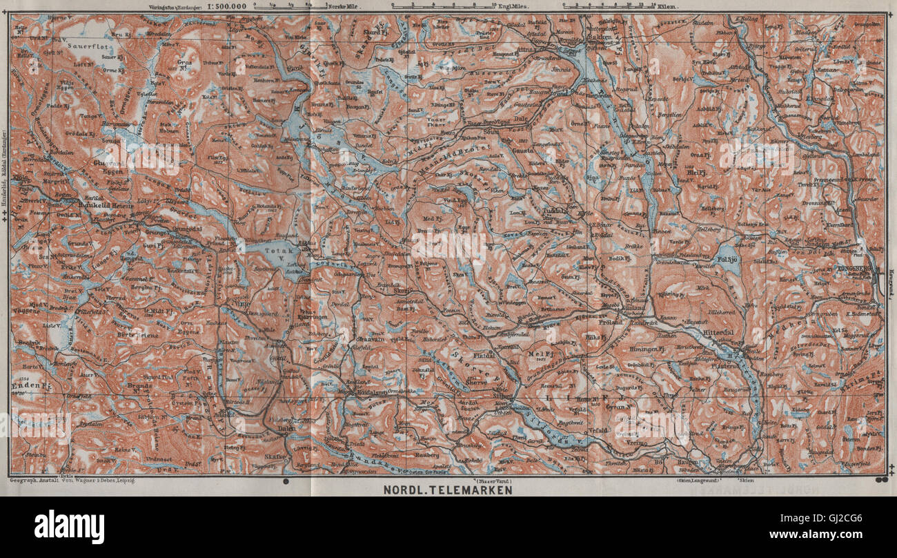 Nord TELEMARKEN Topo-Karte. Kongsberg Dalen Bakken. Norwegen-Kart, 1909 Stockfotohttps://www.alamy.de/image-license-details/?v=1https://www.alamy.de/stockfoto-nord-telemarken-topo-karte-kongsberg-dalen-bakken-norwegen-kart-1909-114379782.html
RFGJ2CG6–Nord TELEMARKEN Topo-Karte. Kongsberg Dalen Bakken. Norwegen-Kart, 1909
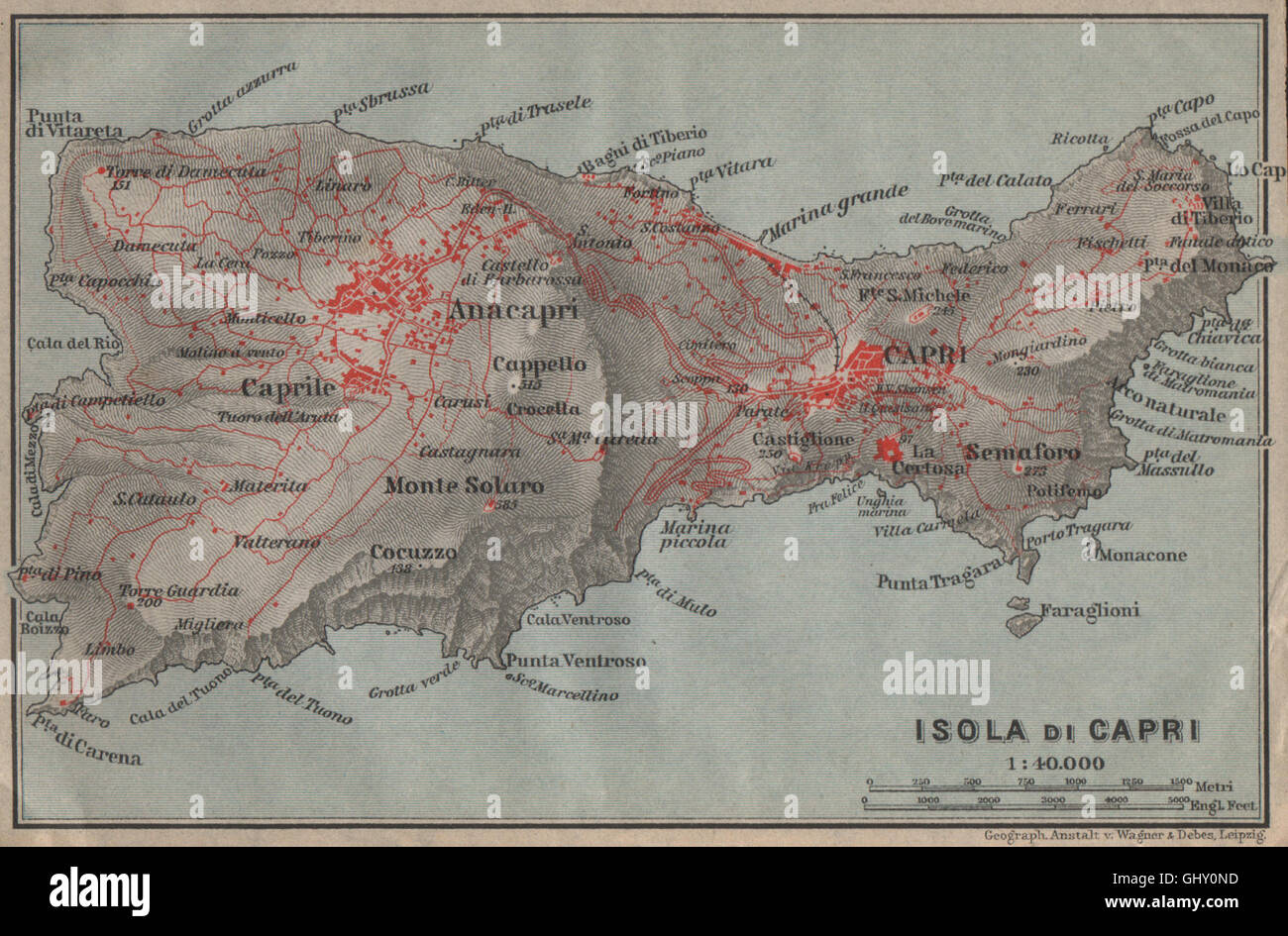 ISOLA DI CAPRI Topo-Karte. Anacapri. Italien-Mappa. BAEDEKER, 1909 Stockfotohttps://www.alamy.de/image-license-details/?v=1https://www.alamy.de/stockfoto-isola-di-capri-topo-karte-anacapri-italien-mappa-baedeker-1909-114304665.html
RFGHY0ND–ISOLA DI CAPRI Topo-Karte. Anacapri. Italien-Mappa. BAEDEKER, 1909
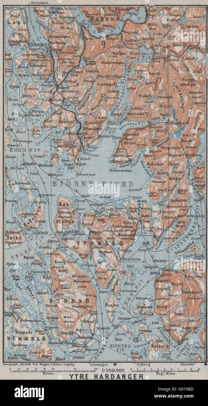 ÄUßEREN HARDANGERFJORD Topo-Karte. Bergen Stordo. Norwegen-Kart. BAEDEKER, 1909 Stockfotohttps://www.alamy.de/image-license-details/?v=1https://www.alamy.de/stockfoto-ausseren-hardangerfjord-topo-karte-bergen-stordo-norwegen-kart-baedeker-1909-108823357.html
RFG9198D–ÄUßEREN HARDANGERFJORD Topo-Karte. Bergen Stordo. Norwegen-Kart. BAEDEKER, 1909
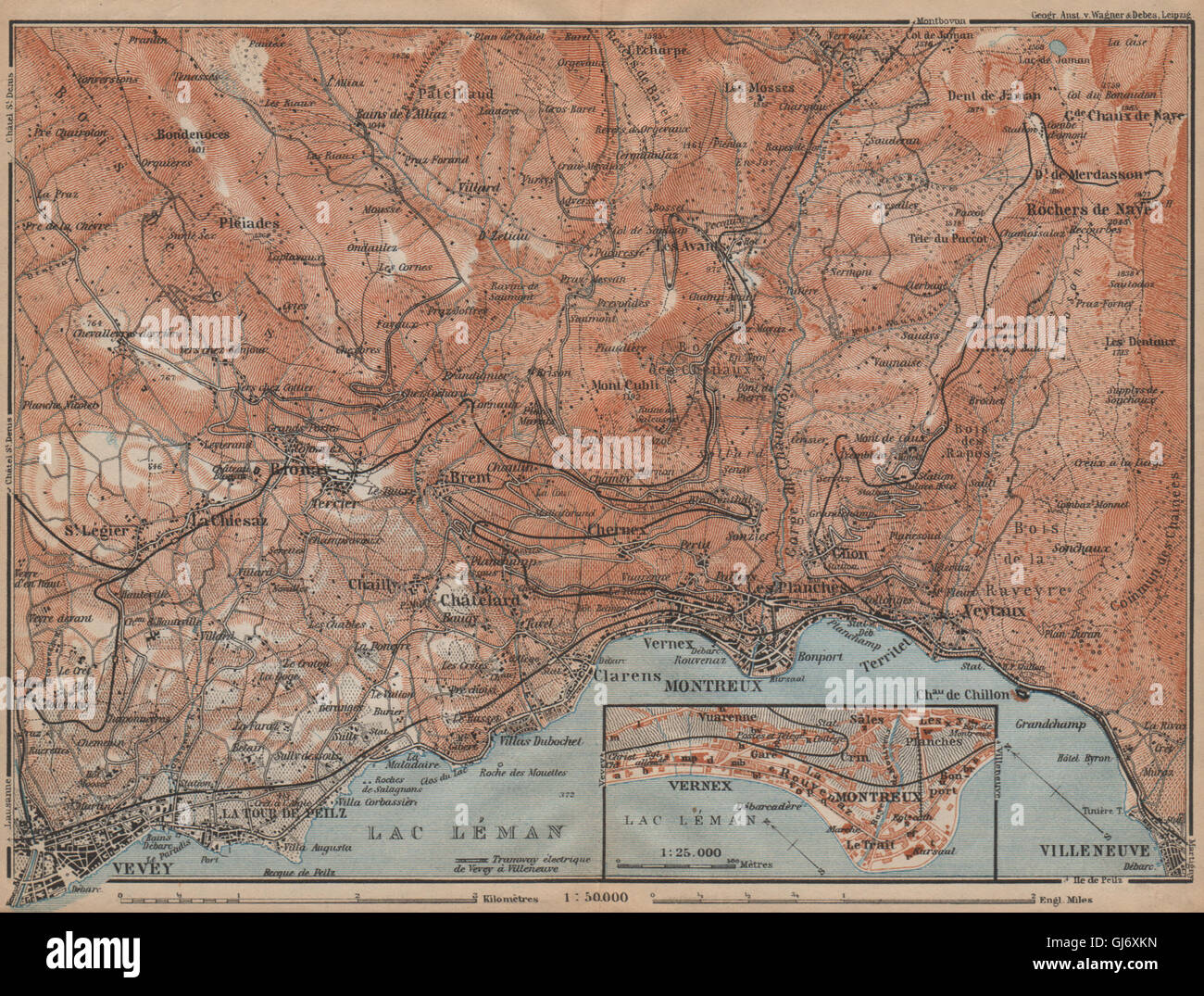 MONTREUX-BEREICH. Vevey Villneuve. Topo-Karte. Schweiz-Suisse-Schweiz, 1907 Stockfotohttps://www.alamy.de/image-license-details/?v=1https://www.alamy.de/stockfoto-montreux-bereich-vevey-villneuve-topo-karte-schweiz-suisse-schweiz-1907-114478665.html
RFGJ6XKN–MONTREUX-BEREICH. Vevey Villneuve. Topo-Karte. Schweiz-Suisse-Schweiz, 1907