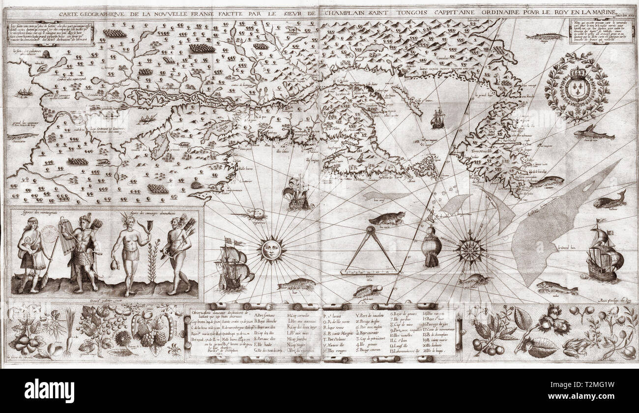
Samuel de Champlain geographische Karte von Neu Frankreich, ca. 1612
RMID:Bild-ID:T2MG1W
Bilddetails
Bildanbieter:
Niday Picture Library / Alamy Stock FotoBild-ID:
T2MG1WDateigröße:
10,2 MB (1,1 MB Komprimierter Download)Freigaben (Releases):
Model - nein | Eigentum - neinBenötige ich eine Freigabe?Format:
2491 x 1438 px | 21,1 x 12,2 cm | 8,3 x 4,8 inches | 300dpiAufnahmedatum:
3. April 2019Weitere Informationen:
Dieses Bild kann kleinere Mängel aufweisen, da es sich um ein historisches Bild oder ein Reportagebild handel