2700 x 1774 px | 22,9 x 15 cm | 9 x 5,9 inches | 300dpi
Aufnahmedatum:
1943
Ort:
Devon
Weitere Informationen:
Dieses Bild kann kleinere Mängel aufweisen, da es sich um ein historisches Bild oder ein Reportagebild handel
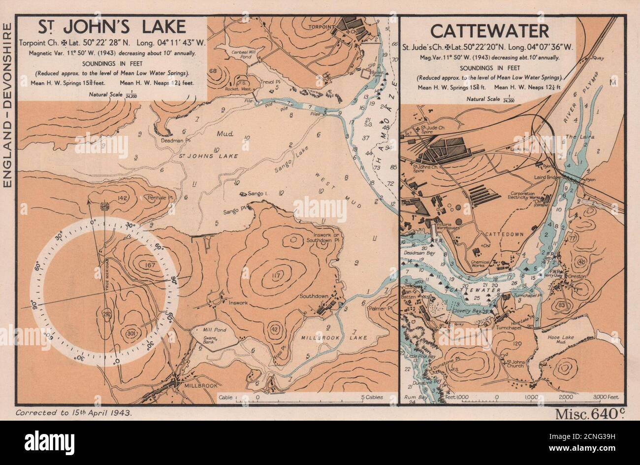
St. John's Lake. Torpoint church. Lat. 50° 22' 28" N. Long. 04° 11' 43" W. Magnetic var. 11° 50' W. (1943) decreasing about 10' annually. Soundings in feet (reduced approx. to the level of Mean Low Water Springs). Mean H. W. Springs 15¾ feet. Mean H. W. Neaps 12¼ feet. Natural scale 1/24, 200. Cattewater. St. Jude's church. Lat.50°22'20"N. Long. 04°07'36"W. mag. var. 11° 50' W. (1943) decreasing about 10' annually. Soundings in feet (reduced approx. to the level of Mean Low Water Springs). Mean H.W. Springs 15¾ Fort. Mean H. W. Neaps 12¼ ft natural scale 1/24, 200. Artist/engraver/cartographer: The British Admiralty. Provenance: "English Channel Handbook": 1st Edition; Published by The Hydrographic Department of the Admiralty. Type: Vintage colour sea chart.