Aeriel railway Stockfotos & Bilder
 Aeriel Eisenbahn auf den Tibidabo Vergnügungspark, als Hexen und Zauberer Den kennen. Stockfotohttps://www.alamy.de/image-license-details/?v=1https://www.alamy.de/stockfoto-aeriel-eisenbahn-auf-den-tibidabo-vergnugungspark-als-hexen-und-zauberer-den-kennen-55327684.html
RMD60B0M–Aeriel Eisenbahn auf den Tibidabo Vergnügungspark, als Hexen und Zauberer Den kennen.
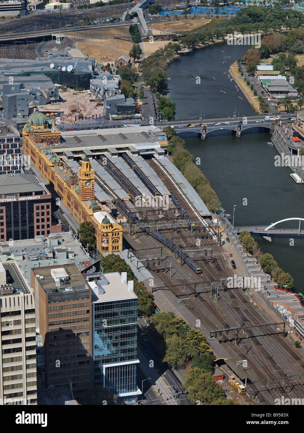 Luftaufnahme der Stadt Melbourne Flinders Street Bahnhof von Rialto Towers victoria Australien Stockfotohttps://www.alamy.de/image-license-details/?v=1https://www.alamy.de/stockfoto-luftaufnahme-der-stadt-melbourne-flinders-street-bahnhof-von-rialto-towers-victoria-australien-22858414.html
RFB9583X–Luftaufnahme der Stadt Melbourne Flinders Street Bahnhof von Rialto Towers victoria Australien
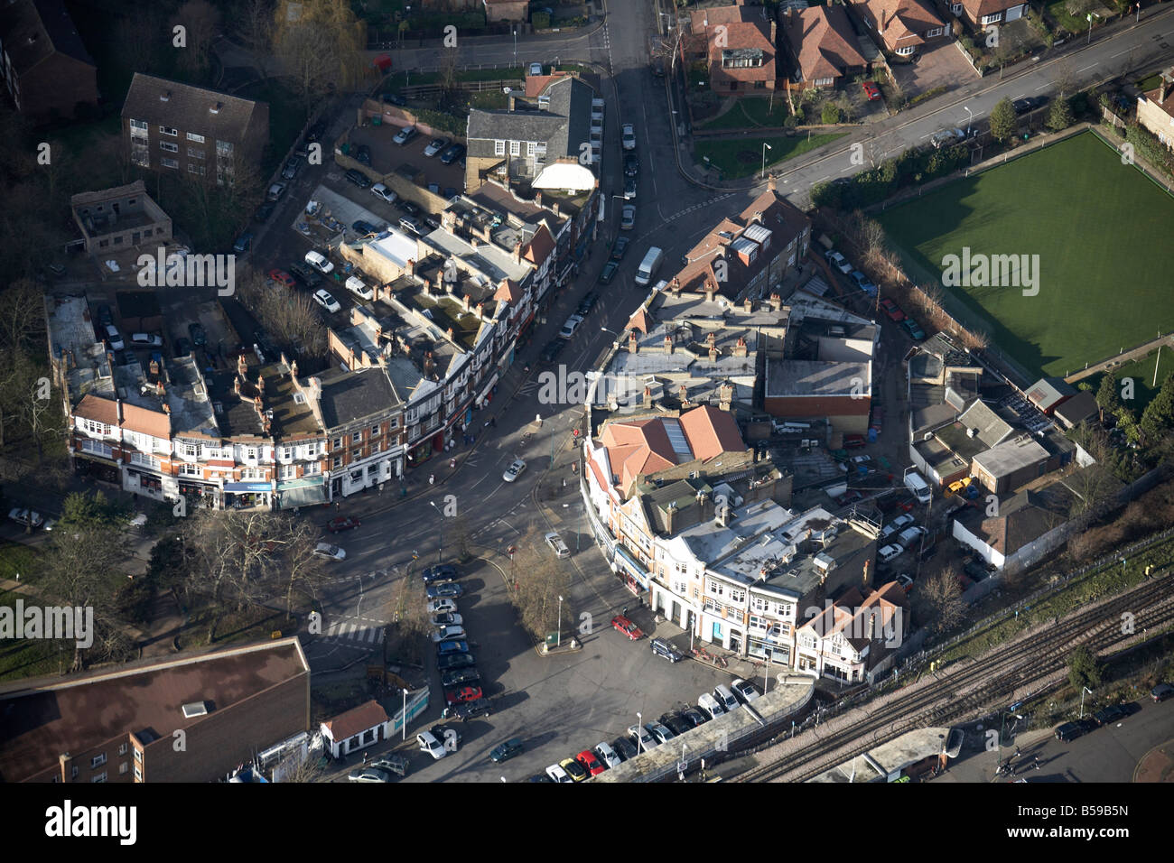 Luftbild Norden westlich von The Broadway King s Avenue Charteris Straße Bahnlinie s beherbergt Geschäfte Woodford Green London IG8 Stockfotohttps://www.alamy.de/image-license-details/?v=1https://www.alamy.de/stockfoto-luftbild-norden-westlich-von-the-broadway-king-s-avenue-charteris-strasse-bahnlinie-s-beherbergt-geschafte-woodford-green-london-ig8-20490001.html
RMB59B5N–Luftbild Norden westlich von The Broadway King s Avenue Charteris Straße Bahnlinie s beherbergt Geschäfte Woodford Green London IG8
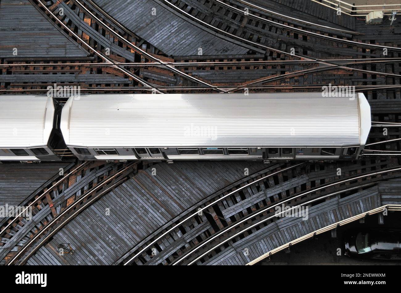 Chicago, Illinois, USA. Ein CTA Green Line Schnellzug überquert eine geschäftige Kreuzung in Chicagos berühmtem Loop. Stockfotohttps://www.alamy.de/image-license-details/?v=1https://www.alamy.de/chicago-illinois-usa-ein-cta-green-line-schnellzug-uberquert-eine-geschaftige-kreuzung-in-chicagos-beruhmtem-loop-image525485372.html
RM2NEWWXM–Chicago, Illinois, USA. Ein CTA Green Line Schnellzug überquert eine geschäftige Kreuzung in Chicagos berühmtem Loop.
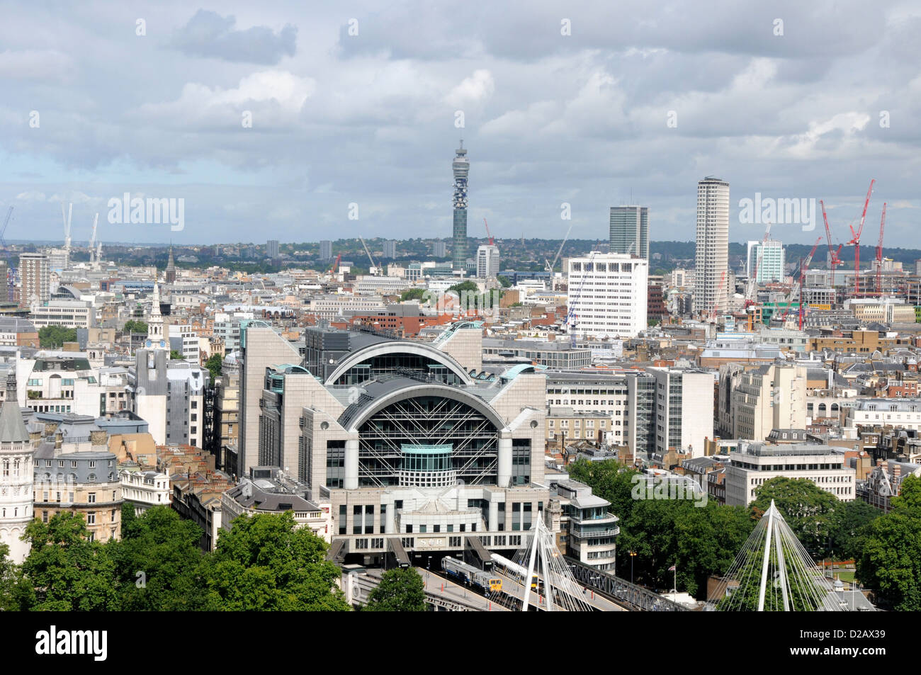 Charing Cross London Stockfotohttps://www.alamy.de/image-license-details/?v=1https://www.alamy.de/stockfoto-charing-cross-london-53100413.html
RFD2AX39–Charing Cross London
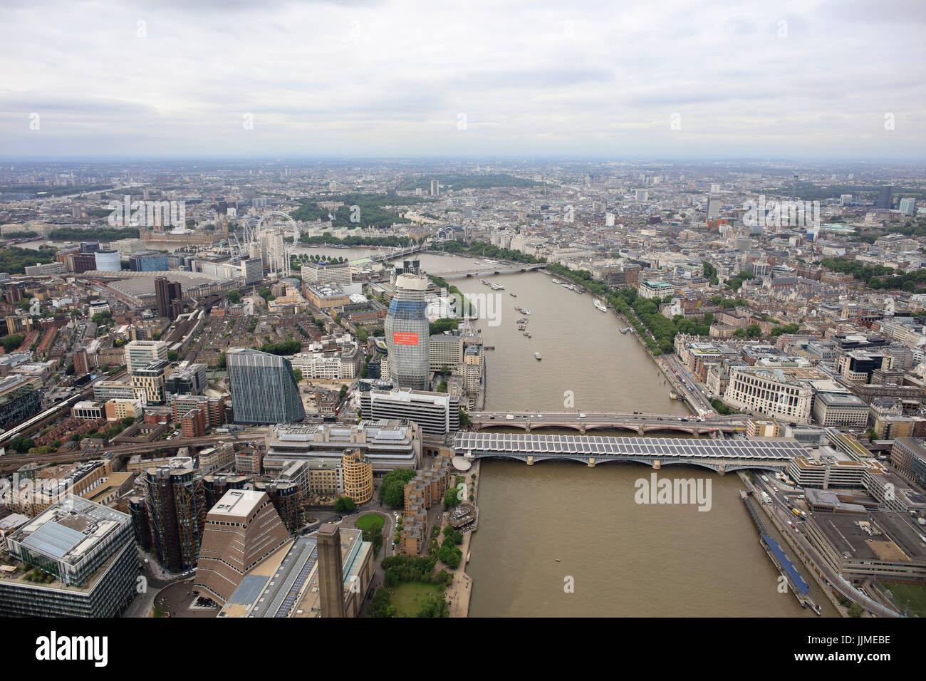 Eine Antenne Blick nach Westen auf der Themse von Blackfriars Bridge Stockfotohttps://www.alamy.de/image-license-details/?v=1https://www.alamy.de/stockfoto-eine-antenne-blick-nach-westen-auf-der-themse-von-blackfriars-bridge-149197090.html
RFJJMEBE–Eine Antenne Blick nach Westen auf der Themse von Blackfriars Bridge
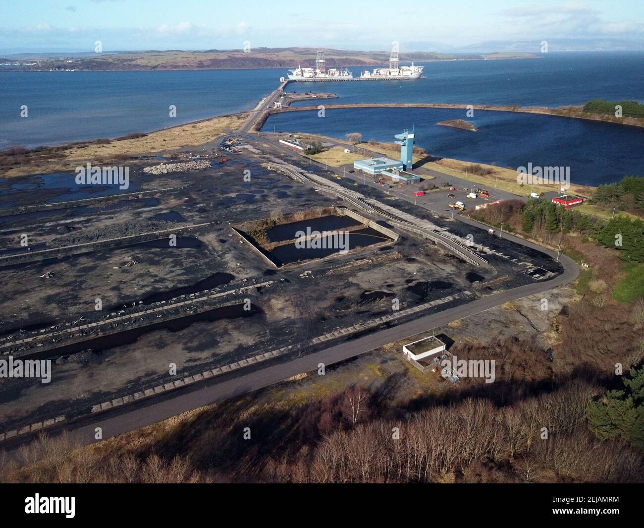 Hunterston Peelport Erz Terminal, North Ayrshire, Schottland. Stockfotohttps://www.alamy.de/image-license-details/?v=1https://www.alamy.de/hunterston-peelport-erz-terminal-north-ayrshire-schottland-image407138136.html
RM2EJAMRM–Hunterston Peelport Erz Terminal, North Ayrshire, Schottland.
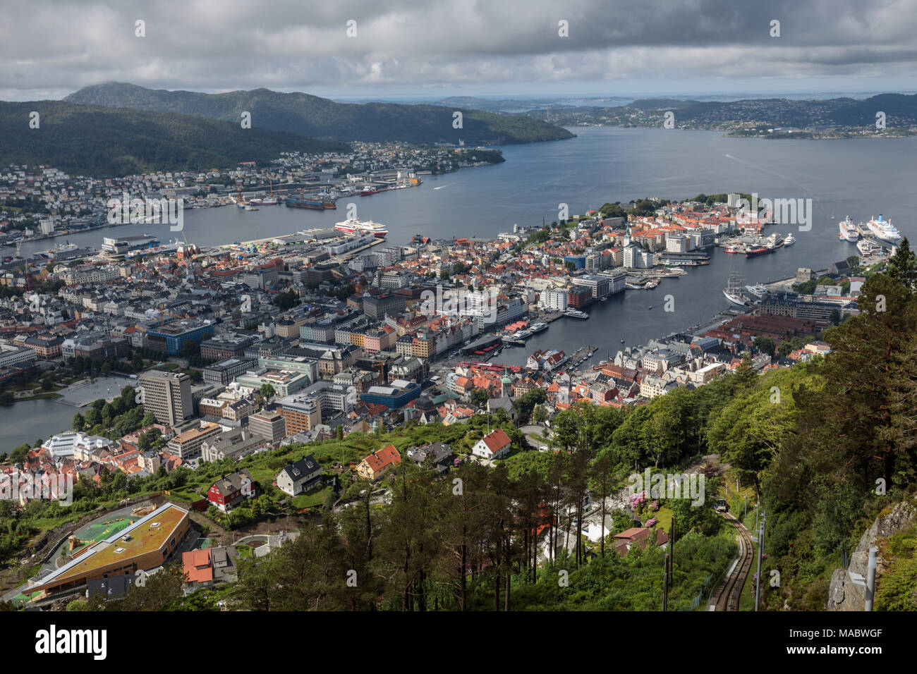 Aerielblick auf das Ufer und den Hafen von Bergen, Norwegen, vom Mount Floyen. Stockfotohttps://www.alamy.de/image-license-details/?v=1https://www.alamy.de/aerielblick-auf-das-ufer-und-den-hafen-von-bergen-norwegen-vom-mount-floyen-image178511775.html
RFMABWGF–Aerielblick auf das Ufer und den Hafen von Bergen, Norwegen, vom Mount Floyen.
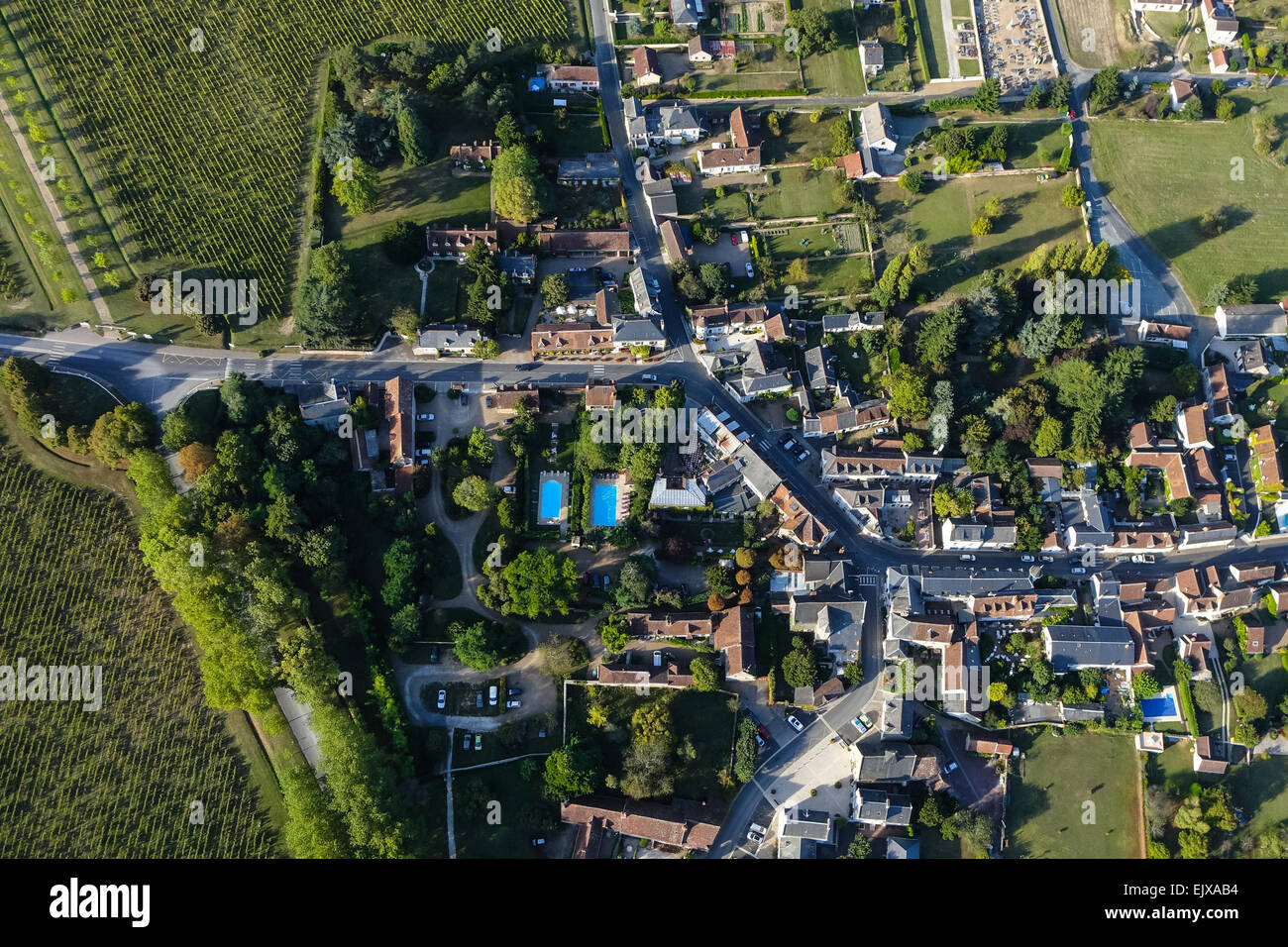 Luftaufnahme des Dorfes Chenonceaux im loire-Tal, Frankreich. Stockfotohttps://www.alamy.de/image-license-details/?v=1https://www.alamy.de/stockfoto-luftaufnahme-des-dorfes-chenonceaux-im-loire-tal-frankreich-80484184.html
RMEJXAB4–Luftaufnahme des Dorfes Chenonceaux im loire-Tal, Frankreich.
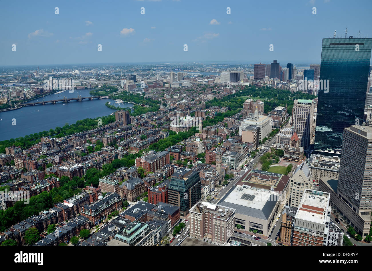 AERIEL Blick auf Boston, Longfellow Bridge und Charles River Stockfotohttps://www.alamy.de/image-license-details/?v=1https://www.alamy.de/aeriel-blick-auf-boston-longfellow-bridge-und-charles-river-image61220986.html
RFDFGRYP–AERIEL Blick auf Boston, Longfellow Bridge und Charles River
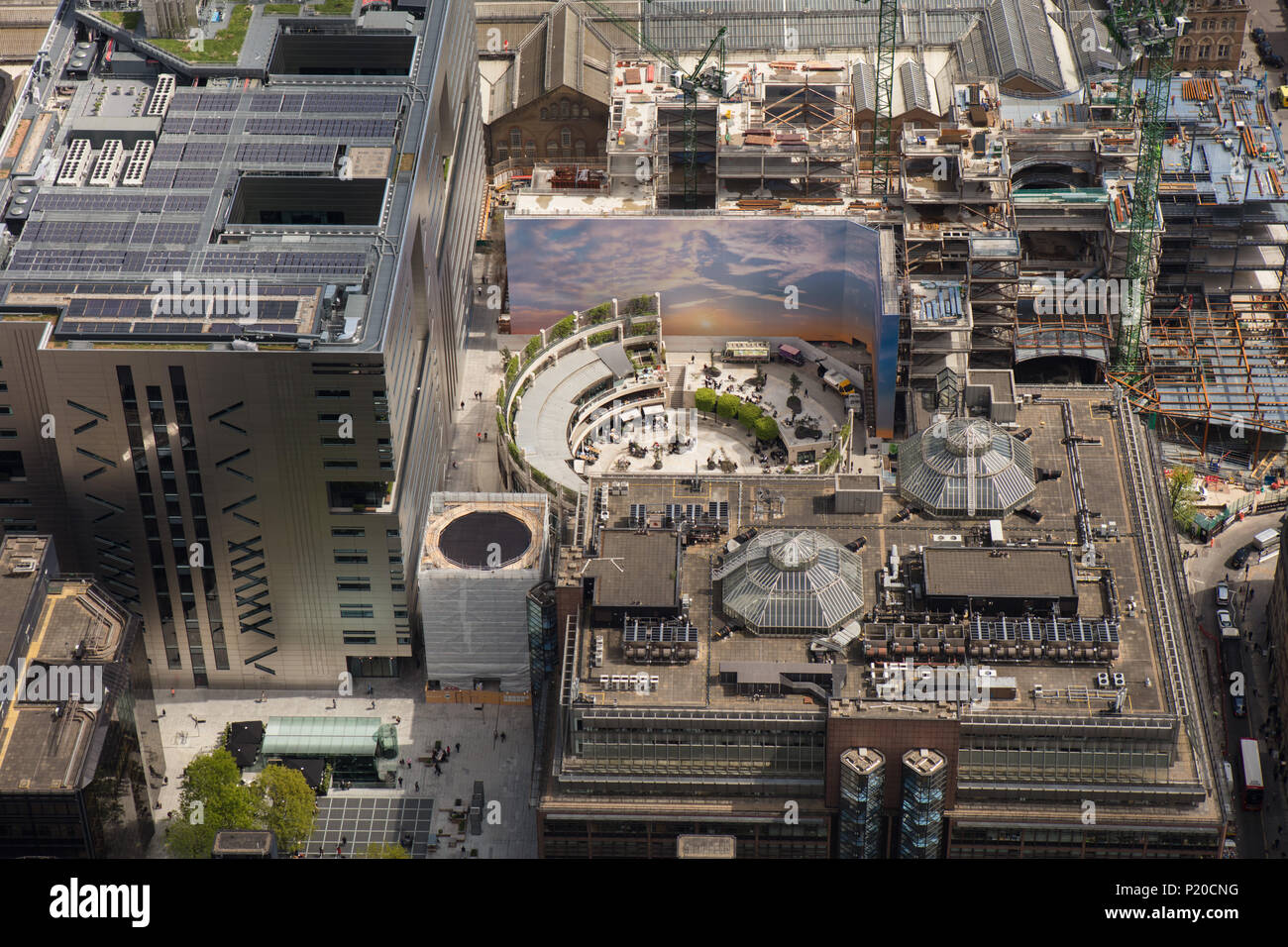 Eine Luftaufnahme zeigt Broadgate Circus in London und lokale Entwicklung Stockfotohttps://www.alamy.de/image-license-details/?v=1https://www.alamy.de/eine-luftaufnahme-zeigt-broadgate-circus-in-london-und-lokale-entwicklung-image207763740.html
RFP20CNG–Eine Luftaufnahme zeigt Broadgate Circus in London und lokale Entwicklung
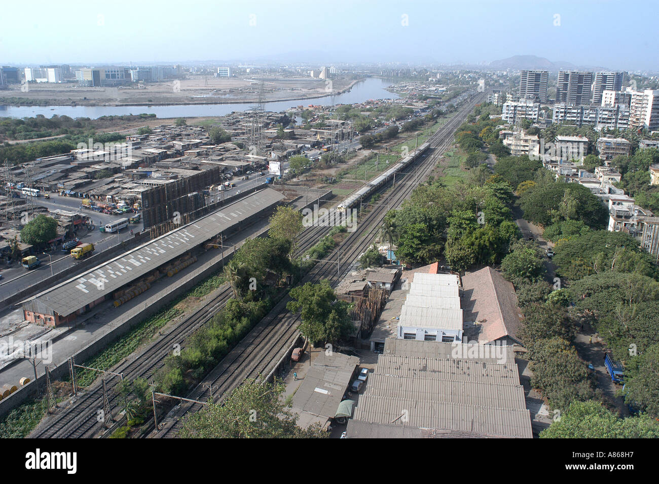 MPD77545 Luftbild von Sion Kurla Eisenbahnstrecken mit Mithi Fluss Bombay jetzt Mumbai Maharashtra Indien Stockfotohttps://www.alamy.de/image-license-details/?v=1https://www.alamy.de/mpd77545-luftbild-von-sion-kurla-eisenbahnstrecken-mit-mithi-fluss-bombay-jetzt-mumbai-maharashtra-indien-image6857750.html
RMA868H7–MPD77545 Luftbild von Sion Kurla Eisenbahnstrecken mit Mithi Fluss Bombay jetzt Mumbai Maharashtra Indien
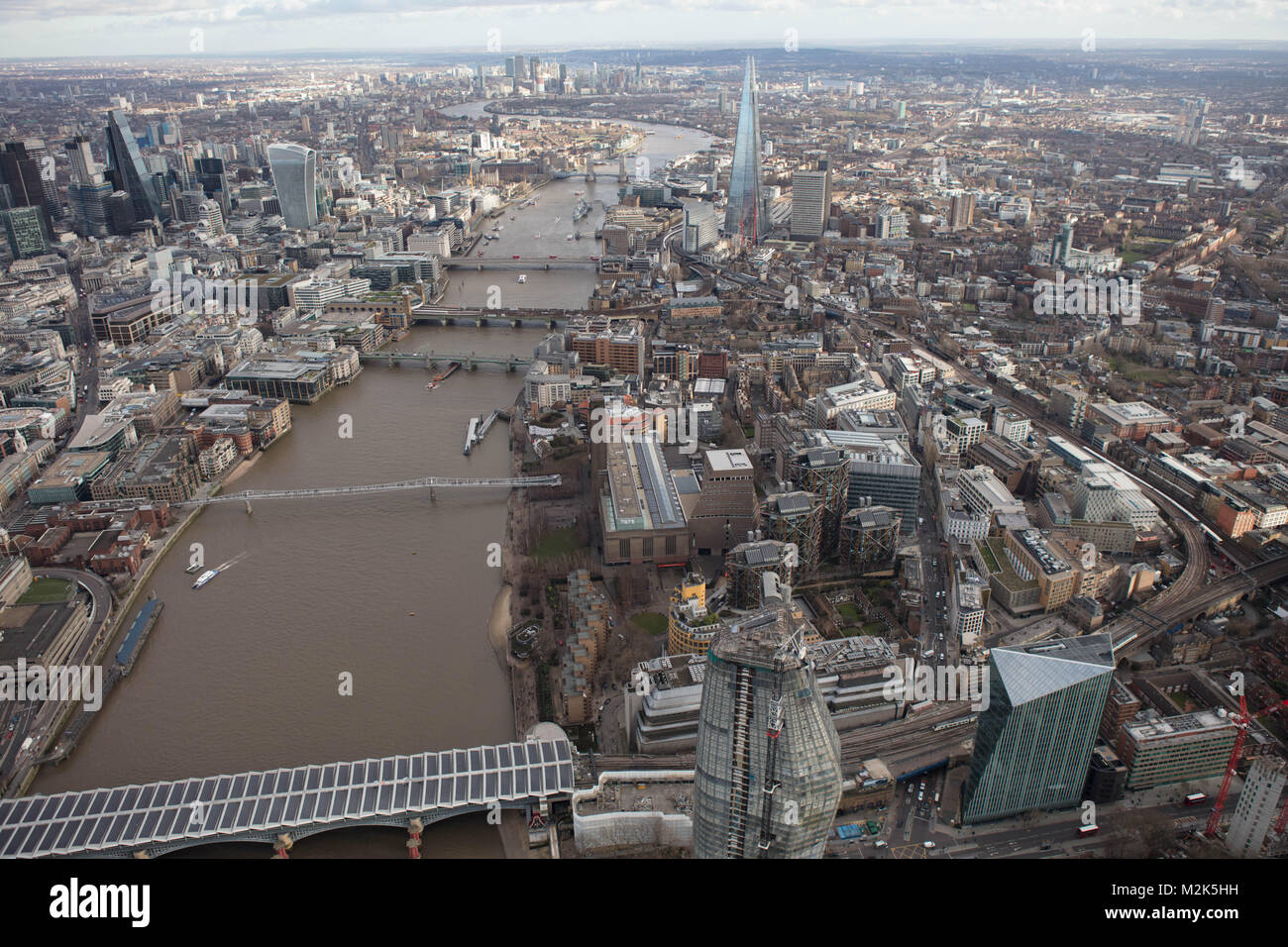 Ein Luftbild von London East Down die Themse von Blackfriars Bridge suchen mit Canary Wharf in der Ferne sichtbar. Stockfotohttps://www.alamy.de/image-license-details/?v=1https://www.alamy.de/stockfoto-ein-luftbild-von-london-east-down-die-themse-von-blackfriars-bridge-suchen-mit-canary-wharf-in-der-ferne-sichtbar-173754493.html
RMM2K5HH–Ein Luftbild von London East Down die Themse von Blackfriars Bridge suchen mit Canary Wharf in der Ferne sichtbar.
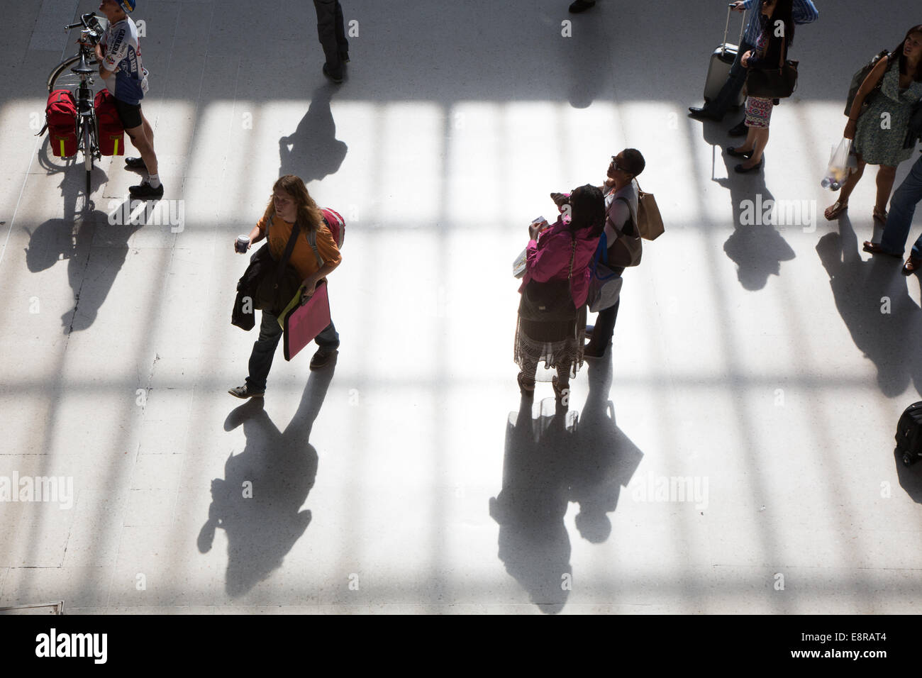 Passagiere auf dem Zusammentreffen am Bahnhof Brighton, während einem anstrengenden heißen Sommermorgen. Stockfotohttps://www.alamy.de/image-license-details/?v=1https://www.alamy.de/stockfoto-passagiere-auf-dem-zusammentreffen-am-bahnhof-brighton-wahrend-einem-anstrengenden-heissen-sommermorgen-74272132.html
RME8RAT4–Passagiere auf dem Zusammentreffen am Bahnhof Brighton, während einem anstrengenden heißen Sommermorgen.
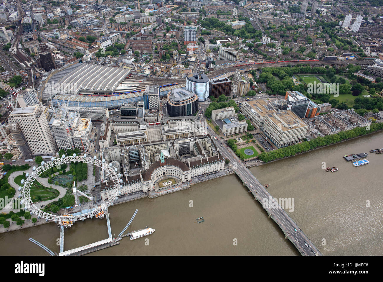 Eine Luftaufnahme von der South Bank in London, darunter das London Eye und Waterloo Station Stockfotohttps://www.alamy.de/image-license-details/?v=1https://www.alamy.de/stockfoto-eine-luftaufnahme-von-der-south-bank-in-london-darunter-das-london-eye-und-waterloo-station-149197112.html
RMJJMEC8–Eine Luftaufnahme von der South Bank in London, darunter das London Eye und Waterloo Station
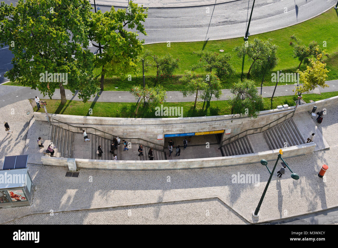 Stufen führen in den Marques de Pombal Metro, Lissabon, Portugal Stockfotohttps://www.alamy.de/image-license-details/?v=1https://www.alamy.de/stockfoto-stufen-fuhren-in-den-marques-de-pombal-metro-lissabon-portugal-174517195.html
RMM3WXCY–Stufen führen in den Marques de Pombal Metro, Lissabon, Portugal
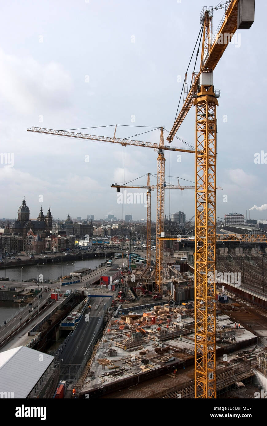 Neue U-Bahn-Bau-Amsterdam Stockfotohttps://www.alamy.de/image-license-details/?v=1https://www.alamy.de/stockfoto-neue-u-bahn-bau-amsterdam-23087575.html
RMB9FMC7–Neue U-Bahn-Bau-Amsterdam
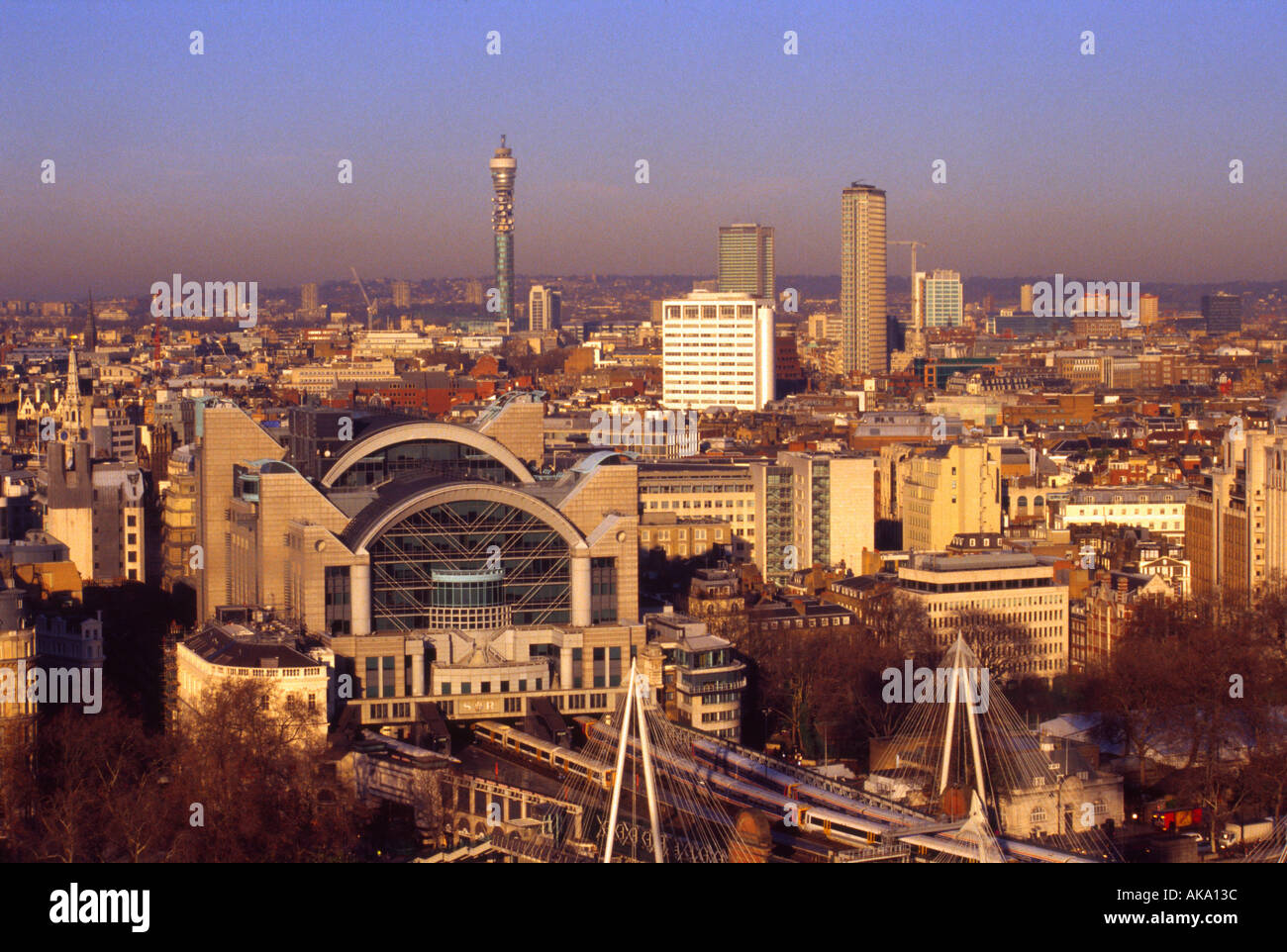 Blick vom London Eye & Charing Cross Station Stockfotohttps://www.alamy.de/image-license-details/?v=1https://www.alamy.de/blick-vom-london-eye-charing-cross-station-image1286459.html
RMAKA13C–Blick vom London Eye & Charing Cross Station
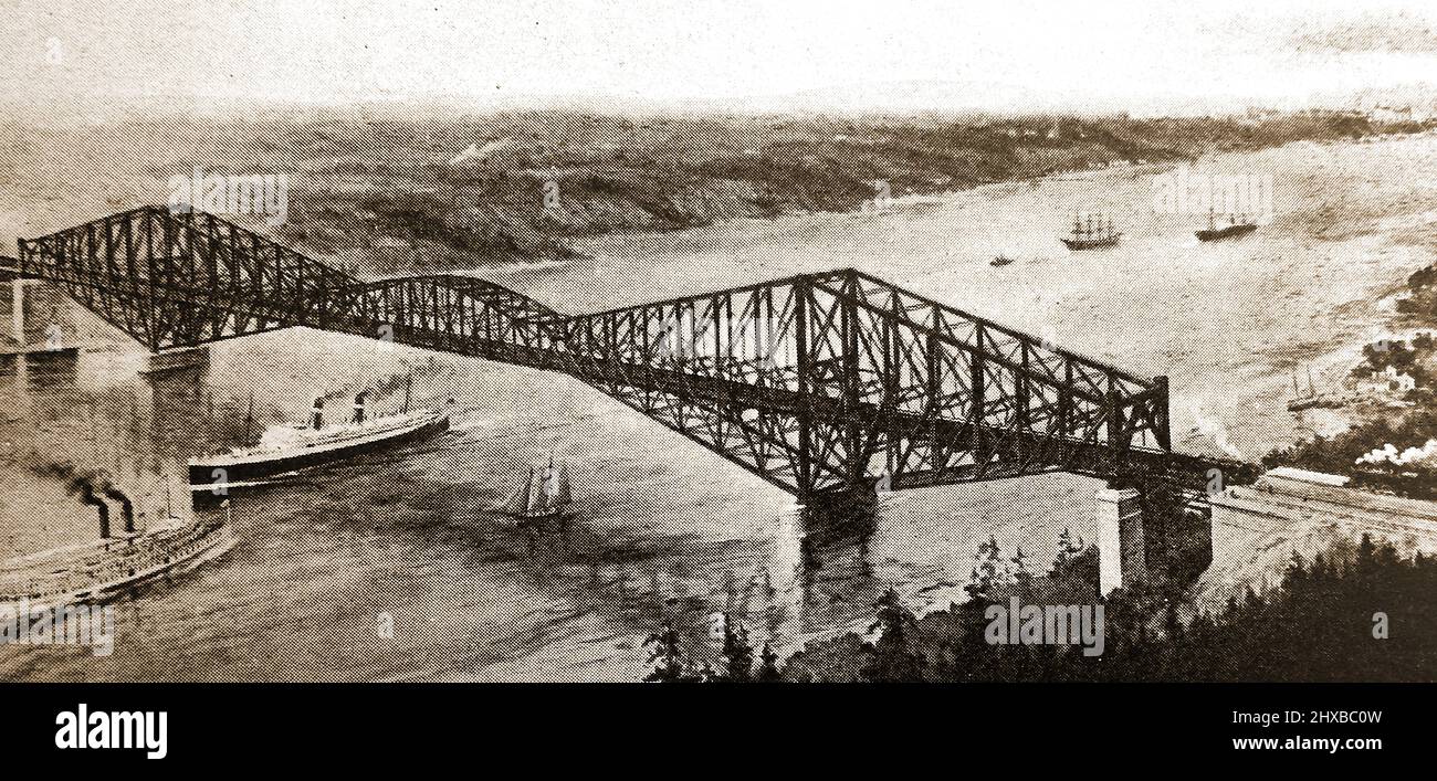 Eine frühe Luftaufnahme der freitragenden Québec-Brücke, die ursprünglich für die Übertragung von drei Gleisen der Nationalen Transkontinentalen Eisenbahn in der Nähe von Quebec gebaut wurde. Als die Fertigstellung am 29. August 1907after für vier Jahre ansteht, Der südliche Arm und ein Teil des zentralen Abschnitts der Brücke stürzten in den Fluss ein und töteten 75 der 86 Arbeiter auf dem Fluss. Es wurde zur schlimmsten Brückenbaukatastrophe der Welt. Es wurde 1919 fertiggestellt. Stockfotohttps://www.alamy.de/image-license-details/?v=1https://www.alamy.de/eine-fruhe-luftaufnahme-der-freitragenden-qubec-brucke-die-ursprunglich-fur-die-ubertragung-von-drei-gleisen-der-nationalen-transkontinentalen-eisenbahn-in-der-nahe-von-quebec-gebaut-wurde-als-die-fertigstellung-am-29-august-1907after-fur-vier-jahre-ansteht-der-sudliche-arm-und-ein-teil-des-zentralen-abschnitts-der-brucke-sturzten-in-den-fluss-ein-und-toteten-75-der-86-arbeiter-auf-dem-fluss-es-wurde-zur-schlimmsten-bruckenbaukatastrophe-der-welt-es-wurde-1919-fertiggestellt-image463701529.html
RM2HXBC0W–Eine frühe Luftaufnahme der freitragenden Québec-Brücke, die ursprünglich für die Übertragung von drei Gleisen der Nationalen Transkontinentalen Eisenbahn in der Nähe von Quebec gebaut wurde. Als die Fertigstellung am 29. August 1907after für vier Jahre ansteht, Der südliche Arm und ein Teil des zentralen Abschnitts der Brücke stürzten in den Fluss ein und töteten 75 der 86 Arbeiter auf dem Fluss. Es wurde zur schlimmsten Brückenbaukatastrophe der Welt. Es wurde 1919 fertiggestellt.
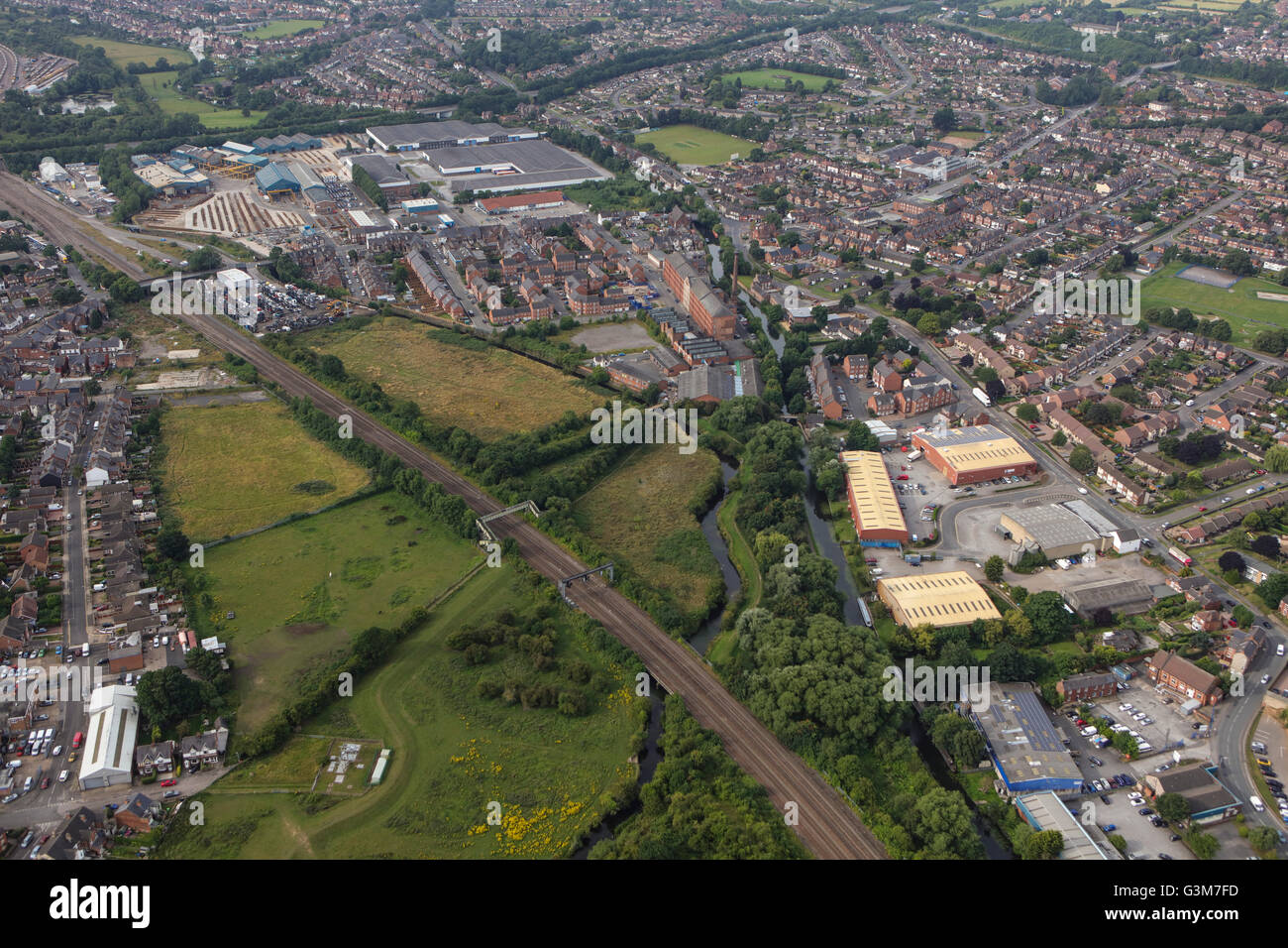 Eine Luftaufnahme von Sandiacre, einer Stadt in Derbyshire Stockfotohttps://www.alamy.de/image-license-details/?v=1https://www.alamy.de/stockfoto-eine-luftaufnahme-von-sandiacre-einer-stadt-in-derbyshire-105551137.html
RMG3M7FD–Eine Luftaufnahme von Sandiacre, einer Stadt in Derbyshire
 Rialto Towers, Melbourne, Australien Stockfotohttps://www.alamy.de/image-license-details/?v=1https://www.alamy.de/stockfoto-rialto-towers-melbourne-australien-22333207.html
RFB89A6F–Rialto Towers, Melbourne, Australien
 Luftbild Norden östlich von St Pancras Railway Station Midland Railway Cheney Straße Bau Arbeit Gasholder London NW1 UK Stockfotohttps://www.alamy.de/image-license-details/?v=1https://www.alamy.de/stockfoto-luftbild-norden-ostlich-von-st-pancras-railway-station-midland-railway-cheney-strasse-bau-arbeit-gasholder-london-nw1-uk-20489965.html
RMB59B4D–Luftbild Norden östlich von St Pancras Railway Station Midland Railway Cheney Straße Bau Arbeit Gasholder London NW1 UK
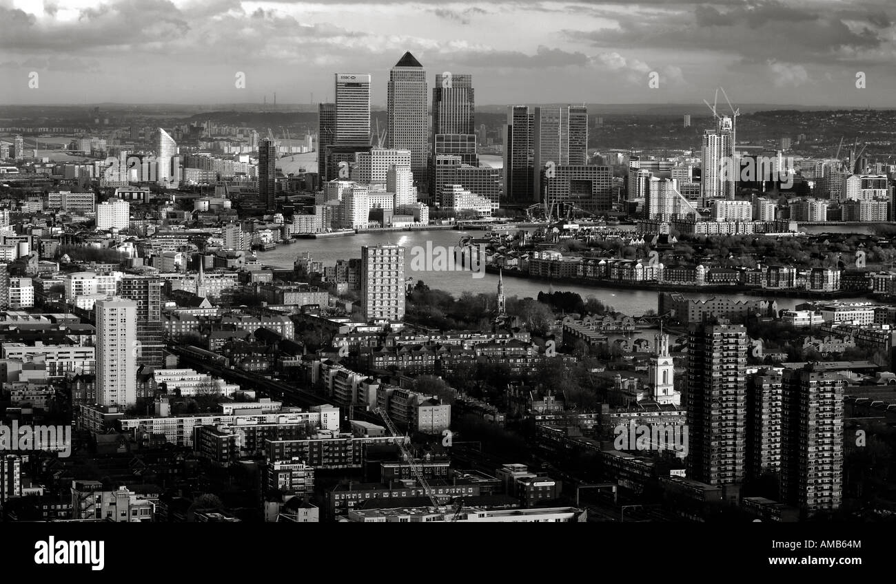 Ansicht von London aus dem obersten Stockwerk des Gebäudes Gherkin in schwarz und weiß. Bild von Patrick Steel patricksteel Stockfotohttps://www.alamy.de/image-license-details/?v=1https://www.alamy.de/stockfoto-ansicht-von-london-aus-dem-obersten-stockwerk-des-gebaudes-gherkin-in-schwarz-und-weiss-bild-von-patrick-steel-patricksteel-15208531.html
RMAMB64M–Ansicht von London aus dem obersten Stockwerk des Gebäudes Gherkin in schwarz und weiß. Bild von Patrick Steel patricksteel
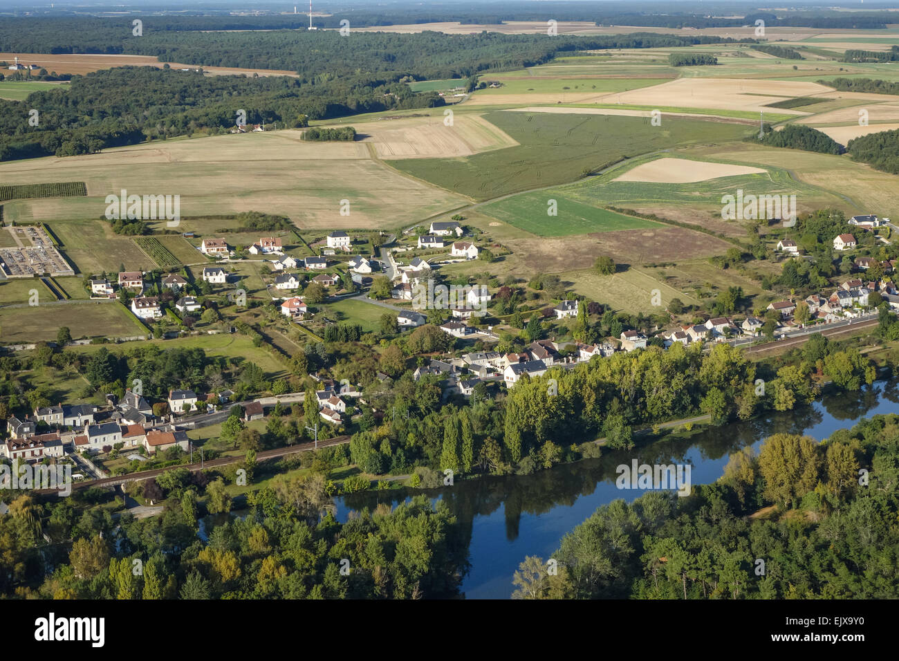 Chisseaux Dorf im Tal Loire, Frankreich aus der Luft Stockfotohttps://www.alamy.de/image-license-details/?v=1https://www.alamy.de/stockfoto-chisseaux-dorf-im-tal-loire-frankreich-aus-der-luft-80483844.html
RMEJX9Y0–Chisseaux Dorf im Tal Loire, Frankreich aus der Luft
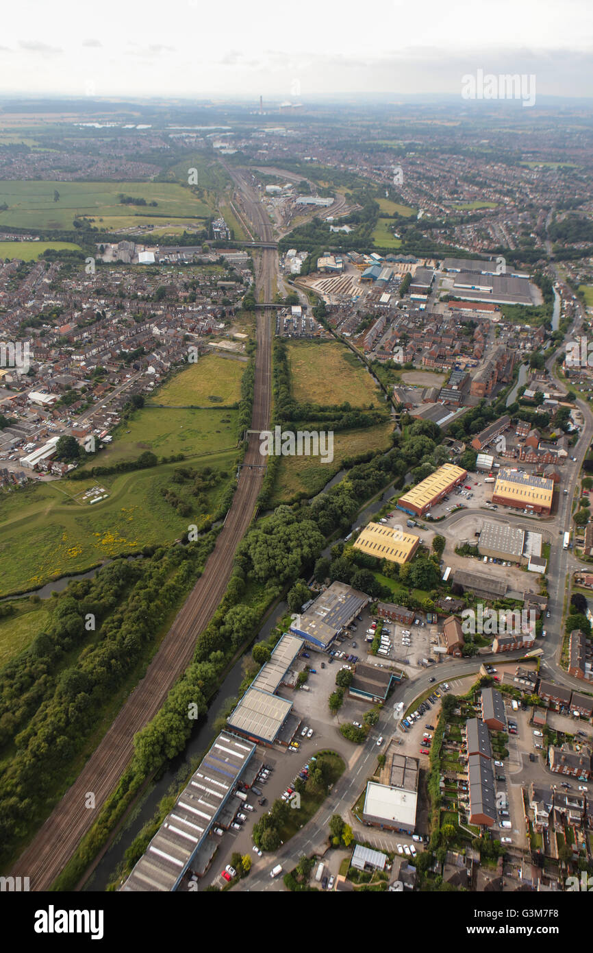 Eine Luftaufnahme von Sandiacre, einer Stadt in Derbyshire Stockfotohttps://www.alamy.de/image-license-details/?v=1https://www.alamy.de/stockfoto-eine-luftaufnahme-von-sandiacre-einer-stadt-in-derbyshire-105551132.html
RMG3M7F8–Eine Luftaufnahme von Sandiacre, einer Stadt in Derbyshire
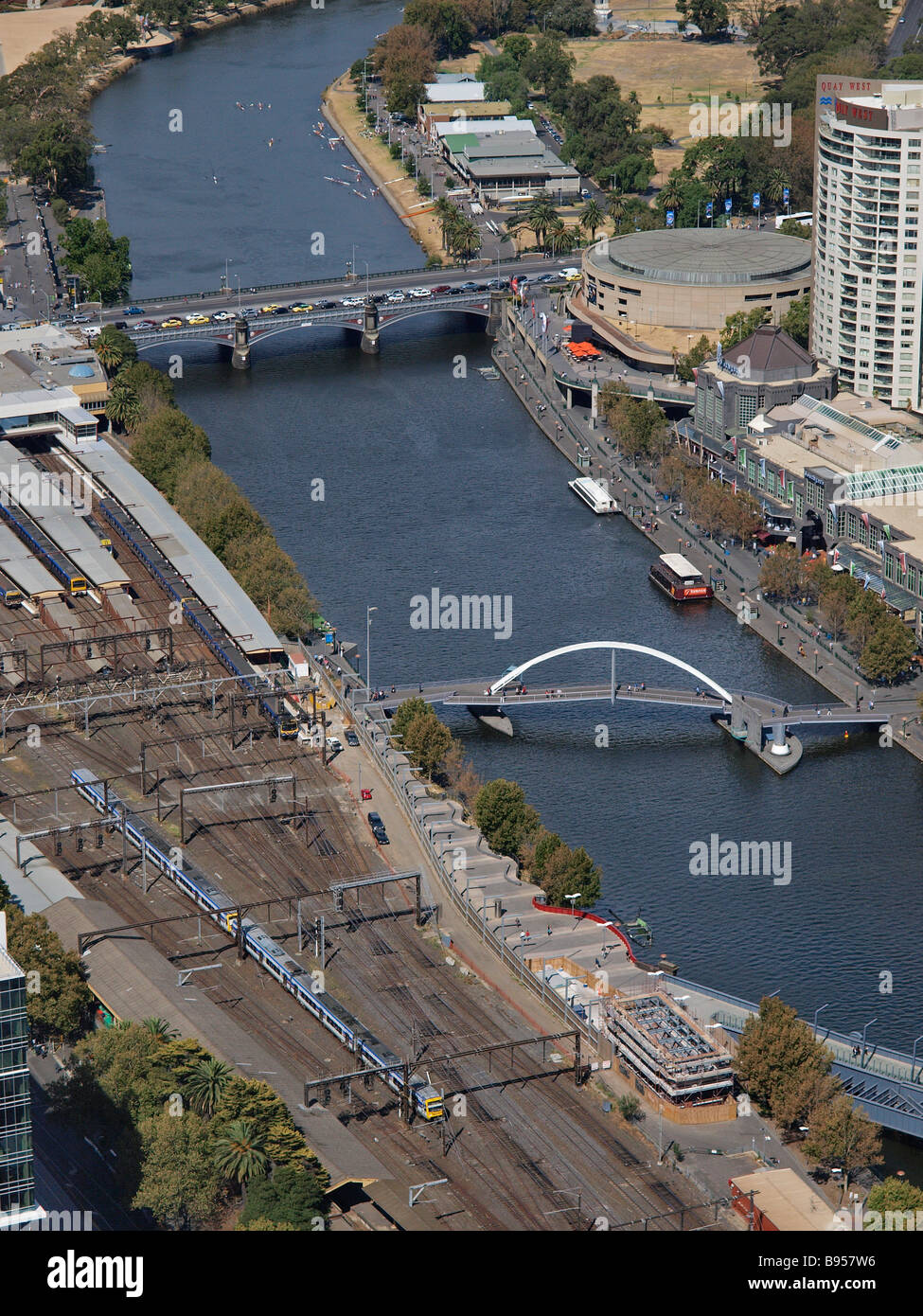 Eyriel Blick vom Rialto Tower Melbourne victoria Australien Stockfotohttps://www.alamy.de/image-license-details/?v=1https://www.alamy.de/stockfoto-eyriel-blick-vom-rialto-tower-melbourne-victoria-australien-22858226.html
RFB957W6–Eyriel Blick vom Rialto Tower Melbourne victoria Australien
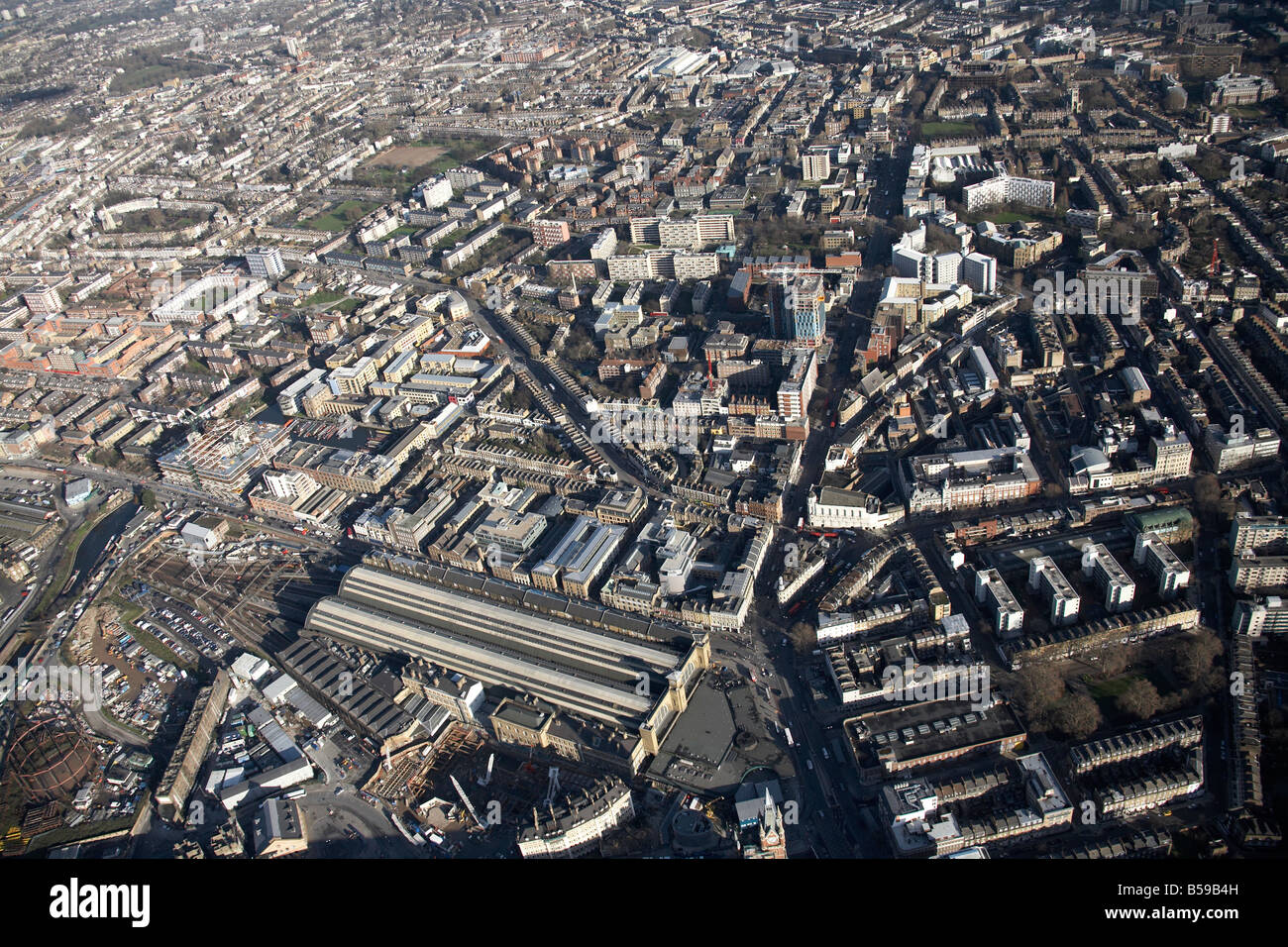 Antenne anzeigen Nord östlich von King s Cross Railway Station Caledonian Road Pentoville Straße Innenstadt Gebäude Clerkenwell London N Stockfotohttps://www.alamy.de/image-license-details/?v=1https://www.alamy.de/stockfoto-antenne-anzeigen-nord-ostlich-von-king-s-cross-railway-station-caledonian-road-pentoville-strasse-innenstadt-gebaude-clerkenwell-london-n-20489969.html
RMB59B4H–Antenne anzeigen Nord östlich von King s Cross Railway Station Caledonian Road Pentoville Straße Innenstadt Gebäude Clerkenwell London N
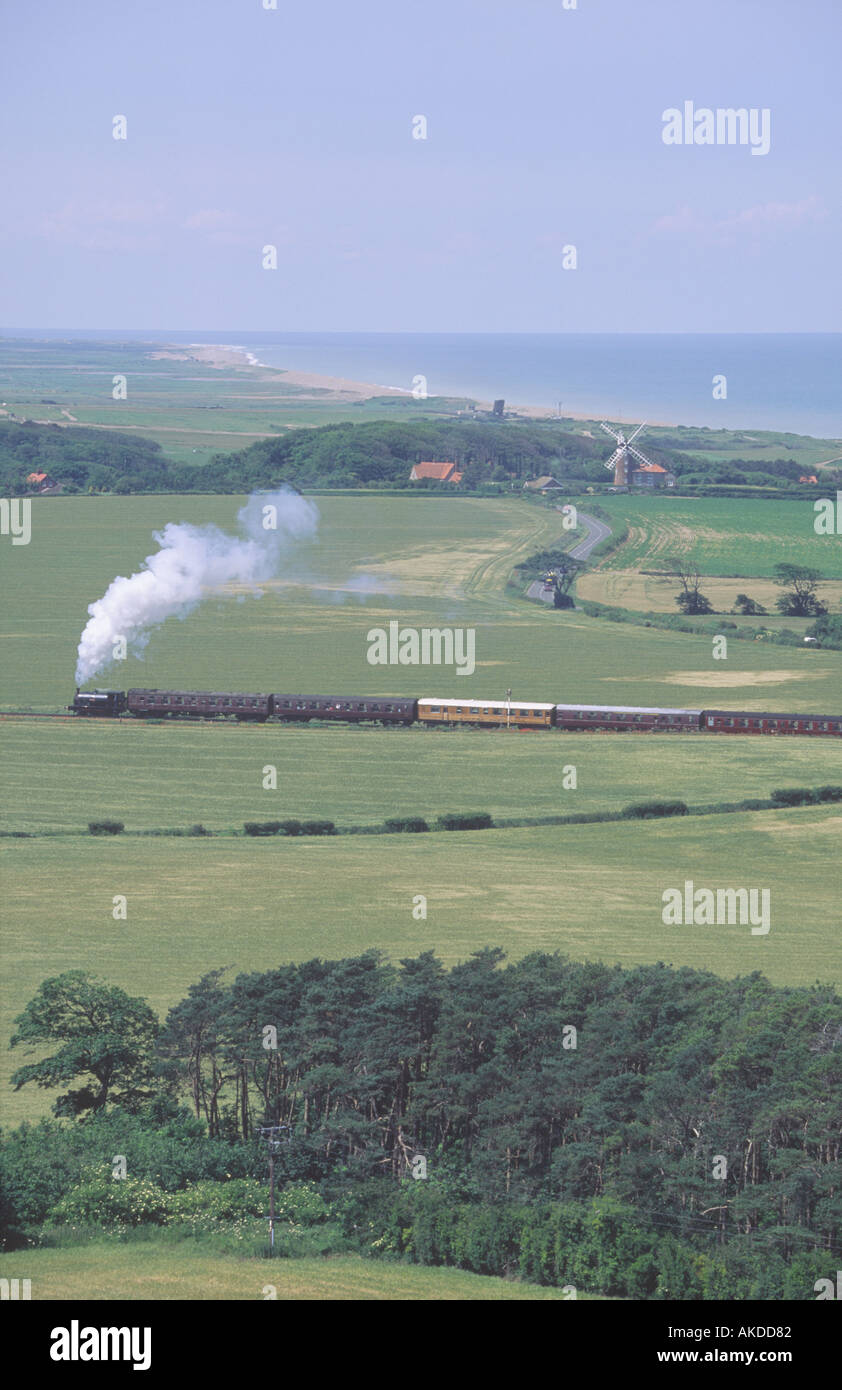 ERHÖHTEN BLICK VOM LOOKOUT TOWER SHERINGHAM PARK MIT BLICK AUF WEYBOURNE MÜHLE UND SHERINGHAM, HOLT STEAM TRAIN SHERINGHAM Stockfotohttps://www.alamy.de/image-license-details/?v=1https://www.alamy.de/erhohten-blick-vom-lookout-tower-sheringham-park-mit-blick-auf-weybourne-muhle-und-sheringham-holt-steam-train-sheringham-image1301889.html
RFAKDD82–ERHÖHTEN BLICK VOM LOOKOUT TOWER SHERINGHAM PARK MIT BLICK AUF WEYBOURNE MÜHLE UND SHERINGHAM, HOLT STEAM TRAIN SHERINGHAM
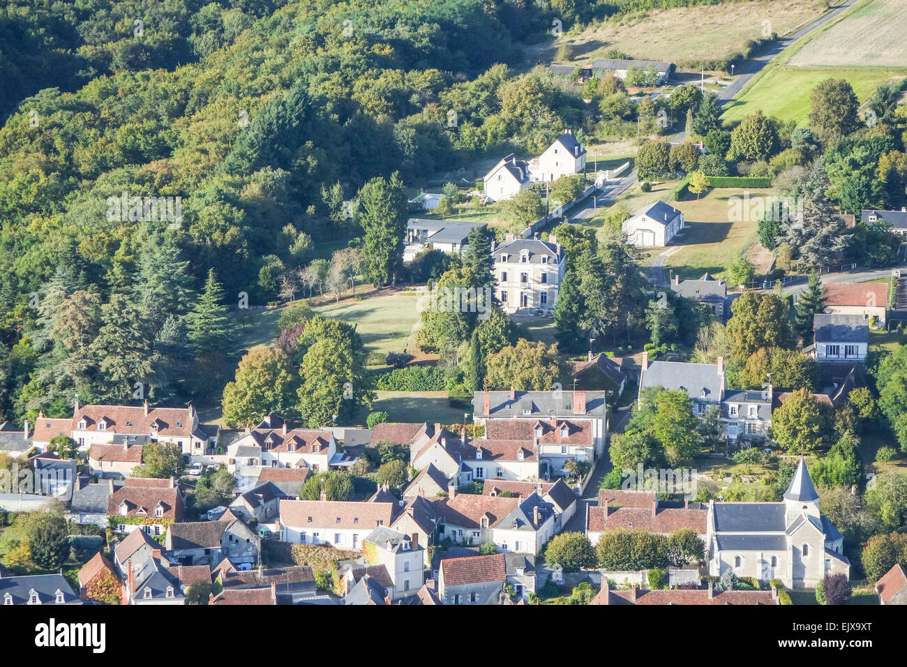 Chisseaux Dorf im Tal Loire, Frankreich aus der Luft Stockfotohttps://www.alamy.de/image-license-details/?v=1https://www.alamy.de/stockfoto-chisseaux-dorf-im-tal-loire-frankreich-aus-der-luft-80483840.html
RMEJX9XT–Chisseaux Dorf im Tal Loire, Frankreich aus der Luft
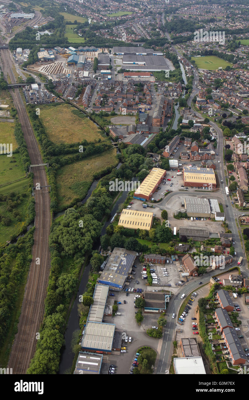 Eine Luftaufnahme von Sandiacre, einer Stadt in Derbyshire Stockfotohttps://www.alamy.de/image-license-details/?v=1https://www.alamy.de/stockfoto-eine-luftaufnahme-von-sandiacre-einer-stadt-in-derbyshire-105551122.html
RMG3M7EX–Eine Luftaufnahme von Sandiacre, einer Stadt in Derbyshire
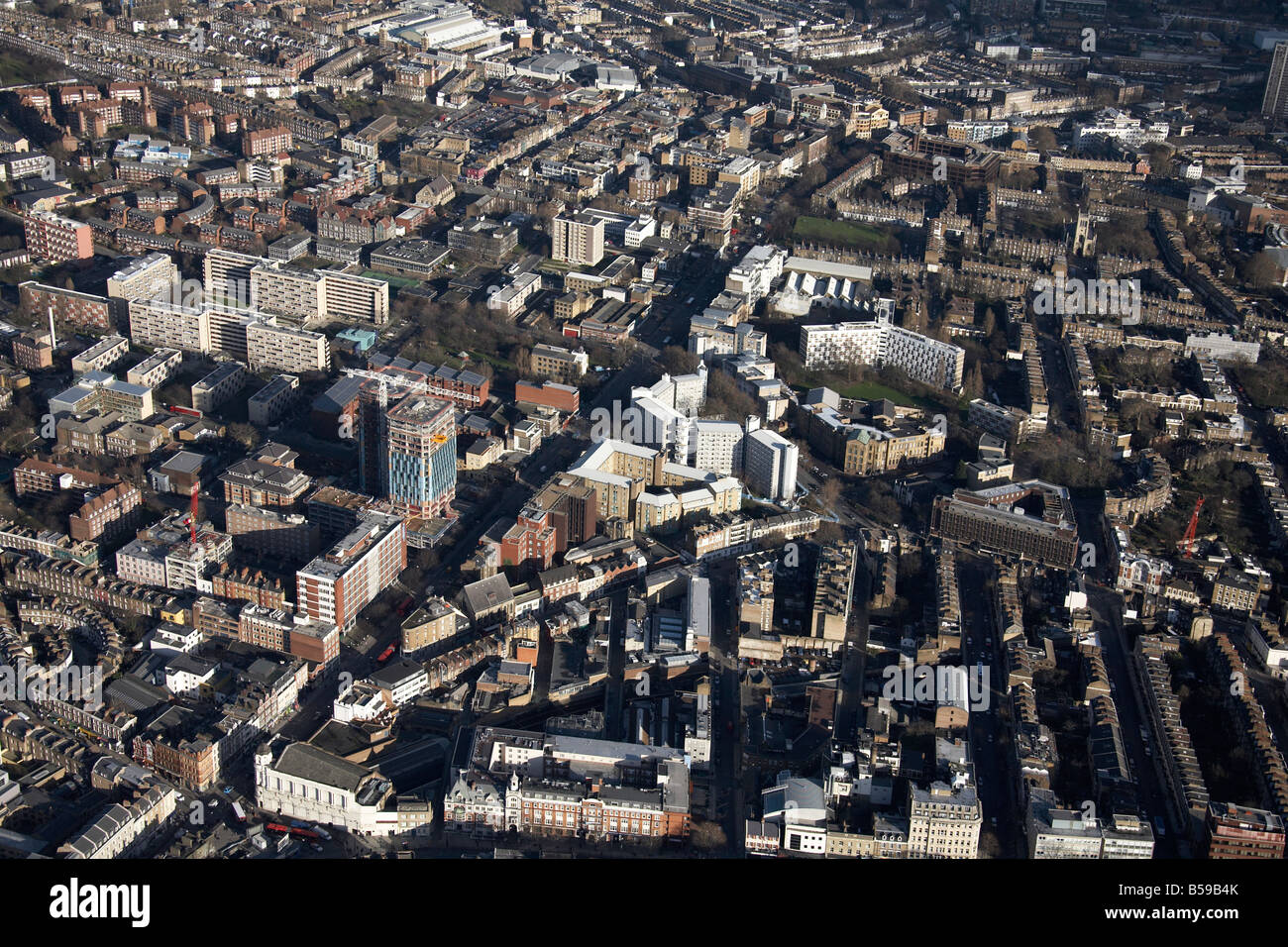 Antenne anzeigen Nord östlich von King s Cross Railway Station Pentoville Road innerstädtischen Gebäude Hochhäuser Clerkenwell London N1 W Stockfotohttps://www.alamy.de/image-license-details/?v=1https://www.alamy.de/stockfoto-antenne-anzeigen-nord-ostlich-von-king-s-cross-railway-station-pentoville-road-innerstadtischen-gebaude-hochhauser-clerkenwell-london-n1-w-20489971.html
RMB59B4K–Antenne anzeigen Nord östlich von King s Cross Railway Station Pentoville Road innerstädtischen Gebäude Hochhäuser Clerkenwell London N1 W
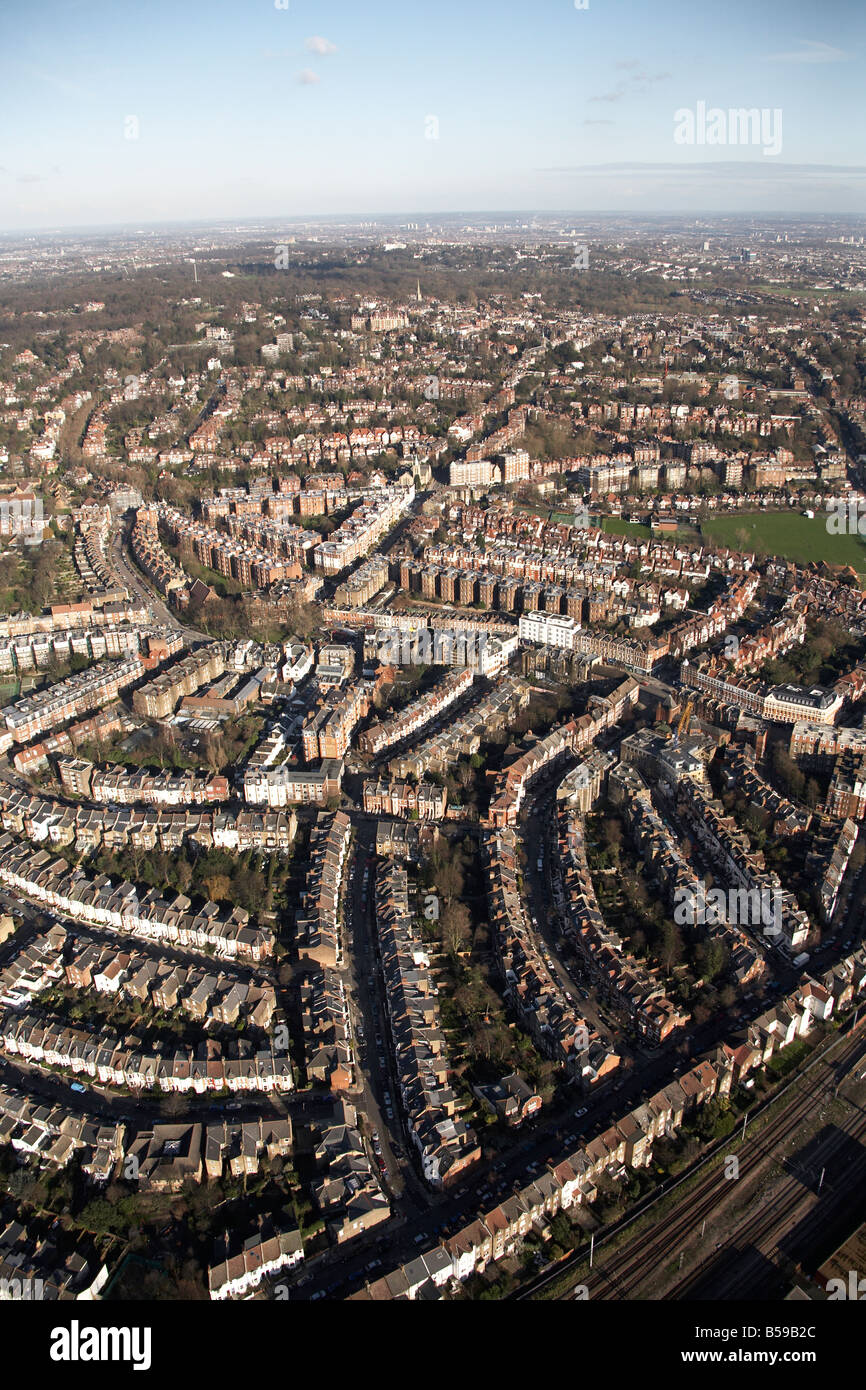 Luftbild Norden östlich der s-Bahn beherbergt West Hampstead Eisenbahnlinie Cricket Club West End Lane Pandora Road London NW6 NW3 UK Stockfotohttps://www.alamy.de/image-license-details/?v=1https://www.alamy.de/stockfoto-luftbild-norden-ostlich-der-s-bahn-beherbergt-west-hampstead-eisenbahnlinie-cricket-club-west-end-lane-pandora-road-london-nw6-nw3-uk-20489908.html
RMB59B2C–Luftbild Norden östlich der s-Bahn beherbergt West Hampstead Eisenbahnlinie Cricket Club West End Lane Pandora Road London NW6 NW3 UK
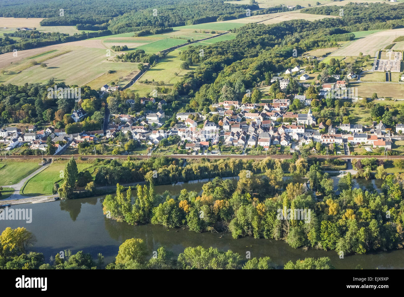 Chisseaux Dorf im Tal Loire, Frankreich aus der Luft Stockfotohttps://www.alamy.de/image-license-details/?v=1https://www.alamy.de/stockfoto-chisseaux-dorf-im-tal-loire-frankreich-aus-der-luft-80483838.html
RMEJX9XP–Chisseaux Dorf im Tal Loire, Frankreich aus der Luft
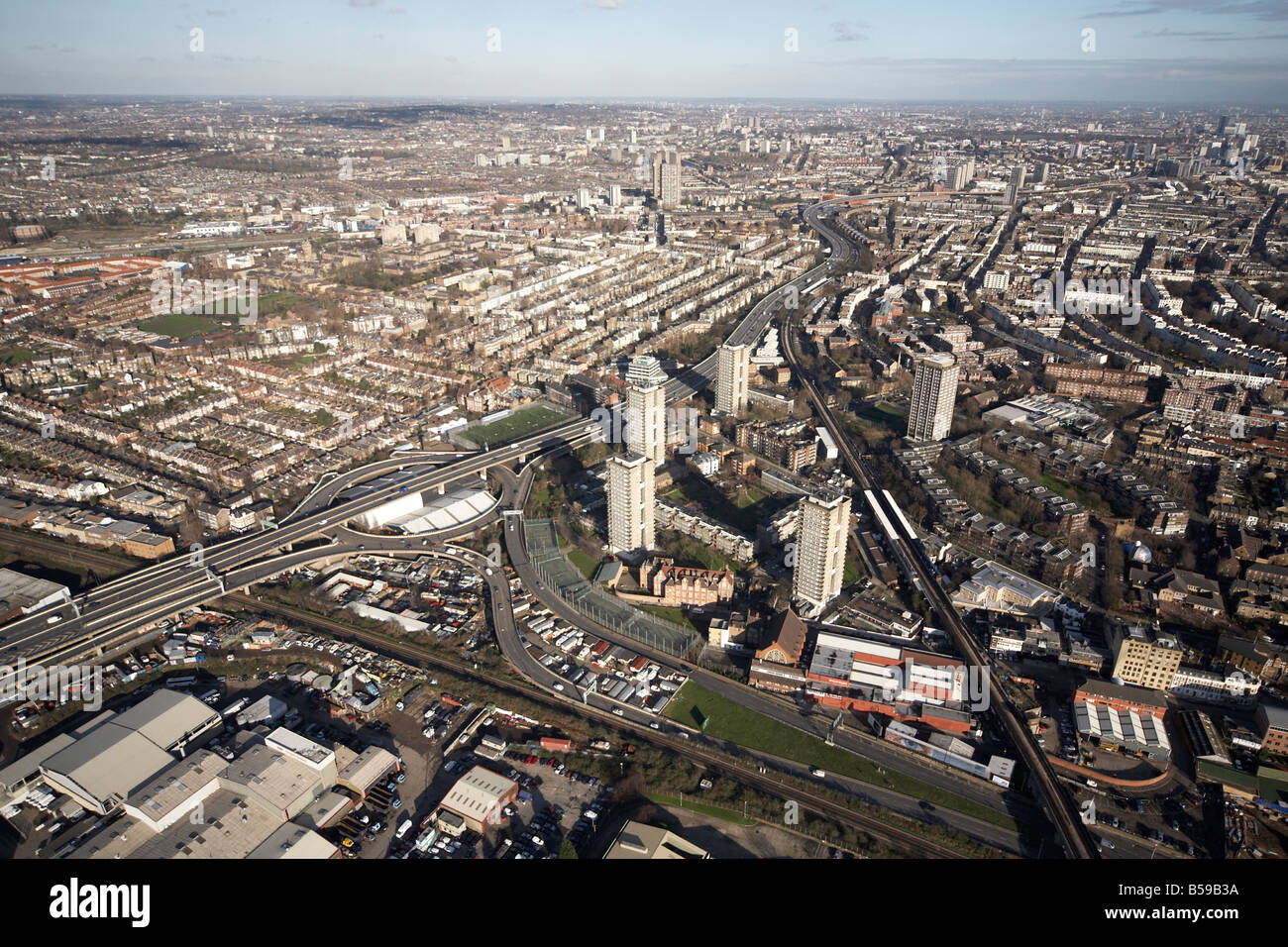 Luftbild Norden östlich von Westway A40 M West Cross Strecke Bahnstrecke s beherbergt Hochhäusern Lager London W10 W11 W12 Stockfotohttps://www.alamy.de/image-license-details/?v=1https://www.alamy.de/stockfoto-luftbild-norden-ostlich-von-westway-a40-m-west-cross-strecke-bahnstrecke-s-beherbergt-hochhausern-lager-london-w10-w11-w12-20489934.html
RMB59B3A–Luftbild Norden östlich von Westway A40 M West Cross Strecke Bahnstrecke s beherbergt Hochhäusern Lager London W10 W11 W12
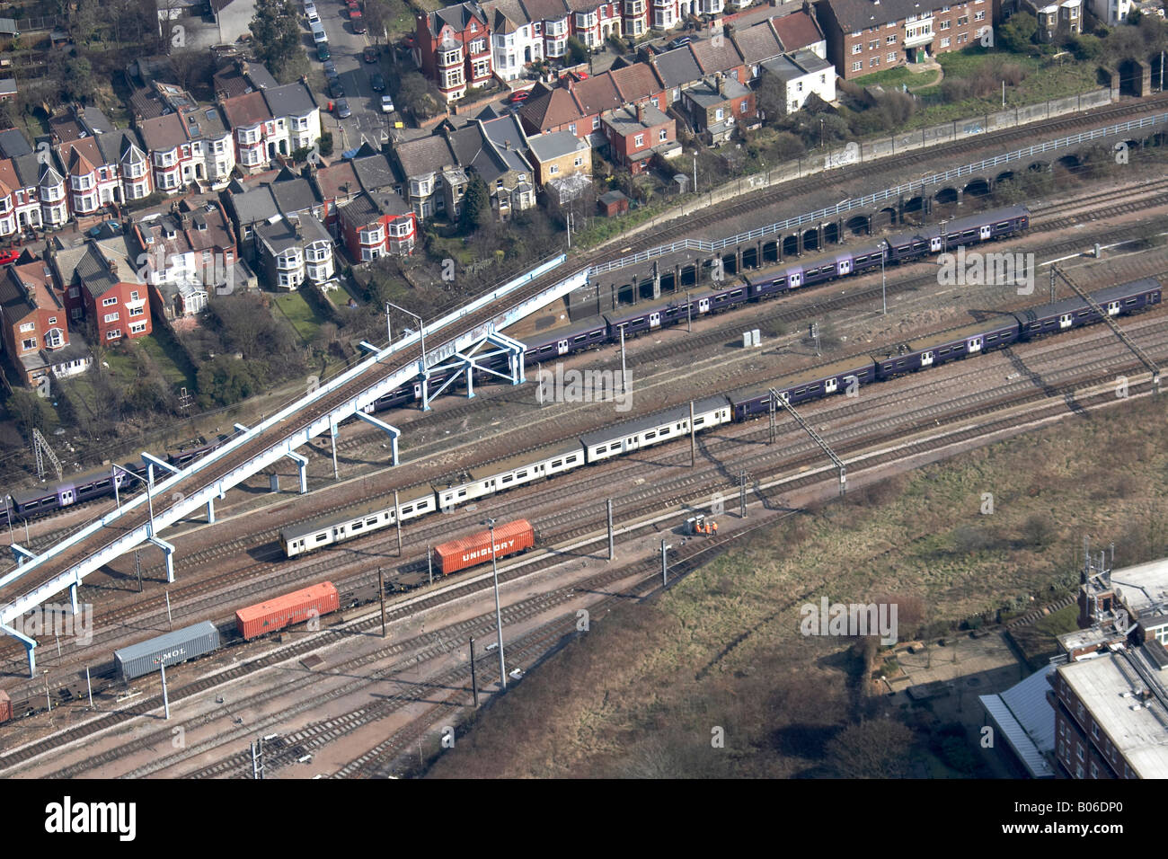 Luftbild Norden östlich der s-Bahnlinien beherbergt London England UK hohe schräg Stockfotohttps://www.alamy.de/image-license-details/?v=1https://www.alamy.de/stockfoto-luftbild-norden-ostlich-der-s-bahnlinien-beherbergt-london-england-uk-hohe-schrag-17352888.html
RMB06DP0–Luftbild Norden östlich der s-Bahnlinien beherbergt London England UK hohe schräg
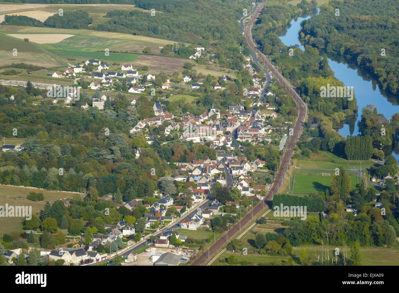 Chisseaux Dorf im Tal Loire, Frankreich aus der Luft Stockfotohttps://www.alamy.de/image-license-details/?v=1https://www.alamy.de/stockfoto-chisseaux-dorf-im-tal-loire-frankreich-aus-der-luft-80483881.html
RMEJXA09–Chisseaux Dorf im Tal Loire, Frankreich aus der Luft
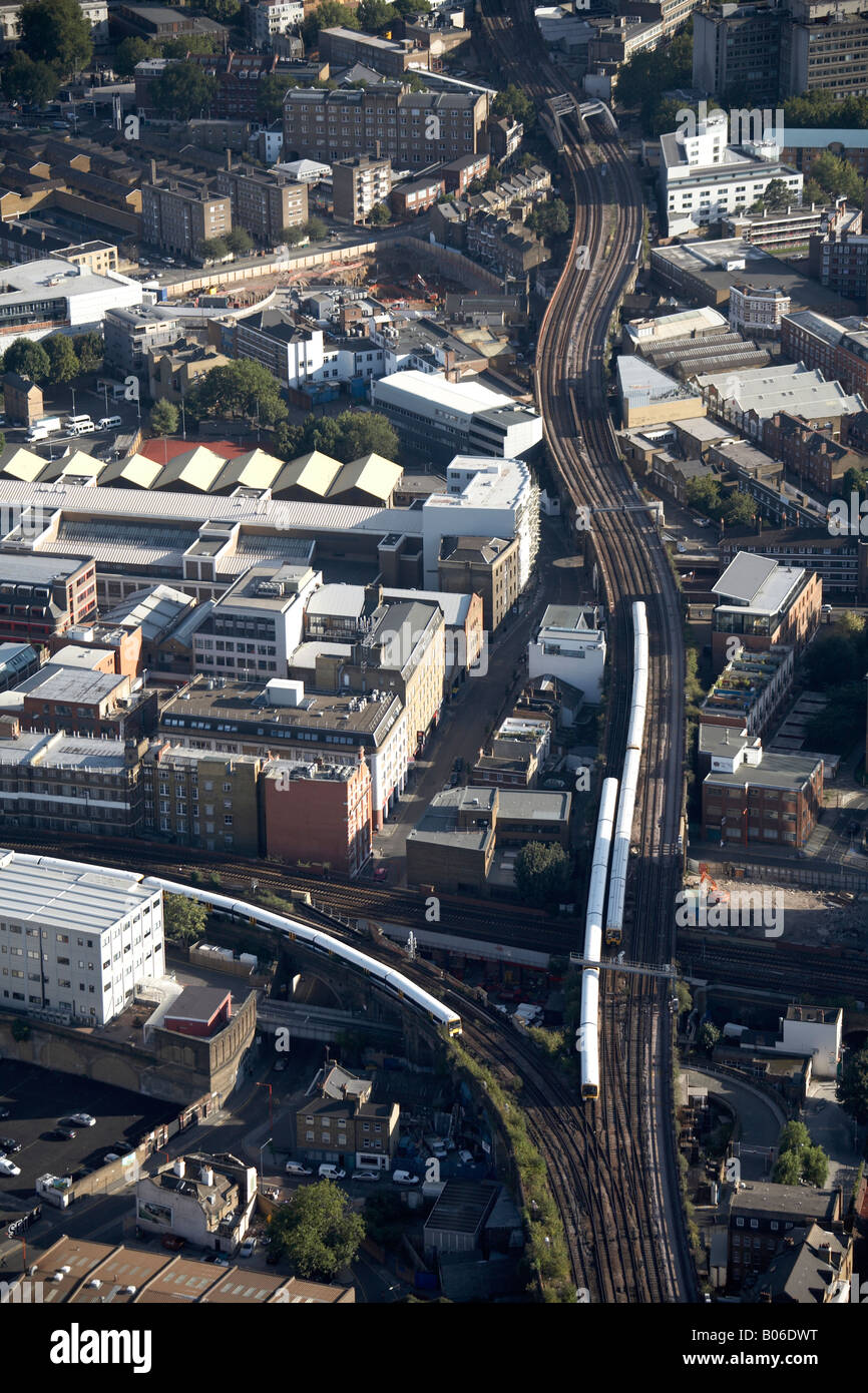 Luftbild Südosten Linie Kreuzung Bahnbau arbeiten Southark Bridge Road, London SE1 England UK Stockfotohttps://www.alamy.de/image-license-details/?v=1https://www.alamy.de/stockfoto-luftbild-sudosten-linie-kreuzung-bahnbau-arbeiten-southark-bridge-road-london-se1-england-uk-17352996.html
RMB06DWT–Luftbild Südosten Linie Kreuzung Bahnbau arbeiten Southark Bridge Road, London SE1 England UK
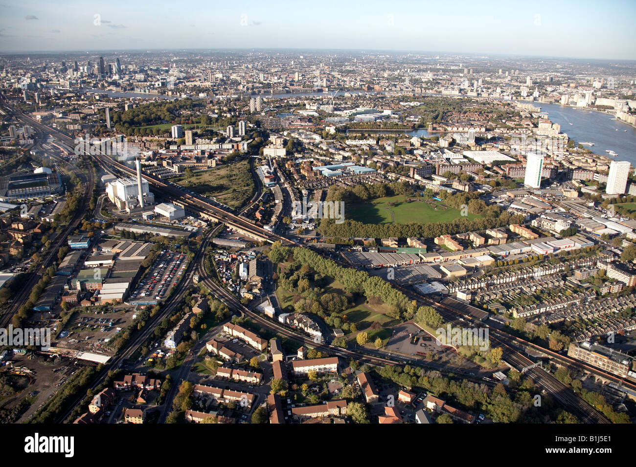 Luftbild Norden westlich von Orion Businesscenter Eisenbahnlinie Deptford Park Rotherhithe Fluss Themse London SE16 SE14 UK Stockfotohttps://www.alamy.de/image-license-details/?v=1https://www.alamy.de/stockfoto-luftbild-norden-westlich-von-orion-businesscenter-eisenbahnlinie-deptford-park-rotherhithe-fluss-themse-london-se16-se14-uk-18224473.html
RMB1J5E1–Luftbild Norden westlich von Orion Businesscenter Eisenbahnlinie Deptford Park Rotherhithe Fluss Themse London SE16 SE14 UK
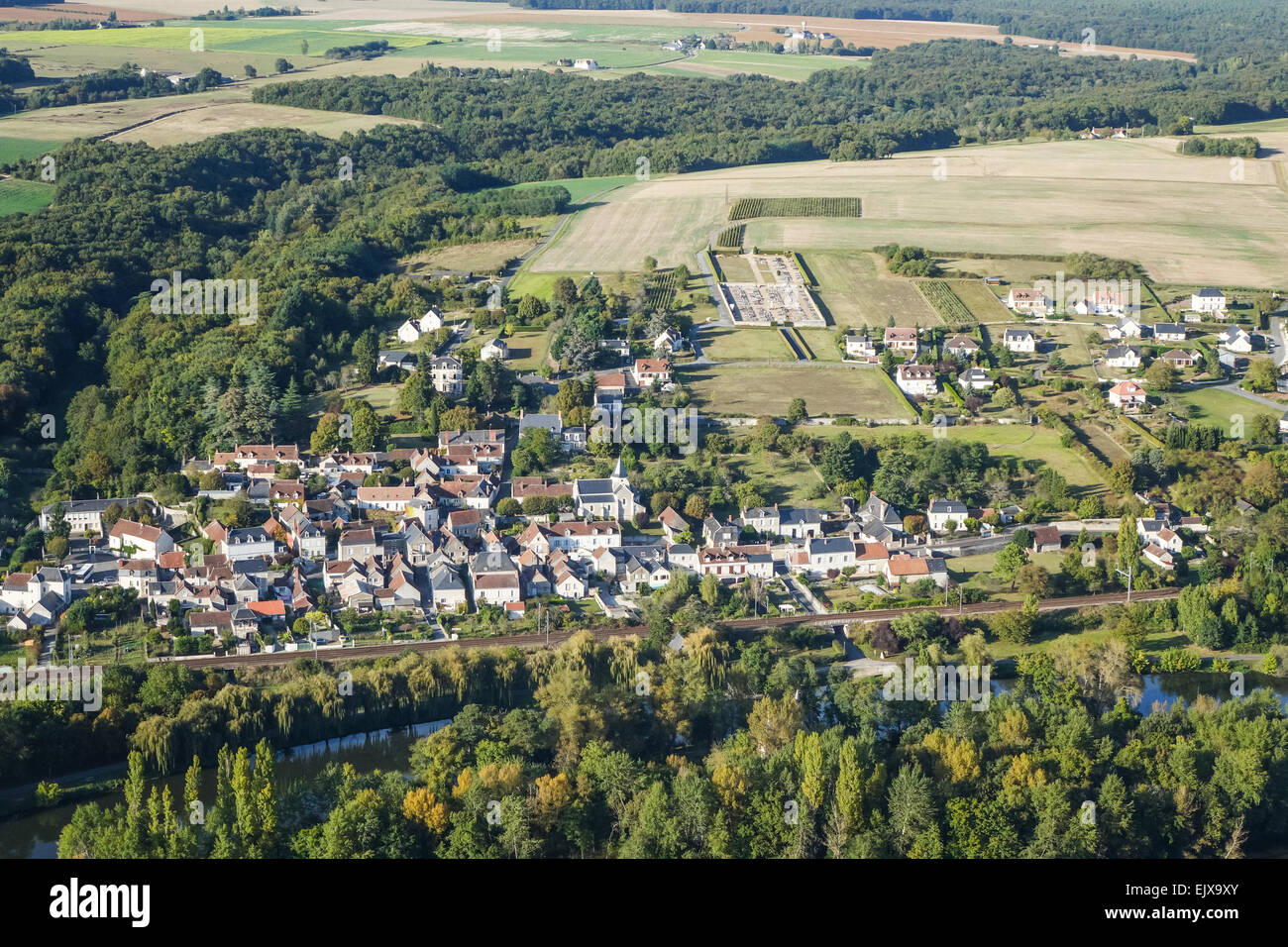 Chisseaux Dorf im Tal Loire, Frankreich aus der Luft Stockfotohttps://www.alamy.de/image-license-details/?v=1https://www.alamy.de/stockfoto-chisseaux-dorf-im-tal-loire-frankreich-aus-der-luft-80483843.html
RMEJX9XY–Chisseaux Dorf im Tal Loire, Frankreich aus der Luft
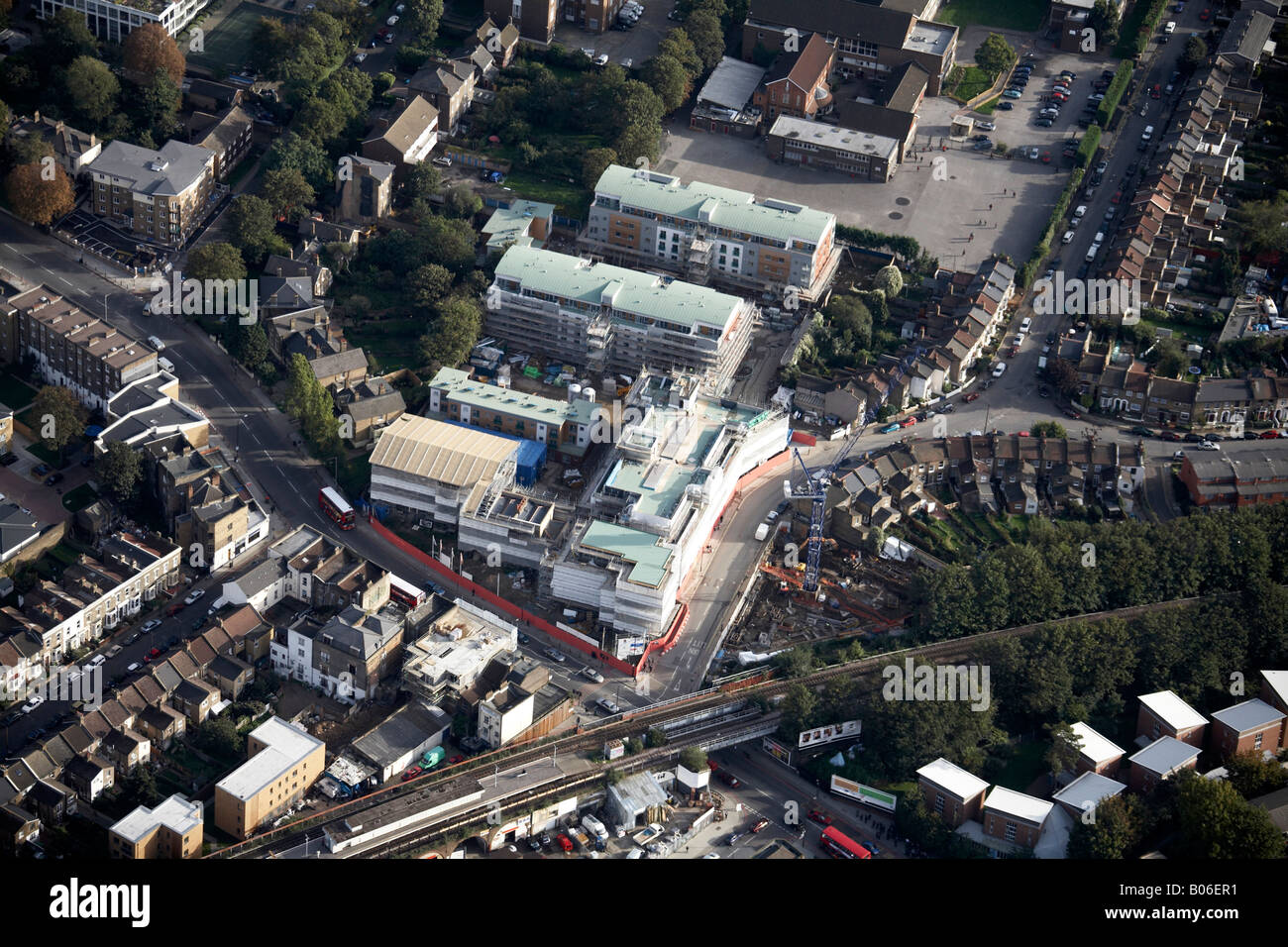 Luftbild Südosten Queens Road Train Station Bahnlinie s beherbergt Geschäfte Peckham London SE15 England UK Stockfotohttps://www.alamy.de/image-license-details/?v=1https://www.alamy.de/stockfoto-luftbild-sudosten-queens-road-train-station-bahnlinie-s-beherbergt-geschafte-peckham-london-se15-england-uk-17353701.html
RMB06ER1–Luftbild Südosten Queens Road Train Station Bahnlinie s beherbergt Geschäfte Peckham London SE15 England UK
 Luftbild Süd-westlich von Kentish Town Industrial Estate Eisenbahnlinie und s Gehäuse London NW5 England UK Stockfotohttps://www.alamy.de/image-license-details/?v=1https://www.alamy.de/stockfoto-luftbild-sud-westlich-von-kentish-town-industrial-estate-eisenbahnlinie-und-s-gehause-london-nw5-england-uk-17352950.html
RMB06DT6–Luftbild Süd-westlich von Kentish Town Industrial Estate Eisenbahnlinie und s Gehäuse London NW5 England UK
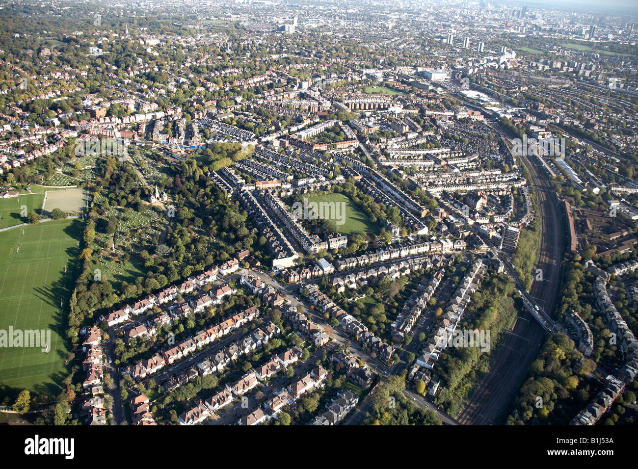 Luftbild Norden östlich Hampstead Cemetery-Bahnlinie s Gehäuse Fortune Green West Hampstead London NW3 NW6 UK Stockfotohttps://www.alamy.de/image-license-details/?v=1https://www.alamy.de/stockfoto-luftbild-norden-ostlich-hampstead-cemetery-bahnlinie-s-gehause-fortune-green-west-hampstead-london-nw3-nw6-uk-18224174.html
RMB1J53A–Luftbild Norden östlich Hampstead Cemetery-Bahnlinie s Gehäuse Fortune Green West Hampstead London NW3 NW6 UK
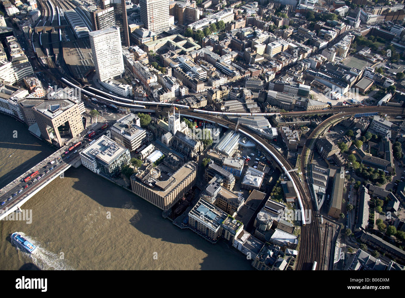 Luftbild Südosten Linie Eisenbahnknoten London Bridge Station Themse Vorstadt beherbergt Hochhäusern The Borough SE1 Stockfotohttps://www.alamy.de/image-license-details/?v=1https://www.alamy.de/stockfoto-luftbild-sudosten-linie-eisenbahnknoten-london-bridge-station-themse-vorstadt-beherbergt-hochhausern-the-borough-se1-17353020.html
RMB06DXM–Luftbild Südosten Linie Eisenbahnknoten London Bridge Station Themse Vorstadt beherbergt Hochhäusern The Borough SE1
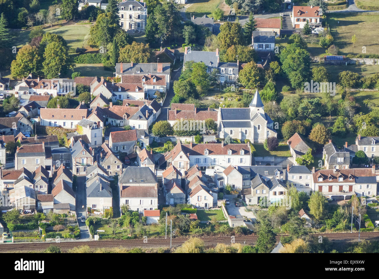 Chisseaux Dorf im Tal Loire, Frankreich aus der Luft Stockfotohttps://www.alamy.de/image-license-details/?v=1https://www.alamy.de/stockfoto-chisseaux-dorf-im-tal-loire-frankreich-aus-der-luft-80483841.html
RMEJX9XW–Chisseaux Dorf im Tal Loire, Frankreich aus der Luft
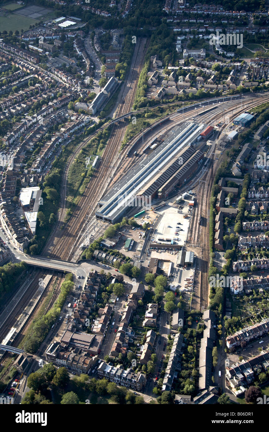 Luftbild Norden westlich von Alexandra Palace Station Bahnbetriebswerk und s Gehäuse Holz grün London N22 England UK Stockfotohttps://www.alamy.de/image-license-details/?v=1https://www.alamy.de/stockfoto-luftbild-norden-westlich-von-alexandra-palace-station-bahnbetriebswerk-und-s-gehause-holz-grun-london-n22-england-uk-17352917.html
RMB06DR1–Luftbild Norden westlich von Alexandra Palace Station Bahnbetriebswerk und s Gehäuse Holz grün London N22 England UK
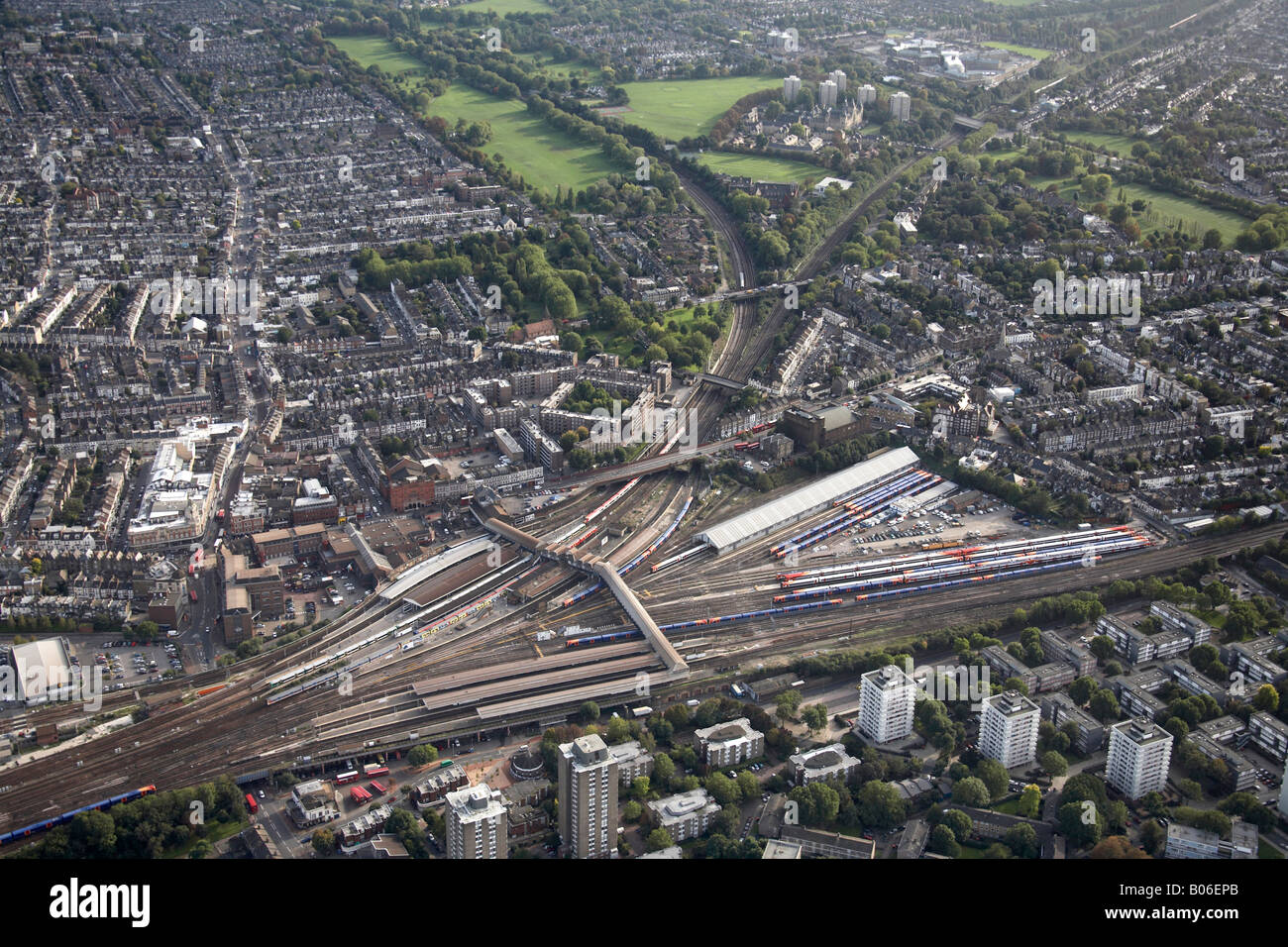 Luftbild westlich von Clapham Junction Railway lines Wandsworth Common St Marys Friedhof Battersea steigen London SW11 SW18 England Stockfotohttps://www.alamy.de/image-license-details/?v=1https://www.alamy.de/stockfoto-luftbild-westlich-von-clapham-junction-railway-lines-wandsworth-common-st-marys-friedhof-battersea-steigen-london-sw11-sw18-england-17353683.html
RMB06EPB–Luftbild westlich von Clapham Junction Railway lines Wandsworth Common St Marys Friedhof Battersea steigen London SW11 SW18 England
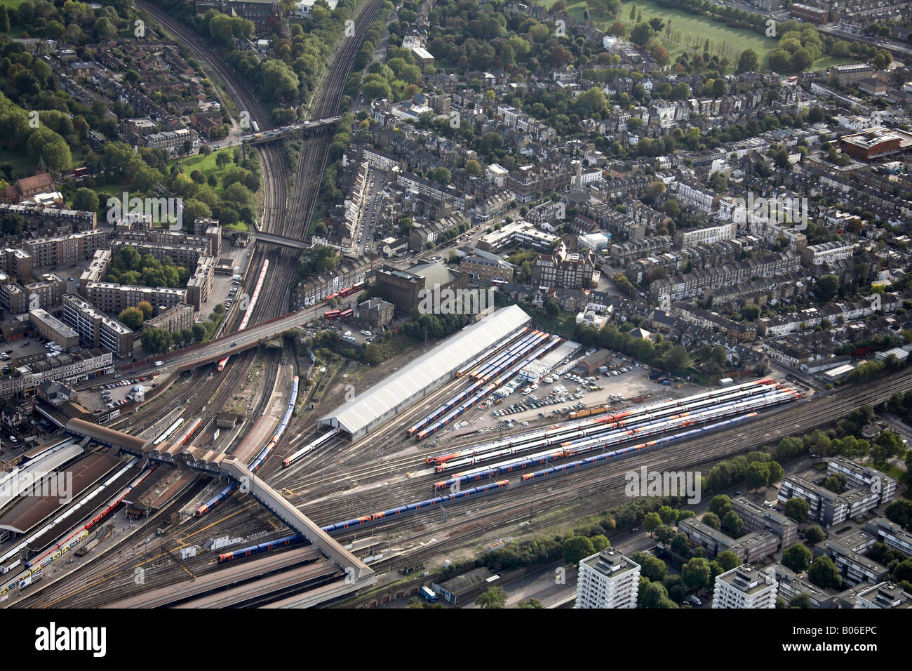 Luftbild südwestlich von Clapham Junction-Bahn-Linien s beherbergt Hochhäusern Battersea steigen London SW11 SW18 England UK Stockfotohttps://www.alamy.de/image-license-details/?v=1https://www.alamy.de/stockfoto-luftbild-sudwestlich-von-clapham-junction-bahn-linien-s-beherbergt-hochhausern-battersea-steigen-london-sw11-sw18-england-uk-17353684.html
RMB06EPC–Luftbild südwestlich von Clapham Junction-Bahn-Linien s beherbergt Hochhäusern Battersea steigen London SW11 SW18 England UK
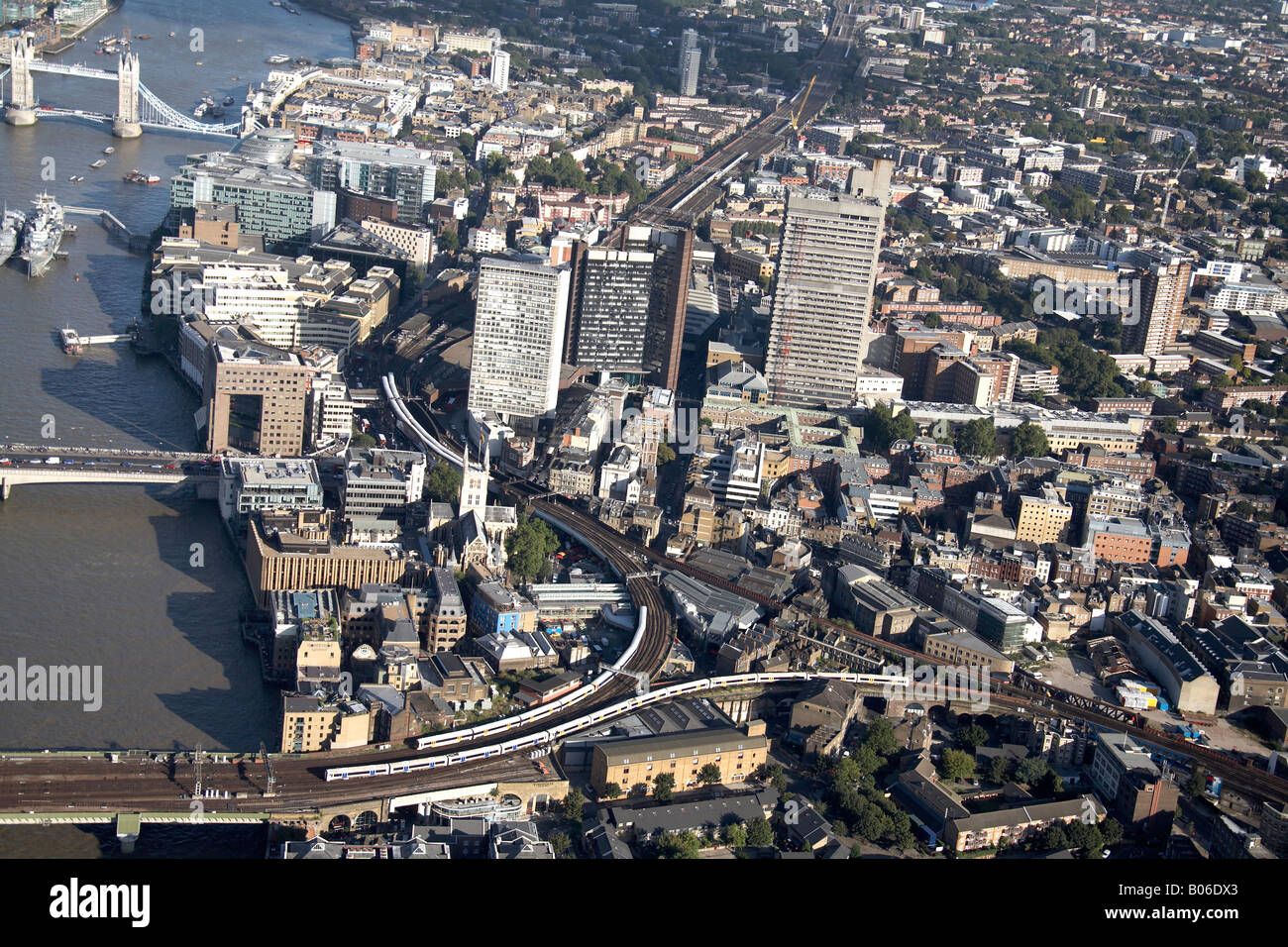 Luftbild Südosten Linie Eisenbahnknotenpunkt Vorstadt beherbergt Hochhäusern London Bridge River Thames The Borough London SE1 U Stockfotohttps://www.alamy.de/image-license-details/?v=1https://www.alamy.de/stockfoto-luftbild-sudosten-linie-eisenbahnknotenpunkt-vorstadt-beherbergt-hochhausern-london-bridge-river-thames-the-borough-london-se1-u-17353003.html
RMB06DX3–Luftbild Südosten Linie Eisenbahnknotenpunkt Vorstadt beherbergt Hochhäusern London Bridge River Thames The Borough London SE1 U
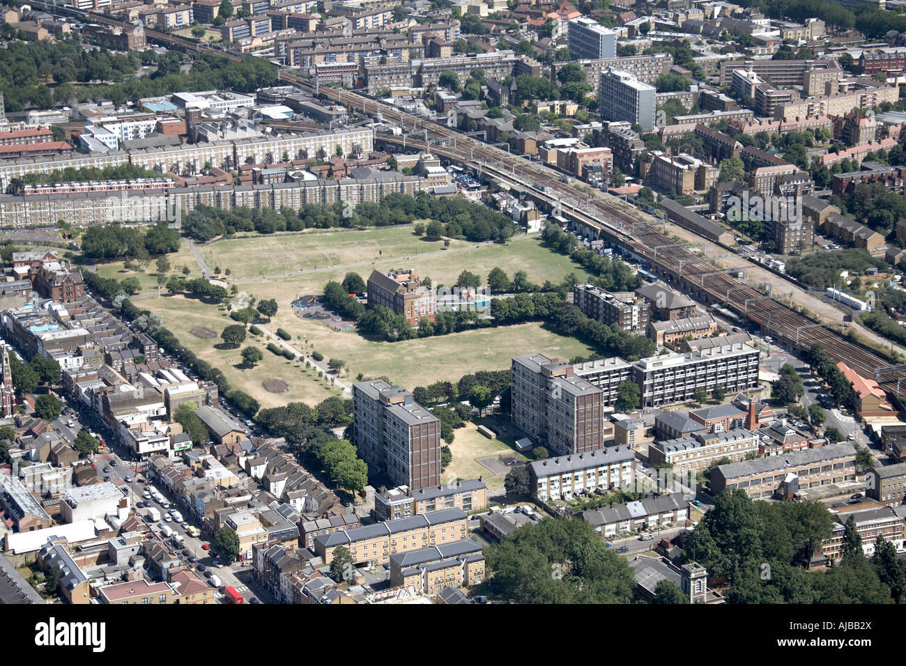 Luftbild südöstlich von Bethnal Green Bahnhof urban Gehäuse Tower Hamlets London E2 England UK hohe schräg Stockfotohttps://www.alamy.de/image-license-details/?v=1https://www.alamy.de/stockfoto-luftbild-sudostlich-von-bethnal-green-bahnhof-urban-gehause-tower-hamlets-london-e2-england-uk-hohe-schrag-14683345.html
RMAJBB2X–Luftbild südöstlich von Bethnal Green Bahnhof urban Gehäuse Tower Hamlets London E2 England UK hohe schräg
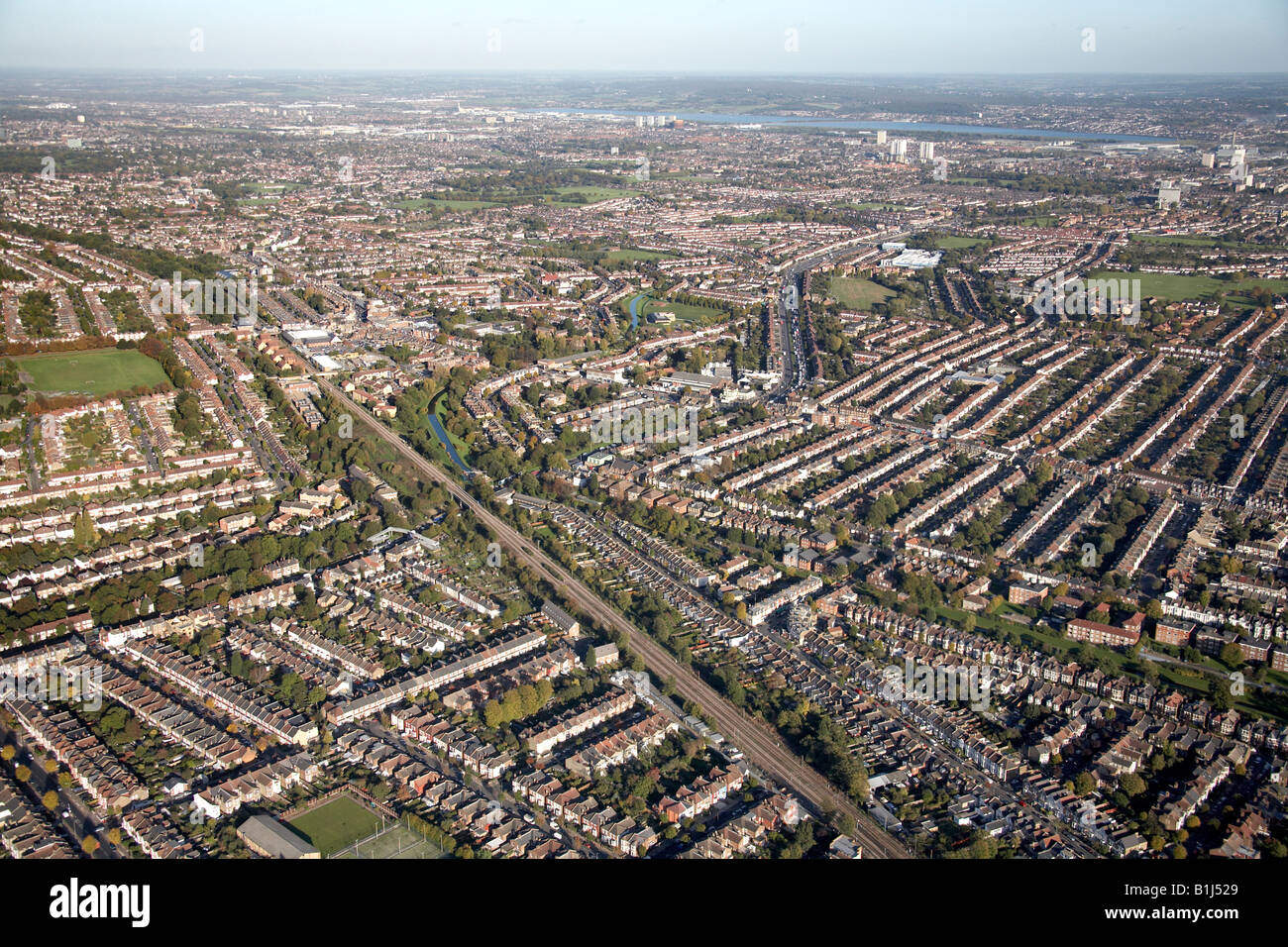 Luftbild Norden östlich der Bahnlinie Broomfield Park Sportplatz New River s beherbergt Bowes Park London N13 England UK Stockfotohttps://www.alamy.de/image-license-details/?v=1https://www.alamy.de/stockfoto-luftbild-norden-ostlich-der-bahnlinie-broomfield-park-sportplatz-new-river-s-beherbergt-bowes-park-london-n13-england-uk-18224145.html
RMB1J529–Luftbild Norden östlich der Bahnlinie Broomfield Park Sportplatz New River s beherbergt Bowes Park London N13 England UK
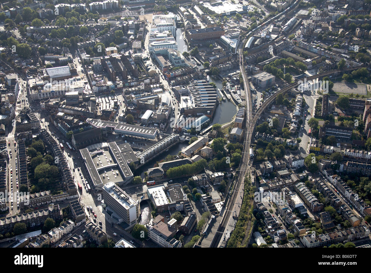 Luftbild Südwesten Camden Railway Station Grand Union Canal Lock und High Street London NW1 England UK Stockfotohttps://www.alamy.de/image-license-details/?v=1https://www.alamy.de/stockfoto-luftbild-sudwesten-camden-railway-station-grand-union-canal-lock-und-high-street-london-nw1-england-uk-17352951.html
RMB06DT7–Luftbild Südwesten Camden Railway Station Grand Union Canal Lock und High Street London NW1 England UK
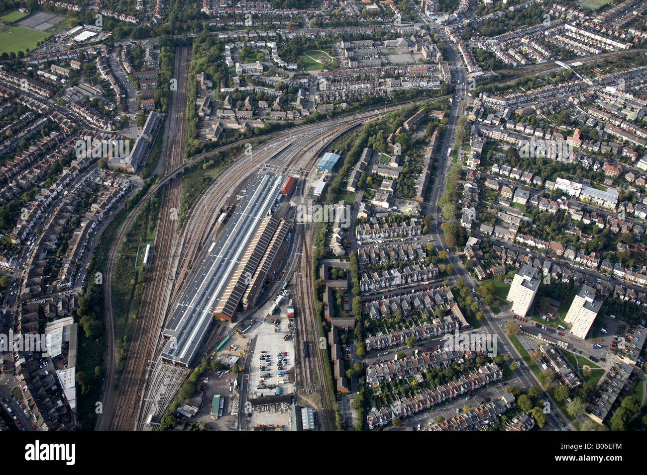 Luftbild Norden Linien westlich von Bounds Green Train Depot Eisenbahn Vorstadthäuser und Hochhäusern Bounds Green Rd London N22 N11 Stockfotohttps://www.alamy.de/image-license-details/?v=1https://www.alamy.de/stockfoto-luftbild-norden-linien-westlich-von-bounds-green-train-depot-eisenbahn-vorstadthauser-und-hochhausern-bounds-green-rd-london-n22-n11-17353496.html
RMB06EFM–Luftbild Norden Linien westlich von Bounds Green Train Depot Eisenbahn Vorstadthäuser und Hochhäusern Bounds Green Rd London N22 N11
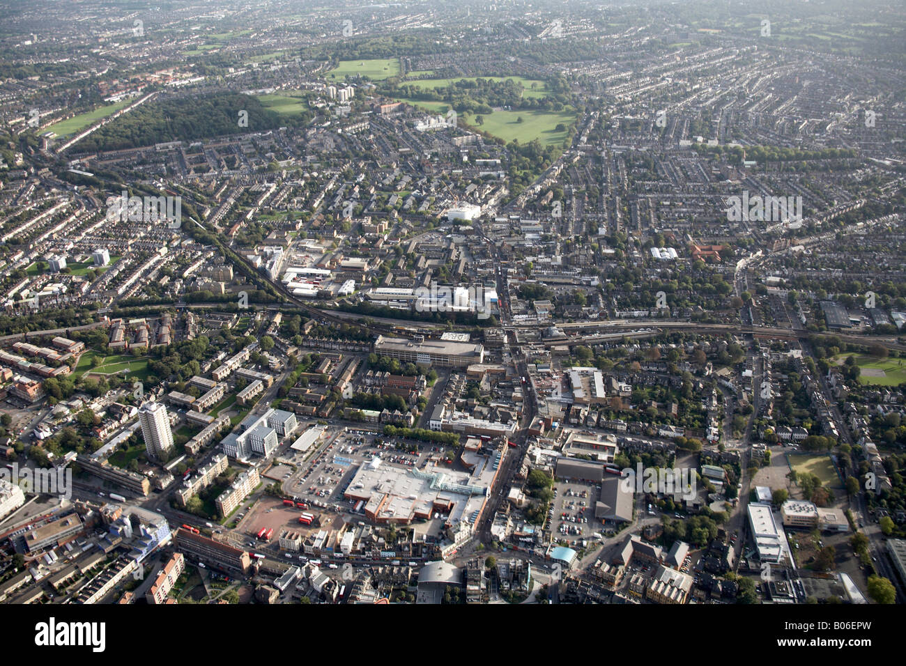 Luftbild südöstlich von Peckham Bus Bahnhof Peckham Rye gemeinsame Bahnlinien s beherbergt Hochhäusern London SE15 SE22 UK Stockfotohttps://www.alamy.de/image-license-details/?v=1https://www.alamy.de/stockfoto-luftbild-sudostlich-von-peckham-bus-bahnhof-peckham-rye-gemeinsame-bahnlinien-s-beherbergt-hochhausern-london-se15-se22-uk-17353697.html
RMB06EPW–Luftbild südöstlich von Peckham Bus Bahnhof Peckham Rye gemeinsame Bahnlinien s beherbergt Hochhäusern London SE15 SE22 UK
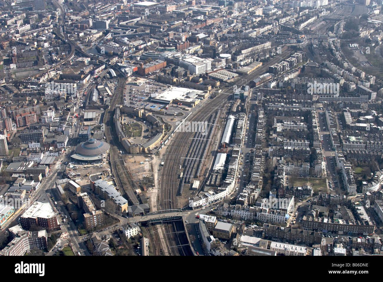 Luftbild östlich von Juniper Crescent umliegenden städtischen Häuser oberirdischen Bahnhof Linie Camden London NW1 England UK hohe Stufe ü Stockfotohttps://www.alamy.de/image-license-details/?v=1https://www.alamy.de/stockfoto-luftbild-ostlich-von-juniper-crescent-umliegenden-stadtischen-hauser-oberirdischen-bahnhof-linie-camden-london-nw1-england-uk-hohe-stufe-u-17352874.html
RMB06DNE–Luftbild östlich von Juniper Crescent umliegenden städtischen Häuser oberirdischen Bahnhof Linie Camden London NW1 England UK hohe Stufe ü
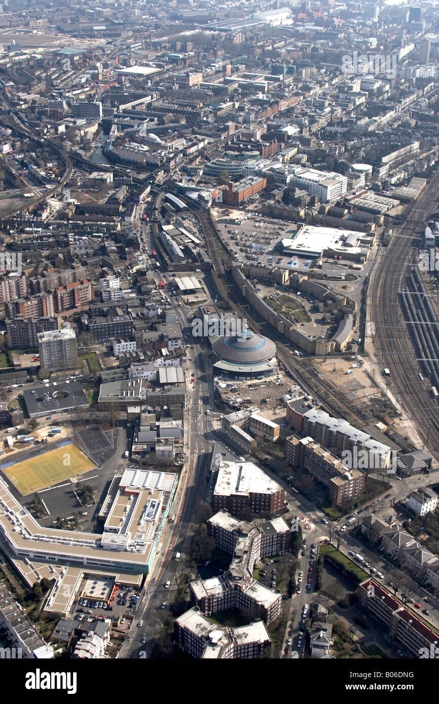 Luftbild südöstlich von Juniper Crescent umliegenden städtischen Häuser oberirdischen Bahnhof Linie Camden London NW1 England UK hoch le Stockfotohttps://www.alamy.de/image-license-details/?v=1https://www.alamy.de/stockfoto-luftbild-sudostlich-von-juniper-crescent-umliegenden-stadtischen-hauser-oberirdischen-bahnhof-linie-camden-london-nw1-england-uk-hoch-le-17352876.html
RMB06DNG–Luftbild südöstlich von Juniper Crescent umliegenden städtischen Häuser oberirdischen Bahnhof Linie Camden London NW1 England UK hoch le
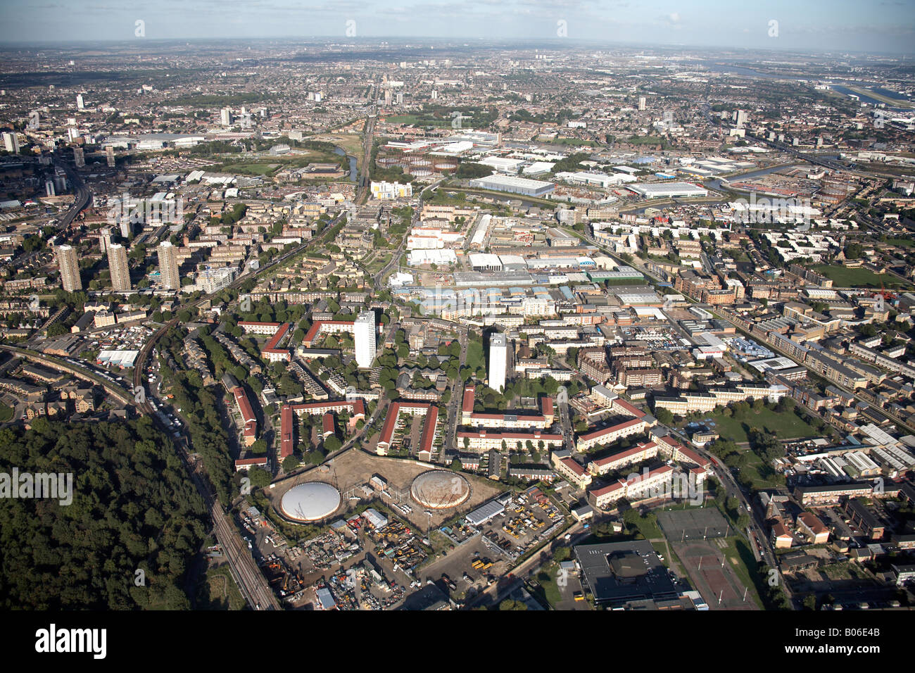 Luftbild Nord-Ost der Vorstadtgehäuse tower Blöcke DLR Bahnstrecken Bogen Dreieck Business Centre Limehouse schneiden Bromley Lon Stockfotohttps://www.alamy.de/image-license-details/?v=1https://www.alamy.de/stockfoto-luftbild-nord-ost-der-vorstadtgehause-tower-blocke-dlr-bahnstrecken-bogen-dreieck-business-centre-limehouse-schneiden-bromley-lon-17353179.html
RMB06E4B–Luftbild Nord-Ost der Vorstadtgehäuse tower Blöcke DLR Bahnstrecken Bogen Dreieck Business Centre Limehouse schneiden Bromley Lon
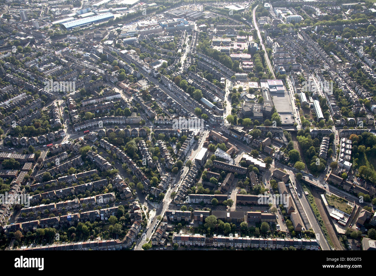 Luftbild Süd-westlich von Kentish Town Industrial Estate Eisenbahn Linien A400 Straße und s Gehäuse London NW5 N19 N7 England Stockfotohttps://www.alamy.de/image-license-details/?v=1https://www.alamy.de/stockfoto-luftbild-sud-westlich-von-kentish-town-industrial-estate-eisenbahn-linien-a400-strasse-und-s-gehause-london-nw5-n19-n7-england-17352949.html
RMB06DT5–Luftbild Süd-westlich von Kentish Town Industrial Estate Eisenbahn Linien A400 Straße und s Gehäuse London NW5 N19 N7 England
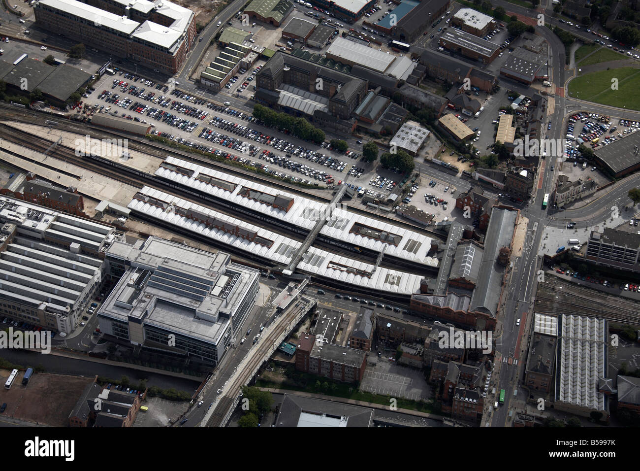 Luftbild südöstlich von Nottingham Bahnhof Parkplatz Station Street Carrington Street NG1England UK hohe schräg Stockfotohttps://www.alamy.de/image-license-details/?v=1https://www.alamy.de/stockfoto-luftbild-sudostlich-von-nottingham-bahnhof-parkplatz-station-street-carrington-street-ng1england-uk-hohe-schrag-20488487.html
RMB5997K–Luftbild südöstlich von Nottingham Bahnhof Parkplatz Station Street Carrington Street NG1England UK hohe schräg
 Luftbild Norden westlich von Nottingham Bahnhof Station Carrington Street Street und Queen s Road NG2 England UK hohe Stockfotohttps://www.alamy.de/image-license-details/?v=1https://www.alamy.de/stockfoto-luftbild-norden-westlich-von-nottingham-bahnhof-station-carrington-street-street-und-queen-s-road-ng2-england-uk-hohe-20488507.html
RMB5998B–Luftbild Norden westlich von Nottingham Bahnhof Station Carrington Street Street und Queen s Road NG2 England UK hohe
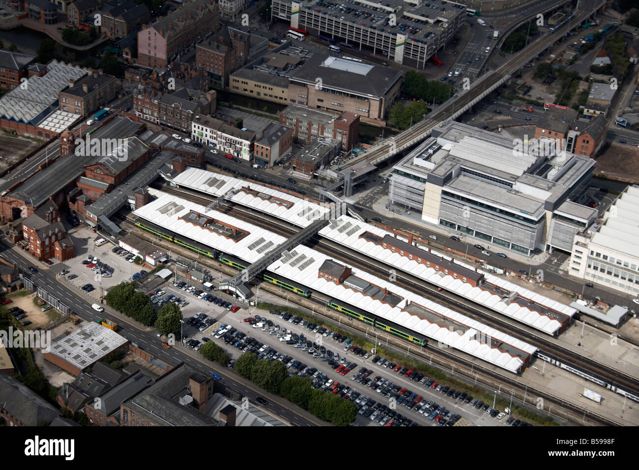 Luftbild Norden westlich von Nottingham Bahnhof Station Carrington Street Street und Queen s Road NG2 England UK hohe Stockfotohttps://www.alamy.de/image-license-details/?v=1https://www.alamy.de/stockfoto-luftbild-norden-westlich-von-nottingham-bahnhof-station-carrington-street-street-und-queen-s-road-ng2-england-uk-hohe-20488511.html
RMB5998F–Luftbild Norden westlich von Nottingham Bahnhof Station Carrington Street Street und Queen s Road NG2 England UK hohe
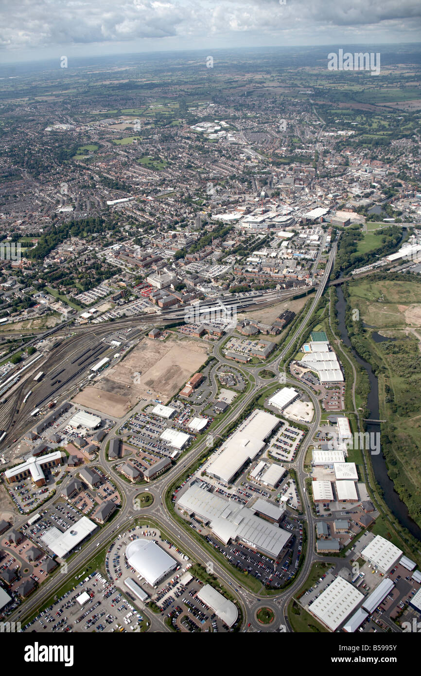 Luftbild, Nord-westlich von Derby Bahnhof Depot Industriepark s Pride Parkway River Derwent DE99 England U Häuser Stockfotohttps://www.alamy.de/image-license-details/?v=1https://www.alamy.de/stockfoto-luftbild-nord-westlich-von-derby-bahnhof-depot-industriepark-s-pride-parkway-river-derwent-de99-england-u-hauser-20488439.html
RMB5995Y–Luftbild, Nord-westlich von Derby Bahnhof Depot Industriepark s Pride Parkway River Derwent DE99 England U Häuser
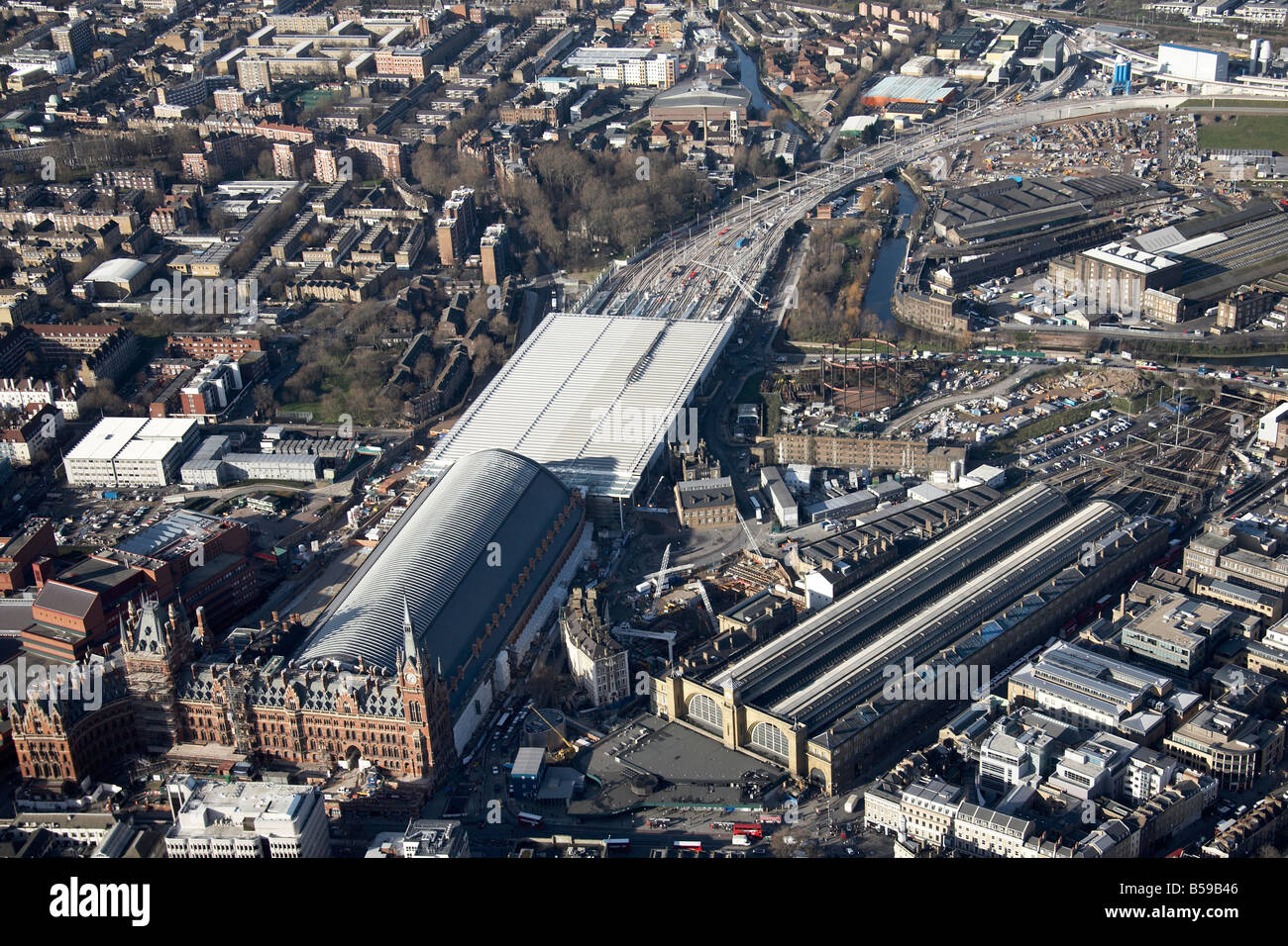 Luftbild Norden westlich von King s Cross St Pancras Bahnhof Stationen British Library innerstädtischen Gebäude Hochhäuser Somers Town Stockfotohttps://www.alamy.de/image-license-details/?v=1https://www.alamy.de/stockfoto-luftbild-norden-westlich-von-king-s-cross-st-pancras-bahnhof-stationen-british-library-innerstadtischen-gebaude-hochhauser-somers-town-20489958.html
RMB59B46–Luftbild Norden westlich von King s Cross St Pancras Bahnhof Stationen British Library innerstädtischen Gebäude Hochhäuser Somers Town
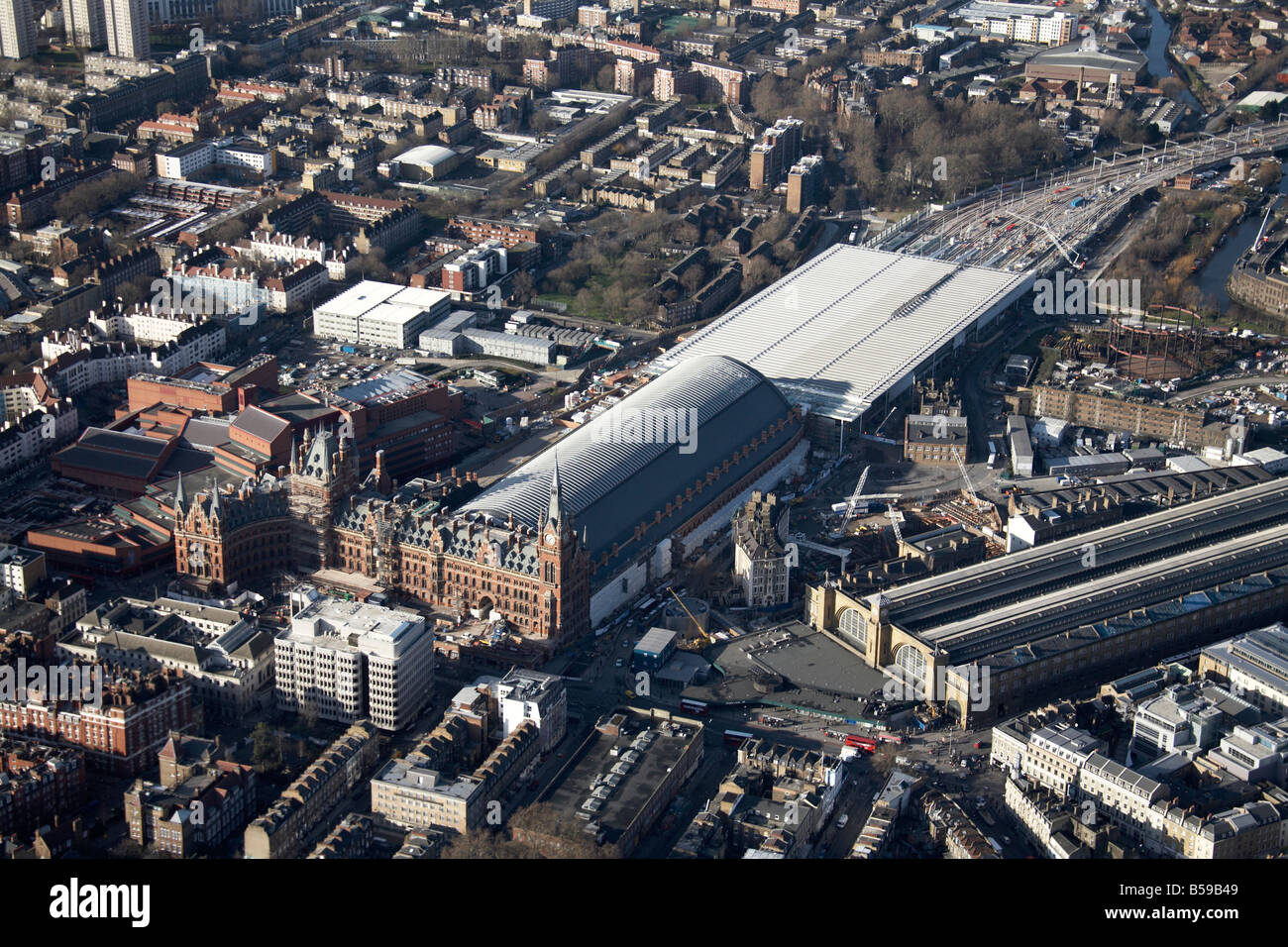 Luftbild Norden westlich von King s Cross St Pancras Bahnhof Stationen British Library innerstädtischen Gebäude Hochhäuser Somers Town Stockfotohttps://www.alamy.de/image-license-details/?v=1https://www.alamy.de/stockfoto-luftbild-norden-westlich-von-king-s-cross-st-pancras-bahnhof-stationen-british-library-innerstadtischen-gebaude-hochhauser-somers-town-20489961.html
RMB59B49–Luftbild Norden westlich von King s Cross St Pancras Bahnhof Stationen British Library innerstädtischen Gebäude Hochhäuser Somers Town
 Antenne anzeigen Nord östlich von British Library King s Cross St Pancras Bahnhof Bahnhöfe Euston Rd innerstädtischen Gebäude London NW1 N1 Stockfotohttps://www.alamy.de/image-license-details/?v=1https://www.alamy.de/stockfoto-antenne-anzeigen-nord-ostlich-von-british-library-king-s-cross-st-pancras-bahnhof-bahnhofe-euston-rd-innerstadtischen-gebaude-london-nw1-n1-20489988.html
RMB59B58–Antenne anzeigen Nord östlich von British Library King s Cross St Pancras Bahnhof Bahnhöfe Euston Rd innerstädtischen Gebäude London NW1 N1
 Antenne anzeigen Süden östlich von British Library King s Cross St Pancras Bahnhof Bahnhöfe Euston Rd innerstädtischen Gebäude London NW1 WC1 Stockfotohttps://www.alamy.de/image-license-details/?v=1https://www.alamy.de/stockfoto-antenne-anzeigen-suden-ostlich-von-british-library-king-s-cross-st-pancras-bahnhof-bahnhofe-euston-rd-innerstadtischen-gebaude-london-nw1-wc1-20489983.html
RMB59B53–Antenne anzeigen Süden östlich von British Library King s Cross St Pancras Bahnhof Bahnhöfe Euston Rd innerstädtischen Gebäude London NW1 WC1
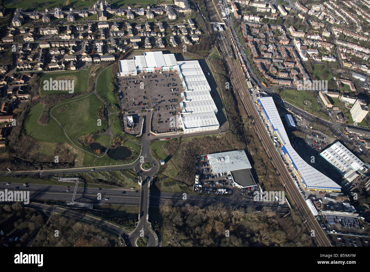 Luftbild Norden westlich von Friern Brücke Retail Park Depot Eisenbahnlinie Pinkham Weg A406 Vorstadt beherbergt neue Southgate London N11 Stockfotohttps://www.alamy.de/image-license-details/?v=1https://www.alamy.de/stockfoto-luftbild-norden-westlich-von-friern-brucke-retail-park-depot-eisenbahnlinie-pinkham-weg-a406-vorstadt-beherbergt-neue-southgate-london-n11-20489837.html
RMB59AYW–Luftbild Norden westlich von Friern Brücke Retail Park Depot Eisenbahnlinie Pinkham Weg A406 Vorstadt beherbergt neue Southgate London N11
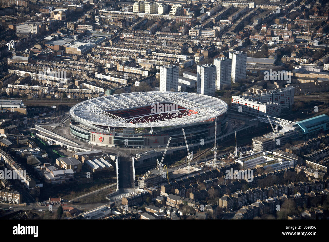 Aerail Ansicht Nord westlich von Emirates Stadion Arsenal Football Club-Bahn-Linien s beherbergt Hochhäusern Drayton Park London Stockfotohttps://www.alamy.de/image-license-details/?v=1https://www.alamy.de/stockfoto-aerail-ansicht-nord-westlich-von-emirates-stadion-arsenal-football-club-bahn-linien-s-beherbergt-hochhausern-drayton-park-london-20489992.html
RMB59B5C–Aerail Ansicht Nord westlich von Emirates Stadion Arsenal Football Club-Bahn-Linien s beherbergt Hochhäusern Drayton Park London
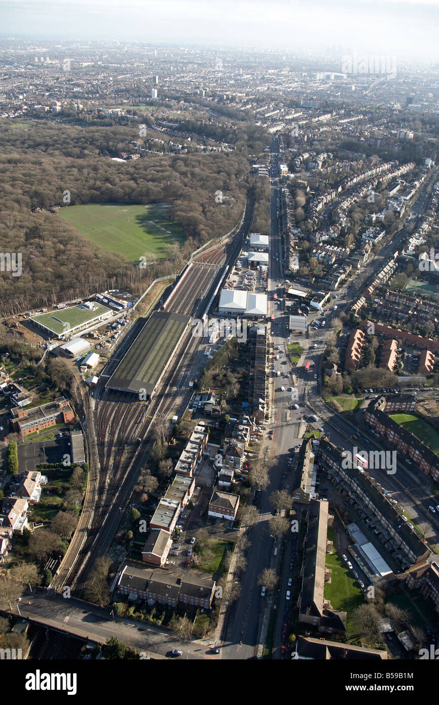 Luftbild südöstlich von Stormont Lawn Tennis Squash Club Linie Bahnbetriebswerk Highgate Holz Torbogen Straße s beherbergt London Stockfotohttps://www.alamy.de/image-license-details/?v=1https://www.alamy.de/stockfoto-luftbild-sudostlich-von-stormont-lawn-tennis-squash-club-linie-bahnbetriebswerk-highgate-holz-torbogen-strasse-s-beherbergt-london-20489888.html
RMB59B1M–Luftbild südöstlich von Stormont Lawn Tennis Squash Club Linie Bahnbetriebswerk Highgate Holz Torbogen Straße s beherbergt London
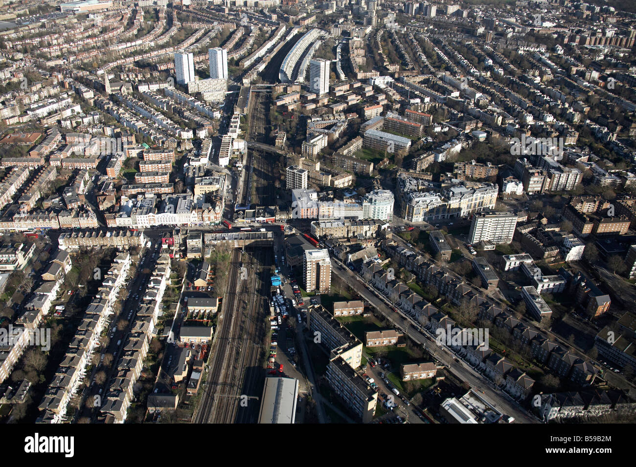 Luftbild Norden östlich von Kilburn High Road Priory Road Geschäfte Vorstadt beherbergt Hochhäusern Bahnstrecke London NW6 NW8 England Stockfotohttps://www.alamy.de/image-license-details/?v=1https://www.alamy.de/stockfoto-luftbild-norden-ostlich-von-kilburn-high-road-priory-road-geschafte-vorstadt-beherbergt-hochhausern-bahnstrecke-london-nw6-nw8-england-20489916.html
RMB59B2M–Luftbild Norden östlich von Kilburn High Road Priory Road Geschäfte Vorstadt beherbergt Hochhäusern Bahnstrecke London NW6 NW8 England
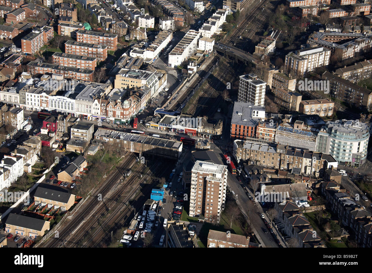 Luftbild Norden östlich von Kilburn High Road Cambridge Avenue Geschäfte Vorstadt beherbergt Hochhäusern Bahnstrecke London NW6 NW8 UK Stockfotohttps://www.alamy.de/image-license-details/?v=1https://www.alamy.de/stockfoto-luftbild-norden-ostlich-von-kilburn-high-road-cambridge-avenue-geschafte-vorstadt-beherbergt-hochhausern-bahnstrecke-london-nw6-nw8-uk-20489920.html
RMB59B2T–Luftbild Norden östlich von Kilburn High Road Cambridge Avenue Geschäfte Vorstadt beherbergt Hochhäusern Bahnstrecke London NW6 NW8 UK
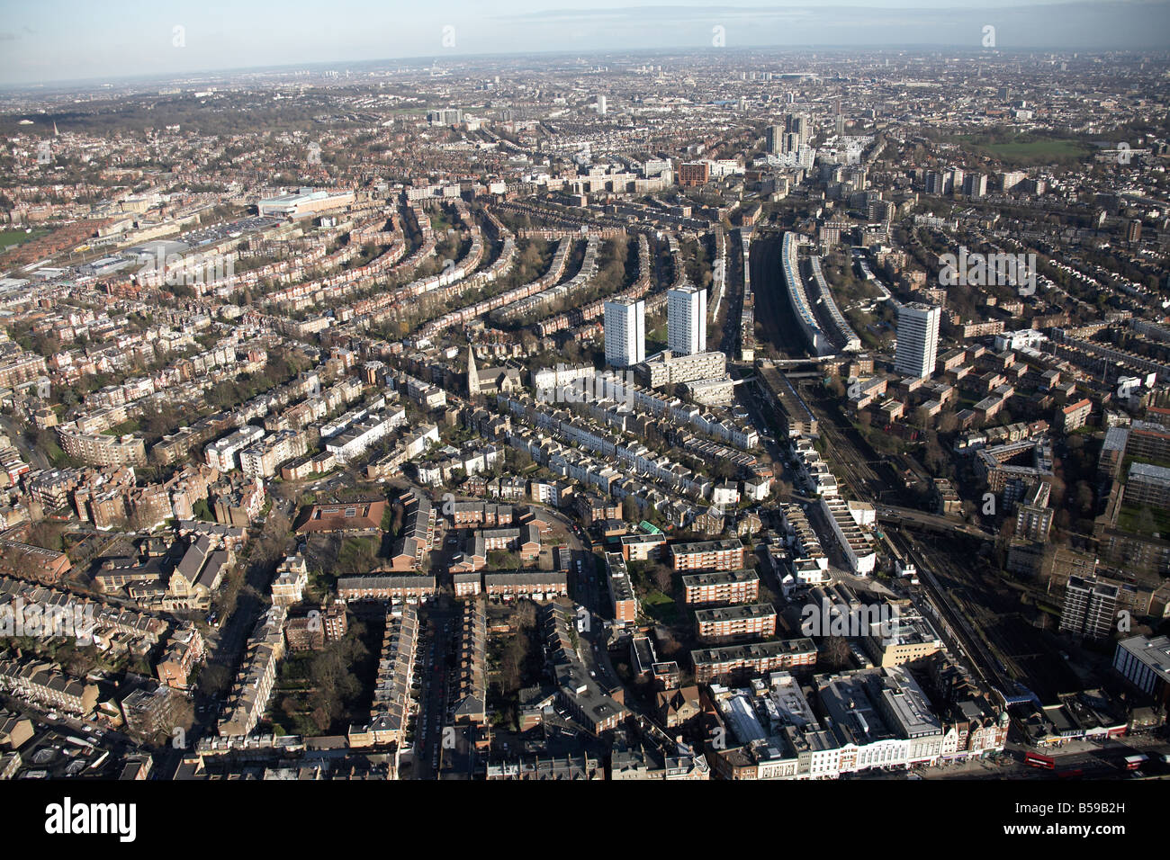 Luftbild Norden östlich von Kilburn High Road Priory Road Geschäfte Vorstadt beherbergt Hochhäusern Bahnstrecke London NW6 NW8 England U Stockfotohttps://www.alamy.de/image-license-details/?v=1https://www.alamy.de/stockfoto-luftbild-norden-ostlich-von-kilburn-high-road-priory-road-geschafte-vorstadt-beherbergt-hochhausern-bahnstrecke-london-nw6-nw8-england-u-20489913.html
RMB59B2H–Luftbild Norden östlich von Kilburn High Road Priory Road Geschäfte Vorstadt beherbergt Hochhäusern Bahnstrecke London NW6 NW8 England U
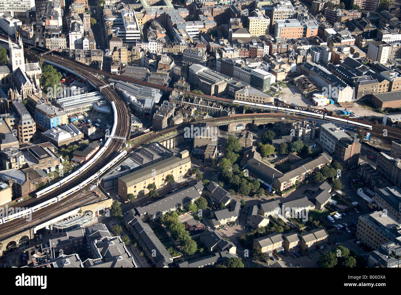 Luftbild Südosten Linie Eisenbahnknotenpunkt Vorstadt beherbergt Southwark Kathedrale The Borough London SE1 UK Stockfotohttps://www.alamy.de/image-license-details/?v=1https://www.alamy.de/stockfoto-luftbild-sudosten-linie-eisenbahnknotenpunkt-vorstadt-beherbergt-southwark-kathedrale-the-borough-london-se1-uk-17353010.html
RMB06DXA–Luftbild Südosten Linie Eisenbahnknotenpunkt Vorstadt beherbergt Southwark Kathedrale The Borough London SE1 UK
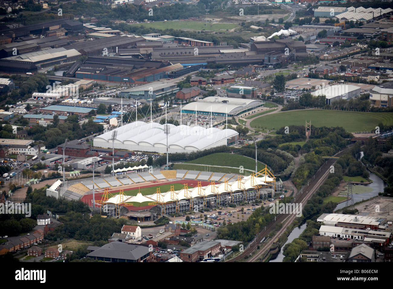 Luftbild nördlich von Don Valley Stadium Gewerbegebiete Bahnstrecke Sheffield S9 South Yorkshire Stockfotohttps://www.alamy.de/image-license-details/?v=1https://www.alamy.de/stockfoto-luftbild-nordlich-von-don-valley-stadium-gewerbegebiete-bahnstrecke-sheffield-s9-south-yorkshire-17353412.html
RMB06ECM–Luftbild nördlich von Don Valley Stadium Gewerbegebiete Bahnstrecke Sheffield S9 South Yorkshire
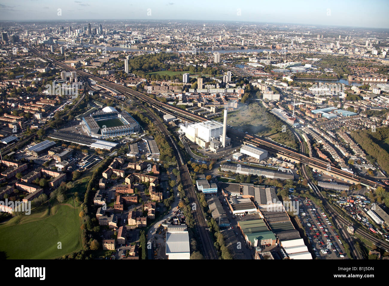 Luftbild nördlich von Millwall Football Ground Orion Businesscenter Line s Bahngebäude Rotherhithe Bermondsey Londo Stockfotohttps://www.alamy.de/image-license-details/?v=1https://www.alamy.de/stockfoto-luftbild-nordlich-von-millwall-football-ground-orion-businesscenter-line-s-bahngebaude-rotherhithe-bermondsey-londo-18224465.html
RMB1J5DN–Luftbild nördlich von Millwall Football Ground Orion Businesscenter Line s Bahngebäude Rotherhithe Bermondsey Londo
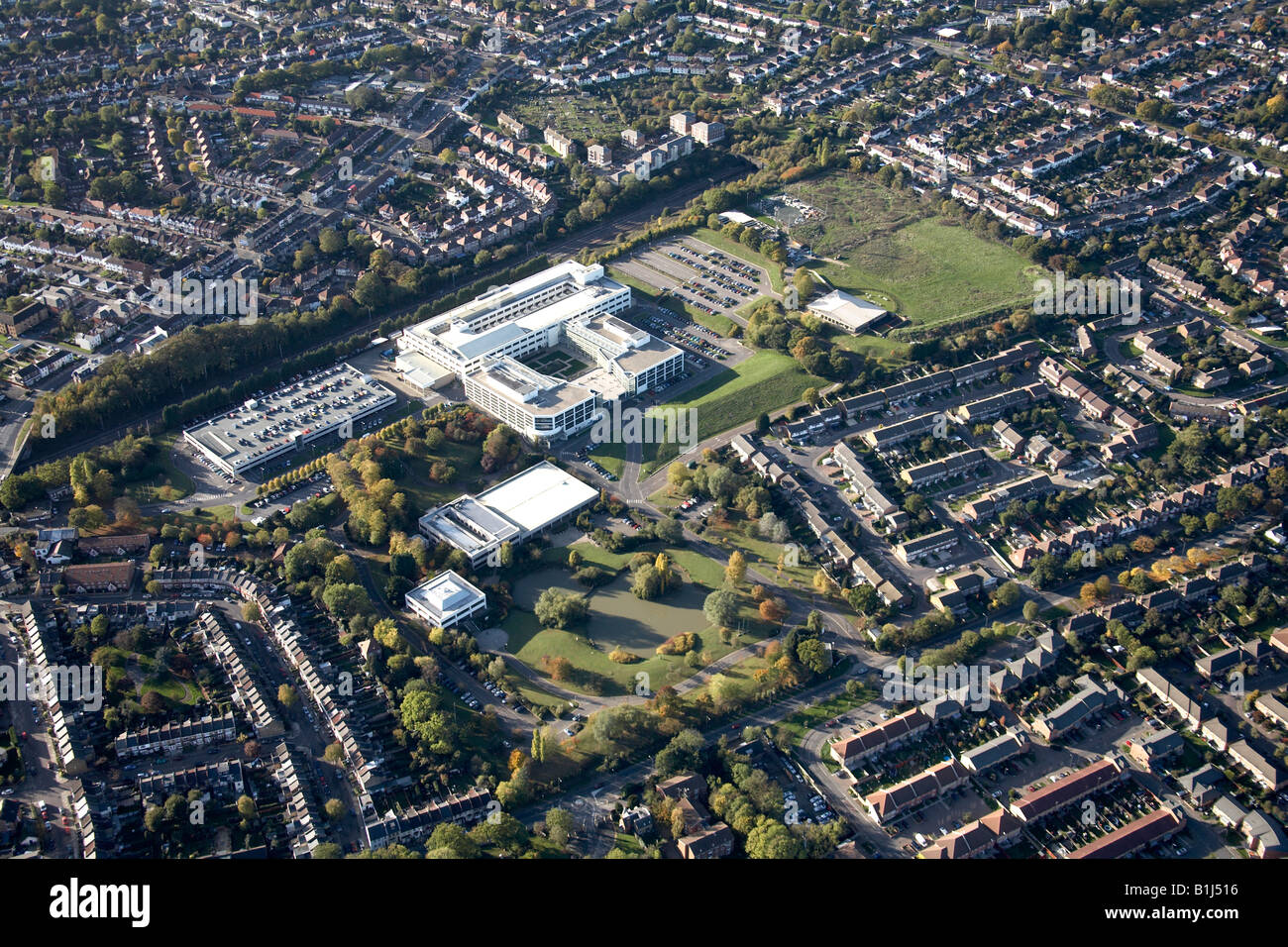 Luftbild westlich von suburban Wohnungswirtschaft Sportplatz Zentrum und Bahnhof Linie Braunschweig Park London N11 England UK Stockfotohttps://www.alamy.de/image-license-details/?v=1https://www.alamy.de/stockfoto-luftbild-westlich-von-suburban-wohnungswirtschaft-sportplatz-zentrum-und-bahnhof-linie-braunschweig-park-london-n11-england-uk-18224114.html
RMB1J516–Luftbild westlich von suburban Wohnungswirtschaft Sportplatz Zentrum und Bahnhof Linie Braunschweig Park London N11 England UK
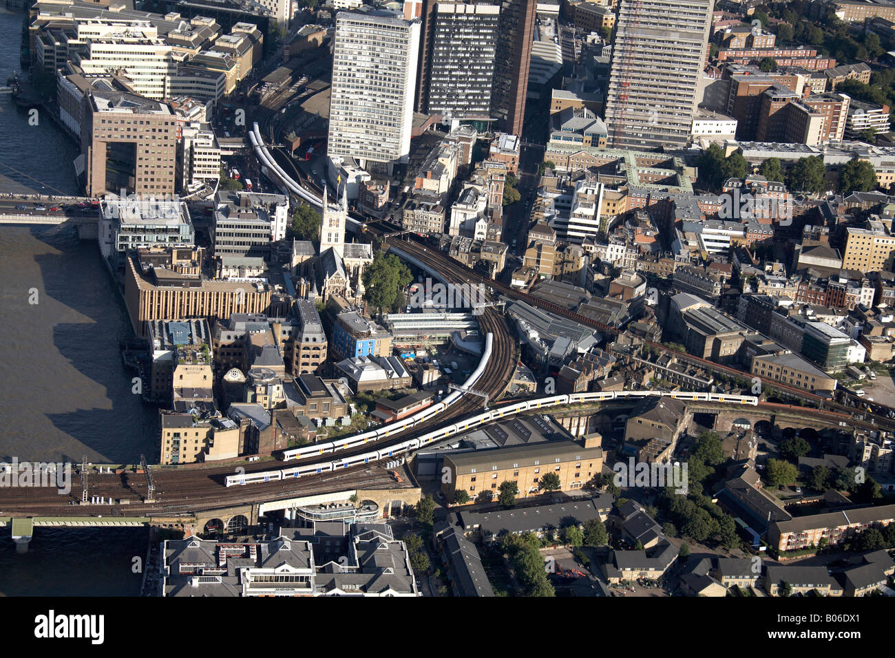 Luftbild Südosten Linie Eisenbahnknotenpunkt Vorstadt beherbergt Hochhäusern Southwark The Borough London SE1 England UK Stockfotohttps://www.alamy.de/image-license-details/?v=1https://www.alamy.de/stockfoto-luftbild-sudosten-linie-eisenbahnknotenpunkt-vorstadt-beherbergt-hochhausern-southwark-the-borough-london-se1-england-uk-17353001.html
RMB06DX1–Luftbild Südosten Linie Eisenbahnknotenpunkt Vorstadt beherbergt Hochhäusern Southwark The Borough London SE1 England UK
 Luftbild Süd-west beherbergt Luxus Wohnungen Büros Sumner Straße Bauarbeiten s Bahnlinie Southwark Londo Stockfotohttps://www.alamy.de/image-license-details/?v=1https://www.alamy.de/stockfoto-luftbild-sud-west-beherbergt-luxus-wohnungen-buros-sumner-strasse-bauarbeiten-s-bahnlinie-southwark-londo-17353014.html
RMB06DXE–Luftbild Süd-west beherbergt Luxus Wohnungen Büros Sumner Straße Bauarbeiten s Bahnlinie Southwark Londo
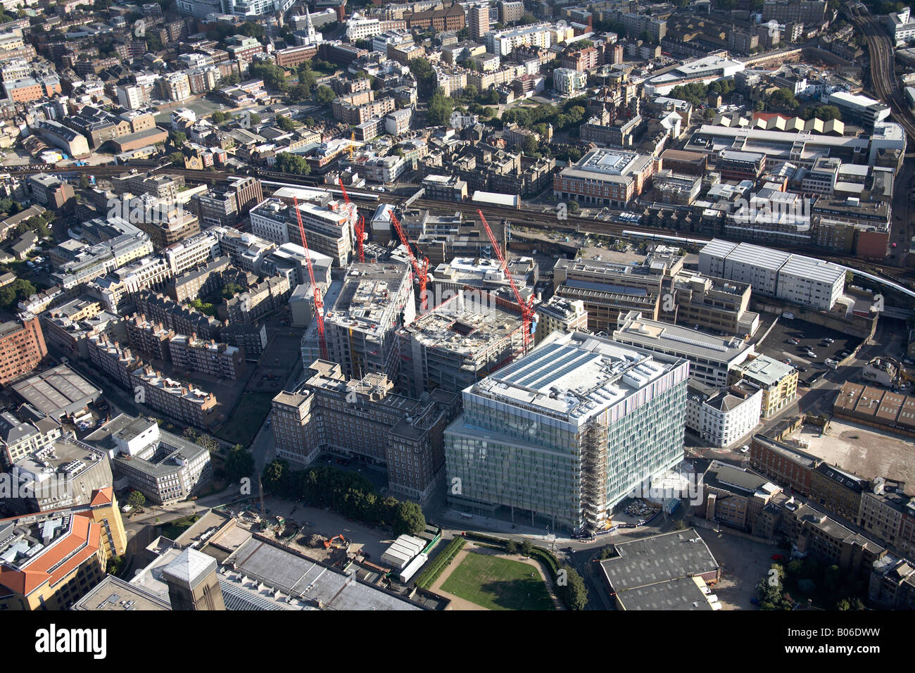 Luftbild Südosten Vorstadthäuser Luxus Wohnungen Büros Sumner Street Bau arbeiten Eisenbahnlinie Southwark Londo Stockfotohttps://www.alamy.de/image-license-details/?v=1https://www.alamy.de/stockfoto-luftbild-sudosten-vorstadthauser-luxus-wohnungen-buros-sumner-street-bau-arbeiten-eisenbahnlinie-southwark-londo-17352997.html
RMB06DWW–Luftbild Südosten Vorstadthäuser Luxus Wohnungen Büros Sumner Street Bau arbeiten Eisenbahnlinie Southwark Londo
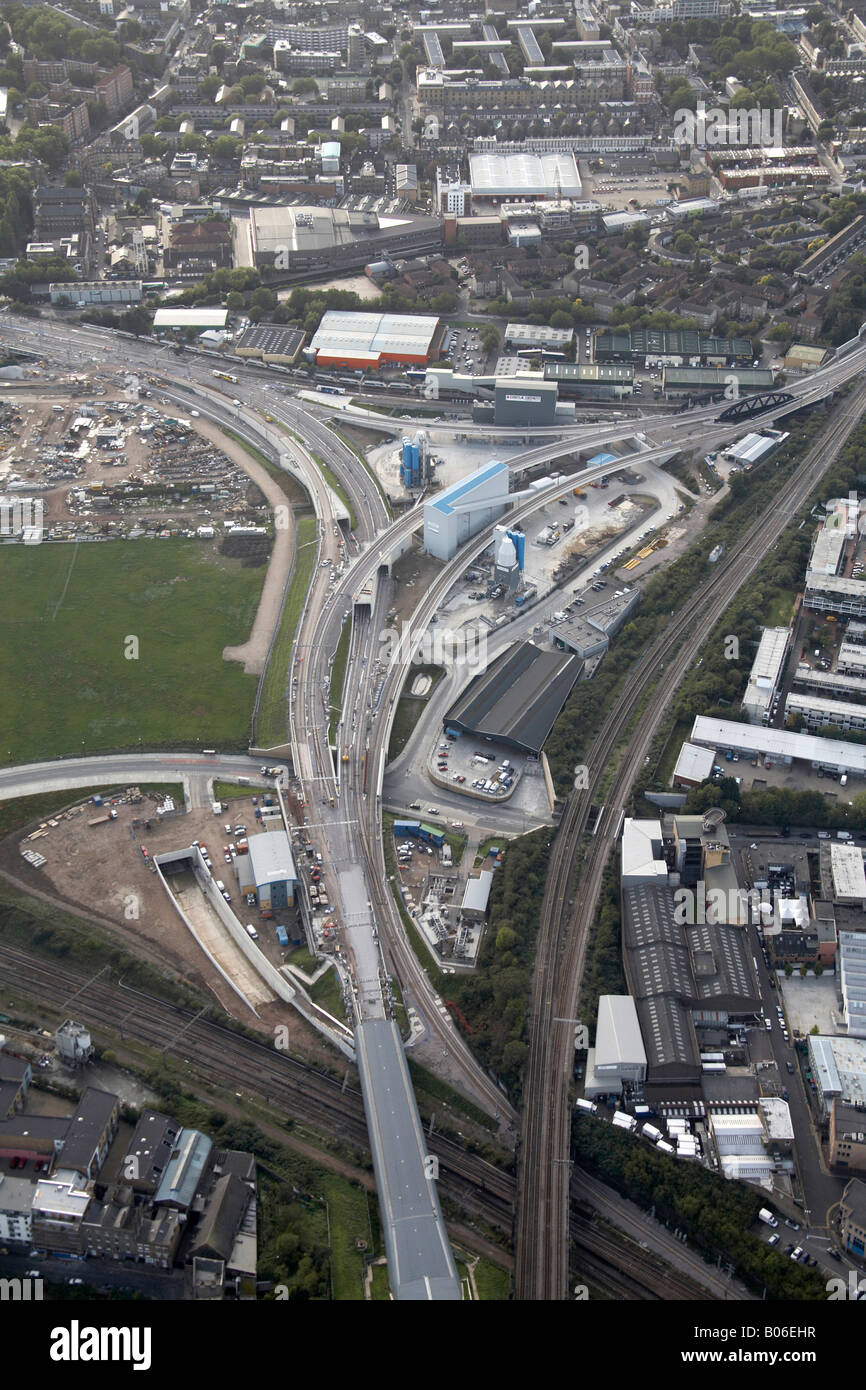 Antenne anzeigen Süden westlich von King s Cross Fracht- und Güterverkehr Liner Terminal Bahnhof Linie Bau Arbeit Eingang zum London Jed Stockfotohttps://www.alamy.de/image-license-details/?v=1https://www.alamy.de/stockfoto-antenne-anzeigen-suden-westlich-von-king-s-cross-fracht-und-guterverkehr-liner-terminal-bahnhof-linie-bau-arbeit-eingang-zum-london-jed-17353555.html
RMB06EHR–Antenne anzeigen Süden westlich von King s Cross Fracht- und Güterverkehr Liner Terminal Bahnhof Linie Bau Arbeit Eingang zum London Jed
 Luftbild östlich von The New River Development s Wohnungen Häuser, Hochhäuser und Restaurant Bahnlinie Hornsey High Street Stockfotohttps://www.alamy.de/image-license-details/?v=1https://www.alamy.de/stockfoto-luftbild-ostlich-von-the-new-river-development-s-wohnungen-hauser-hochhauser-und-restaurant-bahnlinie-hornsey-high-street-18224150.html
RMB1J52E–Luftbild östlich von The New River Development s Wohnungen Häuser, Hochhäuser und Restaurant Bahnlinie Hornsey High Street
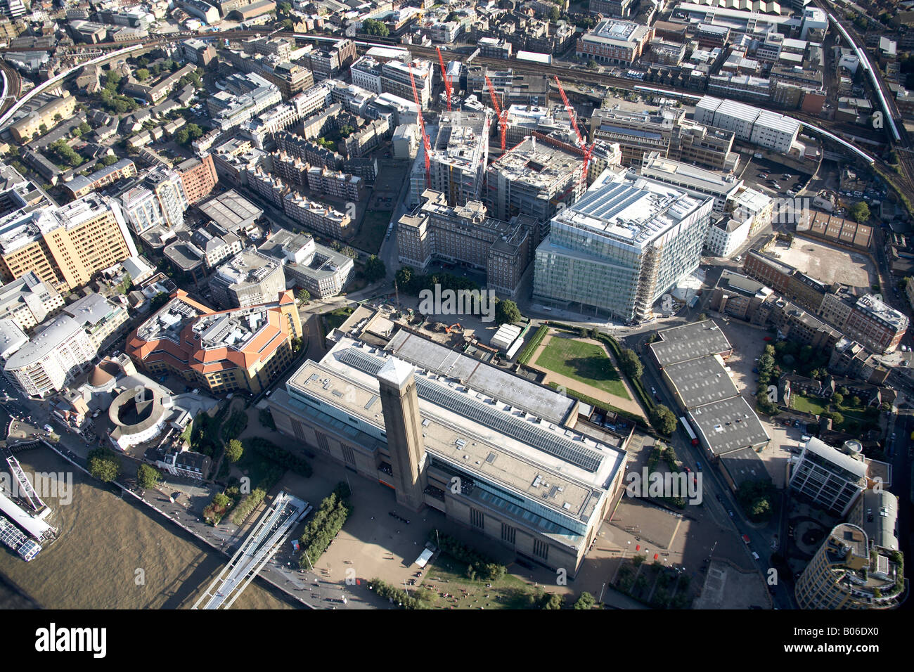 Luftbild südöstlich von The Tate Gallery of Modern Art Shakespeare s Globus Bau arbeiten Eisenbahnlinie Southwark London SE1 Stockfotohttps://www.alamy.de/image-license-details/?v=1https://www.alamy.de/stockfoto-luftbild-sudostlich-von-the-tate-gallery-of-modern-art-shakespeare-s-globus-bau-arbeiten-eisenbahnlinie-southwark-london-se1-17353000.html
RMB06DX0–Luftbild südöstlich von The Tate Gallery of Modern Art Shakespeare s Globus Bau arbeiten Eisenbahnlinie Southwark London SE1
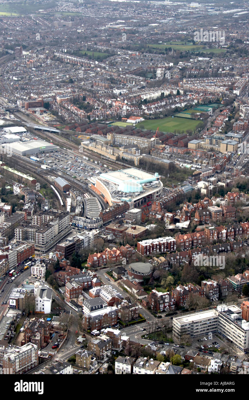 Luftbild westlich von O2 Einkaufszentrum Finchley Road Bahnhof Vorstadtgehäuse Cricket ground und Tennisplätze London N Stockfotohttps://www.alamy.de/image-license-details/?v=1https://www.alamy.de/stockfoto-luftbild-westlich-von-o2-einkaufszentrum-finchley-road-bahnhof-vorstadtgehause-cricket-ground-und-tennisplatze-london-n-14683251.html
RMAJBARG–Luftbild westlich von O2 Einkaufszentrum Finchley Road Bahnhof Vorstadtgehäuse Cricket ground und Tennisplätze London N
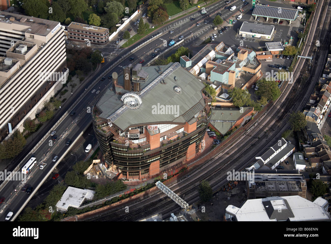 Luftbild Norden östlich von London Ark Hotel Novotel West Talgarth Straße Hammersmith Flyover Bahnstrecke London W6 England UK Stockfotohttps://www.alamy.de/image-license-details/?v=1https://www.alamy.de/stockfoto-luftbild-norden-ostlich-von-london-ark-hotel-novotel-west-talgarth-strasse-hammersmith-flyover-bahnstrecke-london-w6-england-uk-17353665.html
RMB06ENN–Luftbild Norden östlich von London Ark Hotel Novotel West Talgarth Straße Hammersmith Flyover Bahnstrecke London W6 England UK
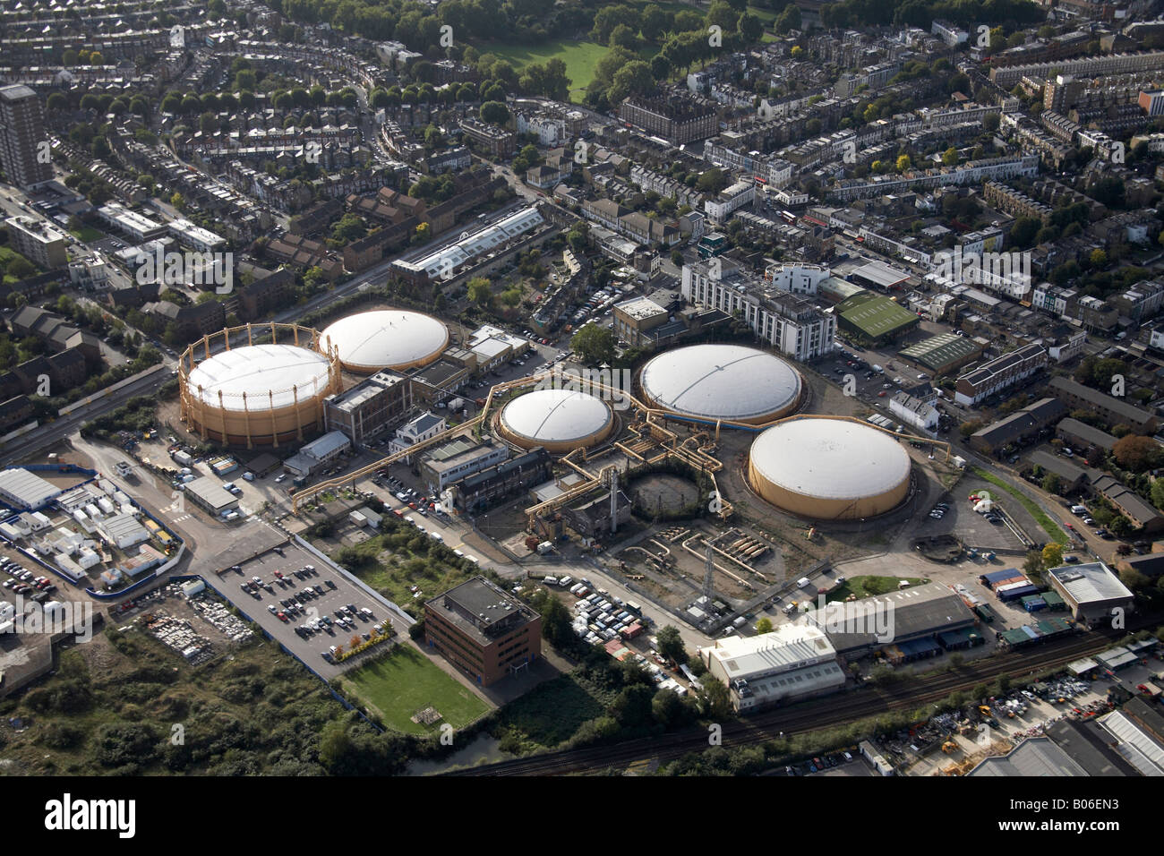 Luftbild westlich von Sands Ende Gaswerk Eisenbahnlinie Kings Road Kaiserstraße Vorstadt beherbergt Fulham London SW6 England UK Stockfotohttps://www.alamy.de/image-license-details/?v=1https://www.alamy.de/stockfoto-luftbild-westlich-von-sands-ende-gaswerk-eisenbahnlinie-kings-road-kaiserstrasse-vorstadt-beherbergt-fulham-london-sw6-england-uk-17353647.html
RMB06EN3–Luftbild westlich von Sands Ende Gaswerk Eisenbahnlinie Kings Road Kaiserstraße Vorstadt beherbergt Fulham London SW6 England UK
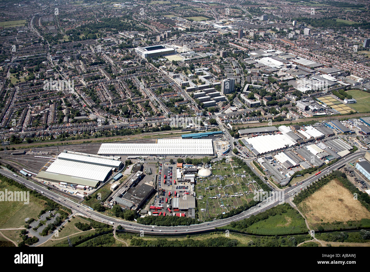 Luftbild Norden östlich von Northumberland Park Railway Depot Tottenham Hotspur F C Haringey London N17 England UK High Level obl Stockfotohttps://www.alamy.de/image-license-details/?v=1https://www.alamy.de/stockfoto-luftbild-norden-ostlich-von-northumberland-park-railway-depot-tottenham-hotspur-f-c-haringey-london-n17-england-uk-high-level-obl-14683277.html
RMAJBAWJ–Luftbild Norden östlich von Northumberland Park Railway Depot Tottenham Hotspur F C Haringey London N17 England UK High Level obl
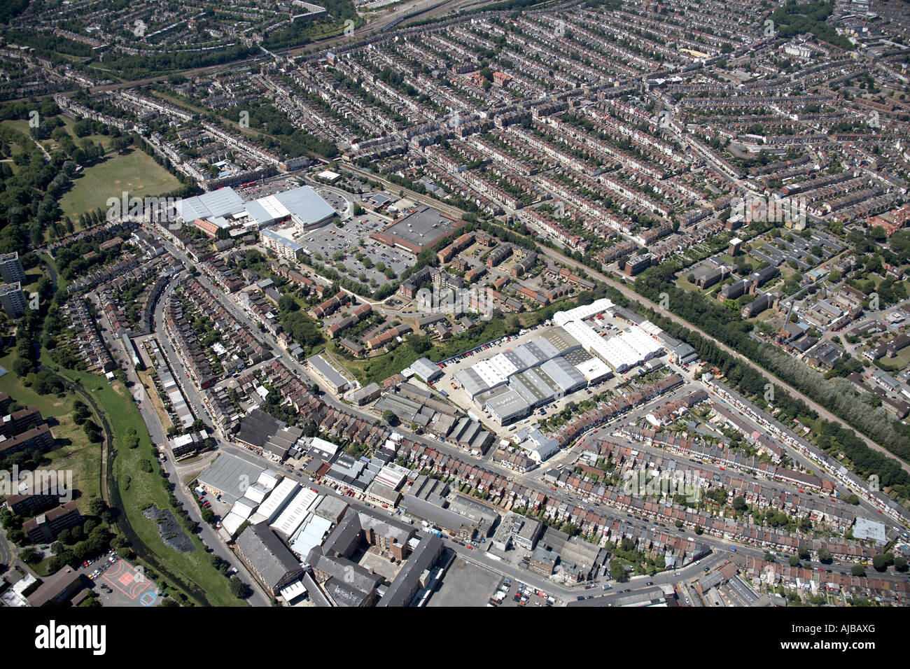 Luftbild Norden westlich von Arena Business Zentrum Haringey Green Lanes Railway Station London N4 England UK hohe schräg Stockfotohttps://www.alamy.de/image-license-details/?v=1https://www.alamy.de/stockfoto-luftbild-norden-westlich-von-arena-business-zentrum-haringey-green-lanes-railway-station-london-n4-england-uk-hohe-schrag-14683287.html
RMAJBAXG–Luftbild Norden westlich von Arena Business Zentrum Haringey Green Lanes Railway Station London N4 England UK hohe schräg
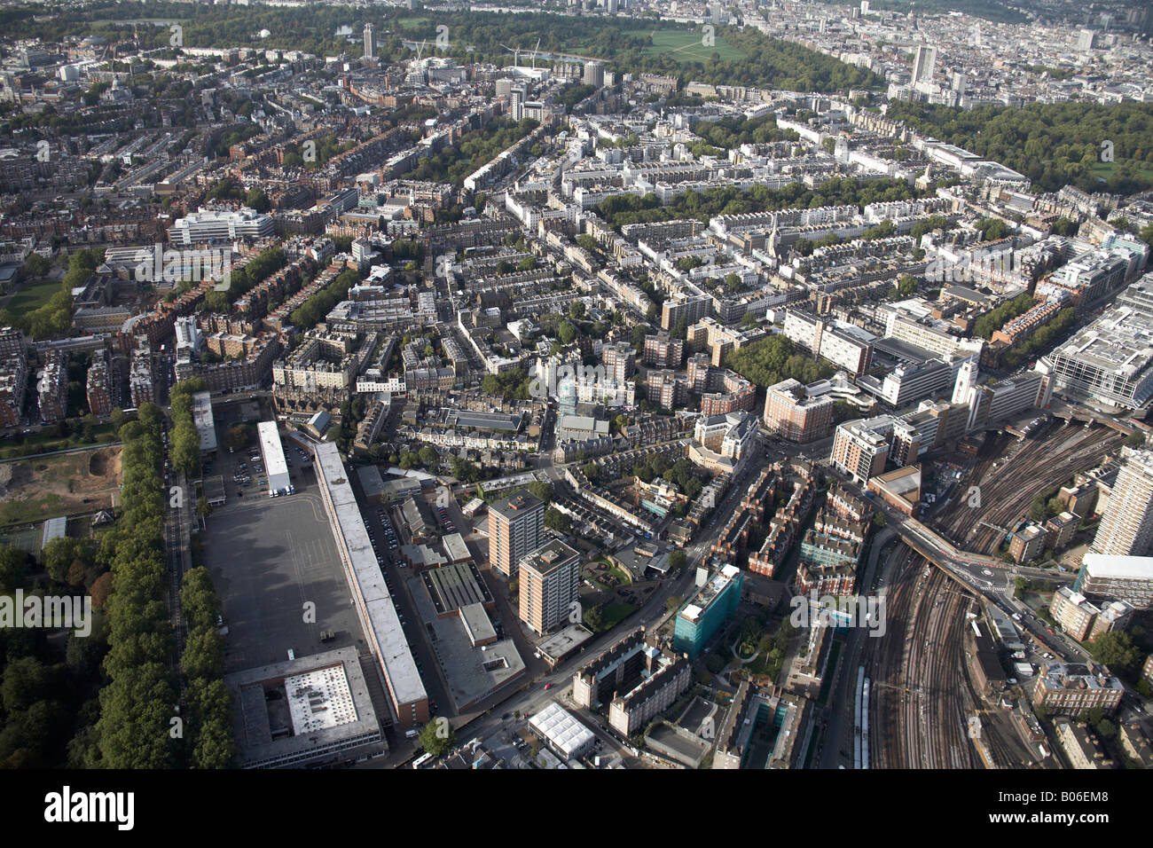 Luftbild Norden Linien westlich des Bahnhofs Victoria Bahnhof Innenstadt Gebäude Chelsea Barracks Hyde Green Park London SW1 Stockfotohttps://www.alamy.de/image-license-details/?v=1https://www.alamy.de/stockfoto-luftbild-norden-linien-westlich-des-bahnhofs-victoria-bahnhof-innenstadt-gebaude-chelsea-barracks-hyde-green-park-london-sw1-17353624.html
RMB06EM8–Luftbild Norden Linien westlich des Bahnhofs Victoria Bahnhof Innenstadt Gebäude Chelsea Barracks Hyde Green Park London SW1
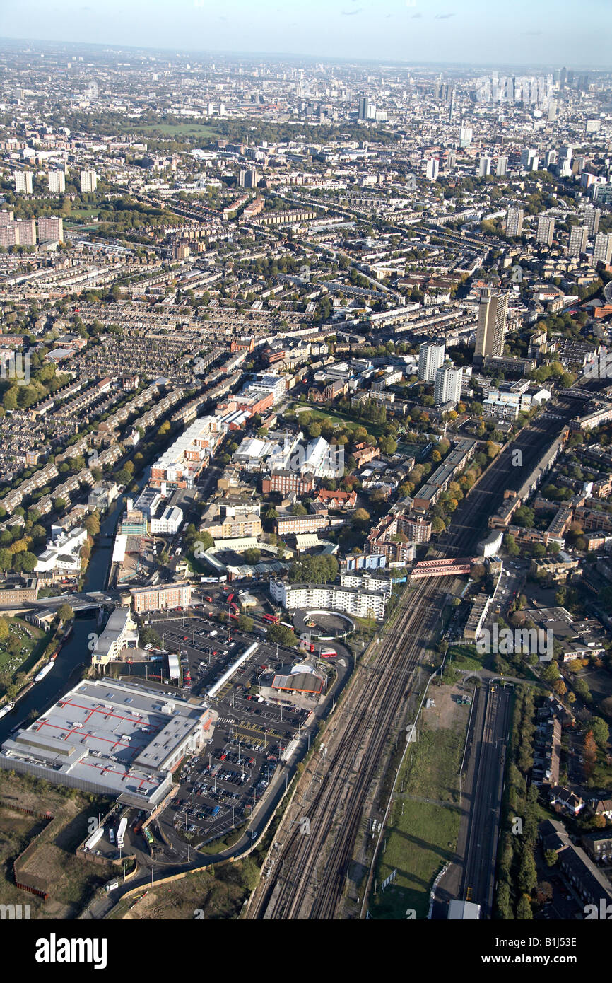 Luftbild Norden östlich von Grand Union Canal Bahnlinie s beherbergt Hochhäusern Kensal Town West Kilburn Maida Vale London Stockfotohttps://www.alamy.de/image-license-details/?v=1https://www.alamy.de/stockfoto-luftbild-norden-ostlich-von-grand-union-canal-bahnlinie-s-beherbergt-hochhausern-kensal-town-west-kilburn-maida-vale-london-18224178.html
RMB1J53E–Luftbild Norden östlich von Grand Union Canal Bahnlinie s beherbergt Hochhäusern Kensal Town West Kilburn Maida Vale London
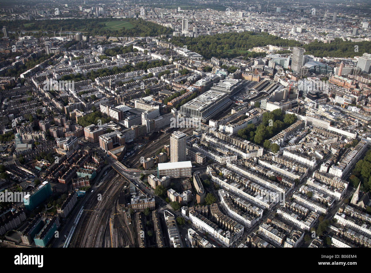 Luftbild nördlich von Victoria Bahnhof Eisenbahn Linien innerstädtischen Gebäude Westminster Hyde grün St James s Park London SW1 Stockfotohttps://www.alamy.de/image-license-details/?v=1https://www.alamy.de/stockfoto-luftbild-nordlich-von-victoria-bahnhof-eisenbahn-linien-innerstadtischen-gebaude-westminster-hyde-grun-st-james-s-park-london-sw1-17353620.html
RMB06EM4–Luftbild nördlich von Victoria Bahnhof Eisenbahn Linien innerstädtischen Gebäude Westminster Hyde grün St James s Park London SW1
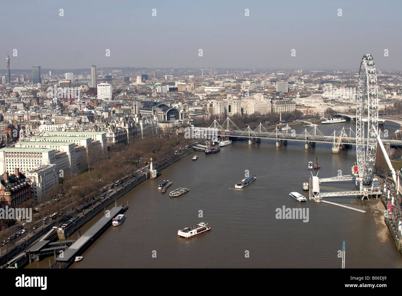 Luftbild nördlich von Ministerium der Verteidigung Millennium Rad The Eye River Thames Hungerford Eisenbahn Brücke Charing Cross Station C Stockfotohttps://www.alamy.de/image-license-details/?v=1https://www.alamy.de/stockfoto-luftbild-nordlich-von-ministerium-der-verteidigung-millennium-rad-the-eye-river-thames-hungerford-eisenbahn-brucke-charing-cross-station-c-17352785.html
RMB06DJ9–Luftbild nördlich von Ministerium der Verteidigung Millennium Rad The Eye River Thames Hungerford Eisenbahn Brücke Charing Cross Station C
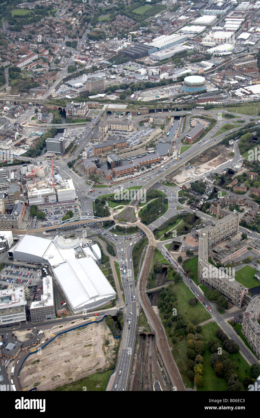 Luftbild Norden östlich von A61 A57 Straßenkreuzung Forge International Sports Centre Bahnhof-Park Square Canal Basin Sheffield S1 S Stockfotohttps://www.alamy.de/image-license-details/?v=1https://www.alamy.de/stockfoto-luftbild-norden-ostlich-von-a61-a57-strassenkreuzung-forge-international-sports-centre-bahnhof-park-square-canal-basin-sheffield-s1-s-17353395.html
RMB06EC3–Luftbild Norden östlich von A61 A57 Straßenkreuzung Forge International Sports Centre Bahnhof-Park Square Canal Basin Sheffield S1 S
 Luftbild Norden östlich der Bahnlinie Business Estate Wilford Straße Nottingham NG2 England UK hohe schrägen Stockfotohttps://www.alamy.de/image-license-details/?v=1https://www.alamy.de/stockfoto-luftbild-norden-ostlich-der-bahnlinie-business-estate-wilford-strasse-nottingham-ng2-england-uk-hohe-schragen-20488527.html
RMB59993–Luftbild Norden östlich der Bahnlinie Business Estate Wilford Straße Nottingham NG2 England UK hohe schrägen
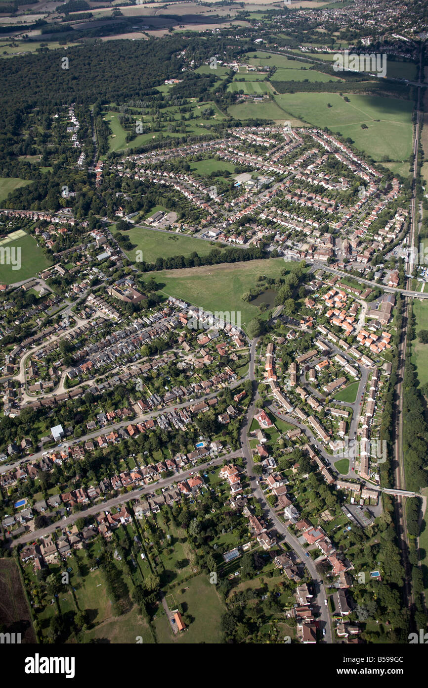 Luftbild nördlich von s-Bahn befinden sich Golfplatz Bahn Linie Niederwald Zeile Aufforstung Theydon Bois Epping Forest Greater London Stockfotohttps://www.alamy.de/image-license-details/?v=1https://www.alamy.de/stockfoto-luftbild-nordlich-von-s-bahn-befinden-sich-golfplatz-bahn-linie-niederwald-zeile-aufforstung-theydon-bois-epping-forest-greater-london-20488732.html
RMB599GC–Luftbild nördlich von s-Bahn befinden sich Golfplatz Bahn Linie Niederwald Zeile Aufforstung Theydon Bois Epping Forest Greater London
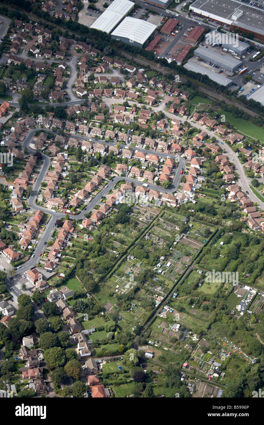 Luftbild Norden westlich von s-Bahn beherbergt Kleingärten Torvill Eisenbahn Linie Business Park Wollaton Nottingham UK hohe Helligkeit Stockfotohttps://www.alamy.de/image-license-details/?v=1https://www.alamy.de/stockfoto-luftbild-norden-westlich-von-s-bahn-beherbergt-kleingarten-torvill-eisenbahn-linie-business-park-wollaton-nottingham-uk-hohe-helligkeit-20488462.html
RMB5996P–Luftbild Norden westlich von s-Bahn beherbergt Kleingärten Torvill Eisenbahn Linie Business Park Wollaton Nottingham UK hohe Helligkeit
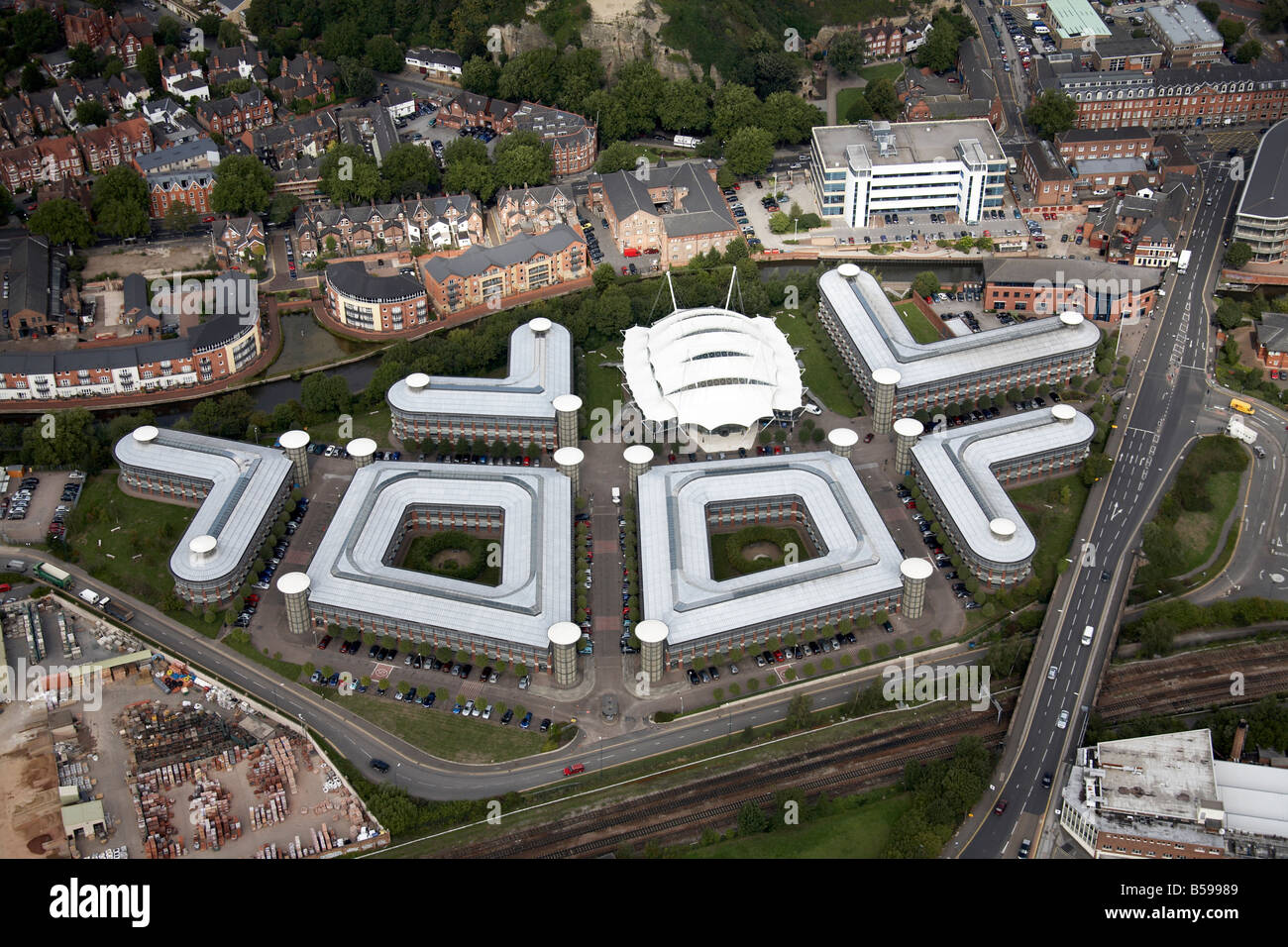 Luftbild nördlich von Geschäftszone Wilford Straße Schloss Wiese Straße s beherbergt Eisenbahnlinie Nottingham NG1 England UK Stockfotohttps://www.alamy.de/image-license-details/?v=1https://www.alamy.de/stockfoto-luftbild-nordlich-von-geschaftszone-wilford-strasse-schloss-wiese-strasse-s-beherbergt-eisenbahnlinie-nottingham-ng1-england-uk-20488505.html
RMB59989–Luftbild nördlich von Geschäftszone Wilford Straße Schloss Wiese Straße s beherbergt Eisenbahnlinie Nottingham NG1 England UK
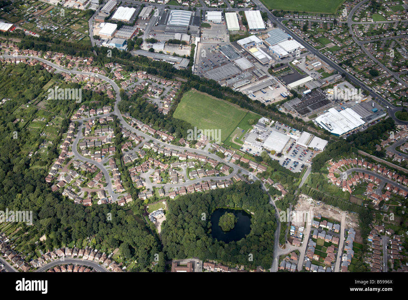 Luftbild Norden westlich von s-Bahn beherbergt Kleingärten Lambourne Laufwerk Bahn Linie Business Park Wollaton Nottingham UK High leve Stockfotohttps://www.alamy.de/image-license-details/?v=1https://www.alamy.de/stockfoto-luftbild-norden-westlich-von-s-bahn-beherbergt-kleingarten-lambourne-laufwerk-bahn-linie-business-park-wollaton-nottingham-uk-high-leve-20488466.html
RMB5996X–Luftbild Norden westlich von s-Bahn beherbergt Kleingärten Lambourne Laufwerk Bahn Linie Business Park Wollaton Nottingham UK High leve
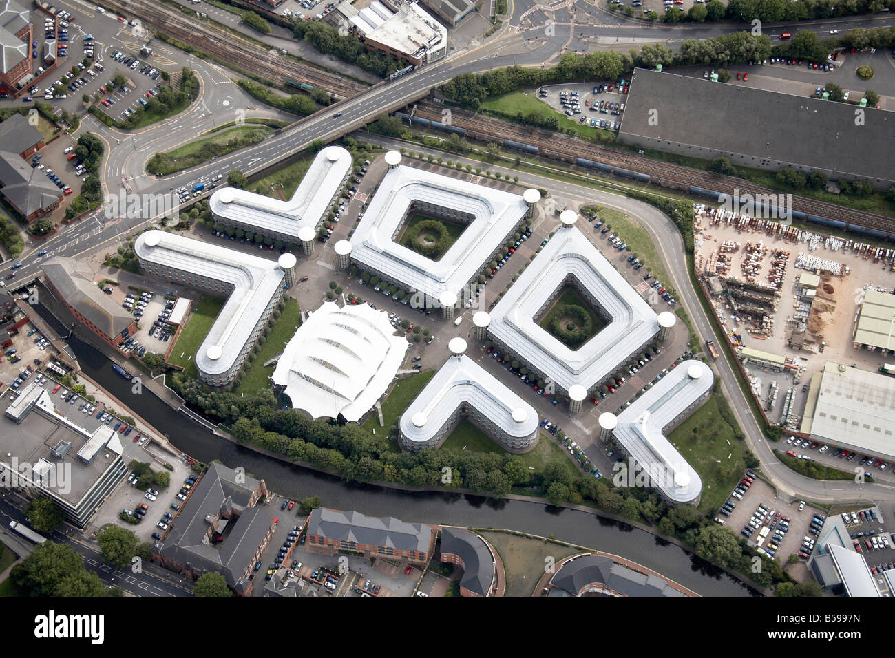 Luftbild südöstlich von Schloss konkrete Ltd Fluss Trent Eisenbahnlinie Wilford Straße NG1England UK hohe schräg Stockfotohttps://www.alamy.de/image-license-details/?v=1https://www.alamy.de/stockfoto-luftbild-sudostlich-von-schloss-konkrete-ltd-fluss-trent-eisenbahnlinie-wilford-strasse-ng1england-uk-hohe-schrag-20488489.html
RMB5997N–Luftbild südöstlich von Schloss konkrete Ltd Fluss Trent Eisenbahnlinie Wilford Straße NG1England UK hohe schräg
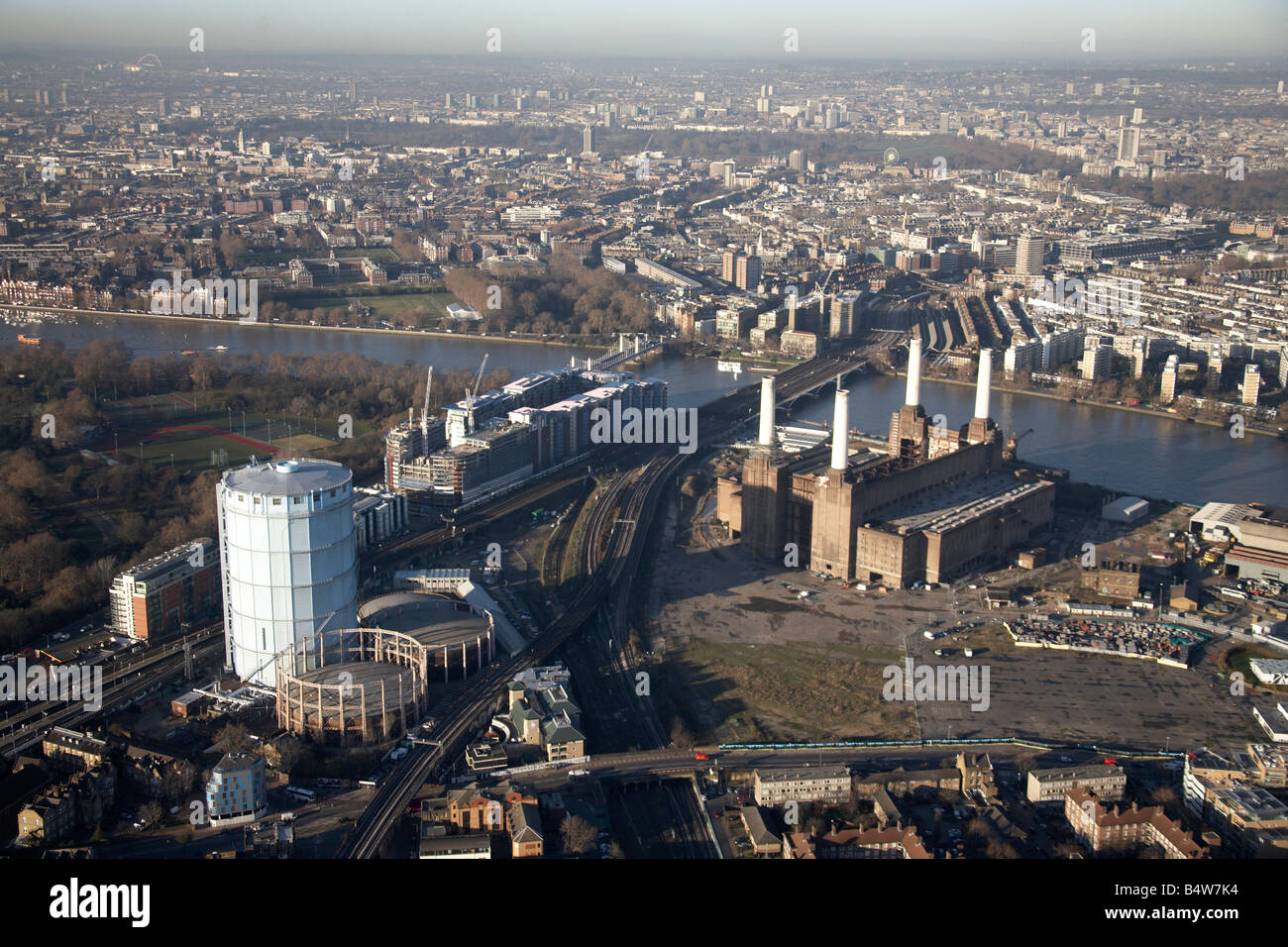 Luftbild Nord-westlich von Chelsea Bridge Battersea Railway Bridge River Thames Gas funktioniert Battersea Power Station stillgelegten London Stockfotohttps://www.alamy.de/image-license-details/?v=1https://www.alamy.de/stockfoto-luftbild-nord-westlich-von-chelsea-bridge-battersea-railway-bridge-river-thames-gas-funktioniert-battersea-power-station-stillgelegten-london-20223816.html
RMB4W7K4–Luftbild Nord-westlich von Chelsea Bridge Battersea Railway Bridge River Thames Gas funktioniert Battersea Power Station stillgelegten London
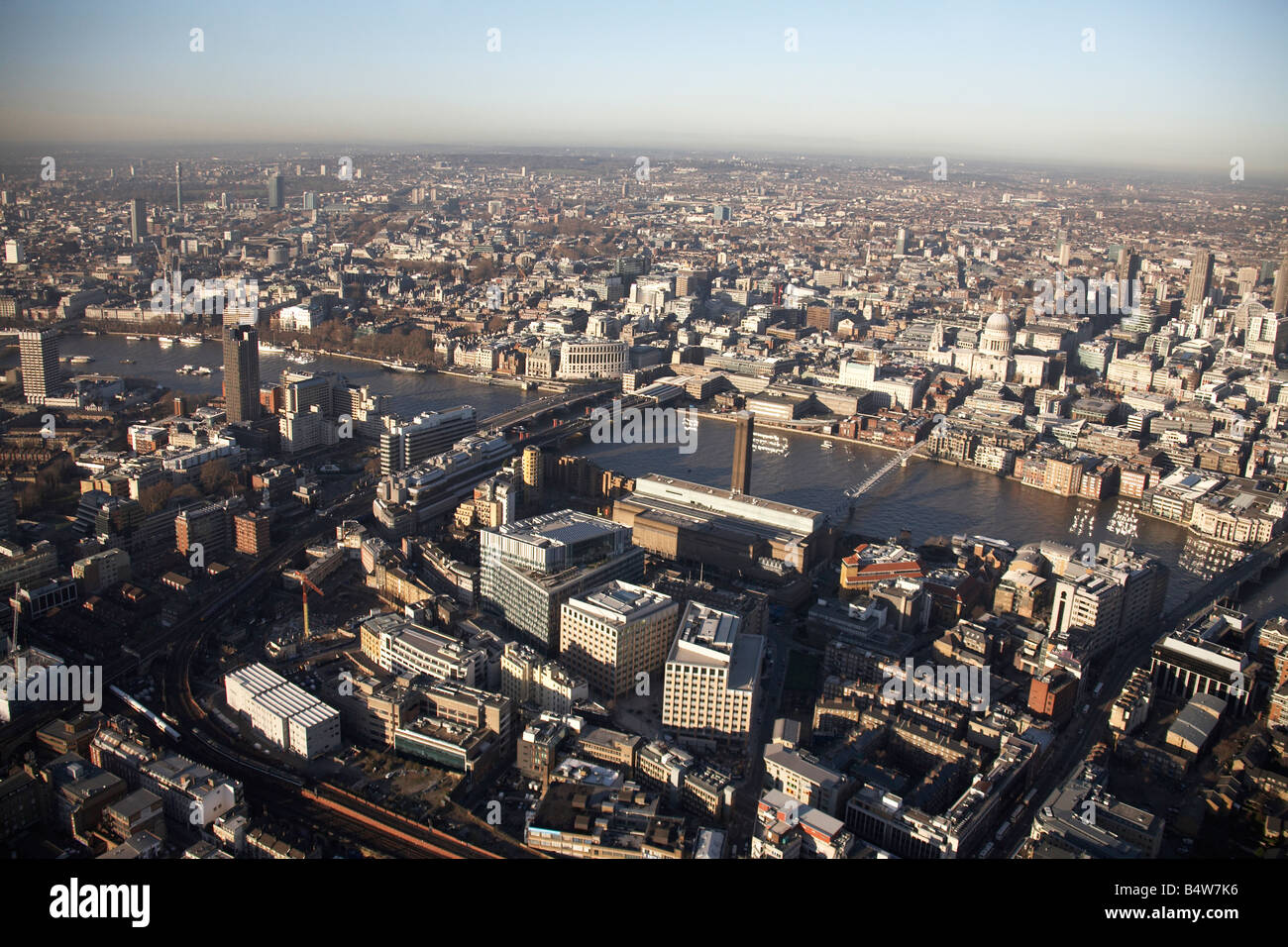 Luftbild Norden westlich von Fluß Themse Blackfriars Brücke Eisenbahnbrücke Eisenbahn Linien Tate Modern Gallery Hochhäuser Southwar Stockfotohttps://www.alamy.de/image-license-details/?v=1https://www.alamy.de/stockfoto-luftbild-norden-westlich-von-fluss-themse-blackfriars-brucke-eisenbahnbrucke-eisenbahn-linien-tate-modern-gallery-hochhauser-southwar-20223818.html
RMB4W7K6–Luftbild Norden westlich von Fluß Themse Blackfriars Brücke Eisenbahnbrücke Eisenbahn Linien Tate Modern Gallery Hochhäuser Southwar
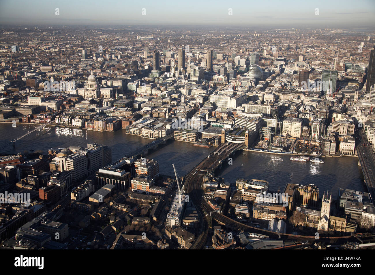 Luftbild nördlich der Stadt River Thames Southwark Bridge Cannon Street Eisenbahnbrücke Wohngebäude London EG4 EC2 SE Stockfotohttps://www.alamy.de/image-license-details/?v=1https://www.alamy.de/stockfoto-luftbild-nordlich-der-stadt-river-thames-southwark-bridge-cannon-street-eisenbahnbrucke-wohngebaude-london-eg4-ec2-se-20223822.html
RMB4W7KA–Luftbild nördlich der Stadt River Thames Southwark Bridge Cannon Street Eisenbahnbrücke Wohngebäude London EG4 EC2 SE