Schnellfilter:
Iveragh halbinsel Stockfotos & Bilder
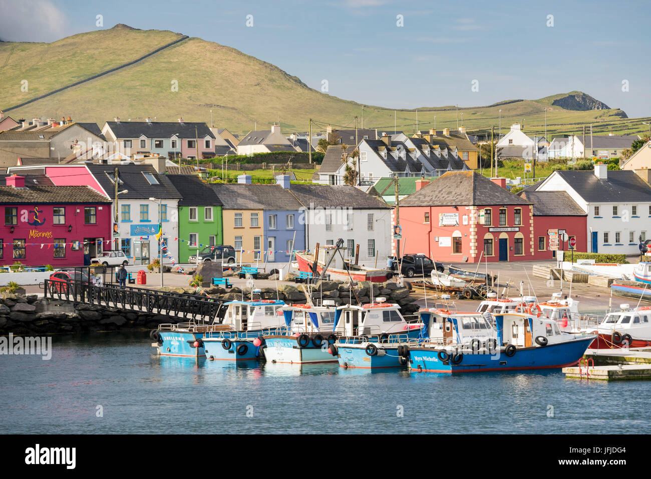 Ansicht von Portmagee, Iveragh-Halbinsel, Co, Kerry, Munster, Irland, Europa, Stockfotohttps://www.alamy.de/image-license-details/?v=1https://www.alamy.de/stockfoto-ansicht-von-portmagee-iveragh-halbinsel-co-kerry-munster-irland-europa-147308564.html
RMJFJDG4–Ansicht von Portmagee, Iveragh-Halbinsel, Co, Kerry, Munster, Irland, Europa,
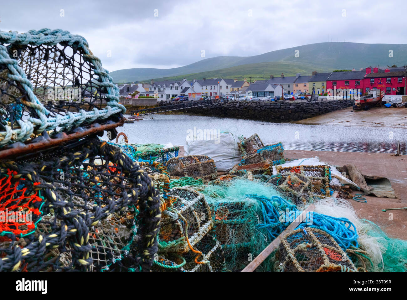 Portmagee, Iveragh-Halbinsel, County Kerry, Irland Stockfotohttps://www.alamy.de/image-license-details/?v=1https://www.alamy.de/stockfoto-portmagee-iveragh-halbinsel-county-kerry-irland-105633299.html
RFG3T09R–Portmagee, Iveragh-Halbinsel, County Kerry, Irland
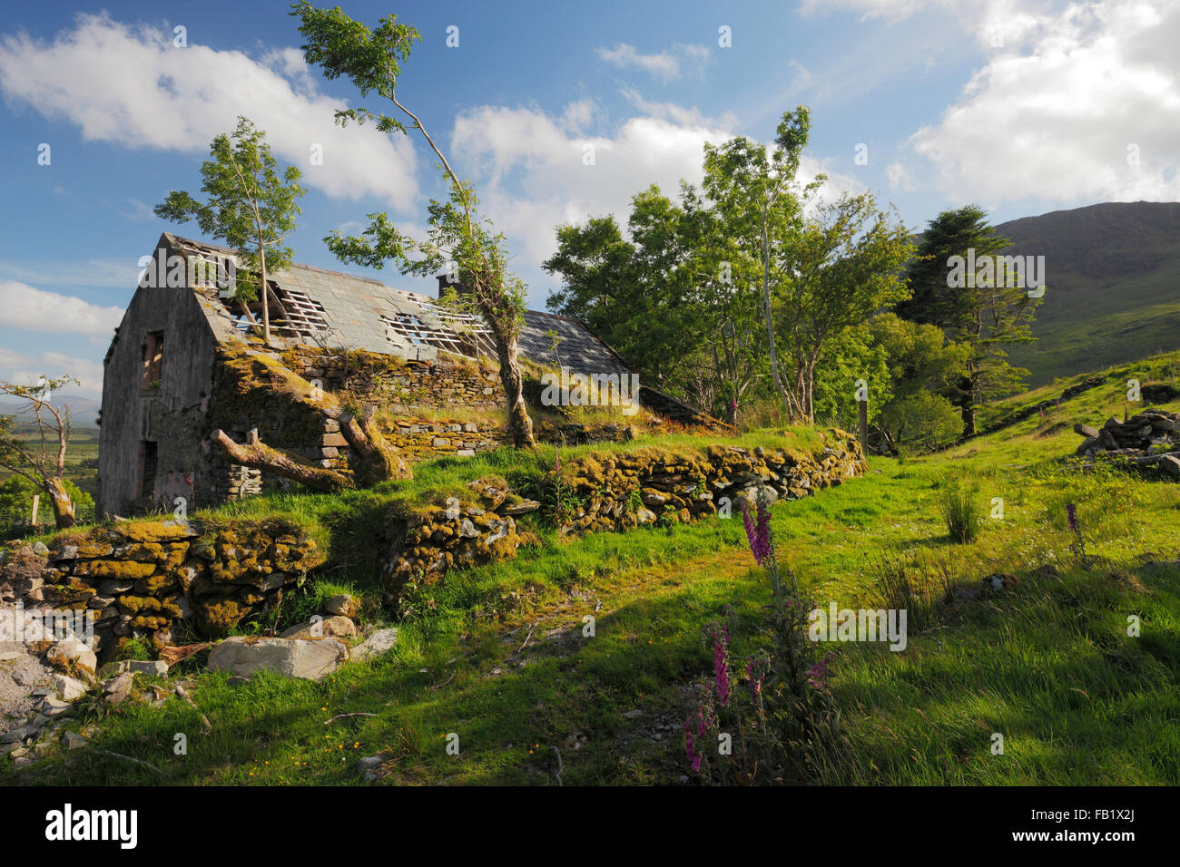 Alte verlassene Hütte in den Bergen von Iveragh-Halbinsel, Co. Kerry, Irland Stockfotohttps://www.alamy.de/image-license-details/?v=1https://www.alamy.de/stockfoto-alte-verlassene-hutte-in-den-bergen-von-iveragh-halbinsel-co-kerry-irland-92855466.html
RMFB1X2J–Alte verlassene Hütte in den Bergen von Iveragh-Halbinsel, Co. Kerry, Irland
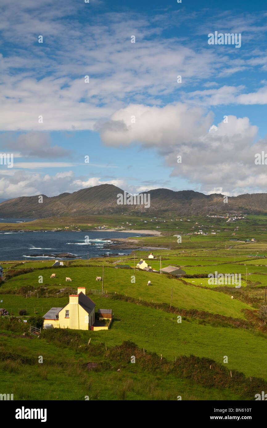 Erhöhten Blick auf dramatische Landschaft, Iveragh-Halbinsel, County Kerry, Irland Stockfotohttps://www.alamy.de/image-license-details/?v=1https://www.alamy.de/stockfoto-erhohten-blick-auf-dramatische-landschaft-iveragh-halbinsel-county-kerry-irland-30250664.html
RMBN610T–Erhöhten Blick auf dramatische Landschaft, Iveragh-Halbinsel, County Kerry, Irland
 Waterville Beach, Iveragh-Halbinsel, County Kerry, Irland. Die Landschaft wurde stark beeinflusst durch die Eiszeit Eiszeit Stockfotohttps://www.alamy.de/image-license-details/?v=1https://www.alamy.de/stockfoto-waterville-beach-iveragh-halbinsel-county-kerry-irland-die-landschaft-wurde-stark-beeinflusst-durch-die-eiszeit-eiszeit-52782374.html
RMD1TCCP–Waterville Beach, Iveragh-Halbinsel, County Kerry, Irland. Die Landschaft wurde stark beeinflusst durch die Eiszeit Eiszeit
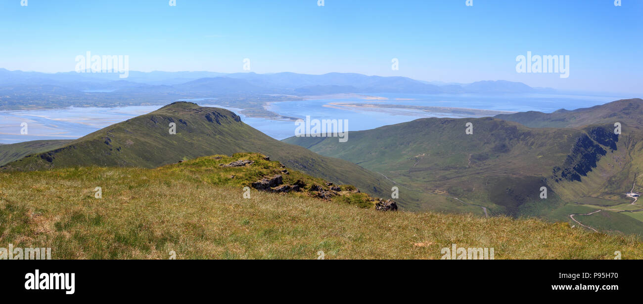 Sommer Blick nach Süden in Richtung Killorglin Hafen und der Iveragh Halbinsel von caherconree auf der Halbinsel Dingle in der Grafschaft Kerry, Irland Stockfotohttps://www.alamy.de/image-license-details/?v=1https://www.alamy.de/sommer-blick-nach-suden-in-richtung-killorglin-hafen-und-der-iveragh-halbinsel-von-caherconree-auf-der-halbinsel-dingle-in-der-grafschaft-kerry-irland-image212179604.html
RFP95H70–Sommer Blick nach Süden in Richtung Killorglin Hafen und der Iveragh Halbinsel von caherconree auf der Halbinsel Dingle in der Grafschaft Kerry, Irland
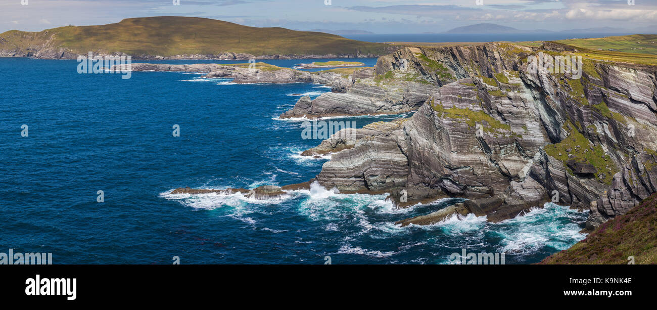 Die irische Küste auf der Iveragh Halbinsel im County Kerry, Irland. Stockfotohttps://www.alamy.de/image-license-details/?v=1https://www.alamy.de/stockfoto-die-irische-kuste-auf-der-iveragh-halbinsel-im-county-kerry-irland-160901230.html
RMK9NK4E–Die irische Küste auf der Iveragh Halbinsel im County Kerry, Irland.
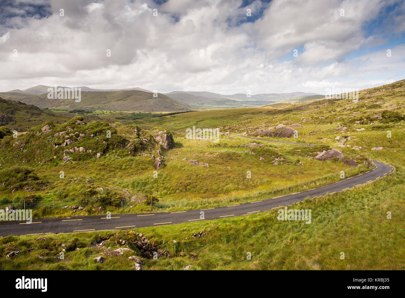 Ein schmaler Pass Road Winde über das Moor zu den Ballaghbeama Gap in der macgillycuddy Reeks Berge der Iveragh Halbinsel in Irland Stockfotohttps://www.alamy.de/image-license-details/?v=1https://www.alamy.de/stockfoto-ein-schmaler-pass-road-winde-uber-das-moor-zu-den-ballaghbeama-gap-in-der-macgillycuddy-reeks-berge-der-iveragh-halbinsel-in-irland-169286073.html
RFKRBJ35–Ein schmaler Pass Road Winde über das Moor zu den Ballaghbeama Gap in der macgillycuddy Reeks Berge der Iveragh Halbinsel in Irland
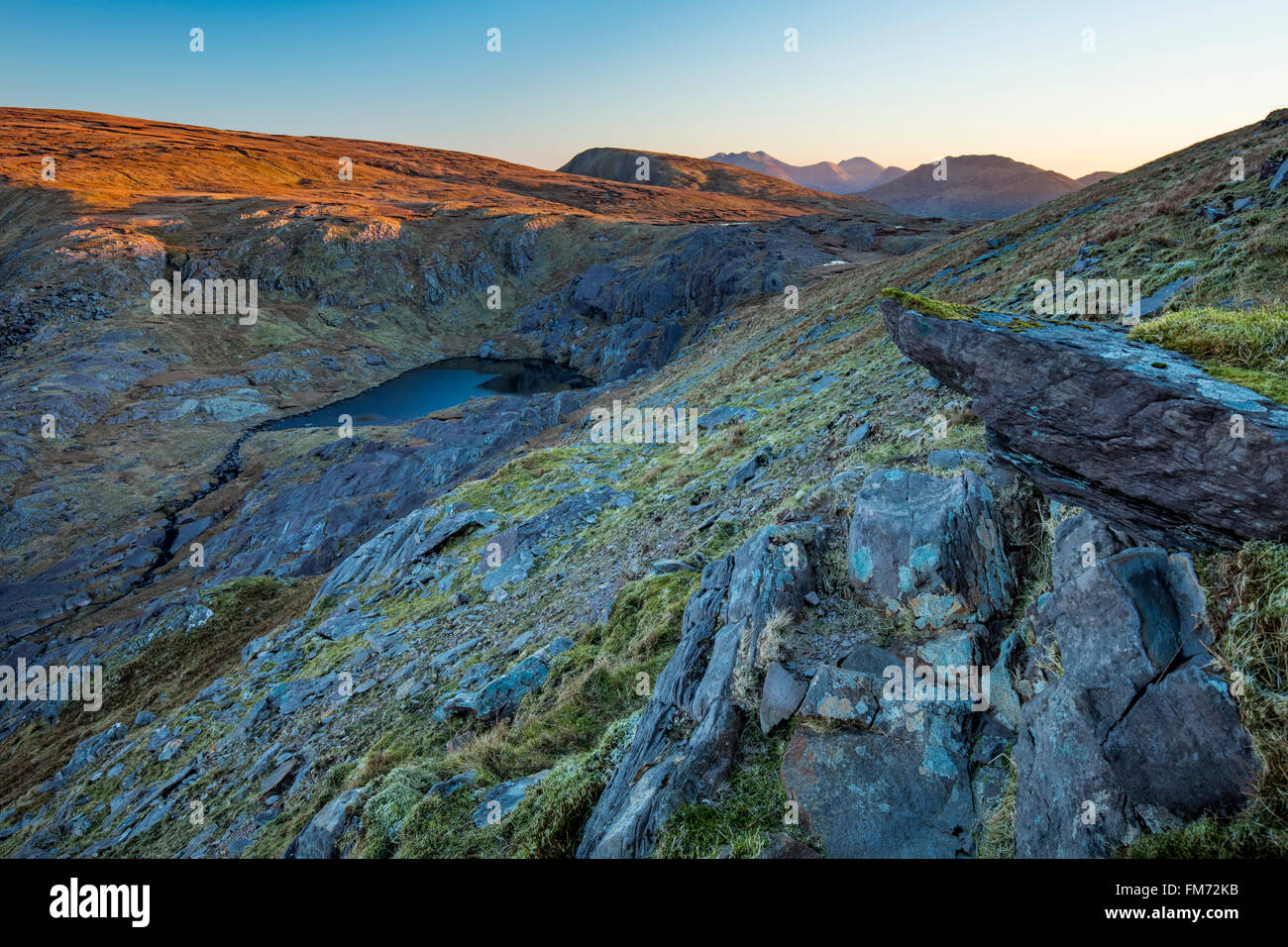 Morgendämmerung über Coomura Berg von Knocknagantee, Iveragh-Halbinsel, County Kerry, Irland. Stockfotohttps://www.alamy.de/image-license-details/?v=1https://www.alamy.de/stockfoto-morgendammerung-uber-coomura-berg-von-knocknagantee-iveragh-halbinsel-county-kerry-irland-98500735.html
RMFM72KB–Morgendämmerung über Coomura Berg von Knocknagantee, Iveragh-Halbinsel, County Kerry, Irland.
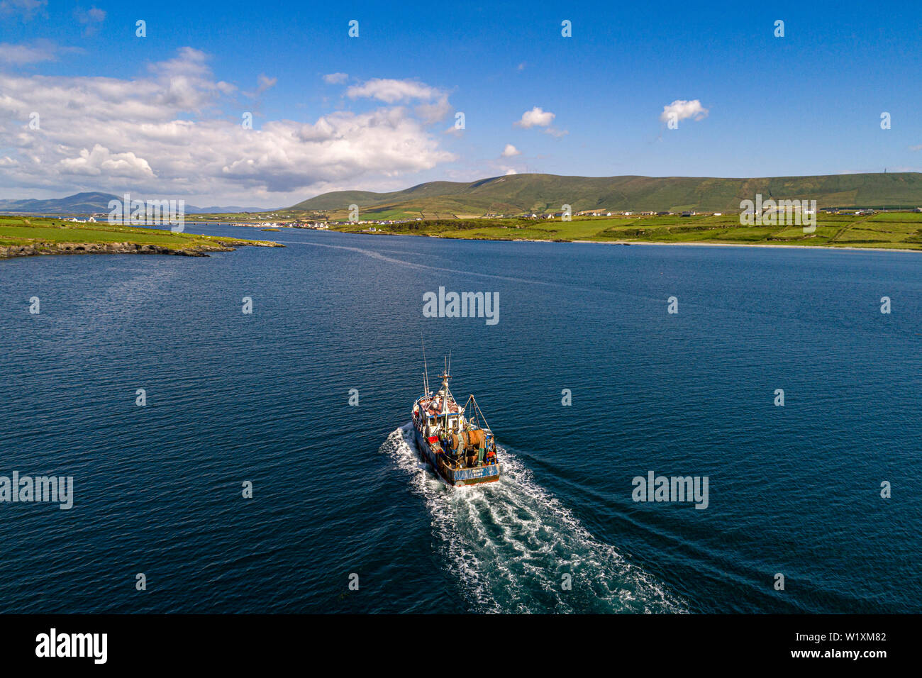 Fischerboot in Portmagee Bay, County Kerry, Irland kommenden Stockfotohttps://www.alamy.de/image-license-details/?v=1https://www.alamy.de/fischerboot-in-portmagee-bay-county-kerry-irland-kommenden-image259356834.html
RMW1XM82–Fischerboot in Portmagee Bay, County Kerry, Irland kommenden
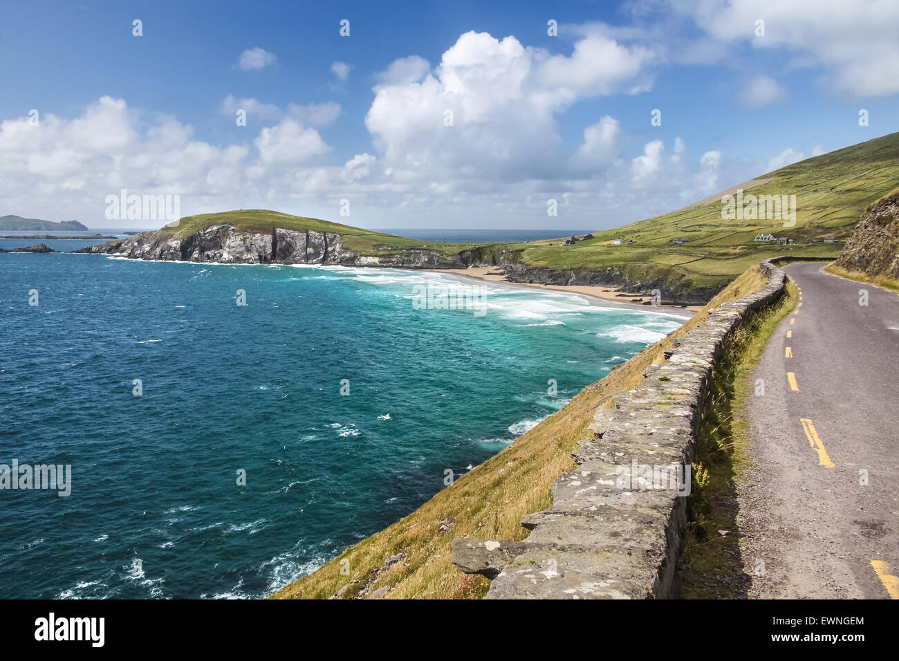 Küstenstraße am Slea Head Drive, Iveragh-Halbinsel, County Kerry, Irland Stockfotohttps://www.alamy.de/image-license-details/?v=1https://www.alamy.de/stockfoto-kustenstrasse-am-slea-head-drive-iveragh-halbinsel-county-kerry-irland-84681820.html
RFEWNGEM–Küstenstraße am Slea Head Drive, Iveragh-Halbinsel, County Kerry, Irland
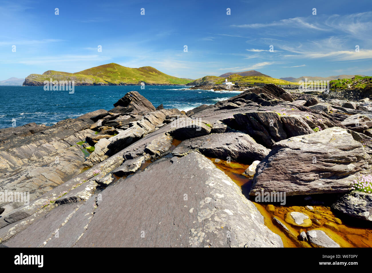 Rau und felsigen Ufer entlang der berühmten Ring of Kerry Route. Zerklüftete Küste von auf der Iveragh Halbinsel, County Kerry, Irland. Stockfotohttps://www.alamy.de/image-license-details/?v=1https://www.alamy.de/rau-und-felsigen-ufer-entlang-der-beruhmten-ring-of-kerry-route-zerkluftete-kuste-von-auf-der-iveragh-halbinsel-county-kerry-irland-image262370947.html
RFW6T0PY–Rau und felsigen Ufer entlang der berühmten Ring of Kerry Route. Zerklüftete Küste von auf der Iveragh Halbinsel, County Kerry, Irland.
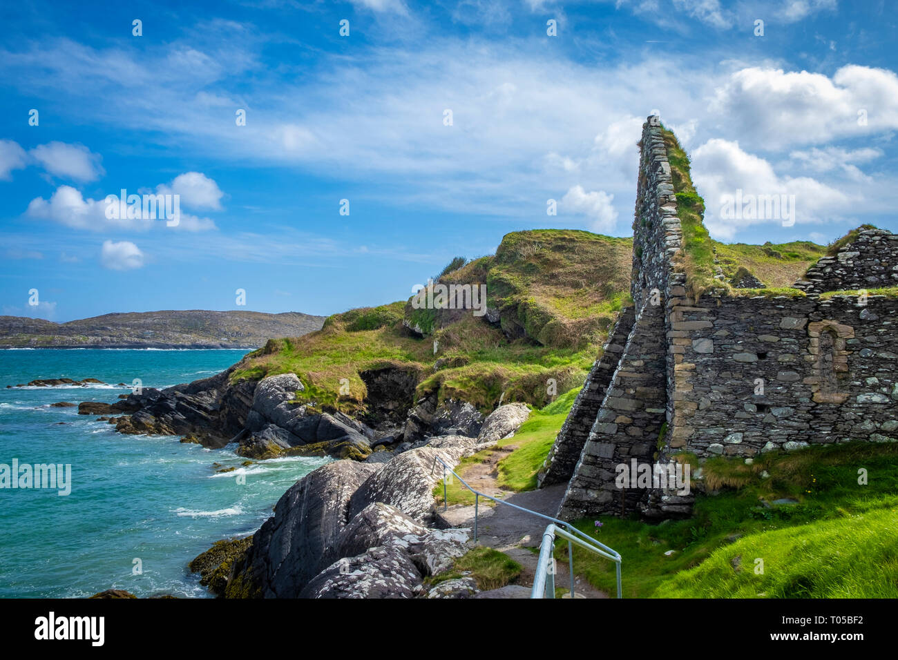 Derrynane Beach, Abbey Island, Ring of Kerry, die Iveragh Halbinsel, Co Kerry, Irland Stockfotohttps://www.alamy.de/image-license-details/?v=1https://www.alamy.de/derrynane-beach-abbey-island-ring-of-kerry-die-iveragh-halbinsel-co-kerry-irland-image241063958.html
RFT05BF2–Derrynane Beach, Abbey Island, Ring of Kerry, die Iveragh Halbinsel, Co Kerry, Irland
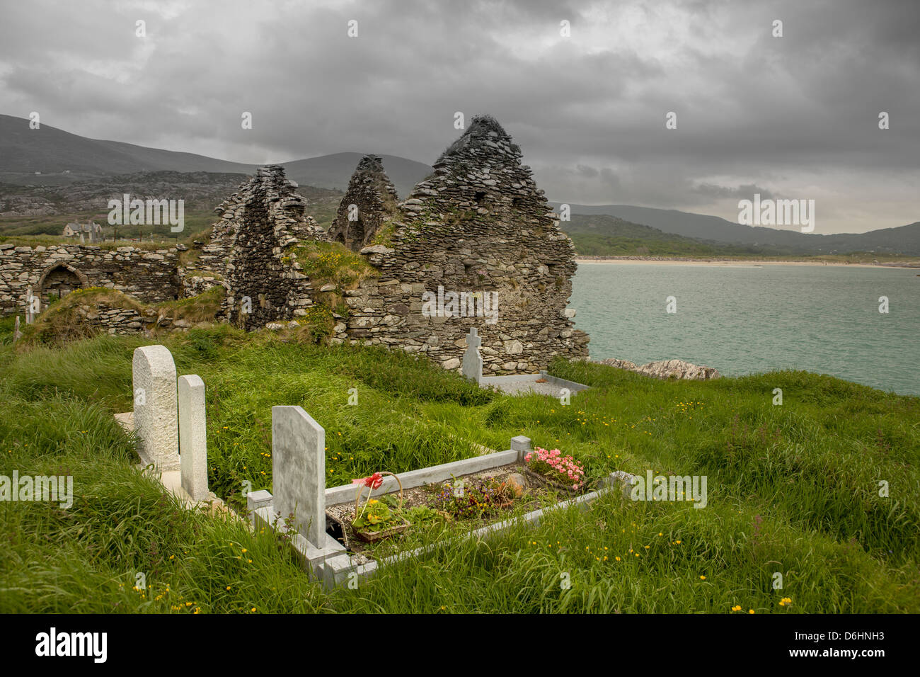 Derrynane. Iveragh-Halbinsel. County Kerry. Irland. Alten Begräbnisstätte. Stockfotohttps://www.alamy.de/image-license-details/?v=1https://www.alamy.de/stockfoto-derrynane-iveragh-halbinsel-county-kerry-irland-alten-begrabnisstatte-55709167.html
RMD6HNH3–Derrynane. Iveragh-Halbinsel. County Kerry. Irland. Alten Begräbnisstätte.
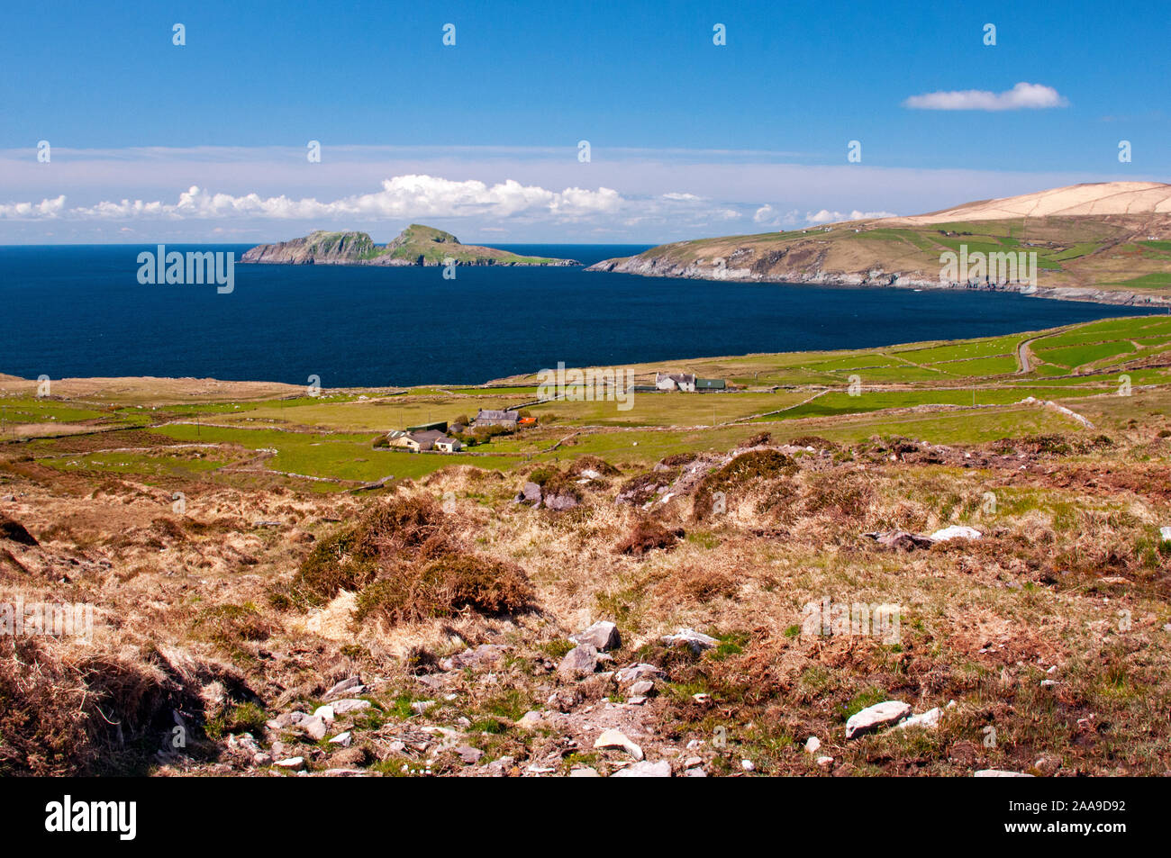 Landschaft der Ring von Kerry, Irland Stockfotohttps://www.alamy.de/image-license-details/?v=1https://www.alamy.de/landschaft-der-ring-von-kerry-irland-image333351566.html
RM2AA9D92–Landschaft der Ring von Kerry, Irland
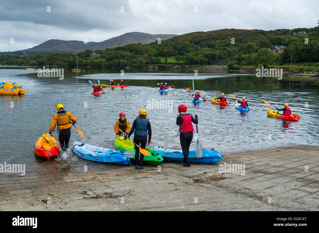 Frauen Kajak der Kenmare Bay, Ring of Kerry, die Iveragh Halbinsel, County Kerry, Irland, Europa. September 2015. Stockfotohttps://www.alamy.de/image-license-details/?v=1https://www.alamy.de/frauen-kajak-der-kenmare-bay-ring-of-kerry-die-iveragh-halbinsel-county-kerry-irland-europa-september-2015-image156417964.html
RMK2DCKT–Frauen Kajak der Kenmare Bay, Ring of Kerry, die Iveragh Halbinsel, County Kerry, Irland, Europa. September 2015.
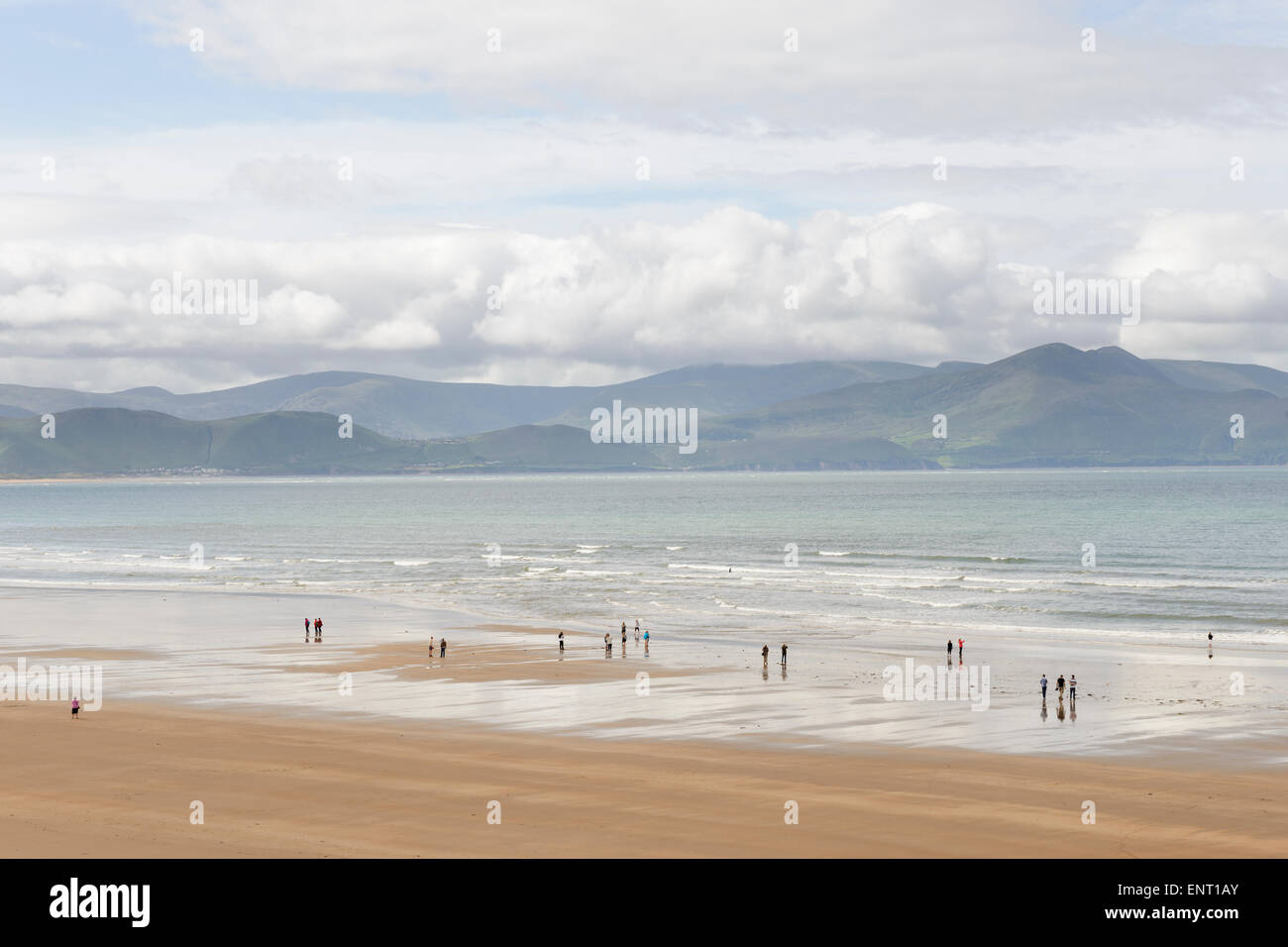 Menschen zu Fuß auf Inch Beach mit der Iveragh-Halbinsel im Hintergrund. County Kerry, Irland. Stockfotohttps://www.alamy.de/image-license-details/?v=1https://www.alamy.de/stockfoto-menschen-zu-fuss-auf-inch-beach-mit-der-iveragh-halbinsel-im-hintergrund-county-kerry-irland-82277187.html
RMENT1AY–Menschen zu Fuß auf Inch Beach mit der Iveragh-Halbinsel im Hintergrund. County Kerry, Irland.
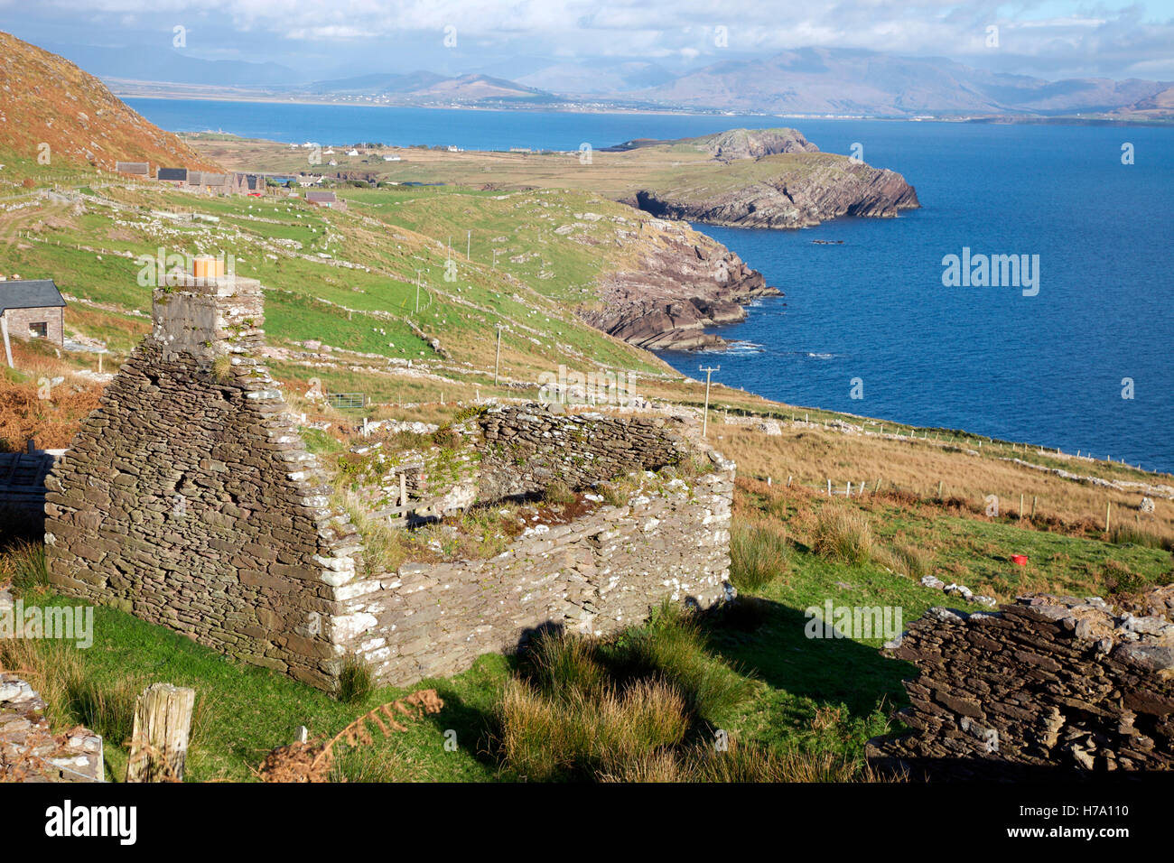 Verfallenen Hütte am Bolus Head auf der Iveragh-Halbinsel, Kerry Stockfotohttps://www.alamy.de/image-license-details/?v=1https://www.alamy.de/stockfoto-verfallenen-hutte-am-bolus-head-auf-der-iveragh-halbinsel-kerry-124995500.html
RMH7A110–Verfallenen Hütte am Bolus Head auf der Iveragh-Halbinsel, Kerry
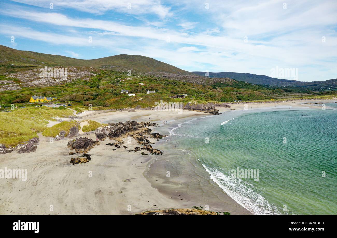 Derrynane Bay Strand westlich von Caherdaniel am Ring of Kerry, Iveragh Halbinsel, Irland. Blick nach Osten Stockfotohttps://www.alamy.de/image-license-details/?v=1https://www.alamy.de/derrynane-bay-strand-westlich-von-caherdaniel-am-ring-of-kerry-iveragh-halbinsel-irland-blick-nach-osten-image655649389.html
RM3A2KBDH–Derrynane Bay Strand westlich von Caherdaniel am Ring of Kerry, Iveragh Halbinsel, Irland. Blick nach Osten
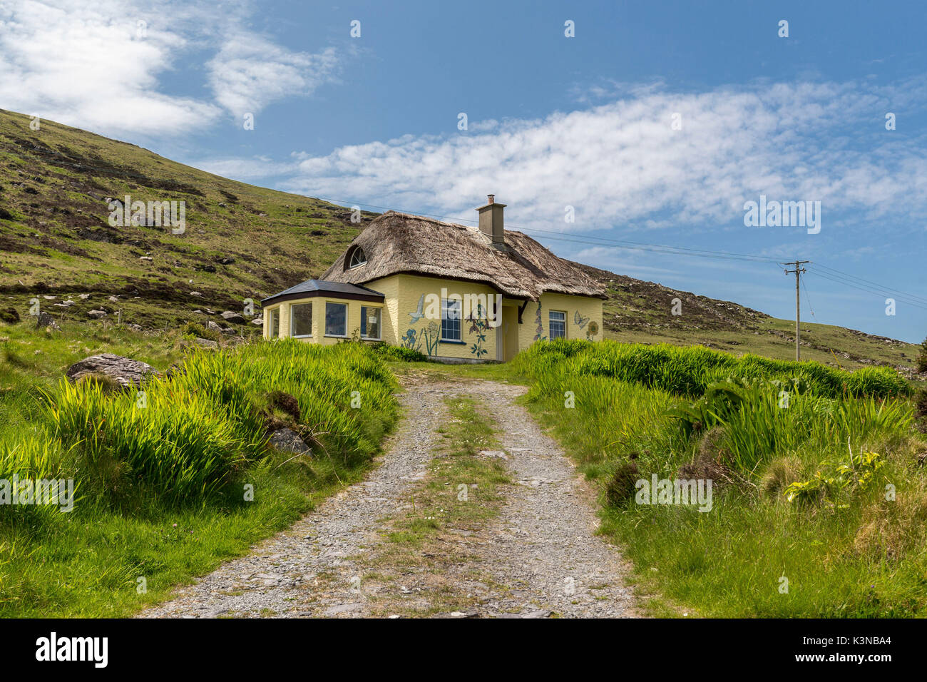 Europa, Irland, Kerry County, Iveragh Halbinsel. Schule auf Valentia Island Stockfotohttps://www.alamy.de/image-license-details/?v=1https://www.alamy.de/europa-irland-kerry-county-iveragh-halbinsel-schule-auf-valentia-island-image157207180.html
RFK3NBA4–Europa, Irland, Kerry County, Iveragh Halbinsel. Schule auf Valentia Island
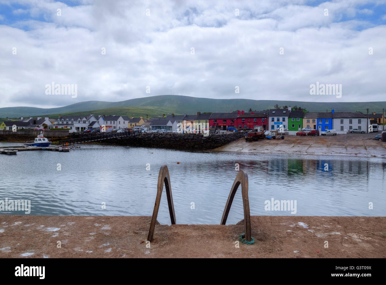 Portmagee, Iveragh-Halbinsel, County Kerry, Irland Stockfotohttps://www.alamy.de/image-license-details/?v=1https://www.alamy.de/stockfoto-portmagee-iveragh-halbinsel-county-kerry-irland-105633302.html
RFG3T09X–Portmagee, Iveragh-Halbinsel, County Kerry, Irland
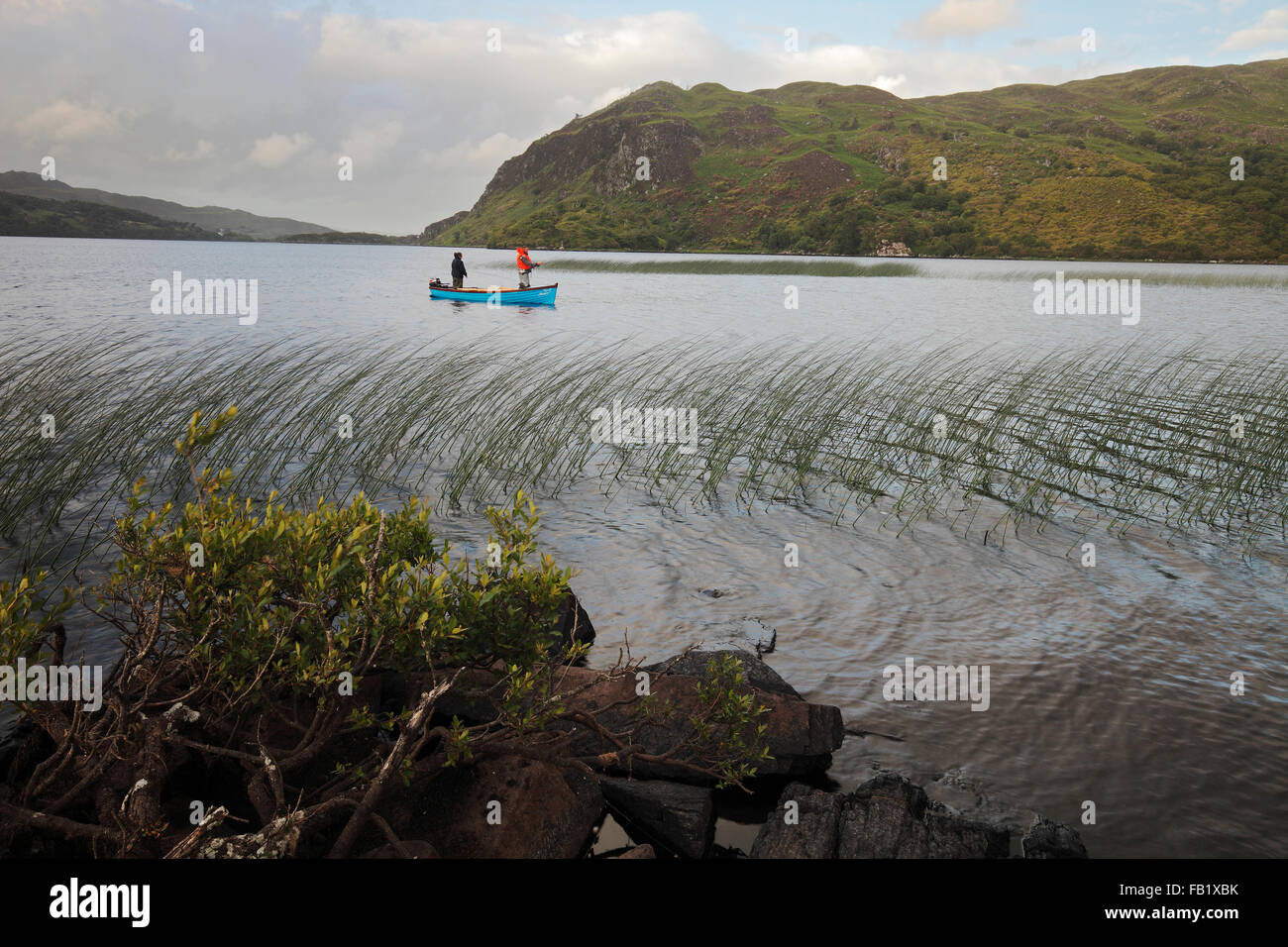 Angeln am Lough Caragh auf der Iveragh-Halbinsel, County Kerry, Irland Stockfotohttps://www.alamy.de/image-license-details/?v=1https://www.alamy.de/stockfoto-angeln-am-lough-caragh-auf-der-iveragh-halbinsel-county-kerry-irland-92855719.html
RMFB1XBK–Angeln am Lough Caragh auf der Iveragh-Halbinsel, County Kerry, Irland
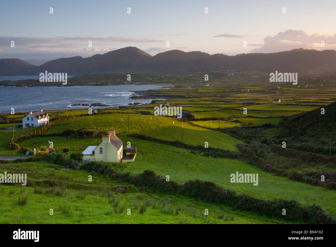 Erhöhten Blick auf dramatische Landschaft im ländlichen Raum beleuchtet bei Sonnenaufgang, Iveragh-Halbinsel, County Kerry, Irland Stockfotohttps://www.alamy.de/image-license-details/?v=1https://www.alamy.de/stockfoto-erhohten-blick-auf-dramatische-landschaft-im-landlichen-raum-beleuchtet-bei-sonnenaufgang-iveragh-halbinsel-county-kerry-irland-30250642.html
RMBN6102–Erhöhten Blick auf dramatische Landschaft im ländlichen Raum beleuchtet bei Sonnenaufgang, Iveragh-Halbinsel, County Kerry, Irland
 Panorama-Blick nach Westen über Lough Currane und Waterville von Eagles Hill, Iveragh-Halbinsel, County Kerry, Irland Stockfotohttps://www.alamy.de/image-license-details/?v=1https://www.alamy.de/stockfoto-panorama-blick-nach-westen-uber-lough-currane-und-waterville-von-eagles-hill-iveragh-halbinsel-county-kerry-irland-52782489.html
RMD1TCGW–Panorama-Blick nach Westen über Lough Currane und Waterville von Eagles Hill, Iveragh-Halbinsel, County Kerry, Irland
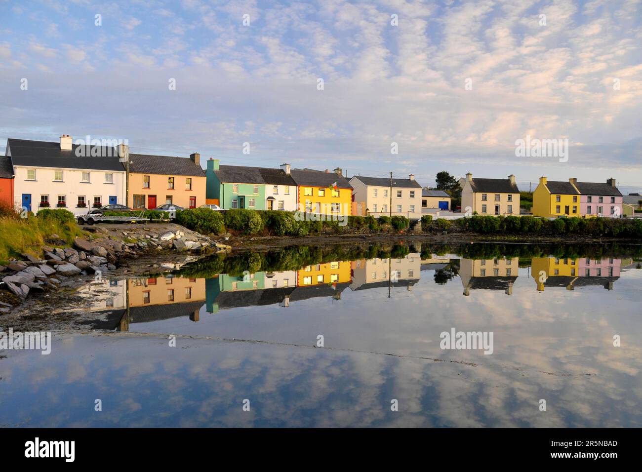 Portmagee, Port of Portmagee, Iveragh Peninsula, County Kerry, Irland Stockfotohttps://www.alamy.de/image-license-details/?v=1https://www.alamy.de/portmagee-port-of-portmagee-iveragh-peninsula-county-kerry-irland-image554274965.html
RM2R5NBAD–Portmagee, Port of Portmagee, Iveragh Peninsula, County Kerry, Irland
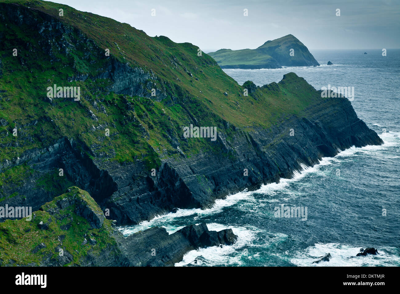 Küstenlandschaft in den Skellig Ring, Iveragh-Halbinsel. County Kerry, Irland, Europa. Stockfotohttps://www.alamy.de/image-license-details/?v=1https://www.alamy.de/kustenlandschaft-in-den-skellig-ring-iveragh-halbinsel-county-kerry-irland-europa-image63852623.html
RMDKTMJR–Küstenlandschaft in den Skellig Ring, Iveragh-Halbinsel. County Kerry, Irland, Europa.
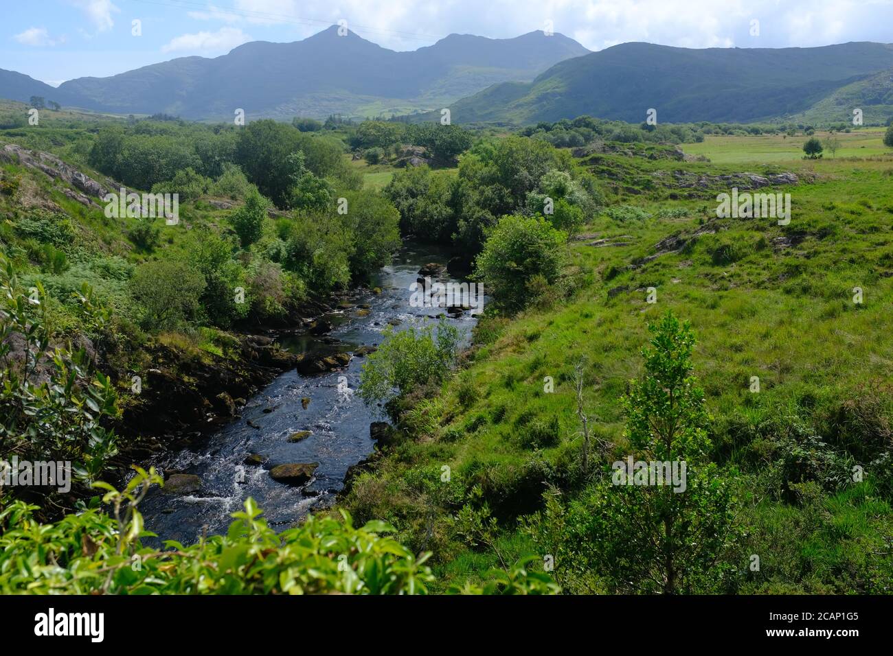 Spaziergang auf dem Kerry Way in 2019 in Count Kerry in Der Süden Irlands rund um die Halbinsel Iveragh Glenbeigh Nach Glencare Stockfotohttps://www.alamy.de/image-license-details/?v=1https://www.alamy.de/spaziergang-auf-dem-kerry-way-in-2019-in-count-kerry-in-der-suden-irlands-rund-um-die-halbinsel-iveragh-glenbeigh-nach-glencare-image368048469.html
RF2CAP1G5–Spaziergang auf dem Kerry Way in 2019 in Count Kerry in Der Süden Irlands rund um die Halbinsel Iveragh Glenbeigh Nach Glencare
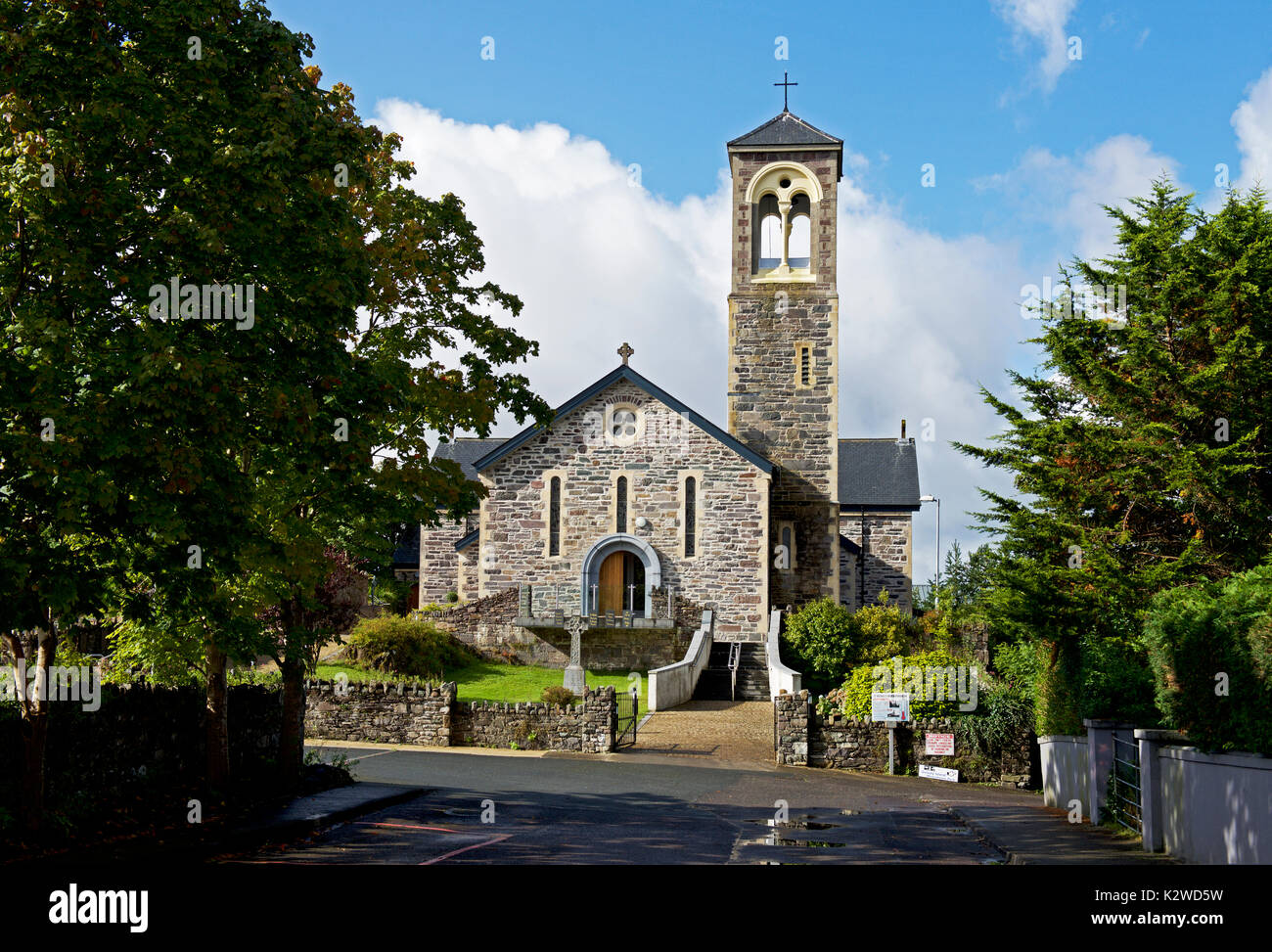 Sneem, Iveragh Halbinsel, Co Kerry, Irland Stockfotohttps://www.alamy.de/image-license-details/?v=1https://www.alamy.de/sneem-iveragh-halbinsel-co-kerry-irland-image156681781.html
RMK2WD5W–Sneem, Iveragh Halbinsel, Co Kerry, Irland
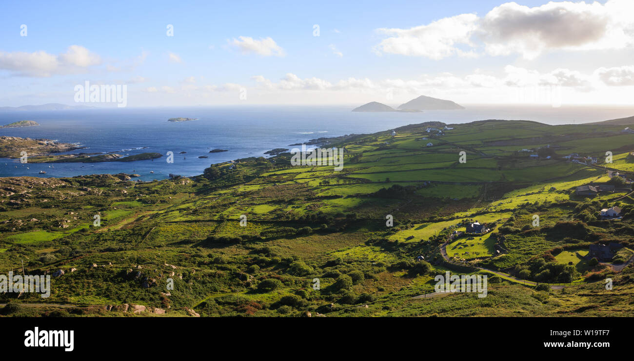 Ring of Kerry, Irland, Panorama Meerblick über die Bucht von Bealtra Derrynane, Iveragh Halbinsel Stockfotohttps://www.alamy.de/image-license-details/?v=1https://www.alamy.de/ring-of-kerry-irland-panorama-meerblick-uber-die-bucht-von-bealtra-derrynane-iveragh-halbinsel-image258986987.html
RMW19TF7–Ring of Kerry, Irland, Panorama Meerblick über die Bucht von Bealtra Derrynane, Iveragh Halbinsel
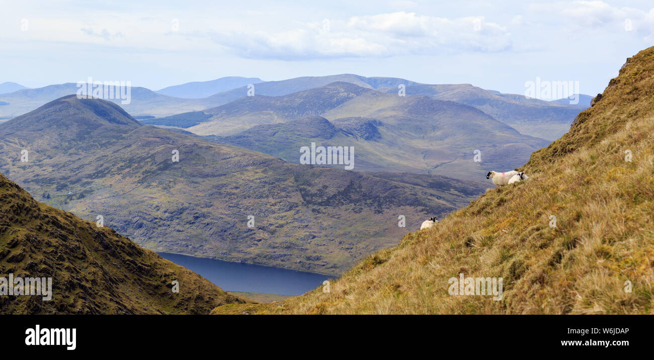 Panoramablick auf Schafe weiden an den Hängen des Berges Mullaghanattin auf der Iveragh Halbinsel im County Kerry, Irland. Stockfotohttps://www.alamy.de/image-license-details/?v=1https://www.alamy.de/panoramablick-auf-schafe-weiden-an-den-hangen-des-berges-mullaghanattin-auf-der-iveragh-halbinsel-im-county-kerry-irland-image262249086.html
RFW6JDAP–Panoramablick auf Schafe weiden an den Hängen des Berges Mullaghanattin auf der Iveragh Halbinsel im County Kerry, Irland.
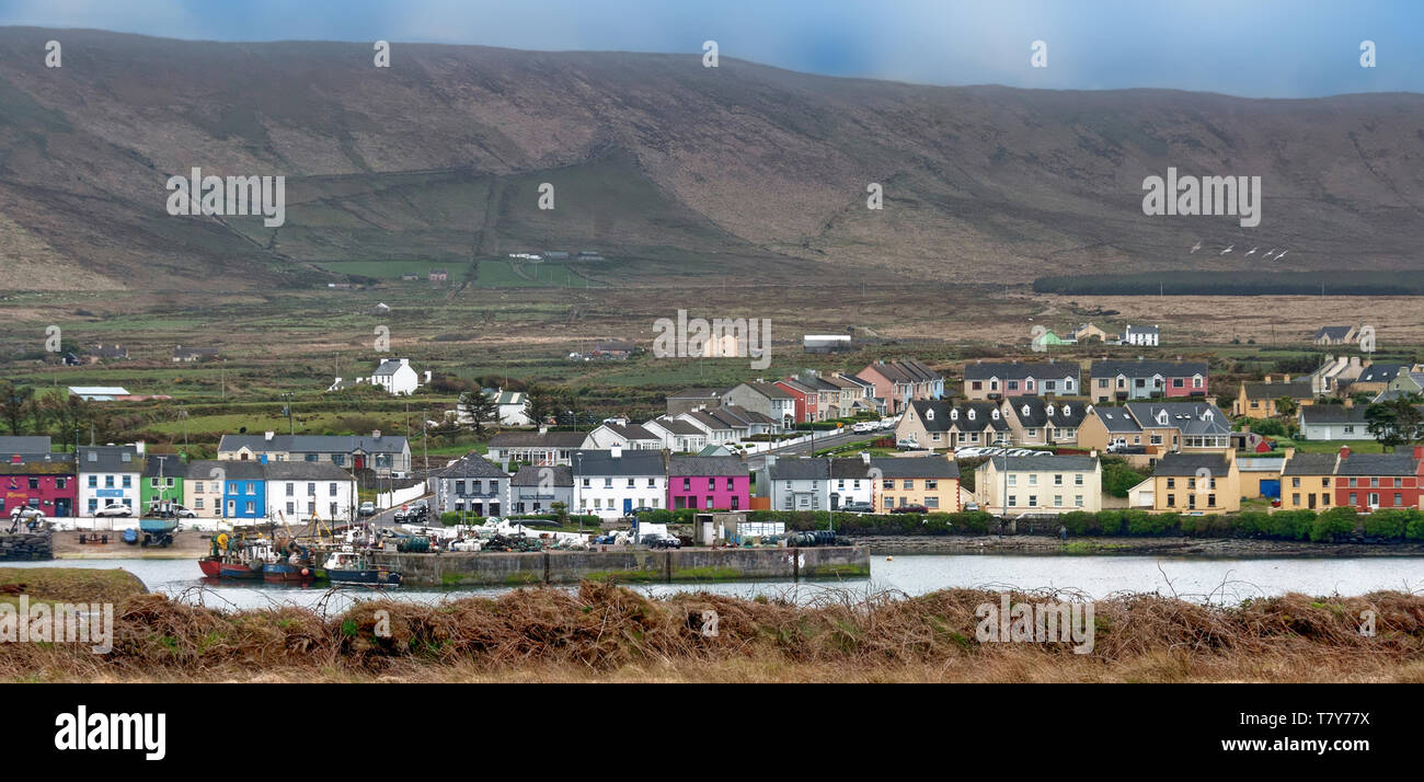 Portmagee ist ein Dorf in der Grafschaft Kerry, Irland. Das Dorf liegt auf der Iveragh Halbinsel südlich von Valentia Island entfernt. Stockfotohttps://www.alamy.de/image-license-details/?v=1https://www.alamy.de/portmagee-ist-ein-dorf-in-der-grafschaft-kerry-irland-das-dorf-liegt-auf-der-iveragh-halbinsel-sudlich-von-valentia-island-entfernt-image245846158.html
RFT7Y77X–Portmagee ist ein Dorf in der Grafschaft Kerry, Irland. Das Dorf liegt auf der Iveragh Halbinsel südlich von Valentia Island entfernt.
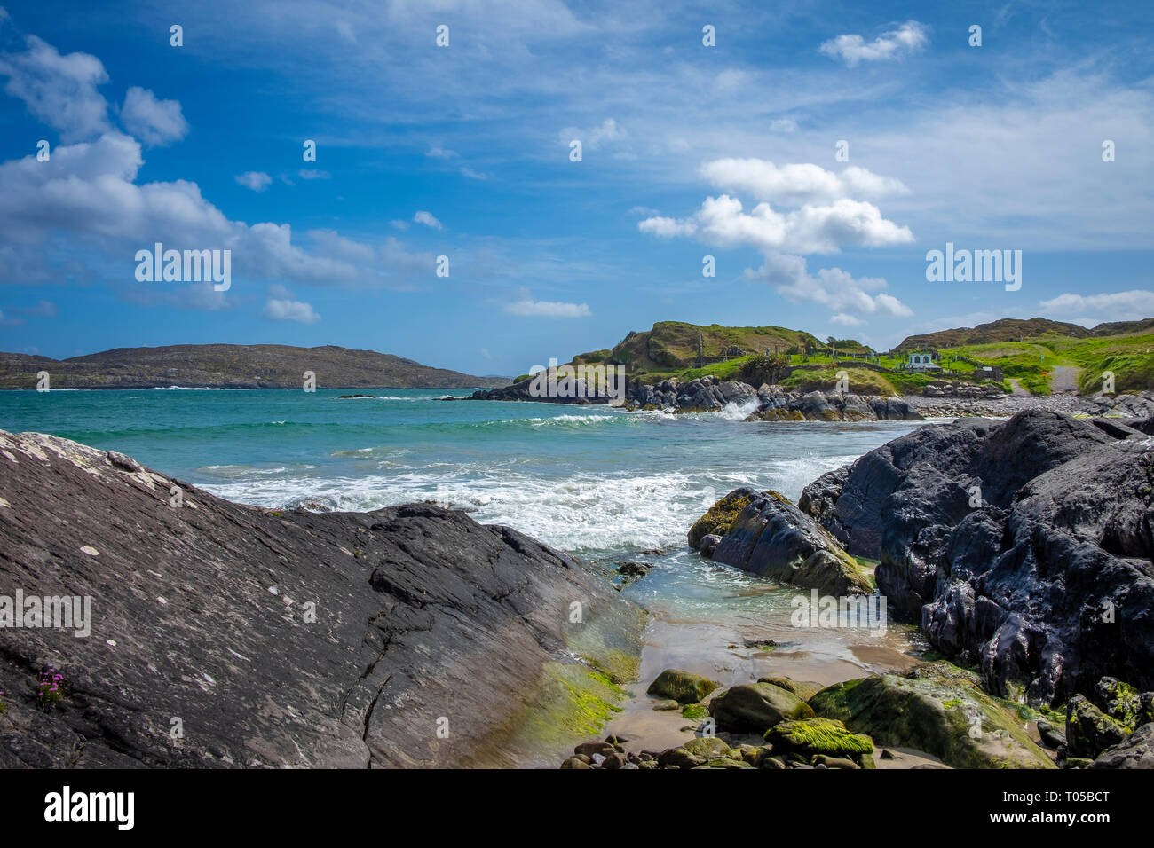 Derrynane Beach, Abbey Island, Ring of Kerry, die Iveragh Halbinsel, Co Kerry, Irland Stockfotohttps://www.alamy.de/image-license-details/?v=1https://www.alamy.de/derrynane-beach-abbey-island-ring-of-kerry-die-iveragh-halbinsel-co-kerry-irland-image241063896.html
RFT05BCT–Derrynane Beach, Abbey Island, Ring of Kerry, die Iveragh Halbinsel, Co Kerry, Irland
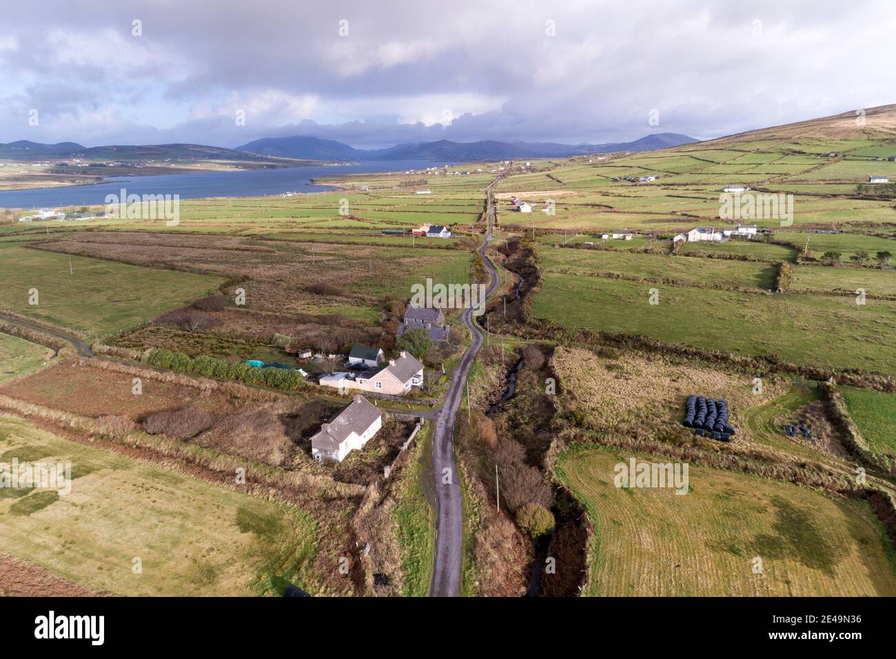 Iveragh Peninsula in der Nähe von Portmagee County Kerry, Irland Stockfotohttps://www.alamy.de/image-license-details/?v=1https://www.alamy.de/iveragh-peninsula-in-der-nahe-von-portmagee-county-kerry-irland-image398511210.html
RM2E49N36–Iveragh Peninsula in der Nähe von Portmagee County Kerry, Irland
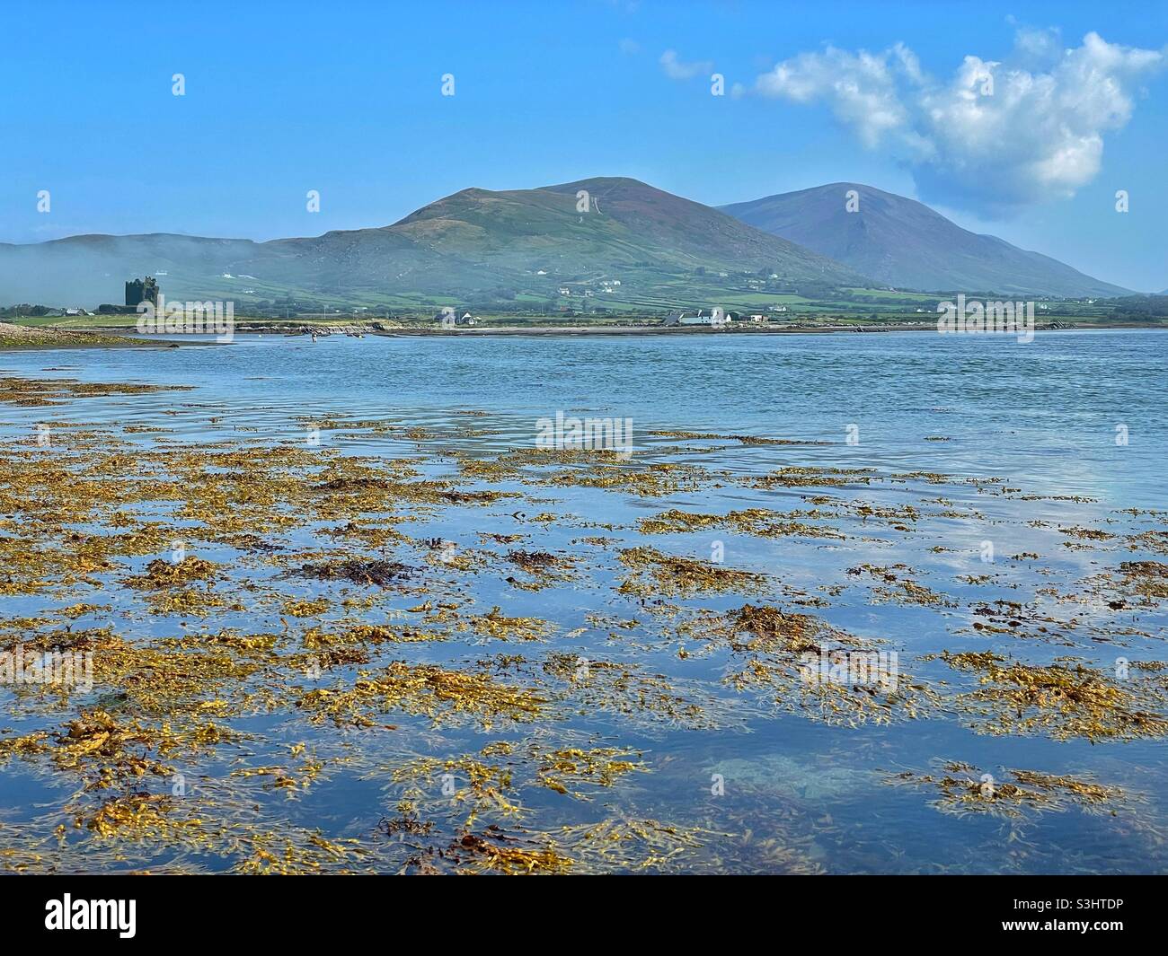 Ballycarberry Castle in der Nähe von Cahersiveen, Halbinsel Iveragh, County Kerry, Irland, August. Stockfotohttps://www.alamy.de/image-license-details/?v=1https://www.alamy.de/ballycarberry-castle-in-der-nahe-von-cahersiveen-halbinsel-iveragh-county-kerry-irland-august-image312022978.html
RFS3HTDP–Ballycarberry Castle in der Nähe von Cahersiveen, Halbinsel Iveragh, County Kerry, Irland, August.
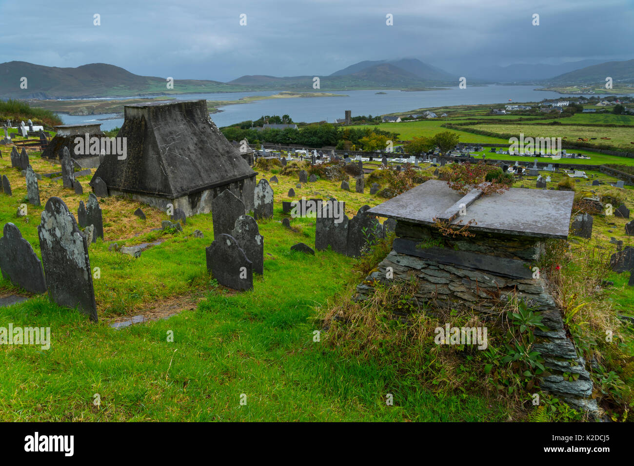 Knightstown Friedhof, Valentia Island Iveragh Halbinsel, County Kerry, Irland, Europa. September 2015. Stockfotohttps://www.alamy.de/image-license-details/?v=1https://www.alamy.de/knightstown-friedhof-valentia-island-iveragh-halbinsel-county-kerry-irland-europa-september-2015-image156417917.html
RMK2DCJ5–Knightstown Friedhof, Valentia Island Iveragh Halbinsel, County Kerry, Irland, Europa. September 2015.
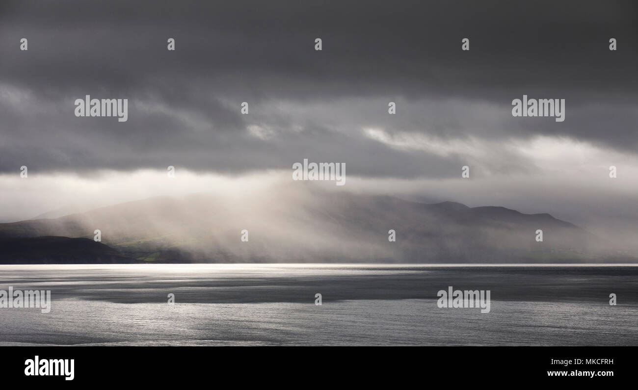 Clearing Sturm über der Iveragh Halbinsel und der macgillycuddy Reeks, County Kerry Irland Stockfotohttps://www.alamy.de/image-license-details/?v=1https://www.alamy.de/clearing-sturm-uber-der-iveragh-halbinsel-und-der-macgillycuddy-reeks-county-kerry-irland-image184057989.html
RFMKCFRH–Clearing Sturm über der Iveragh Halbinsel und der macgillycuddy Reeks, County Kerry Irland
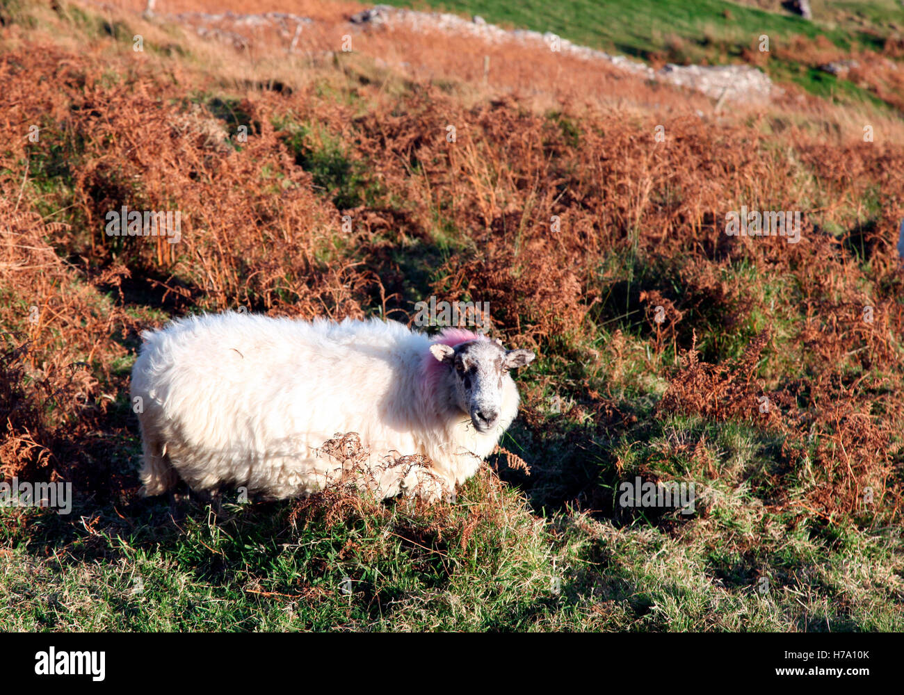 Weiden am Bolus Head, Iveragh-Halbinsel, Co. Kerry Hill-ewe Stockfotohttps://www.alamy.de/image-license-details/?v=1https://www.alamy.de/stockfoto-weiden-am-bolus-head-iveragh-halbinsel-co-kerry-hill-ewe-124995491.html
RMH7A10K–Weiden am Bolus Head, Iveragh-Halbinsel, Co. Kerry Hill-ewe
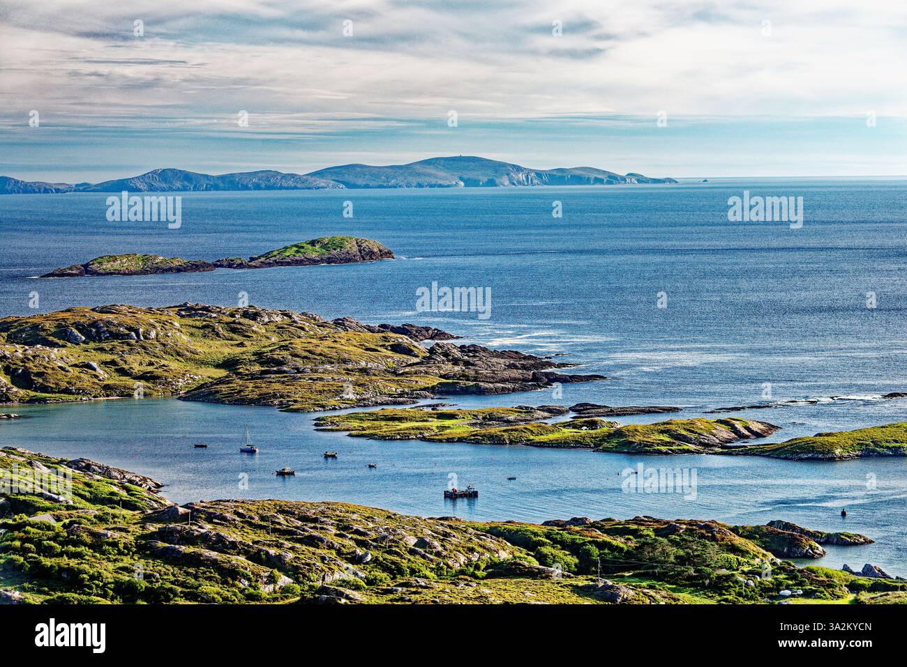 Südlich über den Hafen von Derrynane und Abbey Island auf der Halbinsel Iveragh, Kerry, Irland, Dursey Island in der Ferne Stockfotohttps://www.alamy.de/image-license-details/?v=1https://www.alamy.de/sudlich-uber-den-hafen-von-derrynane-und-abbey-island-auf-der-halbinsel-iveragh-kerry-irland-dursey-island-in-der-ferne-image655661909.html
RM3A2KYCN–Südlich über den Hafen von Derrynane und Abbey Island auf der Halbinsel Iveragh, Kerry, Irland, Dursey Island in der Ferne
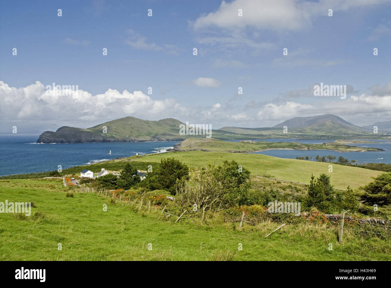 Irland, Munster, Kerry, Iveragh-Halbinsel, Valencia Island, Berge, Wasser, Felder, Landschaft, Natur, Wiesen, Ufer, See, Ansicht, Himmel, Wolken, menschenleer, Stockfotohttps://www.alamy.de/image-license-details/?v=1https://www.alamy.de/stockfoto-irland-munster-kerry-iveragh-halbinsel-valencia-island-berge-wasser-felder-landschaft-natur-wiesen-ufer-see-ansicht-himmel-wolken-menschenleer-123010561.html
RMH43H69–Irland, Munster, Kerry, Iveragh-Halbinsel, Valencia Island, Berge, Wasser, Felder, Landschaft, Natur, Wiesen, Ufer, See, Ansicht, Himmel, Wolken, menschenleer,
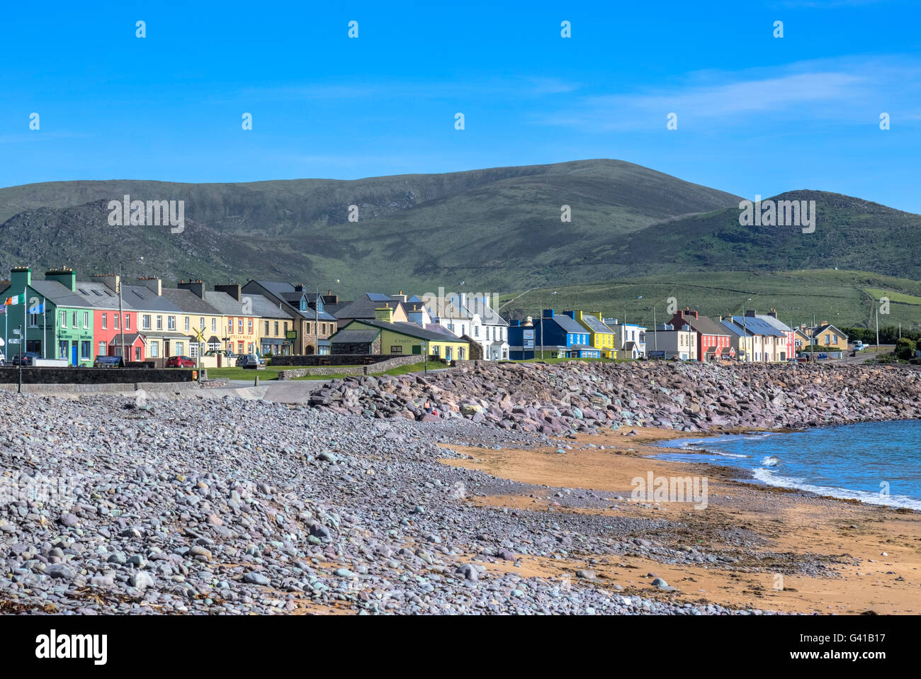 Waterville, Iveragh-Halbinsel, County Kerry, Irland Stockfotohttps://www.alamy.de/image-license-details/?v=1https://www.alamy.de/stockfoto-waterville-iveragh-halbinsel-county-kerry-irland-105751443.html
RFG41B17–Waterville, Iveragh-Halbinsel, County Kerry, Irland
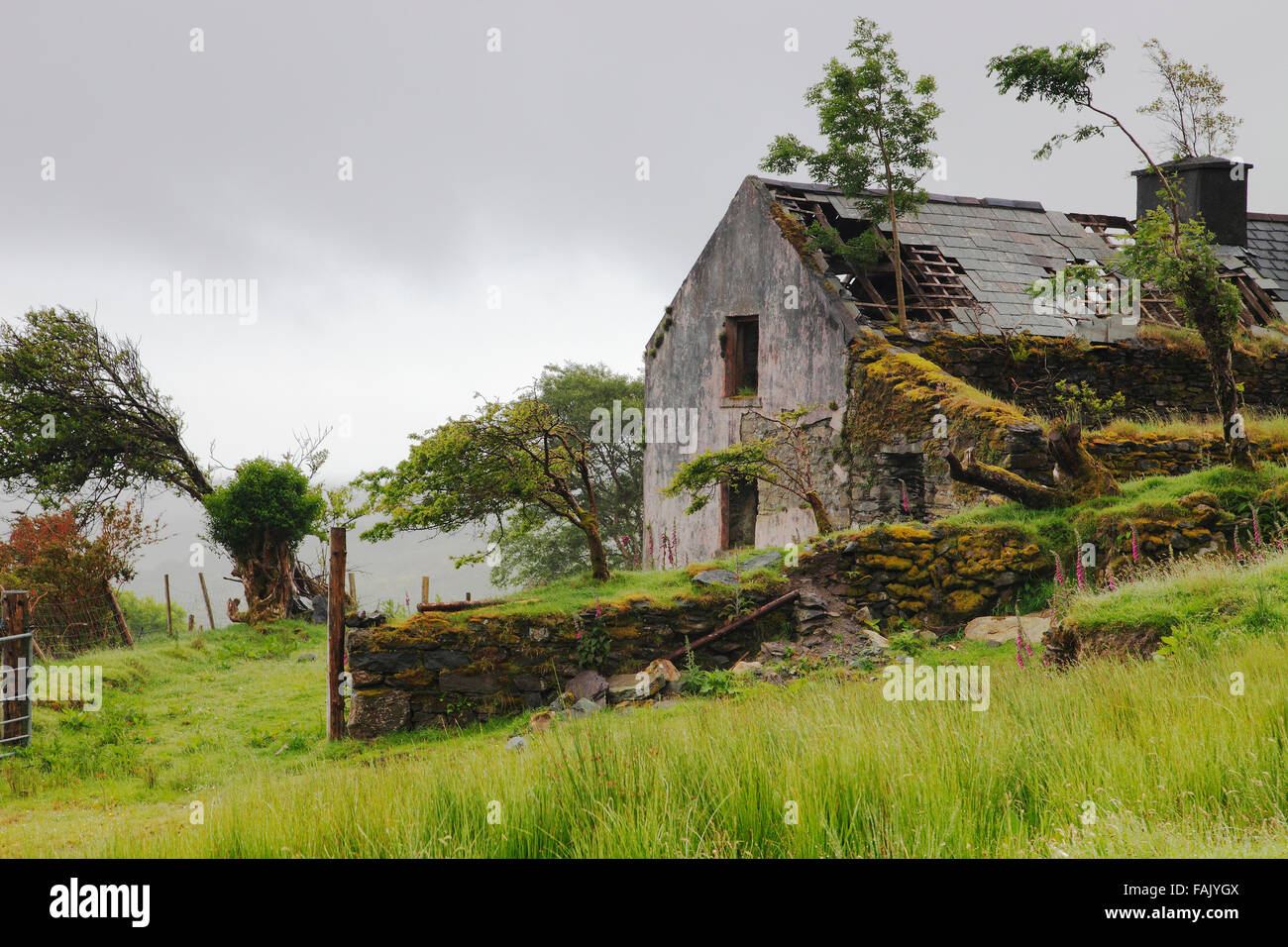 Alte verlassene Hütte in den Bergen von Iveragh-Halbinsel, Co. Kerry, Irland Stockfotohttps://www.alamy.de/image-license-details/?v=1https://www.alamy.de/stockfoto-alte-verlassene-hutte-in-den-bergen-von-iveragh-halbinsel-co-kerry-irland-92615178.html
RMFAJYGX–Alte verlassene Hütte in den Bergen von Iveragh-Halbinsel, Co. Kerry, Irland
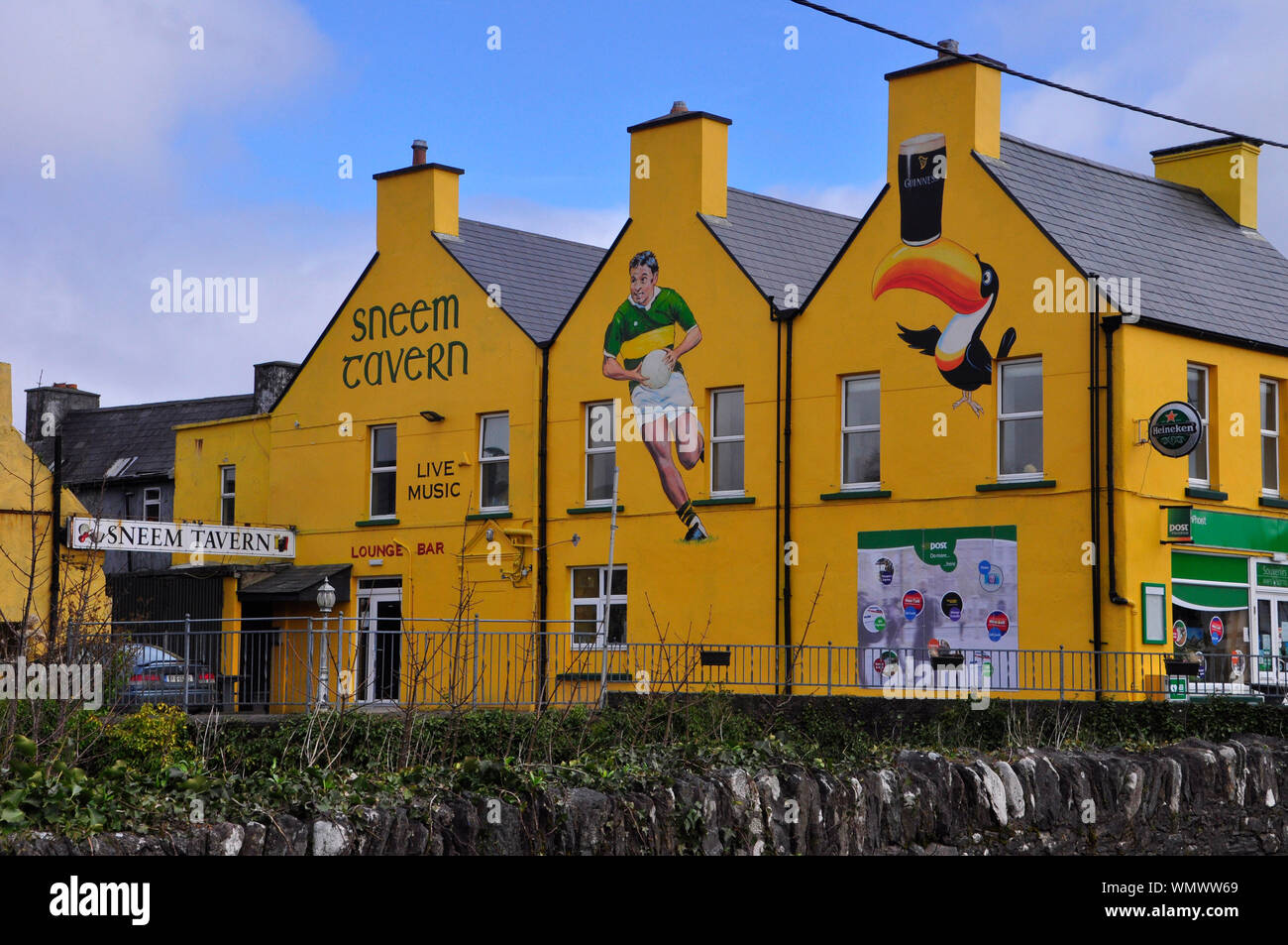 Hell gestrichenen Taverne im Dorf Sneem auf der Iveragh Halbinsel, County Kerry in Irland Stockfotohttps://www.alamy.de/image-license-details/?v=1https://www.alamy.de/hell-gestrichenen-taverne-im-dorf-sneem-auf-der-iveragh-halbinsel-county-kerry-in-irland-image271017217.html
RFWMWW69–Hell gestrichenen Taverne im Dorf Sneem auf der Iveragh Halbinsel, County Kerry in Irland
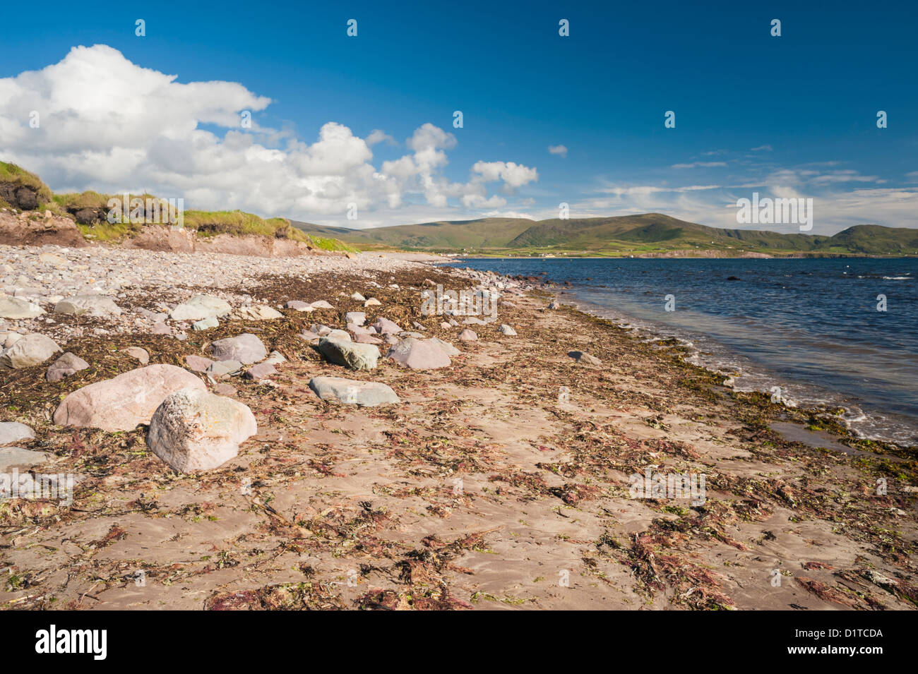 Waterville Beach, Iveragh-Halbinsel, County Kerry, Irland. Die Landschaft wurde stark beeinflusst durch die Eiszeit Eiszeit Stockfotohttps://www.alamy.de/image-license-details/?v=1https://www.alamy.de/stockfoto-waterville-beach-iveragh-halbinsel-county-kerry-irland-die-landschaft-wurde-stark-beeinflusst-durch-die-eiszeit-eiszeit-52782390.html
RMD1TCDA–Waterville Beach, Iveragh-Halbinsel, County Kerry, Irland. Die Landschaft wurde stark beeinflusst durch die Eiszeit Eiszeit
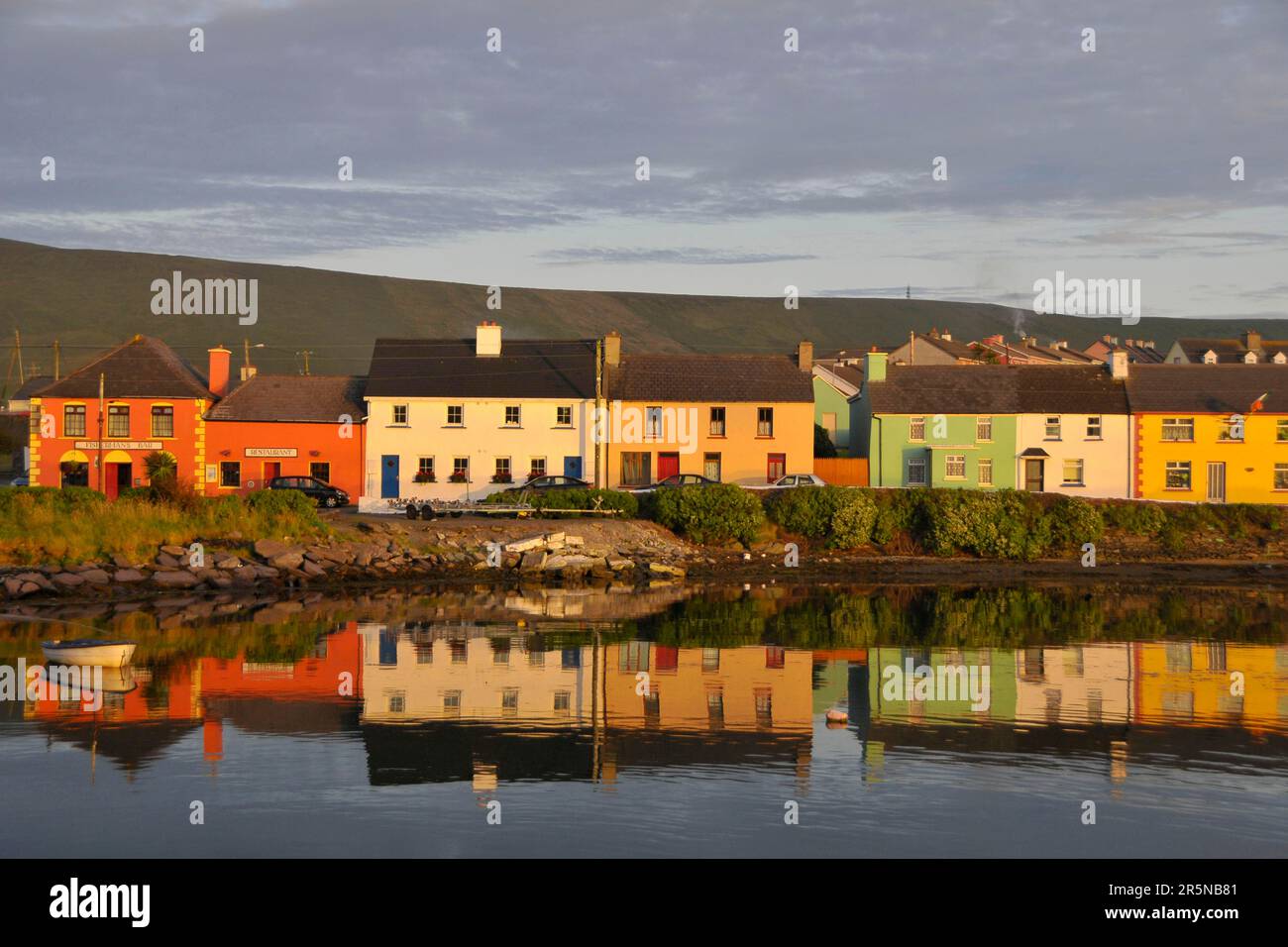 Portmagee, Port of Portmagee, Iveragh Peninsula, County Kerry, Irland Stockfotohttps://www.alamy.de/image-license-details/?v=1https://www.alamy.de/portmagee-port-of-portmagee-iveragh-peninsula-county-kerry-irland-image554274897.html
RM2R5NB81–Portmagee, Port of Portmagee, Iveragh Peninsula, County Kerry, Irland
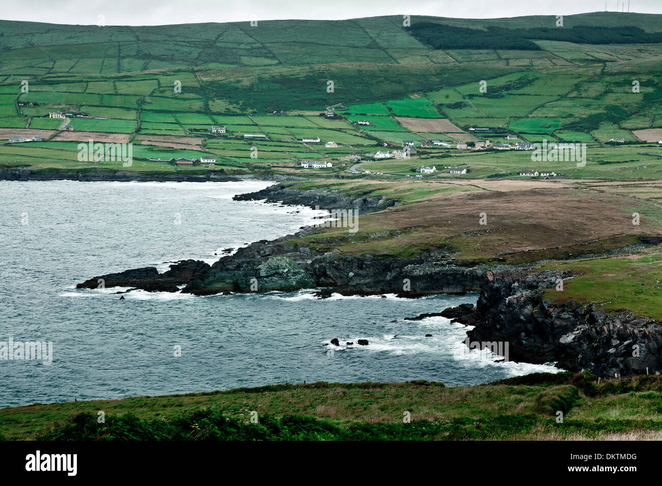 Küstenlandschaft in den Skellig Ring, Iveragh-Halbinsel. County Kerry, Irland, Europa. Stockfotohttps://www.alamy.de/image-license-details/?v=1https://www.alamy.de/kustenlandschaft-in-den-skellig-ring-iveragh-halbinsel-county-kerry-irland-europa-image63852476.html
RMDKTMDG–Küstenlandschaft in den Skellig Ring, Iveragh-Halbinsel. County Kerry, Irland, Europa.
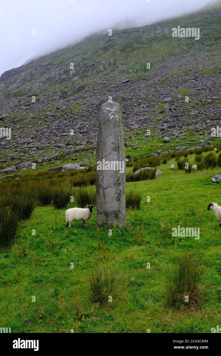 Spaziergang auf dem Kerry Way in 2019 in Count Kerry in Der Süden Irlands rund um die Halbinsel Iveragh Glencaré Nach Black Valley Stockfotohttps://www.alamy.de/image-license-details/?v=1https://www.alamy.de/spaziergang-auf-dem-kerry-way-in-2019-in-count-kerry-in-der-suden-irlands-rund-um-die-halbinsel-iveragh-glencar-nach-black-valley-image368145028.html
RF2CAXCMM–Spaziergang auf dem Kerry Way in 2019 in Count Kerry in Der Süden Irlands rund um die Halbinsel Iveragh Glencaré Nach Black Valley
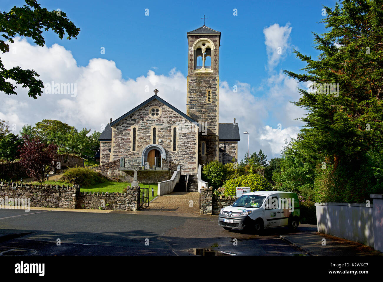 St Michael's Church, Sneem, Iveragh Halbinsel, Co Kerry, Irland Stockfotohttps://www.alamy.de/image-license-details/?v=1https://www.alamy.de/st-michaels-church-sneem-iveragh-halbinsel-co-kerry-irland-image156686663.html
RMK2WKC7–St Michael's Church, Sneem, Iveragh Halbinsel, Co Kerry, Irland
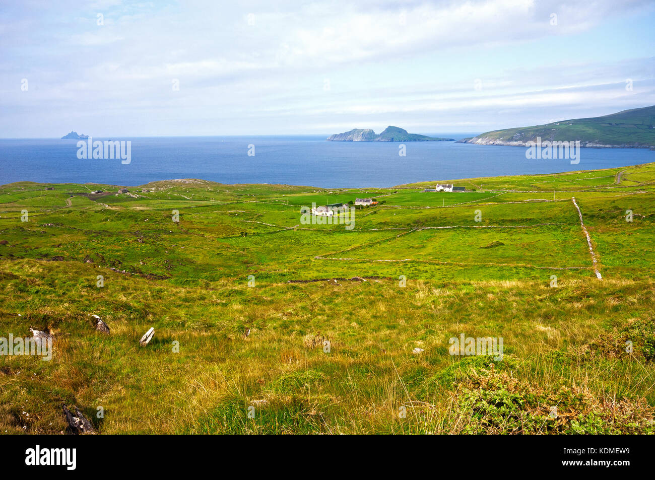 Blick auf den Atlantik von Iveragh Halbinsel, im Hintergrund Puffin Island (rechts) und Skellig Inseln (links), County Kerry, Irland Stockfotohttps://www.alamy.de/image-license-details/?v=1https://www.alamy.de/stockfoto-blick-auf-den-atlantik-von-iveragh-halbinsel-im-hintergrund-puffin-island-rechts-und-skellig-inseln-links-county-kerry-irland-163334565.html
RMKDMEW9–Blick auf den Atlantik von Iveragh Halbinsel, im Hintergrund Puffin Island (rechts) und Skellig Inseln (links), County Kerry, Irland
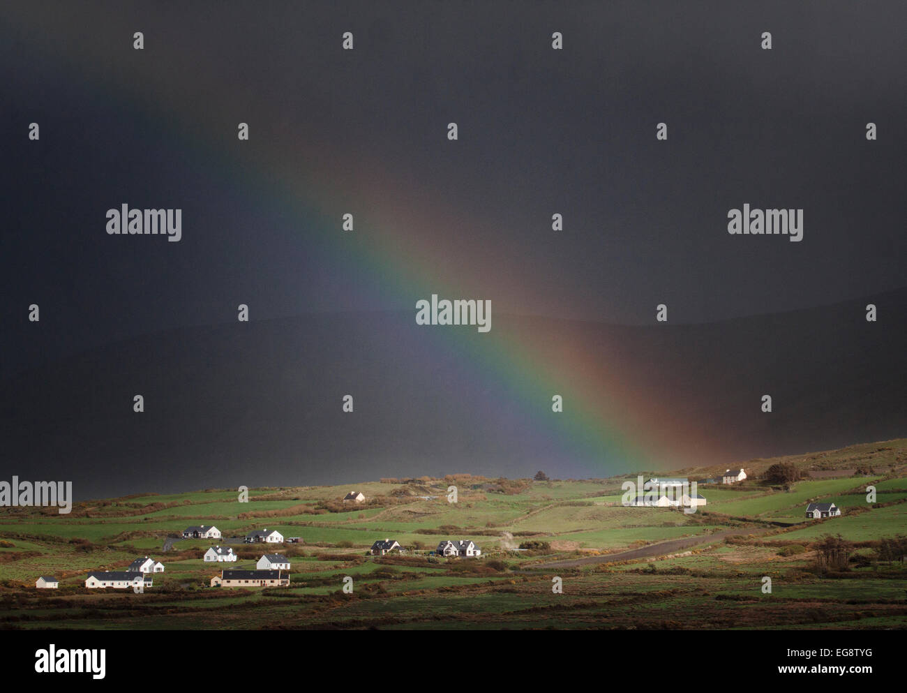 Regenbogen am Portmagee, Iveragh-Halbinsel, County Kerry, Irland-IRL Stockfotohttps://www.alamy.de/image-license-details/?v=1https://www.alamy.de/stockfoto-regenbogen-am-portmagee-iveragh-halbinsel-county-kerry-irland-irl-78871172.html
RMEG8TYG–Regenbogen am Portmagee, Iveragh-Halbinsel, County Kerry, Irland-IRL
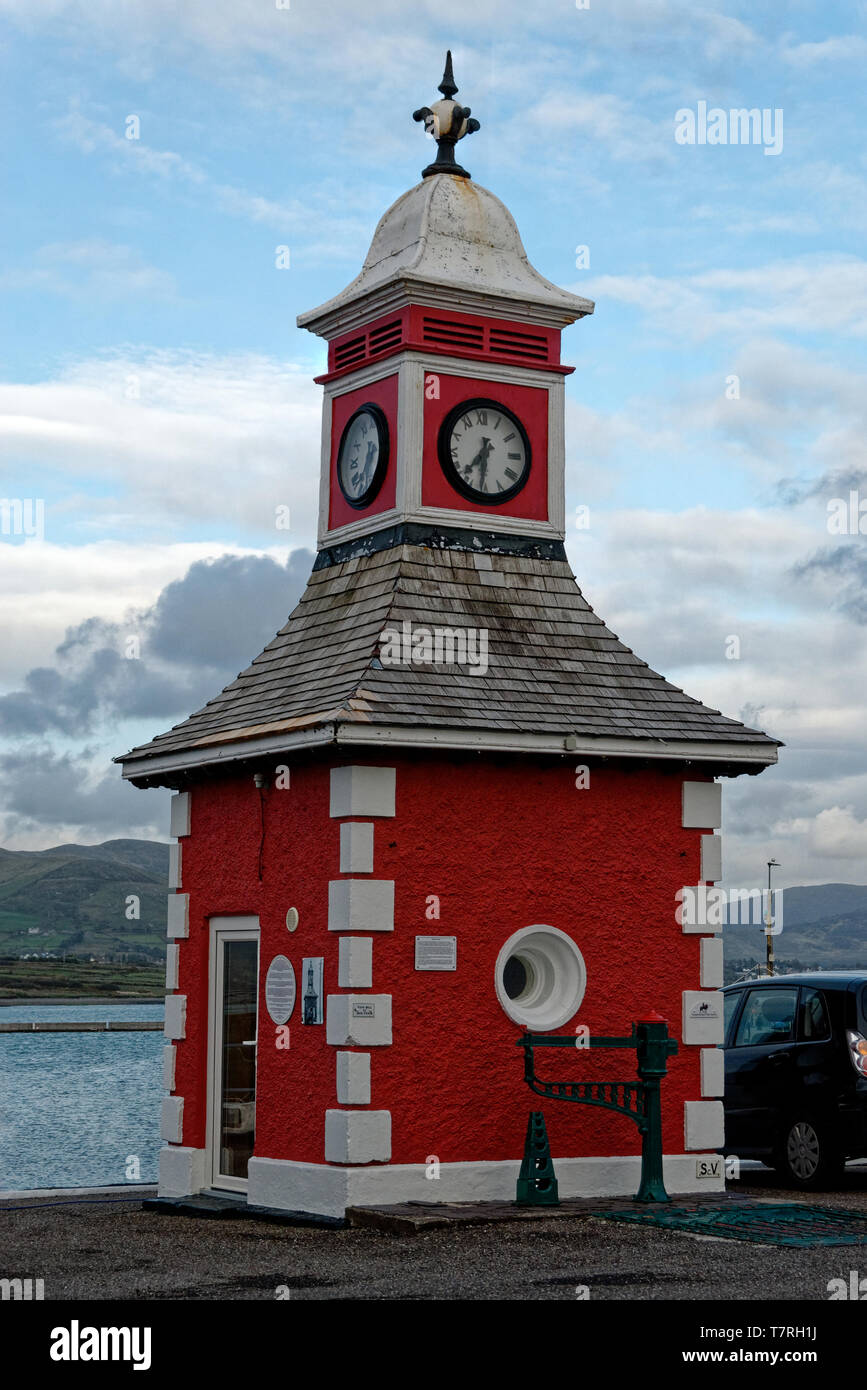 Valentia Island (irisch: Dairbhre, was bedeutet, dass "Die Eiche") ist eines der Westlichsten Irlands Punkte. Es liegt abseits der Iveragh Halbinsel im Südwesten Stockfotohttps://www.alamy.de/image-license-details/?v=1https://www.alamy.de/valentia-island-irisch-dairbhre-was-bedeutet-dass-die-eiche-ist-eines-der-westlichsten-irlands-punkte-es-liegt-abseits-der-iveragh-halbinsel-im-sudwesten-image245766014.html
RFT7RH1J–Valentia Island (irisch: Dairbhre, was bedeutet, dass "Die Eiche") ist eines der Westlichsten Irlands Punkte. Es liegt abseits der Iveragh Halbinsel im Südwesten
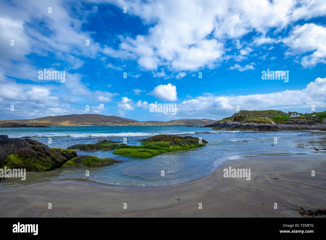 Derrynane Beach, Abbey Island, Ring of Kerry, die Iveragh Halbinsel, Co Kerry, Irland Stockfotohttps://www.alamy.de/image-license-details/?v=1https://www.alamy.de/derrynane-beach-abbey-island-ring-of-kerry-die-iveragh-halbinsel-co-kerry-irland-image241064224.html
RFT05BTG–Derrynane Beach, Abbey Island, Ring of Kerry, die Iveragh Halbinsel, Co Kerry, Irland
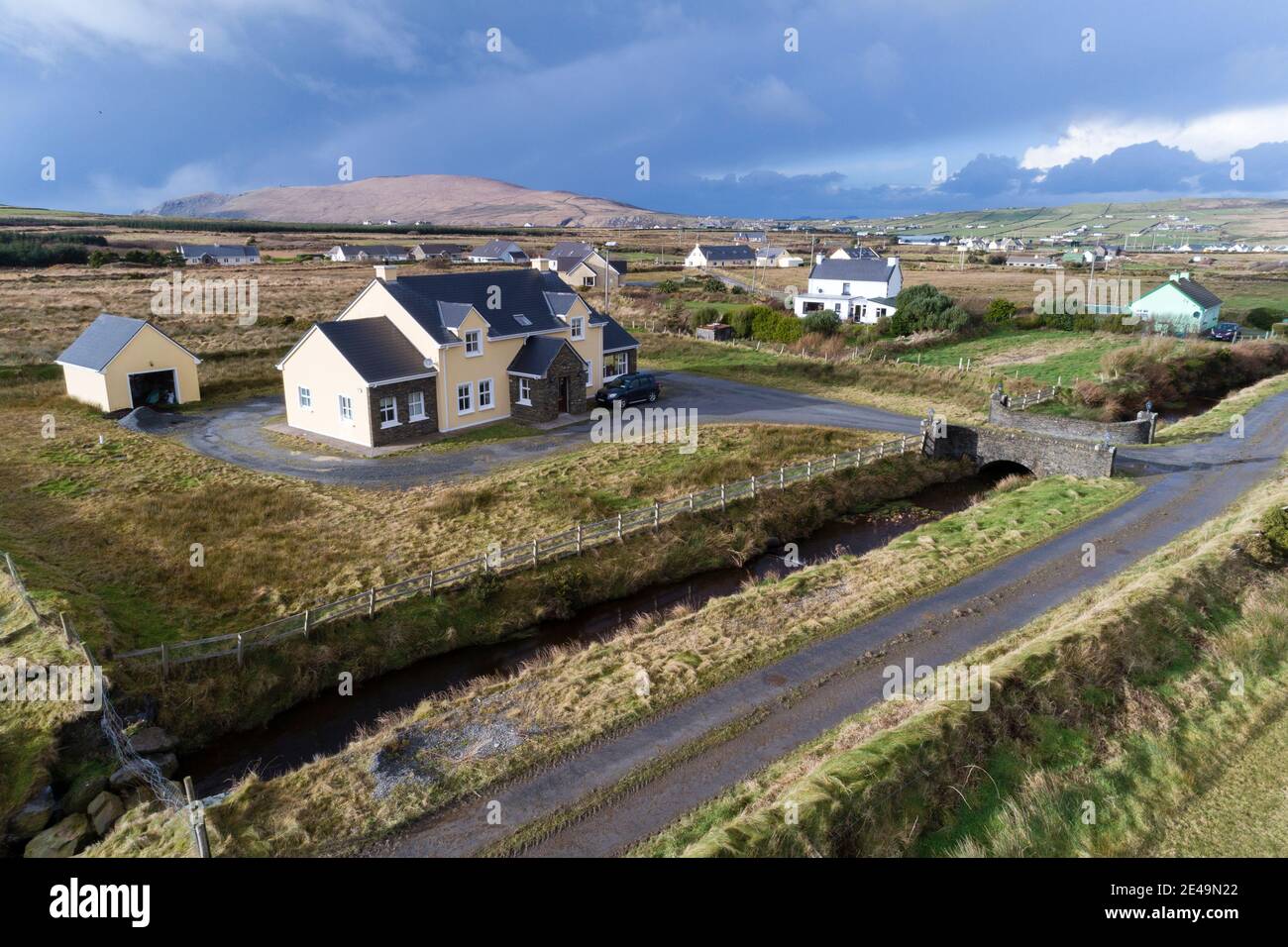 Iveragh Peninsula in der Nähe von Portmagee County Kerry, Irland Stockfotohttps://www.alamy.de/image-license-details/?v=1https://www.alamy.de/iveragh-peninsula-in-der-nahe-von-portmagee-county-kerry-irland-image398511178.html
RM2E49N22–Iveragh Peninsula in der Nähe von Portmagee County Kerry, Irland
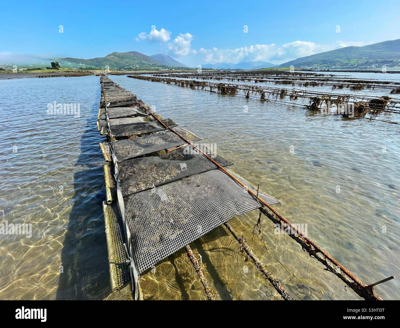 Austernfarm in den flachen Gewässern unterhalb der Ballycarberry Castle, Halbinsel Iveragh, Cahersiveen, County Kerry, Irland, August. Stockfotohttps://www.alamy.de/image-license-details/?v=1https://www.alamy.de/austernfarm-in-den-flachen-gewassern-unterhalb-der-ballycarberry-castle-halbinsel-iveragh-cahersiveen-county-kerry-irland-august-image312022980.html
RMS3HTDT–Austernfarm in den flachen Gewässern unterhalb der Ballycarberry Castle, Halbinsel Iveragh, Cahersiveen, County Kerry, Irland, August.
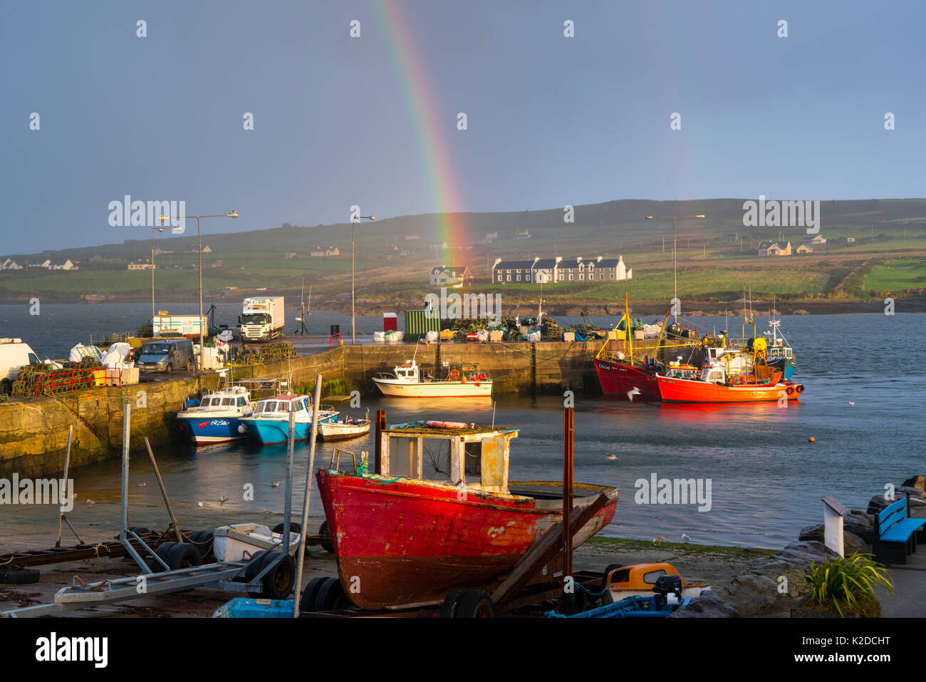 Regenbogen über Portmagee Hafen, die Iveragh Halbinsel, County Kerry, Irland, Europa. September 2015. Stockfotohttps://www.alamy.de/image-license-details/?v=1https://www.alamy.de/regenbogen-uber-portmagee-hafen-die-iveragh-halbinsel-county-kerry-irland-europa-september-2015-image156417908.html
RMK2DCHT–Regenbogen über Portmagee Hafen, die Iveragh Halbinsel, County Kerry, Irland, Europa. September 2015.
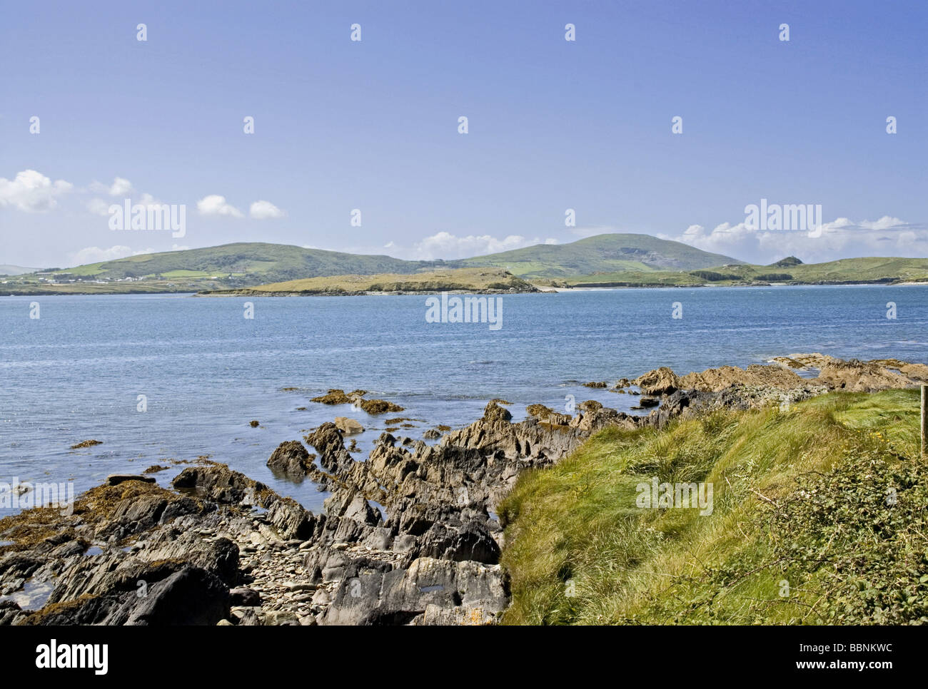 Geographie/Reisen, Irland, Landschaften, Iveragh Halbinsel, Ring of Kerry, Cahirciveen, ballycarbery "Weißen Strand", Additional-Rights - Clearance-Info - Not-Available Stockfotohttps://www.alamy.de/image-license-details/?v=1https://www.alamy.de/stockfoto-geographiereisen-irland-landschaften-iveragh-halbinsel-ring-of-kerry-cahirciveen-ballycarbery-weissen-strand-additional-rights-clearance-info-not-available-24448184.html
RMBBNKWC–Geographie/Reisen, Irland, Landschaften, Iveragh Halbinsel, Ring of Kerry, Cahirciveen, ballycarbery "Weißen Strand", Additional-Rights - Clearance-Info - Not-Available
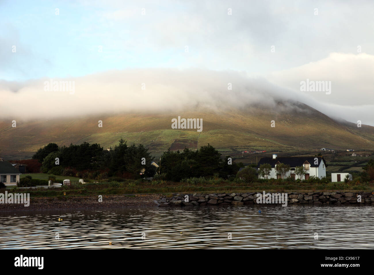 Am frühen Morgennebel, Ballinskelligs, Iveragh-Halbinsel, Co Kerry, Irland Stockfotohttps://www.alamy.de/image-license-details/?v=1https://www.alamy.de/stockfoto-am-fruhen-morgennebel-ballinskelligs-iveragh-halbinsel-co-kerry-irland-50604099.html
RMCX9617–Am frühen Morgennebel, Ballinskelligs, Iveragh-Halbinsel, Co Kerry, Irland
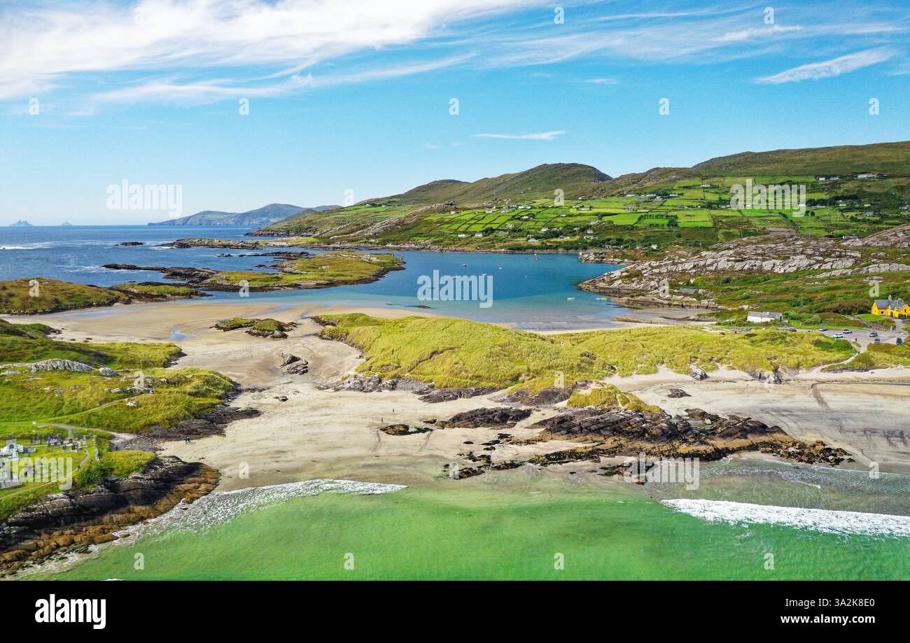 Derrynane Bay Strand westlich von Caherdaniel am Ring of Kerry, Iveragh Halbinsel, Irland. Blick nach Westen. Heimstadion von Daniel O’Connell Stockfotohttps://www.alamy.de/image-license-details/?v=1https://www.alamy.de/derrynane-bay-strand-westlich-von-caherdaniel-am-ring-of-kerry-iveragh-halbinsel-irland-blick-nach-westen-heimstadion-von-daniel-oconnell-image655647048.html
RM3A2K8E0–Derrynane Bay Strand westlich von Caherdaniel am Ring of Kerry, Iveragh Halbinsel, Irland. Blick nach Westen. Heimstadion von Daniel O’Connell
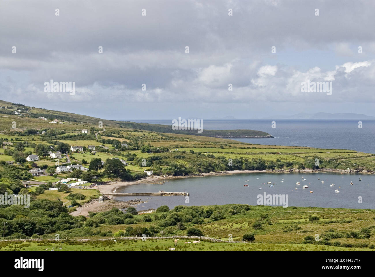 Irland, Kerry, Munster, Iveragh-Halbinsel, ring Kerry, Kells Bay, Meeresbucht, Meer, Schiffe, Landschaft, Küste, Küstenlandschaft, Ansicht, Himmel, Cloudies, Stockfotohttps://www.alamy.de/image-license-details/?v=1https://www.alamy.de/stockfoto-irland-kerry-munster-iveragh-halbinsel-ring-kerry-kells-bay-meeresbucht-meer-schiffe-landschaft-kuste-kustenlandschaft-ansicht-himmel-cloudies-123003307.html
RMH437Y7–Irland, Kerry, Munster, Iveragh-Halbinsel, ring Kerry, Kells Bay, Meeresbucht, Meer, Schiffe, Landschaft, Küste, Küstenlandschaft, Ansicht, Himmel, Cloudies,
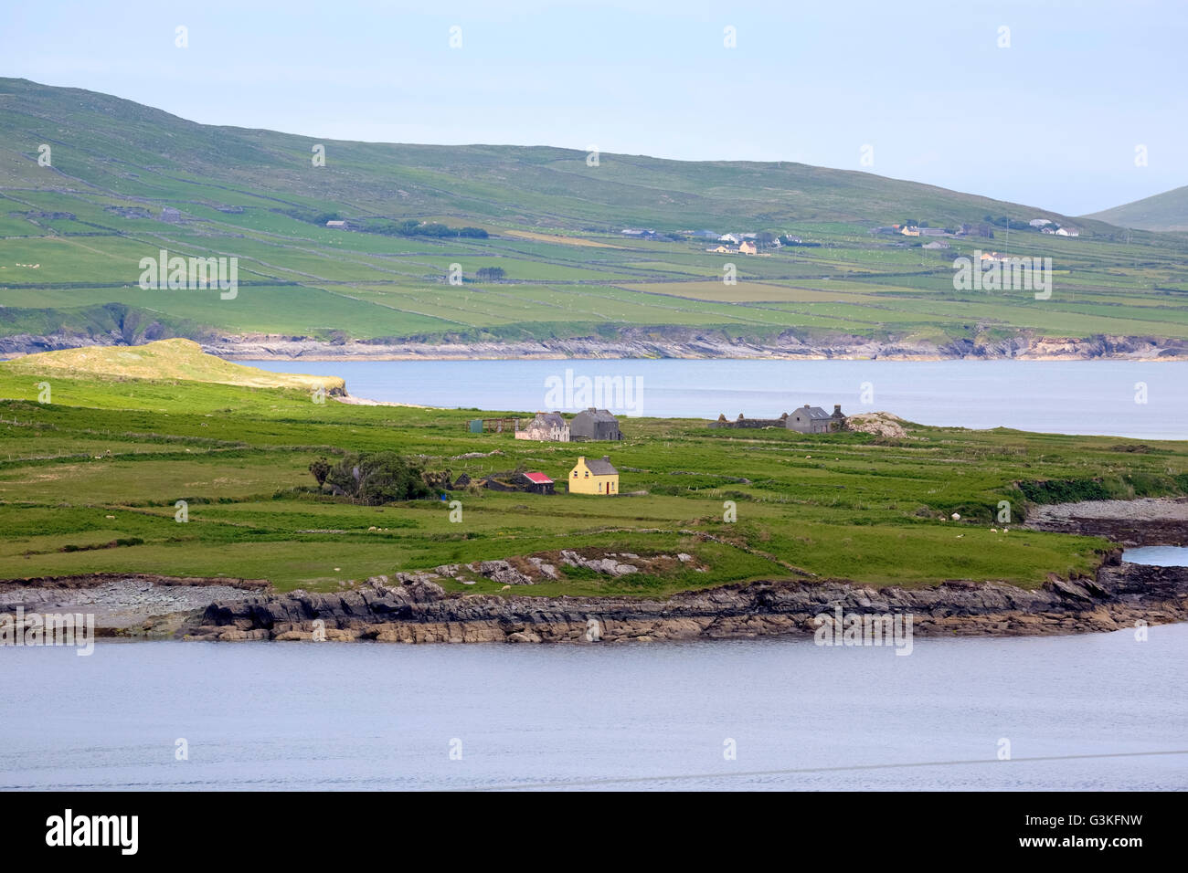 Valentia Island, Iveragh-Halbinsel, Skellig Ring, Kerry, Irland, Europa Stockfotohttps://www.alamy.de/image-license-details/?v=1https://www.alamy.de/stockfoto-valentia-island-iveragh-halbinsel-skellig-ring-kerry-irland-europa-105535637.html
RFG3KFNW–Valentia Island, Iveragh-Halbinsel, Skellig Ring, Kerry, Irland, Europa
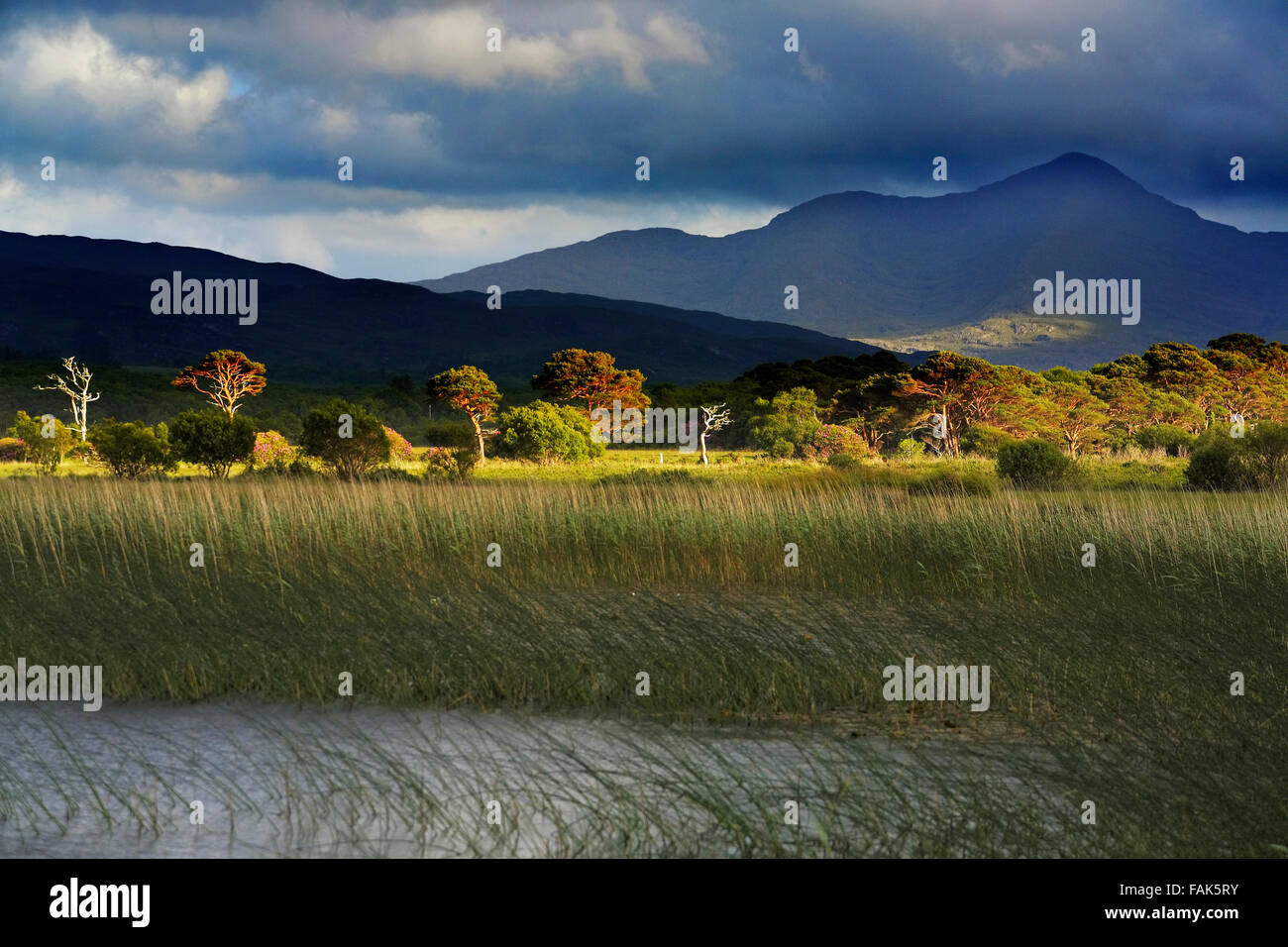 Lough Caragh auf der Iveragh-Halbinsel, County Kerry, Irland Stockfotohttps://www.alamy.de/image-license-details/?v=1https://www.alamy.de/stockfoto-lough-caragh-auf-der-iveragh-halbinsel-county-kerry-irland-92620079.html
RMFAK5RY–Lough Caragh auf der Iveragh-Halbinsel, County Kerry, Irland
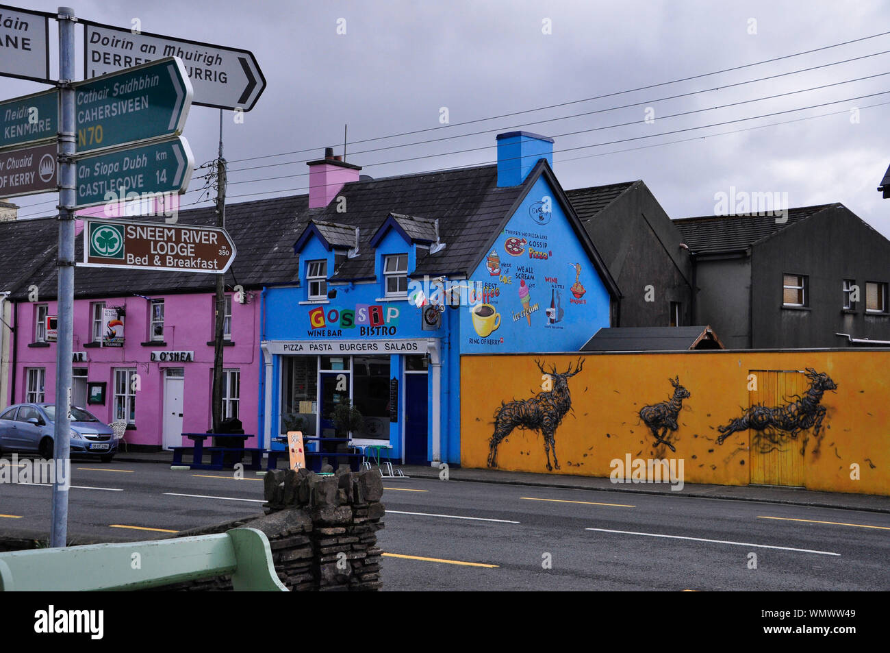 Bunt bemalten Häuser im Dorf Sneem auf der Iveragh Halbinsel im County Kerry in der Republik Irland Stockfotohttps://www.alamy.de/image-license-details/?v=1https://www.alamy.de/bunt-bemalten-hauser-im-dorf-sneem-auf-der-iveragh-halbinsel-im-county-kerry-in-der-republik-irland-image271017161.html
RFWMWW49–Bunt bemalten Häuser im Dorf Sneem auf der Iveragh Halbinsel im County Kerry in der Republik Irland
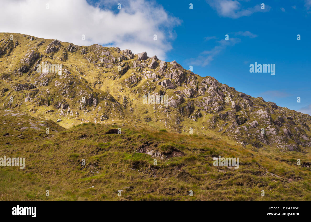 Eagles Hill, Iveragh-Halbinsel, County Kerry, Irland Stockfotohttps://www.alamy.de/image-license-details/?v=1https://www.alamy.de/stockfoto-eagles-hill-iveragh-halbinsel-county-kerry-irland-54158658.html
RMD433WP–Eagles Hill, Iveragh-Halbinsel, County Kerry, Irland
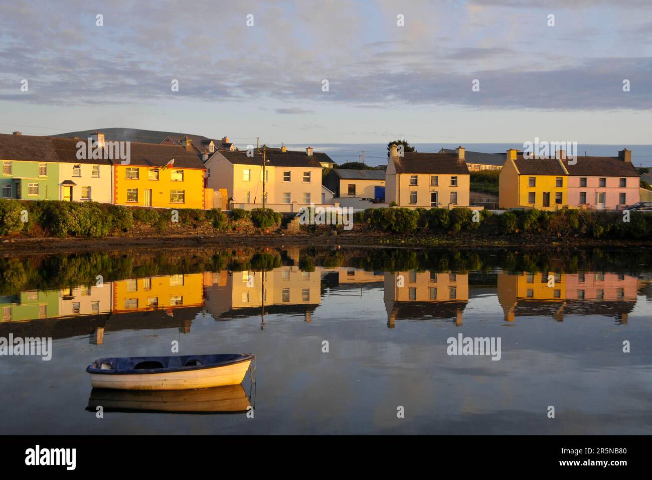 Portmagee, Port of Portmagee, Iveragh Peninsula, County Kerry, Irland Stockfotohttps://www.alamy.de/image-license-details/?v=1https://www.alamy.de/portmagee-port-of-portmagee-iveragh-peninsula-county-kerry-irland-image554274896.html
RM2R5NB80–Portmagee, Port of Portmagee, Iveragh Peninsula, County Kerry, Irland
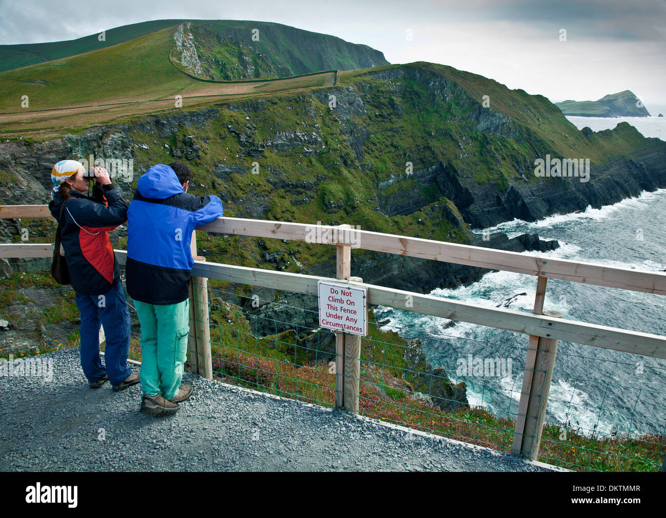 Küstenlandschaft in den Skellig Ring, Iveragh-Halbinsel. County Kerry, Irland, Europa. Stockfotohttps://www.alamy.de/image-license-details/?v=1https://www.alamy.de/kustenlandschaft-in-den-skellig-ring-iveragh-halbinsel-county-kerry-irland-europa-image63852679.html
RMDKTMMR–Küstenlandschaft in den Skellig Ring, Iveragh-Halbinsel. County Kerry, Irland, Europa.
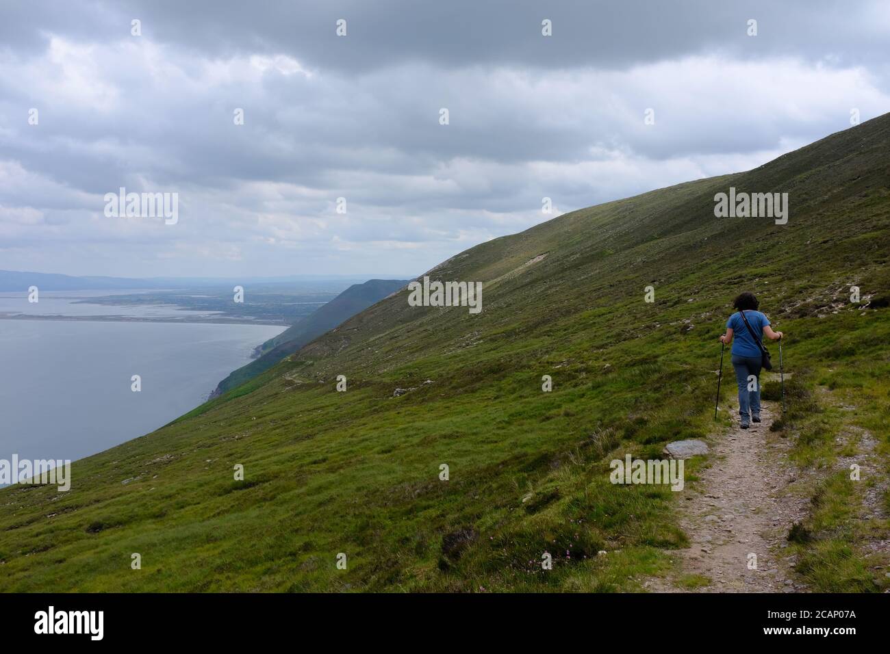 Spaziergang auf dem Kerry Way in 2019 in Count Kerry in Der Süden Irlands, der sich um den Abschnitt der Halbinsel Iveragh dreht Cahersiveen nach Glenbeigh Stockfotohttps://www.alamy.de/image-license-details/?v=1https://www.alamy.de/spaziergang-auf-dem-kerry-way-in-2019-in-count-kerry-in-der-suden-irlands-der-sich-um-den-abschnitt-der-halbinsel-iveragh-dreht-cahersiveen-nach-glenbeigh-image368047438.html
RF2CAP07A–Spaziergang auf dem Kerry Way in 2019 in Count Kerry in Der Süden Irlands, der sich um den Abschnitt der Halbinsel Iveragh dreht Cahersiveen nach Glenbeigh
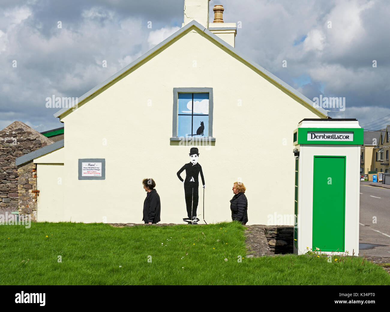 Wandbild von Charlie Chaplin bei Waterville, Iveragh Halbinsel, County Kerry, Irland Stockfotohttps://www.alamy.de/image-license-details/?v=1https://www.alamy.de/wandbild-von-charlie-chaplin-bei-waterville-iveragh-halbinsel-county-kerry-irland-image156843008.html
RMK34PT0–Wandbild von Charlie Chaplin bei Waterville, Iveragh Halbinsel, County Kerry, Irland
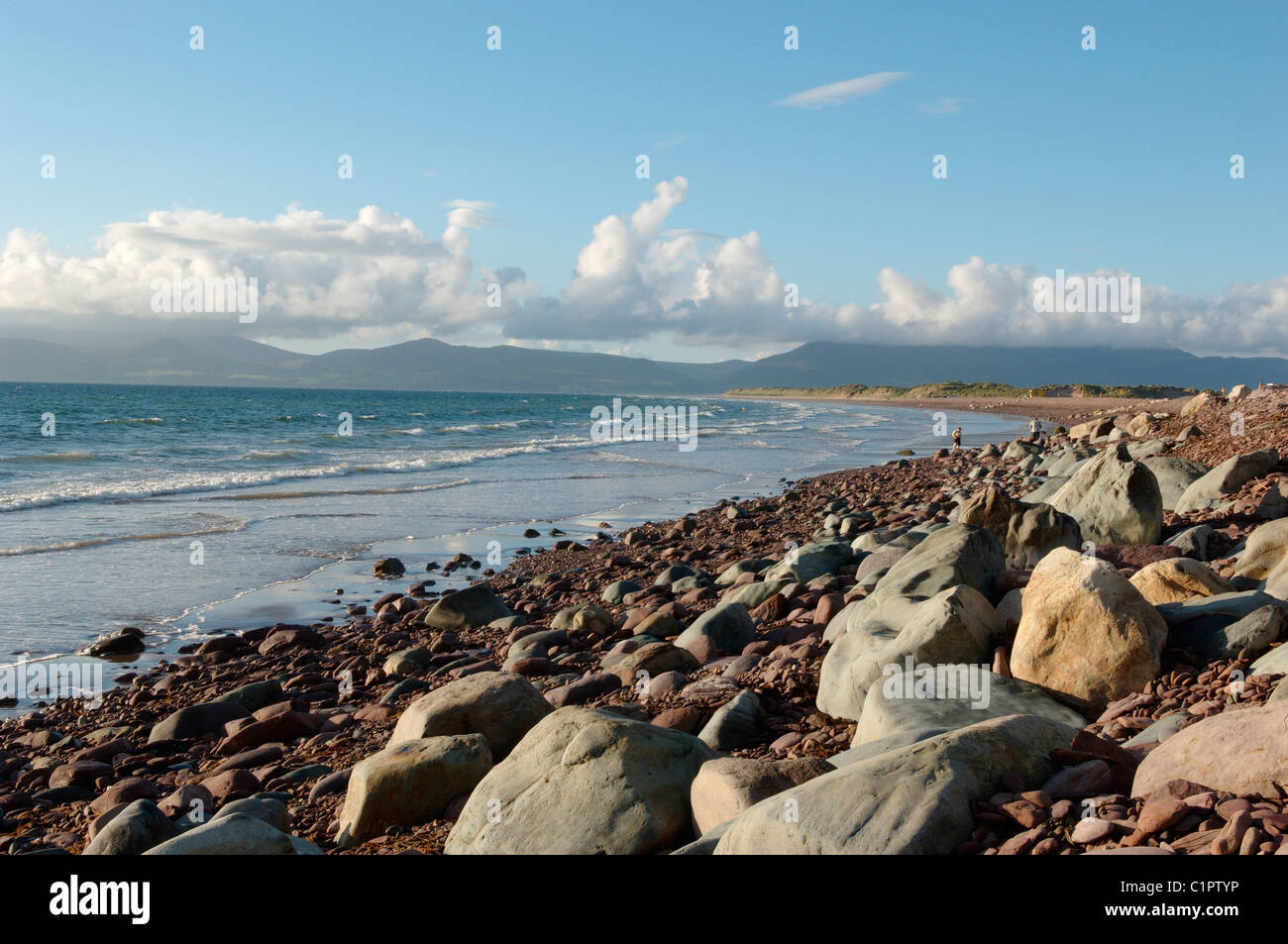 Republik von Irland, Iveragh-Halbinsel, Felsen an der Küste Stockfotohttps://www.alamy.de/image-license-details/?v=1https://www.alamy.de/stockfoto-republik-von-irland-iveragh-halbinsel-felsen-an-der-kuste-35537930.html
RMC1PTYP–Republik von Irland, Iveragh-Halbinsel, Felsen an der Küste
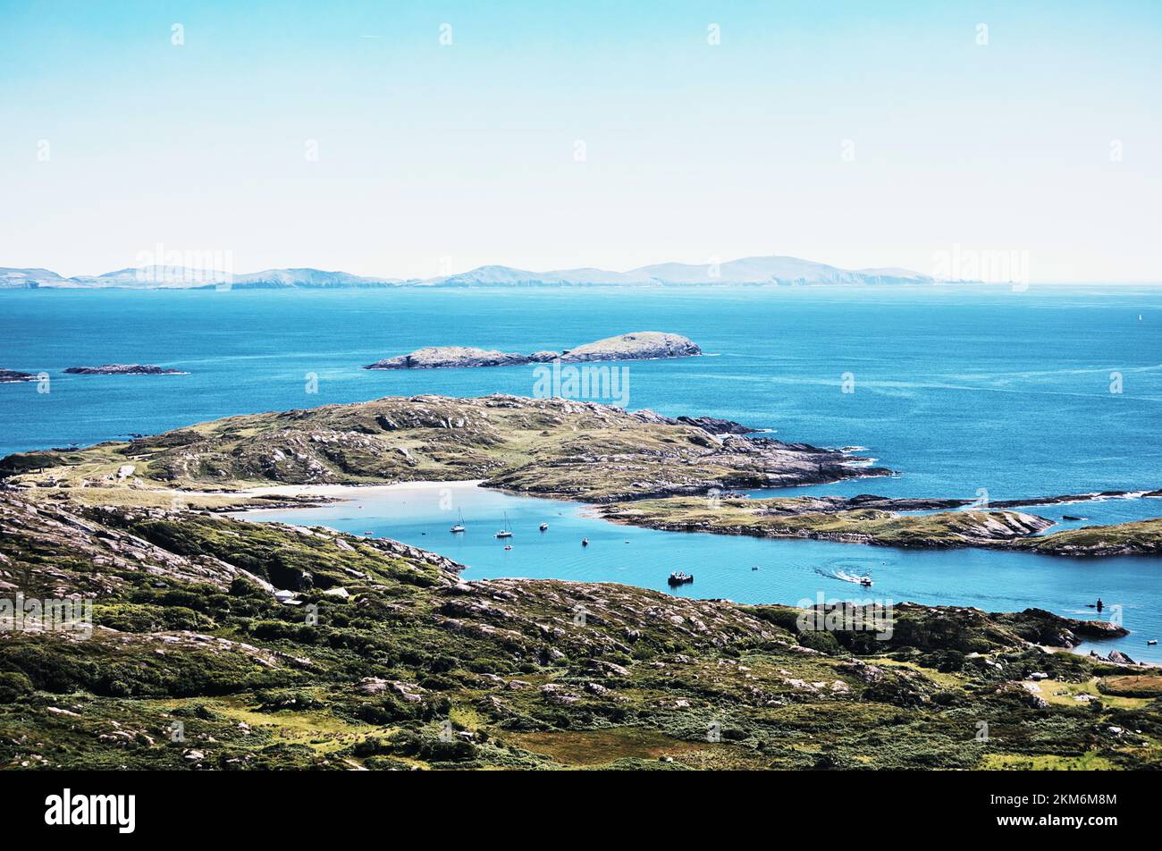 Derrynane Bay von oben, Iveragh Halbinsel, County Kerry, Irland Stockfotohttps://www.alamy.de/image-license-details/?v=1https://www.alamy.de/derrynane-bay-von-oben-iveragh-halbinsel-county-kerry-irland-image494331060.html
RM2KM6M8M–Derrynane Bay von oben, Iveragh Halbinsel, County Kerry, Irland
 Blick von der Iveragh-Halbinsel an der Atlantikküste der Grafschaft Kerry, Irland Stockfotohttps://www.alamy.de/image-license-details/?v=1https://www.alamy.de/blick-von-der-iveragh-halbinsel-an-der-atlantikkuste-der-grafschaft-kerry-irland-image464626427.html
RF2HYWFMY–Blick von der Iveragh-Halbinsel an der Atlantikküste der Grafschaft Kerry, Irland
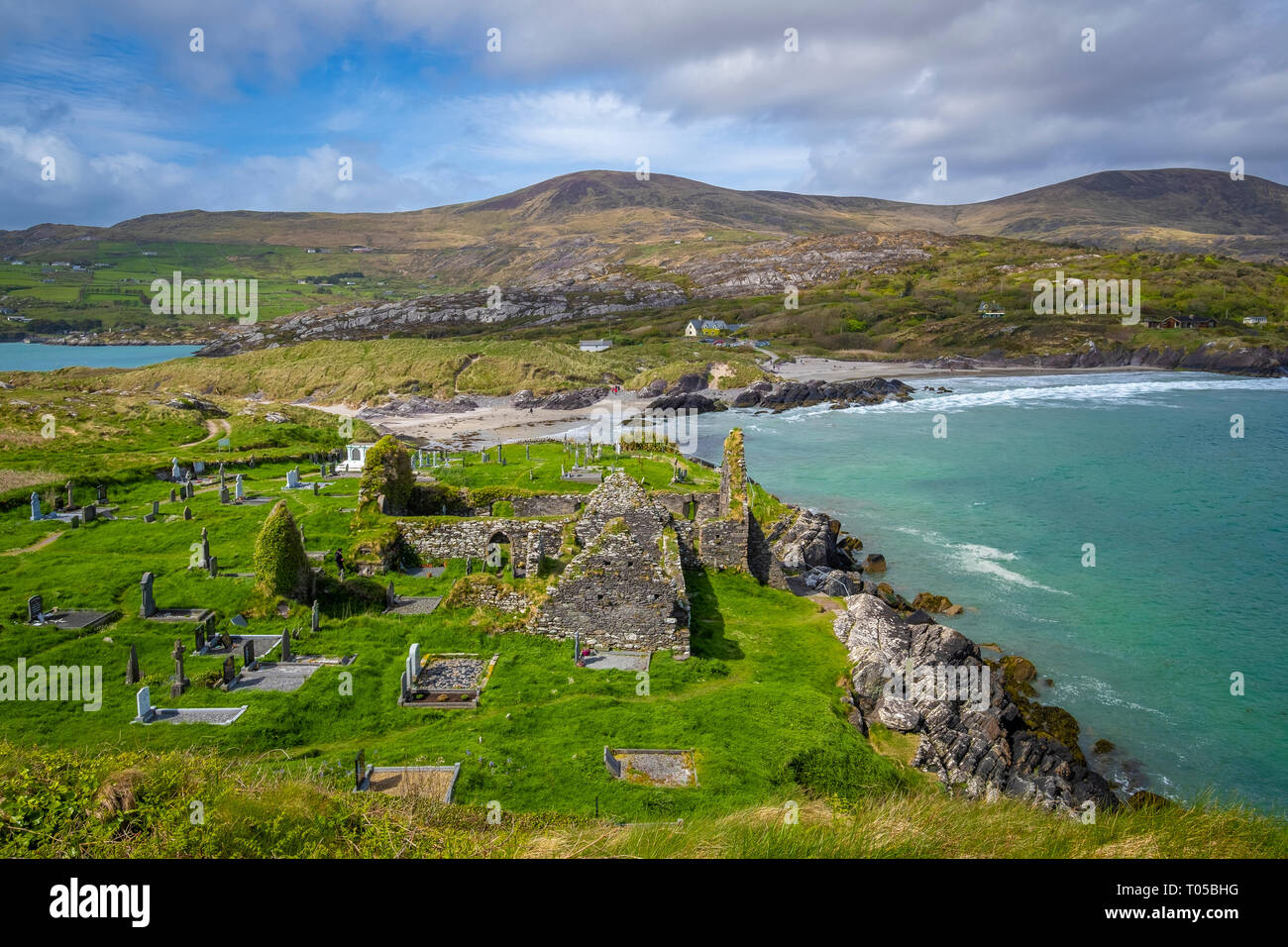 Derrynane Beach, Abbey Island, Ring of Kerry, die Iveragh Halbinsel, Co Kerry, Irland Stockfotohttps://www.alamy.de/image-license-details/?v=1https://www.alamy.de/derrynane-beach-abbey-island-ring-of-kerry-die-iveragh-halbinsel-co-kerry-irland-image241064028.html
RFT05BHG–Derrynane Beach, Abbey Island, Ring of Kerry, die Iveragh Halbinsel, Co Kerry, Irland
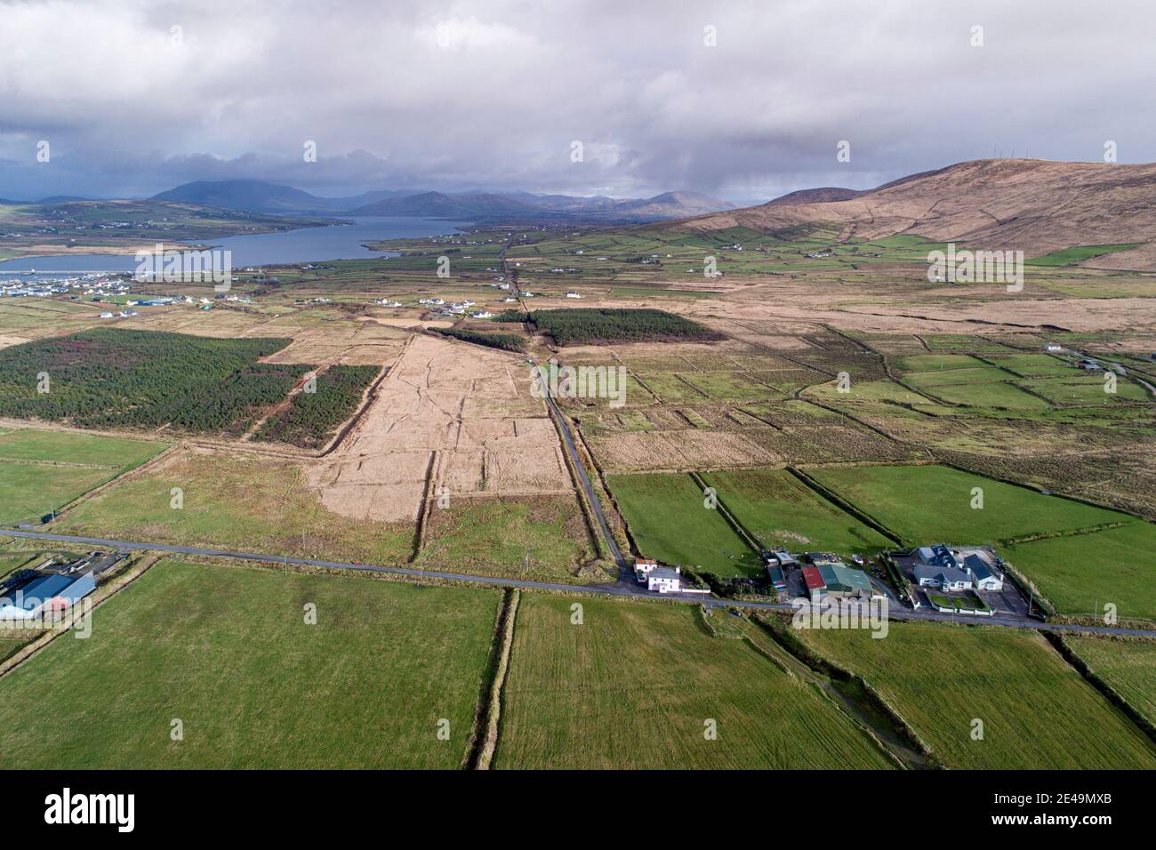 Iveragh Peninsula in der Nähe von Portmagee County Kerry, Irland Stockfotohttps://www.alamy.de/image-license-details/?v=1https://www.alamy.de/iveragh-peninsula-in-der-nahe-von-portmagee-county-kerry-irland-image398511075.html
RM2E49MXB–Iveragh Peninsula in der Nähe von Portmagee County Kerry, Irland
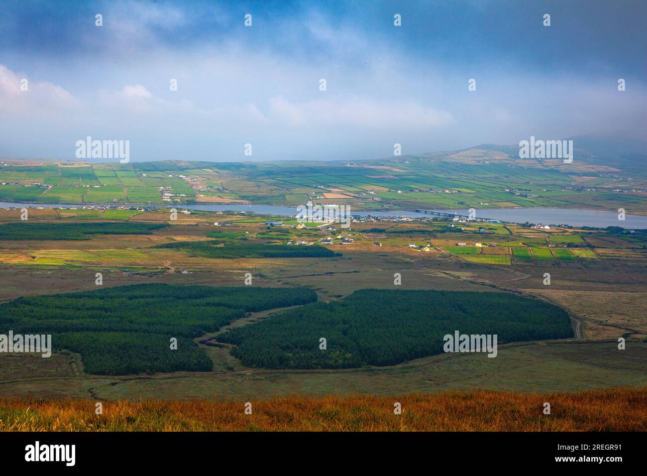 Blick auf Portmagee und Valentia Island vom Landesinneren auf der Halbinsel Iveragh, County Kerry, Irland, August. Stockfotohttps://www.alamy.de/image-license-details/?v=1https://www.alamy.de/blick-auf-portmagee-und-valentia-island-vom-landesinneren-auf-der-halbinsel-iveragh-county-kerry-irland-august-image559706477.html
RM2REGR91–Blick auf Portmagee und Valentia Island vom Landesinneren auf der Halbinsel Iveragh, County Kerry, Irland, August.
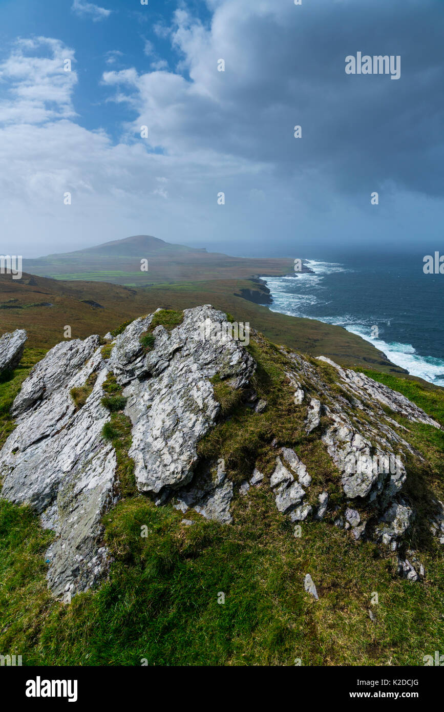 Bray Head Blick von Geokaun Berg, Valentia Island Iveragh Halbinsel, County Kerry, Irland, Europa. September 2015. Stockfotohttps://www.alamy.de/image-license-details/?v=1https://www.alamy.de/bray-head-blick-von-geokaun-berg-valentia-island-iveragh-halbinsel-county-kerry-irland-europa-september-2015-image156417928.html
RMK2DCJG–Bray Head Blick von Geokaun Berg, Valentia Island Iveragh Halbinsel, County Kerry, Irland, Europa. September 2015.
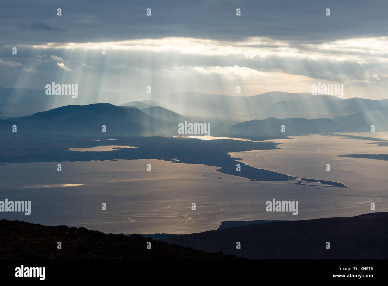 Iveragh Halbinsel gebadet in Wellen von Sonnenlicht von Slieve Mish Mountains auf der Halbinsel Dingle in der Grafschaft Kerry, Irland gesehen Stockfotohttps://www.alamy.de/image-license-details/?v=1https://www.alamy.de/iveragh-halbinsel-gebadet-in-wellen-von-sonnenlicht-von-slieve-mish-mountains-auf-der-halbinsel-dingle-in-der-grafschaft-kerry-irland-gesehen-image154044134.html
RFJXH8T6–Iveragh Halbinsel gebadet in Wellen von Sonnenlicht von Slieve Mish Mountains auf der Halbinsel Dingle in der Grafschaft Kerry, Irland gesehen
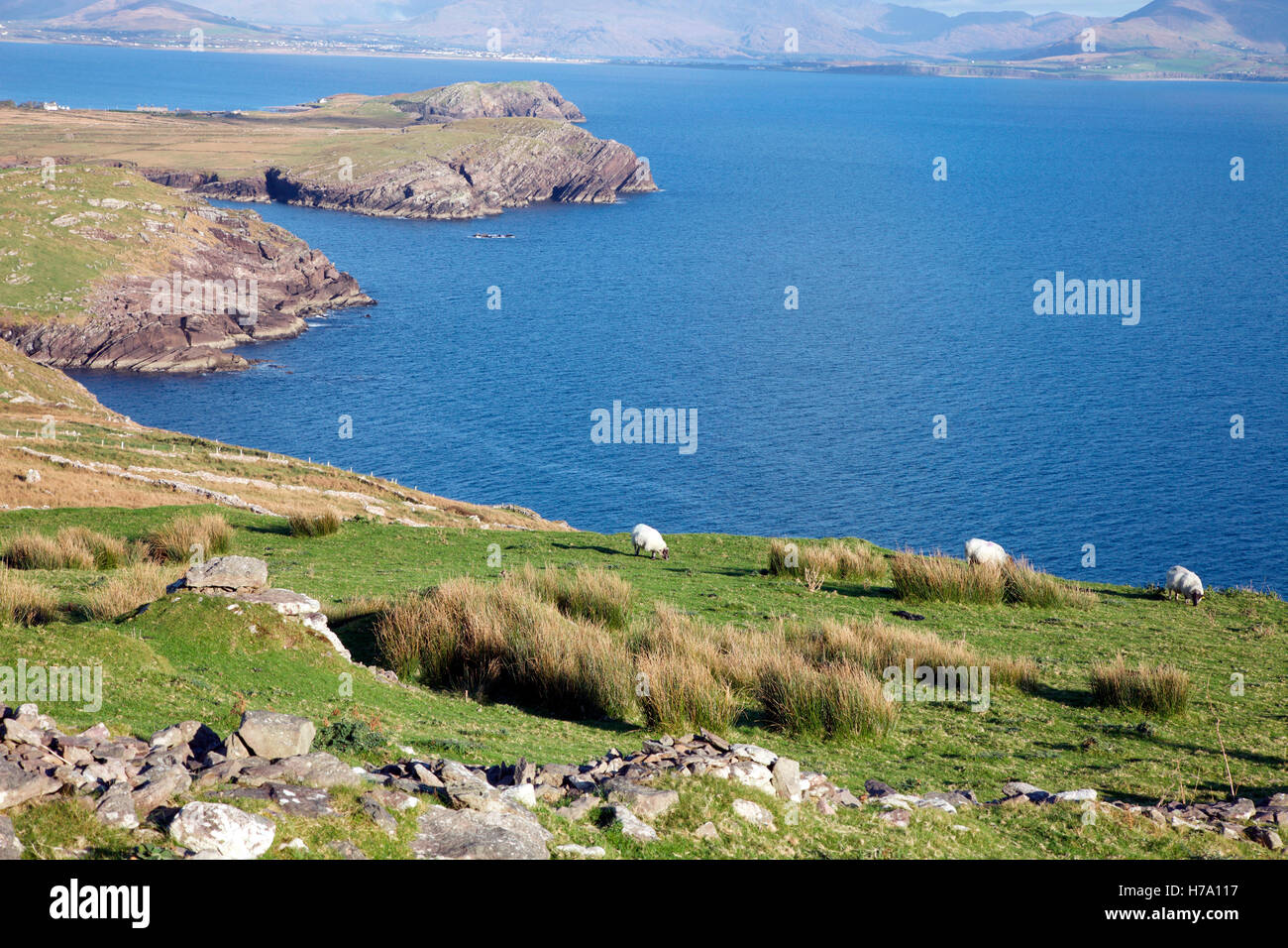 Schafbeweidung auf Bolus Head auf der Iveragh-Halbinsel Stockfotohttps://www.alamy.de/image-license-details/?v=1https://www.alamy.de/stockfoto-schafbeweidung-auf-bolus-head-auf-der-iveragh-halbinsel-124995507.html
RMH7A117–Schafbeweidung auf Bolus Head auf der Iveragh-Halbinsel
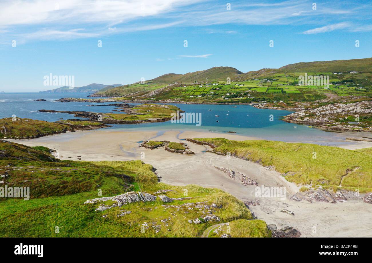 Derrynane Bay Strand westlich von Caherdaniel am Ring of Kerry, Iveragh Halbinsel, Irland. Blick nach Nordwesten. Heimstadion von Daniel O’Connell Stockfotohttps://www.alamy.de/image-license-details/?v=1https://www.alamy.de/derrynane-bay-strand-westlich-von-caherdaniel-am-ring-of-kerry-iveragh-halbinsel-irland-blick-nach-nordwesten-heimstadion-von-daniel-oconnell-image655643783.html
RM3A2K49B–Derrynane Bay Strand westlich von Caherdaniel am Ring of Kerry, Iveragh Halbinsel, Irland. Blick nach Nordwesten. Heimstadion von Daniel O’Connell
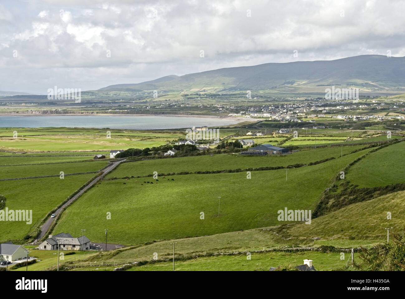 Irland, Munster, Kerry, Iveragh-Halbinsel, Waterville, lokale Ansicht, Felder, Wiesen, Berge, Landschaft, Breite, Abstand, Ansicht, Himmel, Wolken, Cloudies, Straße, Küste, Meer, Stockfotohttps://www.alamy.de/image-license-details/?v=1https://www.alamy.de/stockfoto-irland-munster-kerry-iveragh-halbinsel-waterville-lokale-ansicht-felder-wiesen-berge-landschaft-breite-abstand-ansicht-himmel-wolken-cloudies-strasse-kuste-meer-123001434.html
RMH435GA–Irland, Munster, Kerry, Iveragh-Halbinsel, Waterville, lokale Ansicht, Felder, Wiesen, Berge, Landschaft, Breite, Abstand, Ansicht, Himmel, Wolken, Cloudies, Straße, Küste, Meer,
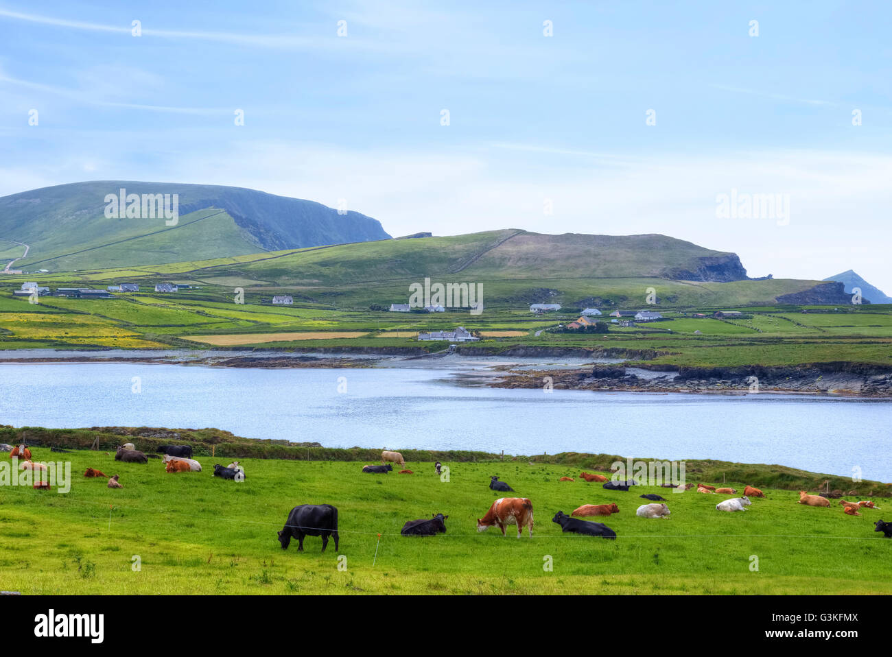 Valentia Island, Iveragh-Halbinsel, Skellig Ring, Kerry, Irland, Europa Stockfotohttps://www.alamy.de/image-license-details/?v=1https://www.alamy.de/stockfoto-valentia-island-iveragh-halbinsel-skellig-ring-kerry-irland-europa-105535610.html
RFG3KFMX–Valentia Island, Iveragh-Halbinsel, Skellig Ring, Kerry, Irland, Europa
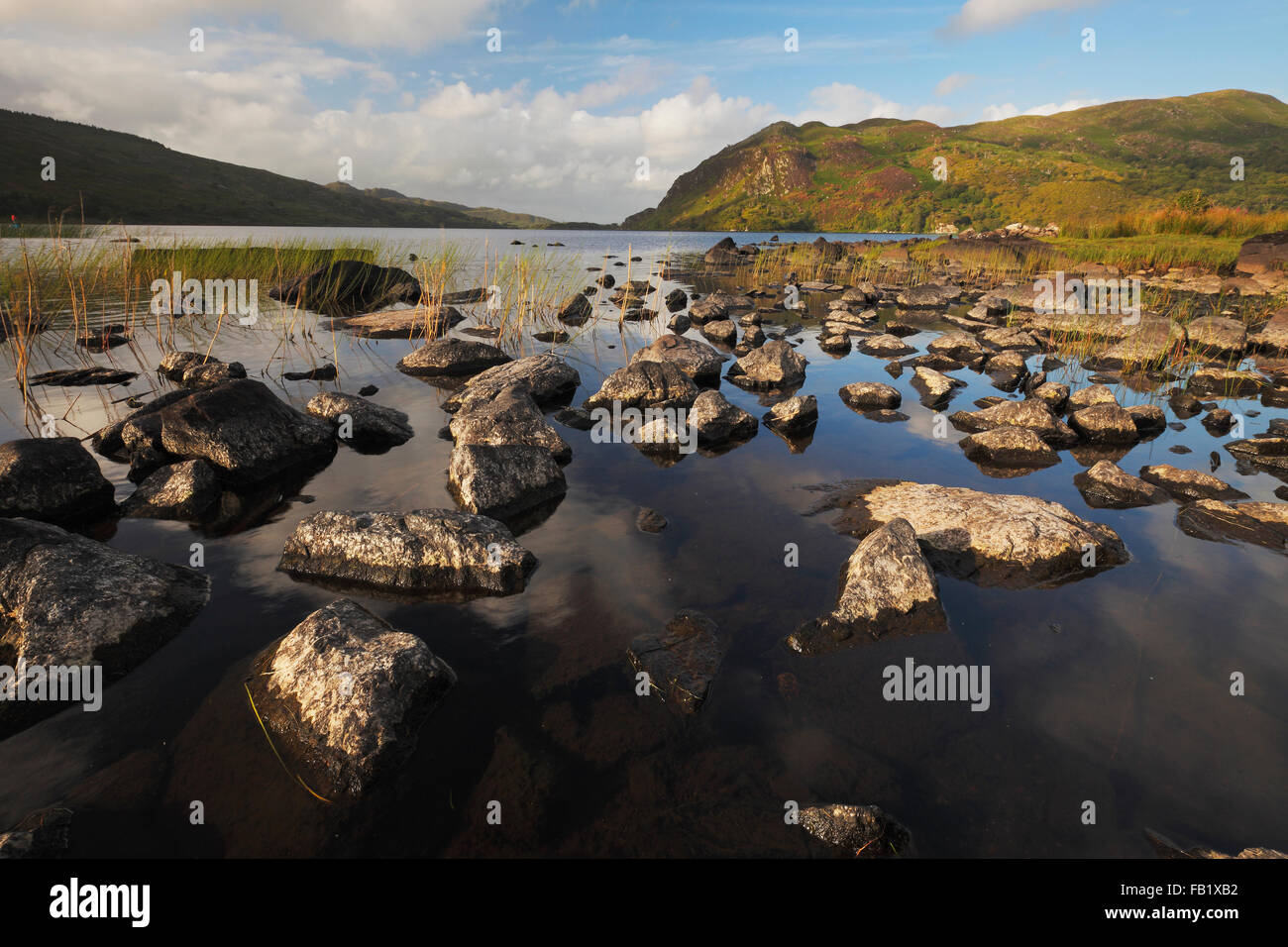 Lough Caragh auf der Iveragh-Halbinsel, County Kerry, Irland Stockfotohttps://www.alamy.de/image-license-details/?v=1https://www.alamy.de/stockfoto-lough-caragh-auf-der-iveragh-halbinsel-county-kerry-irland-92855702.html
RMFB1XB2–Lough Caragh auf der Iveragh-Halbinsel, County Kerry, Irland
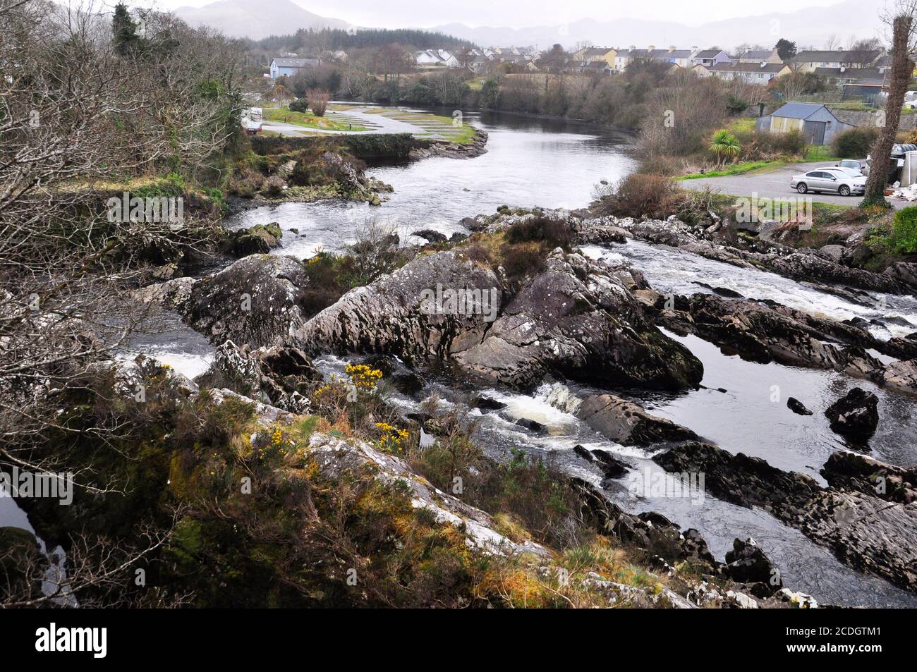 Die Wasserfälle auf dem Fluss Sneem, wie sie durch das Dorf Sneem zum Meer passieren. Iveragh Halbinsel, Grafschaft Kerry in Irland Stockfotohttps://www.alamy.de/image-license-details/?v=1https://www.alamy.de/die-wasserfalle-auf-dem-fluss-sneem-wie-sie-durch-das-dorf-sneem-zum-meer-passieren-iveragh-halbinsel-grafschaft-kerry-in-irland-image369778865.html
RF2CDGTM1–Die Wasserfälle auf dem Fluss Sneem, wie sie durch das Dorf Sneem zum Meer passieren. Iveragh Halbinsel, Grafschaft Kerry in Irland
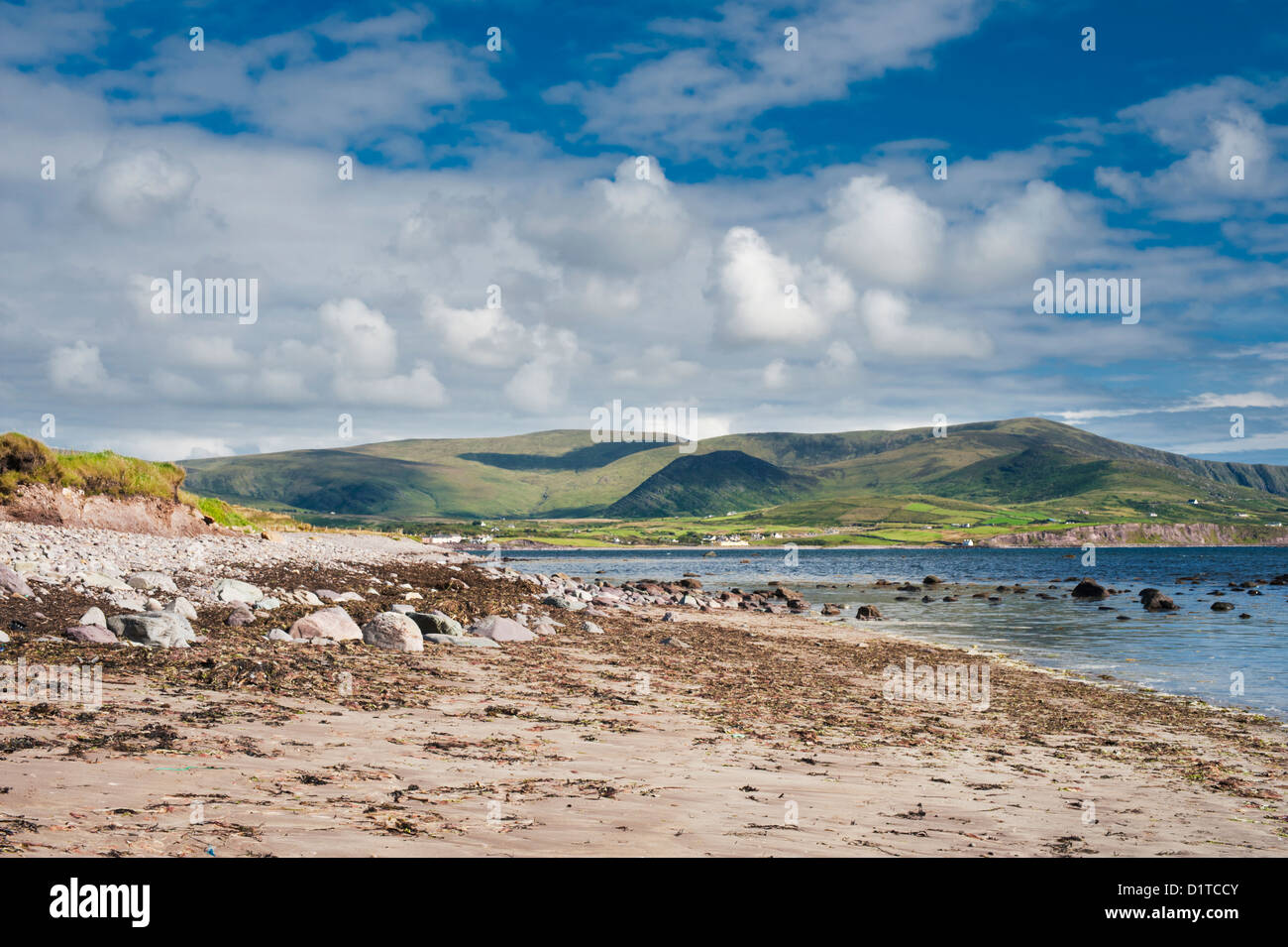 Waterville Beach, Iveragh-Halbinsel, County Kerry, Irland. Die Landschaft wurde stark beeinflusst durch die Eiszeit Eiszeit Stockfotohttps://www.alamy.de/image-license-details/?v=1https://www.alamy.de/stockfoto-waterville-beach-iveragh-halbinsel-county-kerry-irland-die-landschaft-wurde-stark-beeinflusst-durch-die-eiszeit-eiszeit-52782379.html
RMD1TCCY–Waterville Beach, Iveragh-Halbinsel, County Kerry, Irland. Die Landschaft wurde stark beeinflusst durch die Eiszeit Eiszeit
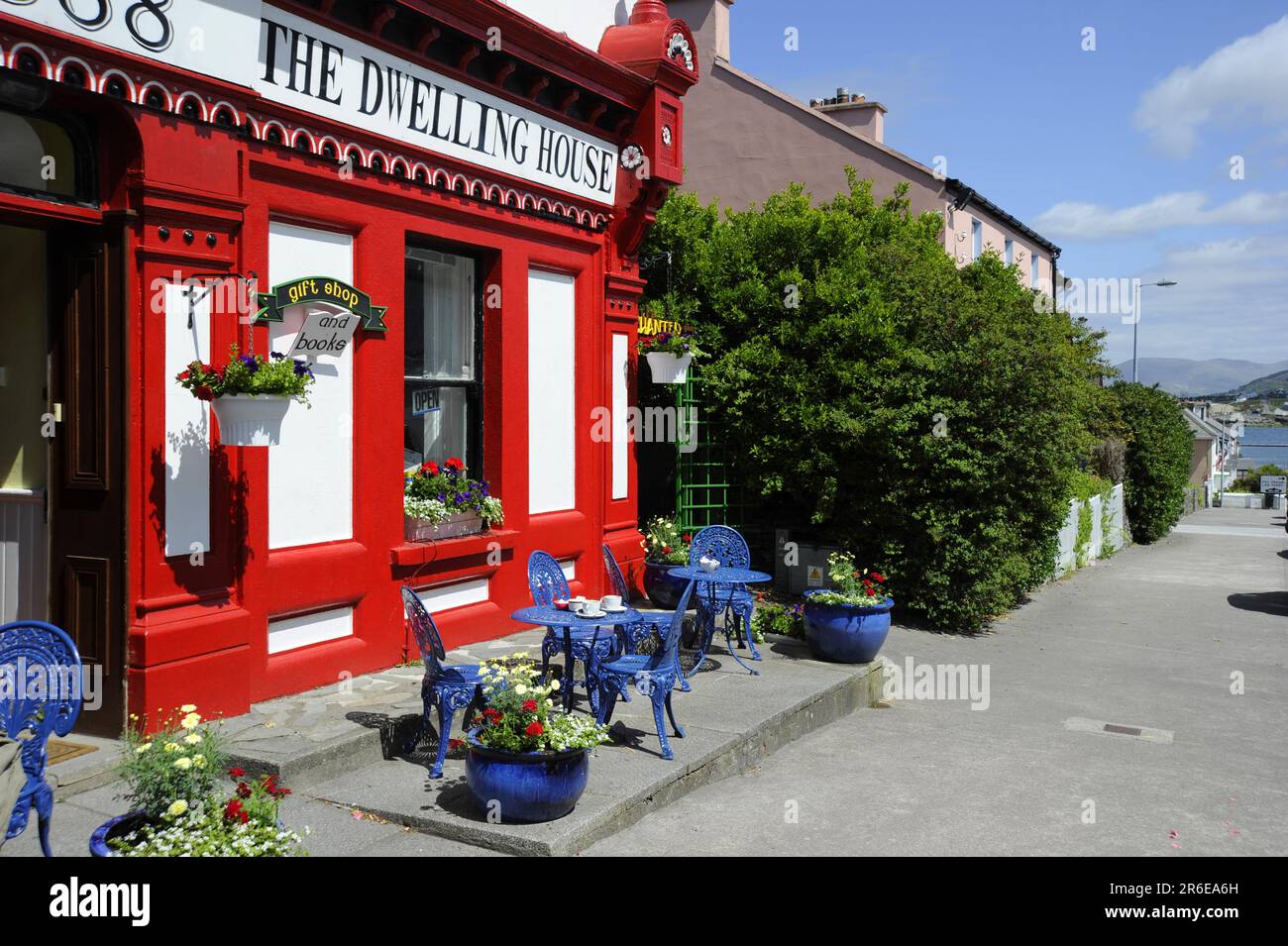 Cafe 'Das Haus', Ritter Stadt, Valentia, Iveragh-Halbinsel, Ring of Kerry, County Kerry, Irland Stockfotohttps://www.alamy.de/image-license-details/?v=1https://www.alamy.de/cafe-das-haus-ritter-stadt-valentia-iveragh-halbinsel-ring-of-kerry-county-kerry-irland-image554735065.html
RM2R6EA6H–Cafe 'Das Haus', Ritter Stadt, Valentia, Iveragh-Halbinsel, Ring of Kerry, County Kerry, Irland
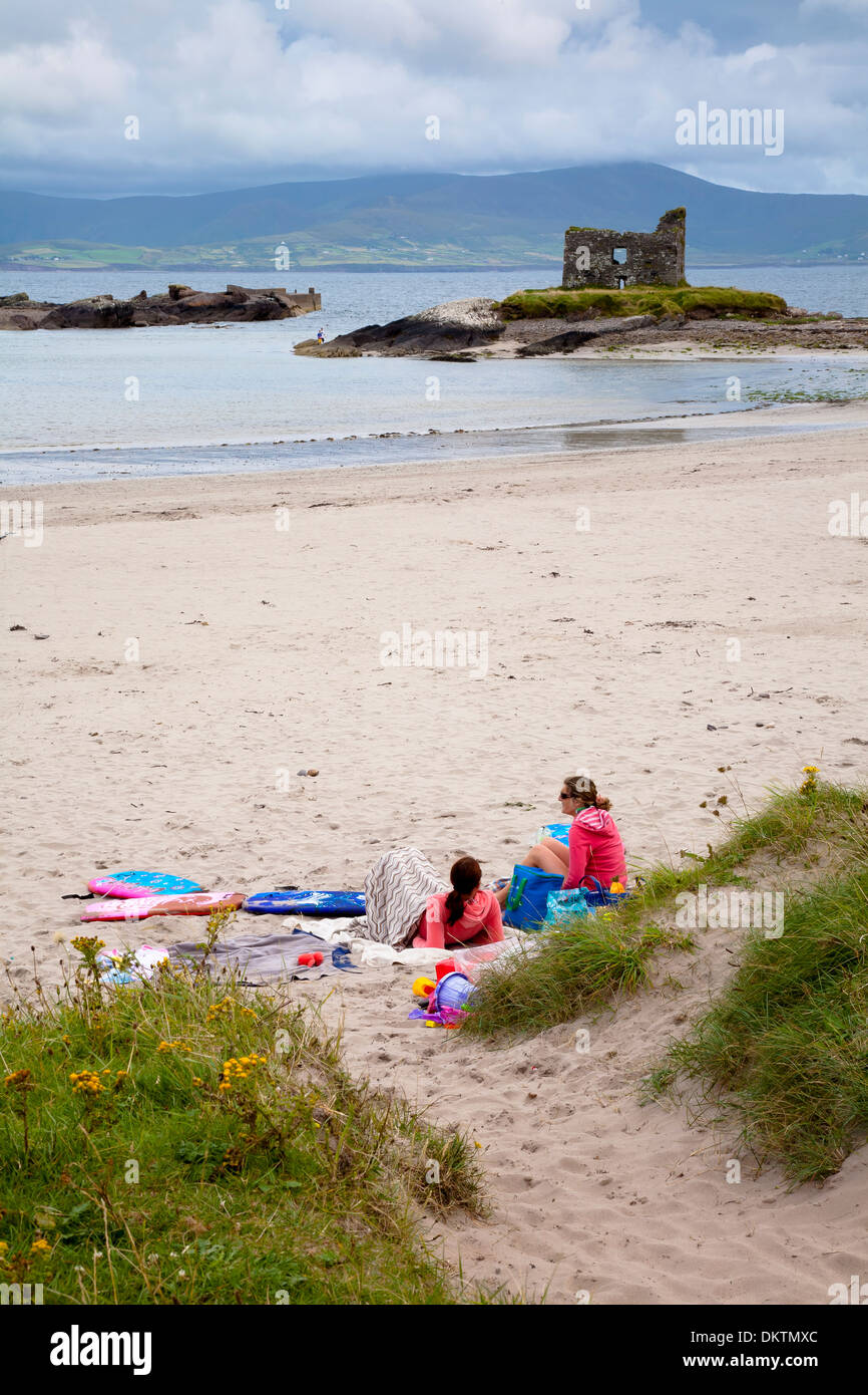 Ballinskelligs Strand. Skellig Ring, Iveragh-Halbinsel. County Kerry, Irland, Europa. Stockfotohttps://www.alamy.de/image-license-details/?v=1https://www.alamy.de/ballinskelligs-strand-skellig-ring-iveragh-halbinsel-county-kerry-irland-europa-image63852836.html
RMDKTMXC–Ballinskelligs Strand. Skellig Ring, Iveragh-Halbinsel. County Kerry, Irland, Europa.
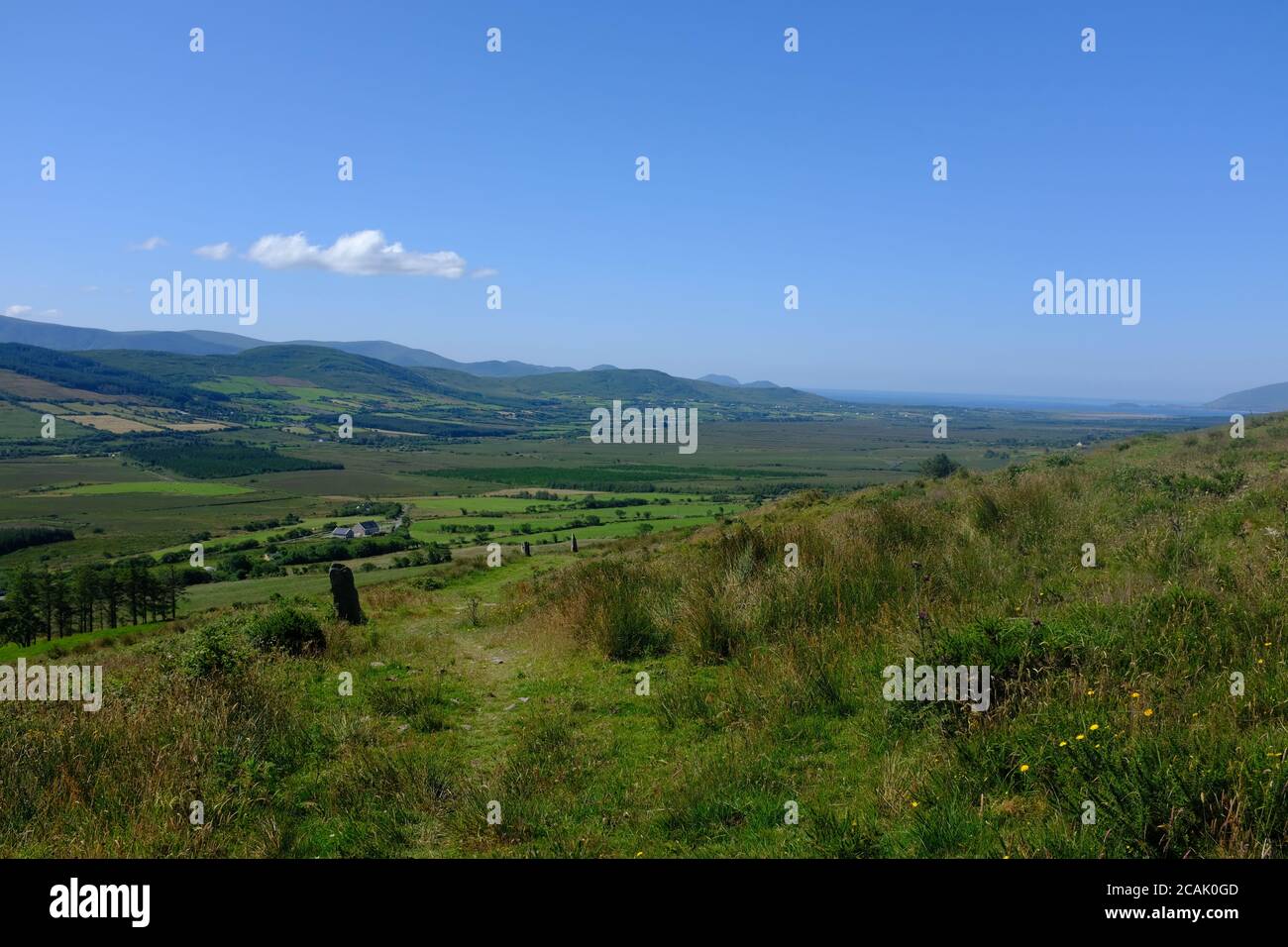 Spaziergang auf dem Kerry Way in 2019 in Count Kerry in Der Süden Irlands, der sich um den Abschnitt der Halbinsel Iveragh dreht Waterville nach Cahersiveen Stockfotohttps://www.alamy.de/image-license-details/?v=1https://www.alamy.de/spaziergang-auf-dem-kerry-way-in-2019-in-count-kerry-in-der-suden-irlands-der-sich-um-den-abschnitt-der-halbinsel-iveragh-dreht-waterville-nach-cahersiveen-image367981837.html
RF2CAK0GD–Spaziergang auf dem Kerry Way in 2019 in Count Kerry in Der Süden Irlands, der sich um den Abschnitt der Halbinsel Iveragh dreht Waterville nach Cahersiveen
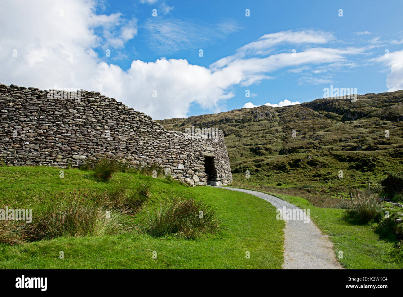 Staigue Stone Fort, in der Nähe von Sneem, Iveragh Halbinsel, Co Kerry, Irland Stockfotohttps://www.alamy.de/image-license-details/?v=1https://www.alamy.de/staigue-stone-fort-in-der-nahe-von-sneem-iveragh-halbinsel-co-kerry-irland-image156686660.html
RMK2WKC4–Staigue Stone Fort, in der Nähe von Sneem, Iveragh Halbinsel, Co Kerry, Irland
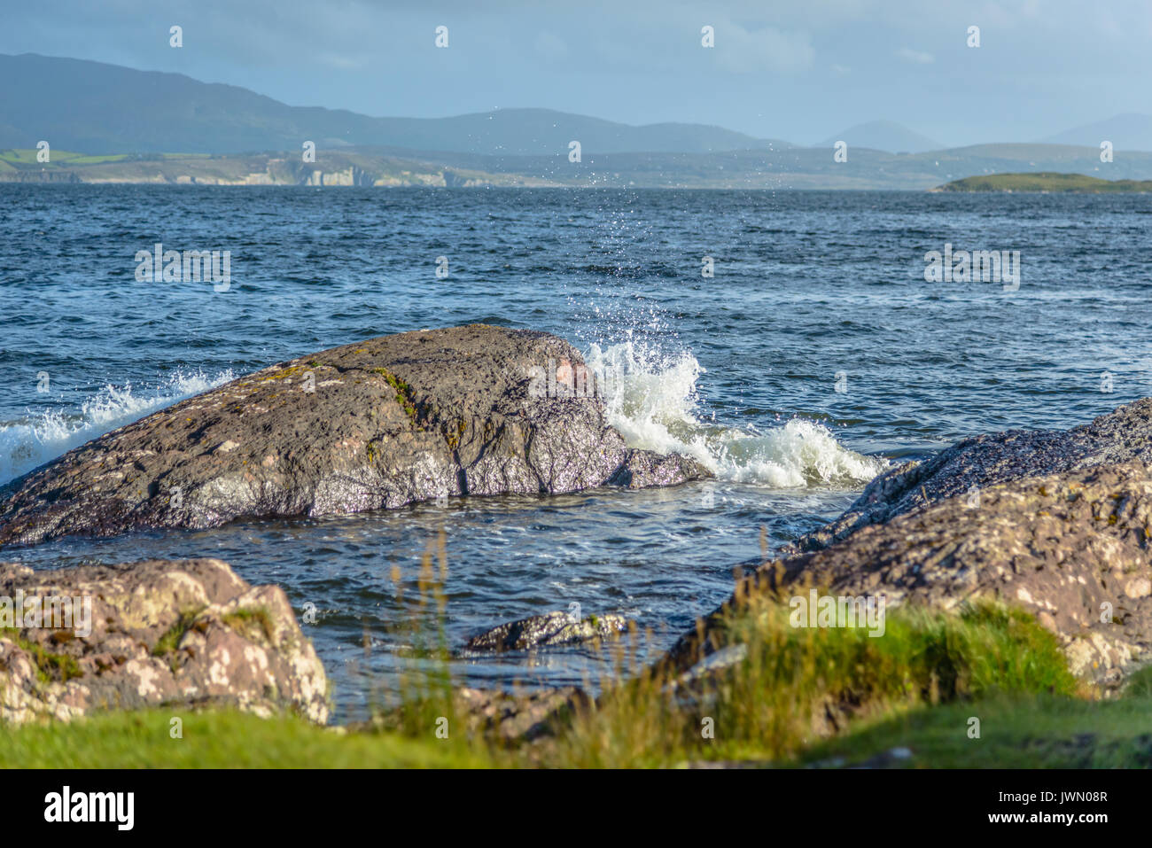 Irland Landschaft Iveragh Halbinsel Stockfotohttps://www.alamy.de/image-license-details/?v=1https://www.alamy.de/irland-landschaft-iveragh-halbinsel-image153510583.html
RFJWN08R–Irland Landschaft Iveragh Halbinsel
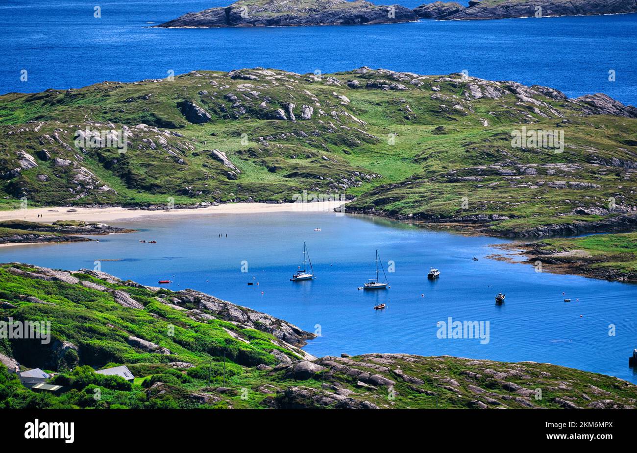 Derrynane Bay von oben, Iveragh Halbinsel, County Kerry, Irland Stockfotohttps://www.alamy.de/image-license-details/?v=1https://www.alamy.de/derrynane-bay-von-oben-iveragh-halbinsel-county-kerry-irland-image494331458.html
RM2KM6MPX–Derrynane Bay von oben, Iveragh Halbinsel, County Kerry, Irland
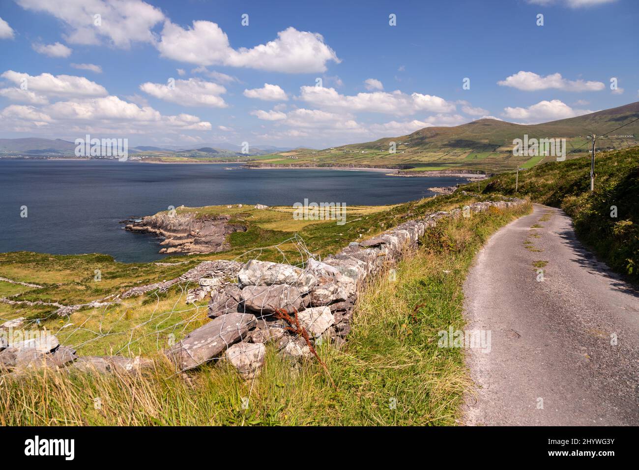 Blick von der Iveragh-Halbinsel an der Atlantikküste der Grafschaft Kerry, Irland Stockfotohttps://www.alamy.de/image-license-details/?v=1https://www.alamy.de/blick-von-der-iveragh-halbinsel-an-der-atlantikkuste-der-grafschaft-kerry-irland-image464626735.html
RF2HYWG3Y–Blick von der Iveragh-Halbinsel an der Atlantikküste der Grafschaft Kerry, Irland
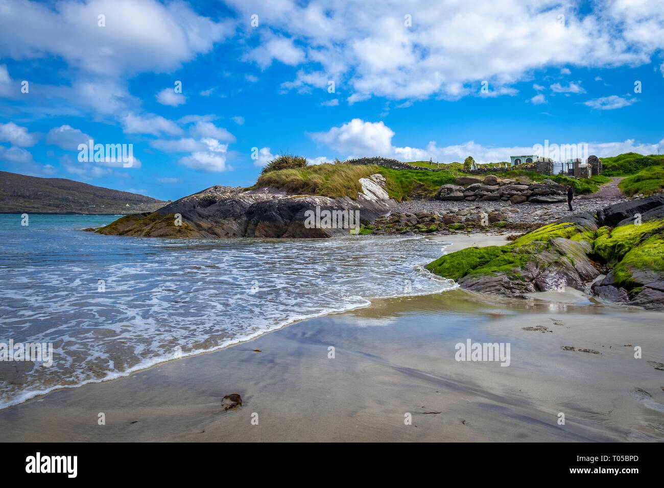 Derrynane Beach, Abbey Island, Ring of Kerry, die Iveragh Halbinsel, Co Kerry, Irland Stockfotohttps://www.alamy.de/image-license-details/?v=1https://www.alamy.de/derrynane-beach-abbey-island-ring-of-kerry-die-iveragh-halbinsel-co-kerry-irland-image241064165.html
RFT05BPD–Derrynane Beach, Abbey Island, Ring of Kerry, die Iveragh Halbinsel, Co Kerry, Irland
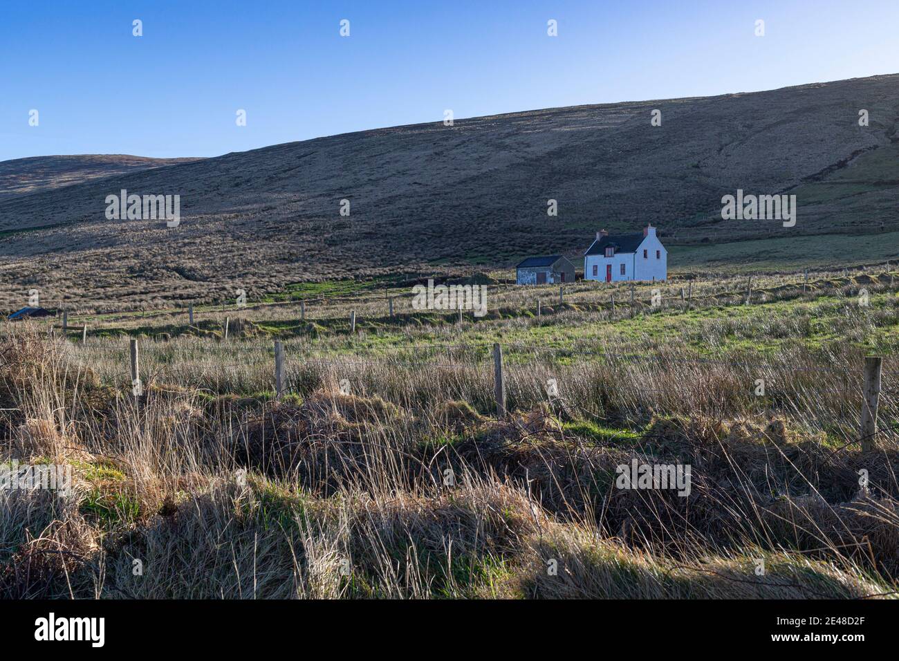 Iveragh Peninsula in der Nähe von Portmagee County Kerry, Irland Stockfotohttps://www.alamy.de/image-license-details/?v=1https://www.alamy.de/iveragh-peninsula-in-der-nahe-von-portmagee-county-kerry-irland-image398482967.html
RM2E48D2F–Iveragh Peninsula in der Nähe von Portmagee County Kerry, Irland
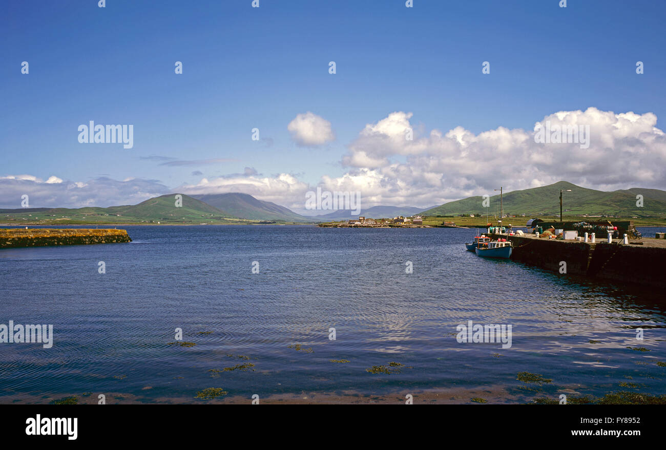 Ritter Stadthafen auf Valentia Island mit der Iveragh-Halbinsel im Hintergrund, County Kerry, Irland Stockfotohttps://www.alamy.de/image-license-details/?v=1https://www.alamy.de/stockfoto-ritter-stadthafen-auf-valentia-island-mit-der-iveragh-halbinsel-im-hintergrund-county-kerry-irland-102830366.html
RMFY8952–Ritter Stadthafen auf Valentia Island mit der Iveragh-Halbinsel im Hintergrund, County Kerry, Irland
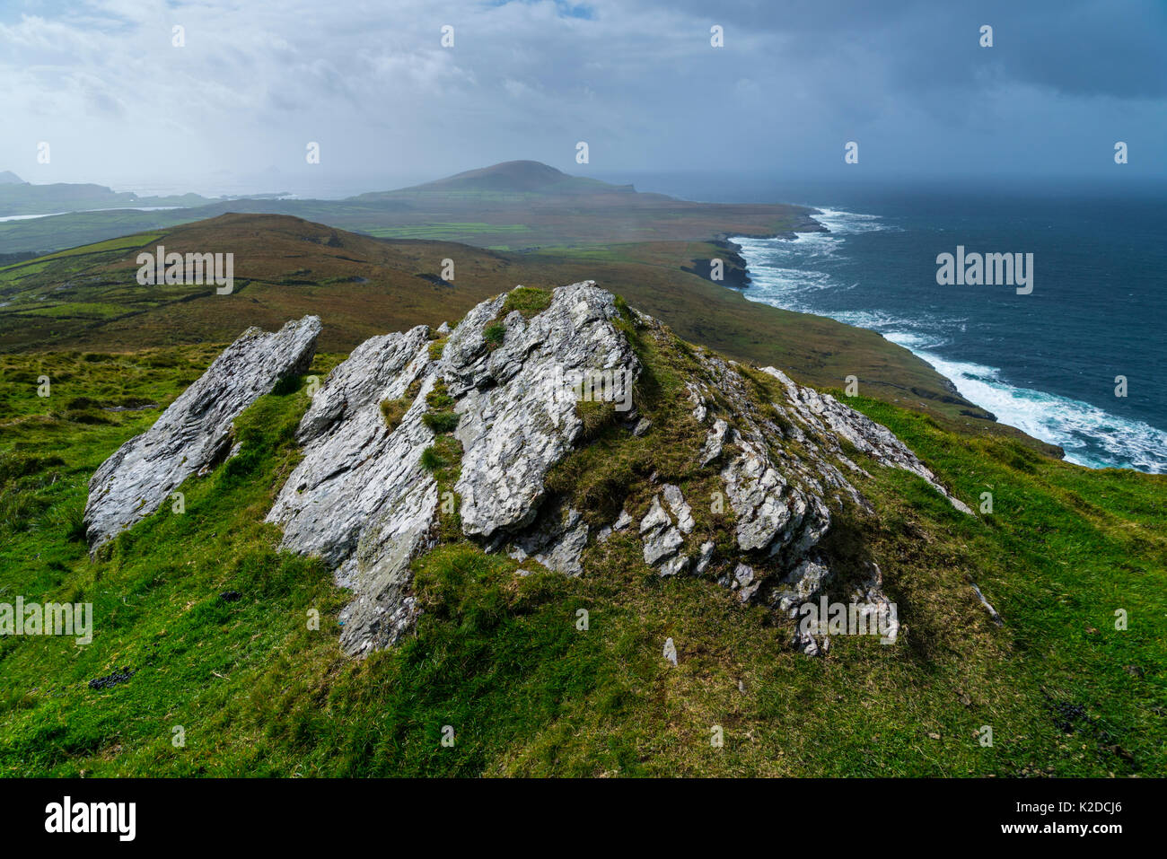 Bray Head Blick von Geokaun Berg, Valentia Island Iveragh Halbinsel, County Kerry, Irland, Europa. September 2015. Stockfotohttps://www.alamy.de/image-license-details/?v=1https://www.alamy.de/bray-head-blick-von-geokaun-berg-valentia-island-iveragh-halbinsel-county-kerry-irland-europa-september-2015-image156417918.html
RMK2DCJ6–Bray Head Blick von Geokaun Berg, Valentia Island Iveragh Halbinsel, County Kerry, Irland, Europa. September 2015.
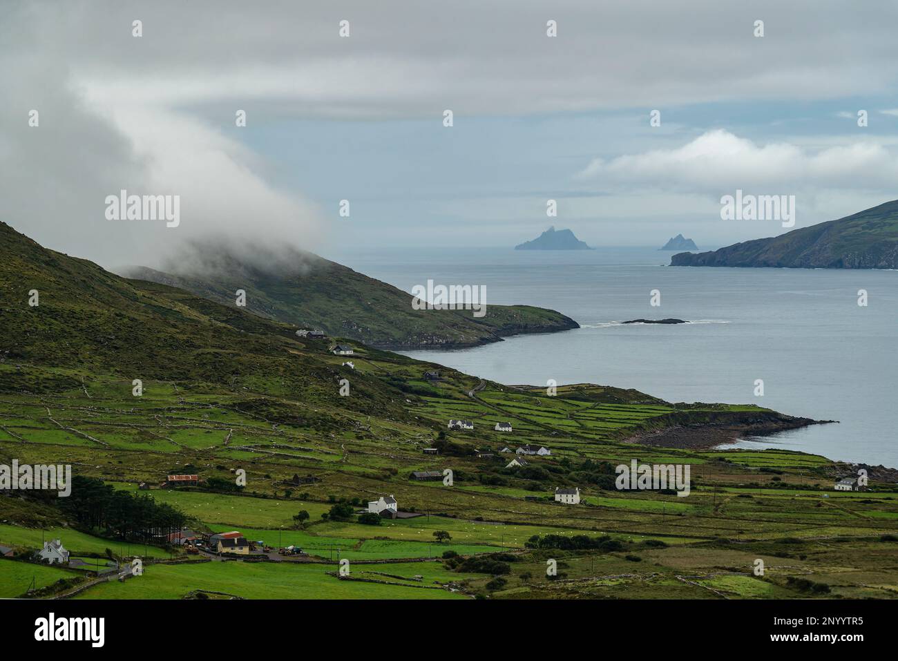 Malerischer Blick auf Ballinskelligs Bay vom Ring of Kerry (N70) in der Nähe von Waterville, Iveragh Peninsula, County Kerry, Irland Stockfotohttps://www.alamy.de/image-license-details/?v=1https://www.alamy.de/malerischer-blick-auf-ballinskelligs-bay-vom-ring-of-kerry-n70-in-der-nahe-von-waterville-iveragh-peninsula-county-kerry-irland-image533518921.html
RF2NYYTR5–Malerischer Blick auf Ballinskelligs Bay vom Ring of Kerry (N70) in der Nähe von Waterville, Iveragh Peninsula, County Kerry, Irland
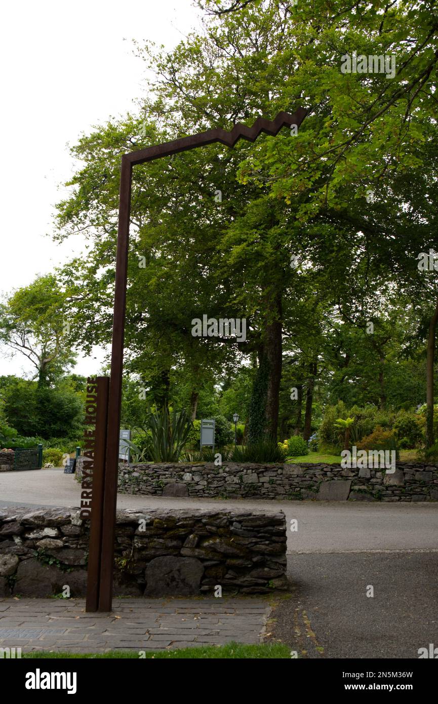 Derrynane House Wave Logo aus Metall für Wild atlantic Way Entdeckungspunkte Iveragh Peninsula Southern Ireland EIRE Stockfotohttps://www.alamy.de/image-license-details/?v=1https://www.alamy.de/derrynane-house-wave-logo-aus-metall-fur-wild-atlantic-way-entdeckungspunkte-iveragh-peninsula-southern-ireland-eire-image519825905.html
RF2N5M36W–Derrynane House Wave Logo aus Metall für Wild atlantic Way Entdeckungspunkte Iveragh Peninsula Southern Ireland EIRE
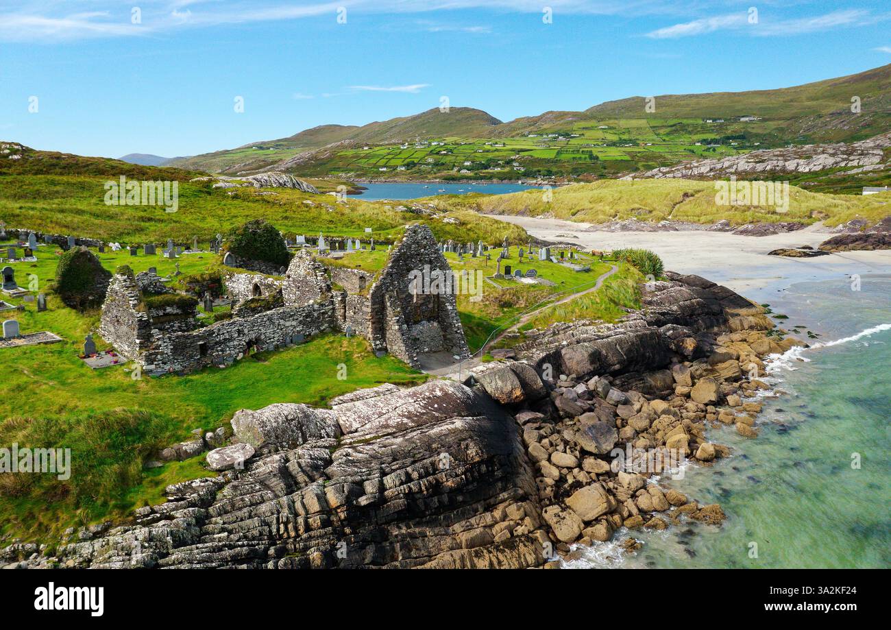 Derrynane Abbey aka Ahamore Abbey westlich von Caherdaniel am Ring of Kerry, Iveragh Halbinsel, Irland. Stammt aus 6 C. mit Blick nach Nordwesten Stockfotohttps://www.alamy.de/image-license-details/?v=1https://www.alamy.de/derrynane-abbey-aka-ahamore-abbey-westlich-von-caherdaniel-am-ring-of-kerry-iveragh-halbinsel-irland-stammt-aus-6-c-mit-blick-nach-nordwesten-image655652204.html
RM3A2KF24–Derrynane Abbey aka Ahamore Abbey westlich von Caherdaniel am Ring of Kerry, Iveragh Halbinsel, Irland. Stammt aus 6 C. mit Blick nach Nordwesten
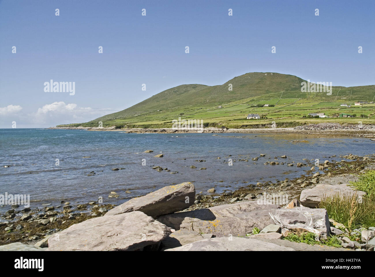 Irland, Munster, Kerry, Iveragh-Halbinsel, Cahirciveen, Balycarbery, Strand, Meer, die Bucht, Landschaft, Küste, Küstenlandschaft, Hügel, Wiesen, Meer, Steinen, Felsen, Blick, menschenleer, Stockfotohttps://www.alamy.de/image-license-details/?v=1https://www.alamy.de/stockfoto-irland-munster-kerry-iveragh-halbinsel-cahirciveen-balycarbery-strand-meer-die-bucht-landschaft-kuste-kustenlandschaft-hugel-wiesen-meer-steinen-felsen-blick-menschenleer-123003310.html
RMH437YA–Irland, Munster, Kerry, Iveragh-Halbinsel, Cahirciveen, Balycarbery, Strand, Meer, die Bucht, Landschaft, Küste, Küstenlandschaft, Hügel, Wiesen, Meer, Steinen, Felsen, Blick, menschenleer,
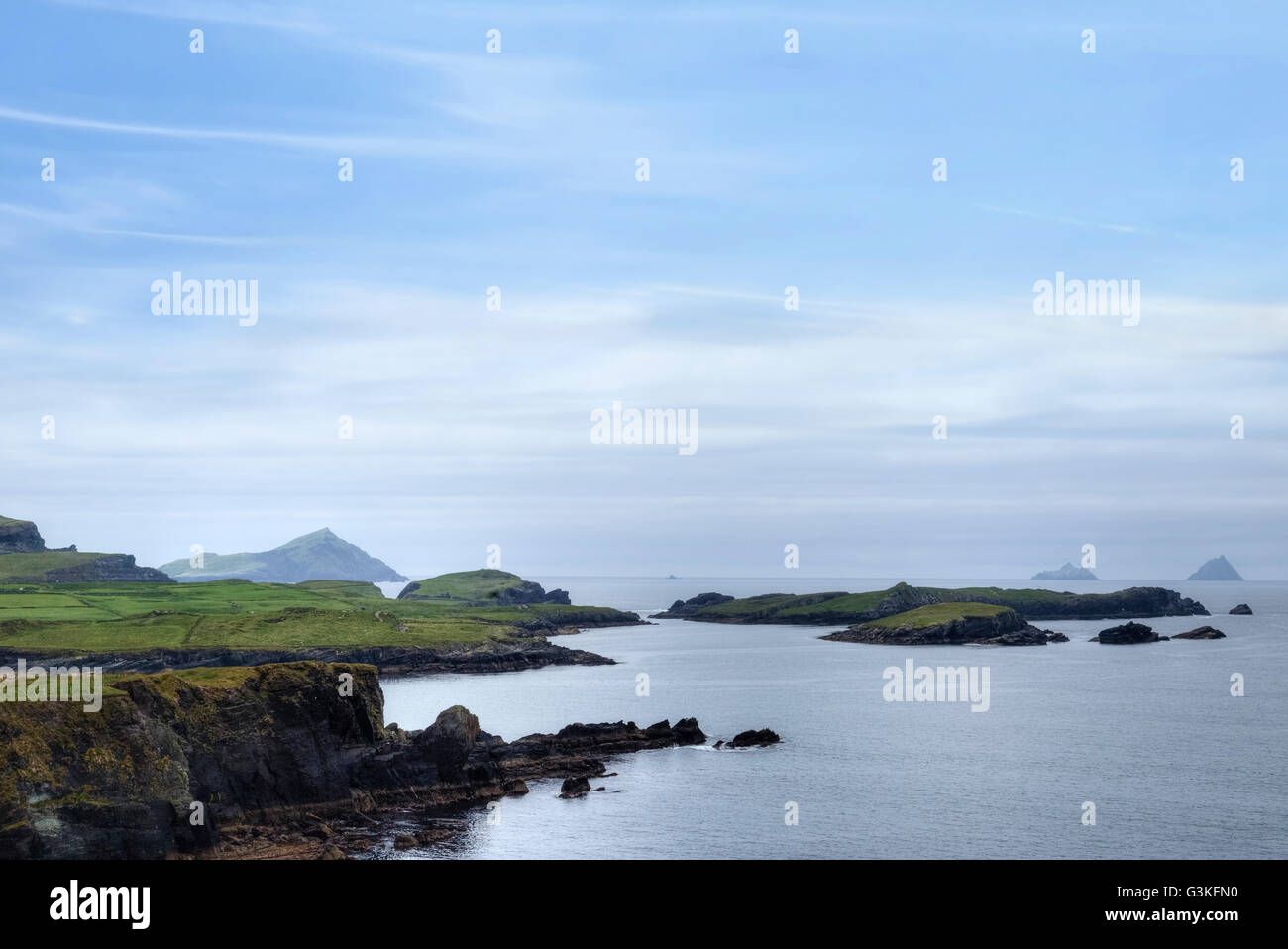 Valentia Island, Iveragh-Halbinsel, Skellig Ring, Kerry, Irland, Europa Stockfotohttps://www.alamy.de/image-license-details/?v=1https://www.alamy.de/stockfoto-valentia-island-iveragh-halbinsel-skellig-ring-kerry-irland-europa-105535612.html
RFG3KFN0–Valentia Island, Iveragh-Halbinsel, Skellig Ring, Kerry, Irland, Europa
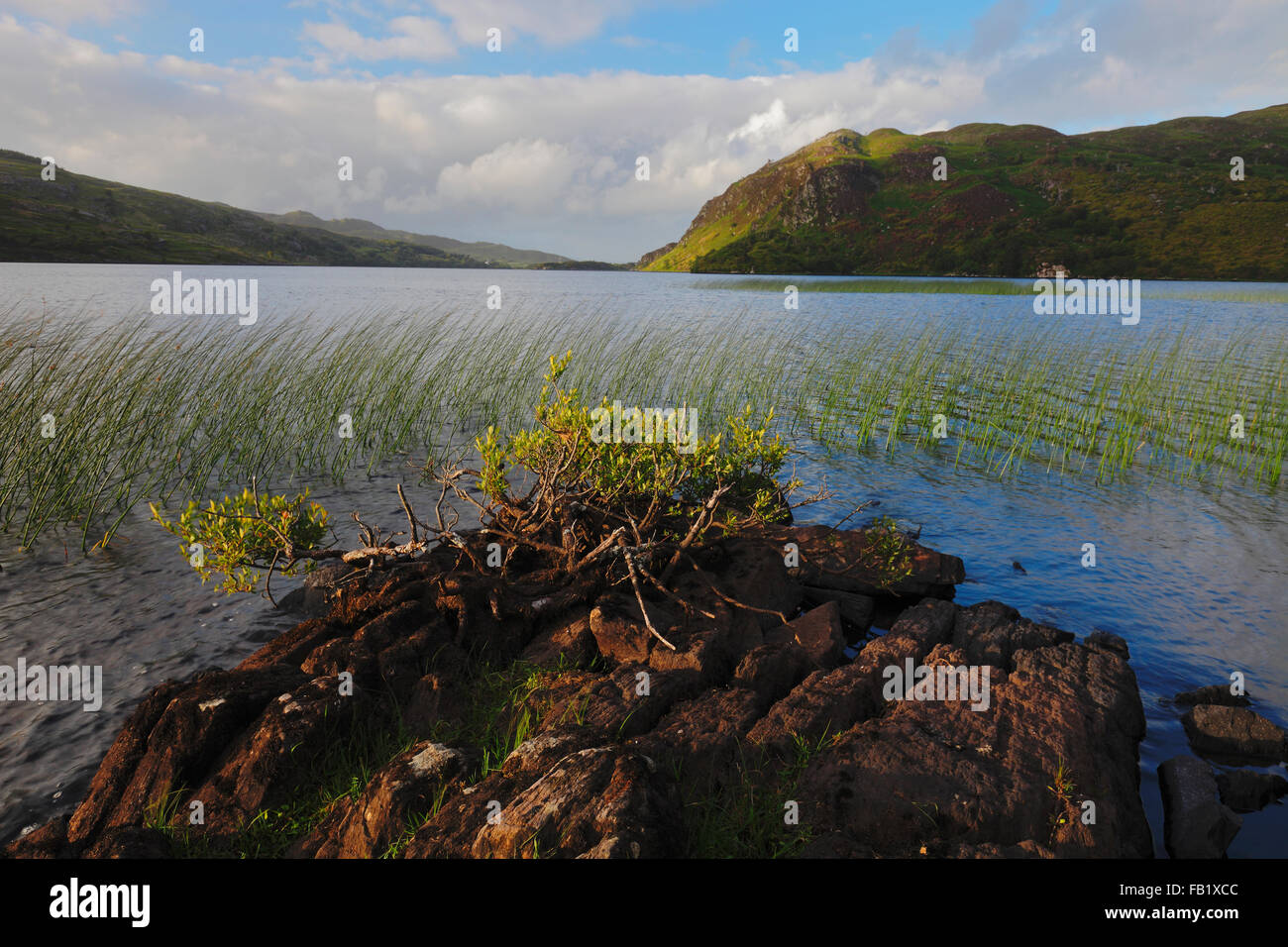 Lough Caragh auf der Iveragh-Halbinsel, County Kerry, Irland Stockfotohttps://www.alamy.de/image-license-details/?v=1https://www.alamy.de/stockfoto-lough-caragh-auf-der-iveragh-halbinsel-county-kerry-irland-92855740.html
RMFB1XCC–Lough Caragh auf der Iveragh-Halbinsel, County Kerry, Irland
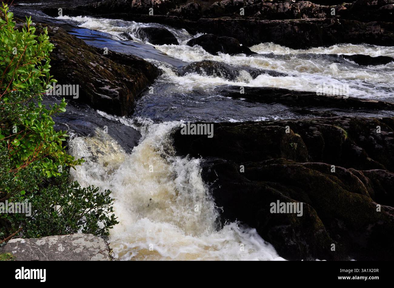 Der Wasserfall auf dem Fluss Sneem, wie er durch das Dorf Sneem auf dem Weg zum Meer passiert. Iveragh Halbinsel, Grafschaft Kerry in Irland Stockfotohttps://www.alamy.de/image-license-details/?v=1https://www.alamy.de/der-wasserfall-auf-dem-fluss-sneem-wie-er-durch-das-dorf-sneem-auf-dem-weg-zum-meer-passiert-iveragh-halbinsel-grafschaft-kerry-in-irland-image655180983.html
RF3A1X20R–Der Wasserfall auf dem Fluss Sneem, wie er durch das Dorf Sneem auf dem Weg zum Meer passiert. Iveragh Halbinsel, Grafschaft Kerry in Irland
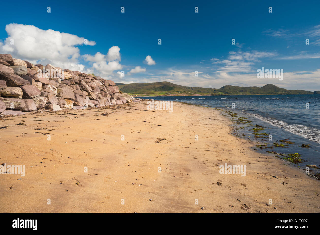 Waterville Beach, Iveragh-Halbinsel, County Kerry, Irland. Die Landschaft wurde stark beeinflusst durch die Eiszeit Eiszeit Stockfotohttps://www.alamy.de/image-license-details/?v=1https://www.alamy.de/stockfoto-waterville-beach-iveragh-halbinsel-county-kerry-irland-die-landschaft-wurde-stark-beeinflusst-durch-die-eiszeit-eiszeit-52782387.html
RMD1TCD7–Waterville Beach, Iveragh-Halbinsel, County Kerry, Irland. Die Landschaft wurde stark beeinflusst durch die Eiszeit Eiszeit