4230 x 4230 px | 35,8 x 35,8 cm | 14,1 x 14,1 inches | 300dpi
Aufnahmedatum:
17. Juni 2022
Weitere Informationen:
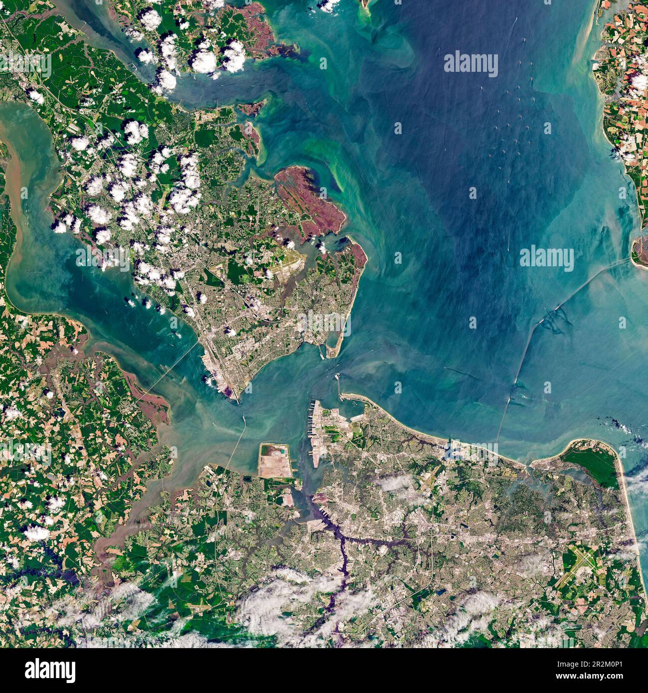
About 35 million years ago, an asteroid or comet smashed into the continental shelf near what is now the mouth of Chesapeake Bay. Among the areas in the blast zone was Old Point Comfort, the southernmost spit of land on the Virginia Peninsula. That same piece of land was later the site of a historical collision that reverberates to this day. In August 1619, two British-owned privateer ships—the White Lion and the Treasurer—came ashore at Old Point Comfort and delivered 20 to 30 captive Africans in exchange for food. Historians point to that moment as the first instance of slave trading in a British colony in mainland North America. The group of captives, probably from the Kingdom of Ndongo in what is now Angola, were among the hundreds of thousands of Africans who were eventually brought to America and enslaved. The Operational Land Imager (OLI) on Landsat 8 acquired this natural-color image of Old Point Comfort on June 10, 2022. When the first landing of Africans occurred in Virginia, the peninsula was home to the small, wooden Fort Algernourne. Fort Monroe, a larger stone fortress built during the War of 1812, now occupies the spot. Parts of the moat around the hexagonal fort are visible in the Landsat image, as well as several of the six bastions.