5065 x 3376 px | 42,9 x 28,6 cm | 16,9 x 11,3 inches | 300dpi
Aufnahmedatum:
9. Juni 2021
Ort:
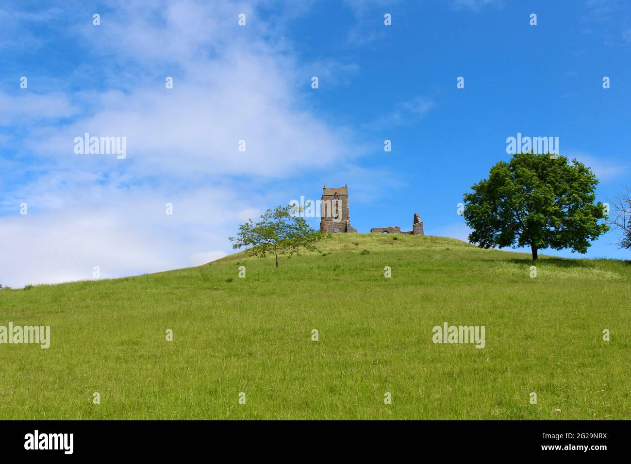
Burrowbridge, Somerset, England, UK
Weitere Informationen:
Burrow Mump is a hill and historic site overlooking Southlake Moor in the village of Burrowbridge within the English county of Somerset. It is a scheduled monument, with the ruined church on top of the hill a Grade II listed building. The hill stands at a strategic location overlooking the point where the River Tone and the old course of the River Cary join the River Parrett. Although there is some evidence of Roman visitation, the first fortification of the site was the construction of a Norman motte. It has been called King Alfred's Fort, however there is no proof of use by Alfred the Great. A medieval church was built on the hill in the 15th century. The current ruined church on top of the hill was built in 1793. The land and ruin were donated to the National Trust in 1946 as a war memorial - Wikipedia
Ausschließlich für die redaktionelle und private Nutzung verfügbar. Bei kommerzieller Nutzung wenden Sie sich bitte an uns
Sie können dieses Bild ausschließlich in redaktionellen Medien und für die private Nutzung verwenden. Redaktionelle Medien schließen die Nutzung als visuelle Bezugnahme in Verbindung mit einem Artikel, Bericht, einer Rezension oder einem pädagogischen Texten ein. Im Rahmen der privaten Nutzung dürfen Sie einen privaten Abzug, eine Karte oder ein Geschenk für die nicht kommerzielle Nutzung erstellen. Nicht zum Wiederverkauf bestimmt.
Es darf nicht für kommerzielle Zwecke wie Werbung, Marketing, Verkaufsförderung, Verpackungen, Advertorials und Konsumgüter bzw. Merchandising Produkte genutzt werden.