Die Schottischen Highlands (SC18)
Bilddetails
Bildanbieter:
Rik Hamilton / Alamy Stock FotoBild-ID:
P939R4Dateigröße:
95,7 MB (7 MB Komprimierter Download)Freigaben (Releases):
Model - nein | Eigentum - neinBenötige ich eine Freigabe?Format:
7079 x 4725 px | 59,9 x 40 cm | 23,6 x 15,8 inches | 300dpiAufnahmedatum:
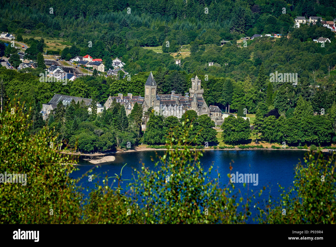
3. Juli 2018Ort:
The Scottish HighlandsWeitere Informationen:
The Scottish Highlands are a historic region of Scotland. Culturally, the Highlands and the Lowlands diverged from the later Middle Ages into the modern period, when Lowland Scots replaced Scottish Gaelic throughout most of the Lowlands. The term is also used for the area north and west of the Highland Boundary Fault, although the exact boundaries are not clearly defined, particularly to the east. The Great Glen divides the Grampian Mountains to the southeast from the Northwest Highlands. The Scottish Gaelic name of A' Ghàidhealtachd literally means "the place of the Gaels" and traditionally, from a Gaelic-speaking point of view, includes both the Western Isles and the Highlands. The area is very sparsely populated, with many mountain ranges dominating the region, and includes the highest mountain in the British Isles, Ben Nevis. Before the 19th century the Highlands was home to a much larger population, but due to a combination of factors including the outlawing of the traditional Highland way of life following the Jacobite Rising of 1745, the infamous Highland Clearances, and mass migration to urban areas during the Industrial Revolution, the area is now one of the most sparsely populated in Europe. At 9.1 per km2 in 2012, the population density in the Highlands and Islands is less than one seventh of Scotland's as a whole, comparable with that of Bolivia, Chad and Russia. The Highland Council is the administrative body for much of the Highlands, with its administrative centre at Inverness. However, the Highlands also includes parts of the council areas of Aberdeenshire, Angus, Argyll and Bute, Moray, North Ayrshire, Perth and Kinross, Stirling and West Dunbartonshire. The Scottish highlands is the only area in the British Isles to have the taiga biome as it features concentrated populations of Scots pine forest: see Caledonian Forest.
Sie können dieses Bild ausschließlich in redaktionellen Medien und für die private Nutzung verwenden. Redaktionelle Medien schließen die Nutzung als visuelle Bezugnahme in Verbindung mit einem Artikel, Bericht, einer Rezension oder einem pädagogischen Texten ein. Im Rahmen der privaten Nutzung dürfen Sie einen privaten Abzug, eine Karte oder ein Geschenk für die nicht kommerzielle Nutzung erstellen. Nicht zum Wiederverkauf bestimmt.
Es darf nicht für kommerzielle Zwecke wie Werbung, Marketing, Verkaufsförderung, Verpackungen, Advertorials und Konsumgüter bzw. Merchandising Produkte genutzt werden.