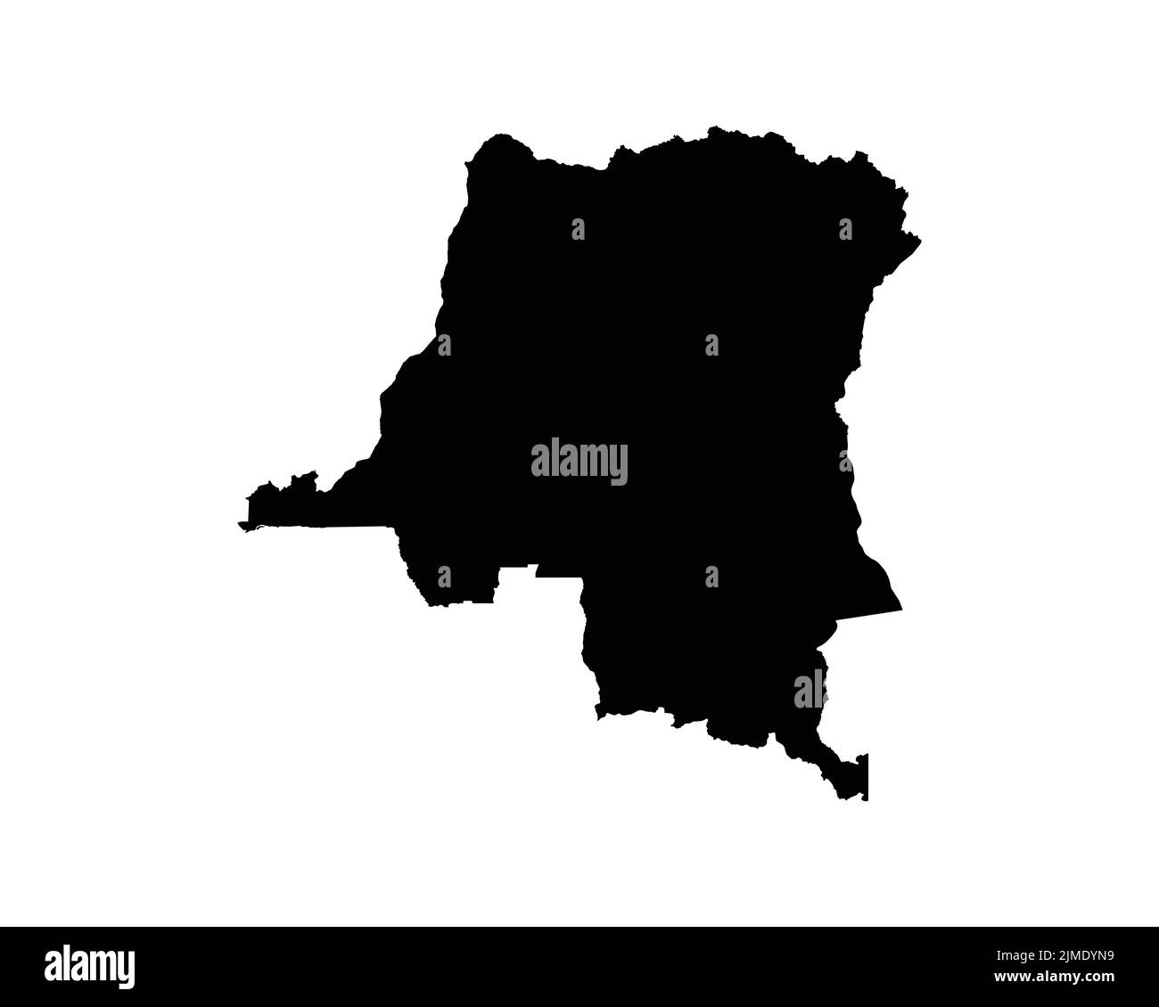
Karte der Demokratischen Republik Kongo. DRC DORC DR Kongo Country Map. Kongolesische Schwarz-Weiß National Outline Geographie Grenze Grenzform Territ
RFID:Bild-ID:2JMDYN9
Bilddetails
Bildanbieter:
XileoDesigns / Alamy VektorgrafikBild-ID:
2JMDYN9Freigaben (Releases):
Model - nein | Eigentum - neinBenötige ich eine Freigabe?Datum erstellt:
2. August 2022Ort:
Democratic Republic of the CongoWeitere Informationen: