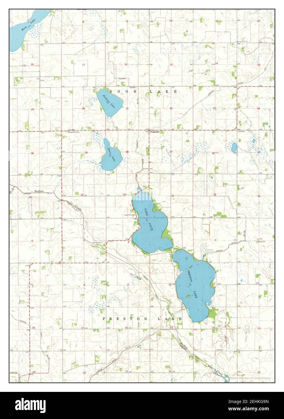
Lake Allie, Minnesota, Karte 1967, 1:24000, Vereinigte Staaten von Amerika von Timeless Maps, Daten U.S. Geological Survey
RMID:Bild-ID:2EHKG9N
Bilddetails
Bildanbieter:
Penta Springs Limited / Alamy Stock FotoBild-ID:
2EHKG9NDateigröße:
26,4 MB (1,4 MB Komprimierter Download)Freigaben (Releases):
Model - nein | Eigentum - neinBenötige ich eine Freigabe?Format:
2583 x 3568 px | 21,9 x 30,2 cm | 8,6 x 11,9 inches | 300dpiFotograf:
ArtokoloroWeitere Informationen:
Dieses Bild kann kleinere Mängel aufweisen, da es sich um ein historisches Bild oder ein Reportagebild handel