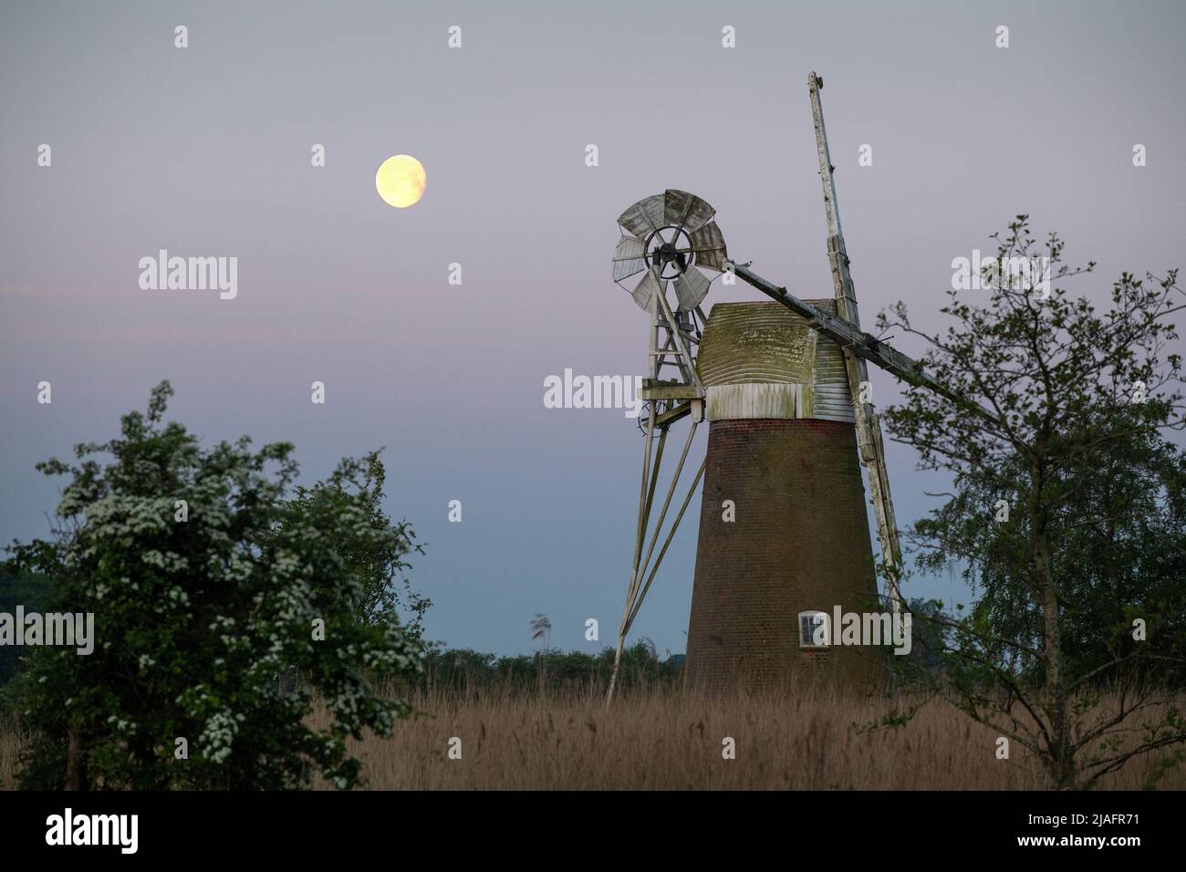
Norfolk Broads Norfolk Dawn England May 2022 Turf Fen Entwässerungsmühle auf dem Fluss Ant am How Hill auf den Norfolk Broads.. Die Entwässerungsmühle wurde gebaut
7932 x 5288 px | 67,2 x 44,8 cm | 26,4 x 17,6 inches | 300dpi
Aufnahmedatum:
1. Mai 2022
Ort:
Norfolk Broads England
Weitere Informationen:
Norfolk Broads_Norfolk_Dawn_England_May 2022 Turf Fen Drainage Mill on the River Ant at How Hill on the Norfolk Broads.. The drainage mill was built around 1875 by millwright William Rust. The Broads (known for marketing purposes as The Broads National Park) is a network of mostly navigable rivers and lakes in the English counties of Norfolk and Suffolk. Although the terms "Norfolk Broads" and "Suffolk Broads" are correctly used to identify specific areas within the two counties respectively, the whole area is frequently referred to as the Norfolk Broads. The lakes, known as broads, were formed by the flooding of peat workings. The Broads, and some surrounding land, were constituted as a special area with a level of protection similar to a national park by the Norfolk and Suffolk Broads Act 1988. The Broads Authority, a special statutory authority responsible for managing the area, became operational in 1989
Dieses Bild kann nicht für die private Nutzung (beispielsweise private Ausdrucke) lizenziert werden.