5616 x 3744 px | 47,5 x 31,7 cm | 18,7 x 12,5 inches | 300dpi
Aufnahmedatum:
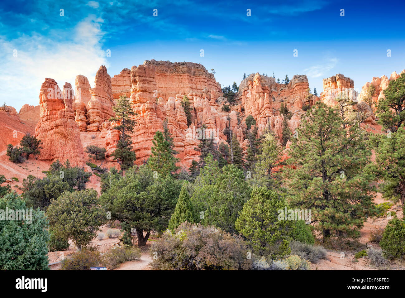
5. Oktober 2015
Ort:
Bryce Canyon in Utah;USA;America
Weitere Informationen:
Bryce Canyon National Park is located in southwestern Utah about 50 miles (80 km) northeast of and 1, 000 feet (300 m) higher than Zion National Park.[4][5] The weather in Bryce Canyon is therefore cooler, and the park receives more precipitation: a total of 15 to 18 inches (380 to 460 mm) per year.[6][7] Yearly temperatures vary from an average minimum of 9 °F (−13 °C) in January to an average maximum of 83 °F (28 °C) in July, but extreme temperatures can range from −30 to 97 °F (−34 to 36 °C).[7] The record high temperature in the park was 98 °F (37 °C) on July 14, 2002. The record low temperature was −28 °F (−33 °C) on December 10, 1972.[8] The national park lies within the Colorado Plateau geographic province of North America and straddles the southeastern edge of the Paunsaugunt Plateau west of the Paunsaugunt Fault (Paunsaugunt is Paiute for "home of the beaver").[9] Park visitors arrive from the plateau part of the park and look over the plateau's edge toward a valley containing the fault and the Paria River just beyond it (Paria is Paiute for "muddy or elk water"). The edge of the Kaiparowits Plateau bounds the opposite side of the valley.