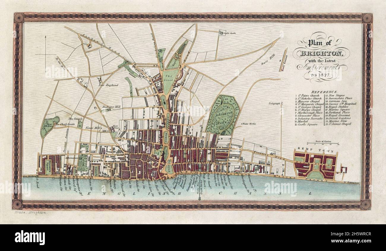
Karte von Brighton und angrenzenden Teilen von Hove. Historische Strassenkarte, Brighton, England, Vereinigtes Königreich. „PLAN VON BRIGHTON MIT DEN NEUESTEN VERBESSERUNGEN FÜR 1827“
RMID:Bild-ID:2H5WRCR
Bilddetails
Bildanbieter:
J Marshall - Tribaleye Images / Alamy Stock FotoBild-ID:
2H5WRCRDateigröße:
41,6 MB (2,9 MB Komprimierter Download)Freigaben (Releases):
Model - nein | Eigentum - neinBenötige ich eine Freigabe?Format:
5000 x 2908 px | 42,3 x 24,6 cm | 16,7 x 9,7 inches | 300dpiAufnahmedatum:
20. Oktober 2021Ort:
United Kingdom, England, Brighton and HoveFotograf:
World Illustrated